Ouachita Trail: 58.5-63.0 – Eagle Gap to MM63 on W. Fourche Mtn. (Section 3)

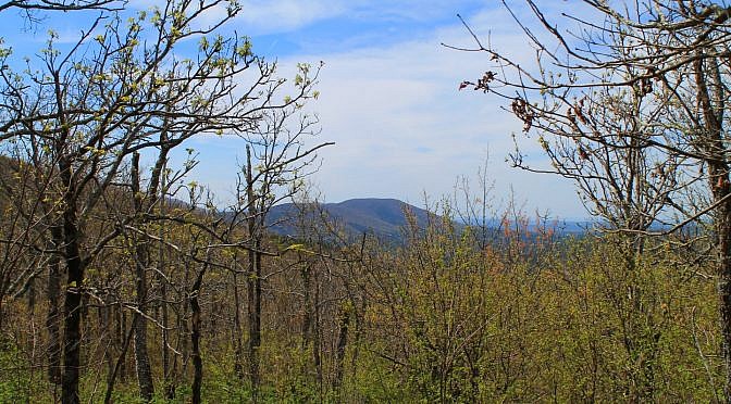
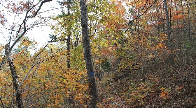
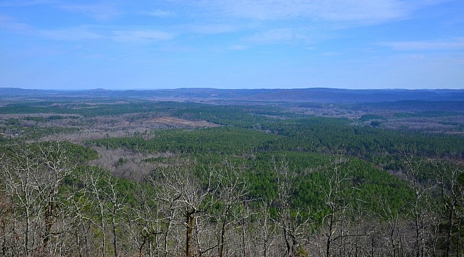
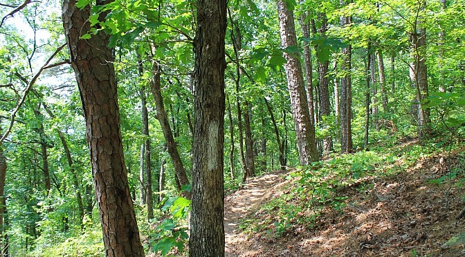
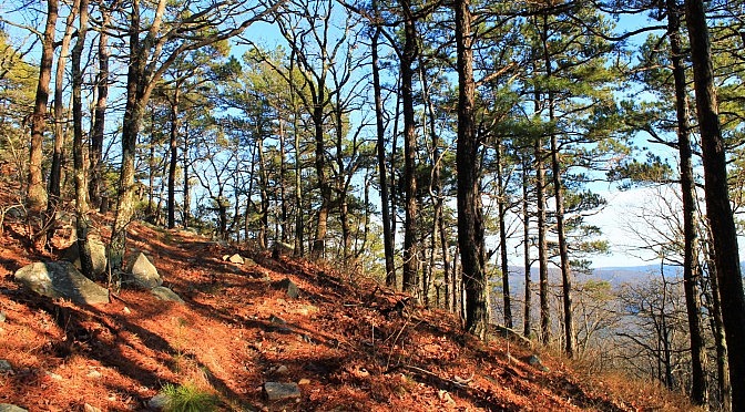
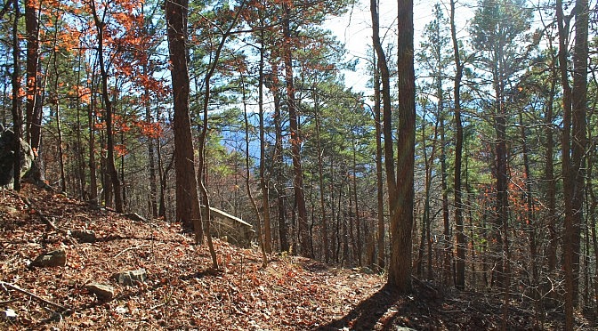
This part of Section 3 (as Tim Ernst designates) of the Ouachita Trail (OT) is from 58.5 to 63.0 in Polk County, Arkansas, near Mena. It starts about 7 miles east of Queen Wilhelmina State Park at the Eagle Gap juncture and heads up the western part of Fourche Mountain. It’s a pretty vigorous hike. […]

Ouachita Trail 01 Pics: FR 6014 to Winding Stair TH (21.7 to 23.7)

The 1.8-mile stretch of Section 1 of the Ouachita Trail from Forest Road 6014 (west end) to the Winding Stair Trailhead is an enjoyable walk. Along with the rest of Section 1, it is on Winding Stair Mountain (Ouachita National Forest, LeFlore County, Oklahoma) one of my favorite places to hike. This stretch covers the […]

Hunt’s Loop Trail (Ouachita Forest) – 4 mi

One of my favorite day hikes around Hot Springs is the Hunt’s Loop Trail in the Ouachita National Forest (north Garland County/south Perry County). The 4.3-mile-hike takes you straight up Short Mountain to a gorgeous vista and then through some of the most beautiful woods along the ridge of the mountain before returning to the […]

Earthquake Ridge Trail Pics (Ouachita Forest)

The Earthquake Ridge Trail, including the adjacent Southern Loop, is an enjoyable 3-mile hike at the east end of the Talimena Scenic Drive (Highway 88) near Mena, Arkansas. This Ouachita National Forest hike is easy to locate, starting at the Visitor Information Center. My profile of this trail with pics from my June 6, 2015 hike is in […]

Ouachita Trail 02: Pics of Winding Stair TH to Highpoint to Saddle (23.7 to 25.8)

The 2.5-mile segment of the Ouachita Trail from Winding Stair Trailhead to the saddle around mile point 25.8 is a cool one. It’s on Winding Stair Mountain (Ouachita National Forest, LeFlore County, Oklahoma) and goes to the highpoint (at 2,450 feet) before heading downhill to the saddle. Most of the climb to the highpoint is […]

Ouachita Trail 02: Pics of Pashubbe TH to Kiamichi River TH (Wilton Mtn.) (34.3 – 39.2)

Back in early December, I hiked the 4.8 mile Ouachita Trail Section 2 segment that climbs over Wilton Mountain (LeFlore County, Oklahoma), an offshoot of Rich Mountain. It goes from the Pashubbe Trailhead (mile point 34.3) to the Kiamichi River Trailhead (mile point 39.2). I did it as a 9.6-mile out-and-back hike. It’s a vigorous […]