Billy Creek Trail – North Loop (Ouachita Forest) – 7 mi

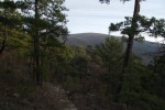
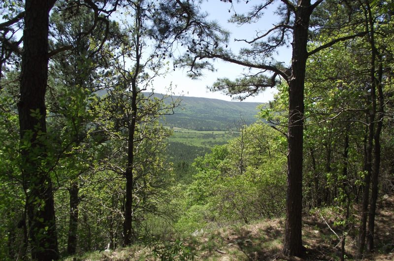
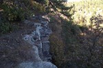
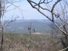
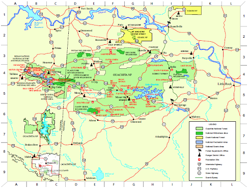
There are two Billy Creek Trail loops. (The Billy Creek Trail is on Winding Stair Mountain, LeFlore County, Oklahoma, in the Ouachita National Forest.) My post on the south loop is here. The south loop is a 7.3-mile hike with 600 feet in elevation change. It starts with a spur near the Billy Creek Campground. […]

Ouachita Trail 02: 2011 Pashubbe TH to Kiamichi River TH Hike

My hike yesterday on the Wilton Mountain part of the Ouachita Trail (LeFlore County, Oklahoma) was pretty exciting for me. It was the longest hike I have done (9.6 miles, out and back), and it had the most ascent (combined total of 2100 feet) I have hiked in one day. I thought it was a […]

Hole in the Ground Mtn Trail (Ouachita Forest) – 7 mi (o&b)

Hole in the Ground Mountain Trail is one of those trails that seemed much more difficult when I first hiked it a few years ago than it does to me now. Some weight loss and lots of day hikes have probably helped. Even though it doesn’t seem all that difficult to me now, I’m still […]

Ouachita Trail: 96.0-101.0 – FR 33 to FR 274(W) (Blowout Mtn) (Section 5)

Today, my friend David and I hiked what I have labeled segments 05-C and 05-D of the Ouachita Trail. This is a 5-mile segment of the trail that starts just a few miles east of Big Brushy Campground and extends across Blowout Mountain and the Blowout Mountain Scenic Area. It begins at Forest Road 33 […]

Ouachita Forest Recreation Map

This pdf is a helpful USFS overview map of the Ouachita National Forest. It has icons indicating all the USFS recreation sites in the Forest as well as National Wilderness Areas, National Scenic Areas, and district ranger offices. You can download the map here or via USFS here.