The hike to Big Creek Cave Falls (Newton County, Ozark National Forest) and along Big Creek is one of the best surprise hikes in the Ozarks. This is a spectacular area and is now one of our favorite places in northwest Arkansas.
It’s surprising that in 12 years of coming to the area I’d never heard anyone even mention this great hike and unique waterfall. I had just pulled it out of Tim Ernst’s Arkansas Waterfalls book and thought, “That looks cool. We should check it out.” And it is definitely worth checking out.
The setting is beautiful. There are multiple waterfalls in the area; two of which pour right out of a cave. And the creek itself has a lot of spectacular water features, and the grand finale does not disappoint.
There is no official trail. However, half of the trail is very easy to navigate; the other half requires some imagination and bushwhacking.
The best time to check out the trail is probably in early spring when the water is up, but before the growth in the woods becomes too challenging to navigate.
Getting There
To get to the trail head, from the intersection of Highway 16 and Highway 7 near Dear, go north on Highway 7 for 1.3 miles and turn right on NC 6840. (This is also Forest Road 1224/County Road 59 if using guidebooks or maps. But the new sign reads “NC 6840.”)
The road sort of looks like the driveway to a 1-story brick house. Take the road past the house. It eventually begins to look more like a road than a driveway.
Take NC 6840 for 2.8 miles. The road is actually not as bad as it seems like it would be when you start, but it is fairly narrow and very steep. If conditions are wet, you may want to have a 4-wheel drive vehicle to be sure you can navigate out.
At about 2.8 miles, the road is nearly at the bottom of the hill and you will see a parking area and a gate on your right from what used to be an old home site. Park here.
The trail begins on the other side of the gate by following the old driveway. The home site is on your right.
The Hike
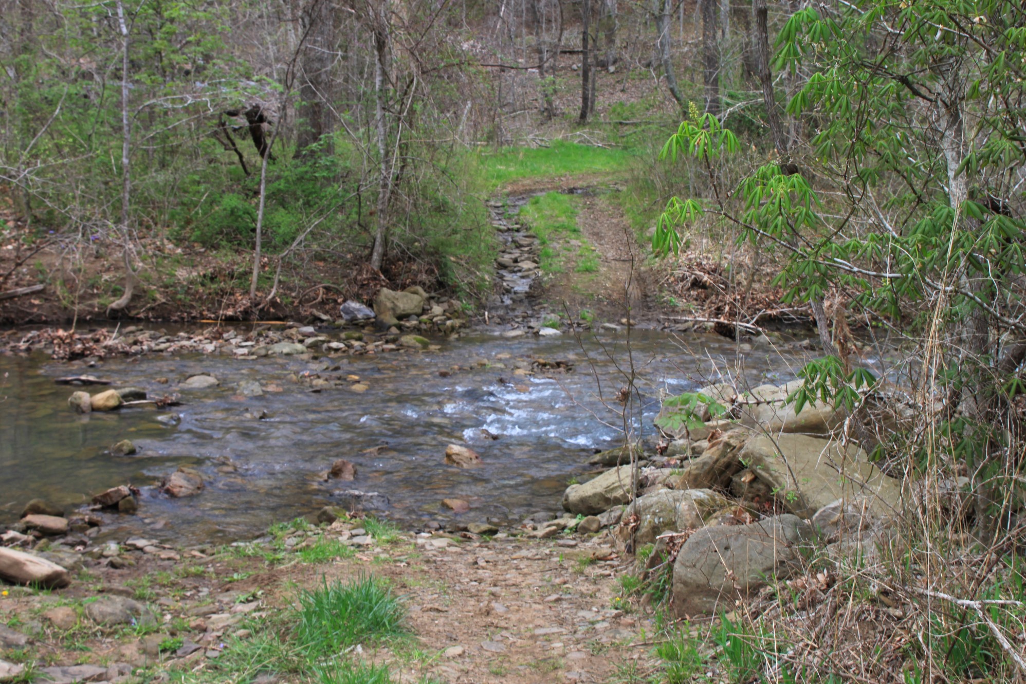
The driveway is very easy to follow and makes for some good hiking. Eventually, the path passes an old barn that has fallen down and then crosses the Right Fork of Big Creek. You’ll most likely have to wade the creek.
The creek was about calf deep when we were there. The stones on the bottom were smooth, so we were able to take off our boots and wade barefoot, but you may want to bring a pair of water shoes with you for the crossing.
A note of caution. Fording a stream or river can be dangerous. Don’t cross a river or stream where it is more than waist deep or if you can’t see the bottom.
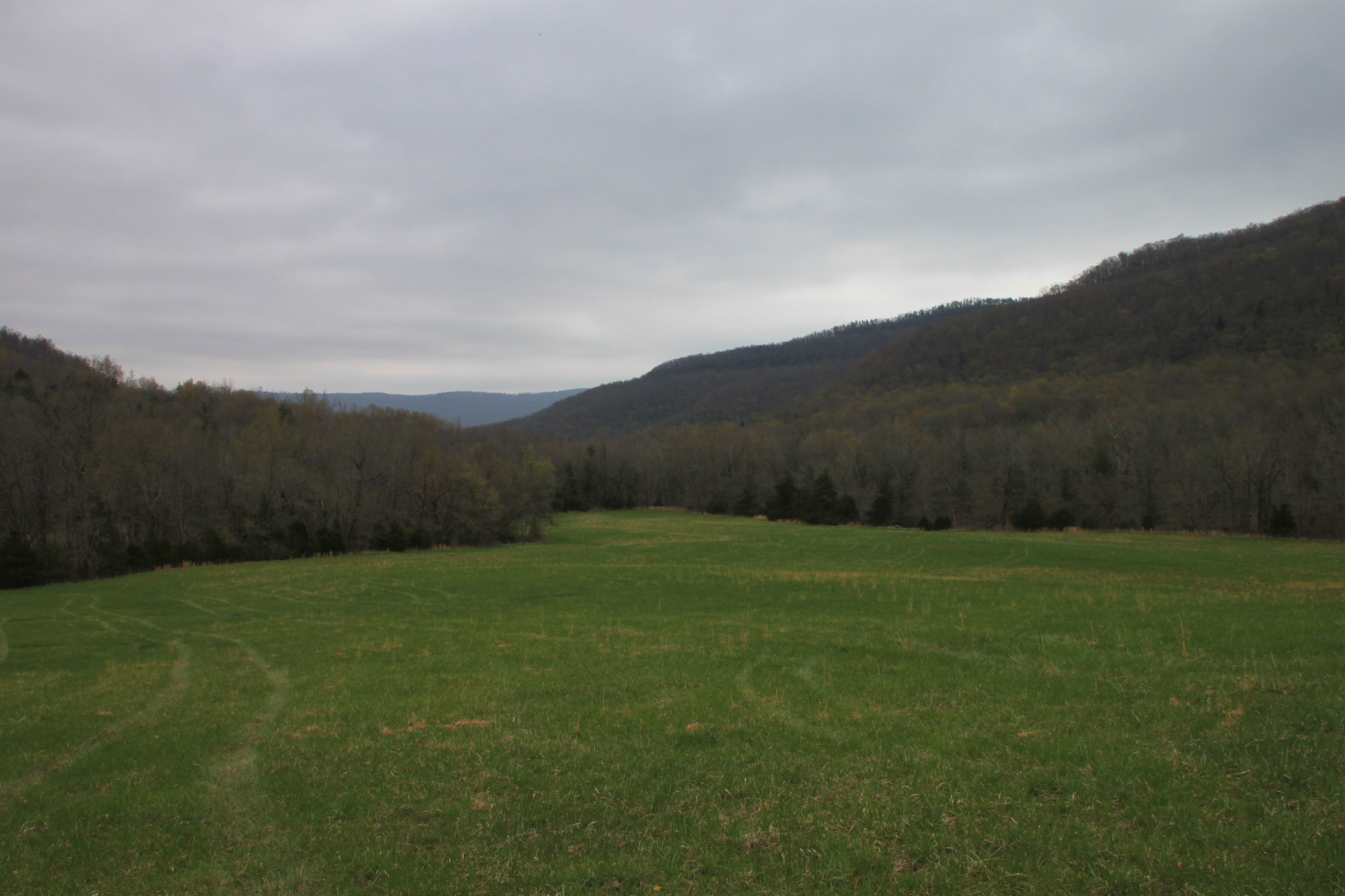
Once on the other side of the creek, follow the big pasture to the left and then turn right up the hill.
At the top of the hill at the back of the pasture, there are a couple of trees that are taped that tell you where the trail begins in the woods.
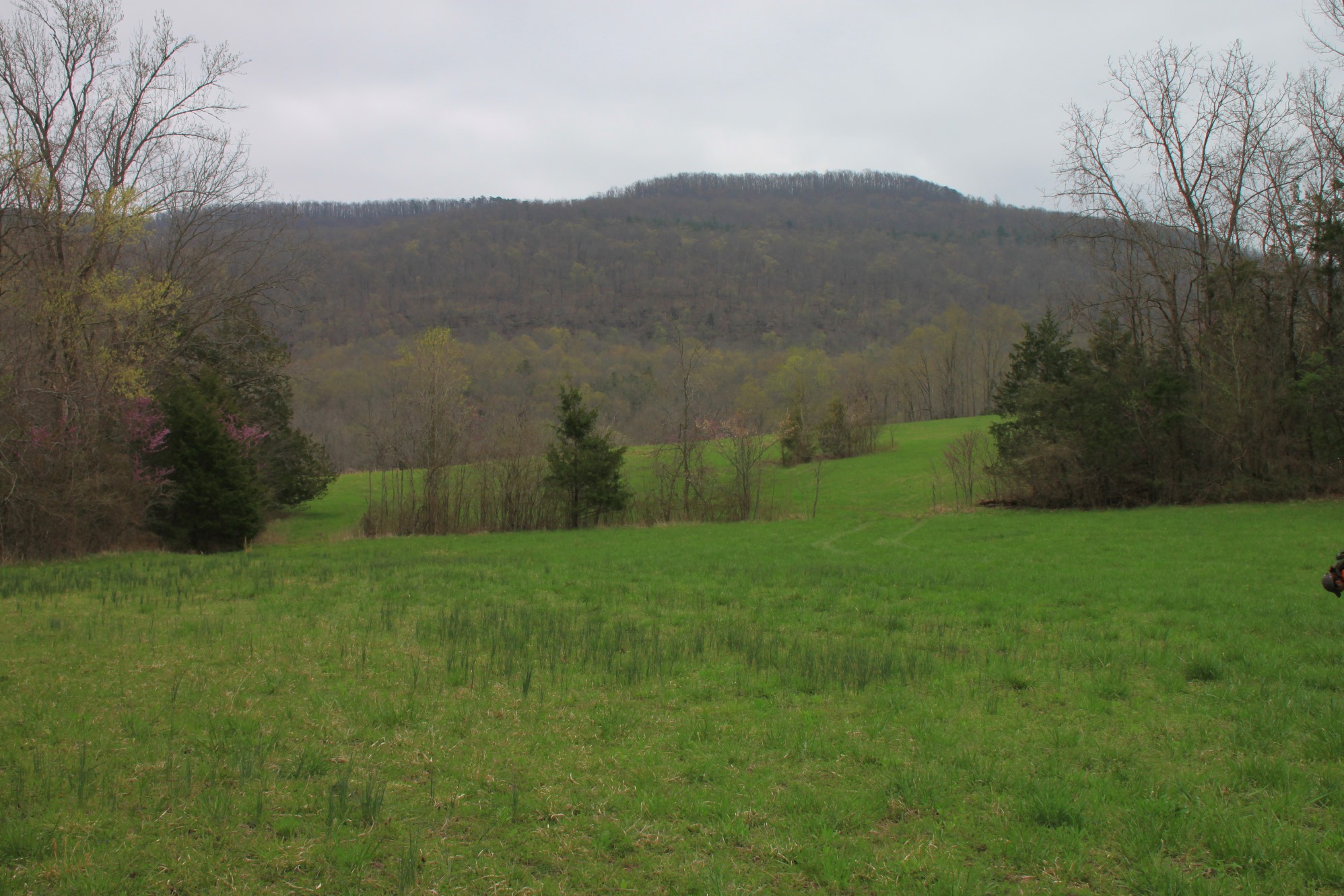
This pasture is beautiful — with Left Fork of Big Creek to your left, and several big mountains all around. It would have been a peaceful place to call home.
Once you enter the woods, the trail becomes a little tricky. There are trees marked with tape throughout, and sometimes the trail is easy to follow, but sometimes you may just find your way into some sticker bushes wondering where the trail went.
Follow along as best you can in the woods along Big Creek. You should not get lost if you just follow the creek.
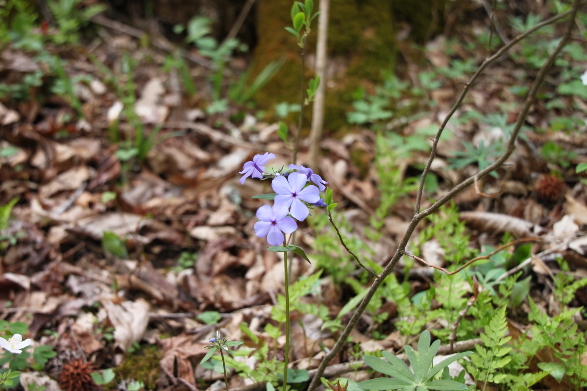
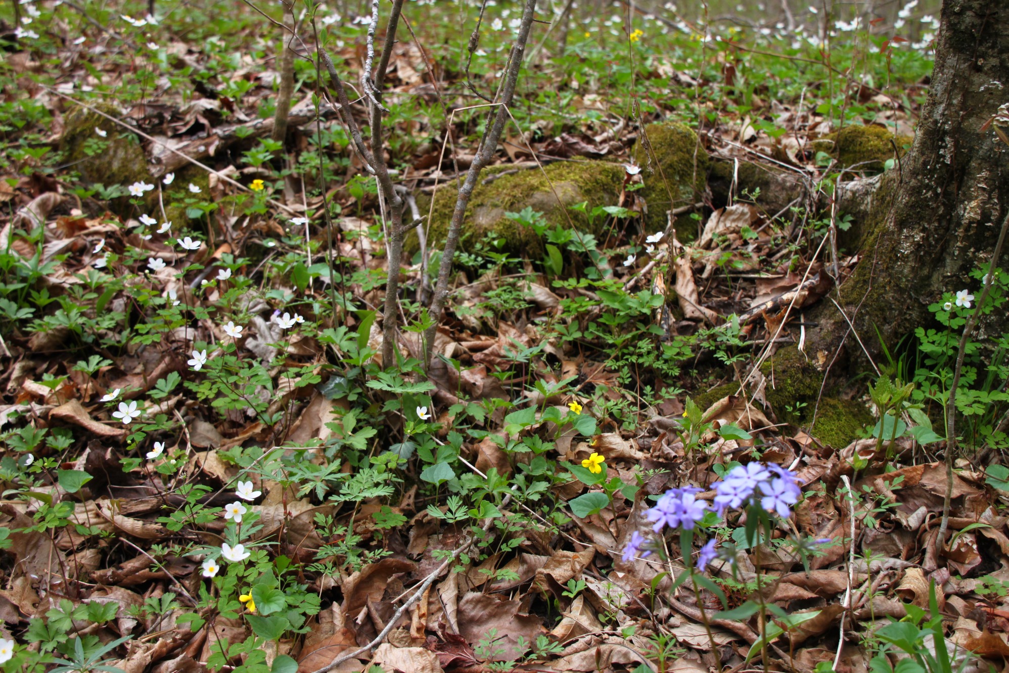
We were there April 12 when there were white, yellow and purple wildflowers everywhere.
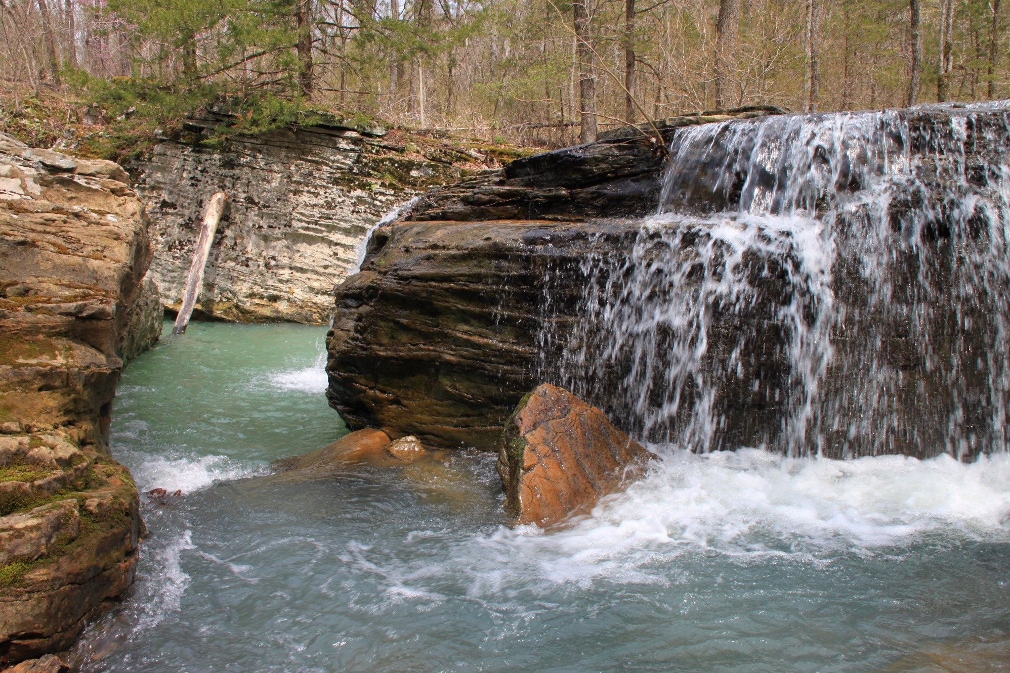
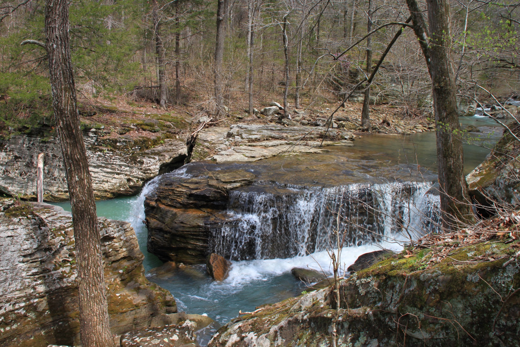
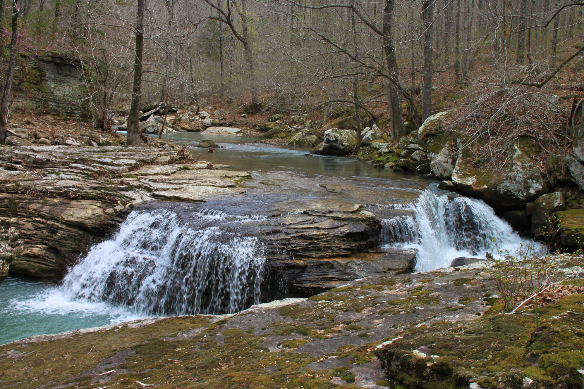
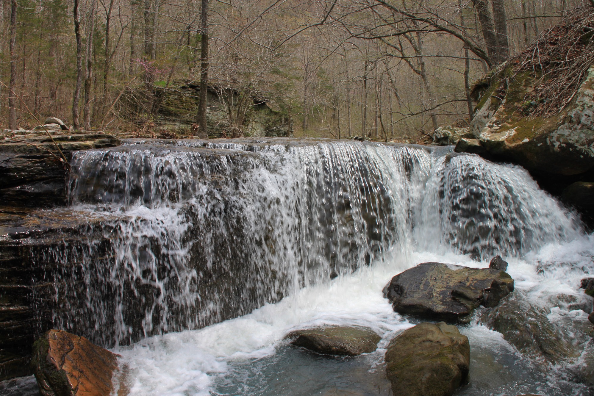
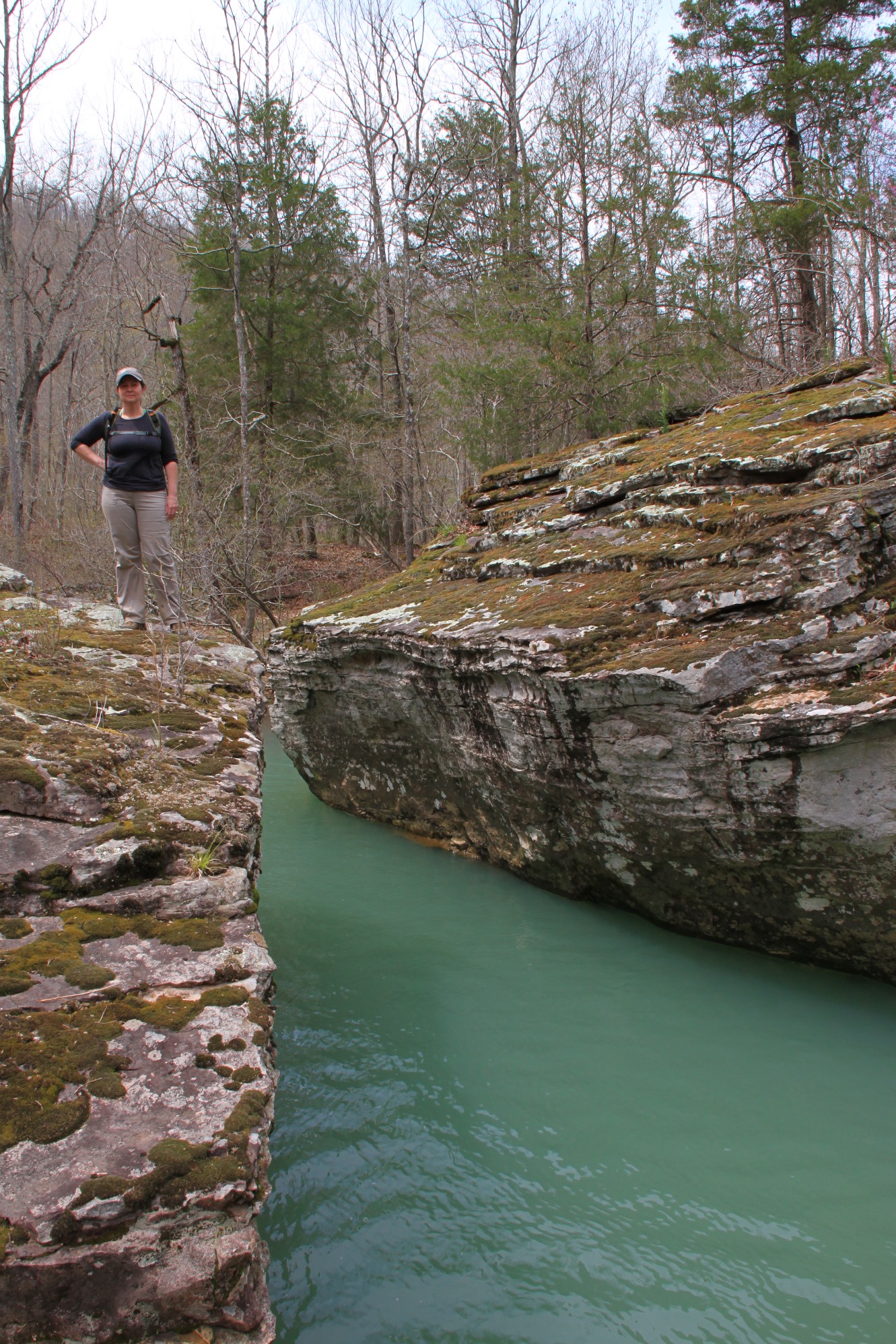
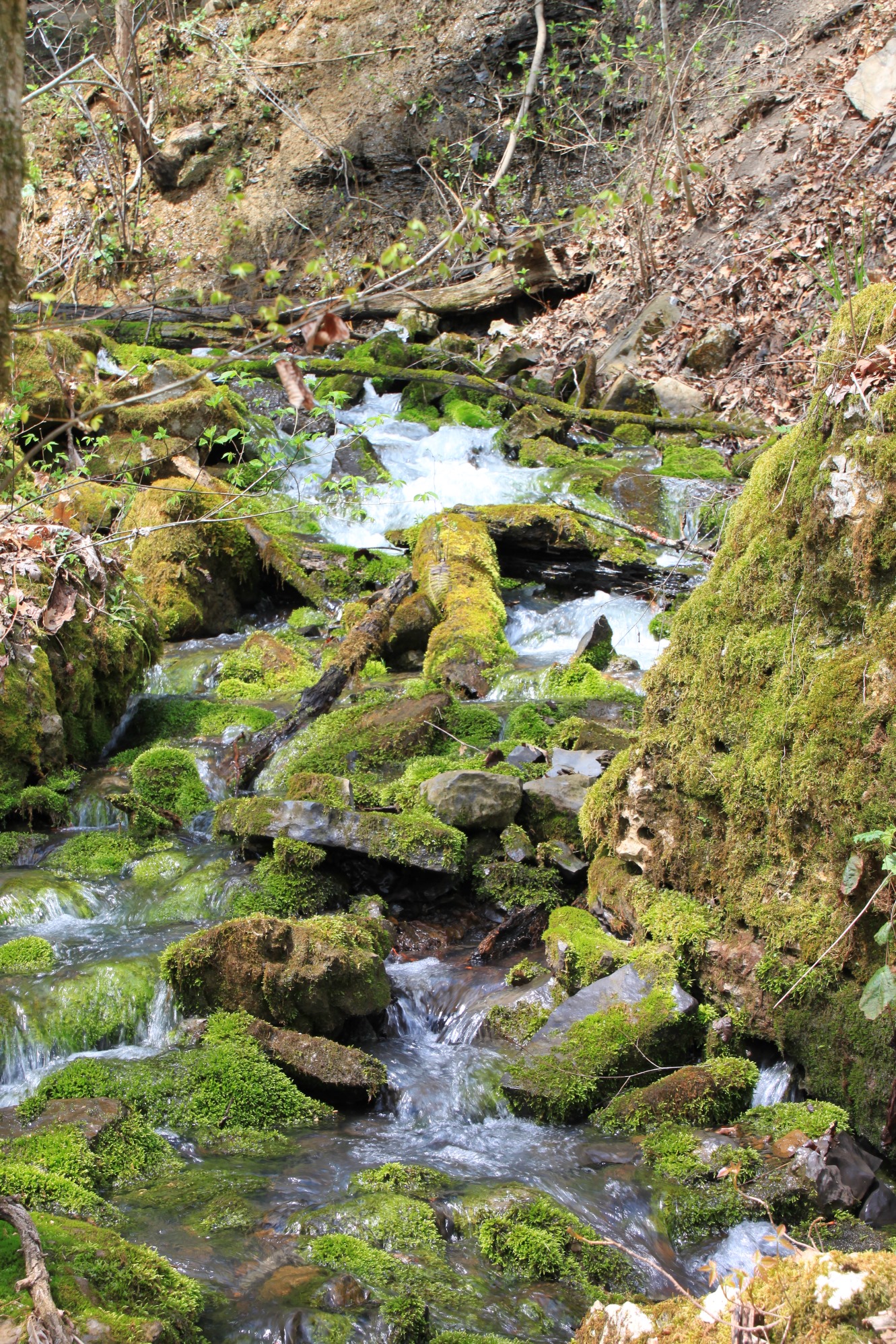
All along Big Creek, there are a ton of amazing water features, including beautiful blue pools. Big Creek (like Richland Creek) reminds me of the big mountainous streams in many of our Rocky Mountain national parks.
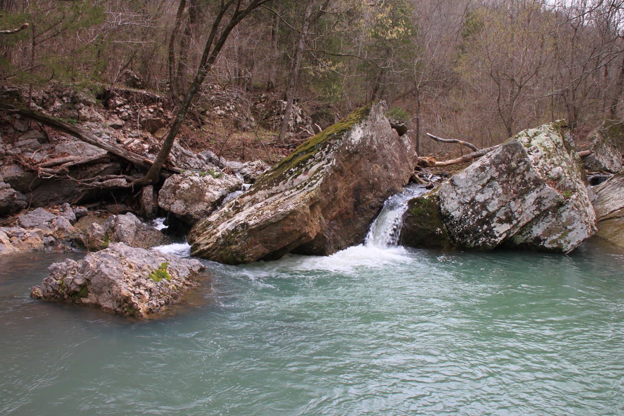
One of the features here is an 8-foot-tall waterfall that I think is pretty amazing (and completely understated in the guidebook).
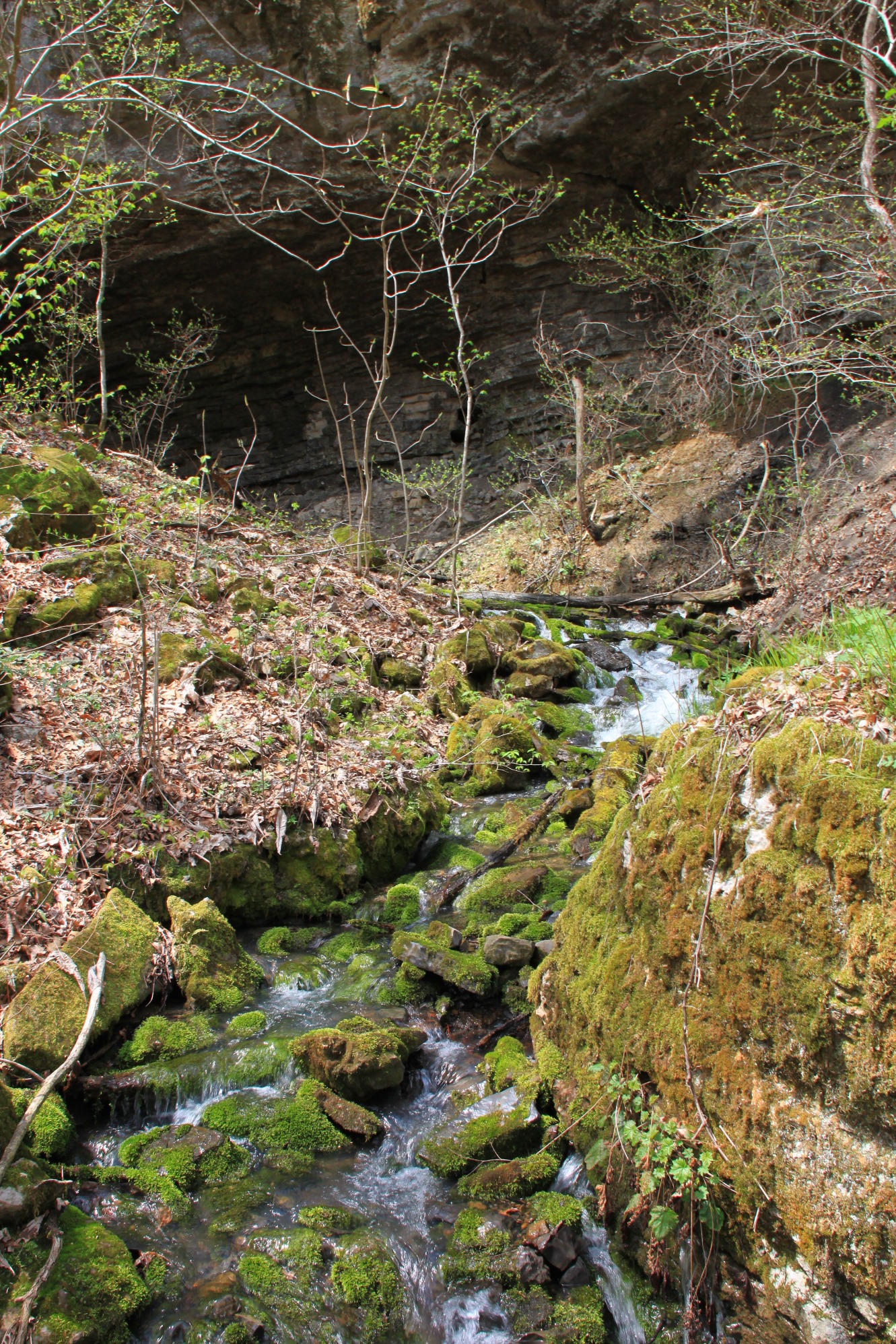
At about 1.3, there is a creek that joins in from the right. Follow this creek up the hill to the bluff line.
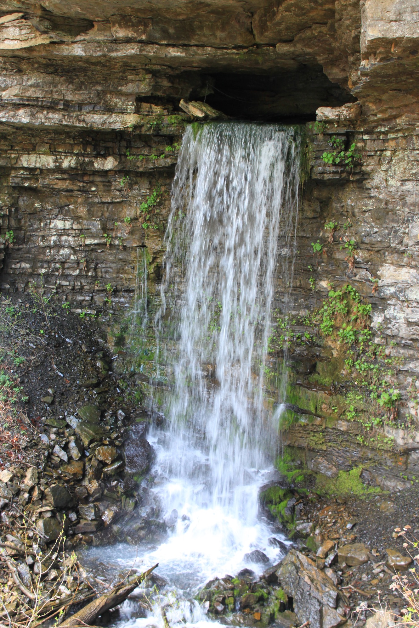
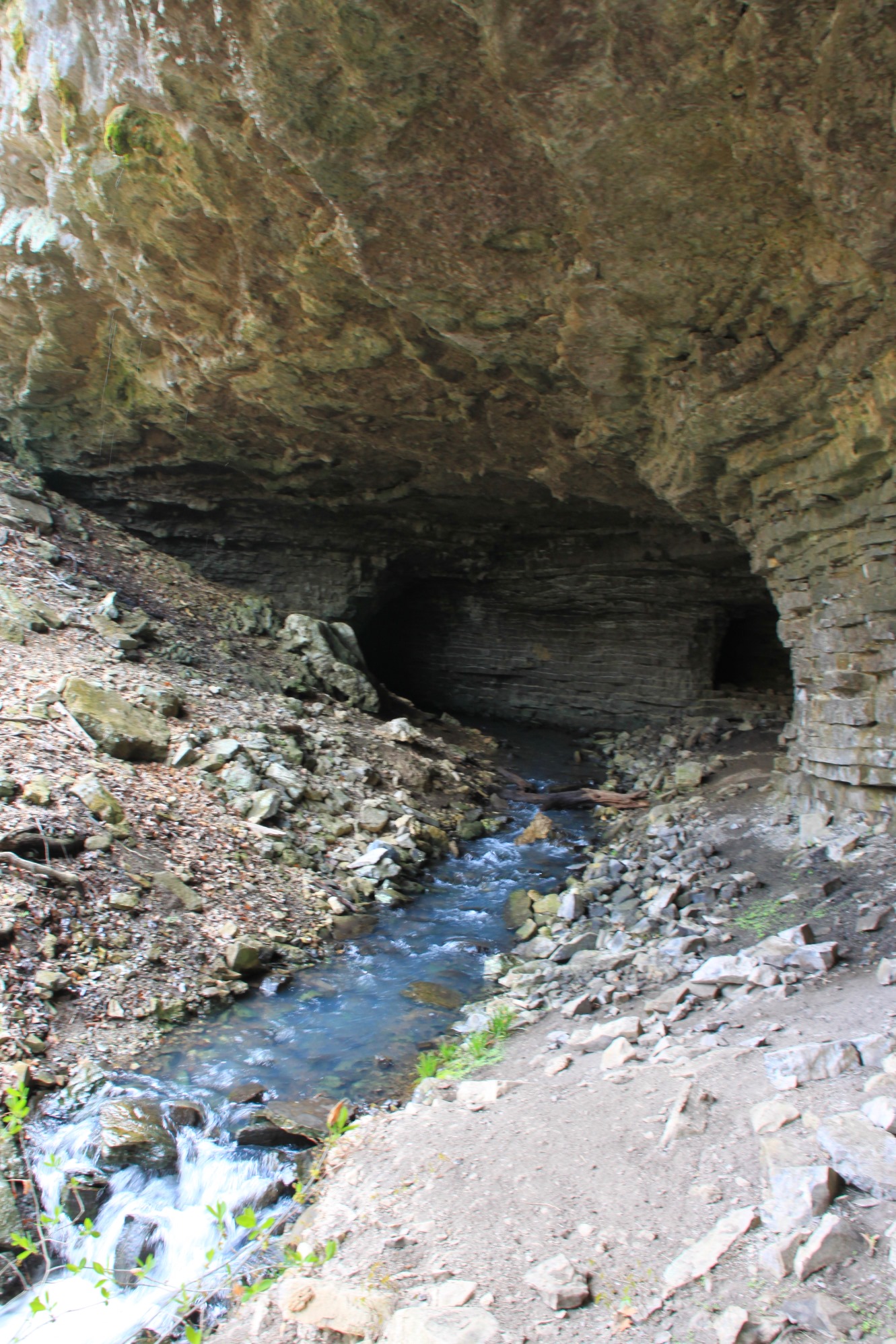
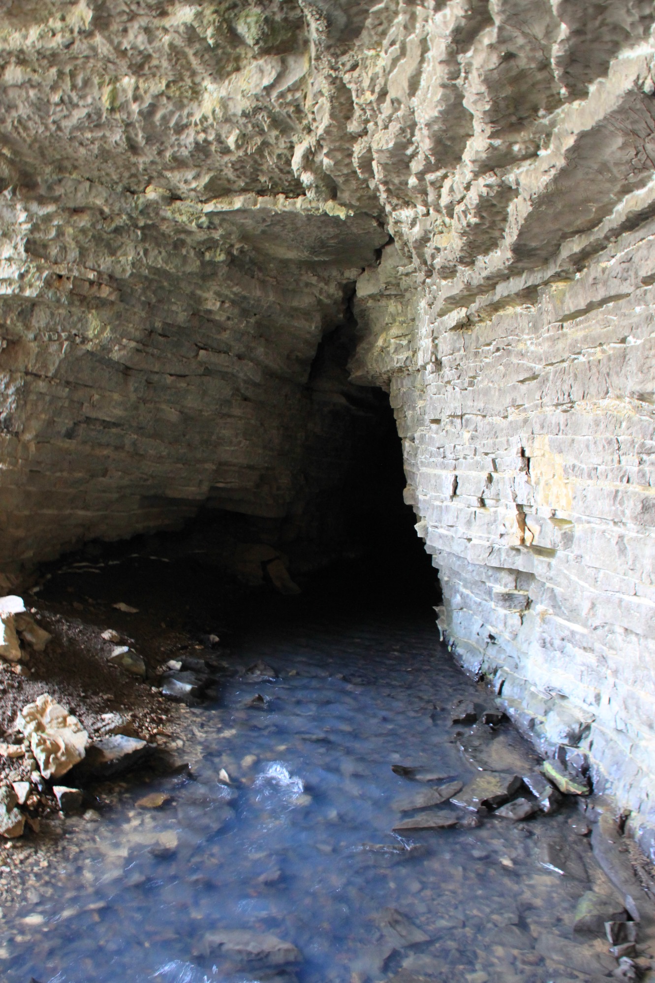
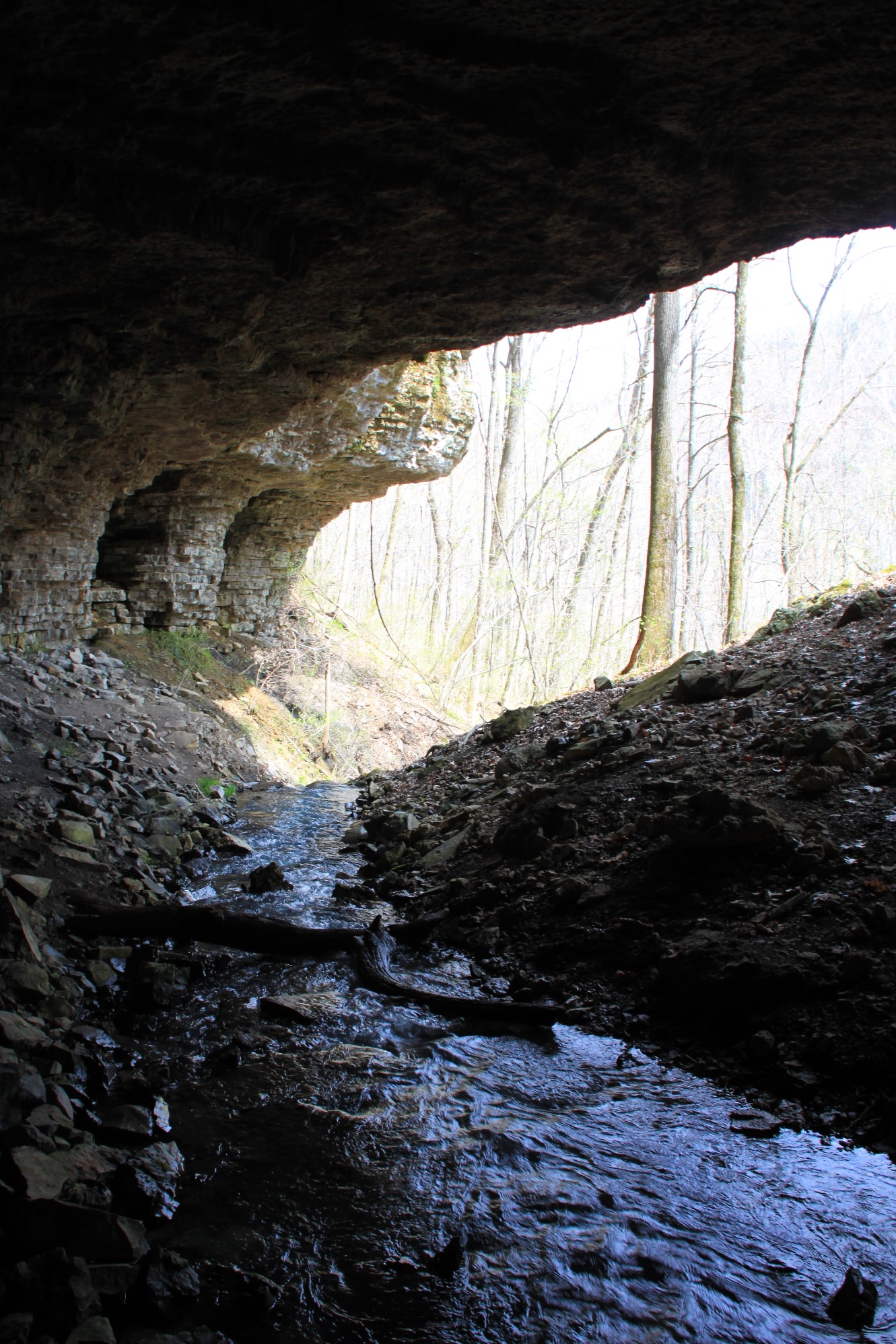
Here, there is a very nice cascade coming right out of the cave in the bluff. This is a cool place to hang out and watch the water cascading over moss-covered rocks.
Then, cross the creek inside the cave, and follow the bluff line around to your left.
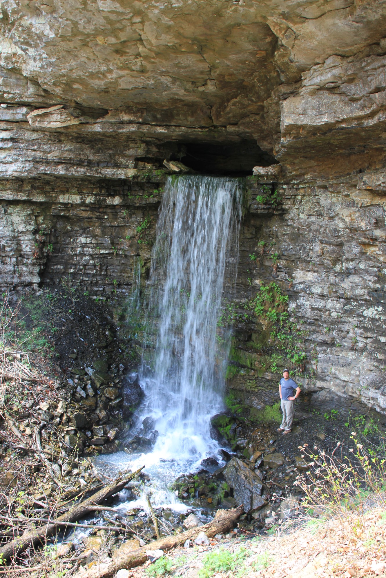
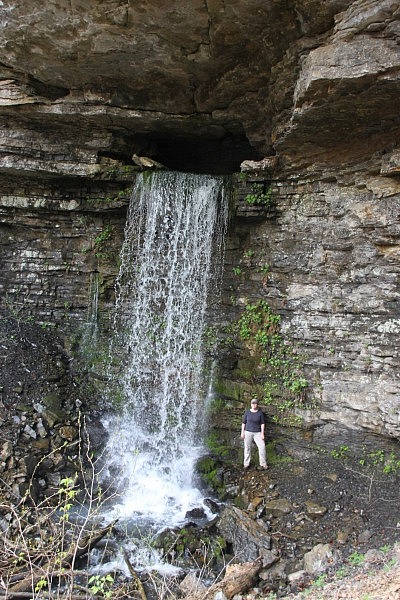
After a few hundred yards, you will see the highlight of the hike–Big Creek Cave Falls. This is a powerful 29-foot-tall waterfall that flows right out of a cave. It immediately became one of our favorite places in the Ozarks.
I really do hope they make an official trail here someday. This is an amazing hike and one I highly recommend.
When you are done, head back the way you came.
Final Notes
Check out Wolf Creek Falls, just a quarter-mile away, while you are in the area. It is another waterfall that comes out of a cave.
The full out-and-back hike is 2.9 miles. I rate the difficulty as strenuous (4 out of 5).
For footwear, I recommend hiking shoes and maybe some water shoes for the water crossings.
These photos are all from our April 12, 2014 hike.
Photo Gallery
Click below for full-screen photo gallery.

[A version of this post was originally published on April 14, 2014 in the blog “Exploring Northwest Arkansas.”]
Last revised: 3-13-2020.