Earthquake Ridge Trail + Southern Loop (Ouachita Forest) – 3 mi

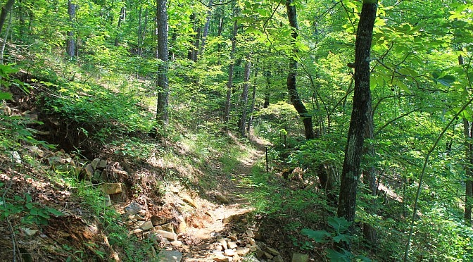
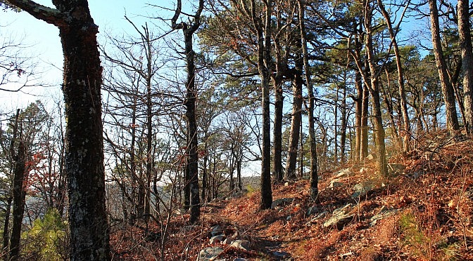
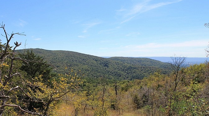
The Earthquake Ridge Trail is a short moderately challenging loop trail in the Ouachita National Forest, just north of Mena, Arkansas. It has one main loop and several additional loops, all at the southeast end of Rich Mountain. On this hike, we are doing the main loop plus the Southern Loop. By my measurements, the […]

Ouachita Trail 01: Pics of Horsethief Springs to FR 6014 (19.9 – 21.7)

One of my favorite parts of the Ouachita Trail to walk is the 1.6 or so mile stretch of Section 1 between Horsethief Springs and Forest Road 6014 (to the east). This is on Winding Stair Mountain (Ouachita National Forest, LeFlore County, Oklahoma). It’s easy to get to, and it’s an enjoyable scenic hillside walk […]

Ouachita Trail 01: Pics of FR 6010 to Deadman’s Gap TH (5.8 – 8.0)

Back on November 26, 2015, I had a cool hike doing the 2.2-mile segment on the Ouachita Trail in LeFlore County, Oklahoma, from Deadman’s Gap (mile point 8.0) to Forest Road 6010 (about mile point 5.8). This 2.2-mile segment of Section 1 of the Ouachita Trail (Ouachita Forest, LeFlore County, Oklahoma) runs from Forest Road […]

Ouachita Trail: 54.1-56.7 – Talimena Scenic Drive to Hwy 270/Black Fork Mtn. TH (Section 3)

This 2.6-mile Ouachita Trail Section 3 segment is a pretty vigorous hike if you do it as an out-and-back as I did starting (east to west) at the Highway 270 (Black Fork Mountain Wilderness) Trailhead (Polk County, Arkansas). There is an elevation increase of about 1,000 feet, almost all of it in the first 1.5 […]

Ouachita Trail: 23.7-26.3 – Winding Stair TH to Highpoint to Saddle (Section 2)

This is a great 2.5-mile strip of the Ouachita Trail on Winding Stair Mountain (Ouachita National Forest, LeFlore County, Oklahoma). It’s easy to get to, has some wonderful views and very interesting terrain. The highlight of this segment is the Winding Stair Mountain highpoint at about MM25. The elevation here is about 2,450 feet. At […]

Ouachita Trail 01: Potato Hill Vista Spur to FR 6010 Pics (2.4 to 5.8)

The 3.5 mile stretch of the Ouachita Trail from the Potato Hill Vista spur to Forest Road 6010 is a pretty cool one. There are a number of nice vistas and several areas with interesting rocks. This segment has a moderate amount of climbing. The trail profile I did from my October 3, 2015 hike […]