Back in early December, I hiked the 4.8 mile Ouachita Trail Section 2 segment that climbs over Wilton Mountain (LeFlore County, Oklahoma), an offshoot of Rich Mountain.
It goes from the Pashubbe Trailhead (mile point 34.3) to the Kiamichi River Trailhead (mile point 39.2). I did it as a 9.6-mile out-and-back hike.
It’s a vigorous out-and-back hike with 2,100 feet of total ascent. There are some very nice views on Wilton Mountain, especially during leaf-off.
My trail profile for this segment is at this link. These are some additional photos from my December 5, 2015 hike.
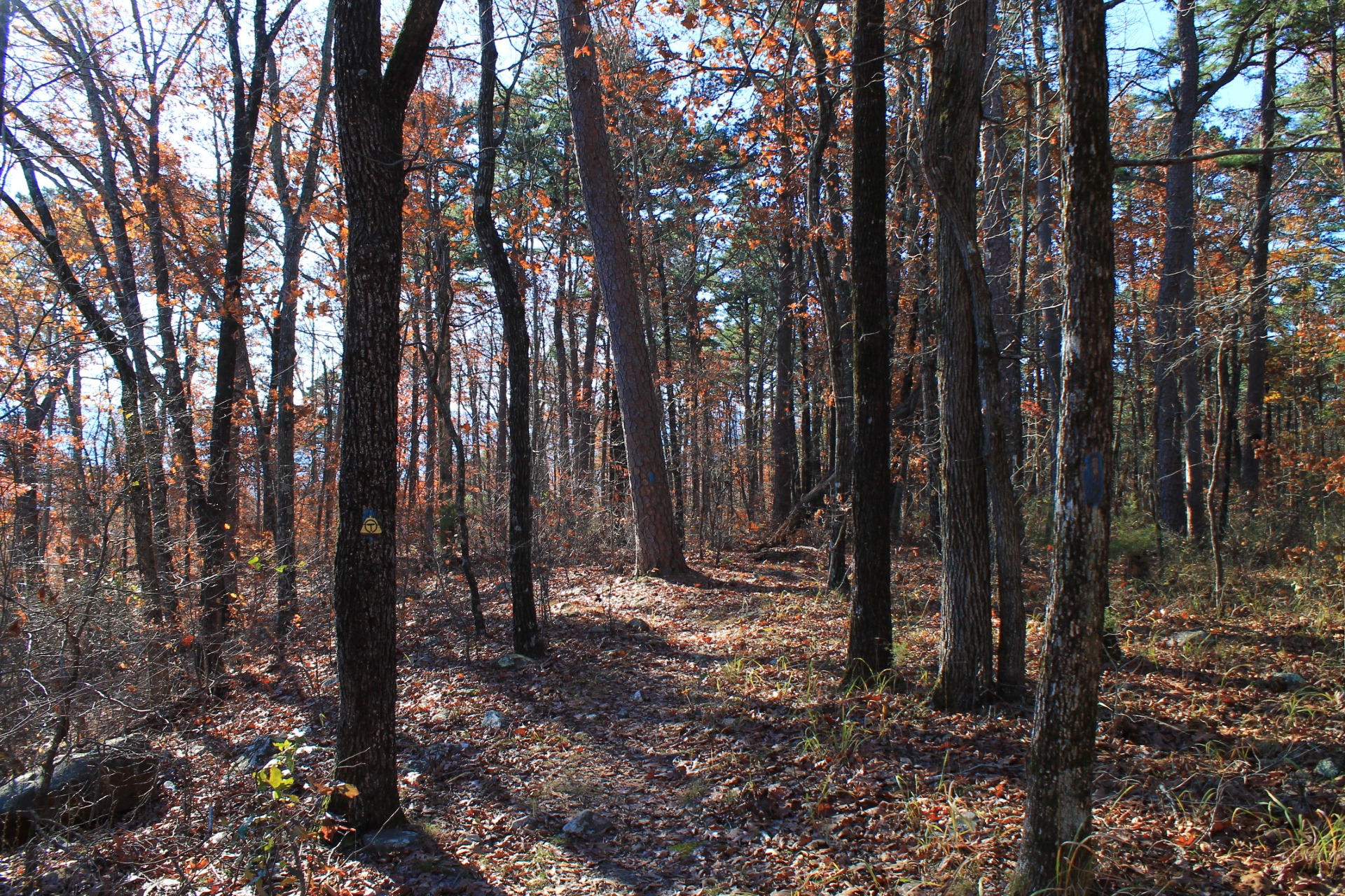
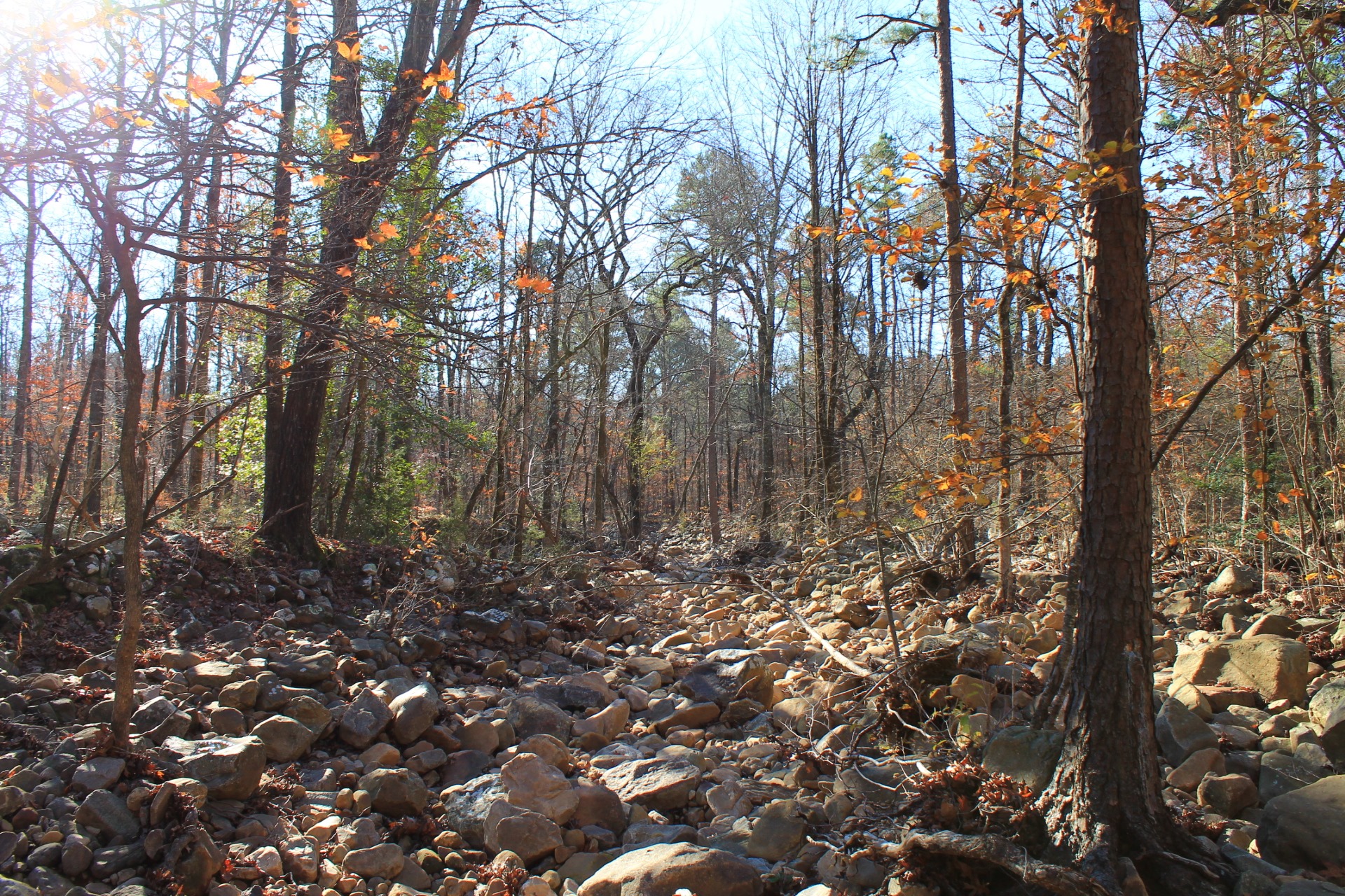
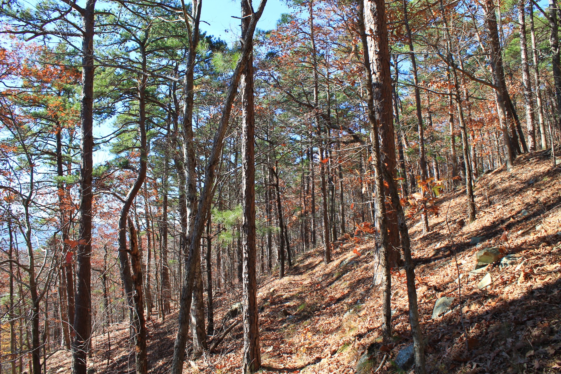
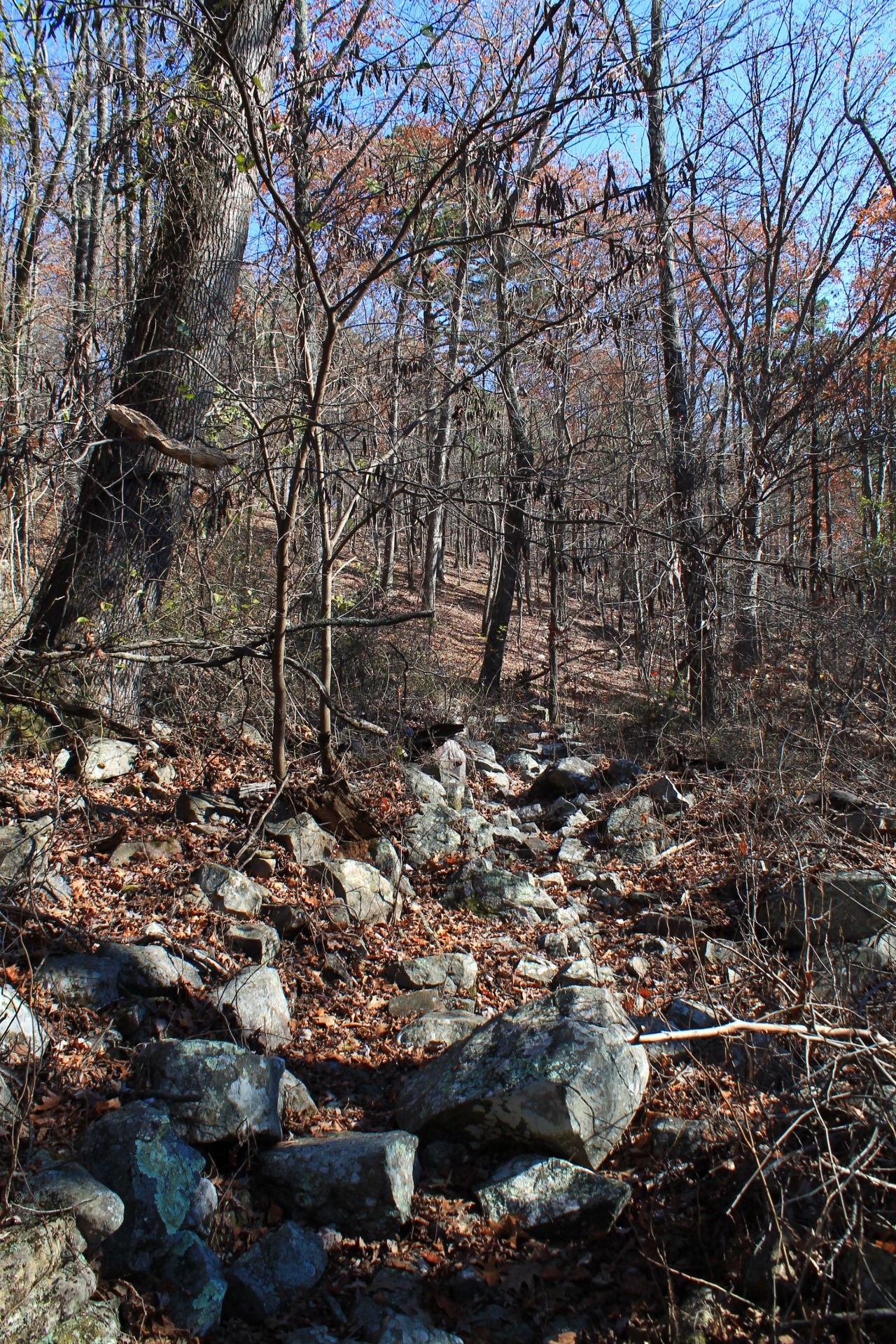
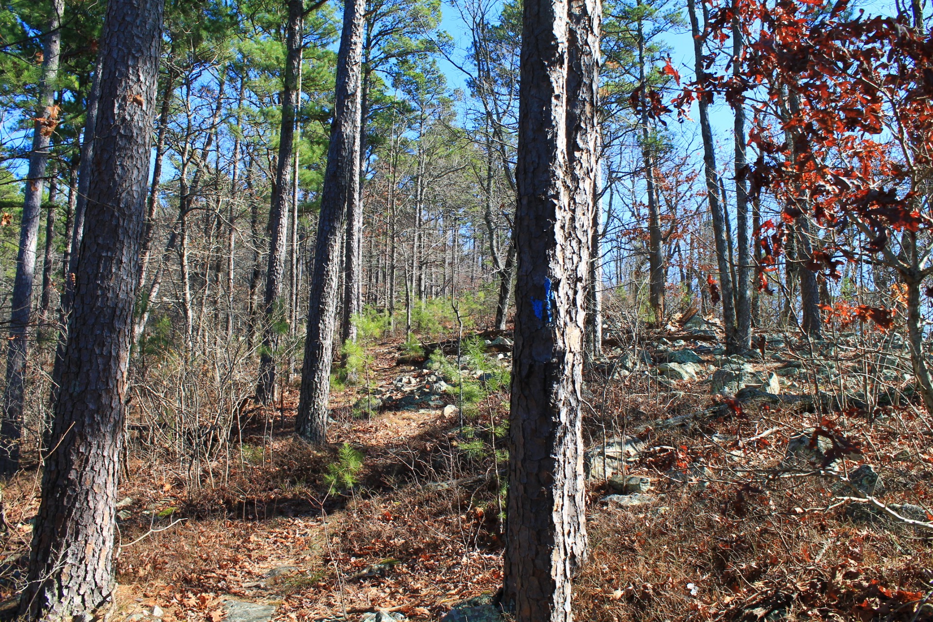

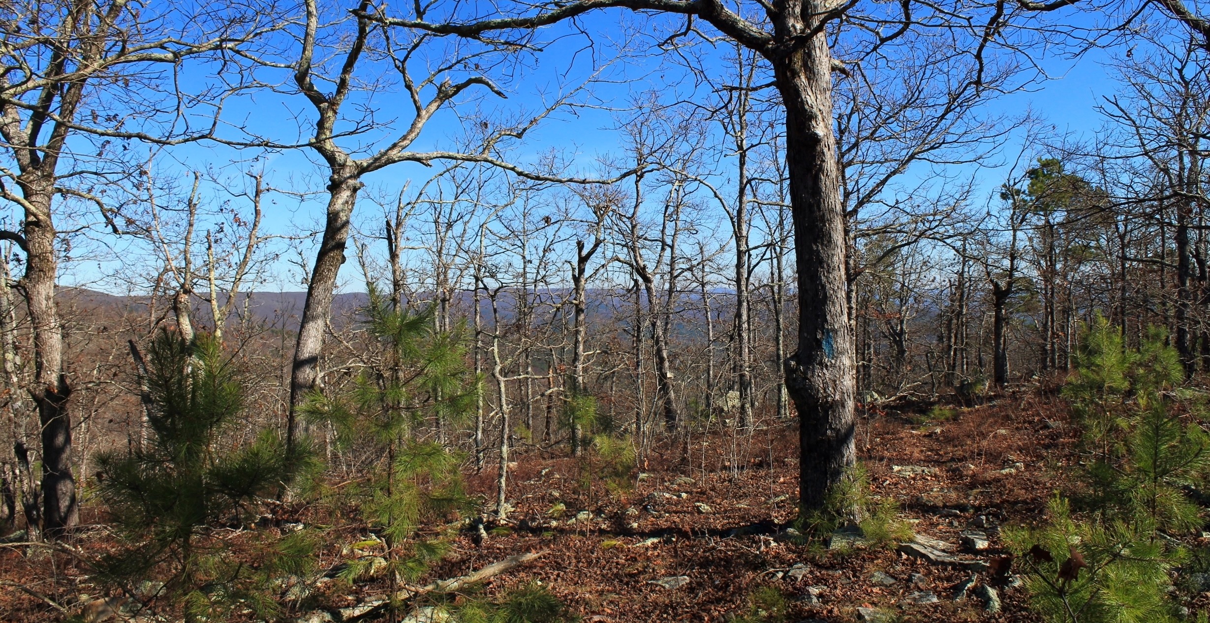
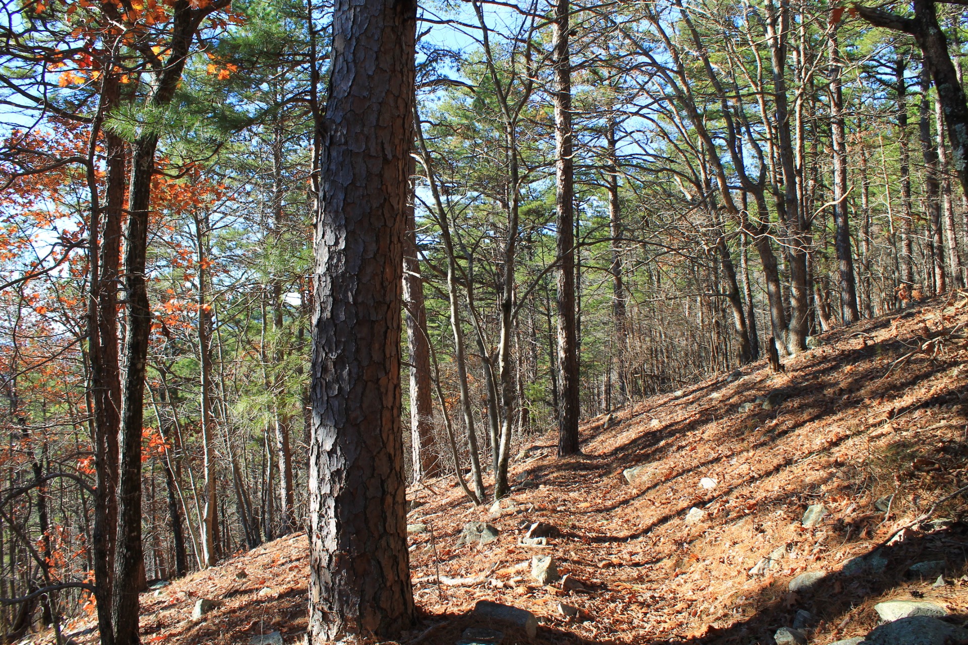
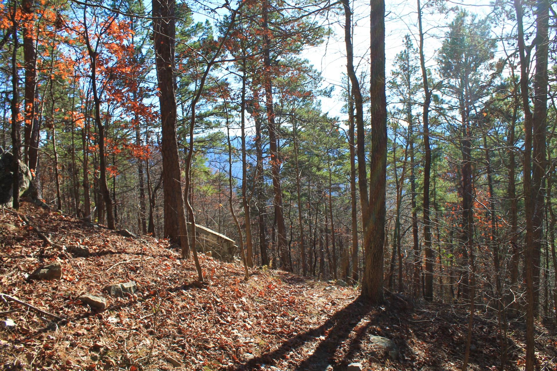

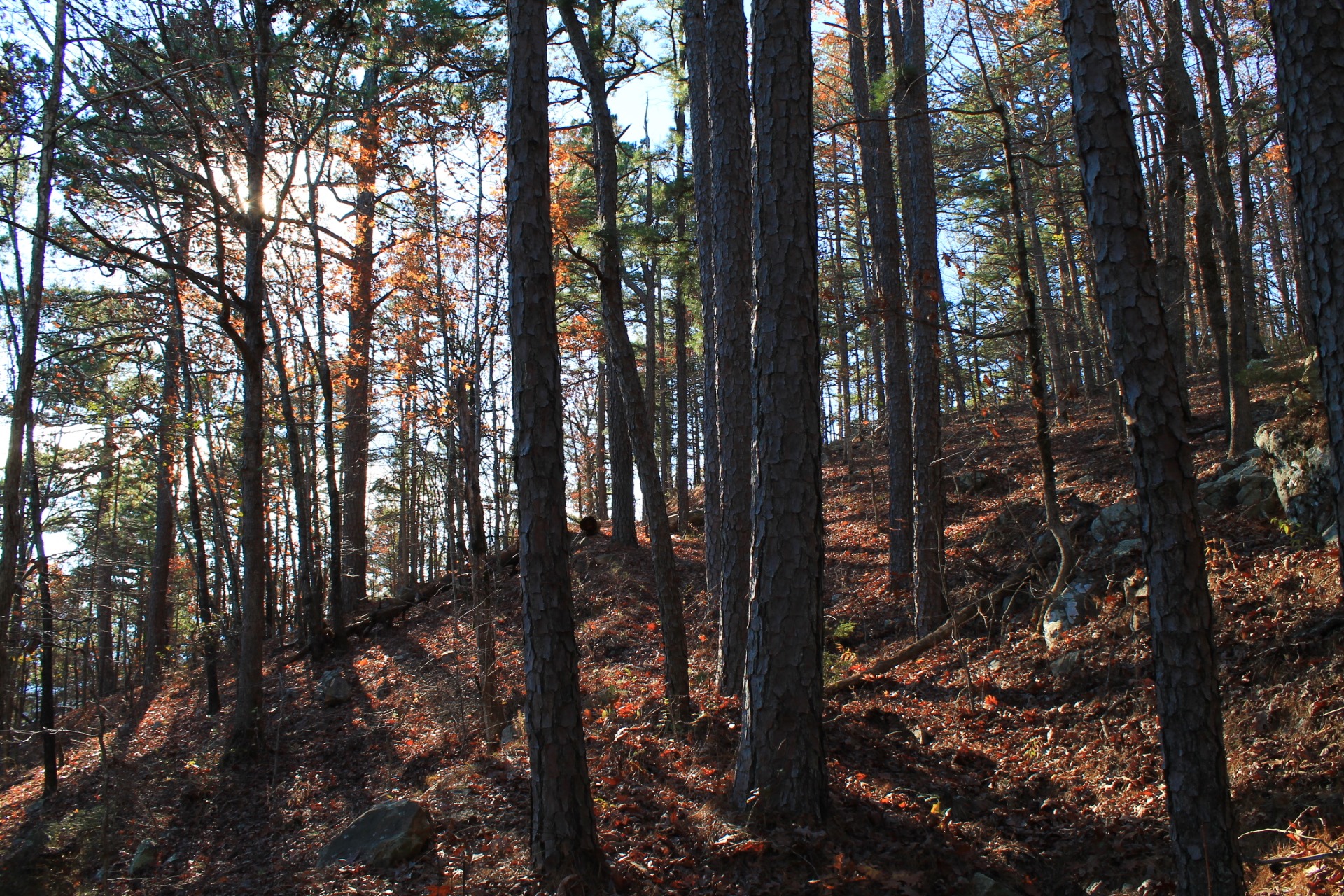
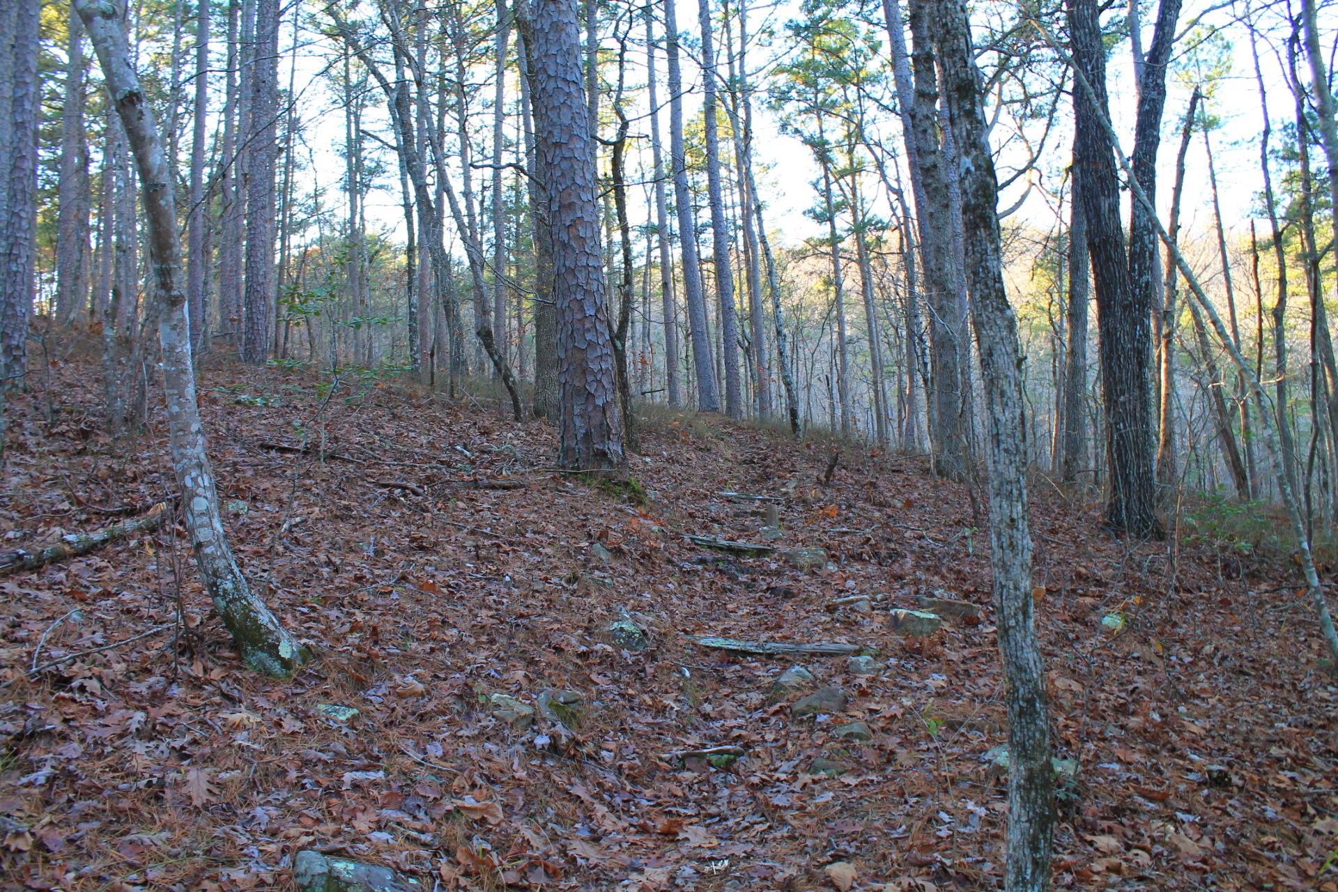
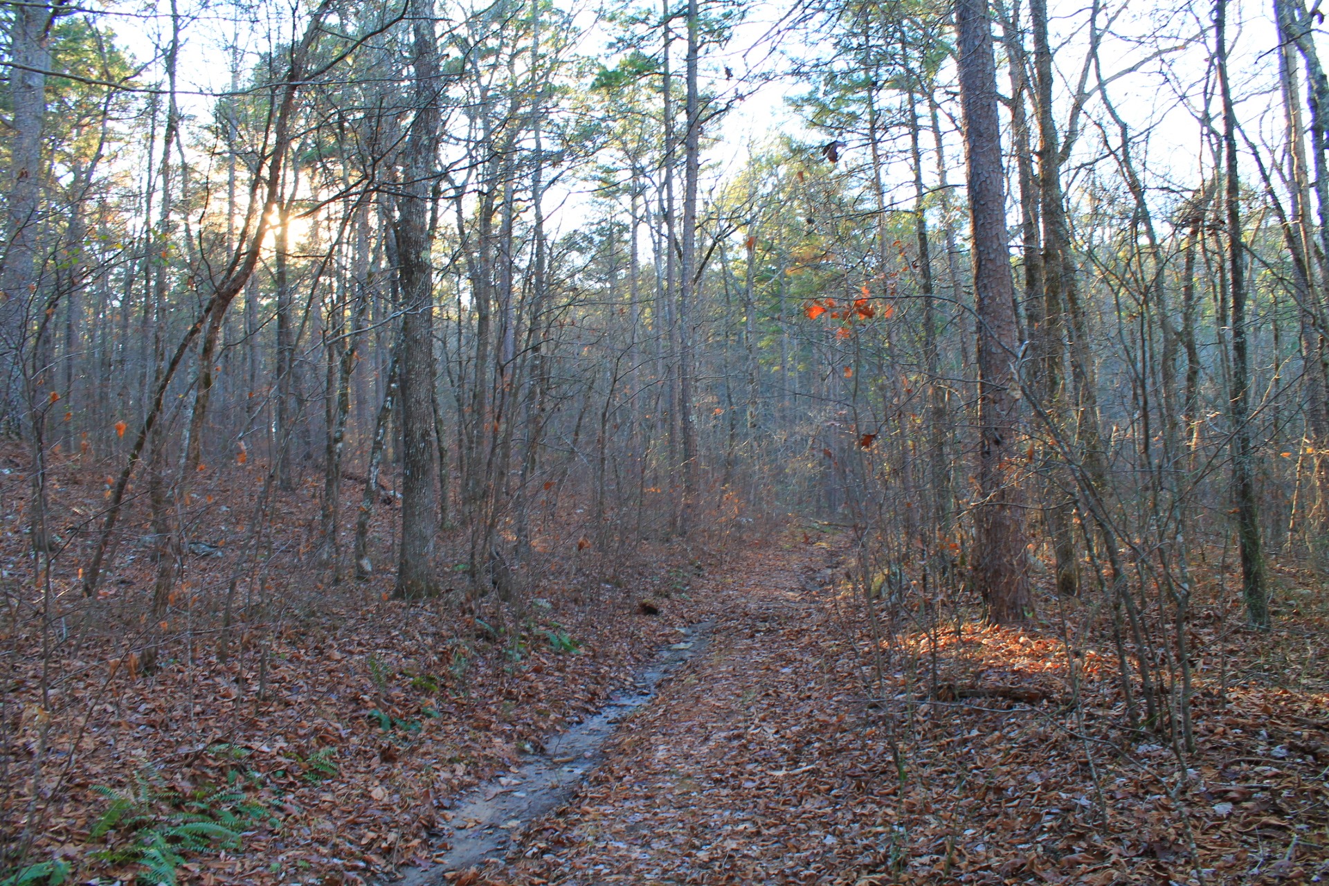
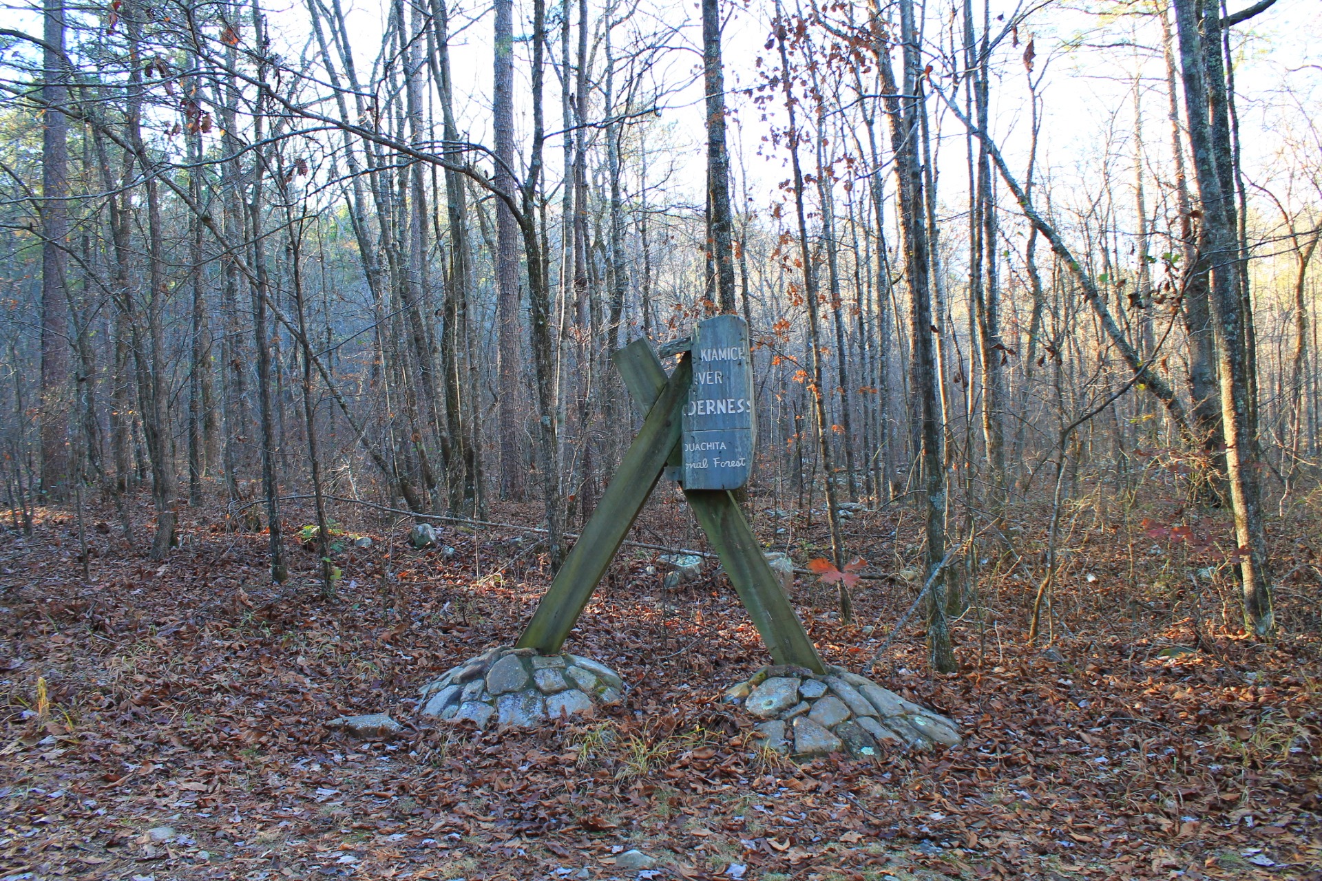
Photo Gallery
Click below for full-screen photo gallery of these and more pics from my December 5, 2015 hike.

Sign at the Pashubbe Trailhead, Ouachita National Forest
Pashubbe TH to Wilton Mountain to Kiamichi River TH (FR 6031)
Pashubbe TH to Wilton Mountain to Kiamichi River TH (FR 6031)
Pashubbe TH to Wilton Mountain to Kiamichi River TH (FR 6031)
Pashubbe TH to Wilton Mountain to Kiamichi River TH (FR 6031)
Pashubbe TH to Wilton Mountain to Kiamichi River TH (FR 6031)
Pashubbe TH to Wilton Mountain to Kiamichi River TH (FR 6031)
Pashubbe TH to Wilton Mountain to Kiamichi River TH (FR 6031)
Pashubbe TH to Wilton Mountain to Kiamichi River TH (FR 6031)
Pashubbe TH to Wilton Mountain to Kiamichi River TH (FR 6031)
Pashubbe TH to Wilton Mountain to Kiamichi River TH (FR 6031)
Pashubbe TH to Wilton Mountain to Kiamichi River TH (FR 6031)
Pashubbe TH to Wilton Mountain to Kiamichi River TH (FR 6031)
Pashubbe TH to Wilton Mountain to Kiamichi River TH (FR 6031)
Pashubbe TH to Wilton Mountain to Kiamichi River TH (FR 6031)
Pashubbe TH to Wilton Mountain to Kiamichi River TH (FR 6031)

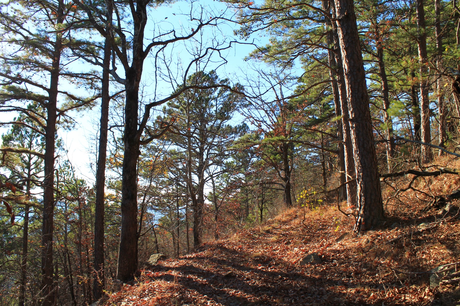
This is where the trail comes off the hill and turns right onto a dirt road.

Ouachita Trail on Wilton Mountain

This is the road trace part of the trail on the east part of this segment.

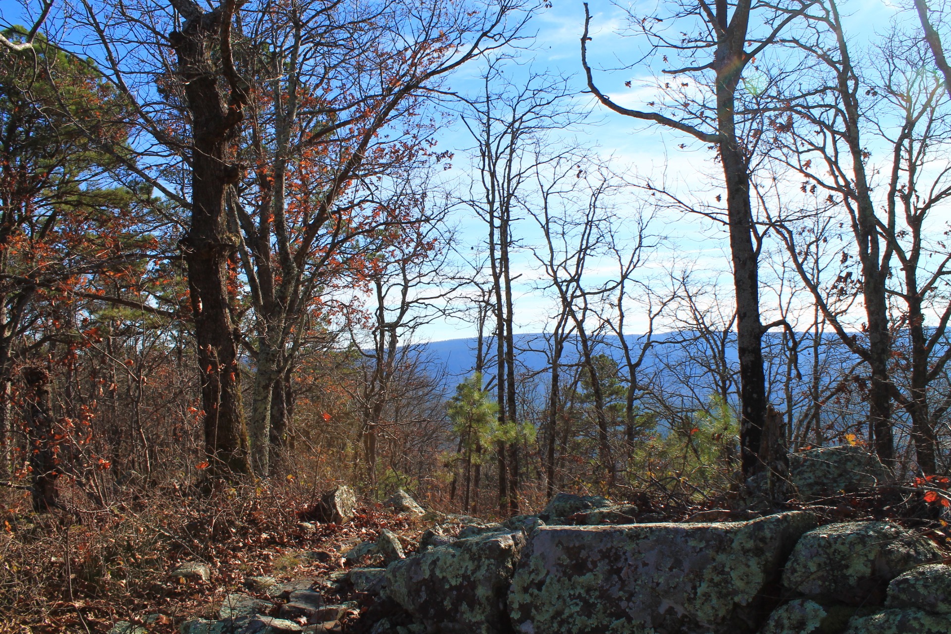
South-facing view from east side of Wilton Mountain
")
Rocky area on the east side of Wilton Mountain, Ouachita Trail (Ouachita Forest, LeFlore County, OK)

South-facing view on the east side of the trail.

This cool boulder area is at around mile point 38.0.

Unofficial hiker campsite area at the “summit” area.

Vista close to the Wilton Mountain Ouachita Trail highpoint.

panoramic Wilton Mountain vista shot from the west side

Panoramic shot of south-facing view on western part of this segment.

The trail makes a path through this pretty level thicket area at around mile point 3.8.

On the west side of Wilton Mountain

Pashubbe Creek

Where the Ouachita Trail crosses the drier part of Pashubbe Creek
Last revised: 3-14-2020.
One reply on “Ouachita Trail 02: Pics of Pashubbe TH to Kiamichi River TH (Wilton Mtn.) (34.3 – 39.2)”
Mike,
Another wonderful set of OT photos! Thank you.
Marty