Ouachita Trail: 30.5-34.3 – Hwy 259 (Big Cedar Trailhead) to Pashubbe Trailhead (Section 2)

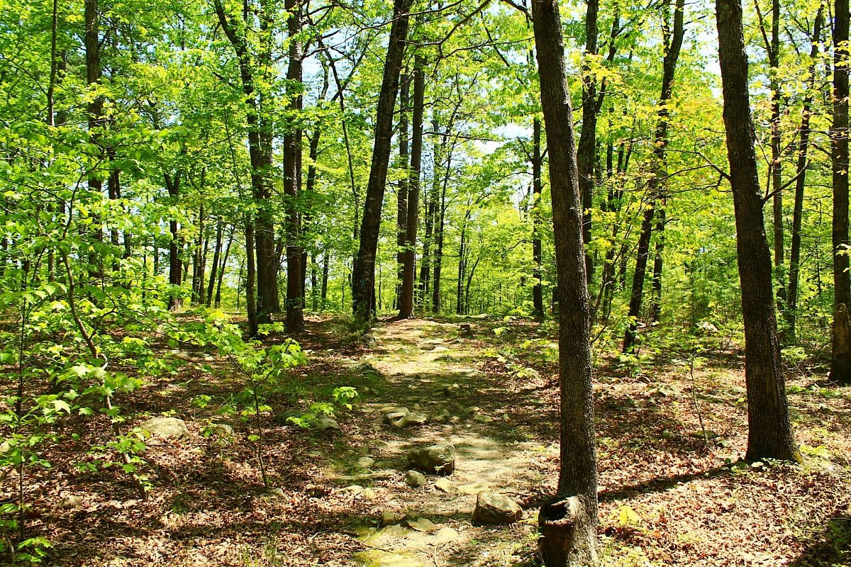
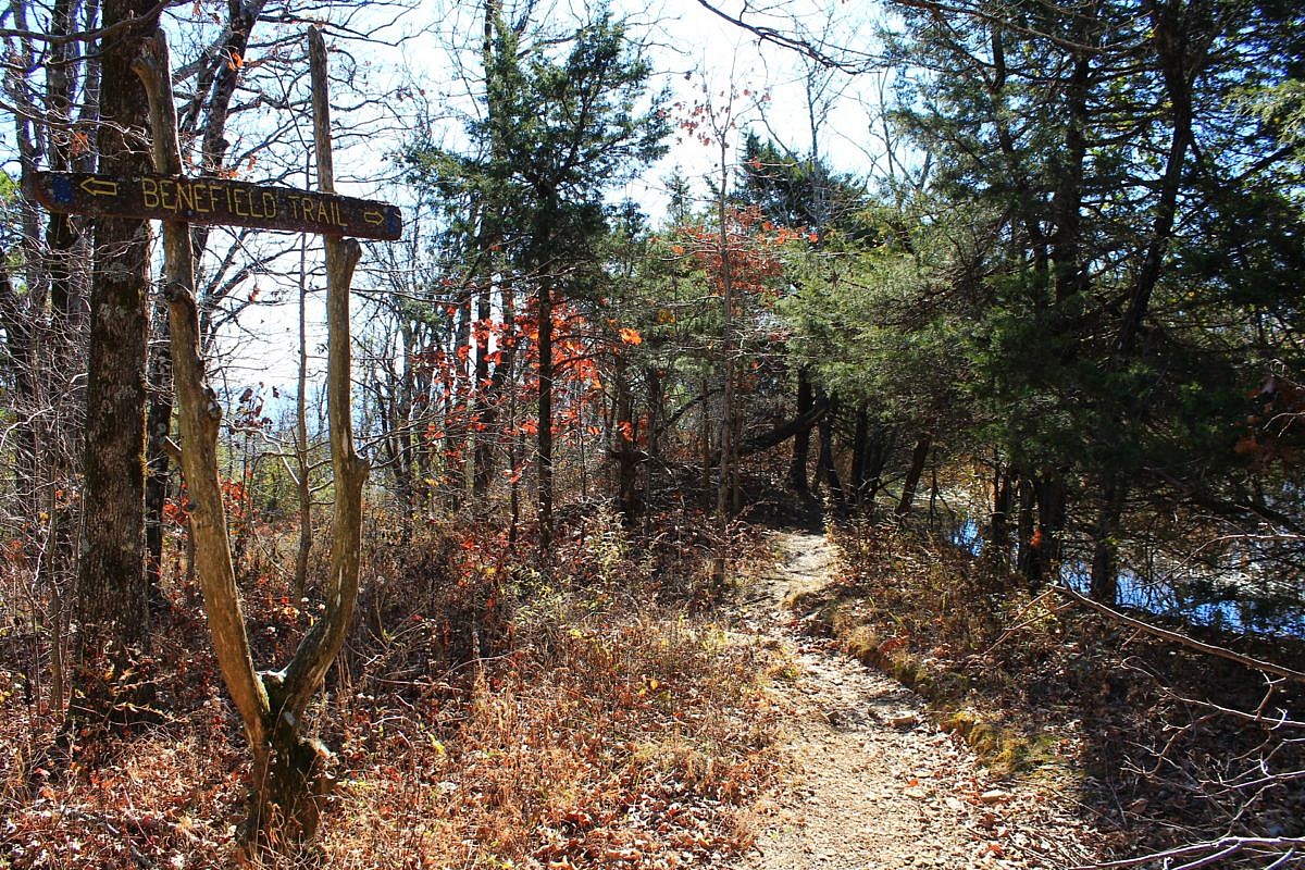
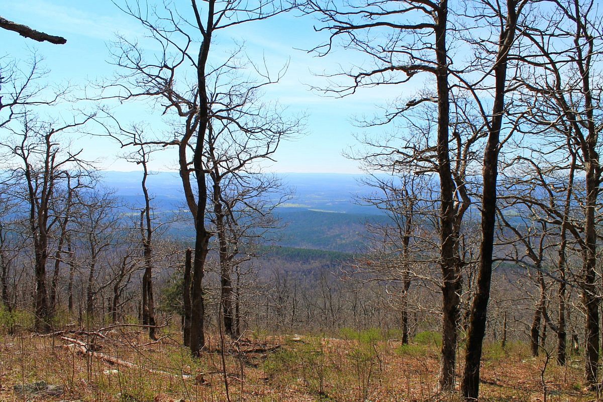
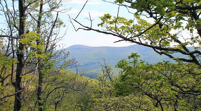
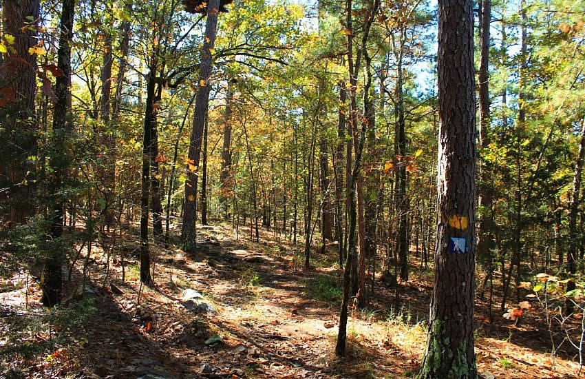
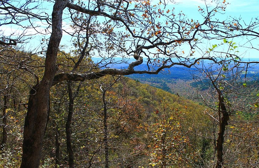
This 3.8-mile stretch on Section 2 of the Ouachita Trail from Big Cedar Trailhead (on Highway 259, LeFlore County, OK, Ouachita National Forest) to the Pashubbe Trailhead is an accessible and moderately challenging hike. It makes about an 8-mile out-and-back day hike with a couple of seasonal stream crossings and a few ponds.

Mount Magazine: Benefield West Loop Trail – 1 mi

The Benefield West Loop Trail at Mount Magazine State Park is a pleasant and easy .9-mile wooded loop with little elevation change. There is a pond on the west end of the loop.

Ouachita Trail: 47.8-51.6 – FR 514 to Queen Wilhelmina (Pioneer Cemetery) (Section 2)

This is an enjoyable 3.8-mile east-west stretch of the Ouachita Trail in Polk County (near Mena) with Forest Road 514 (Polk County Road 100) on the west end and the Queen Wilhelmina State Park (QWSP) Lodge on the east end. It is easily accessible for an enjoyable 7 or 8 mile out-and-back day hike.

Ouachita Trail 03: Pics of MM63 to Foran Gap (63.0 to 68.1)

Back in the spring of 2016, I did a 10 mile hike on Section 3 (Polk County) of the Ouachita Trail starting at the Foran Gap Trailhead then going west on western Fourche Mountain to MM 63 and back. My full profile of that stretch of the Ouachita Trail is here. These are some additional […]

Robbers Cave: Cattail Pond/Rough Canyon Loop Fall Pics

The 3.9-mile Cattail Pond/Rough Canyon Trail Loop at Robbers Cave State Park (near Wilburton, Latimer County) is a very scenic and enjoyable hike. It takes you through beautiful forested areas of the San Bois Mountains and by picturesque streams during the wet season.

Ouachita Trail 03: Queen Wilhelmina to Hwy 88 (51.6 to 54.1) Pics

Previously, I profiled this scenic and accessible stretch of Section 3 of the Ouachita Trail on Rich Mountain (Polk County, near Mena). It goes approximately from mile 51.6 to 54.1. There are some great south-facing views on this stretch.