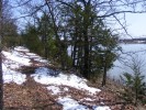
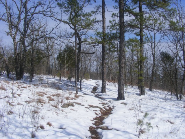
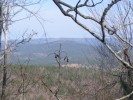
Ouachita Trail: 96.0-101.0 – FR 33 to FR 274(W) (Blowout Mtn) (Section 5)

Today, my friend David and I hiked what I have labeled segments 05-C and 05-D of the Ouachita Trail. This is a 5-mile segment of the trail that starts just a few miles east of Big Brushy Campground and extends across Blowout Mountain and the Blowout Mountain Scenic Area. It begins at Forest Road 33 […]

Ozark Forest Recreation Map

This is a helpful USFS overview map of the Ozark National Forest. It has icons indicating all the USFS recreation sites as well as National Wilderness Areas, National Scenic Areas, and district ranger offices. The version on the USFS website (here) has many clickable links. Or you can download the map as a pdf here.

Ouachita Forest Recreation Map

This pdf is a helpful USFS overview map of the Ouachita National Forest. It has icons indicating all the USFS recreation sites in the Forest as well as National Wilderness Areas, National Scenic Areas, and district ranger offices. You can download the map here or via USFS here.