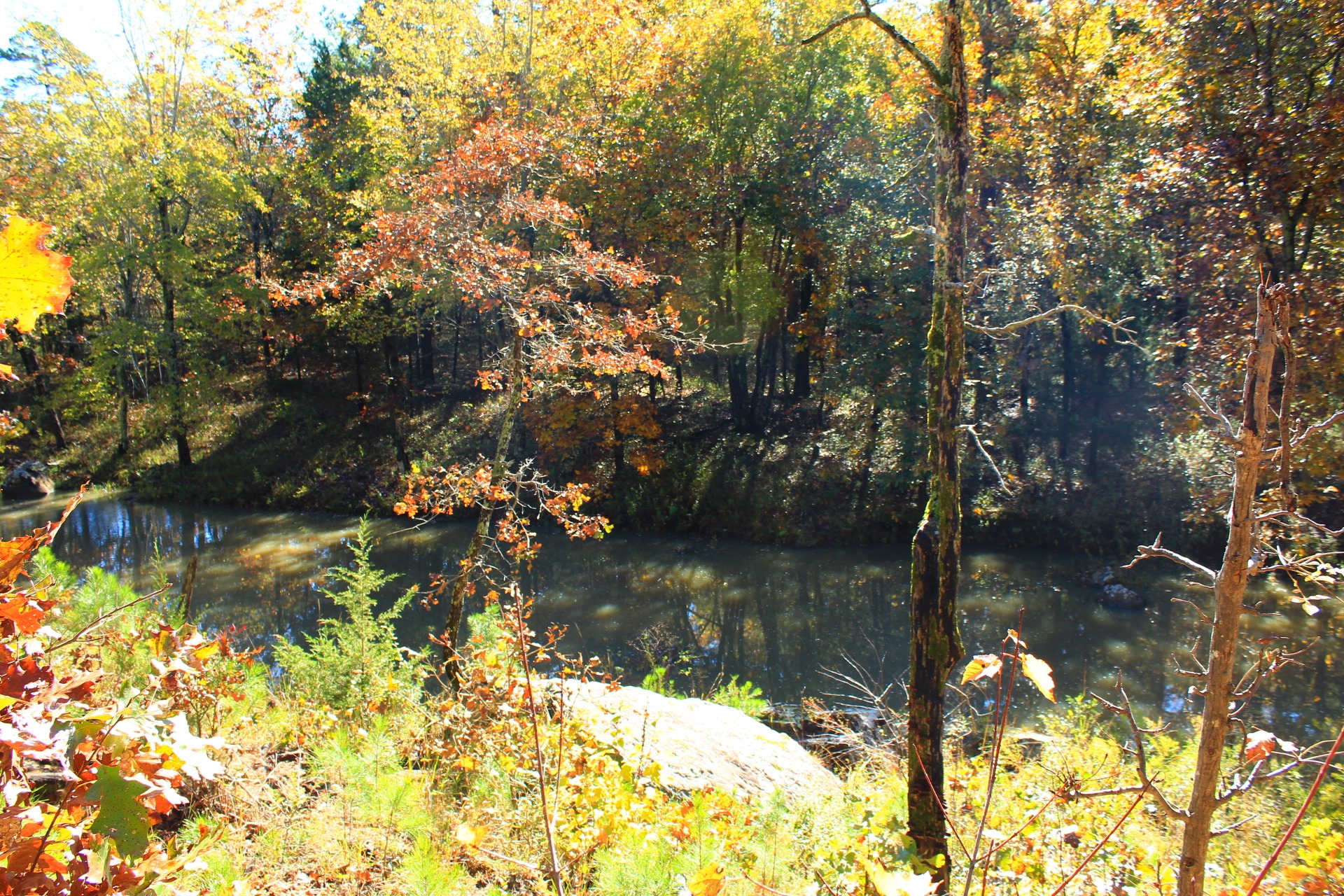
The 3.9-mile Cattail Pond/Rough Canyon Trail Loop at Robbers Cave State Park (near Wilburton, Latimer County) is a very scenic and enjoyable hike. It takes you through beautiful forested areas of the San Bois Mountains and by picturesque streams during the wet season.
My full profile of this hike is at this link. These are some additional pics from my October 30, 2020 hike. We enjoyed some very nice fall foliage that day.
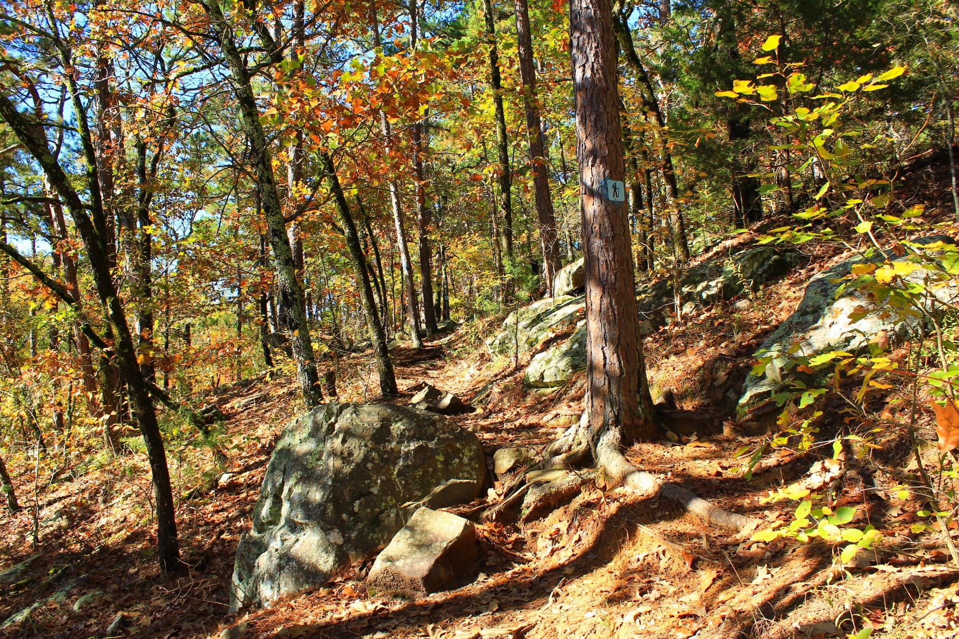
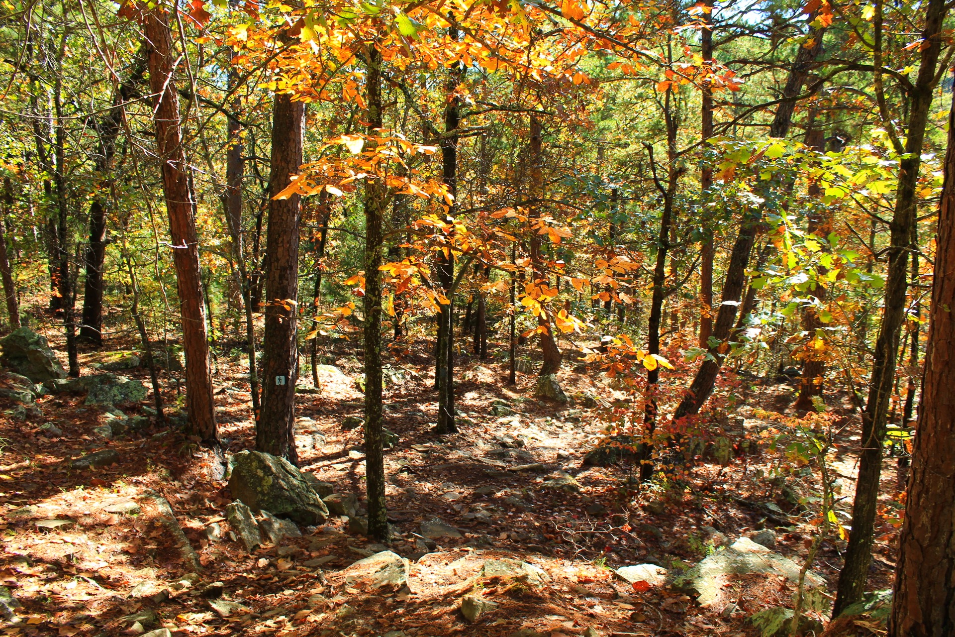
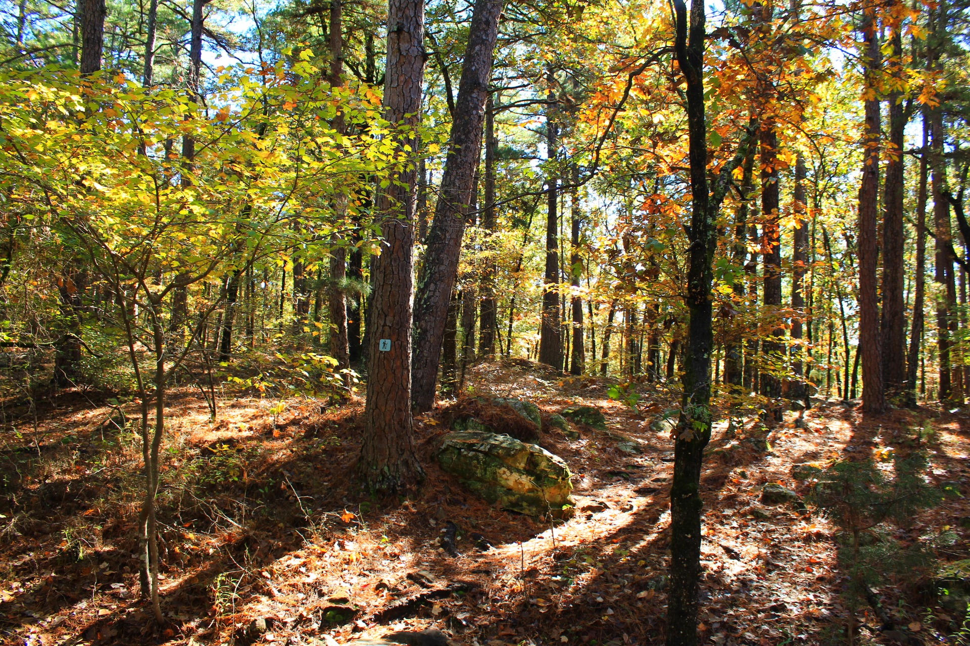
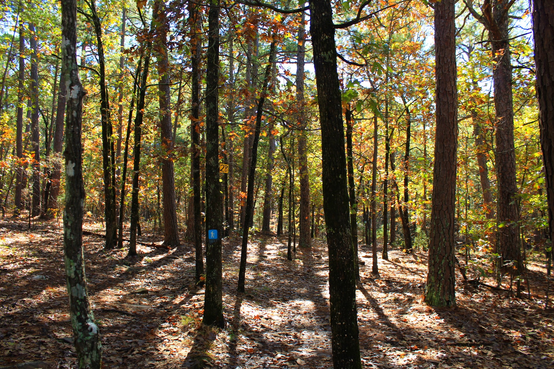
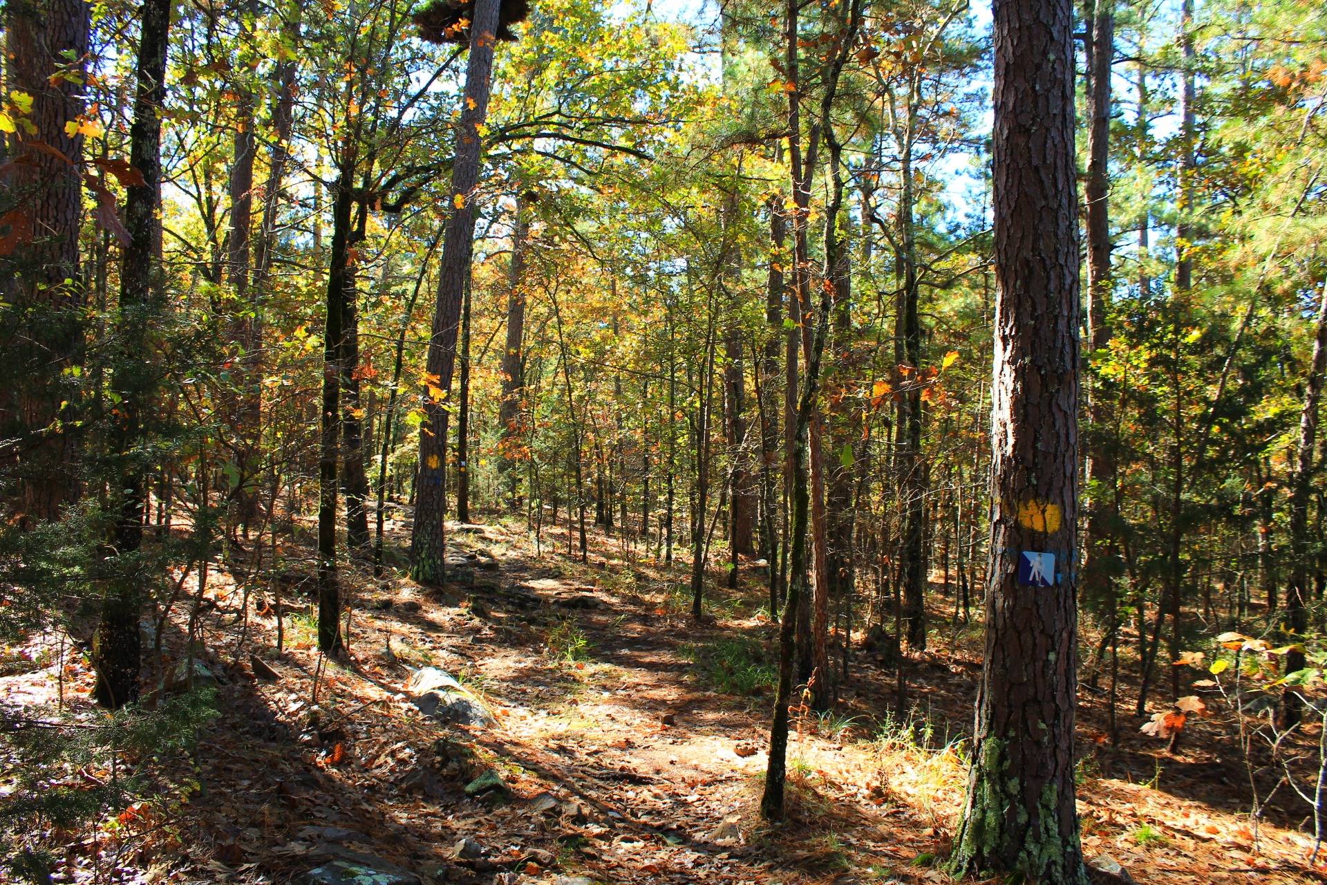
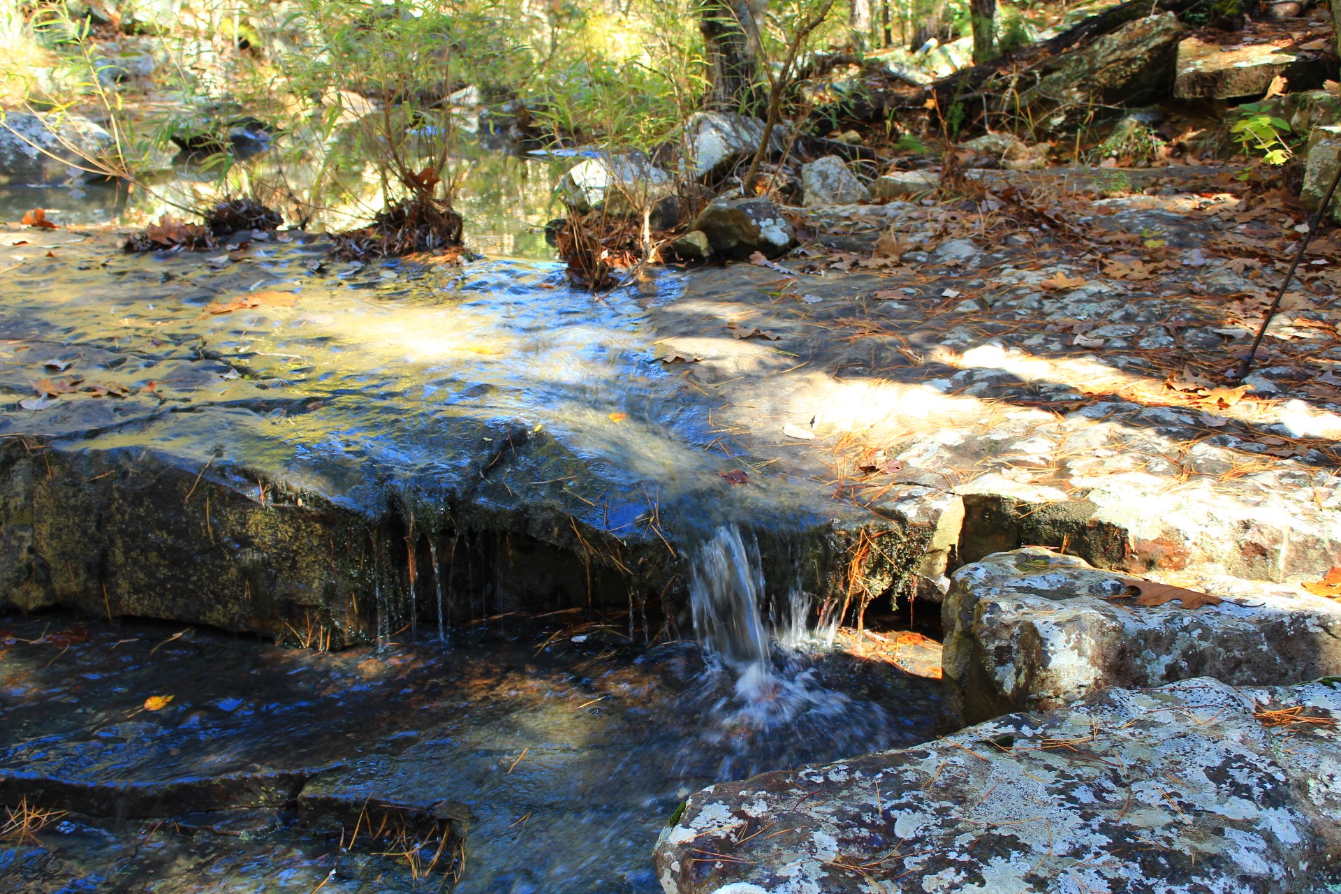
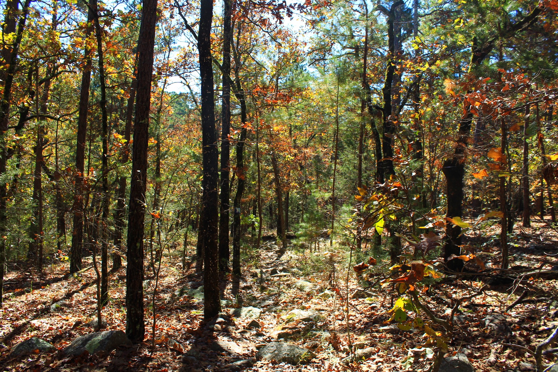
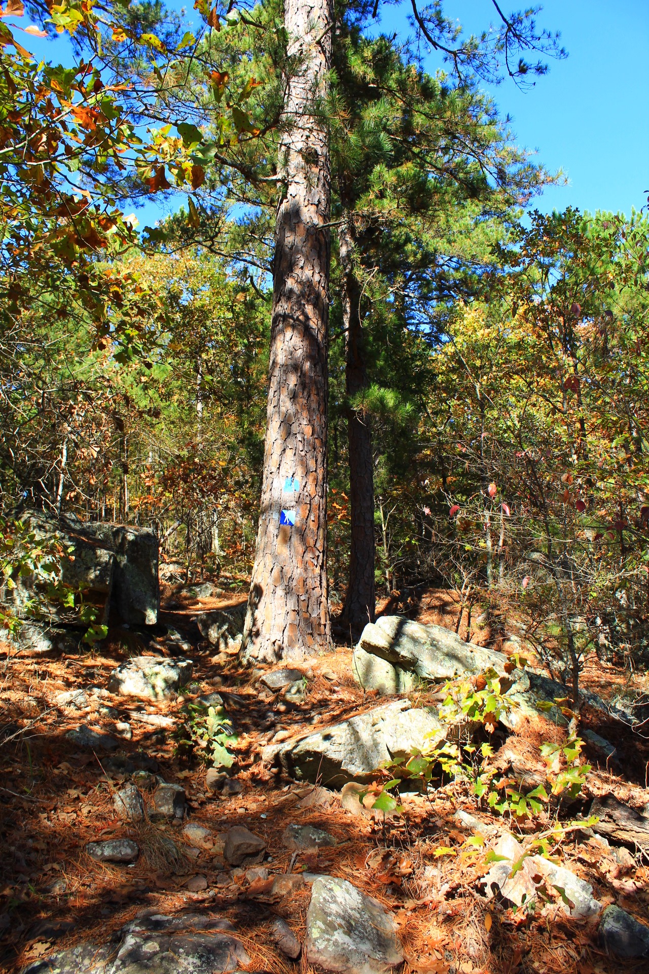
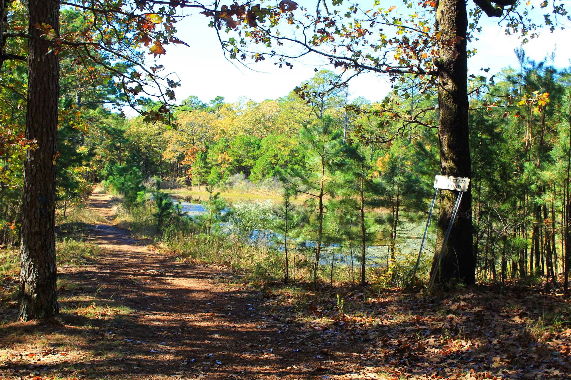
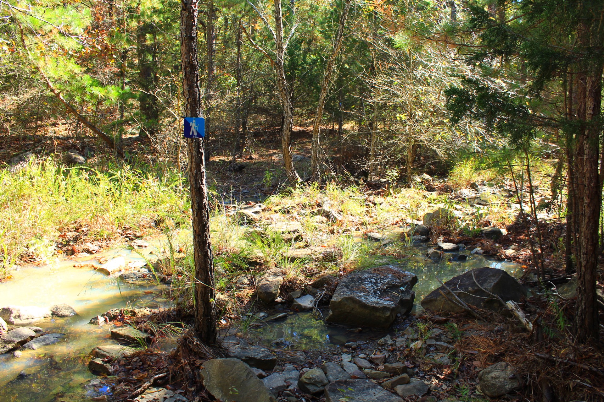
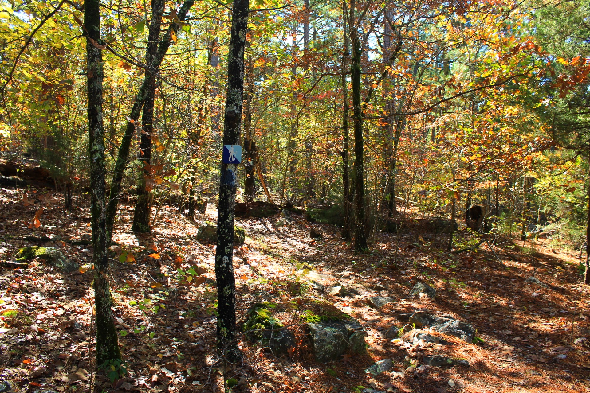
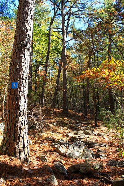
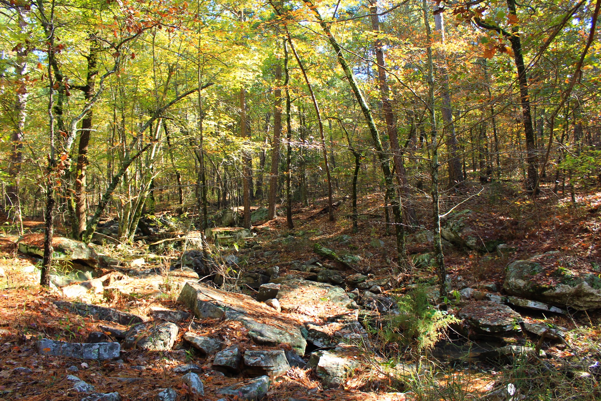
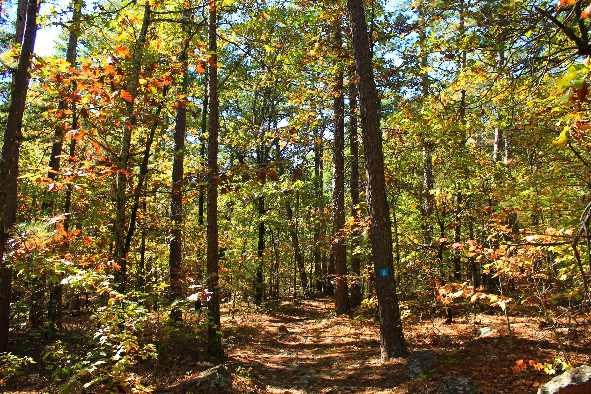
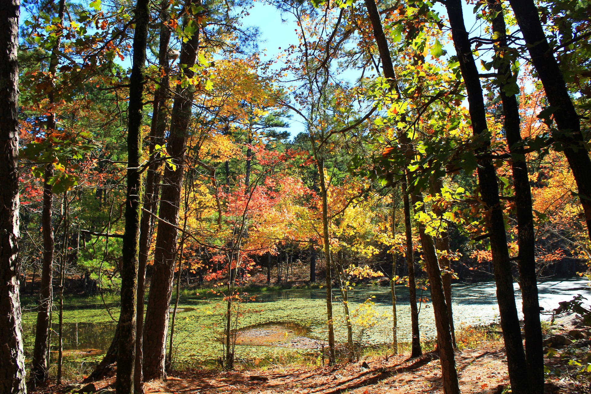
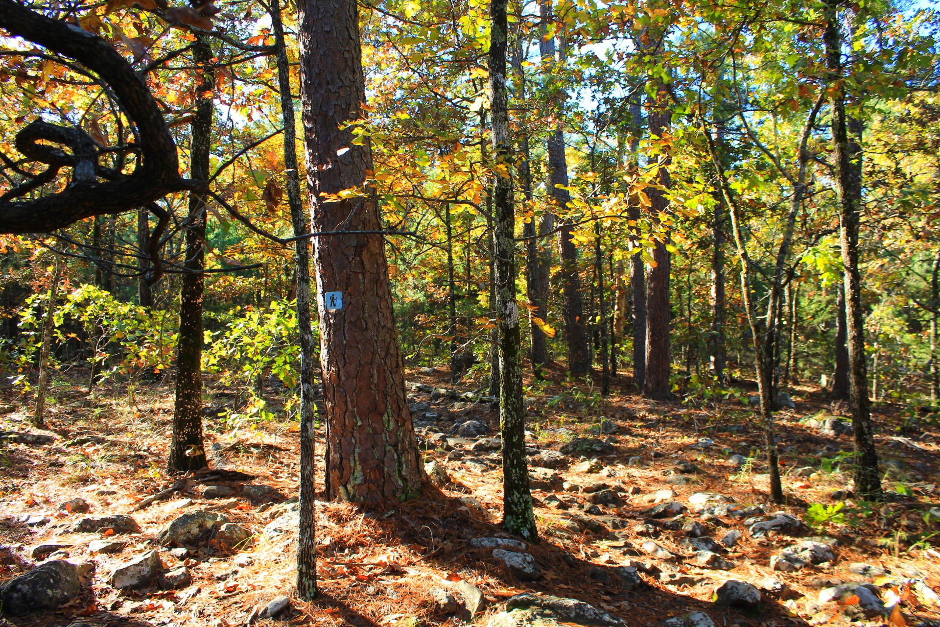
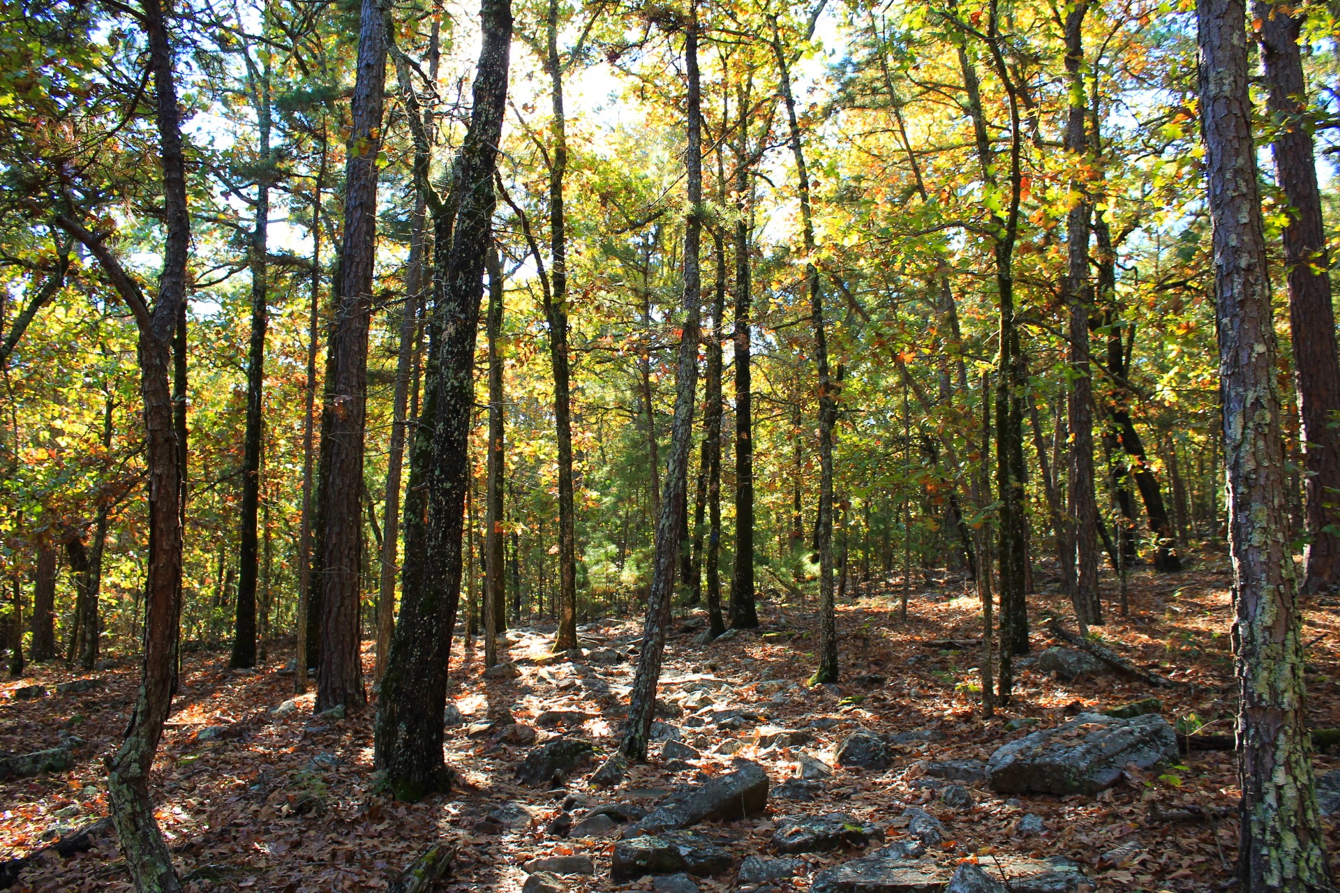
Photo Gallery
Click below for full-screen photo gallery of these and more pics I took on my October 30, 2020 hike.
Cattail Pond/Rough Canyon Trail Loop, Robbers Cave State Park.
2020-10-30 robbers-cave 319
Cattail Pond/Rough Canyon Trail Loop, Robbers Cave State Park.
2020-10-30 robbers-cave 294
Cattail Pond/Rough Canyon Trail Loop, Robbers Cave State Park.
2020-10-30 robbers-cave 275
Cattail Pond/Rough Canyon Trail Loop, Robbers Cave State Park.
2020-10-30 robbers-cave 266

Cattail Pond/Rough Canyon Trail Loop, Robbers Cave State Park.
2020-10-30 robbers-cave 261
Cattail Pond/Rough Canyon Trail Loop, Robbers Cave State Park.
2020-10-30 robbers-cave 255
Cattail Pond/Rough Canyon Trail Loop, Robbers Cave State Park.
2020-10-30 robbers-cave 228
Cattail Pond/Rough Canyon Trail Loop, Robbers Cave State Park.
2020-10-30 robbers-cave 221
Cattail Pond/Rough Canyon Trail Loop, Robbers Cave State Park.
2020-10-30 robbers-cave 187
Cattail Pond/Rough Canyon Trail Loop, Robbers Cave State Park.
2020-10-30 robbers-cave 171
Cattail Pond/Rough Canyon Trail Loop, Robbers Cave State Park.
2020-10-30 robbers-cave 154
Cattail Pond/Rough Canyon Trail Loop, Robbers Cave State Park.
2020-10-30 robbers-cave 125
Cattail Pond/Rough Canyon Trail Loop, Robbers Cave State Park.
2020-10-30 robbers-cave 117
Cattail Pond/Rough Canyon Trail Loop, Robbers Cave State Park.
2020-10-30 robbers-cave 085
Cattail Pond/Rough Canyon Trail Loop, Robbers Cave State Park.
2020-10-30 robbers-cave 076
Cattail Pond/Rough Canyon Trail Loop, Robbers Cave State Park.
2020-10-30 robbers-cave 039
Cattail Pond/Rough Canyon Trail Loop, Robbers Cave State Park.
2020-10-30 robbers-cave 027

Cattail Pond/Rough Canyon Trail Loop, Robbers Cave State Park.
2020-10-30 robbers-cave 366

Cattail Pond/Rough Canyon Trail Loop, Robbers Cave State Park.
2020-10-30 robbers-cave 282-283 Stitch

Cattail Pond/Rough Canyon Trail Loop, Robbers Cave State Park.
2020-10-30 robbers-cave 241

Cattail Pond/Rough Canyon Trail Loop, Robbers Cave State Park.
2020-10-30 robbers-cave 210

Cattail Pond/Rough Canyon Trail Loop, Robbers Cave State Park.
2020-10-30 robbers-cave 203

Cattail Pond/Rough Canyon Trail Loop, Robbers Cave State Park.
2020-10-30 robbers-cave 163

Cattail Pond/Rough Canyon Trail Loop, Robbers Cave State Park.
2020-10-30 robbers-cave 161

Cattail Pond/Rough Canyon Trail Loop, Robbers Cave State Park.
2020-10-30 robbers-cave 157

Cattail Pond/Rough Canyon Trail Loop, Robbers Cave State Park.
2020-10-30 robbers-cave 146

Cattail Pond/Rough Canyon Trail Loop, Robbers Cave State Park.
2020-10-30 robbers-cave 140

Cattail Pond/Rough Canyon Trail Loop, Robbers Cave State Park.
2020-10-30 robbers-cave 101

Cattail Pond/Rough Canyon Trail Loop, Robbers Cave State Park.
2020-10-30 robbers-cave 046

Cattail Pond/Rough Canyon Trail Loop, Robbers Cave State Park.
2020-10-30 robbers-cave 028

Cattail Pond/Rough Canyon Trail Loop, Robbers Cave State Park.
2020-10-30 robbers-cave 019

Cattail Pond/Rough Canyon Trail Loop, Robbers Cave State Park.
2020-10-30 robbers-cave 003