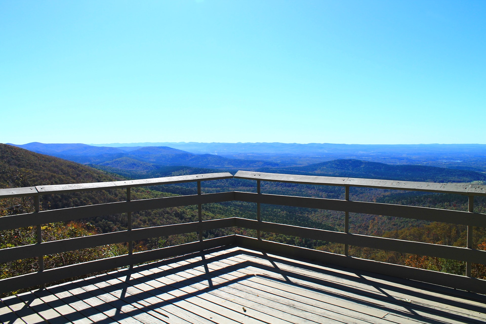
Previously, I profiled this scenic and accessible stretch of Section 3 of the Ouachita Trail on Rich Mountain (Polk County, near Mena). It goes approximately from mile 51.6 to 54.1.
There are some great south-facing views on this stretch.
But be prepared for possible overgrowth, once you are out of the Queen Wilhelmina State Park boundary.
These are some additional photos from that October 23, 2017 autumn hike.
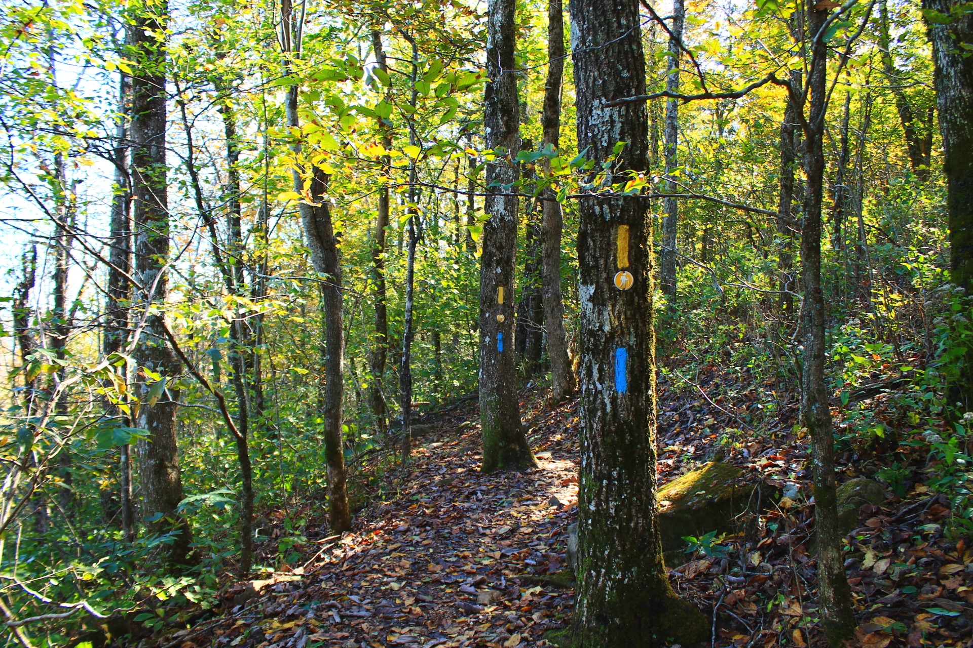
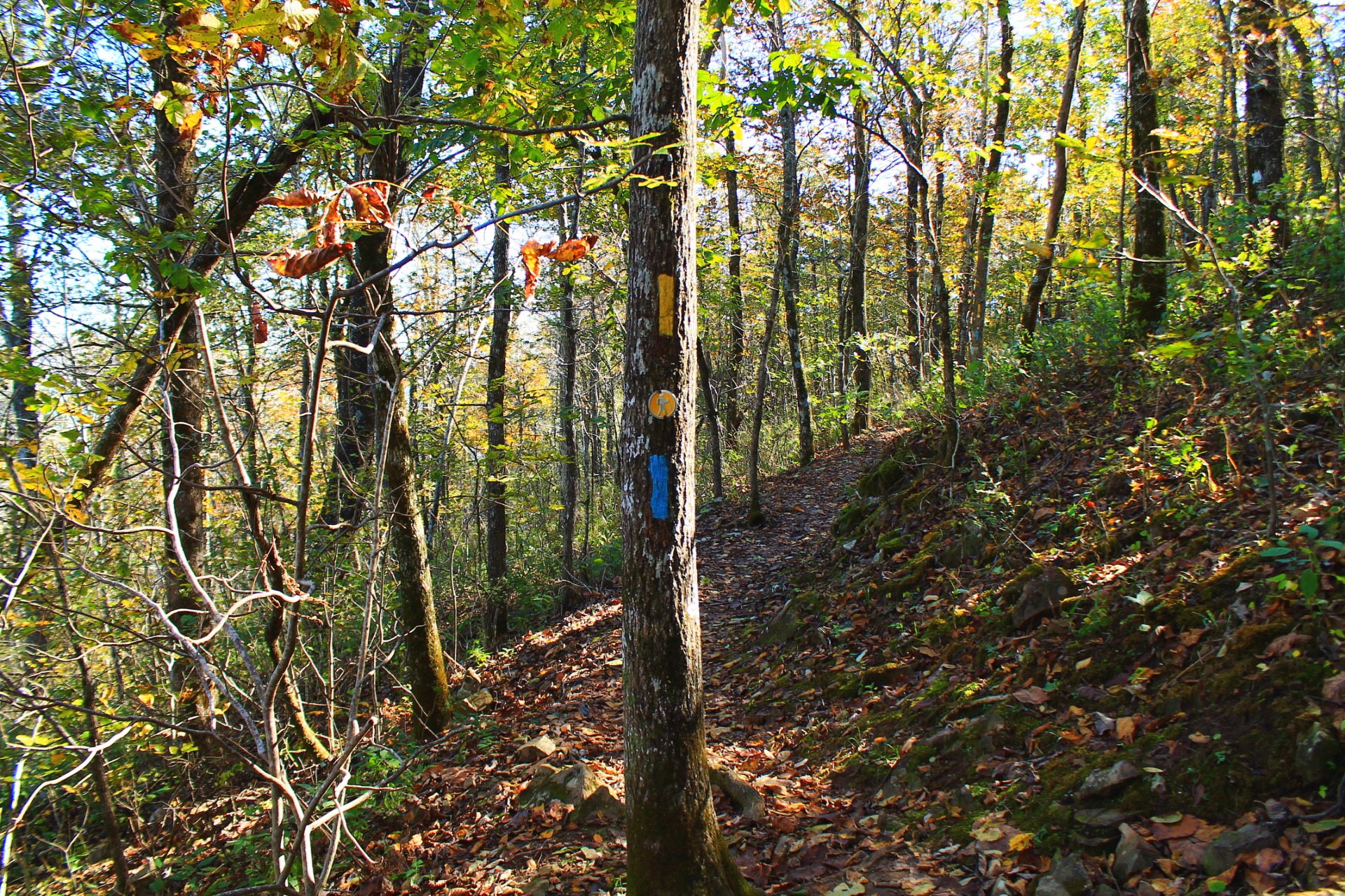
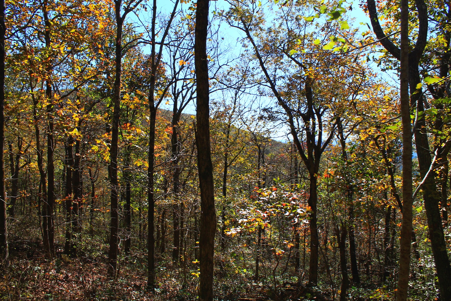
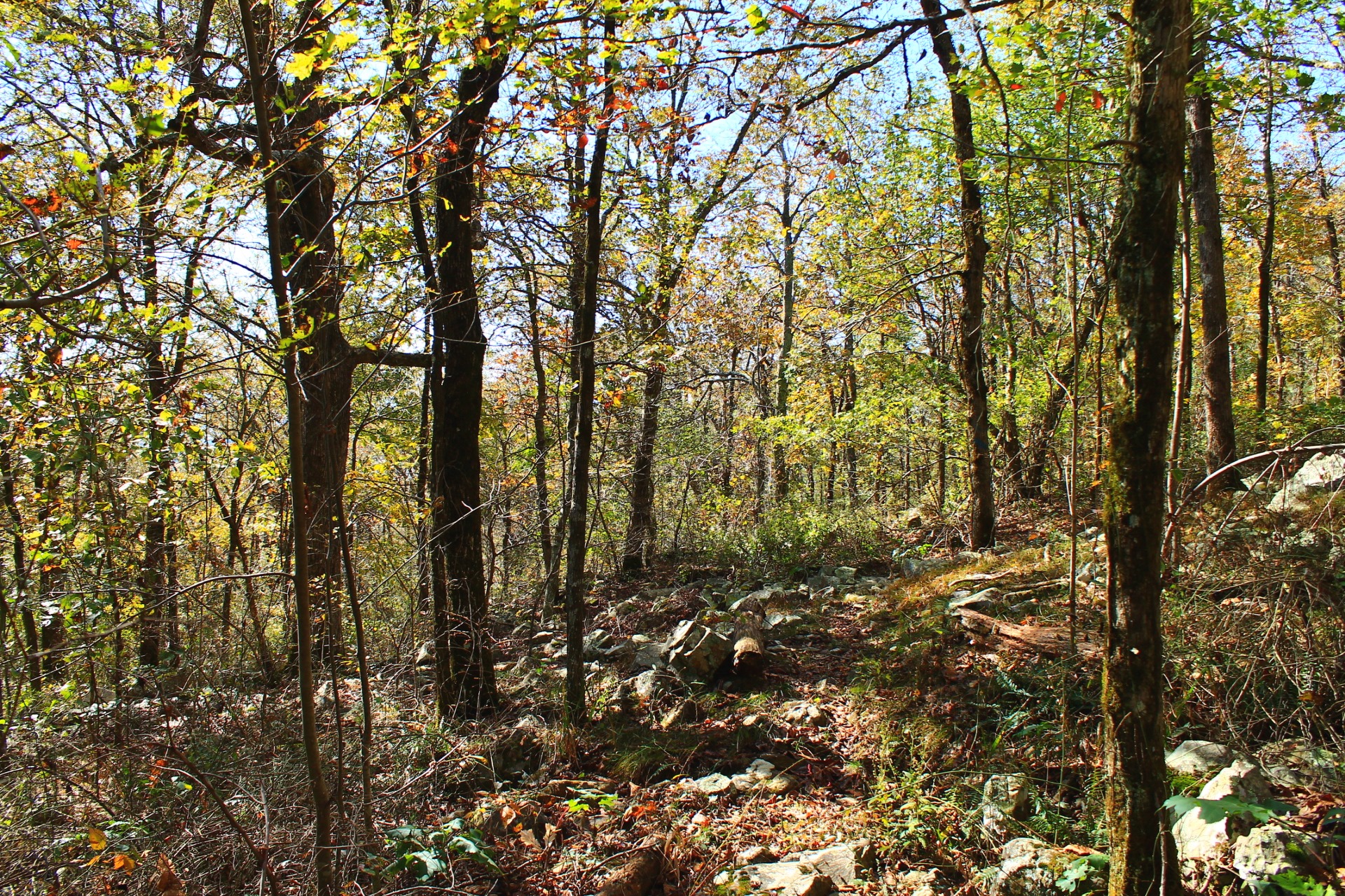
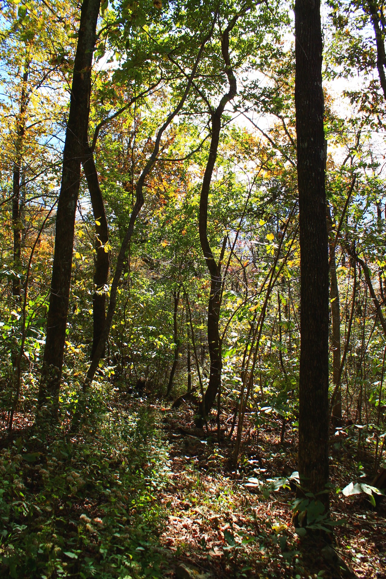
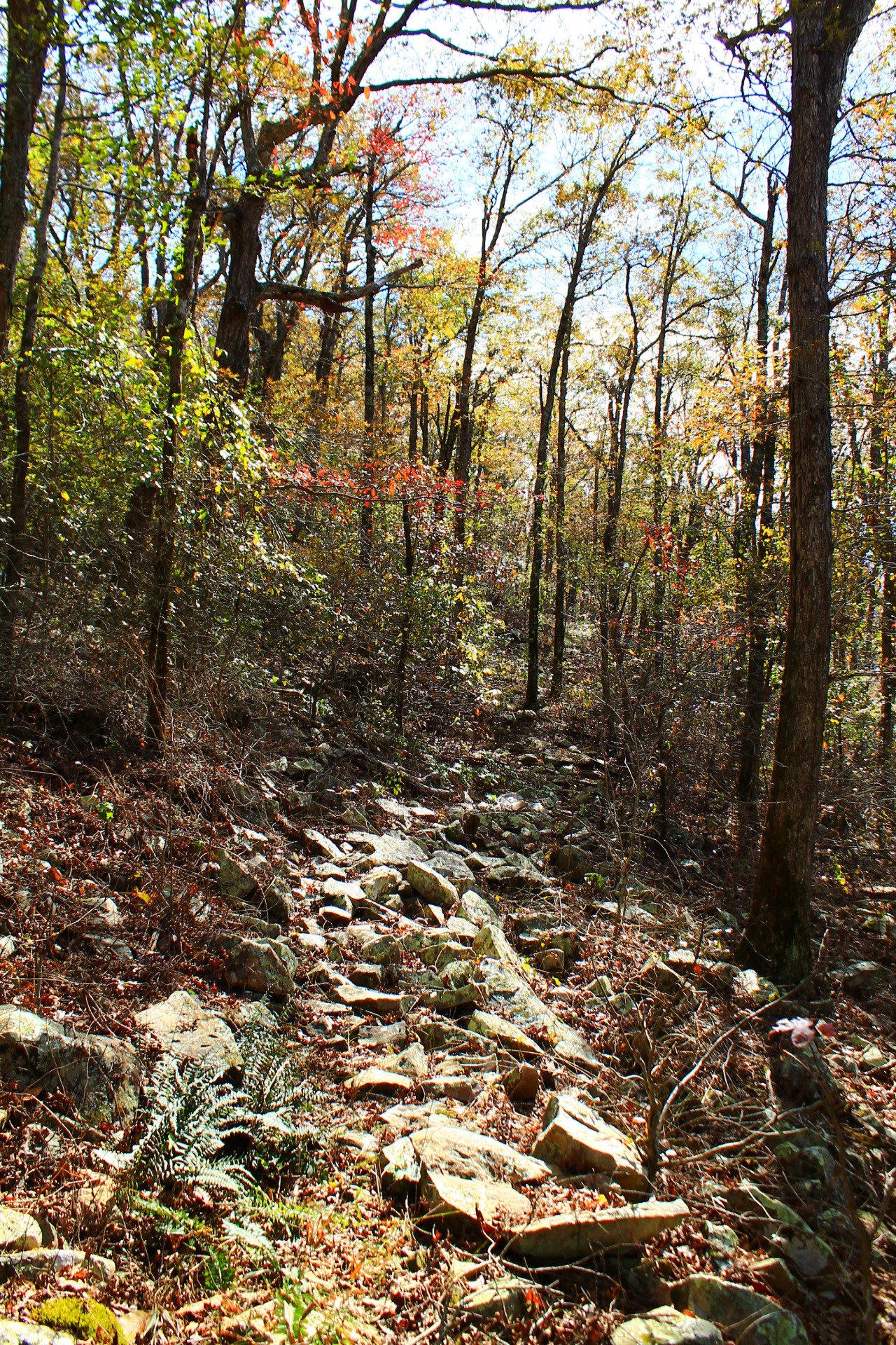
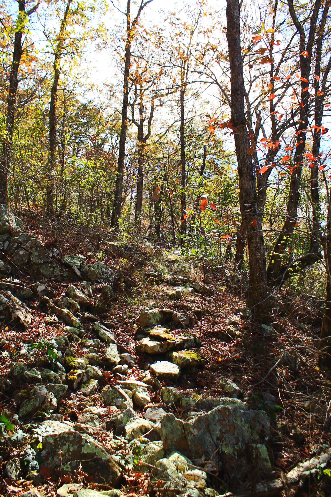
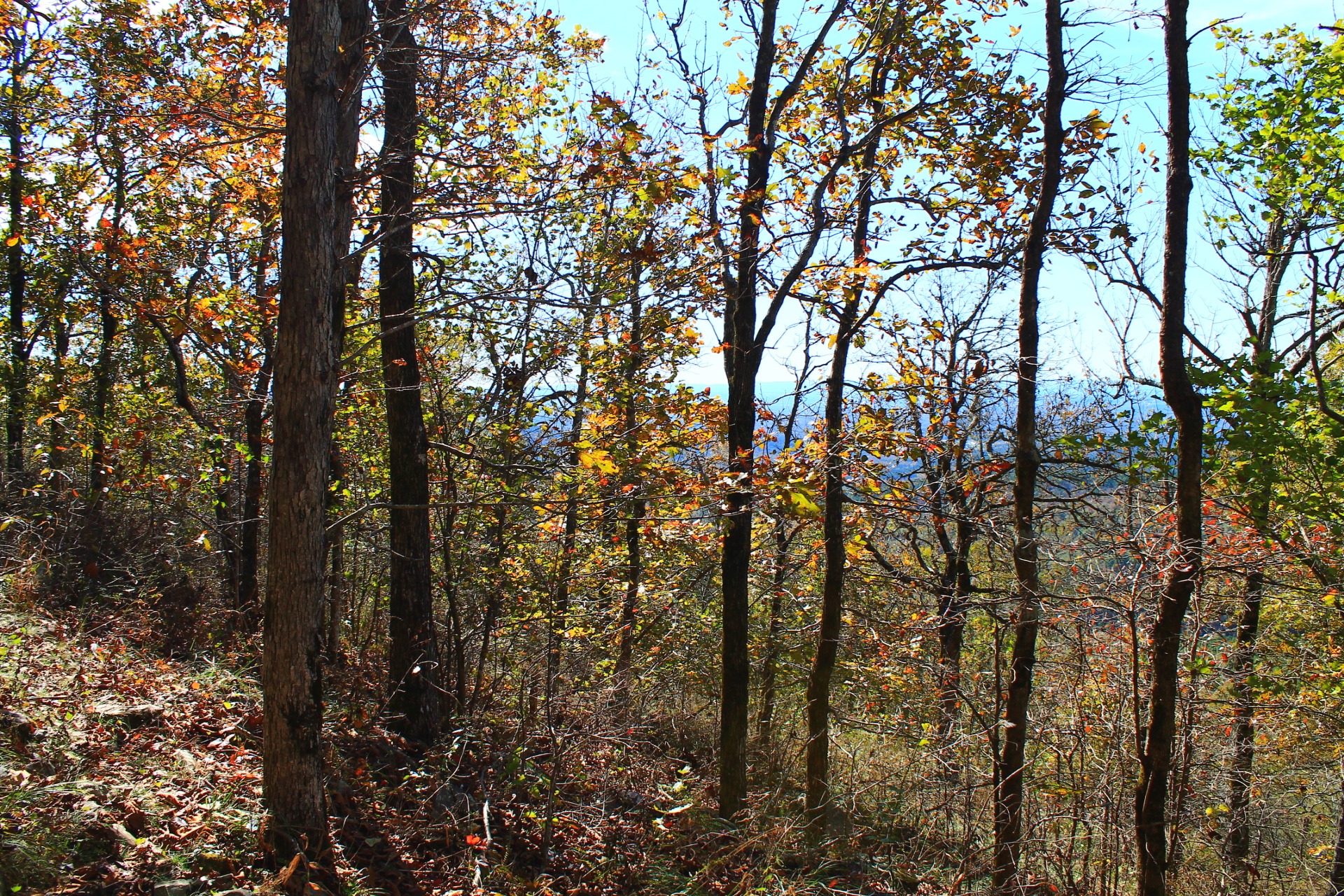
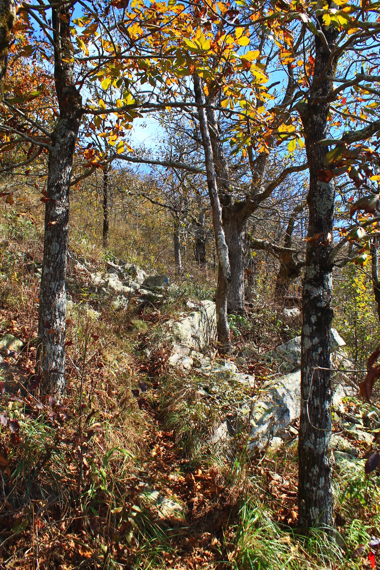
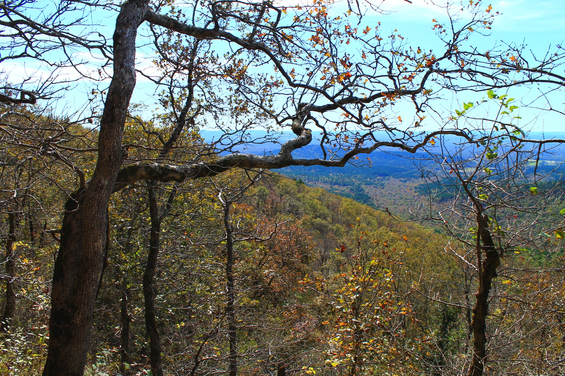
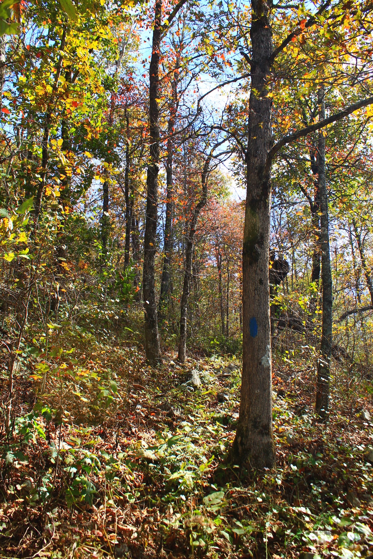
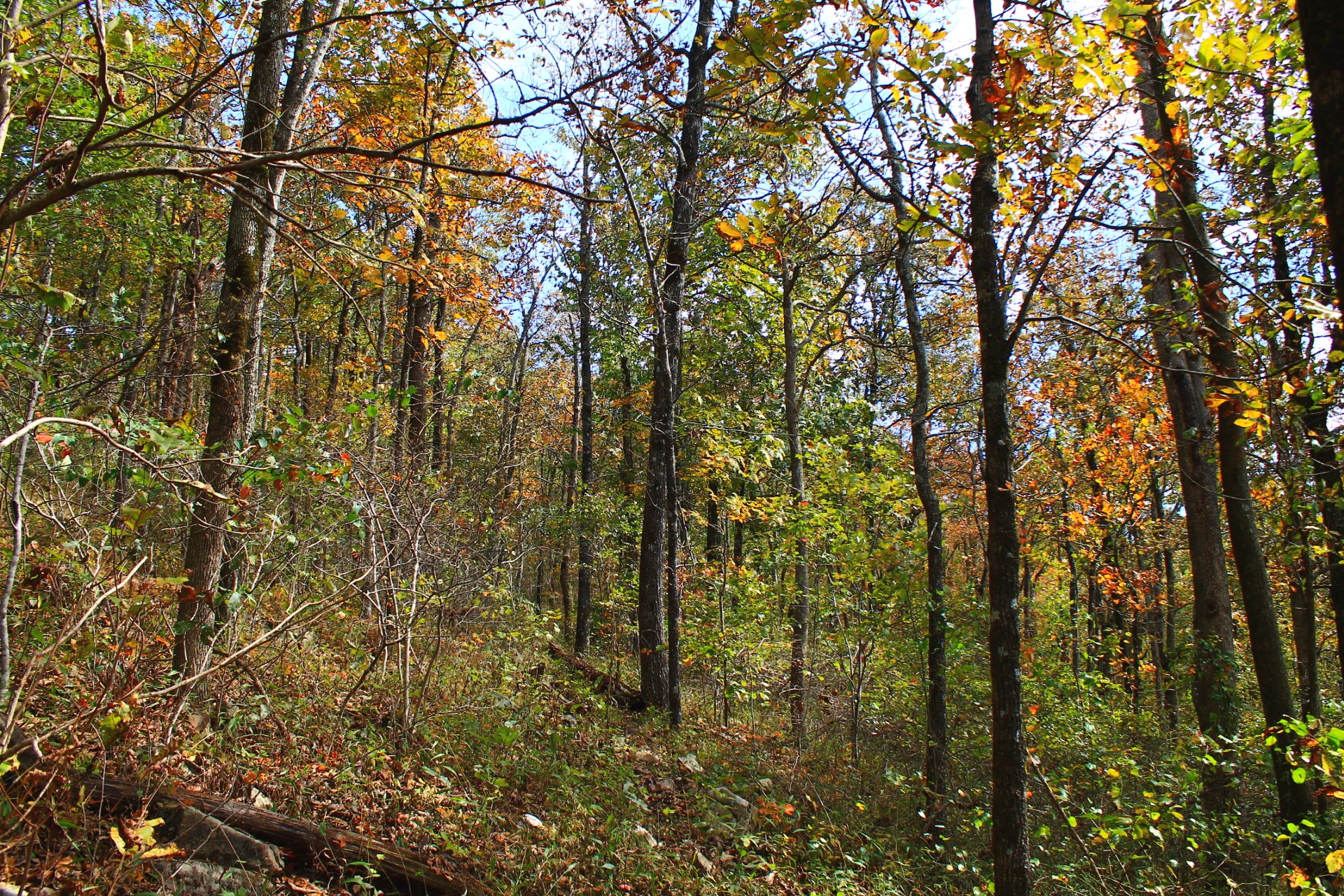
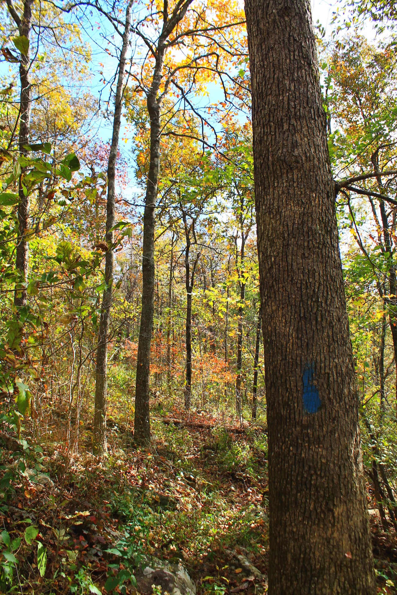
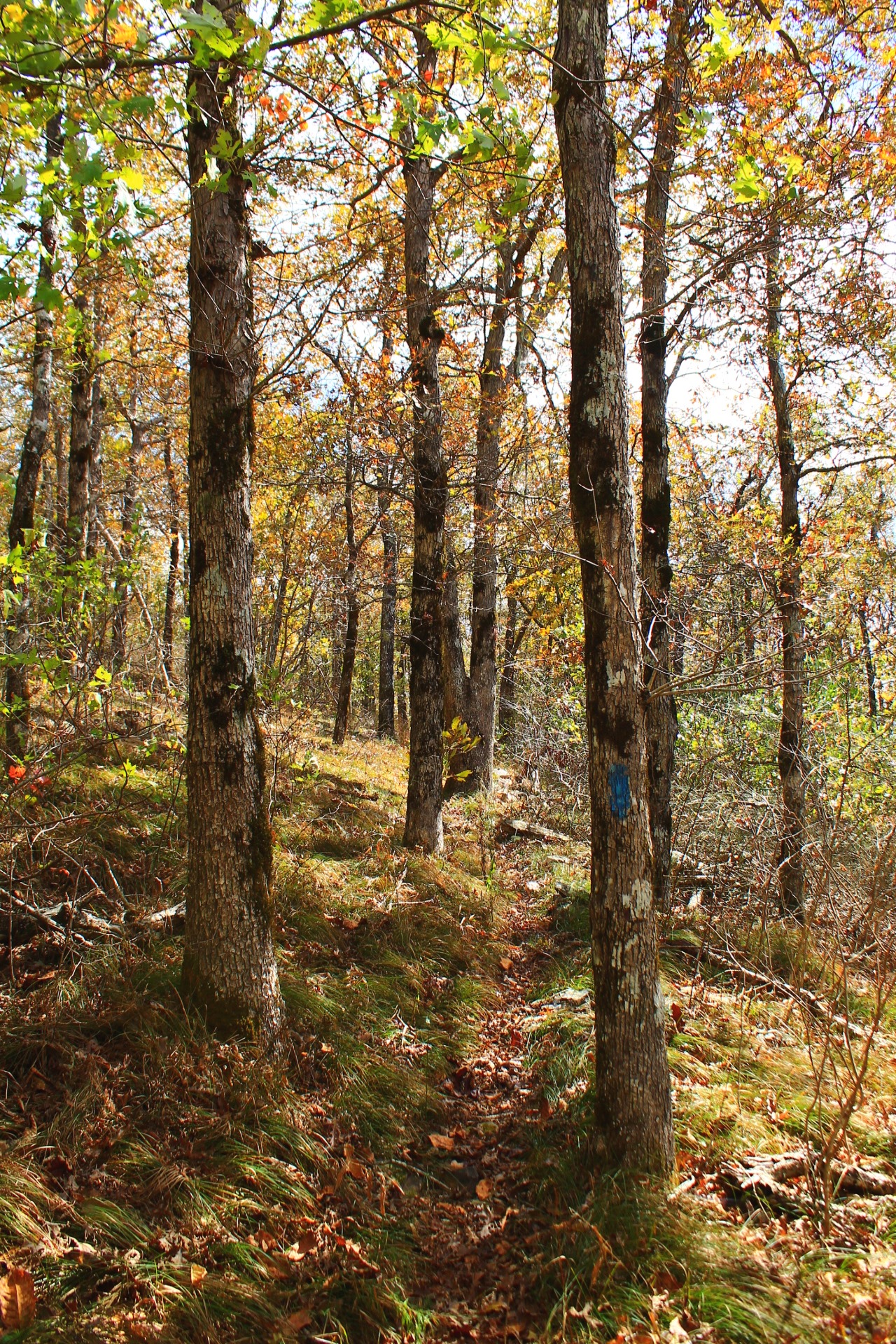
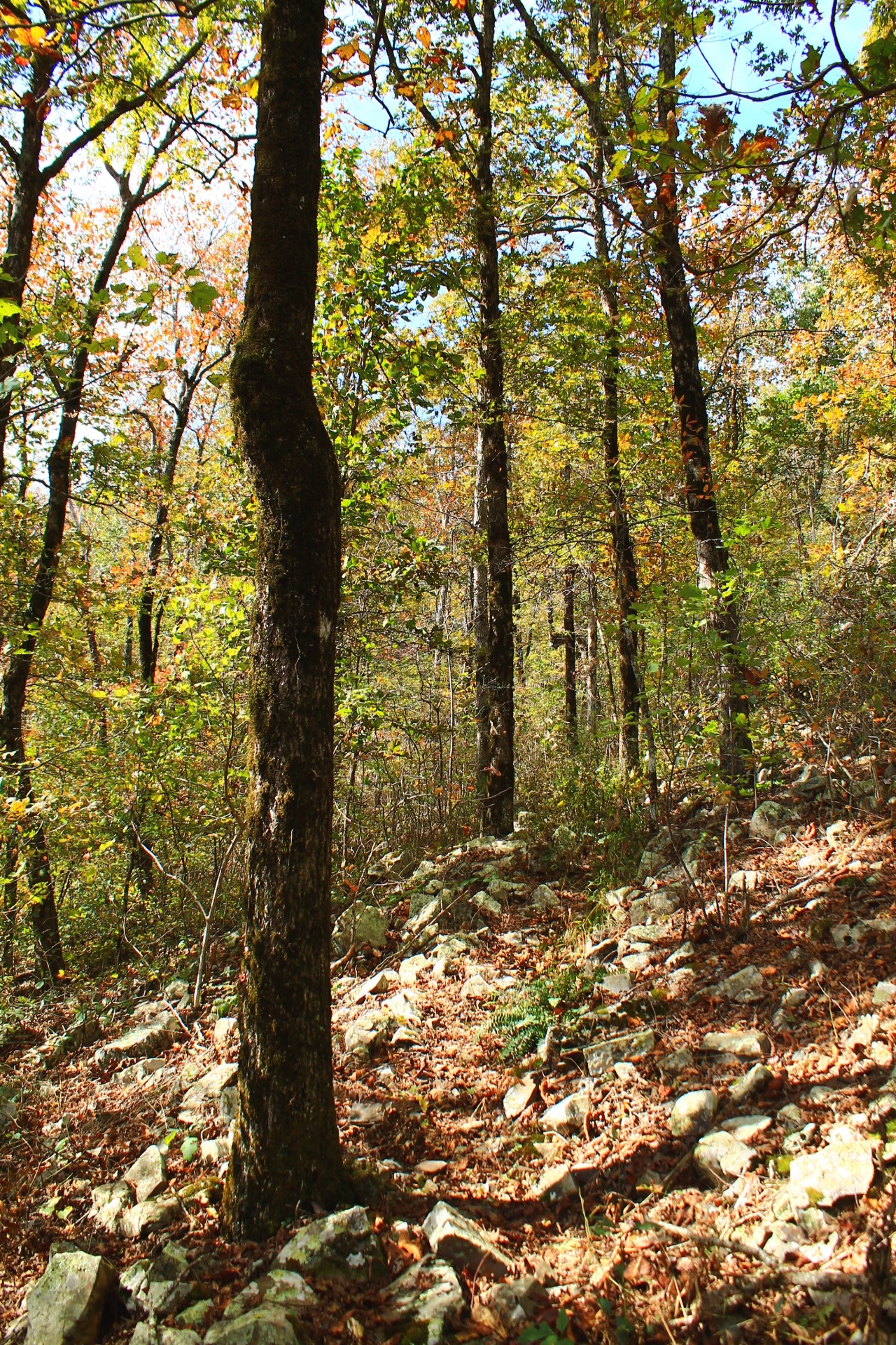
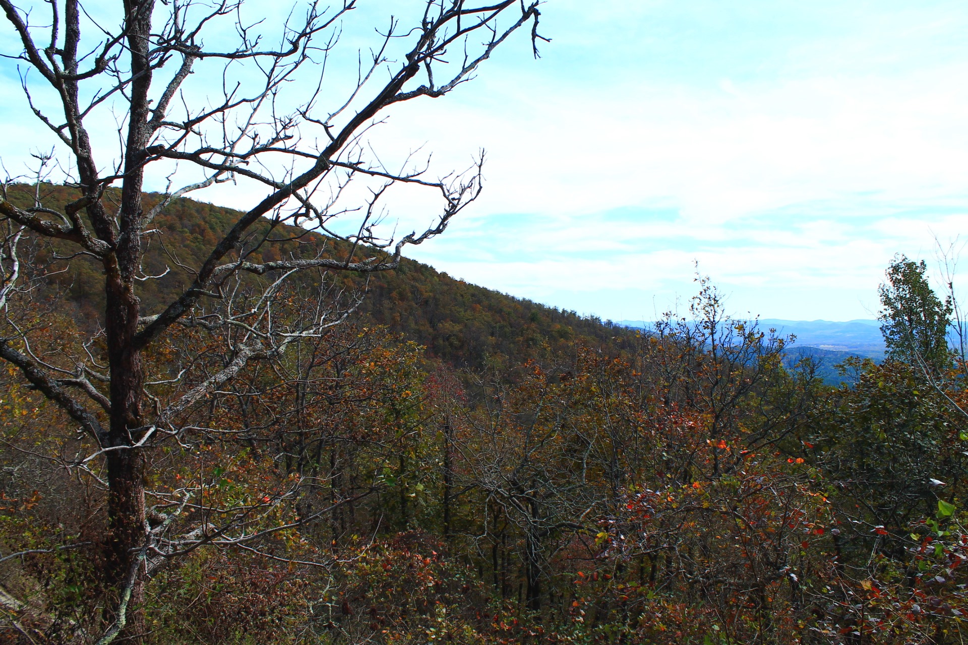
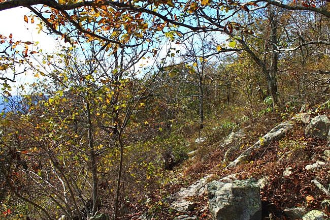
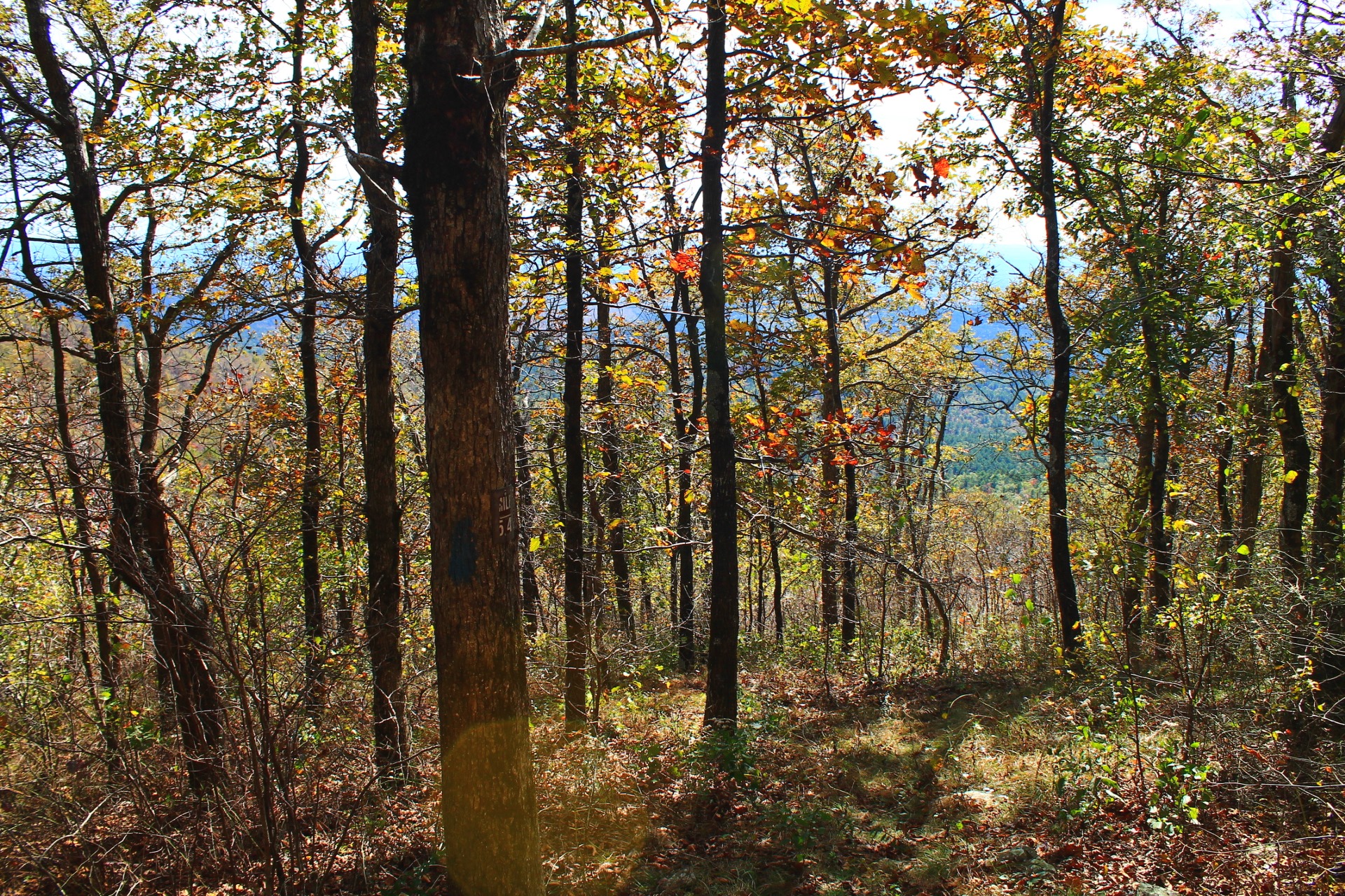
Photo Gallery
Click below for full-screen photo gallery of these and more pics from my October 23, 2017 hike.
Ouachita Trail Sec 03, between Queen Wilhelmina and Hwy 88

Ouachita Trail Sec 03, between Queen Wilhelmina and Hwy 88
Ouachita Trail Sec 03, between Queen Wilhelmina and Hwy 88
Ouachita Trail Sec 03, between Queen Wilhelmina and Hwy 88
Ouachita Trail Sec 03, between Queen Wilhelmina and Hwy 88
Ouachita Trail Sec 03, between Queen Wilhelmina and Hwy 88
Ouachita Trail Sec 03, between Queen Wilhelmina and Hwy 88
Ouachita Trail Sec 03, between Queen Wilhelmina and Hwy 88
Ouachita Trail Sec 03, between Queen Wilhelmina and Hwy 88
Ouachita Trail Sec 03, between Queen Wilhelmina and Hwy 88
Ouachita Trail Sec 03, between Queen Wilhelmina and Hwy 88
Ouachita Trail Sec 03, between Queen Wilhelmina and Hwy 88
Ouachita Trail Sec 03, between Queen Wilhelmina and Hwy 88
Ouachita Trail Sec 03, between Queen Wilhelmina and Hwy 88
Ouachita Trail Sec 03, between Queen Wilhelmina and Hwy 88
Ouachita Trail Sec 03, between Queen Wilhelmina and Hwy 88
Ouachita Trail Sec 03, between Queen Wilhelmina and Hwy 88
Ouachita Trail Sec 03, between Queen Wilhelmina and Hwy 88
Ouachita Trail Sec 03, between Queen Wilhelmina and Hwy 88

Ouachita Trail Sec 03, between Queen Wilhelmina and Hwy 88

Ouachita Trail Sec 03, between Queen Wilhelmina and Hwy 88

Ouachita Trail Sec 03, between Queen Wilhelmina and Hwy 88

Ouachita Trail Sec 03, between Queen Wilhelmina and Hwy 88

Ouachita Trail Sec 03, between Queen Wilhelmina and Hwy 88

Ouachita Trail Sec 03, between Queen Wilhelmina and Hwy 88

Ouachita Trail Sec 03, between Queen Wilhelmina and Hwy 88

Ouachita Trail Sec 03, between Queen Wilhelmina and Hwy 88

Ouachita Trail Sec 03, between Queen Wilhelmina and Hwy 88

Ouachita Trail Sec 03, between Queen Wilhelmina and Hwy 88

Ouachita Trail Sec 03, between Queen Wilhelmina and Hwy 88

Ouachita Trail Sec 03, between Queen Wilhelmina and Hwy 88

Ouachita Trail Sec 03, between Queen Wilhelmina and Hwy 88

Ouachita Trail Sec 03, between Queen Wilhelmina and Hwy 88

Ouachita Trail Sec 03, between Queen Wilhelmina and Hwy 88
Last revised: 5-14-2021