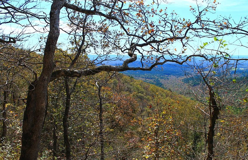
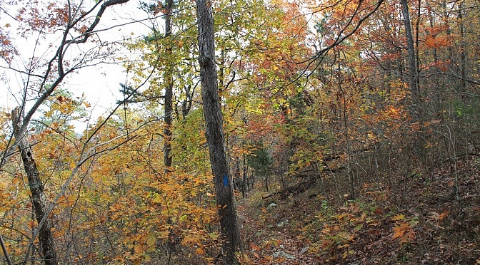
Previously, I profiled this scenic and accessible stretch of Section 3 of the Ouachita Trail on Rich Mountain (Polk County, near Mena). It goes approximately from mile 51.6 to 54.1. There are some great south-facing views on this stretch.

The Ouachita Trail is a 223- mile trail running from Talimena, Oklahoma to Pulaski County, Arkansas. The vast majority of it is in the Ouachita National Forest.
For a list of trail segment profiles on this site, visit this link.

Previously, I profiled this scenic and accessible stretch of Section 3 of the Ouachita Trail on Rich Mountain (Polk County, near Mena). It goes approximately from mile 51.6 to 54.1. There are some great south-facing views on this stretch.

This is a 2.5-mile stretch of the Ouachita Trail that goes from Queen Wilhelmina State Park heading east to Highway 88 (Talimena Scenic Highway). It is the first part of Section 3 (following Tim Ernst), and is all on Rich Mountain in Polk County, near Mena. It is a pretty enjoyable stretch mostly running along […]

Here are some more pics from my April 2016 Ouachita Trail hike from Eagle Gap to Mile 63. (The trail profile is here.) This is from 58.5 to 63.0 in Polk County, Arkansas, near Mena.

This stretch of Section 3 of the Ouachita Trail (Ouachita National Forest) goes from Mile Marker 63 to the Foran Gap Trailhead (68.1) on Highway 71, just north of Mena (Polk County). The section of the Ouachita Trail between Eagle Gap (around Mile Marker 58) and Foran Gap is about 10 miles long and has no access […]

This part of Section 3 (as Tim Ernst designates) of the Ouachita Trail (OT) is from 58.5 to 63.0 in Polk County, Arkansas, near Mena. It starts about 7 miles east of Queen Wilhelmina State Park at the Eagle Gap juncture and heads up the western part of Fourche Mountain. It’s a pretty vigorous hike. […]

The 1.8-mile stretch of Section 1 of the Ouachita Trail from Forest Road 6014 (west end) to the Winding Stair Trailhead is an enjoyable walk. Along with the rest of Section 1, it is on Winding Stair Mountain (Ouachita National Forest, LeFlore County, Oklahoma) one of my favorite places to hike. This stretch covers the […]