Here are some more pics from my April 2016 Ouachita Trail hike from Eagle Gap to Mile 63. (The trail profile is here.)
This is from 58.5 to 63.0 in Polk County, Arkansas, near Mena.
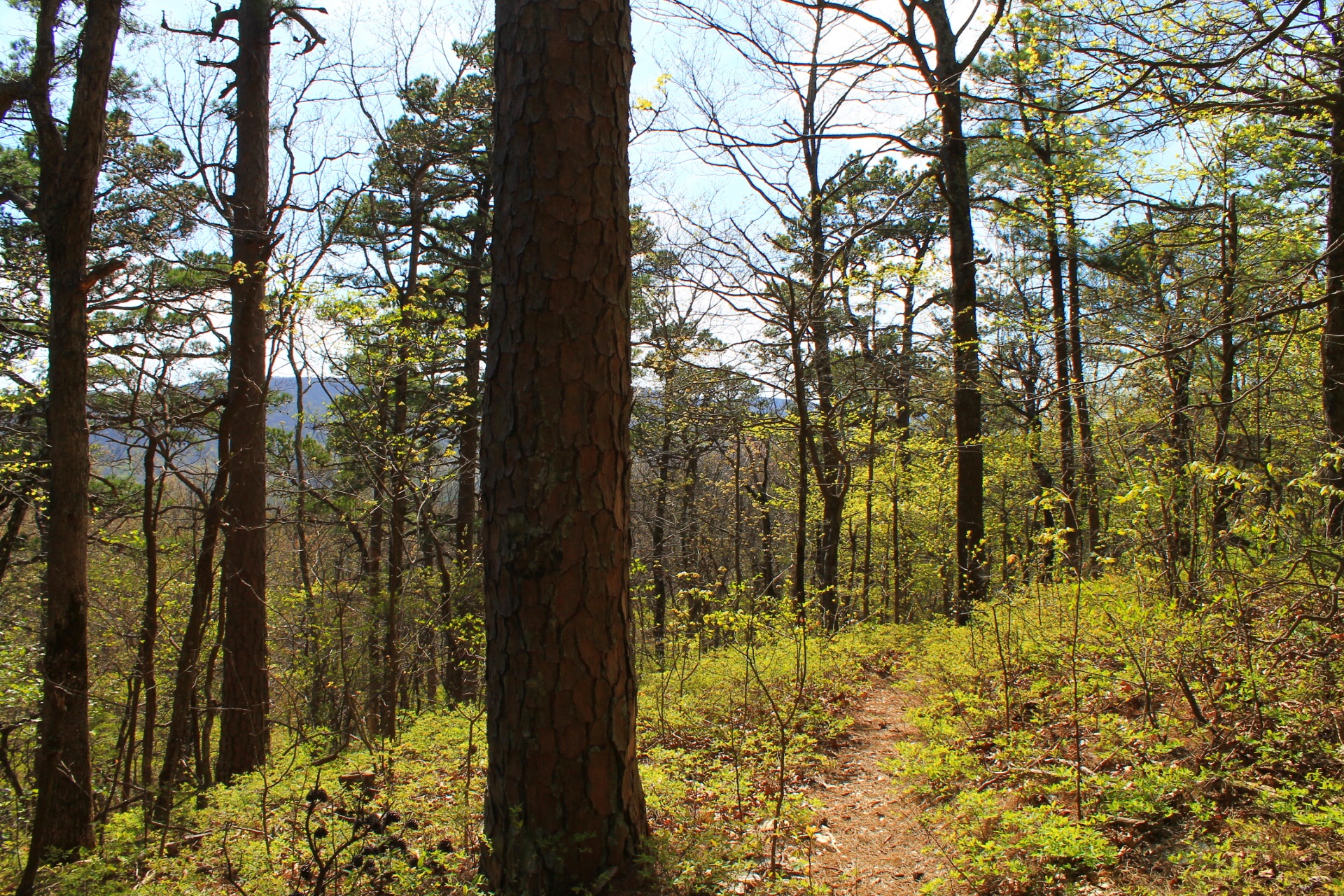
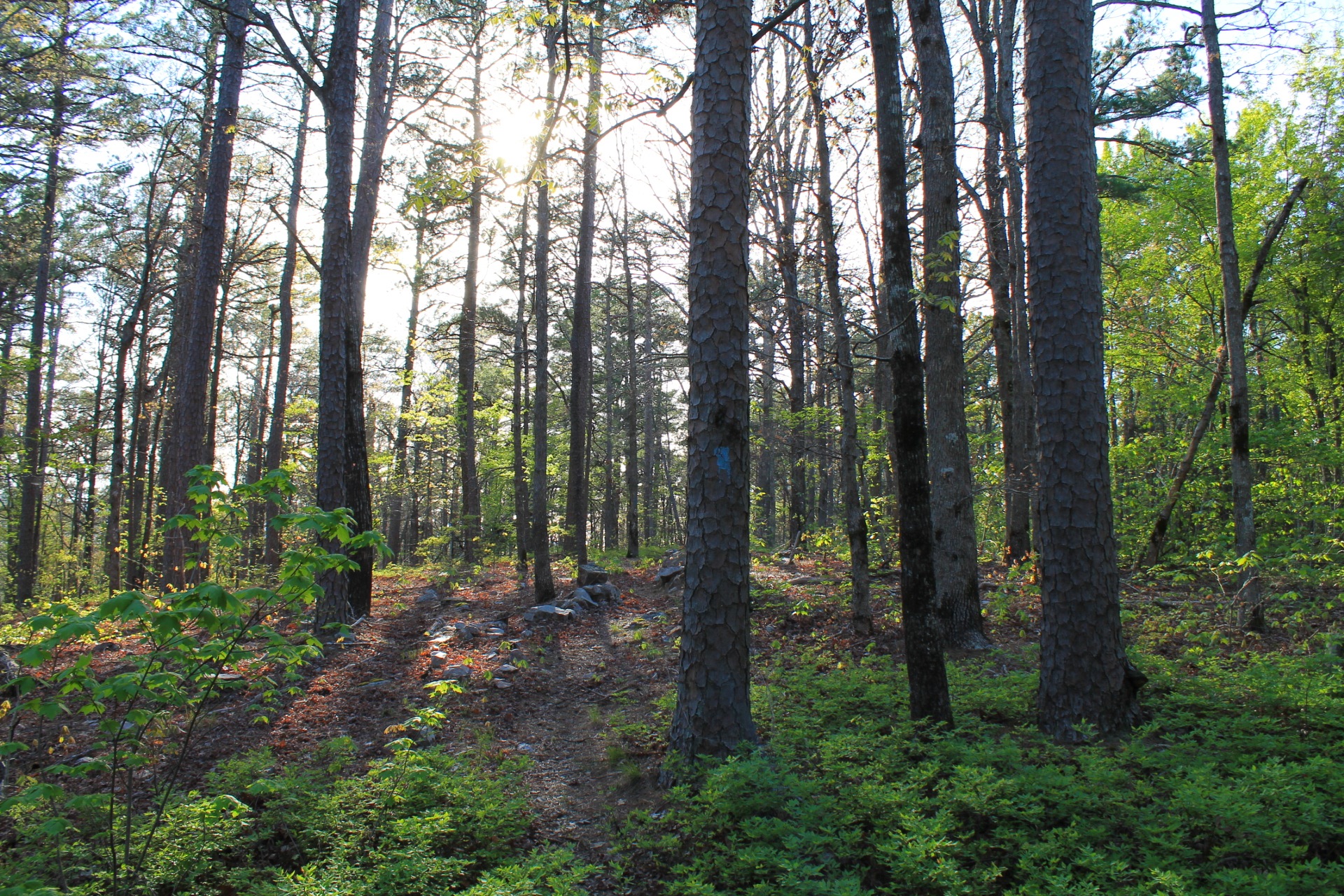
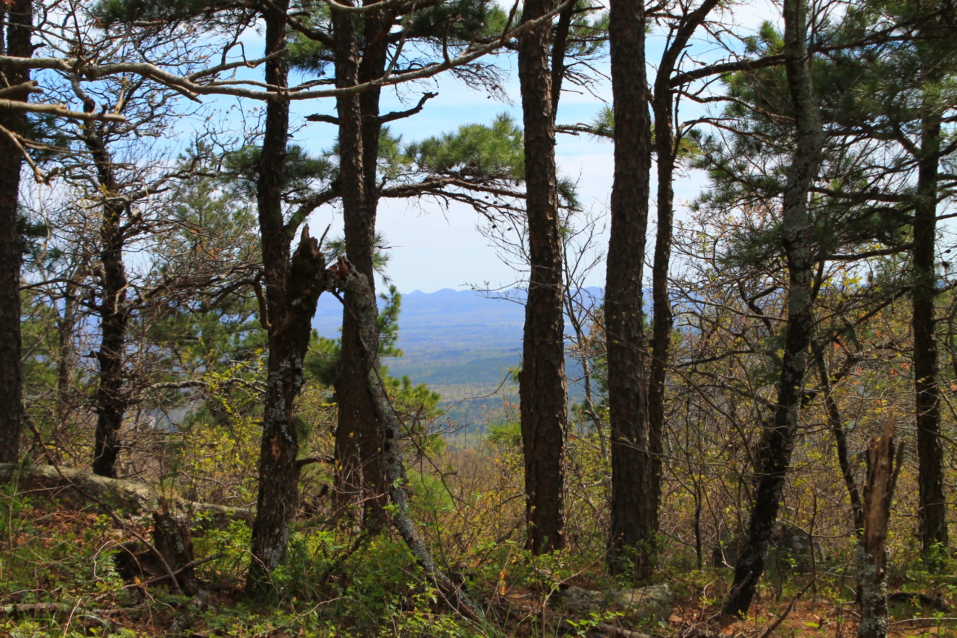
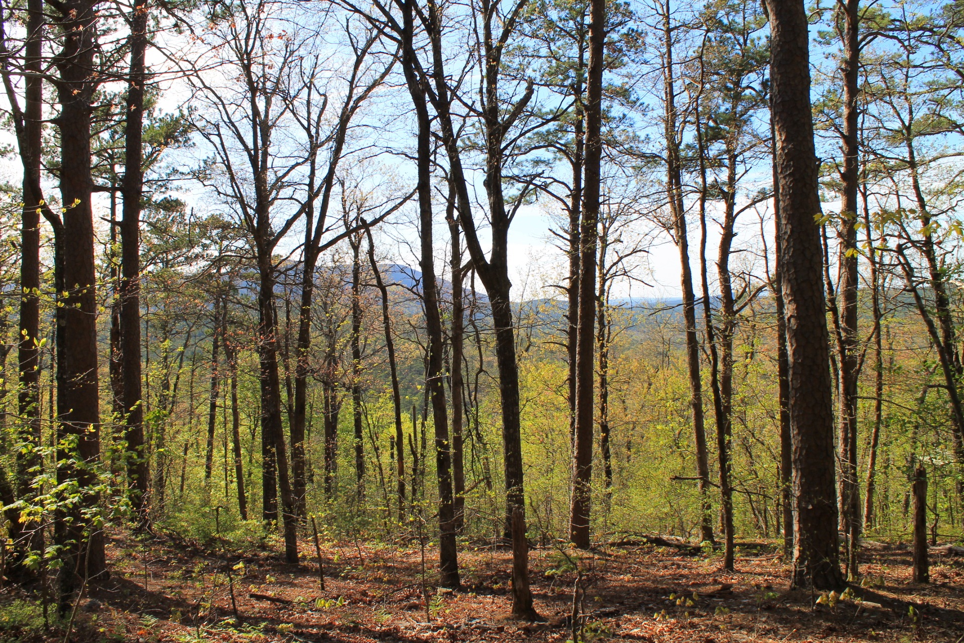
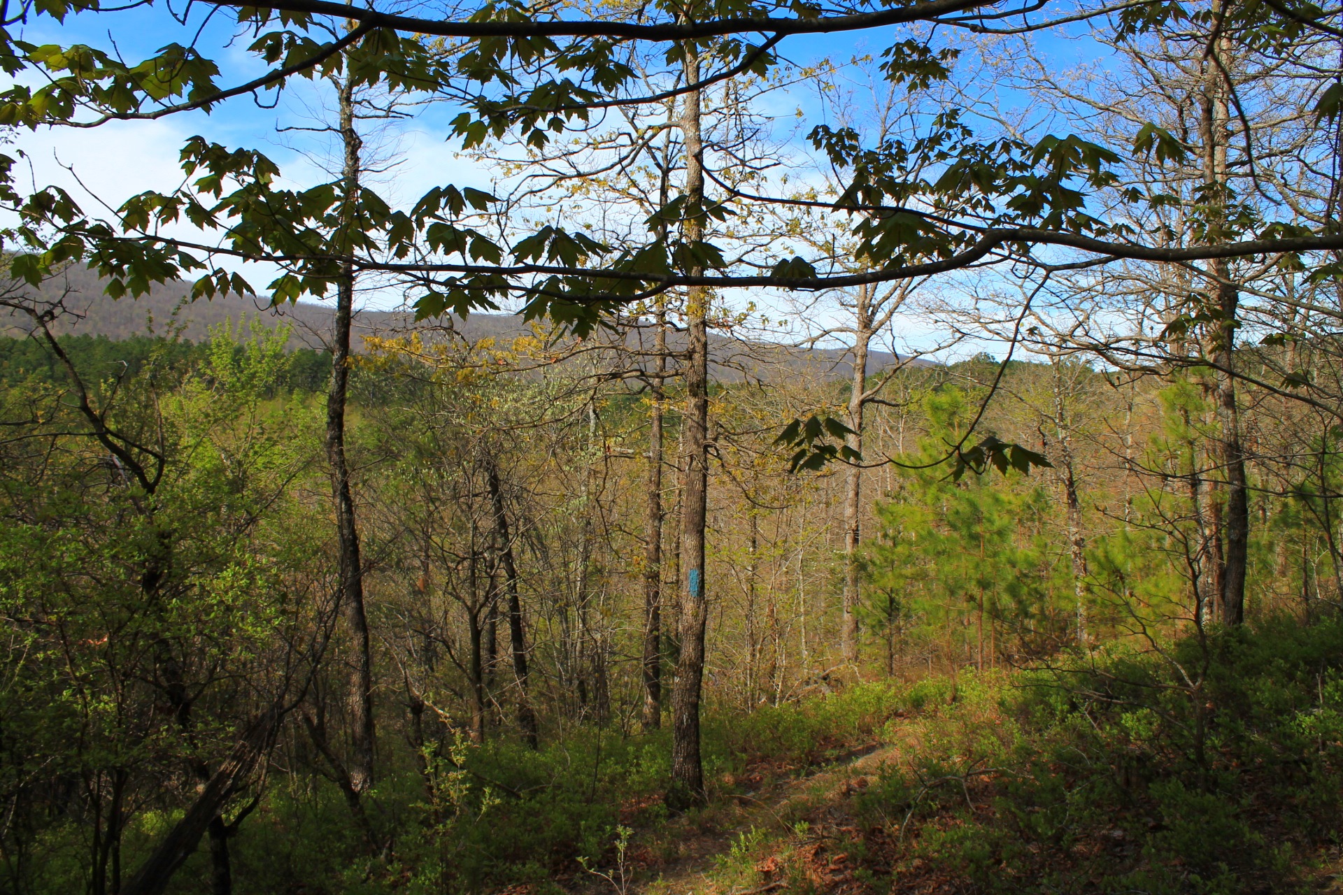
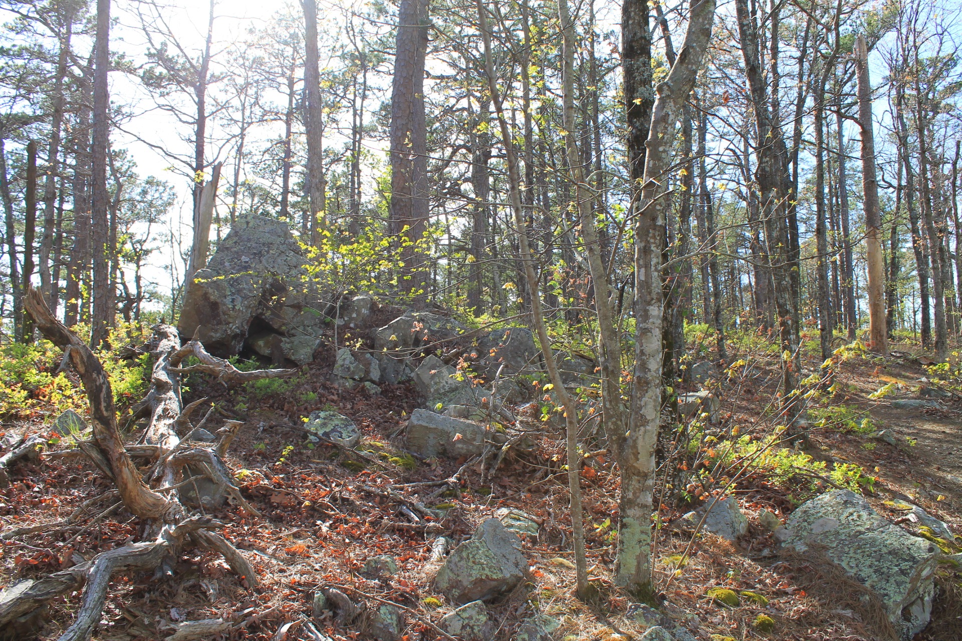
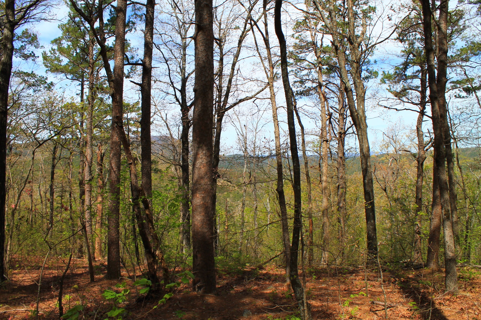
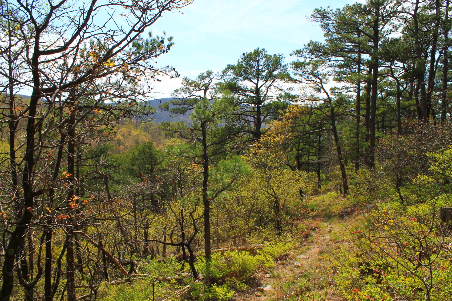
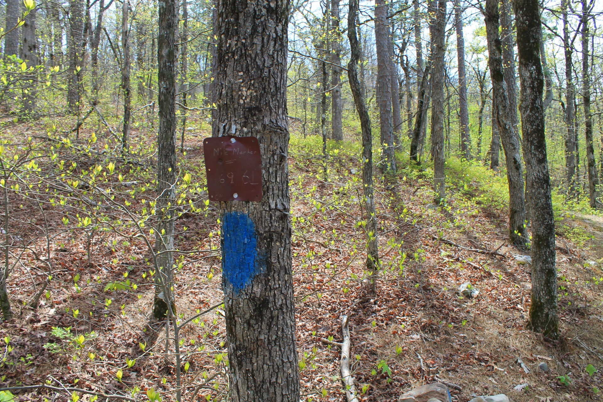
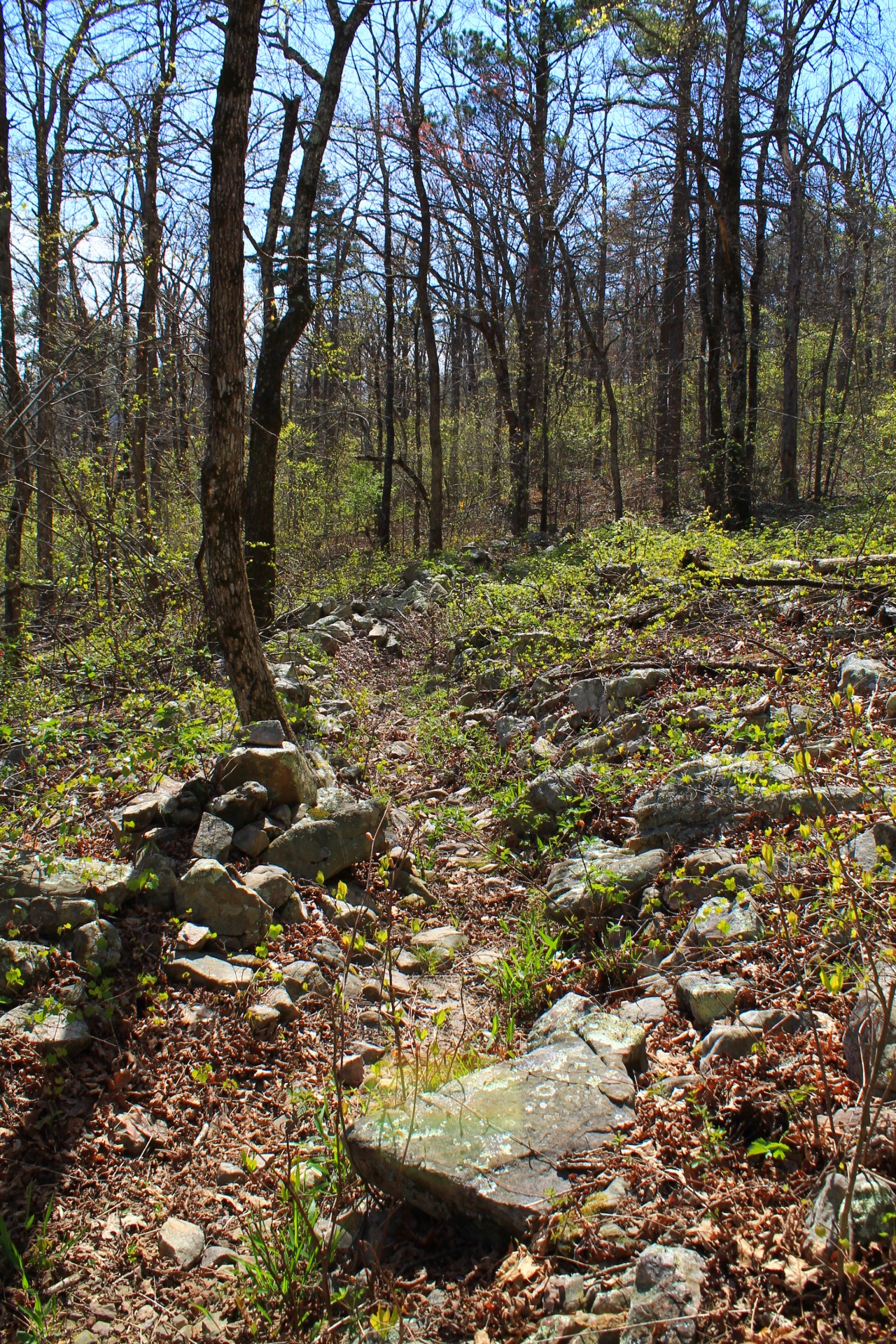
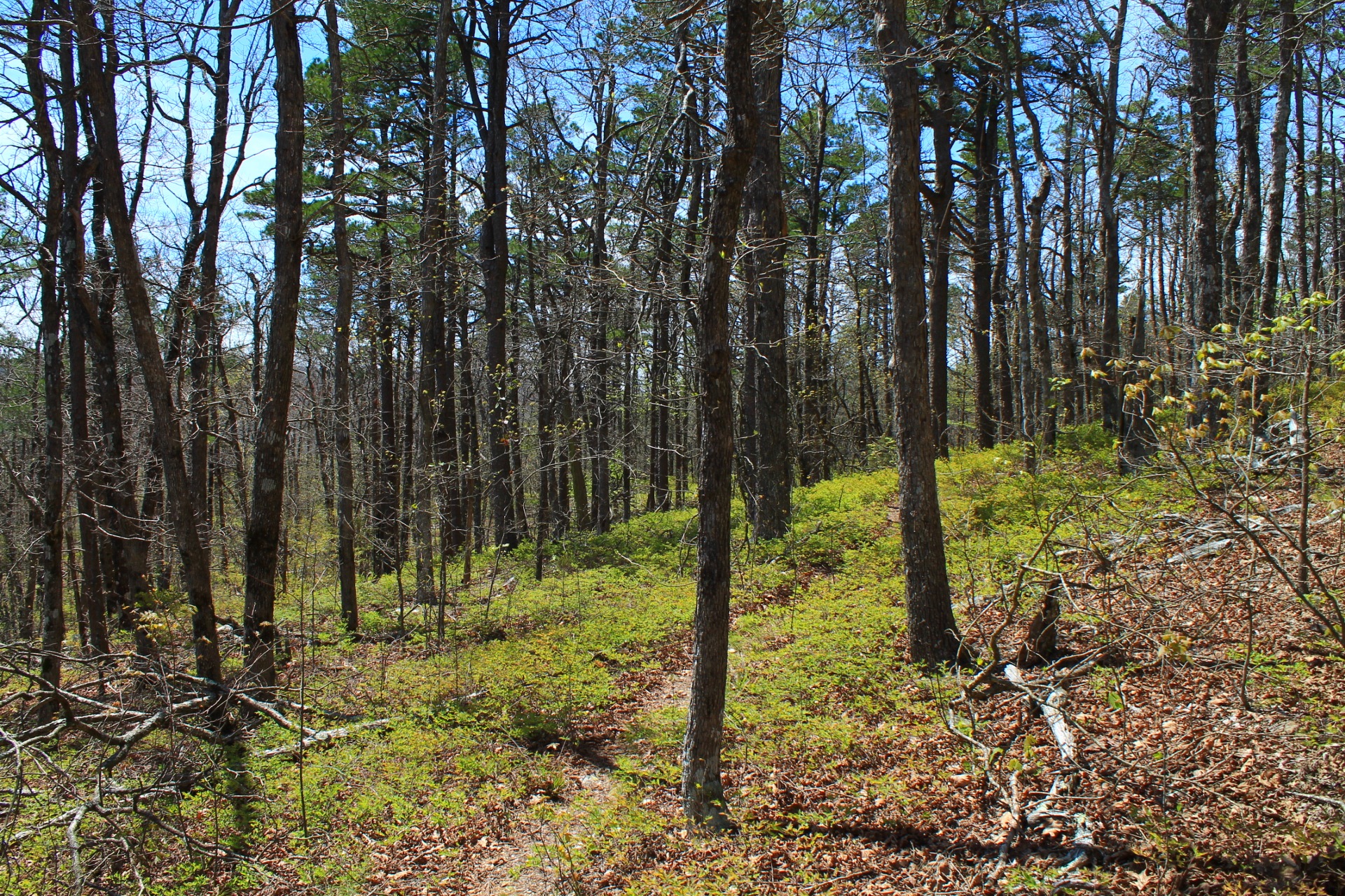
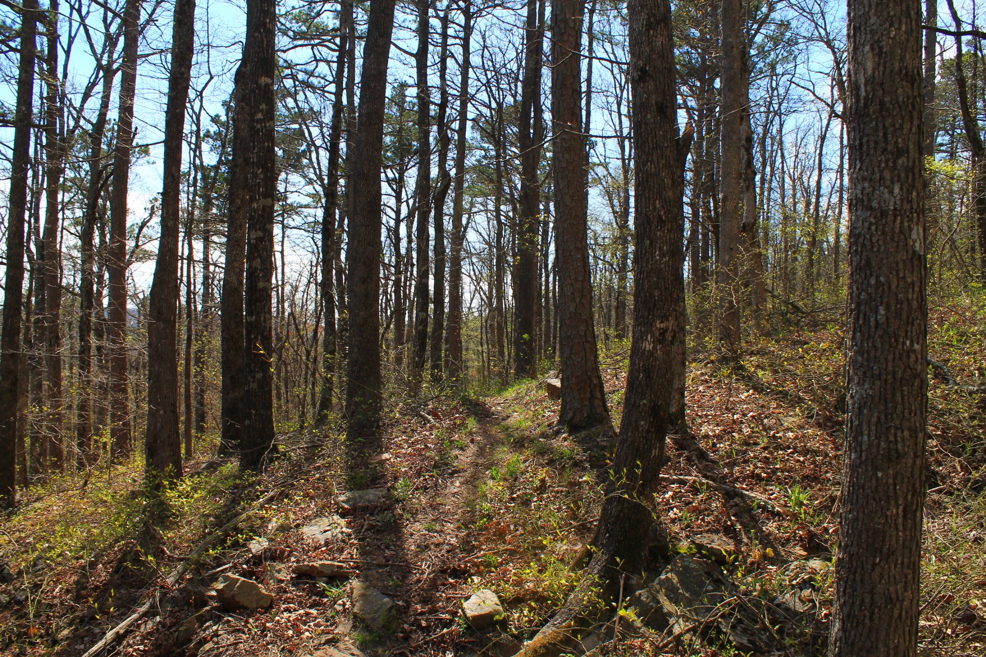
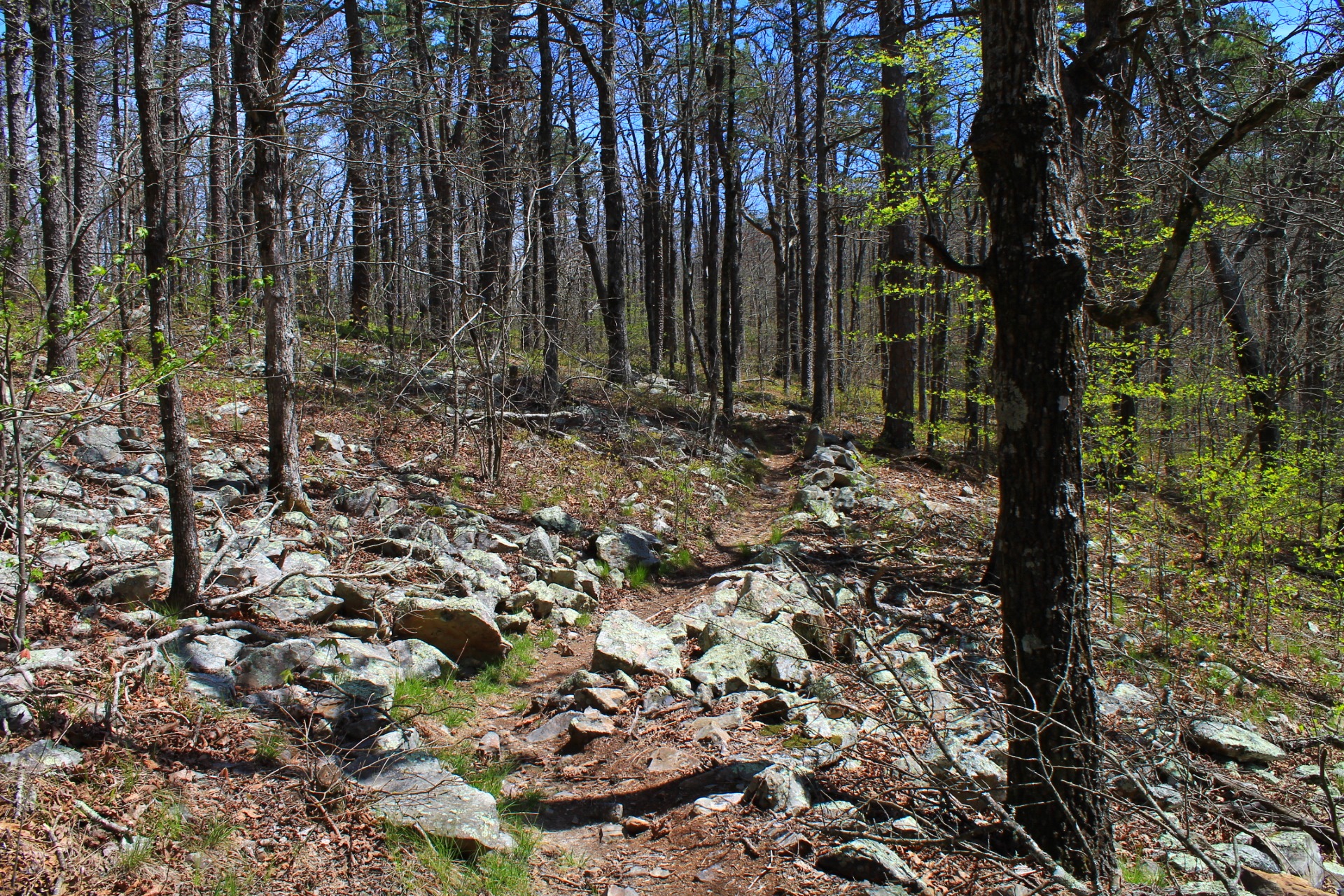
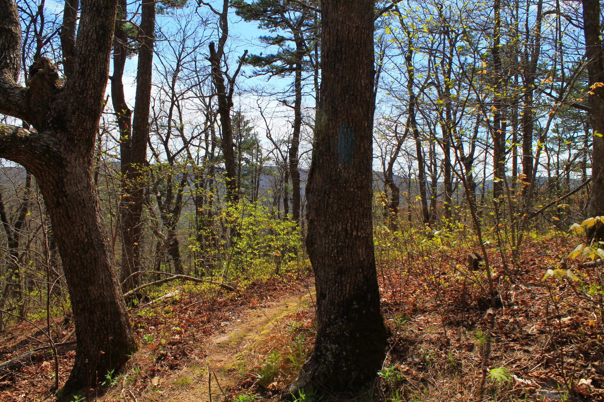
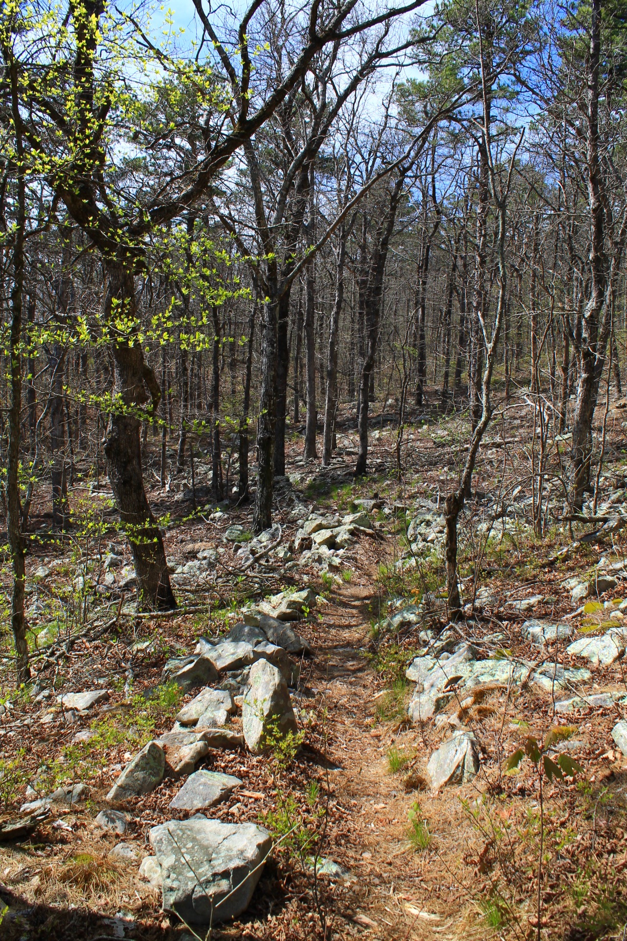
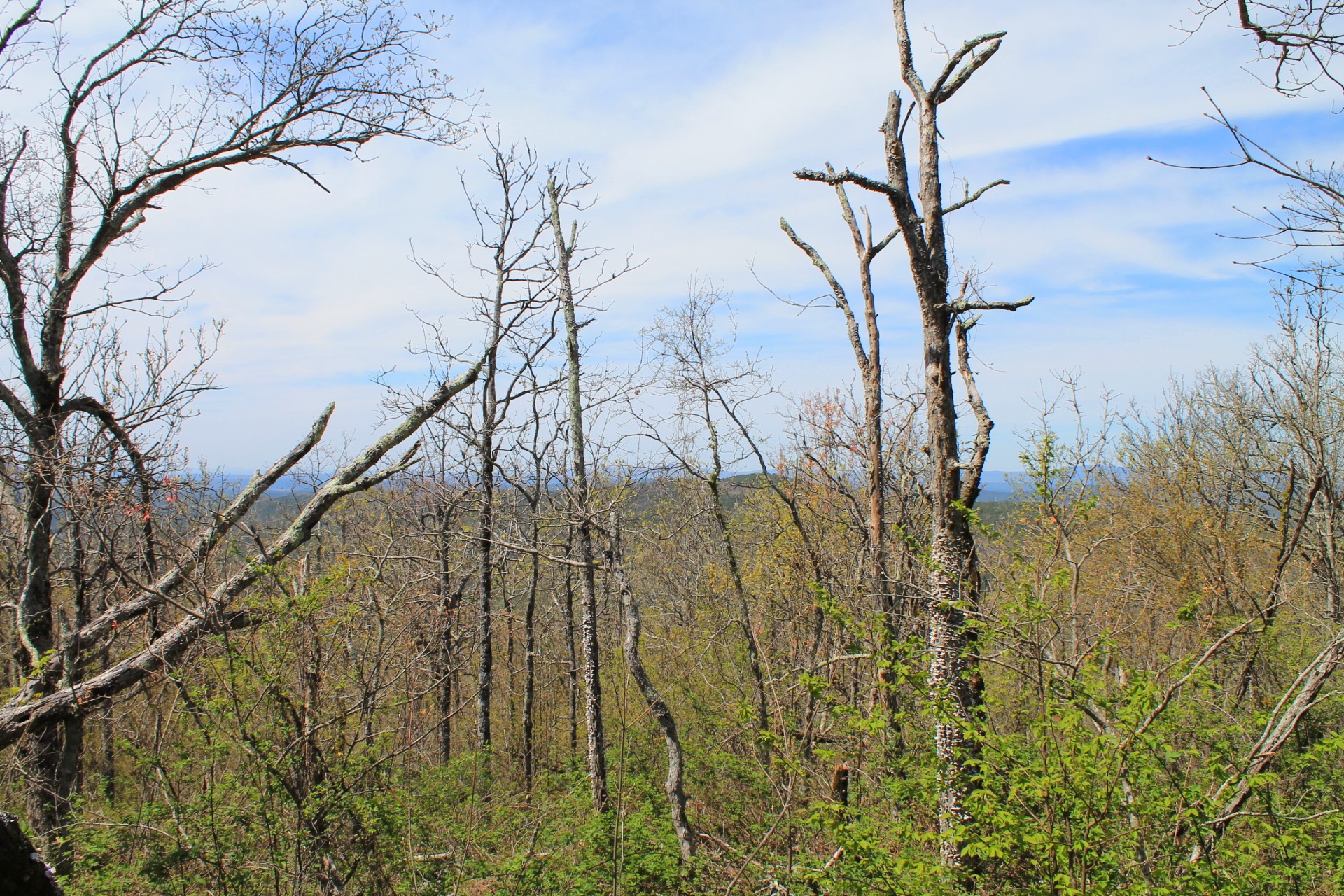
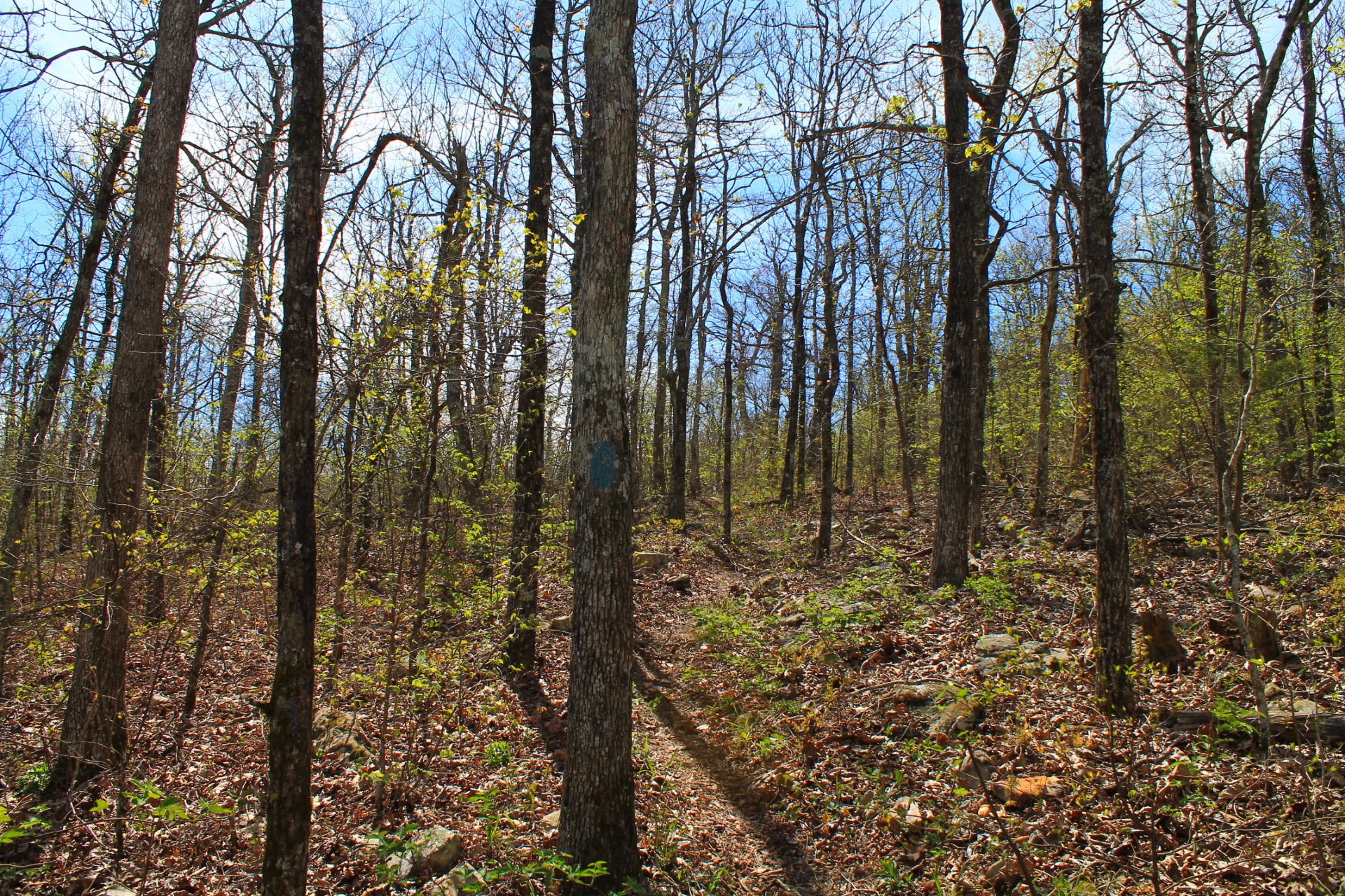
Photo Gallery
Click below for full-screen photo gallery.
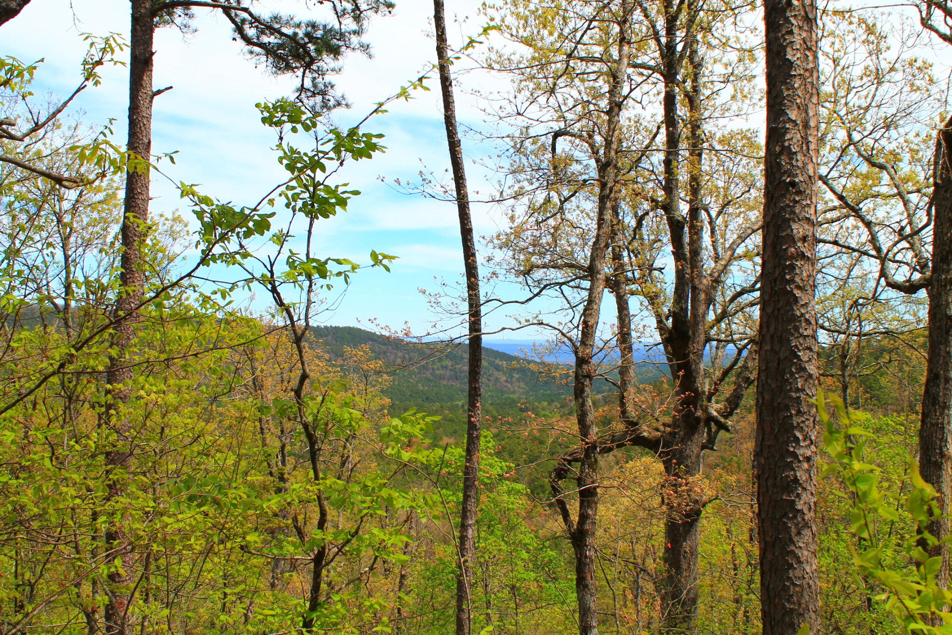
Ouachita Trail, Section 3, between MM 58.3 and 63.0
Ouachita Trail, Section 3, between MM 58.3 and 63.0

Ouachita Trail, Section 3, between MM 58.3 and 63.0

Ouachita Trail, Section 3, between MM 58.3 and 63.0
Ouachita Trail, Section 3, between MM 58.3 and 63.0
Ouachita Trail, Section 3, between MM 58.3 and 63.0
Ouachita Trail, Section 3, between MM 58.3 and 63.0
Ouachita Trail, Section 3, between MM 58.3 and 63.0
Ouachita Trail, Section 3, between MM 58.3 and 63.0
Ouachita Trail, Section 3, between MM 58.3 and 63.0
Ouachita Trail, Section 3, between MM 58.3 and 63.0
Ouachita Trail, Section 3, between MM 58.3 and 63.0
Ouachita Trail, Section 3, between MM 58.3 and 63.0
Ouachita Trail, Section 3, between MM 58.3 and 63.0
Ouachita Trail, Section 3, between MM 58.3 and 63.0
Ouachita Trail, Section 3, between MM 58.3 and 63.0
Ouachita Trail, Section 3, between MM 58.3 and 63.0
Ouachita Trail, Section 3, between MM 58.3 and 63.0
Ouachita Trail, Section 3, between MM 58.3 and 63.0
Last revised: 9-17-2019.