The 6-mile War Eagle Valley Loop of the Hidden Diversity Trail is a cool and scenic hike at Hobbs State Park-Conservation Area (Benton County, near Rogers). The overlooks near War Eagle Creek are a real treat.
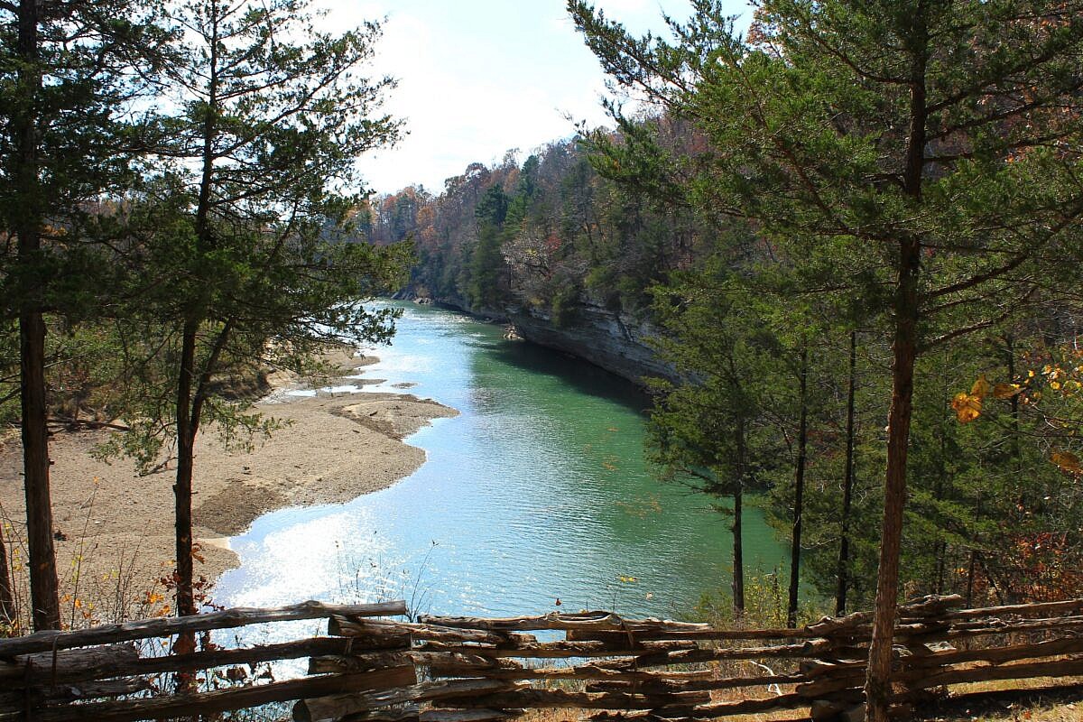

The 6-mile War Eagle Valley Loop of the Hidden Diversity Trail is a cool and scenic hike at Hobbs State Park-Conservation Area (Benton County, near Rogers). The overlooks near War Eagle Creek are a real treat.
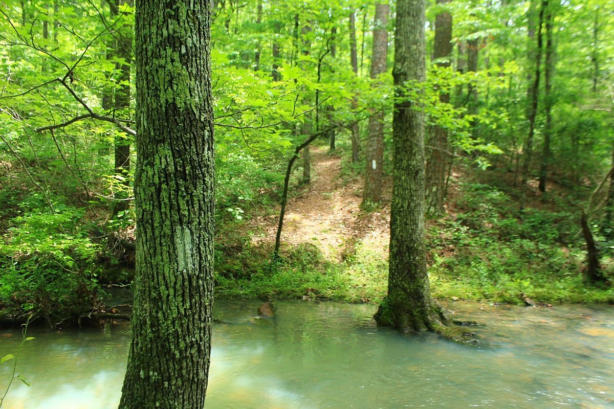
This is a scenic 6.5-mile loop which begins at the Big Brushy Recreation Area (Montgomery County), about 30 miles east of Mena, Arkansas. The trail begins at the back of the recreation area and makes a counterclockwise loop. The last 3.1 miles of the loop are on Section 4 of the Ouachita Trail.
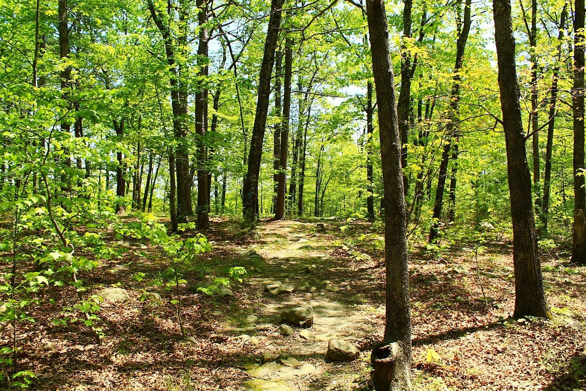
This 3.8-mile stretch on Section 2 of the Ouachita Trail from Big Cedar Trailhead (on Highway 259, LeFlore County, OK, Ouachita National Forest) to the Pashubbe Trailhead is an accessible and moderately challenging hike. It makes about an 8-mile out-and-back day hike with a couple of seasonal stream crossings and a few ponds.
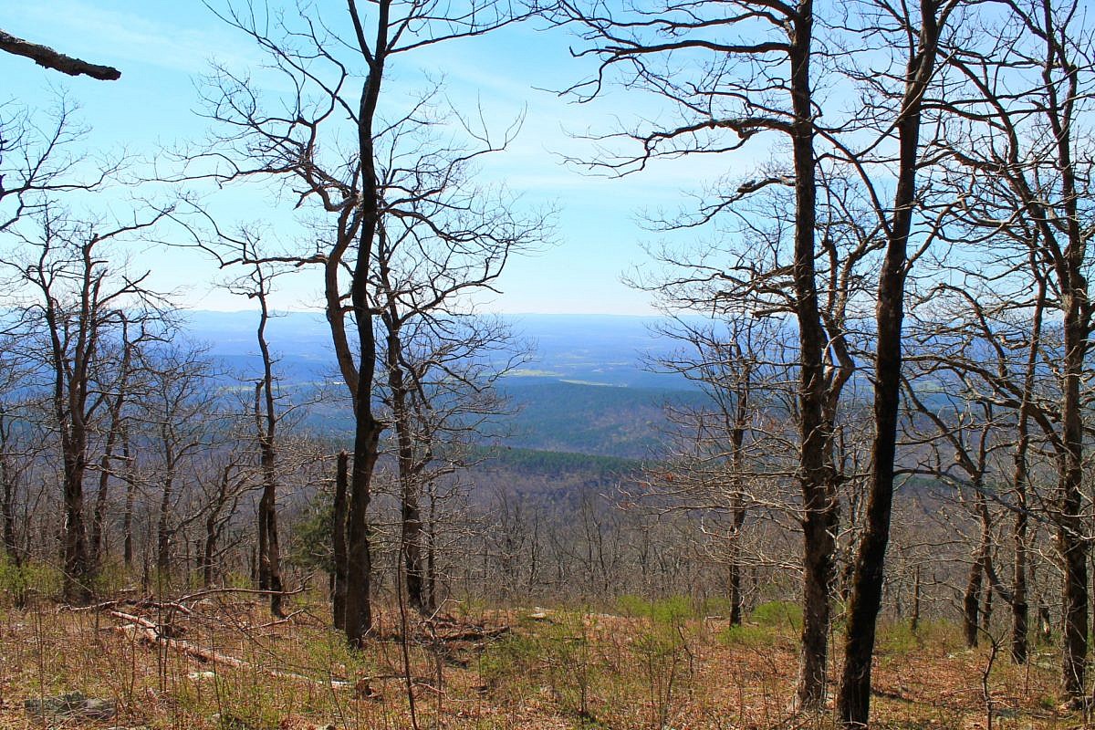
This is an enjoyable 3.8-mile east-west stretch of the Ouachita Trail in Polk County (near Mena) with Forest Road 514 (Polk County Road 100) on the west end and the Queen Wilhelmina State Park (QWSP) Lodge on the east end. It is easily accessible for an enjoyable 7 or 8 mile out-and-back day hike.
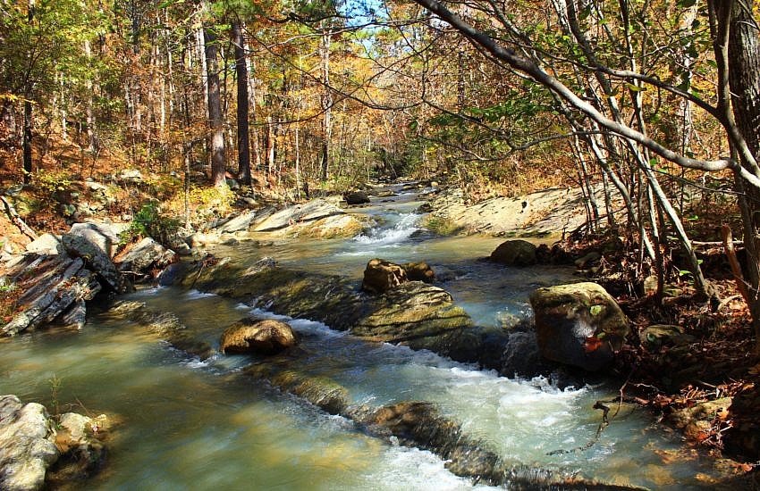
Last fall I had a very enjoyable hike on the south loop of the Billy Creek Trail south loop on Winding Stair Mountain in the Ouachita National Forest (LeFlore County, Oklahoma). These are some additional photos I took on my November 9, 2019 hike.
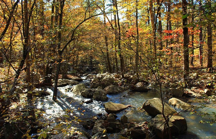
The Billy Creek area is one of the many beautiful natural areas on Winding Stair Mountain in the Ouachita National Forest (LeFlore County, Oklahoma). I consider the trail to have a north loop and a south loop with the center spur forming part of each loop. The Billy Creek Trail south loop is a beautiful […]