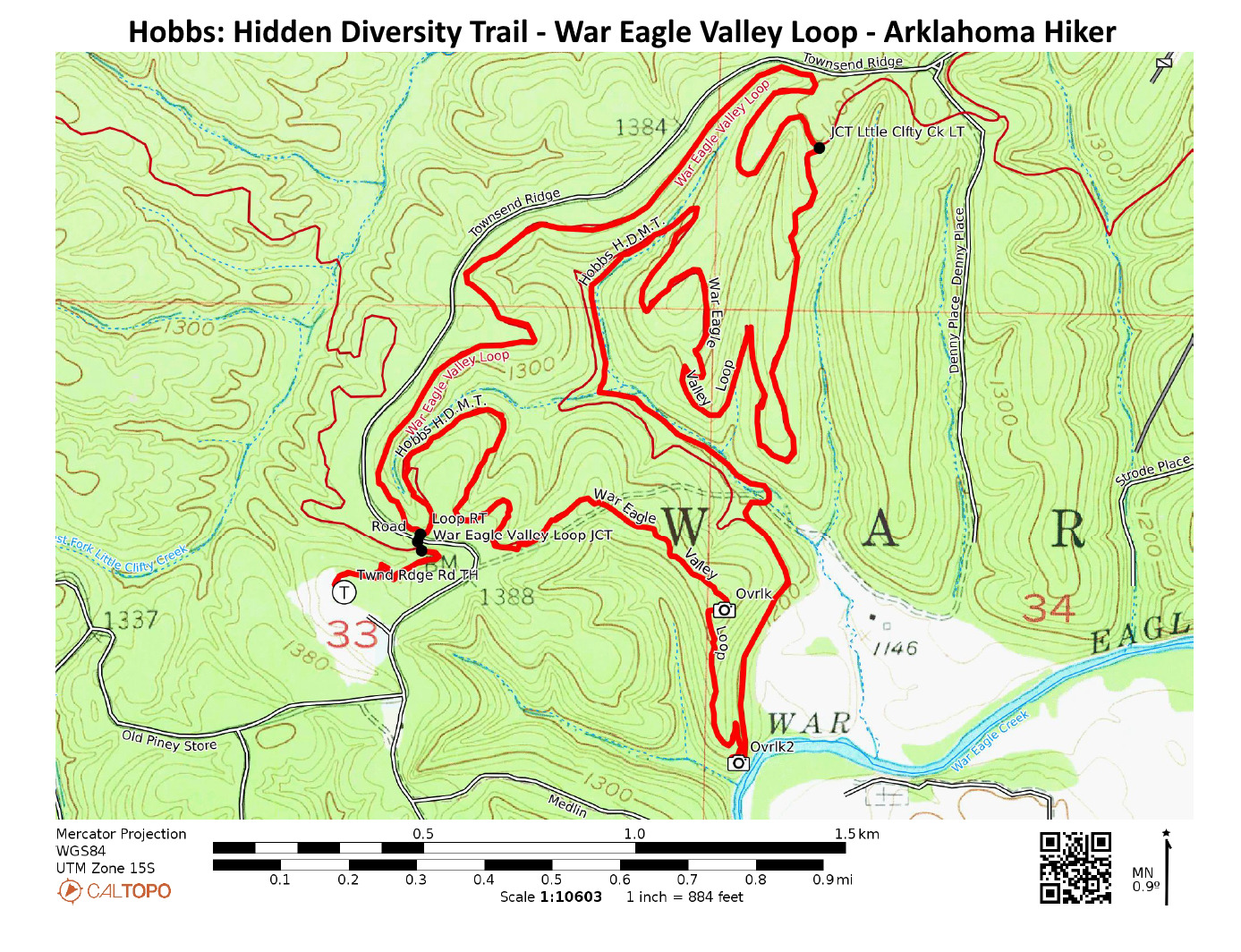
The 6-mile War Eagle Valley Loop of the Hidden Diversity Trail is a cool and scenic hike at Hobbs State Park-Conservation Area (Benton County, near Rogers). The overlooks near War Eagle Creek are a real treat.
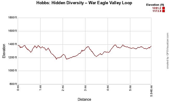
As with most trails at Hobbs, there is not a lot of elevation change. The high and low point elevation change is about 200 feet.
Getting to the Townsend Ridge Road Trailhead at Hobbs State Park
This hike starts from the Townsend Ridge Road Trailhead, an access to the Hidden Diversity Multi-Use Trail.
To get to Hobbs from Rogers, take Highway 12 and head east for about 10 miles.
Watch for Townsend Ridge Road on your right (to the south). It is .9 miles past the Historic Winkle Trailhead parking area. Turn here. Then drive 1.9 miles. You will see the parking area on the right.
This hike starts on the west side of the parking lot.
The Hike
This is about a 6.3 mile hike. It is a loop except for an initial .3 miles spur which gets repeated at the end of the hike.
You first take the spur to the War Eagle Valley Loop. Take a right at the first loop you come to. Briefly you are also on the Little Clifty Creek Loop.
The trail then will cross Townsend Ridge Road (which you drove in on). Then you are at the War Eagle Valley Loop. I usually take a right to do the trail counterclockwise.

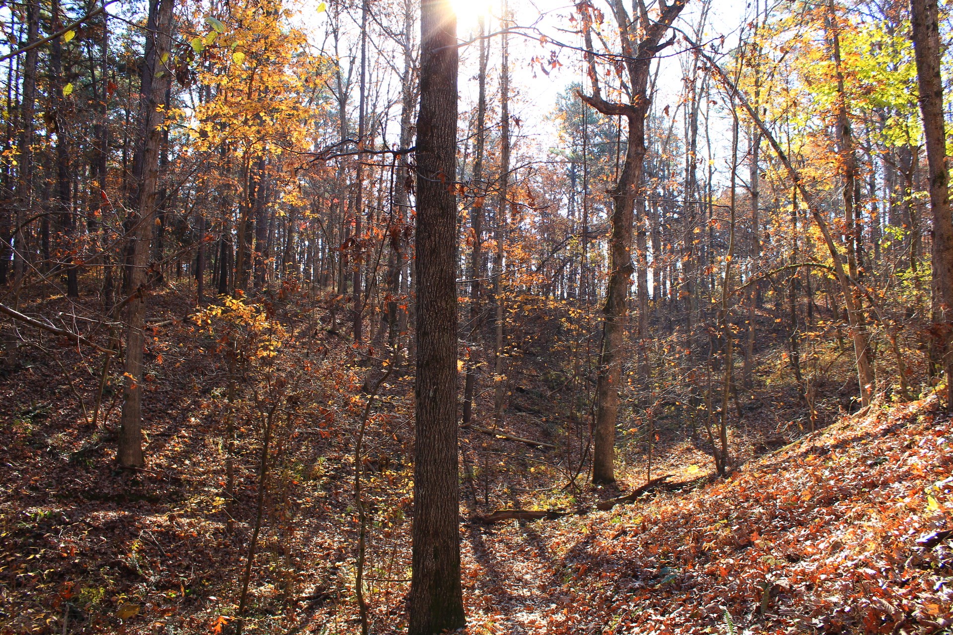
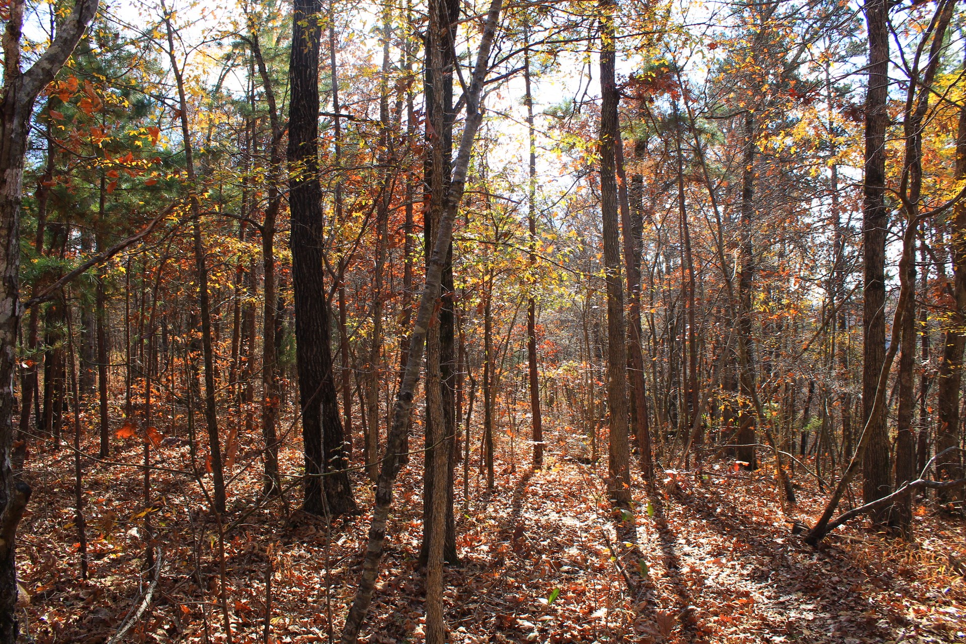
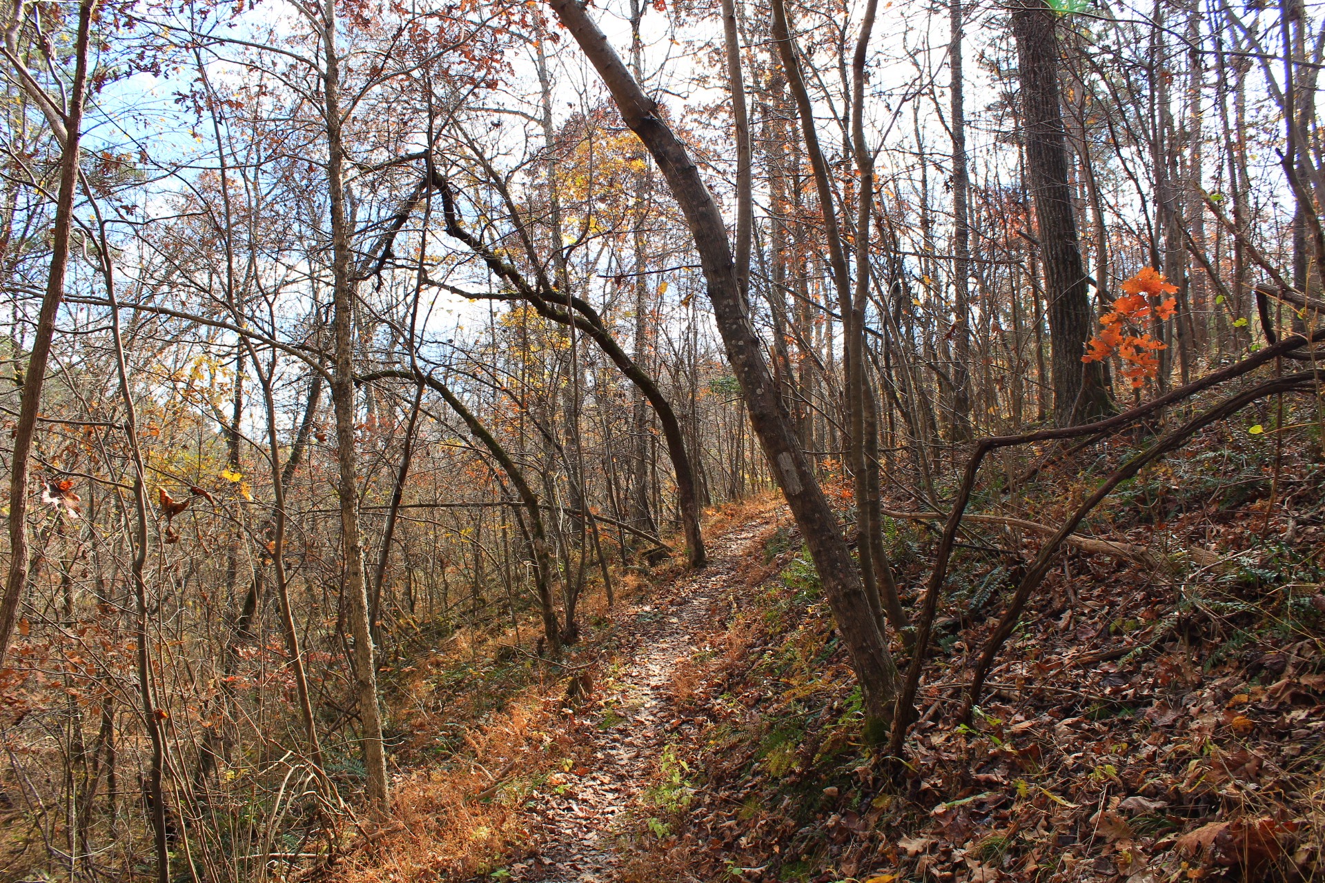
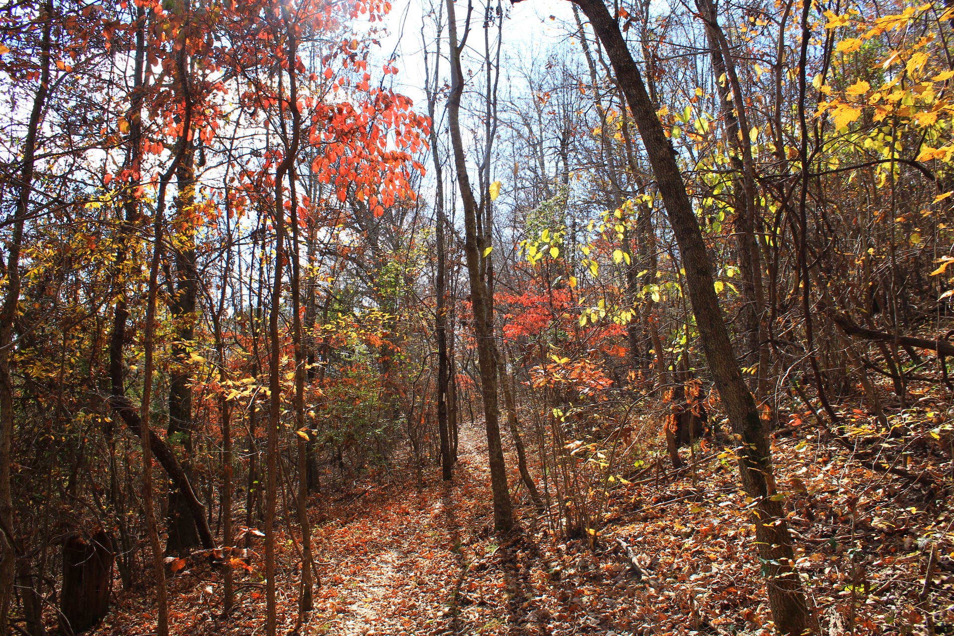
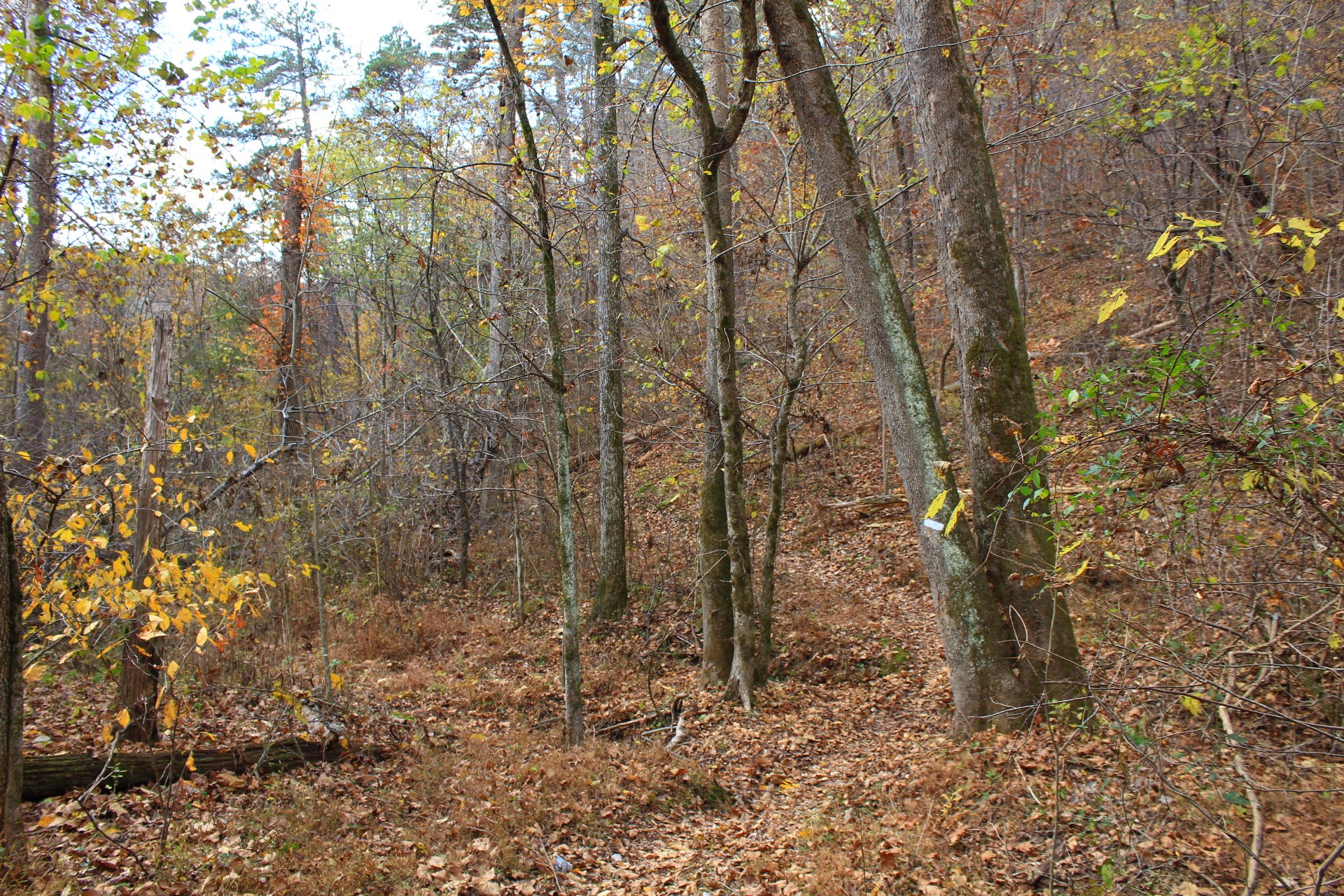
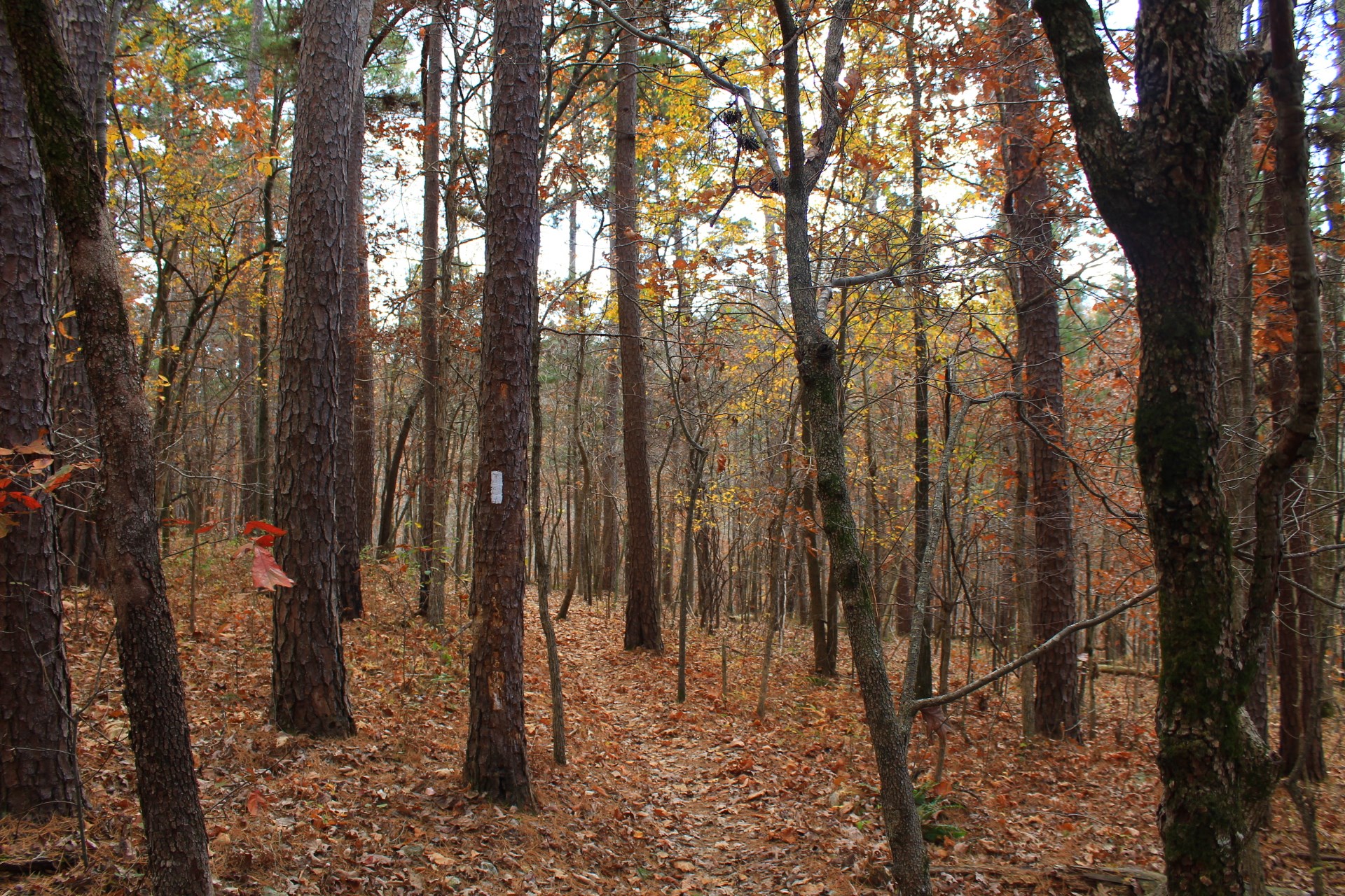
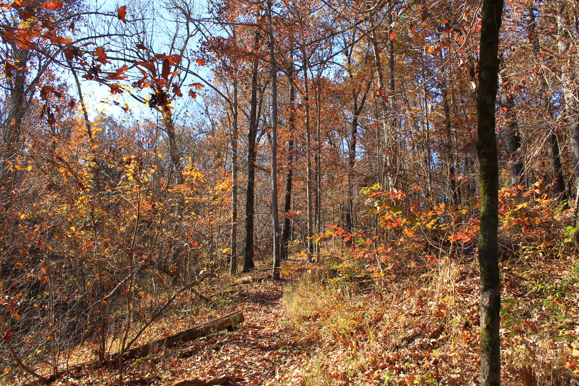
The vast majority of this hike, including the first mile or so, is not rocky and is not that challenging to hike. (There is some climbing in parts though.)
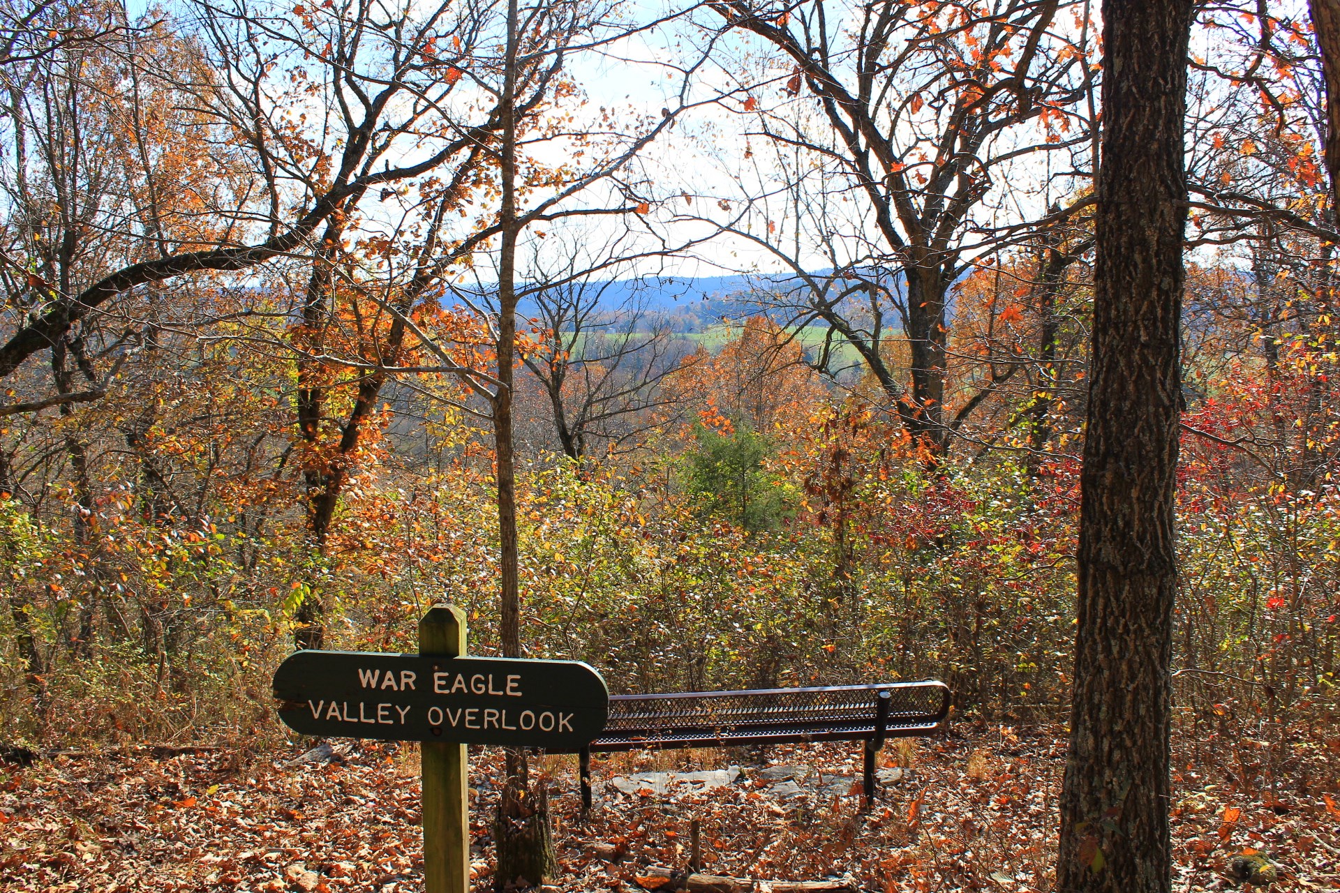
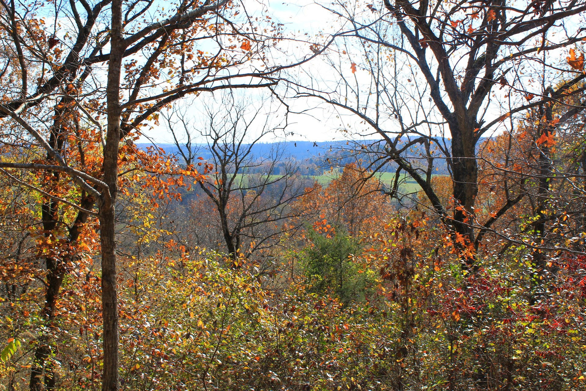
The coolest part of this hike is in the War Eagle Valley overlook area. The valley overlook is at around 1.4 miles. The War Eagle Fair is one of the most popular events in northwest Arkansas. From here, there is an overlook of the scenic valley where this craft fair is held.
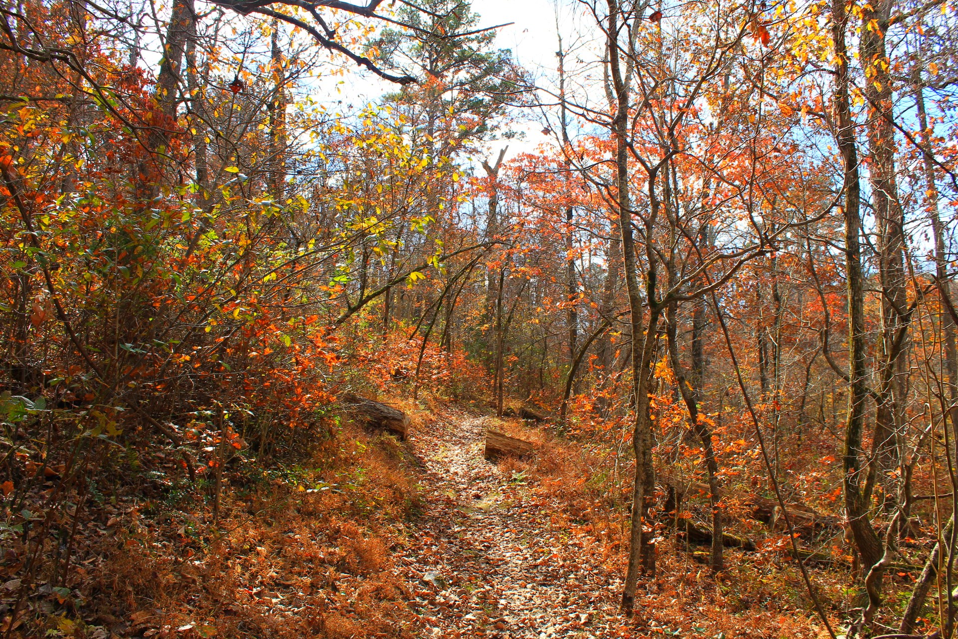
Sometimes the view is partially blocked by foliage. The best viewing time is during leaf-off, but there still is a nice view of the valley when the leaves are out.
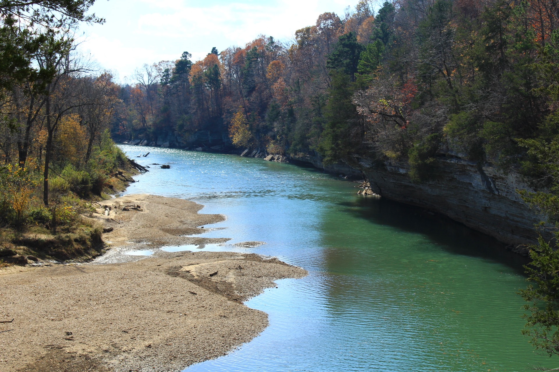
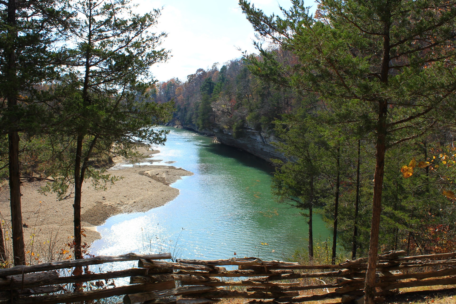
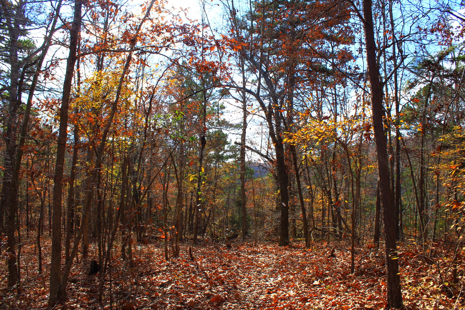
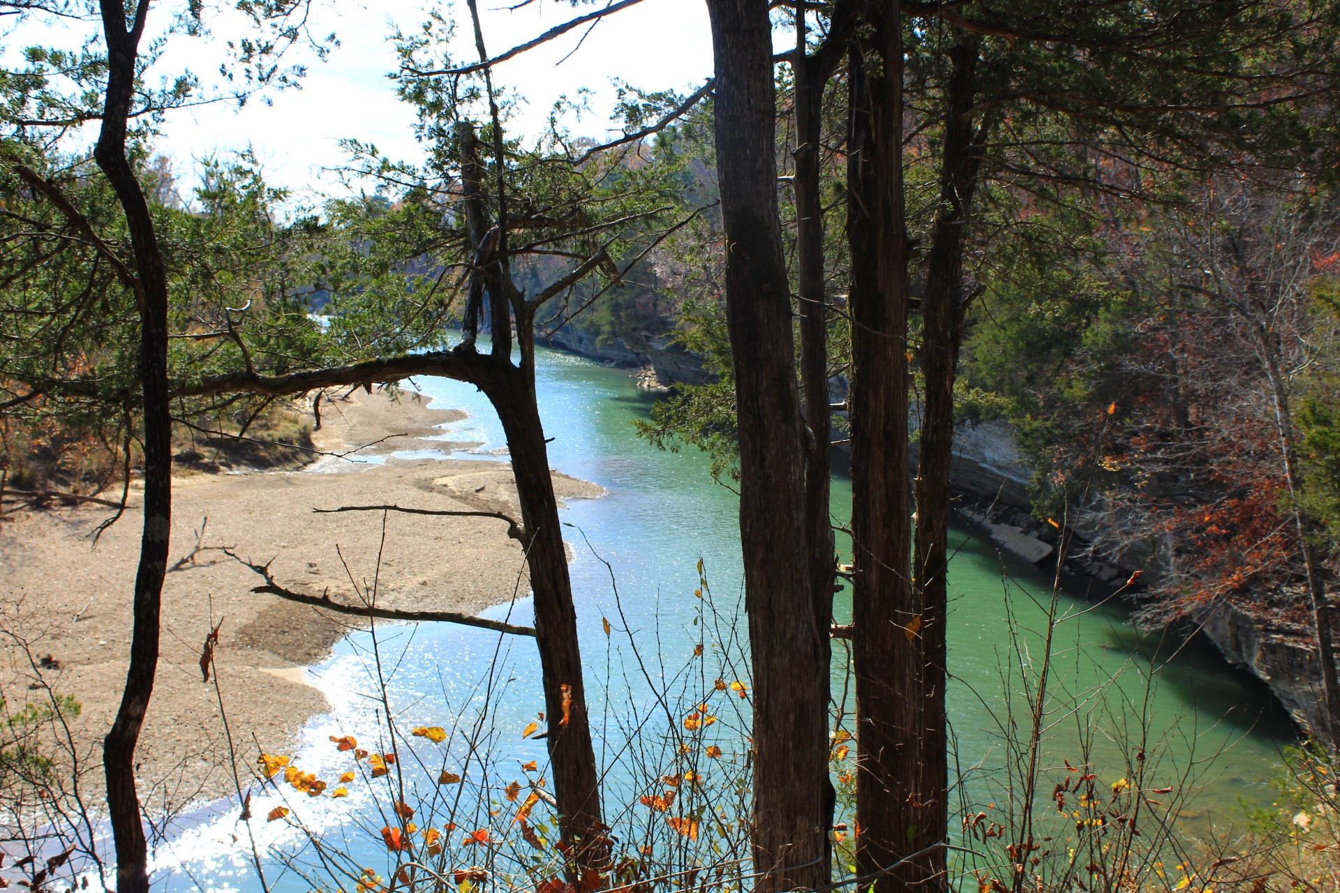
About another .4 miles past that overlook is the prettiest view of the hike–the War Eagle Creek Overlook. Here there is a beautiful wide open view of a bend in War Eagle Creek. If you have been to the War Eagle Mill, this is the creek that runs next to the mill.

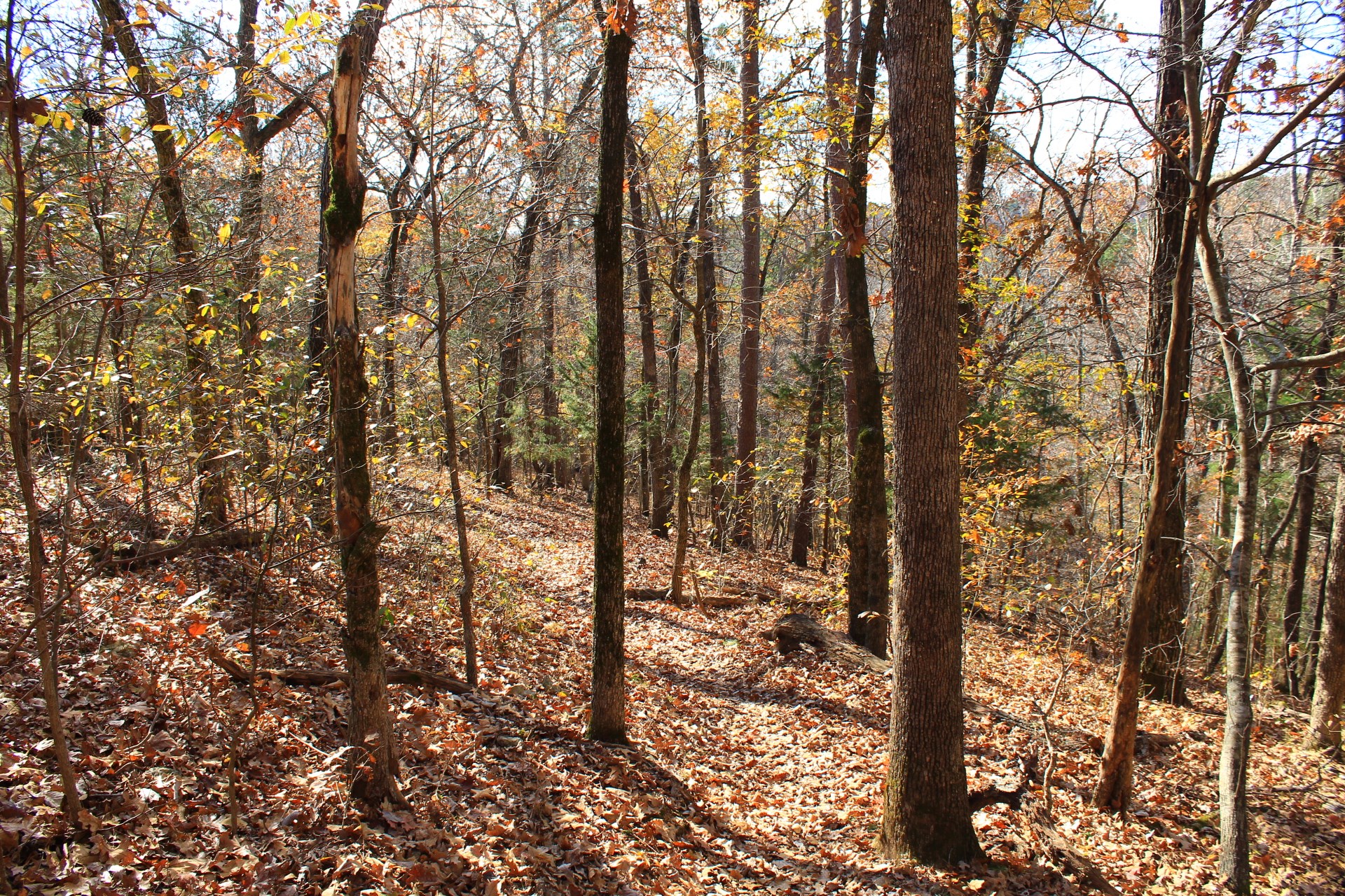
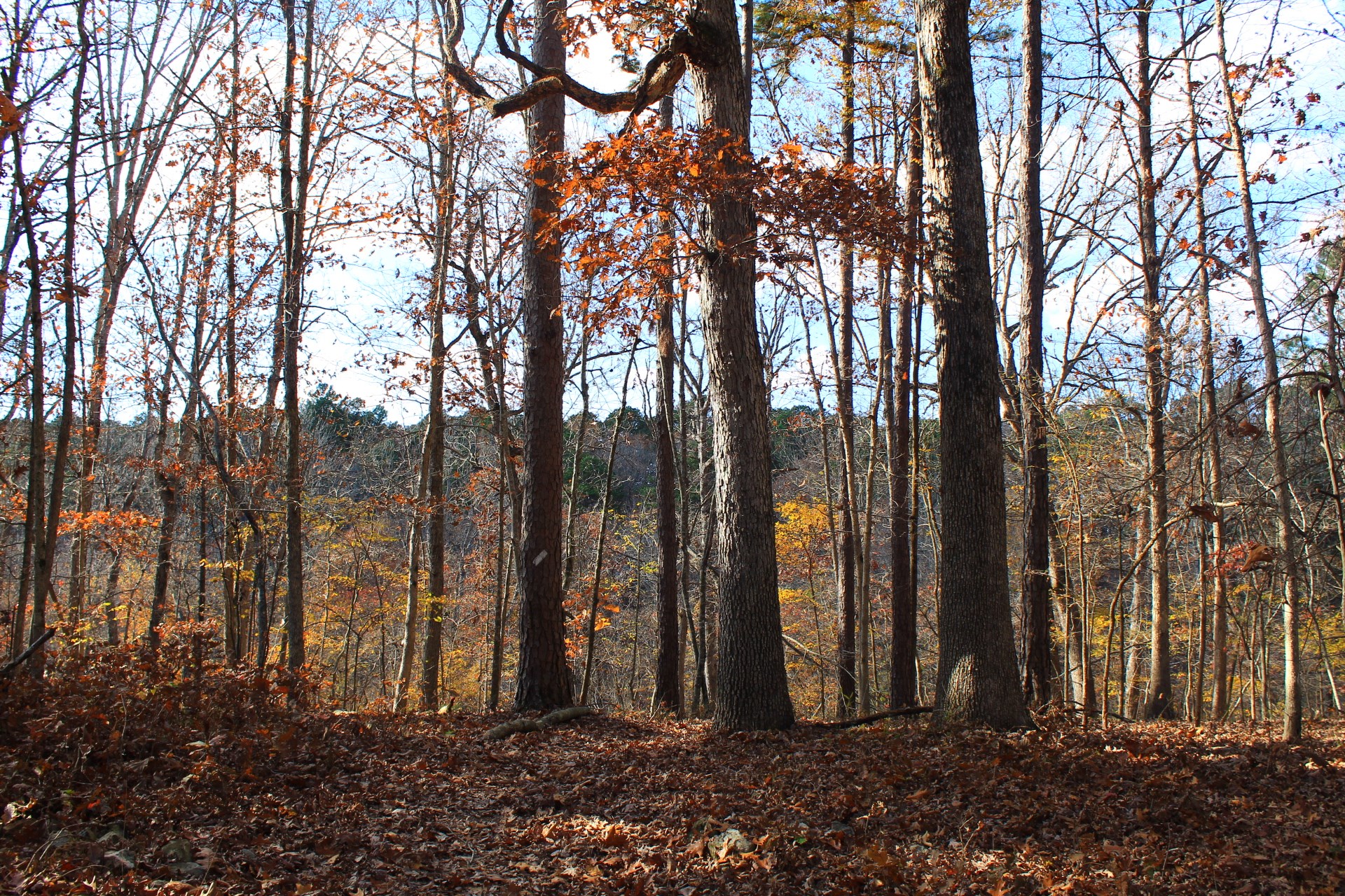
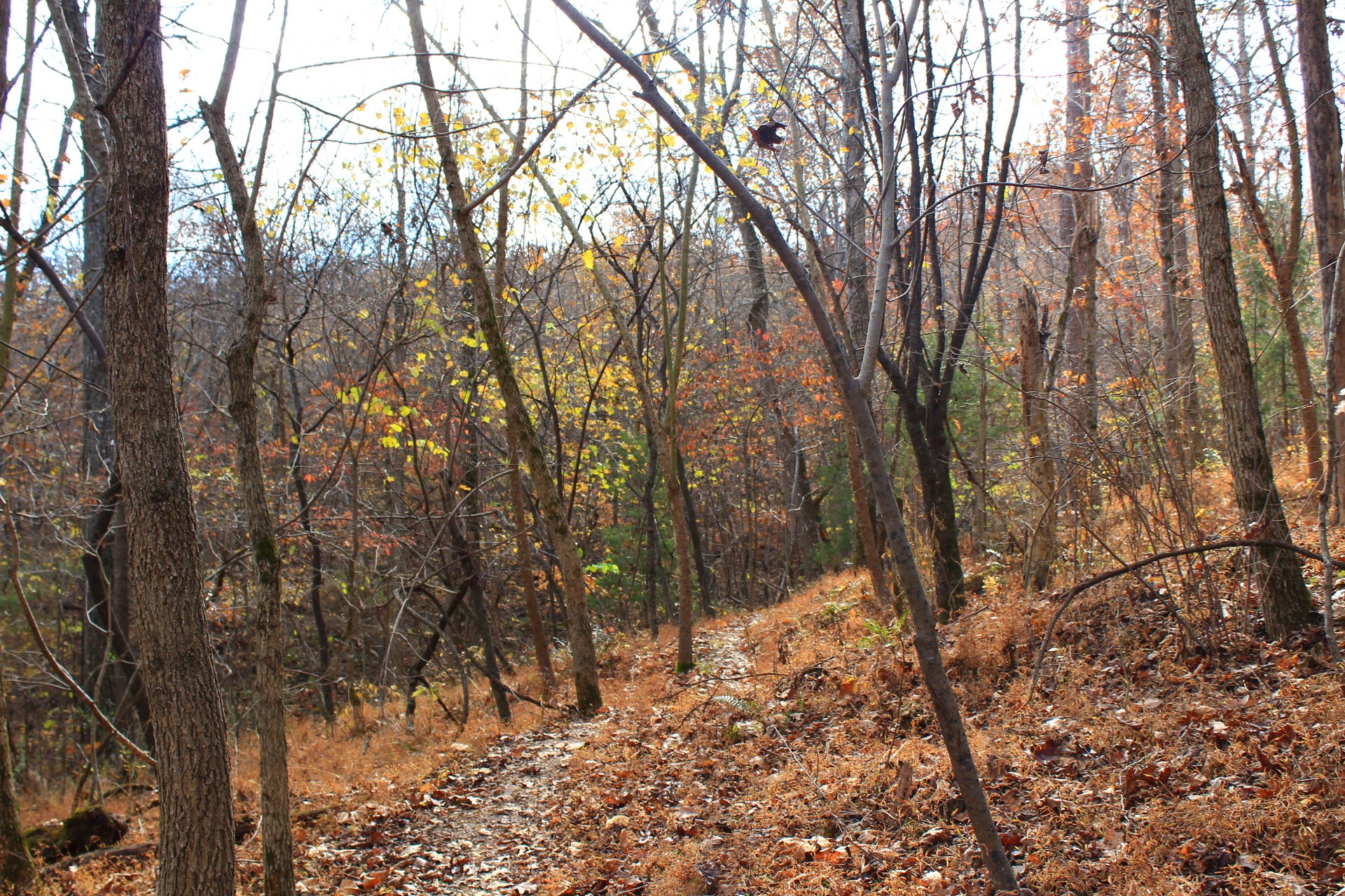
At around 2 miles, there is a pretty cool area that goes for about a half mile where the trail heads downhill into a long hillside stretch that overlooks part of a seasonal stream bed. Of course, this kind of area is even prettier when the water is flowing.
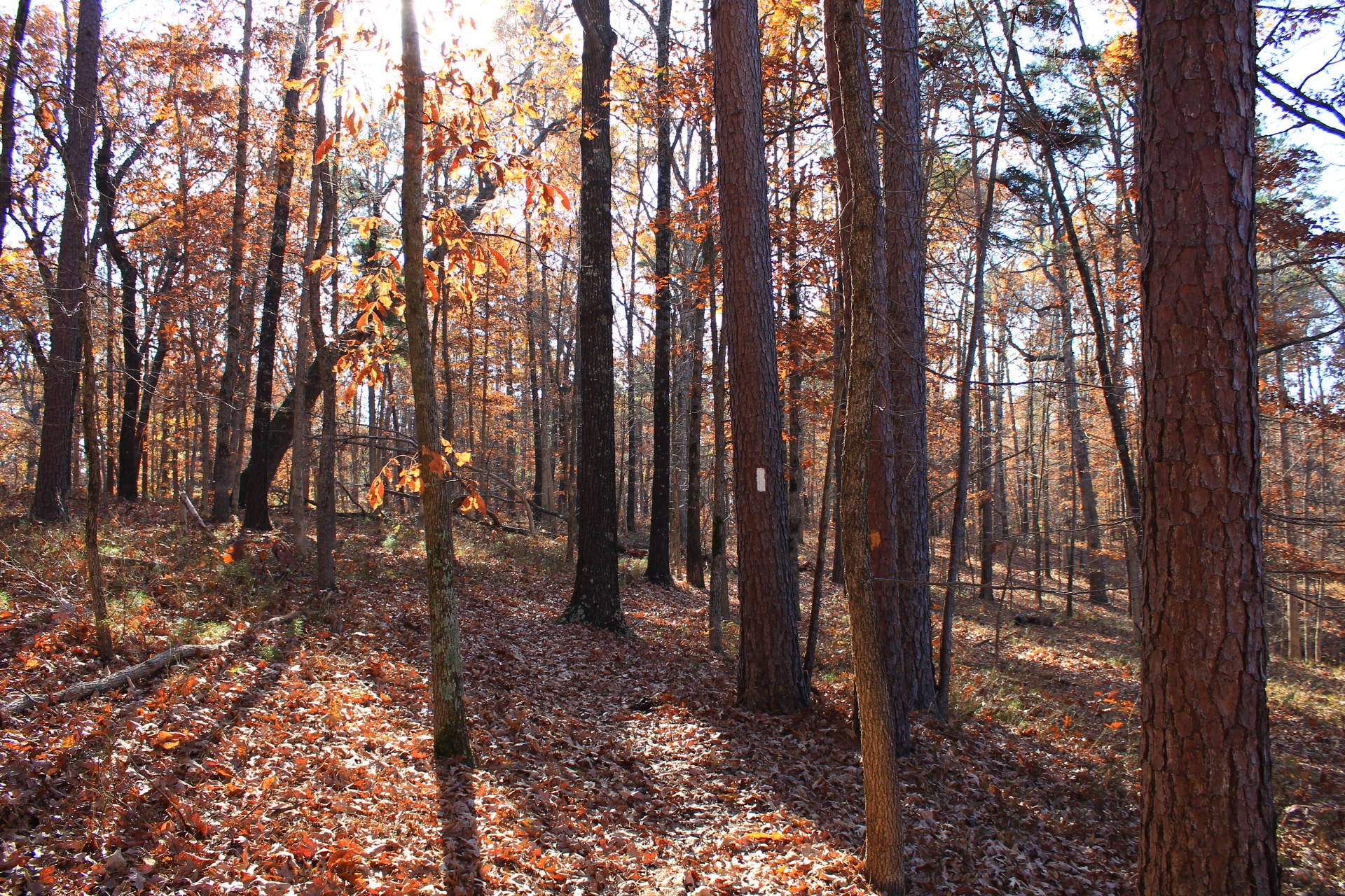
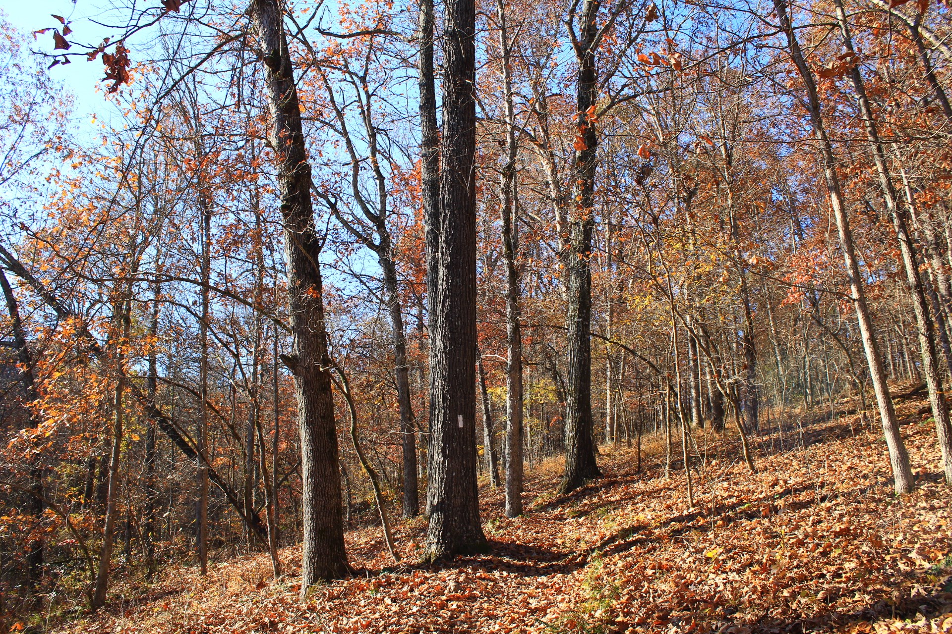
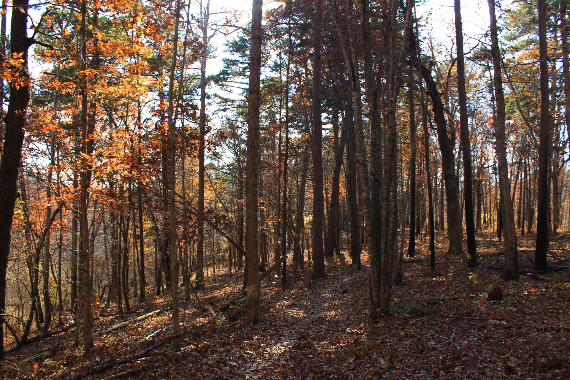
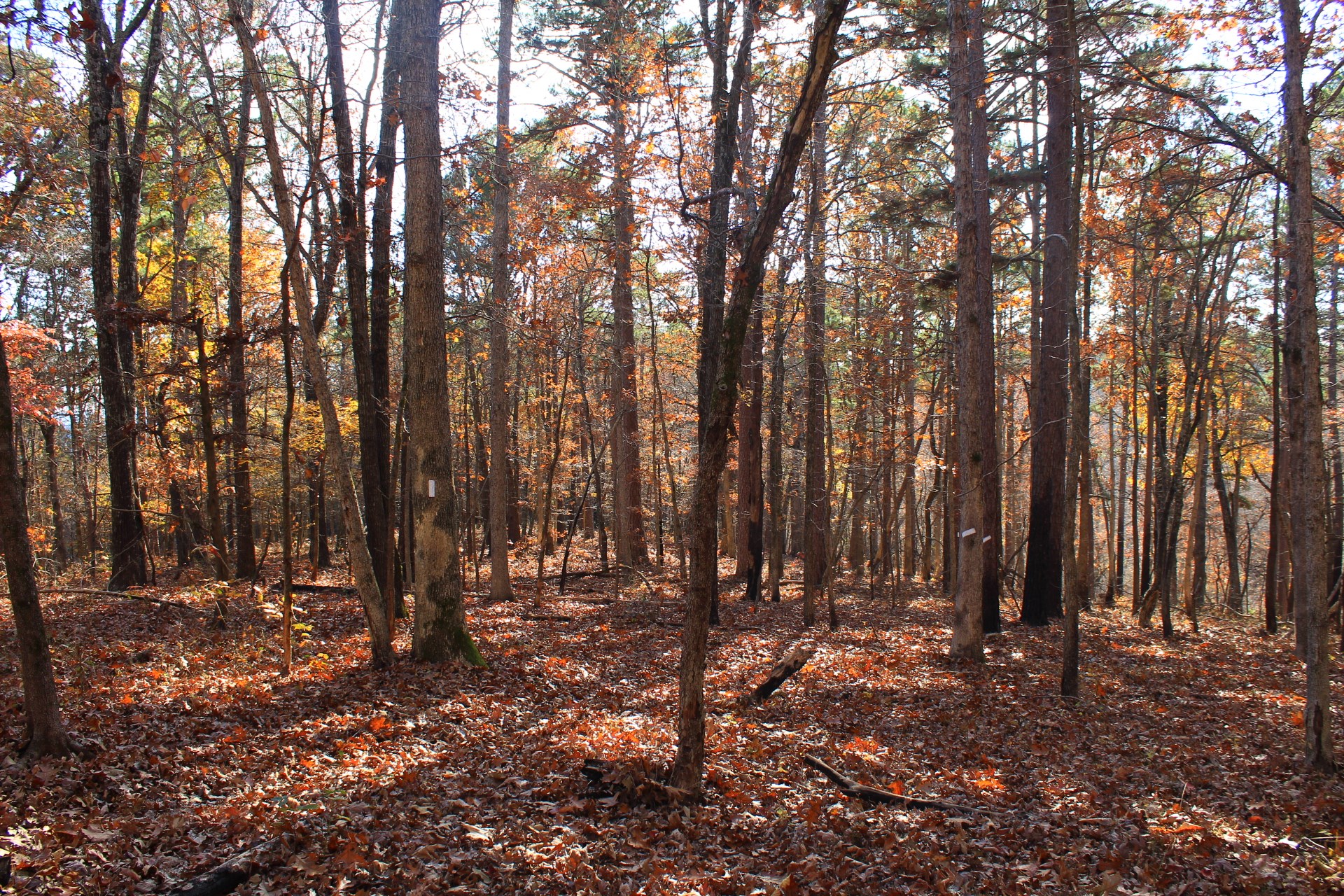
One thing that I’m not a fan of with a lot of the trails at Hobbs is that often they will find a ridge and then stick to it for a long time instead of climbing up and down which would be more interesting. (Probably that works well for mountain biking though.)
But then there are areas like this stretch of War Eagle Valley Loop where the trail actually does climb into and out of some valleys making for an interesting and scenic hike.

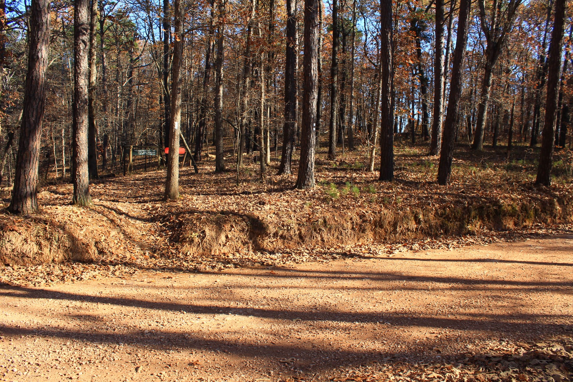
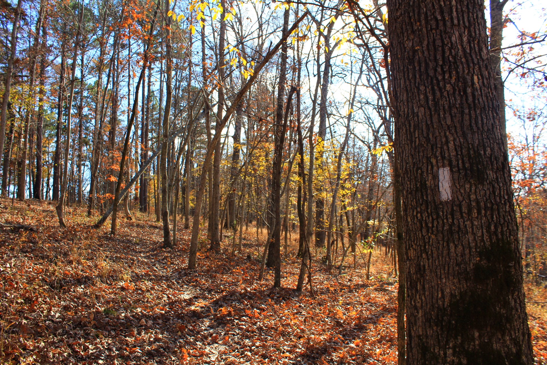
At around 4.7 miles, the trail hits the junction with Little Clifty Creek Loop. At this point you make a left turn, and the hike is also Little Clifty Creek Loop the rest of the way.
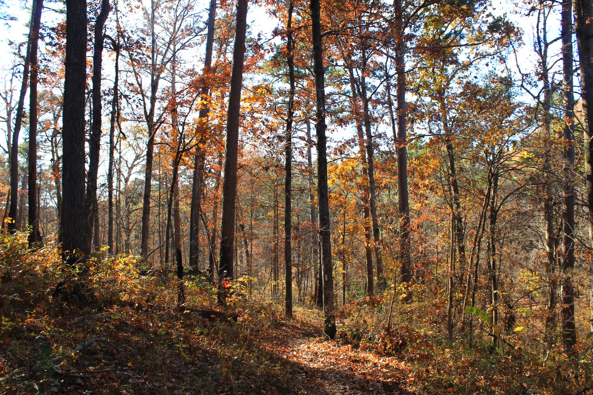
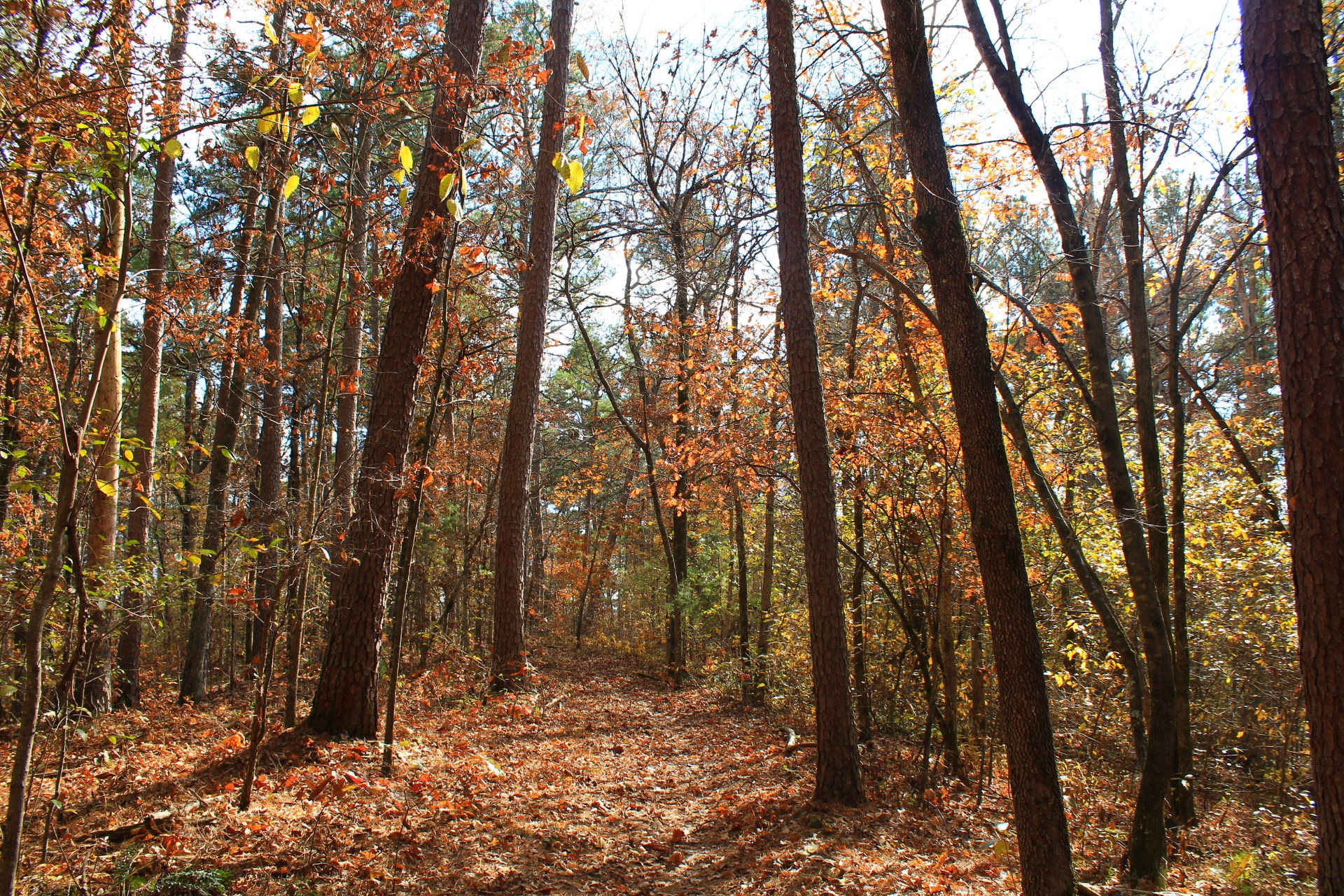
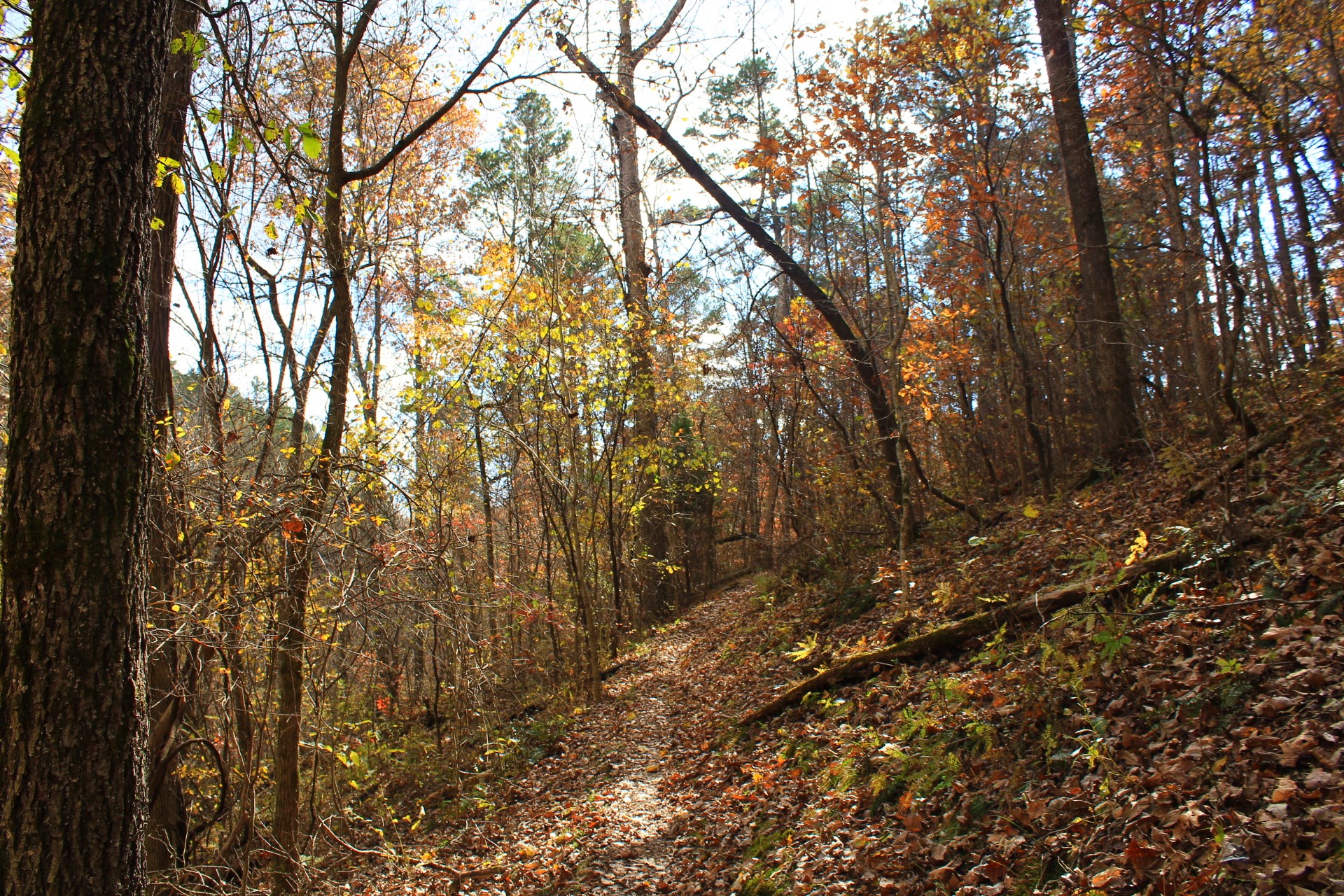
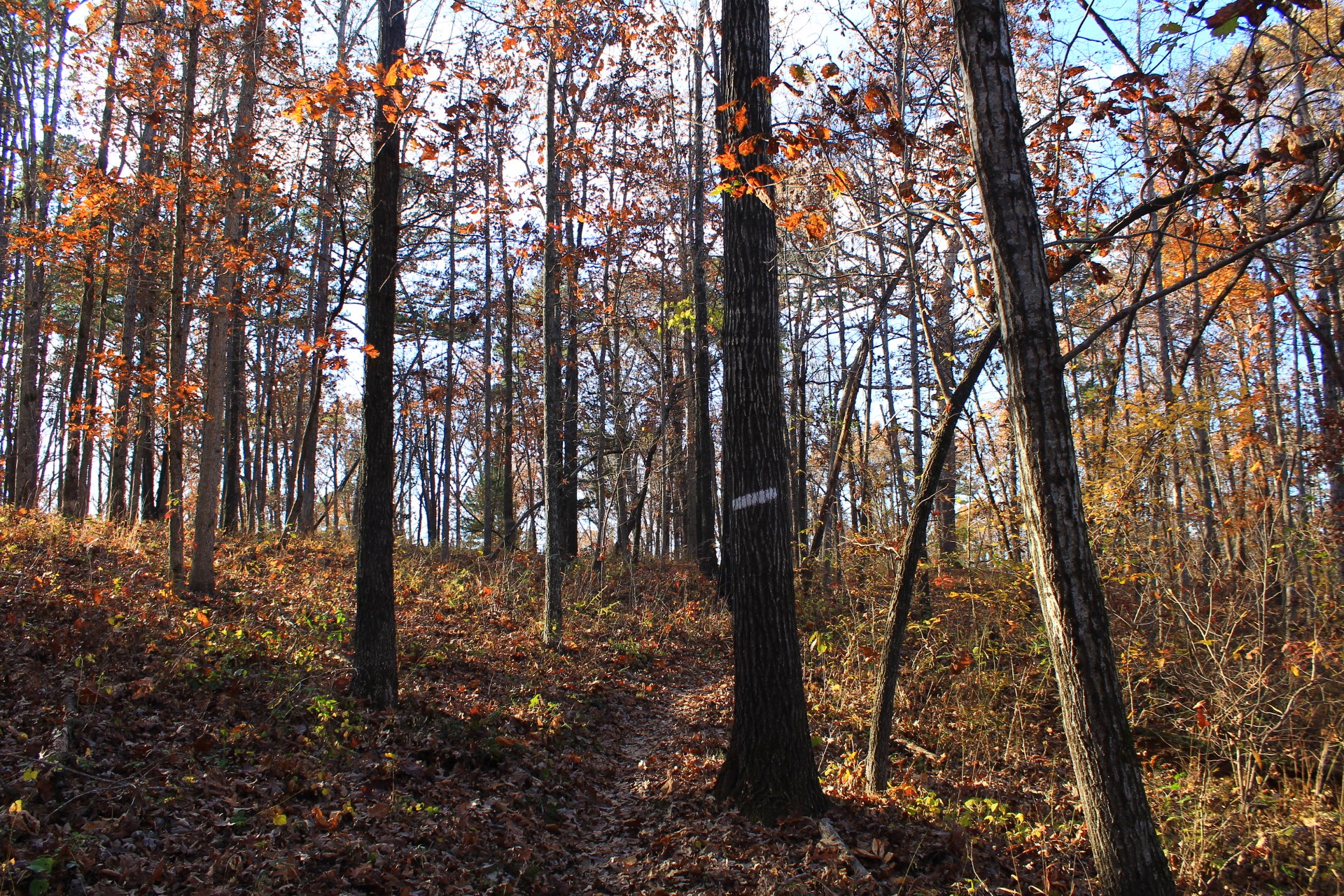
Most of the rest of the hike runs parallel to and not that far from Townsend Ridge Road.
At around 6 miles, the trail arrives back at the initial spur. Take a right here to get back to the Townsend Ridge trailhead parking area.
Final Notes
I had AT&T cell coverage about 75% of the time on this hike.
These photos are all from my November 7, 2020 hike.
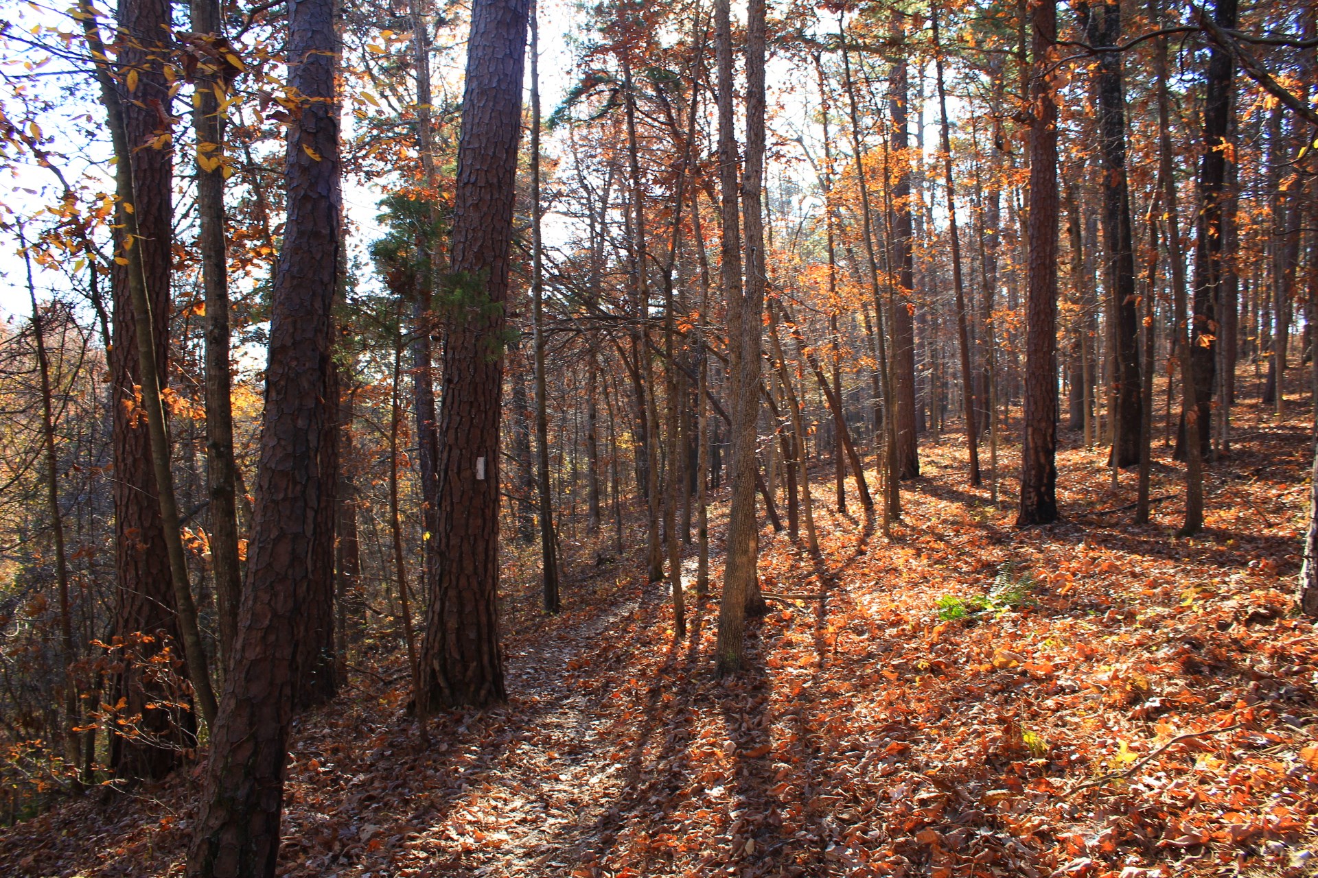
Photo Gallery
Click below for full-screen gallery of these plus more pics from my November 7, 2020 hike.

Map
Hobbs: Hidden Diversity - War Eagle Valley Loop |
|
|---|---|
| Location | Hobbs State Park-Conservation Area, Benton County, Arkansas |
| Hike Length/Type | The hike is a total of 6.3 miles. Most of it is a loop, but there is an initial spur of .3 miles which is repeated at the end of the hike. |
| Difficulty | Moderate (3 of 5). |
| Other Permitted Usage | Mountain bikes; Horses; Pets on a leash. |
| Gpx file by Mike | Link |
| Date Hiked | 9-7-2020 (and earlier) |
| Directions to Trailhead. | Google Maps Directions to the Hobbs Townsend Ridge Road Trailhead |
| Official Info | (479) 789-5000 Website Official Hobbs Hidden Diversity Trail Brochure (pdf) |