
Robinson Point Trail is a beautiful 3-mile hike at Robinson Point Park in Baxter County near Mountain Home. It gives you amazing views of Lake Norfork as well as the beauty of the Ozark Mountains.
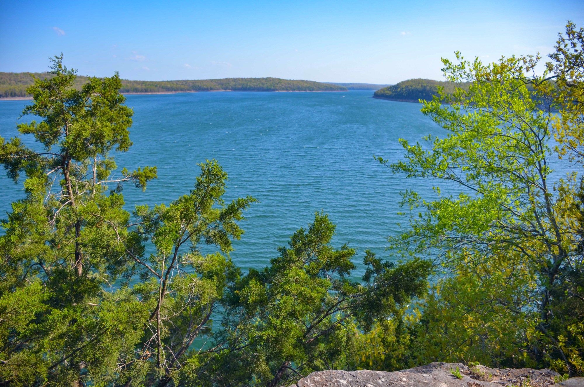
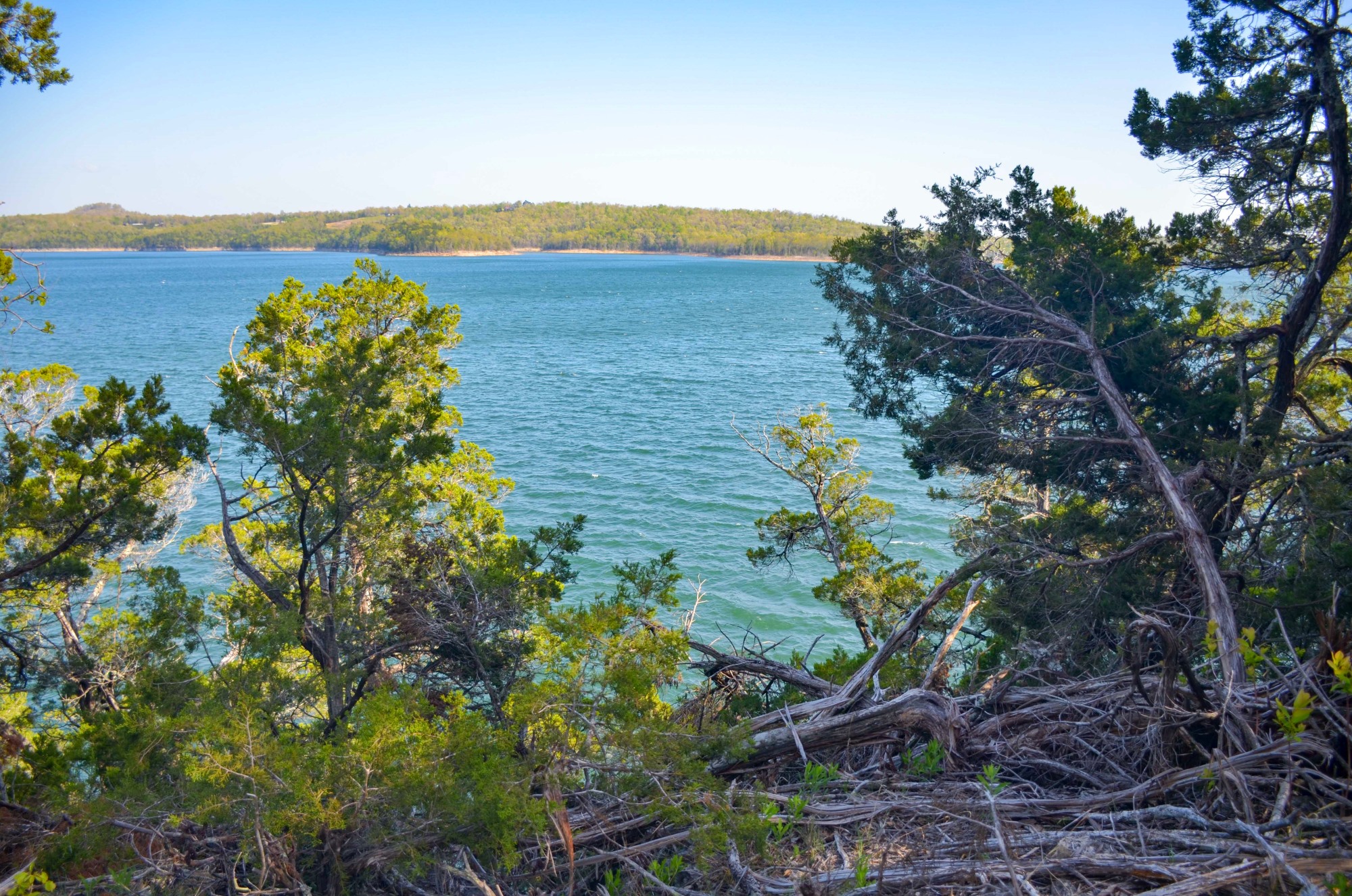
Robinson Point Trail takes you through tunnels of cedar groves to endless views of turquoise and blue as the trail follows the curves and coves of Norfork Lake.
It is a lollipop loop (semi-loop), and is managed by the Corps of Engineers. It is a part of the Ozark Highlands Trail although not yet connected to the western sections.
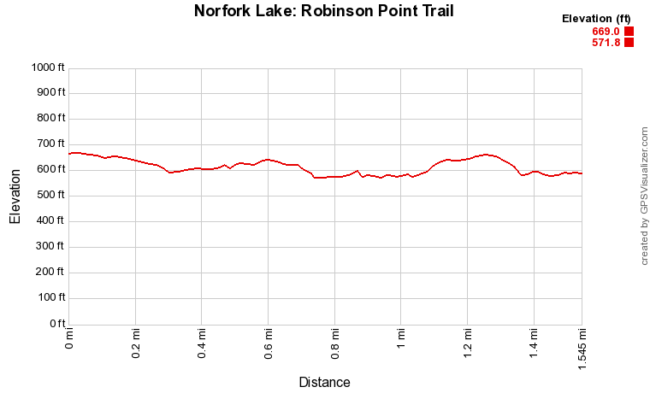
Although the trail doesn’t have a lot of elevation gain, it does dip down and into some gullies and back up rather steeply. In some places, there is loose rock making footing a little tricky.
Overall, it is a fairly easy trail.
Getting to the Robinson Point Trailhead
To get to Robinson Point Park, take U.S. Highway 412/62 east from Mountain Home. After about 5 miles, take a right on Robinson Point Cutoff then a left on Robinson Point Road.
After 1.5 miles, the main trailhead (with parking) is on the right just before the entrance gate to the campground.
Those camping at Robinson Point can access the trail from behind the bathhouse near campsites 71 to 99.
Even though I was camping at the park, I started at the official trailhead so I could explore more of the forest.
The Hike – Trailhead to Lollipop Loop
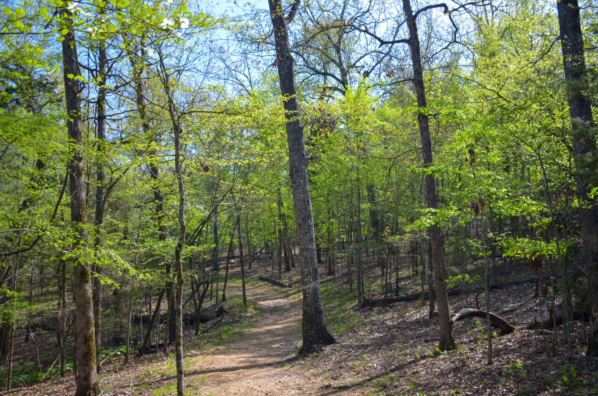
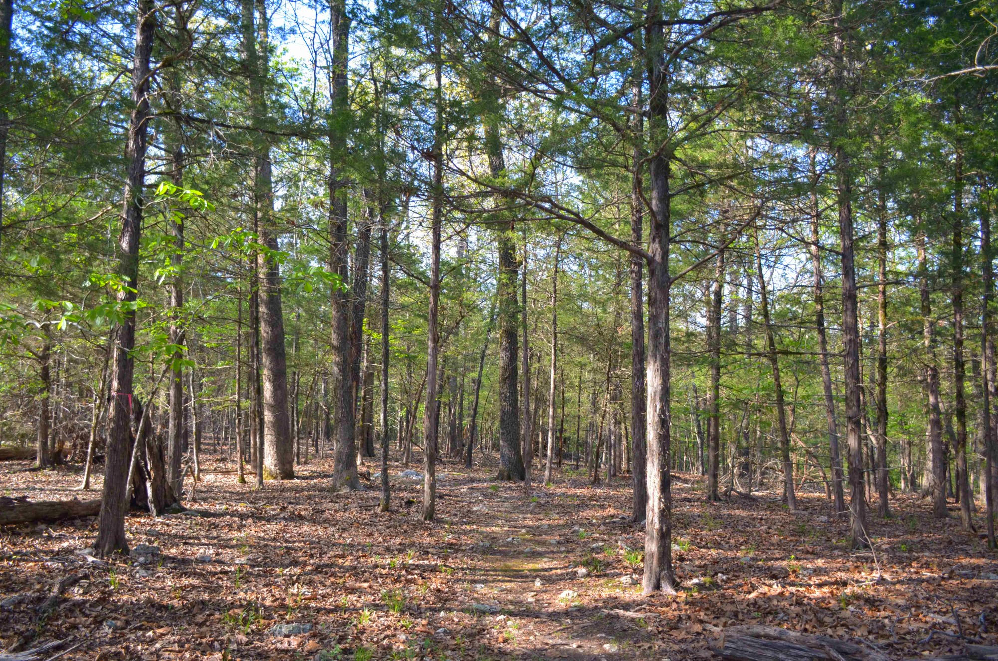
The trail begins relatively flat and wide for easy walking.
After 0.25 miles, there is a bench and a fork in the trail. If you go straight, you will end up at the campground. Here, you want to go to the right to stay on the Robinson Point Trail.
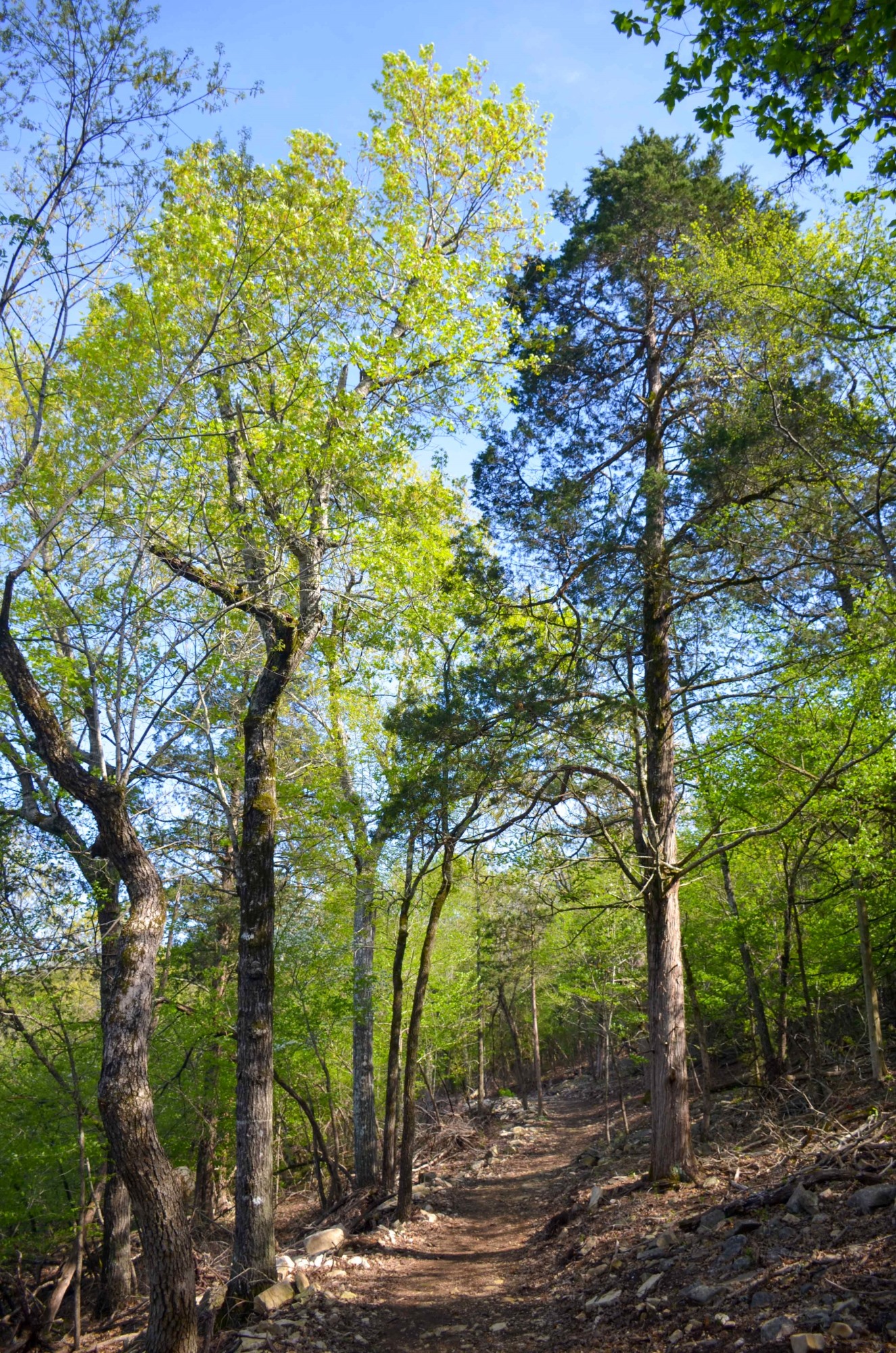
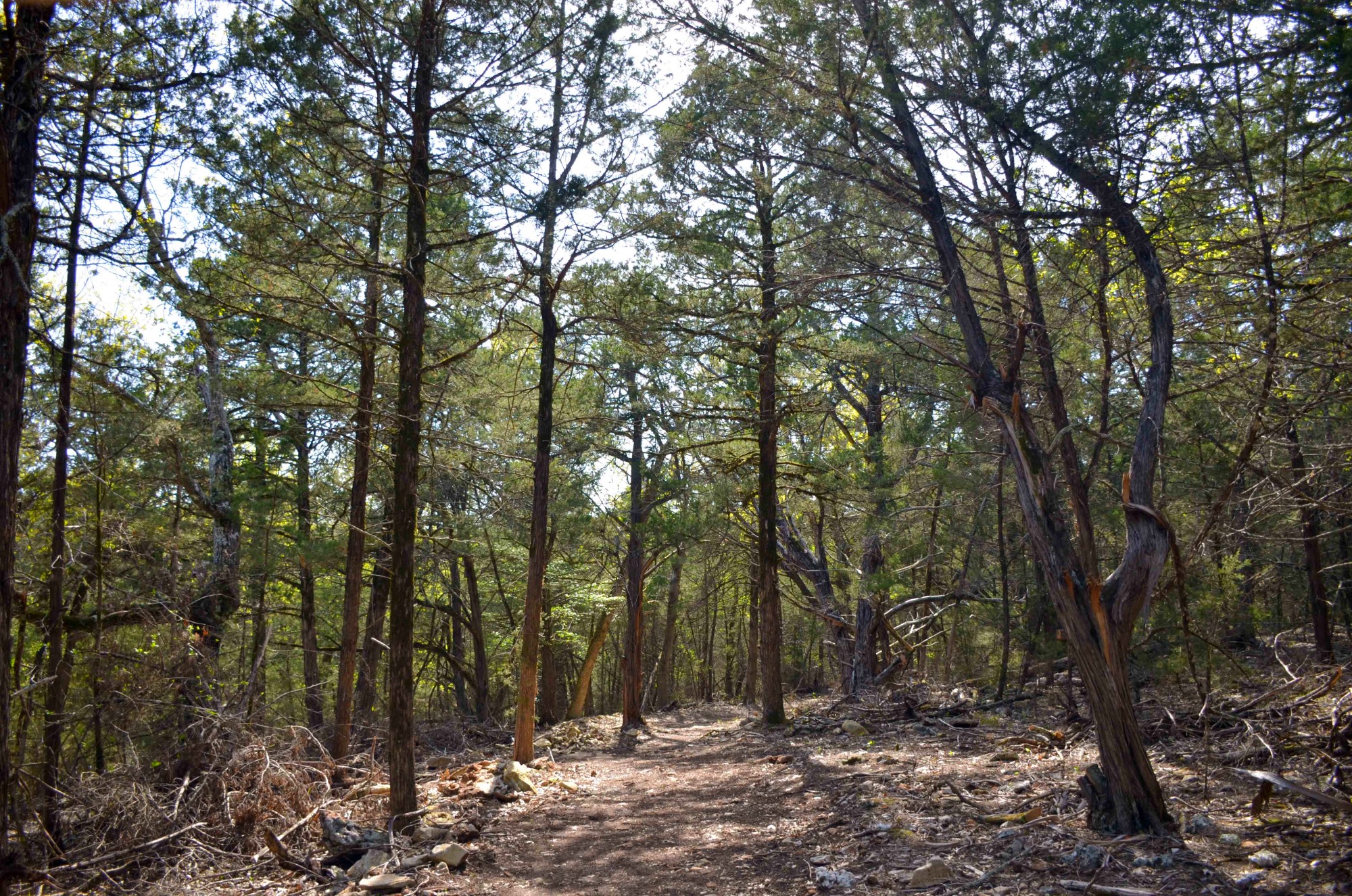
The trail snakes around a cove of Norfork Lake. Then you go through a few groves of cedar trees where it seems like they shelter the trail. You get glimpses of the lake from higher up on shore.
At mile 0.7, the trail begins to head down into a gully and another cove of the lake. Here you come close to the water.
On the park’s brochure, it has a footbridge listed here. However, I did not cross a footbridge. I did notice quite a bit of trail work had recently been done which may account for its not being there.
The trail continues to snake around the cove. At around mile 0.9, you can look across the cove and see where you just hiked.
At mile 1.14, you pass the intersection with the return portion of the lollipop for the lollipop loop. Here you can go right or straight. Either way, you’ll end up back here. However, the trail going straight (clockwise) is much more defined and easier to see. So I chose to hike that way.
Lollipop Loop to Trailhead
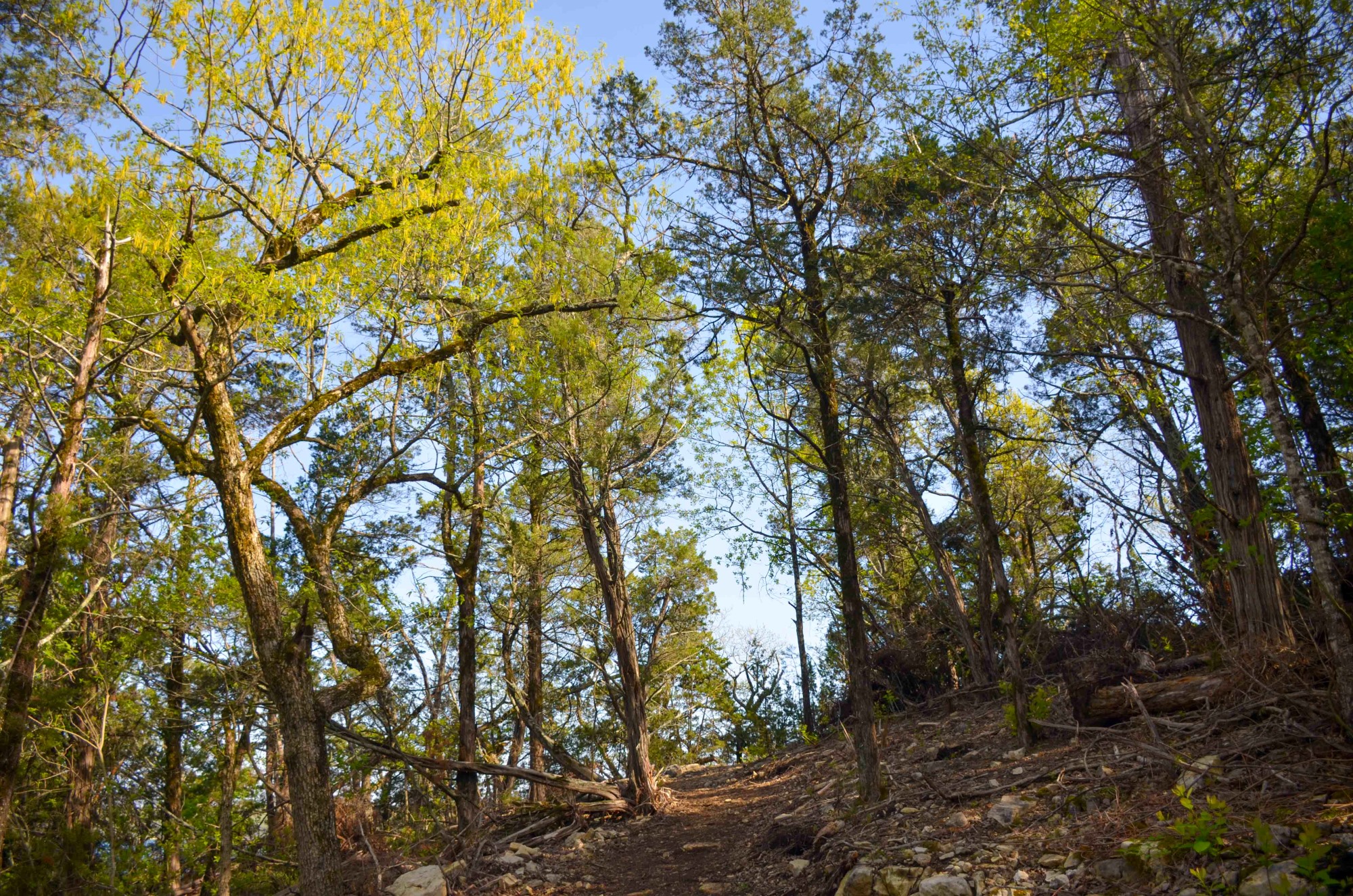
As you head straight, the trail begins to climb slowly and become rockier. The trail hugs the shoreline it goes progressively higher above the water.
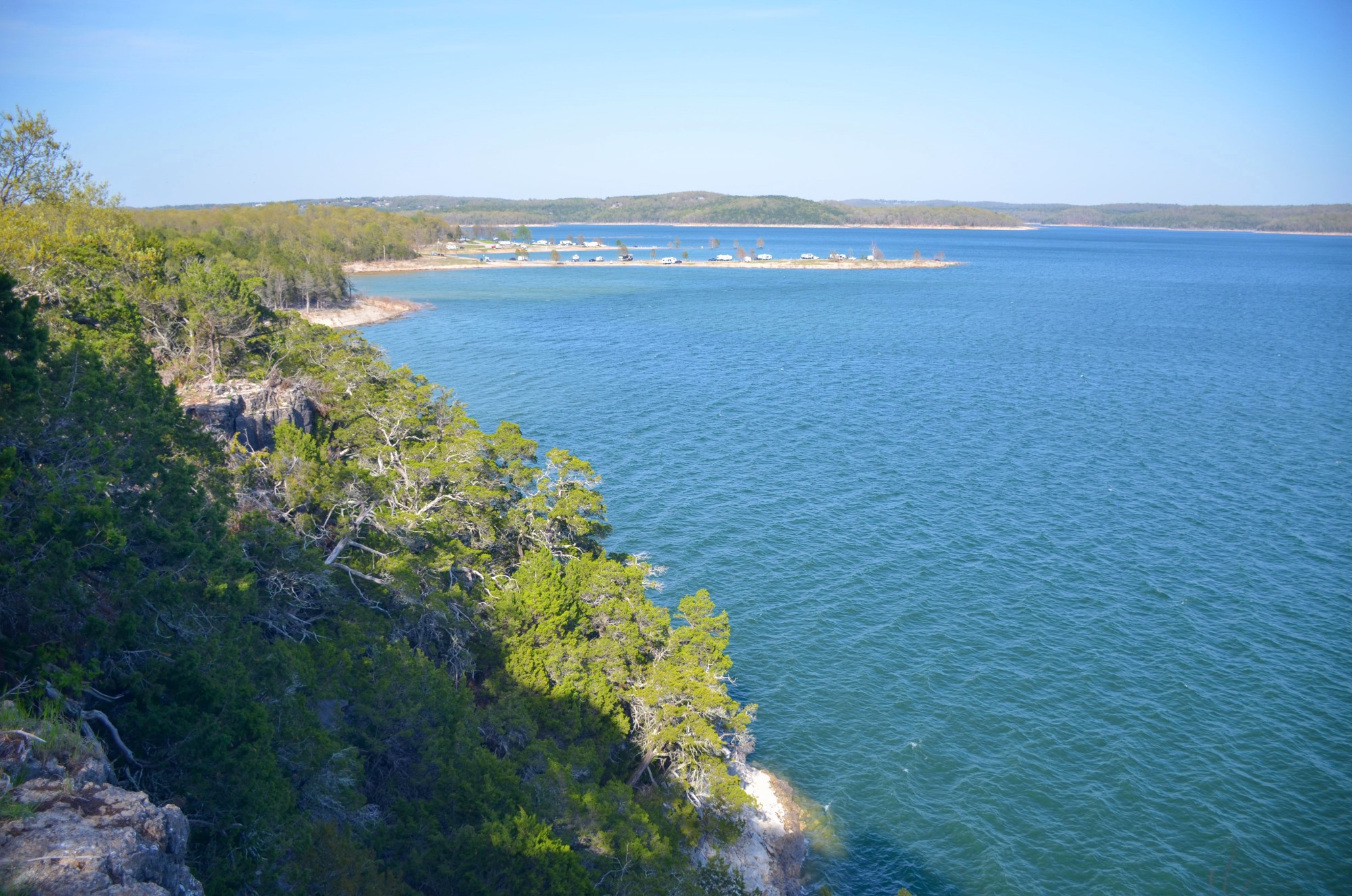
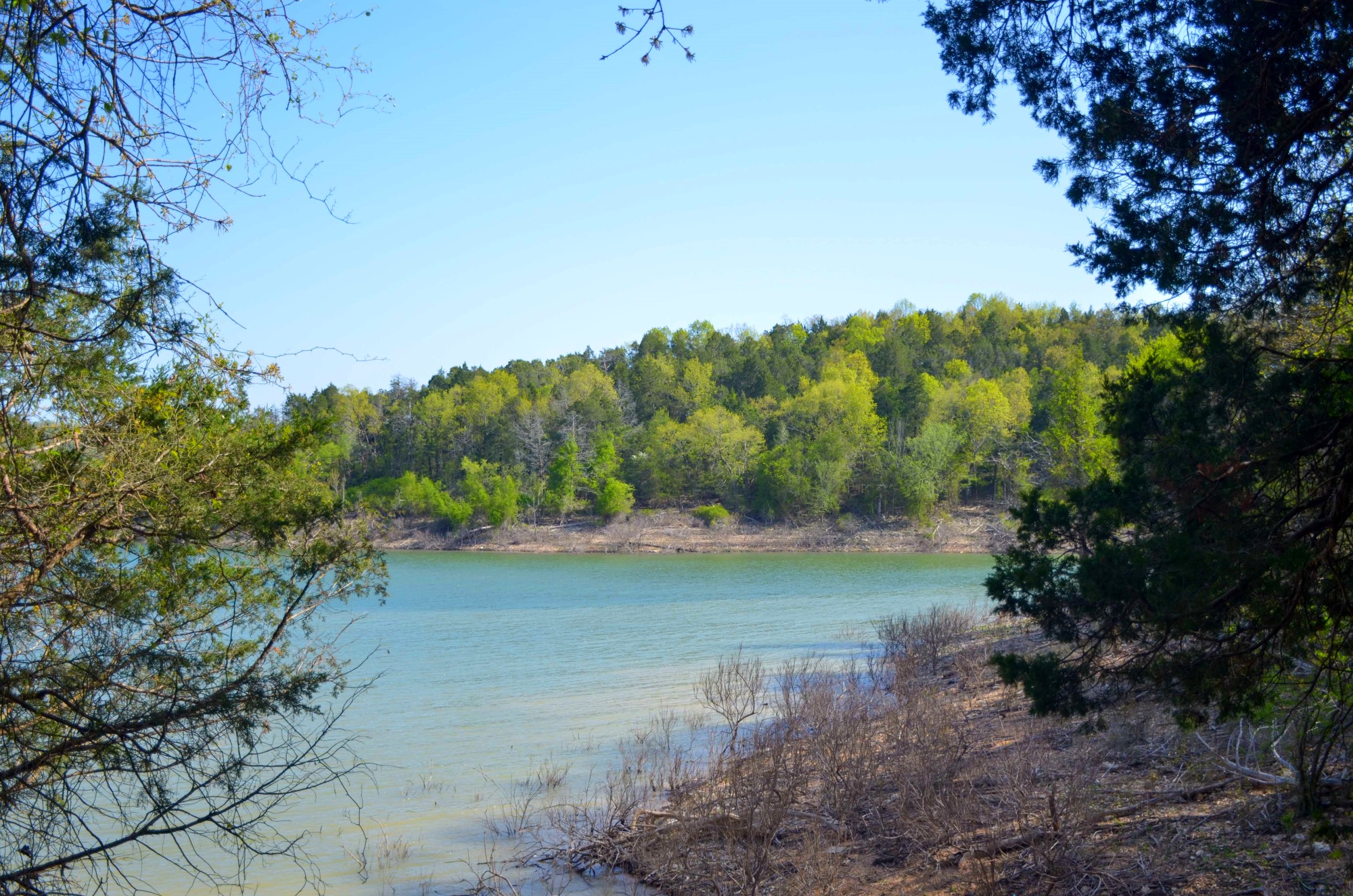
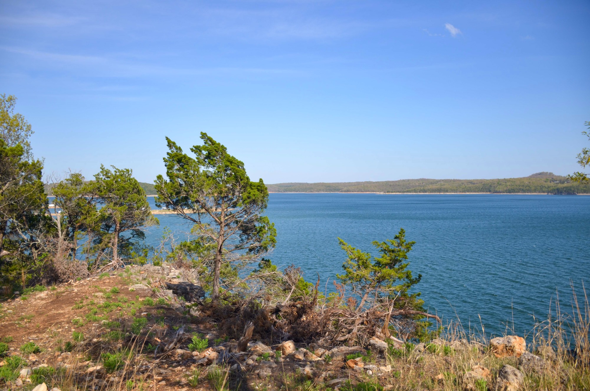
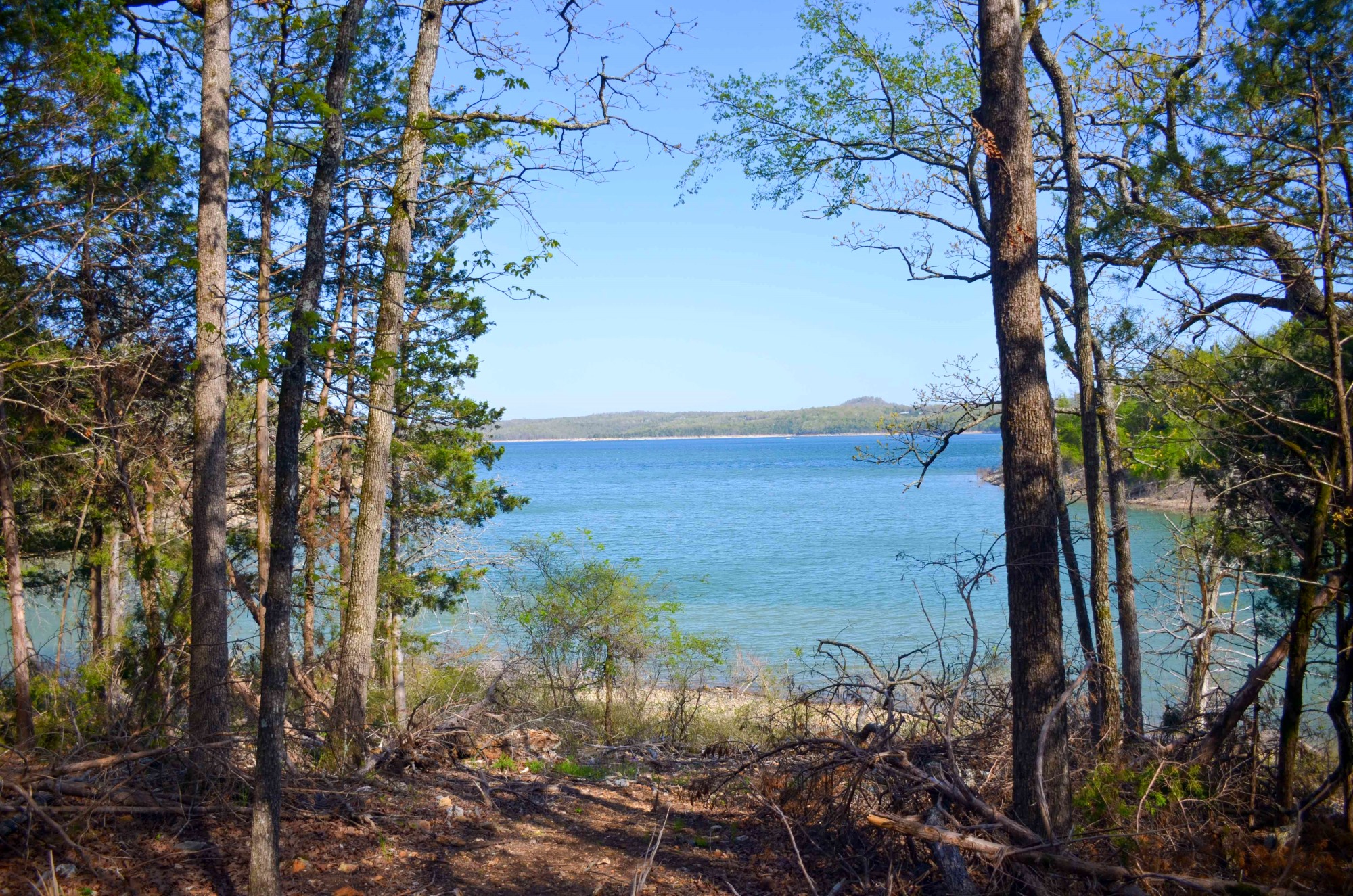
Around mile 1.3, the trees open up, and you get some amazing views of Norfork Lake.
You can see the cliffs from the side and the lake far below. The trail continues to climb and gives you more views from the top.
Around mile 1.38, you get a great view. Caution: Be careful in this area as these are high cliffs with no safety railing.
There is some safety railing a little farther down the trail at mile 1.45 for those not so fond of heights.
The trail gets a little confusing here. You have the option to continue to follow the shoreline or head away from the lake. When I hiked this trail, there were no trail markers. But as I noted above, they were doing work on the trail.
Hopefully, someday you will be able to continue to follow the shore and hike all the way west to Mountainburg via the Ozark Highlands Trail.
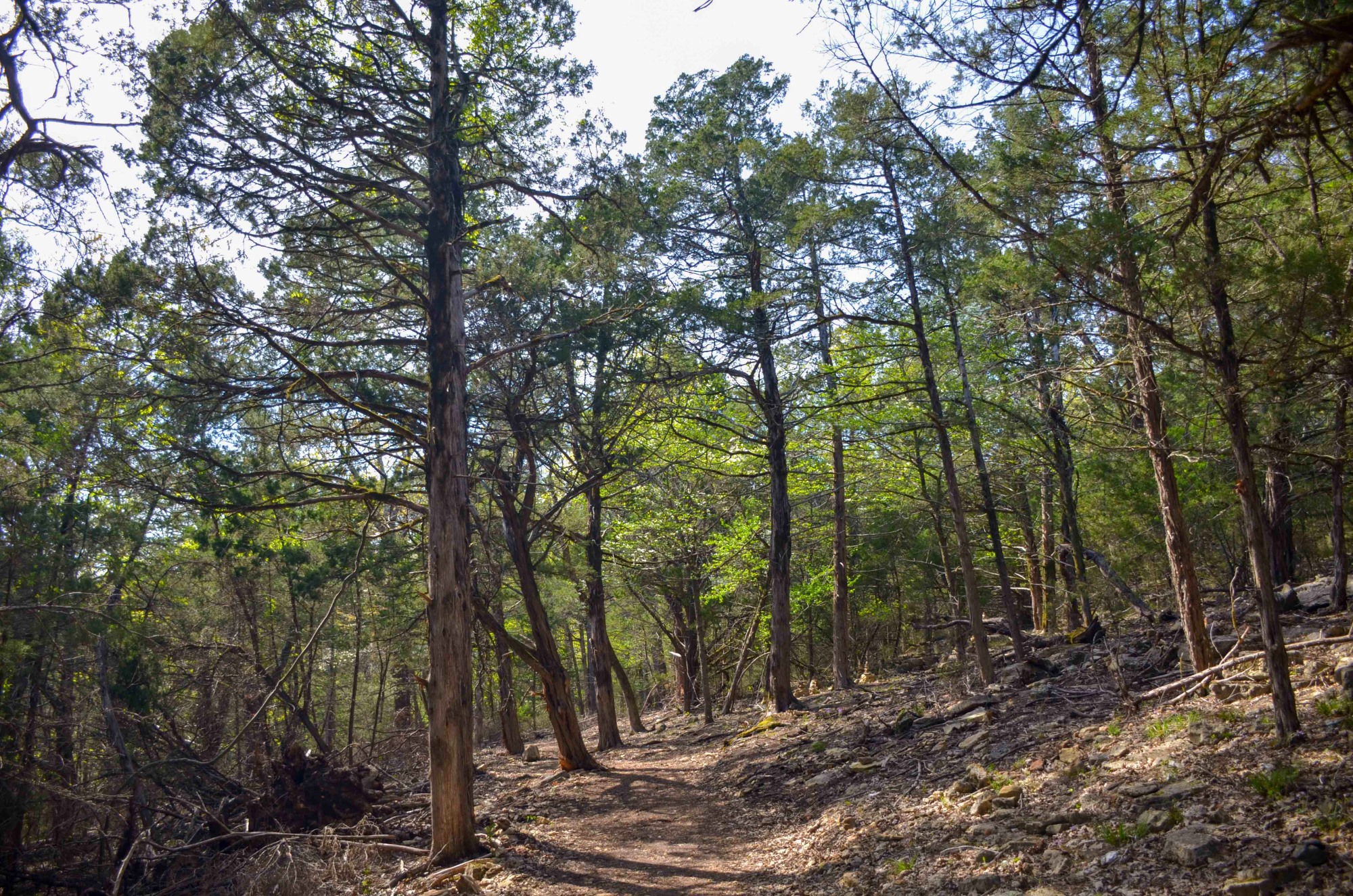
You will hike away from the cliffs and into the forests as you continue on the Robinson Point Trail. Here, the trail takes you through some lovely woods.
At mile 1.65, you come back to the stick portion of the lollipop loop.
From here, you simply retrace your steps back to the trailhead. You can enjoy seeing it from a different angle.
Ozark Highlands Trail and David’s Trail
Robinson Point Trail is a part of the Ozark Highlands Trail as well as David’s Trail. According to an article in Backpacker Magazine, the Lake Norfork portion of the Ozark Highlands Trail is still under construction. The 13-mile Lake Norfork Trail (pdf link) and the 17-mile David’s Trail are a part of the completed portions.
Although Robinson Point Trail does not connect with the Lake Norfork Trail, it is a part of David’s Trail.
Final Notes
I learned about Robinson Point Trail in Tim Ernst’s book, “Arkansas Hiking Trails.”
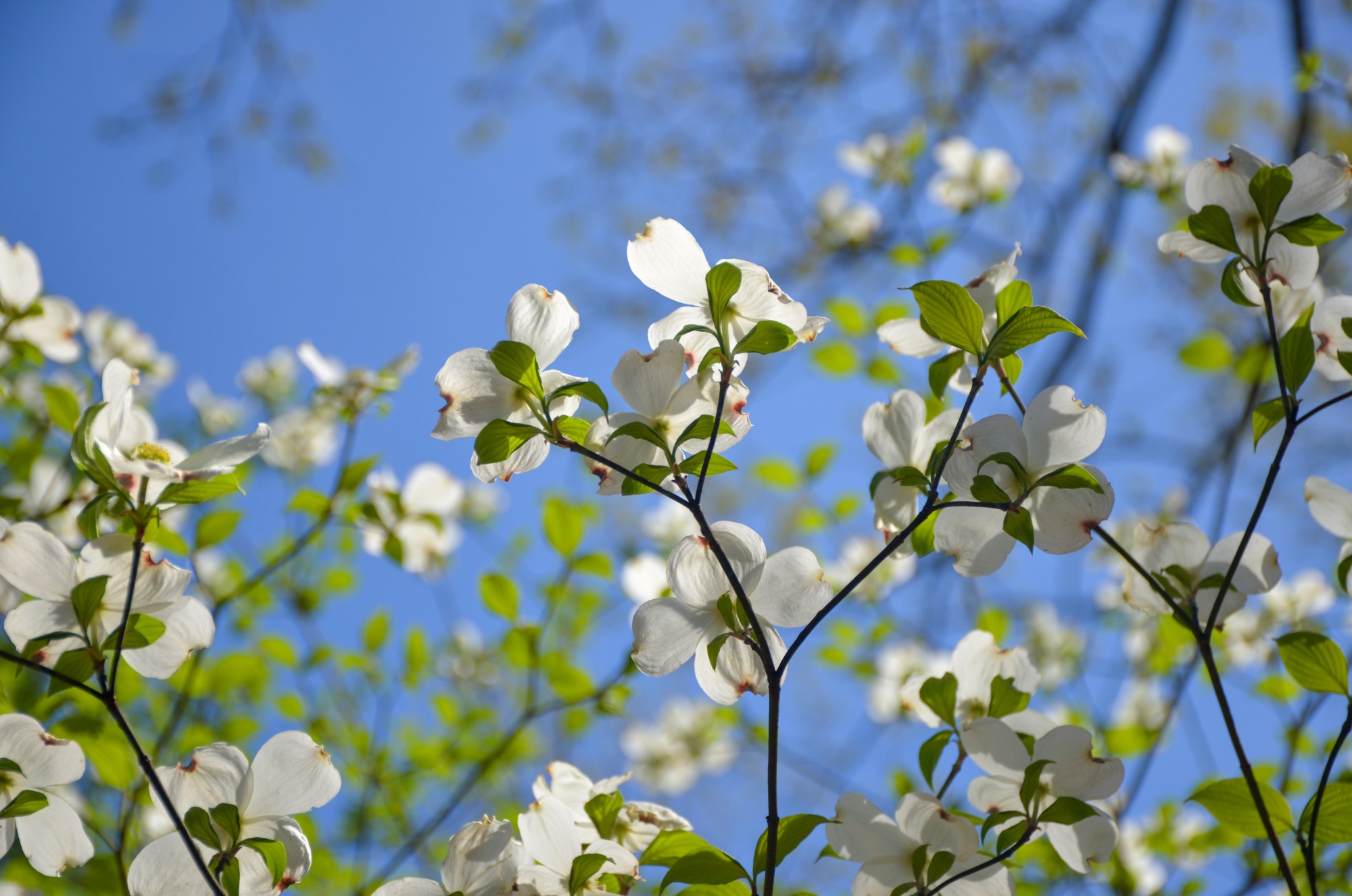
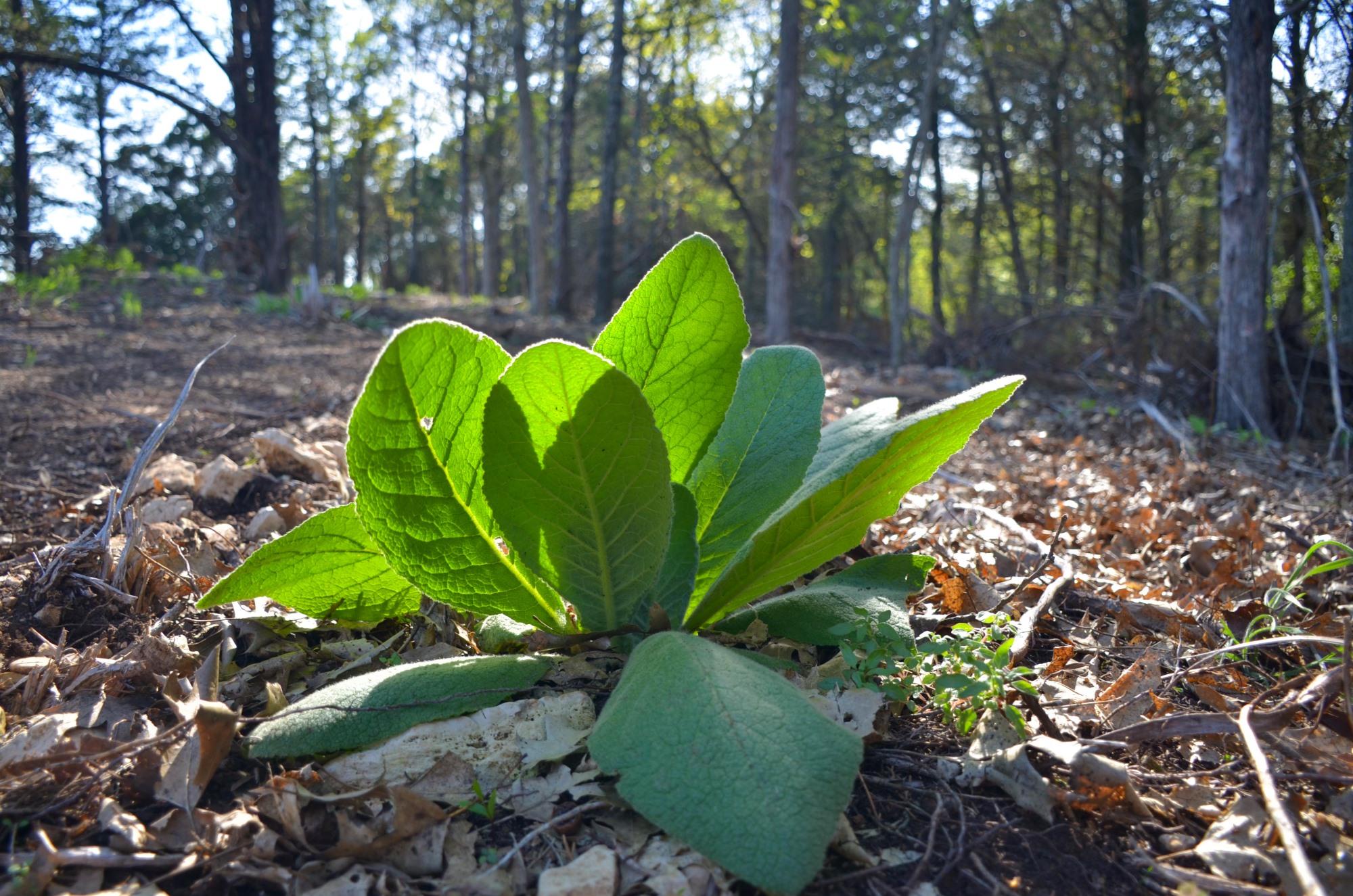
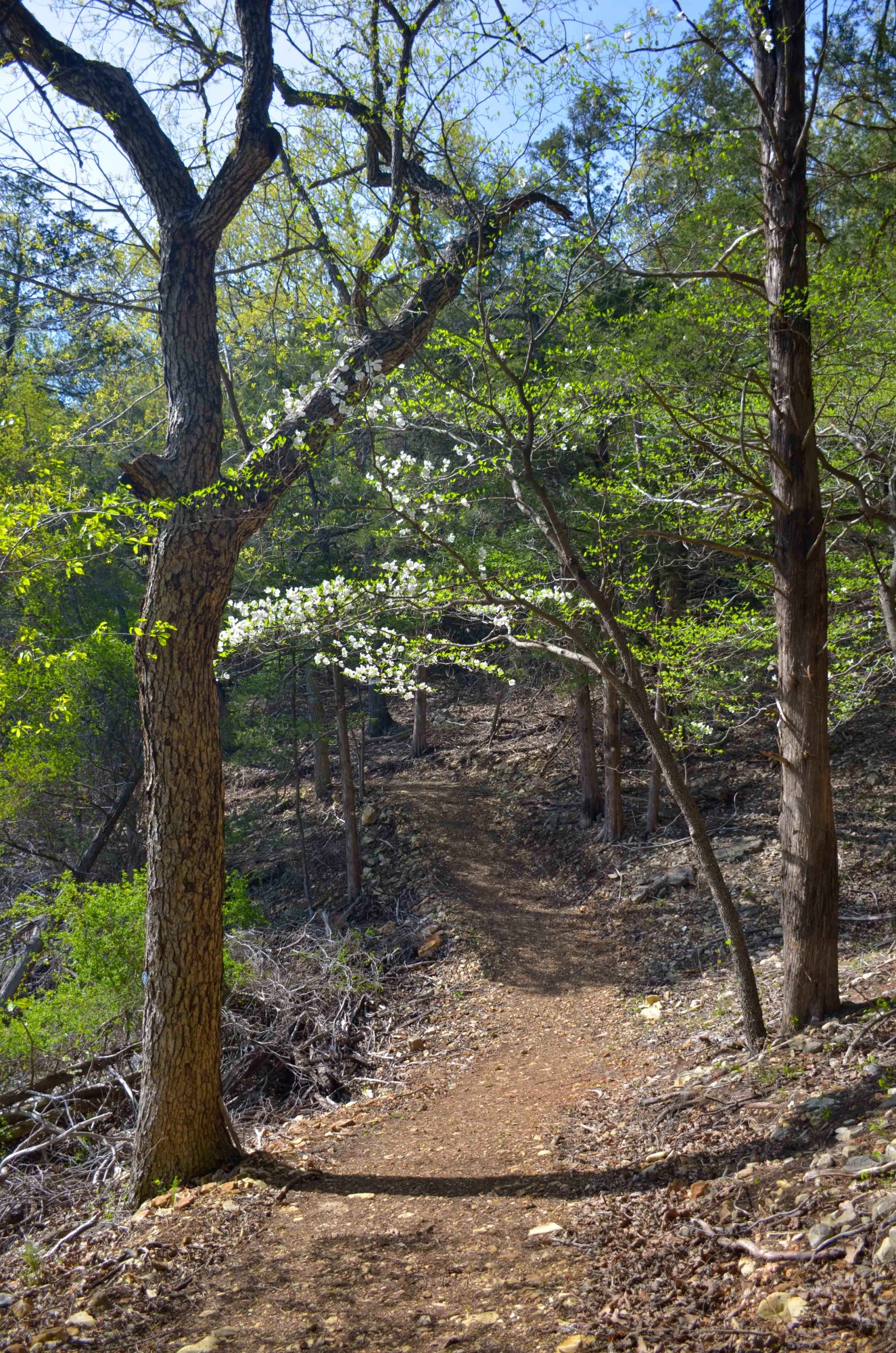
The trail is great in every season, but it is especially beautiful in the spring and fall. Wildflowers bloom all throughout the trail, and plentiful hardwoods and sweeping views make for an excellent showcase in autumn.
The elevation change between the high and low points is only about 100 feet.
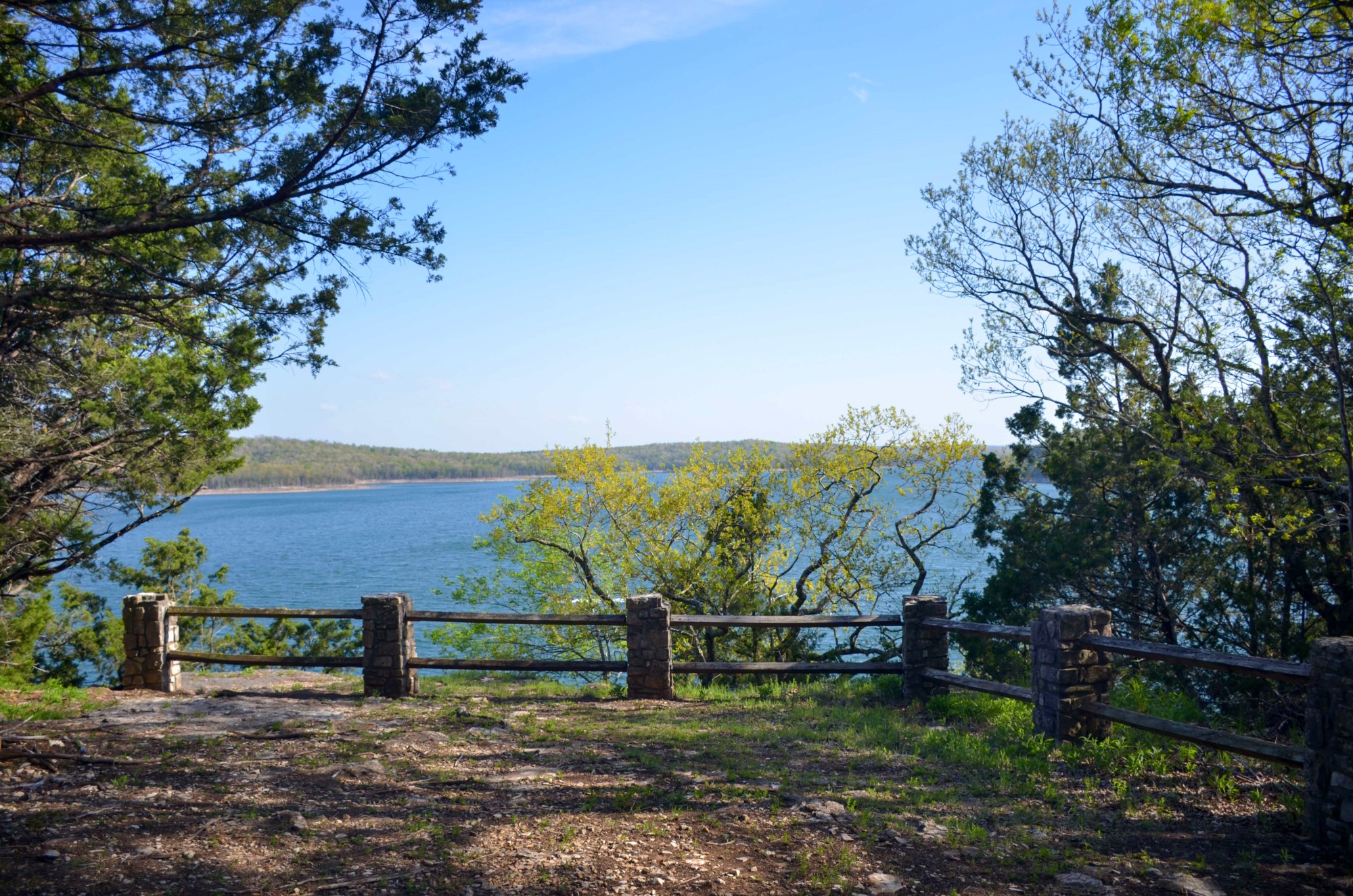
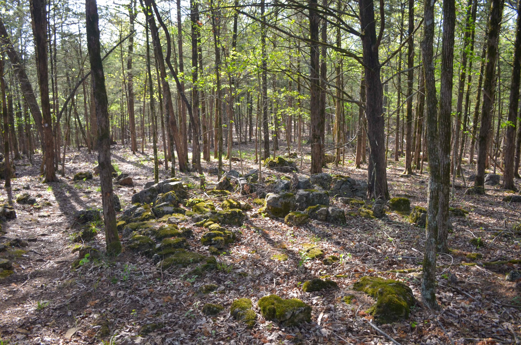
Photo Gallery
Click below for full-screen photo gallery of these and more pics from my April 2022 hike.

Map
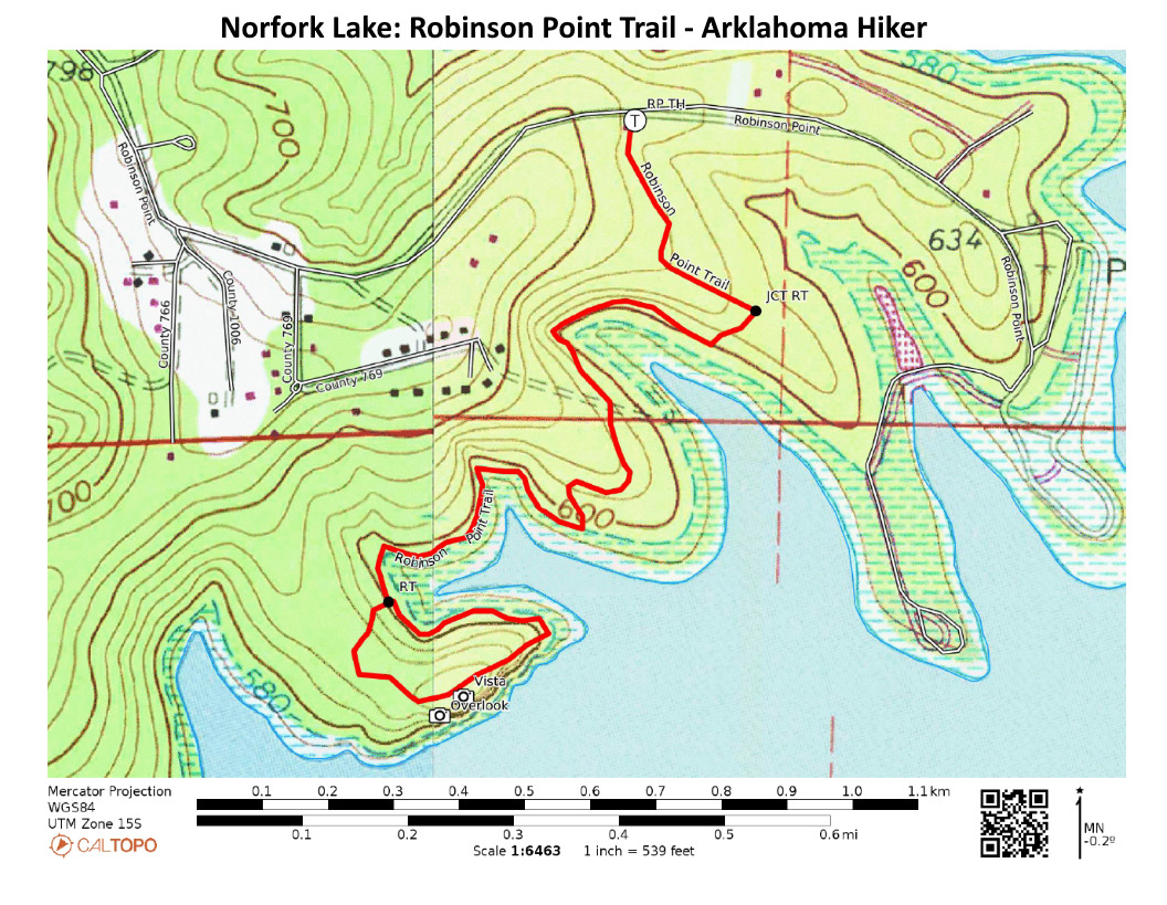
Norfork Lake: Robinson Point Trail (Corps Rec Area) |
|
|---|---|
| Location | Robinson Point Campground (Corps of Engineers Recreation Area), near Mountain Home, Baxter County, Arkansas. |
| Hike Length/Type | Semi-loop/2.6 miles. |
| Difficulty | Mildly Challenging (2 of 5). |
| Other Permitted Usage | -- |
| Gpx file by Mike | Link |
| Date Hiked | April 2022 |
| Directions | Google Maps Directions to Robinson Point Trailhead |
| Official Info | 870-492-6853 Website |
2 replies on “Norfork Lake: Robinson Point Trail –3 mi”
We are new to the north central Arkansas area, and had stopped at Panther Bay trail and saw a sign that mentioned fees. We have not been to any trails since, as we are unsure if we have to pay some kind of fee or register somewhere to hike on the trails. Please advise. Thank you.
Darlene, Some areas in Arkansas such as some Corps of Engineers recreation areas require day use fees to be paid. If you see a sign like that, you should check with the local Corps of Engineers office. The phone number is at the bottom of this page.