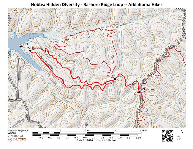
Bashore Ridge Loop hike is an enjoyable and mildly challenging 4.1-mile hike at Hobbs State Park-Conservation Area (near Rogers, Benton County, AR). The highlight is the beautiful Beaver Lake overlook.
The Hidden Diversity Multi-Use Trail is a complex of loops and spurs in the west part of Hobbs. This hike does one of those loops.
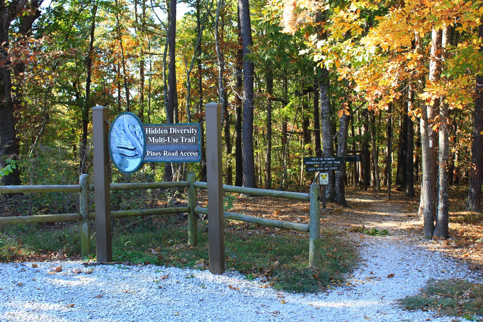
Getting to the Hidden Diversity Piney Road Trailhead at Hobbs
The hike starts via Piney Road Trailhead. To get to Hobbs from Rogers, take Highway 12 and head east for about 10 miles.
Watch for Piney Road on your right (to the south). Turn here.
The trailhead parking has 2 paved lots about a mile down this road. You can park on either side. This hike starts on the right (west) side.
The Hike – Initial Spur and Loop North Side
Both the Bashore Ridge Loop and Dutton Hollow Loop start from the west side of the Piney Road Trailhead.
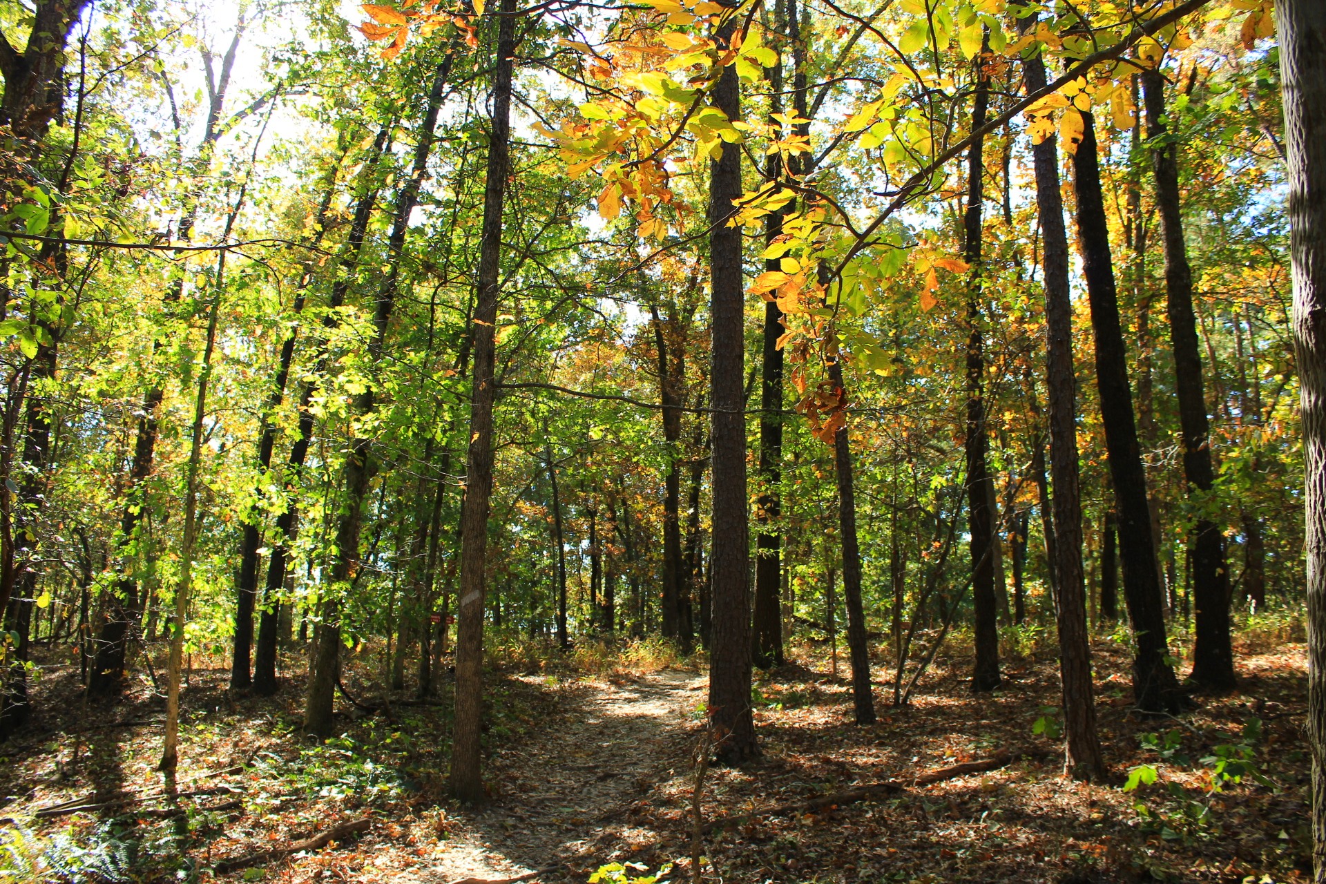
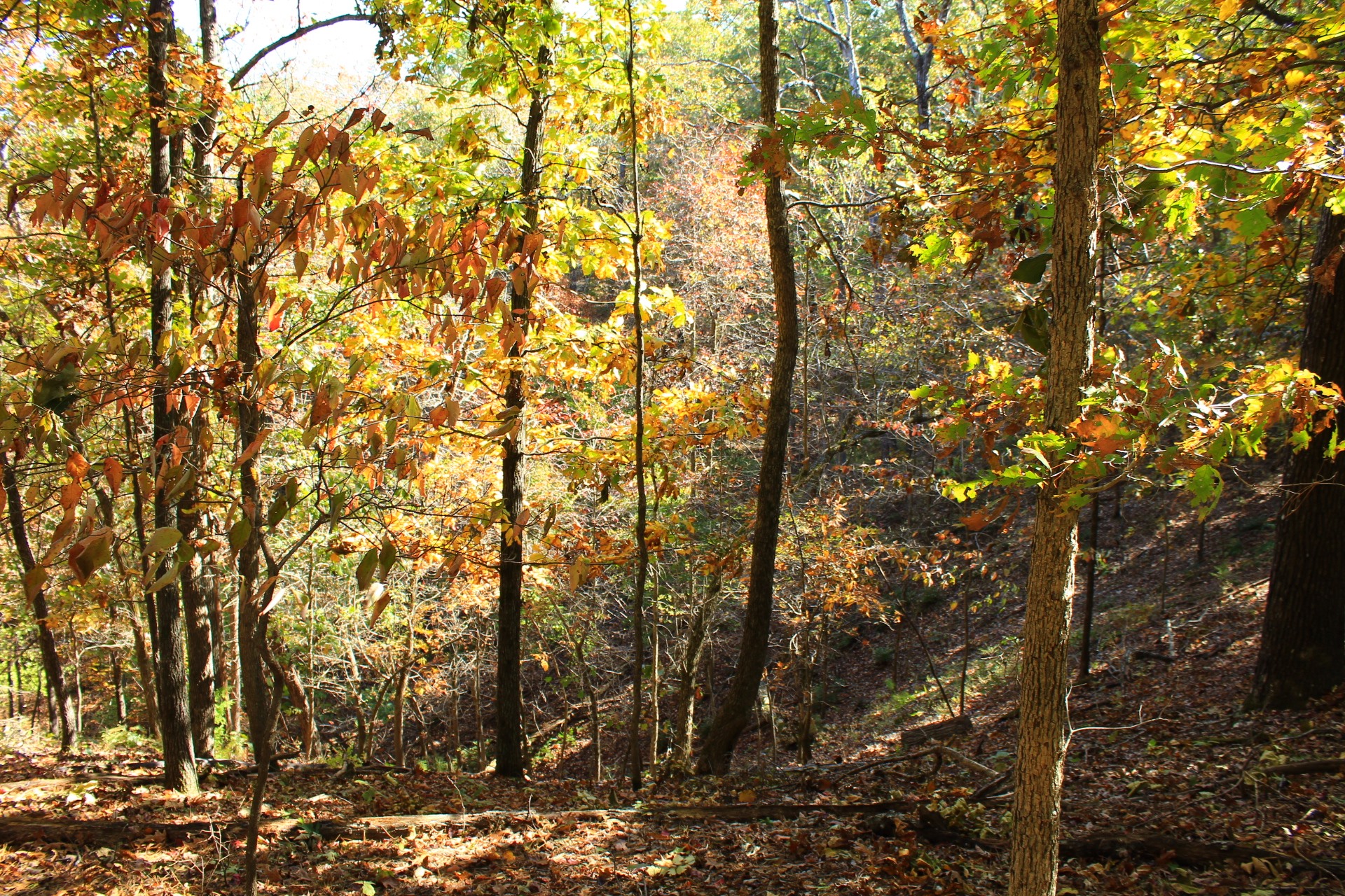
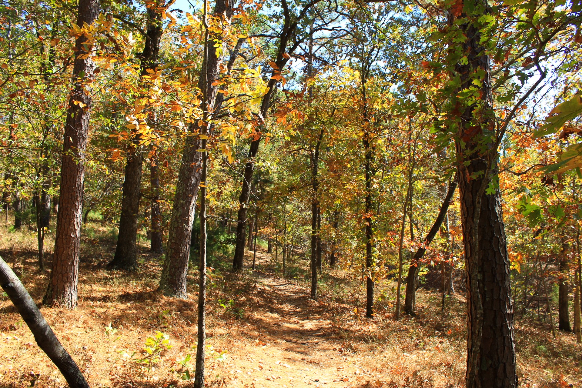
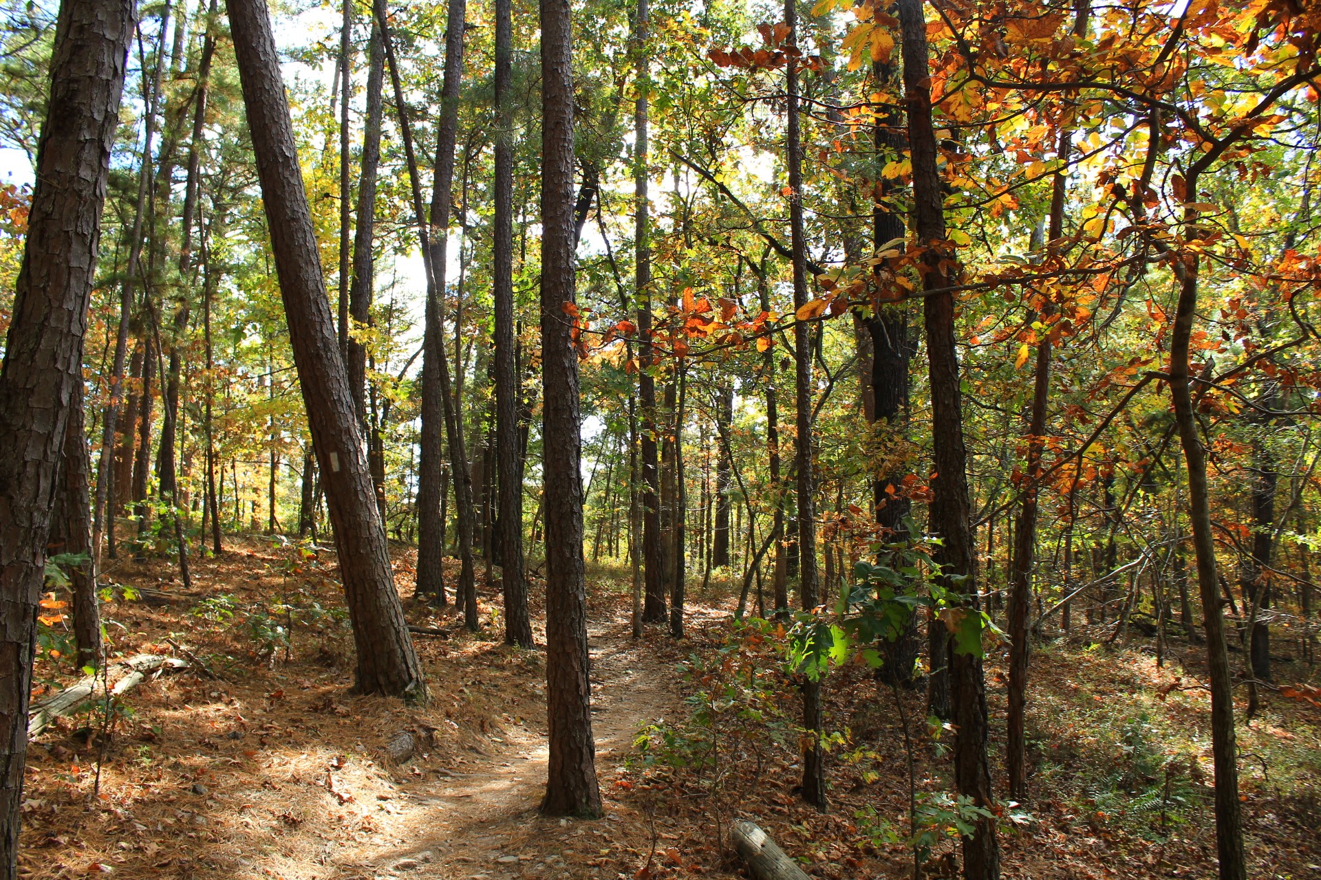
Many of the trails at Hobbs seem to have been laid out with mountain biking in mind in that they spend a large amount of time staying on a fairly level ridge and less time of (more interesting) hill climbing.
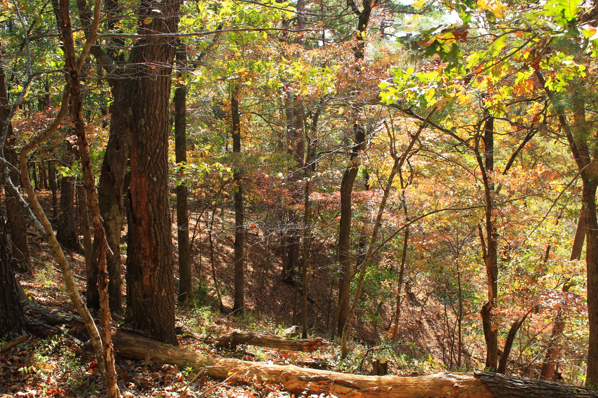
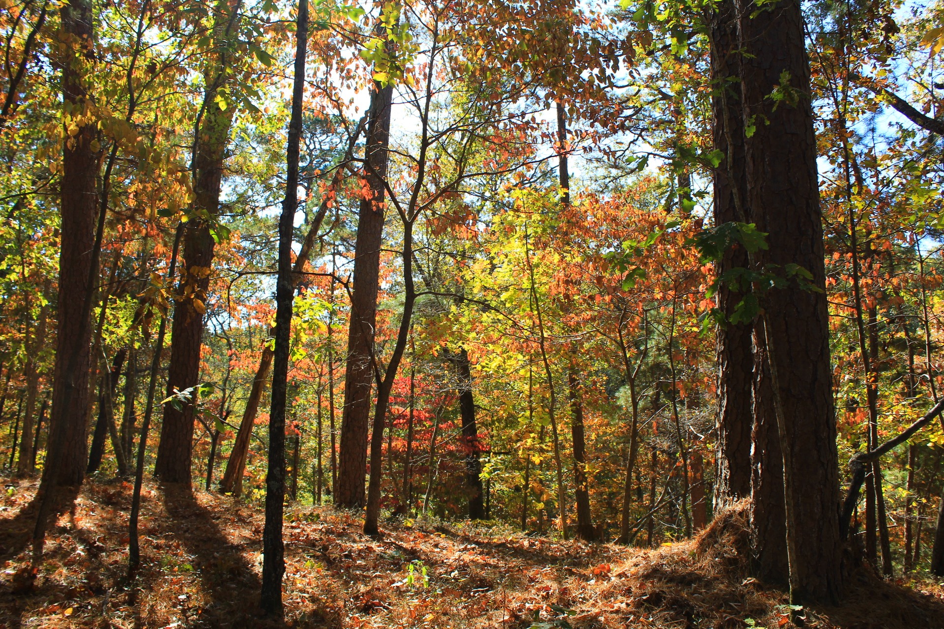
This hike has some nice views of surrounding valleys, but it almost entirely avoids going into any of them. Nonetheless, it is a scenic and enjoyable hike.
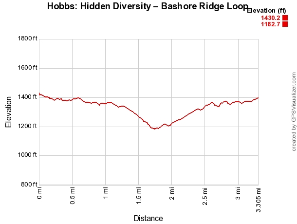
The terrain in this area–primarily rolling hills–does not have a huge amount of elevation change.
Be sure to look at some of the nearby valley/ravine areas on the hike. Of course, they are more visible during leaf-off.
At around .6 miles, the initial spur ends, and you reach the spot where you need to take a left to do the Bashore Ridge Loop. About 20 yards after this, you arrive at the loop part. I usually turn right to take the loop counterclockwise (i.e., doing the north side first).
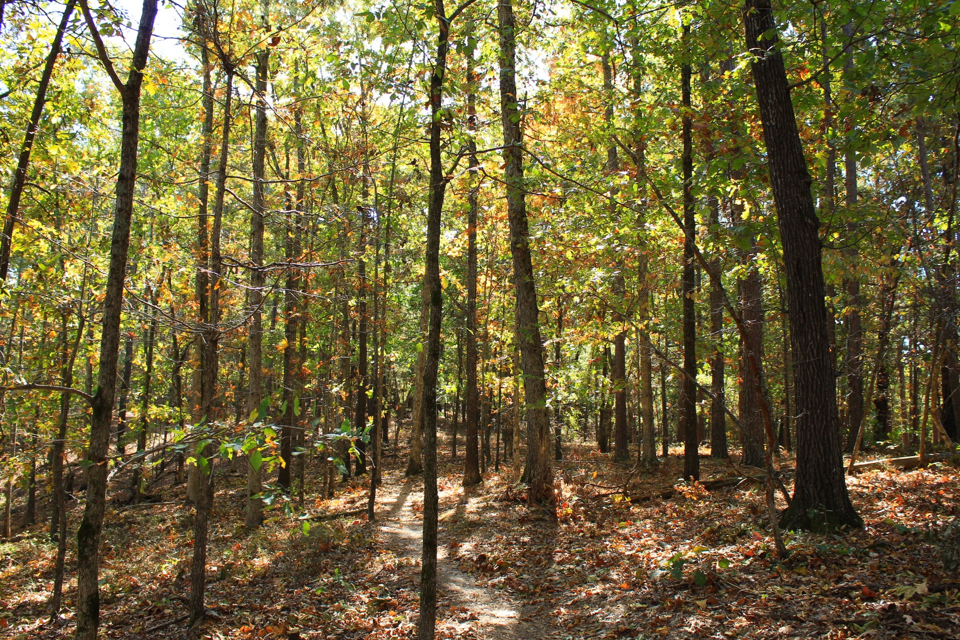
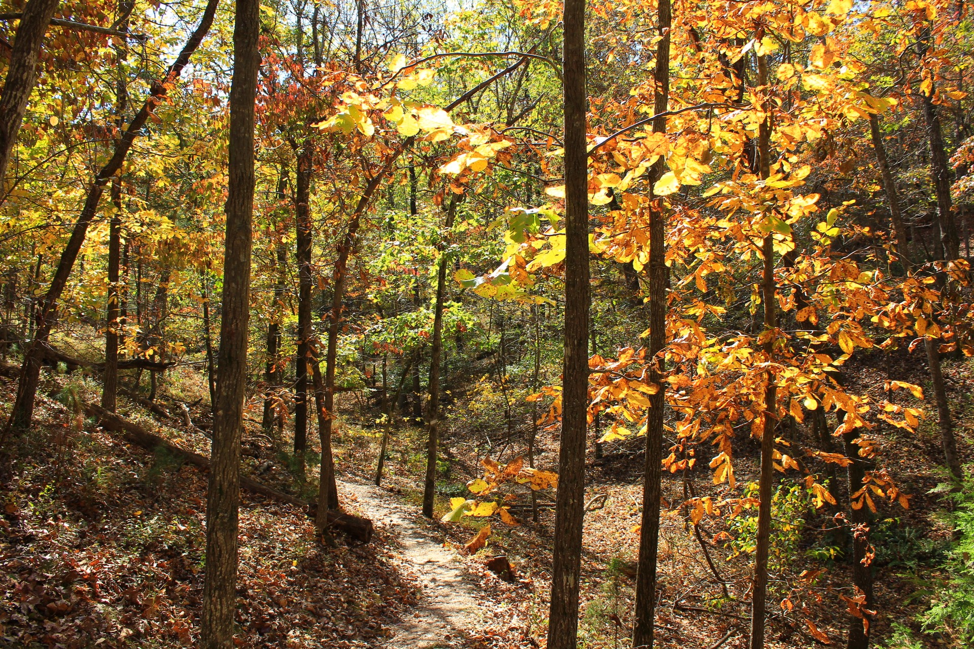
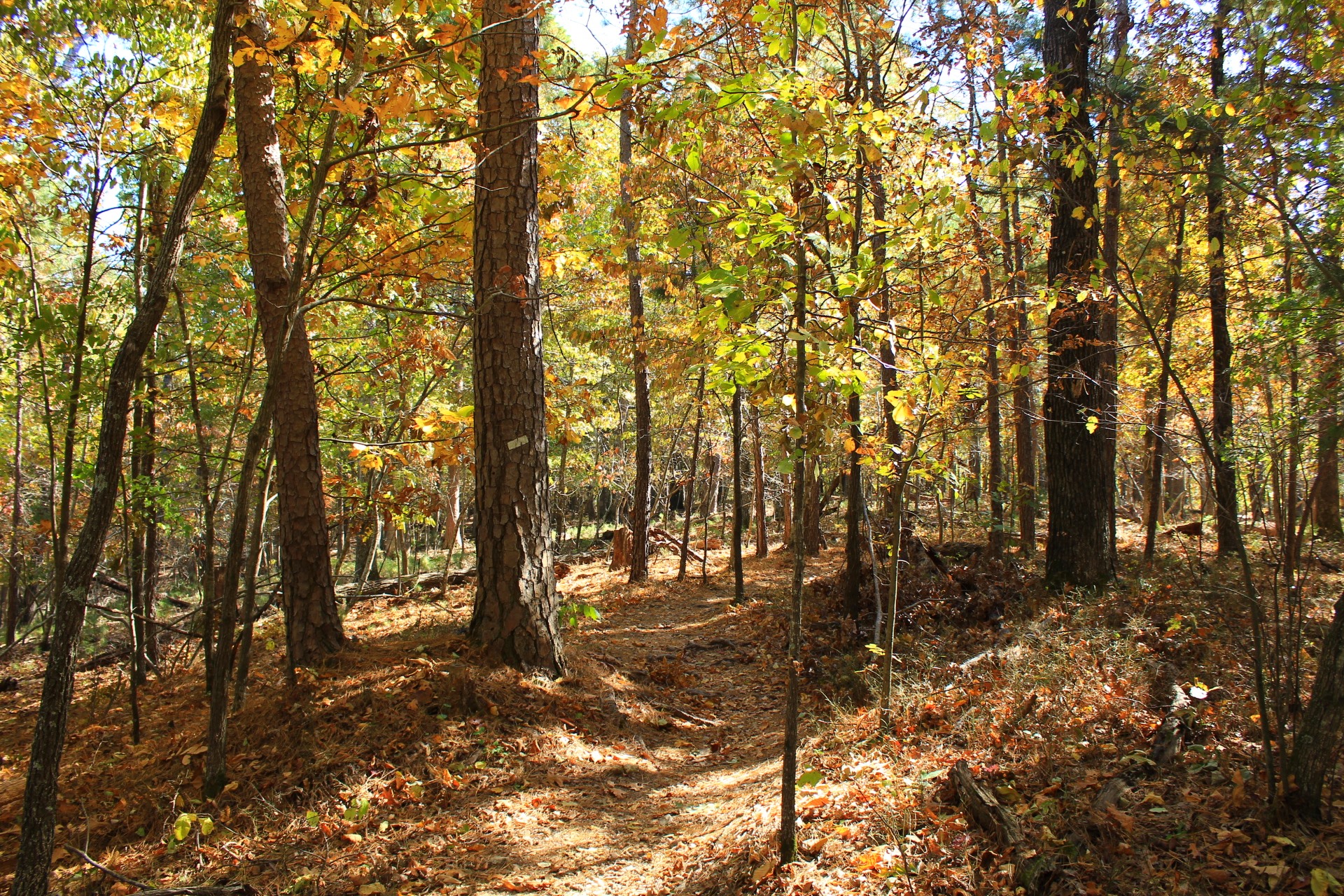
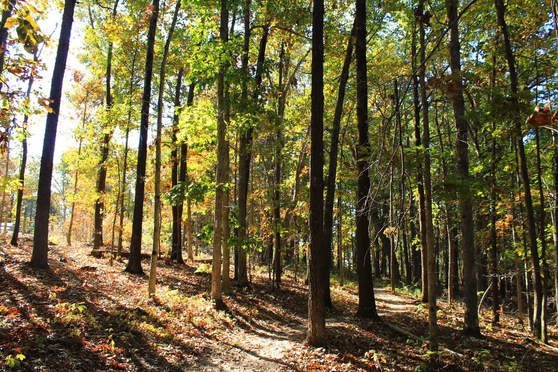
On about half of the loop, the trail is fairly level as it winds in and out following the ridge contours.
At around 1.3 miles on the hike, the trail starts working its way downhill toward the lake overlook.
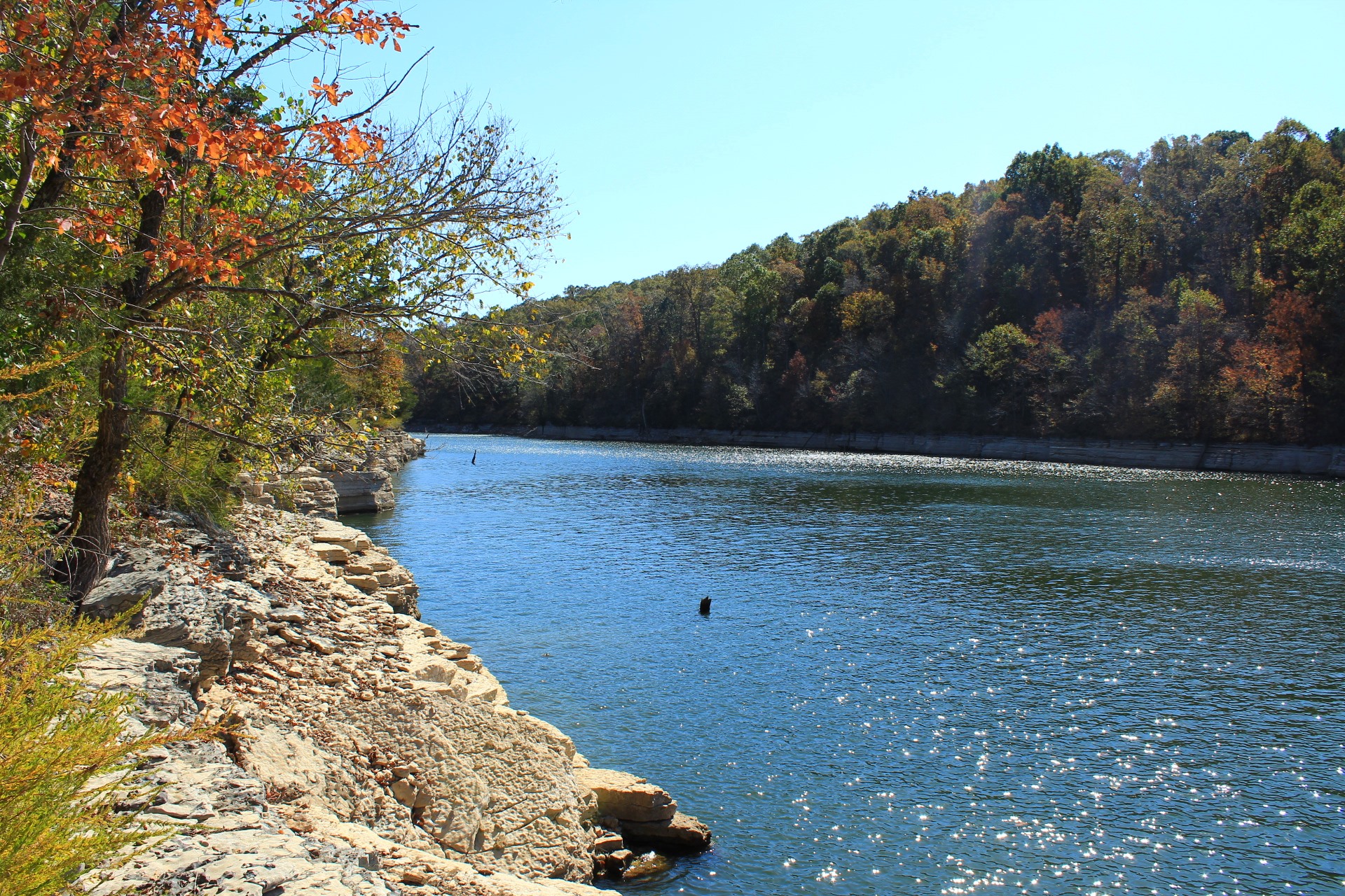
At around 1.5 miles, there is a stretch I like where the trail goes along a hillside.
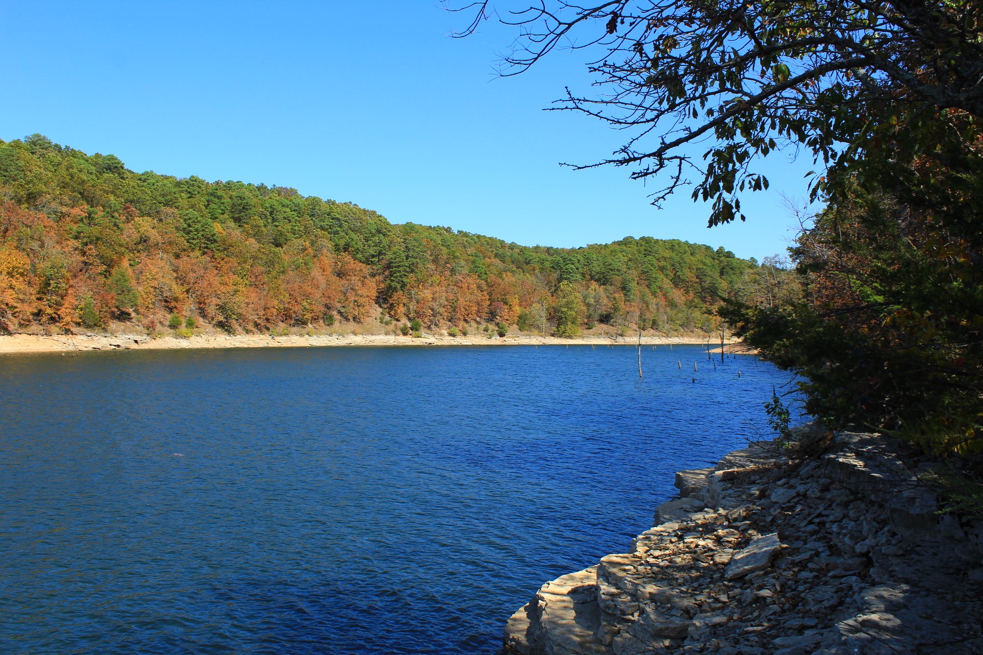
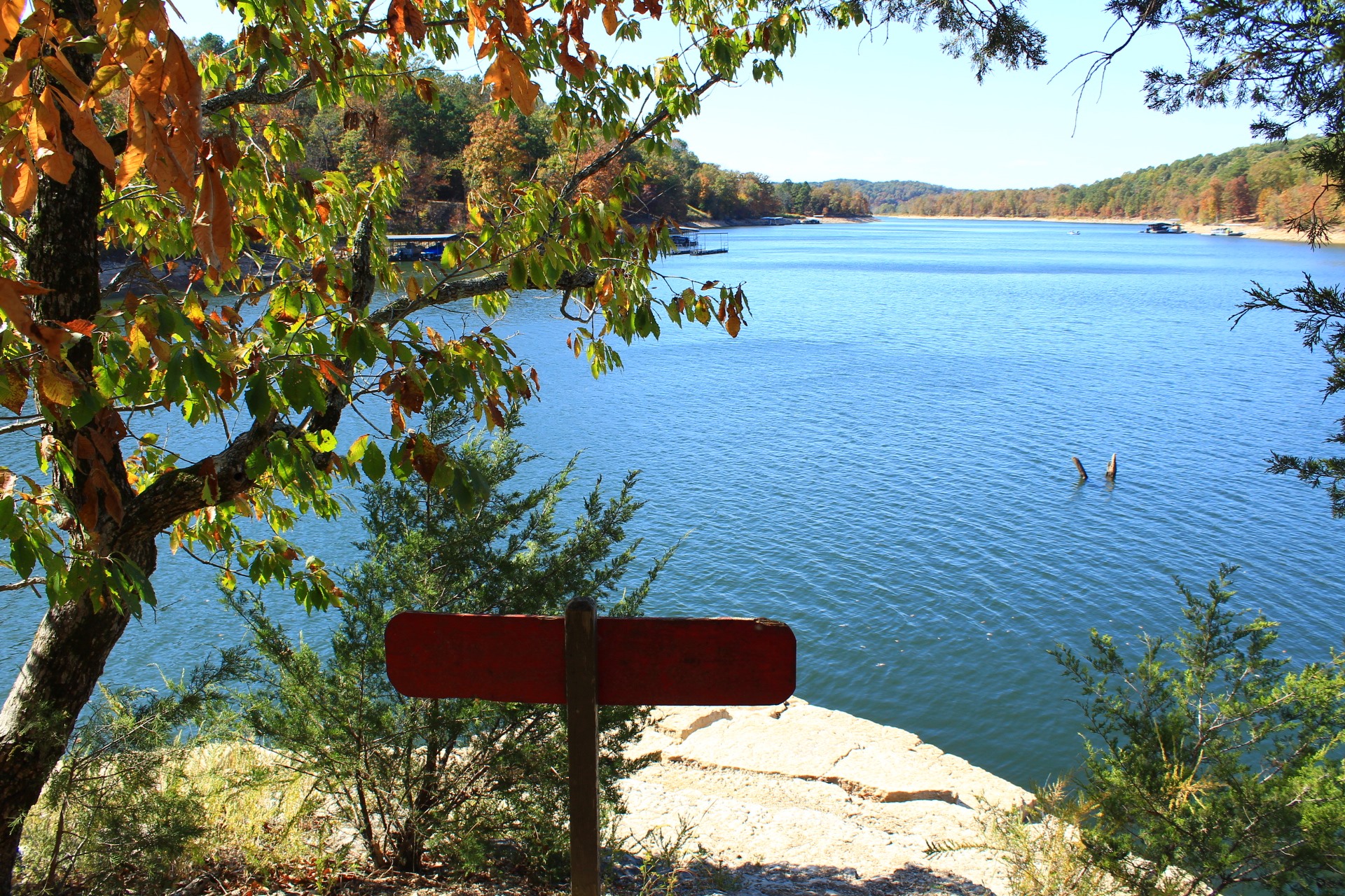
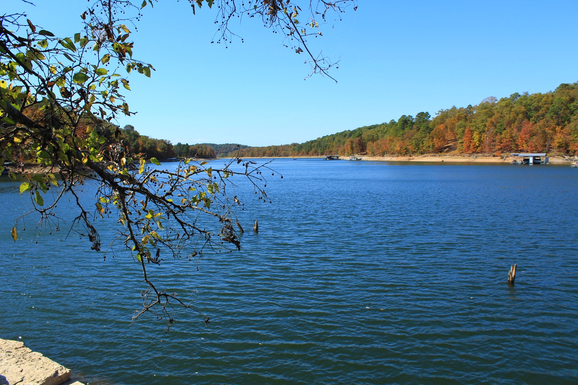
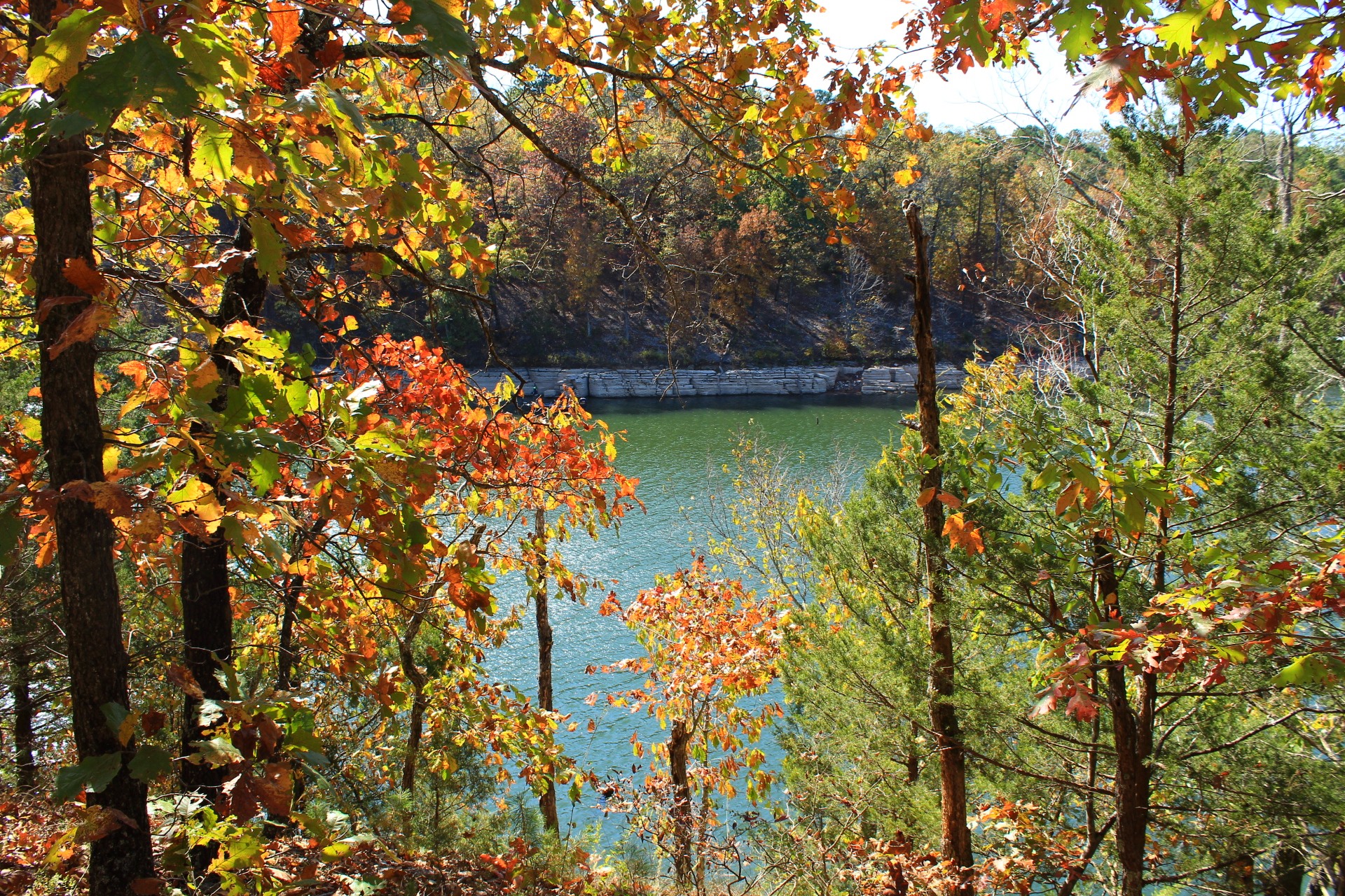
Lake Overlook
The spur for the lake overlook is at around 1.8 miles. It’s about a .1 mile walk down to the overlook. It’s about a 75-foot descent.
With its 270-degree view, the lake overlook is the visual highlight of the trail.
The bigger view of the lake is straight ahead. And there is a northeast inlet to the right and a southeast inlet to the left.
Caution: The spur down to the lake is quite steep. Be very careful.
South Side of the Loop
After climbing back up from the overlook spur, take a right to continue on.
Over the next mile or so, the trail works its way uphill about 175 feet in elevation. The climb here on the south side of the loop is slightly less steep than on the north side.
As before, be sure to take in some of the ravine/valley views to the right (more visible during leaf-off).
At around 2.7 miles (not including the .2 miles on the overlook spur), the trail becomes fairly level again.
At around 3.3 miles, you are back at the initial spur. Continue straight (or right) to return to the Piney Road Trailhead.
Final Notes
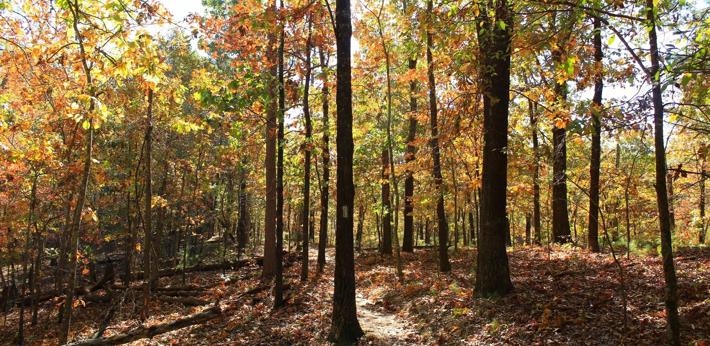
Overall, the trail was in great condition and easy to follow. Hobbs does a great job of keeping their trails maintained. Much of the trail is covered in gravel which helps the trail stay in shape, but be careful for loose gravel when heading downhill.
The difference between the maximum and minimum elevation points is only about 250 feet. (It’s over 300 feet difference including the overlook spur.)
I had AT&T cell coverage about 80% of the hike.
These photos were all taken on a hike I did on October 17, 2020. There was some nice fall foliage that day. September 24, 2022 was my most recent hike here.
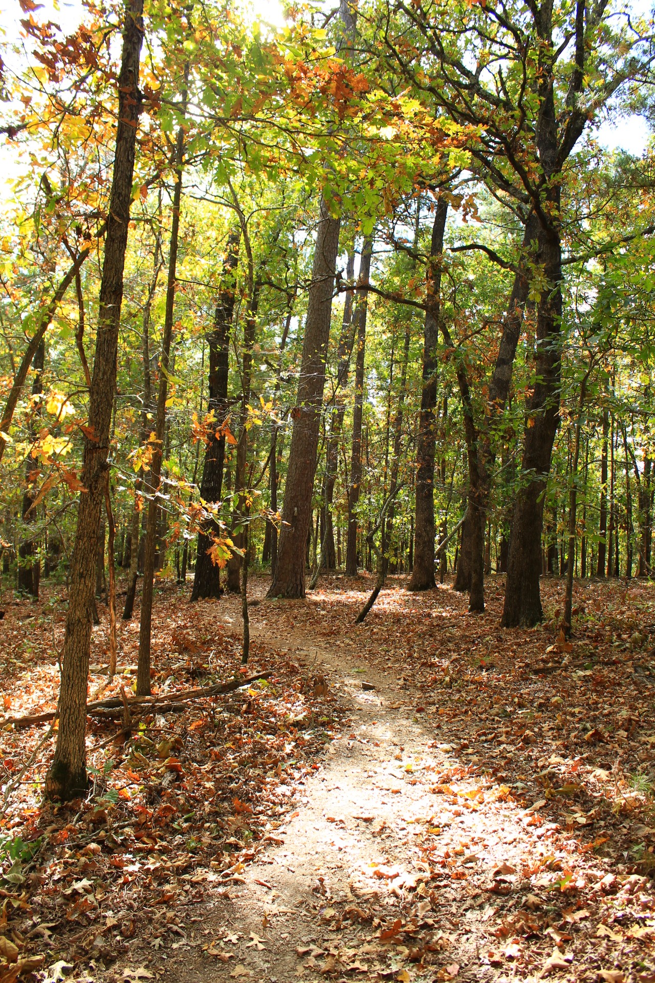
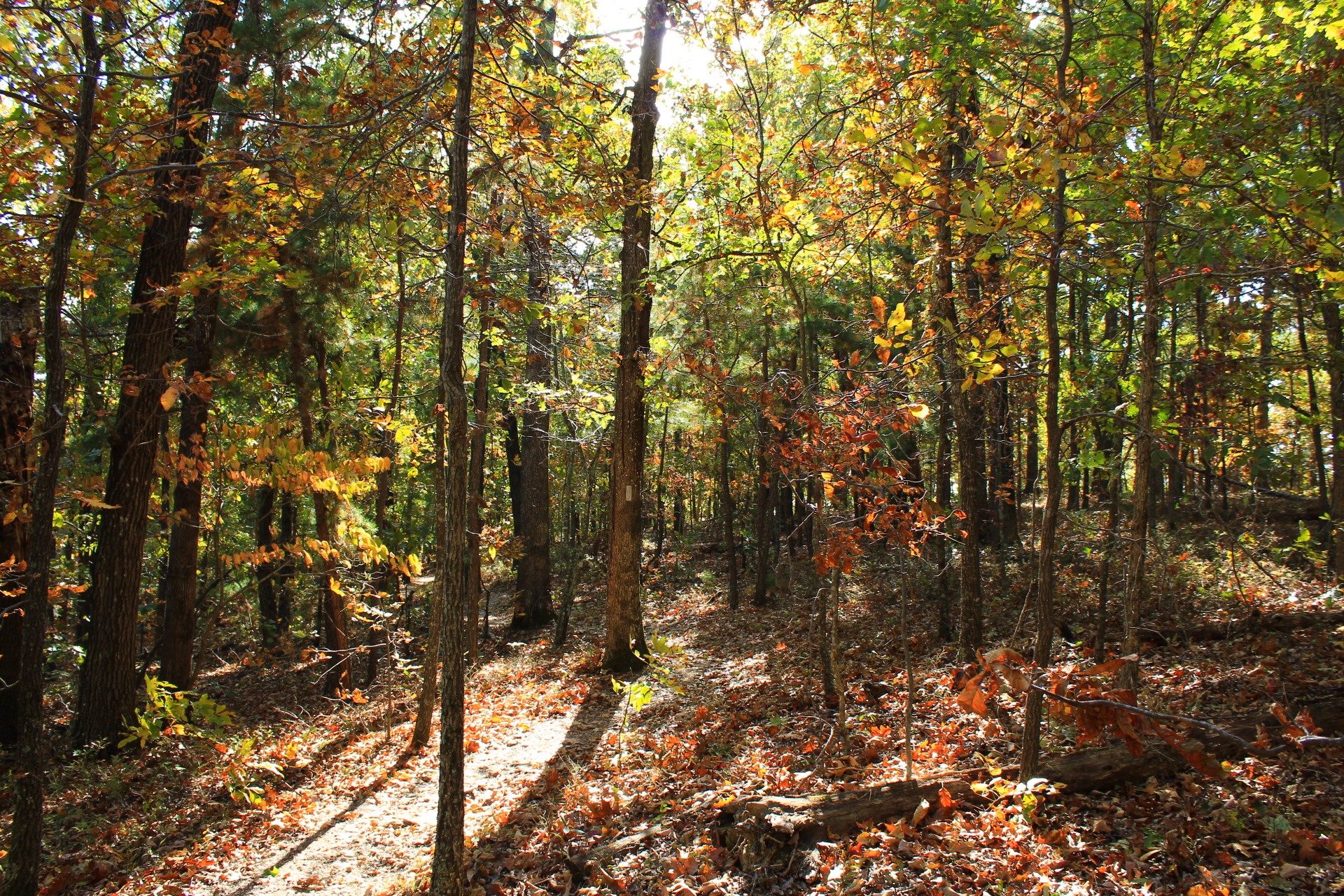
Photo Gallery
Click below for full-screen photo gallery.
Map
Hobbs: Hidden Diversity - Bashore Ridge Loop |
|
|---|---|
| Location | Hobbs State Park-Conservation Area, Benton County, Arkansas |
| Hike Length/Type | The hike is a total of 4.1 miles. Most of it is a loop, but there is an initial spur of .6 miles. The spur to the lake and back adds .2 miles. |
| Difficulty | Mildly challenging. (2 of 5). |
| Other Permitted Usage | Mountain bikes; Horses; Pets on a leash. |
| Gpx file by Mike | Link |
| Date Hiked | 9-24-2022 (and earlier) |
| Directions to Trailhead. | Google Maps Directions to the Hobbs Hidden Diversity Trail Piney Trailhead |
| Official Info | (479) 789-5000 Website Official Hobbs Hidden Diversity Trail Brochure (pdf) |