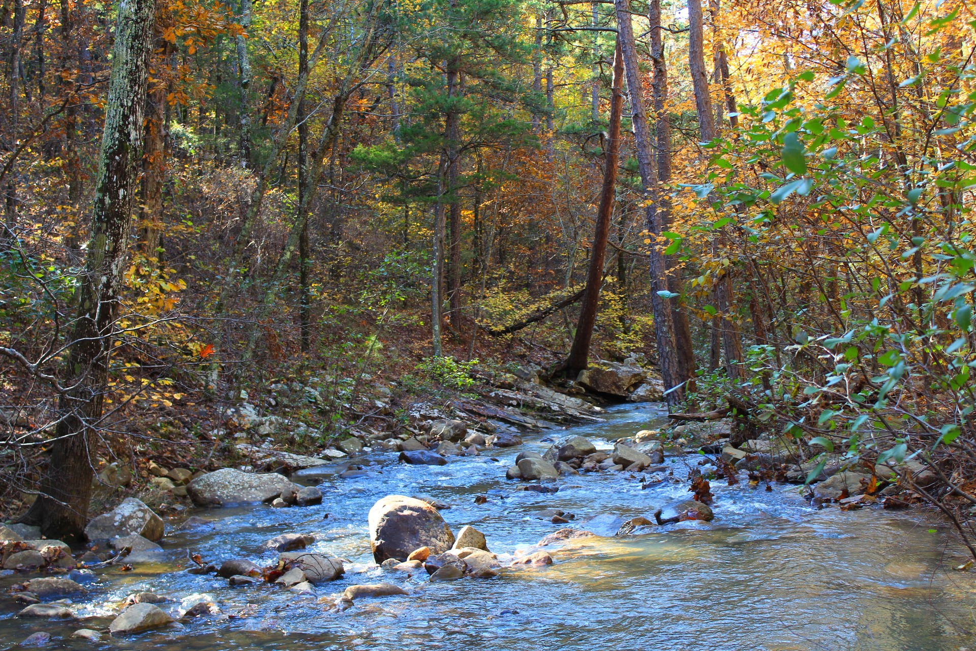
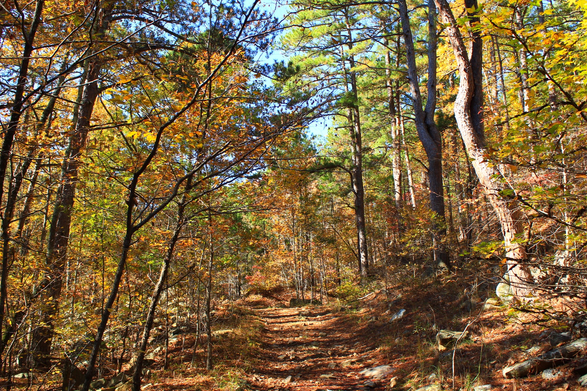
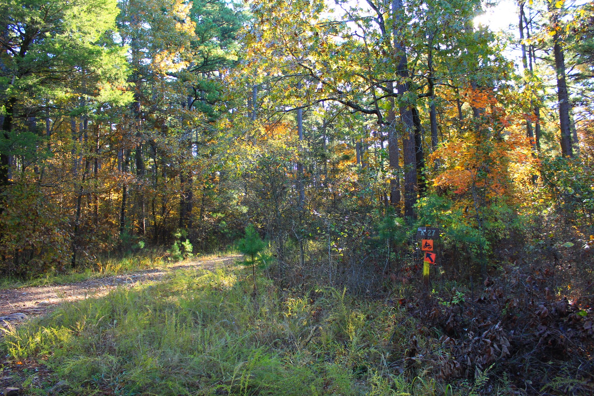
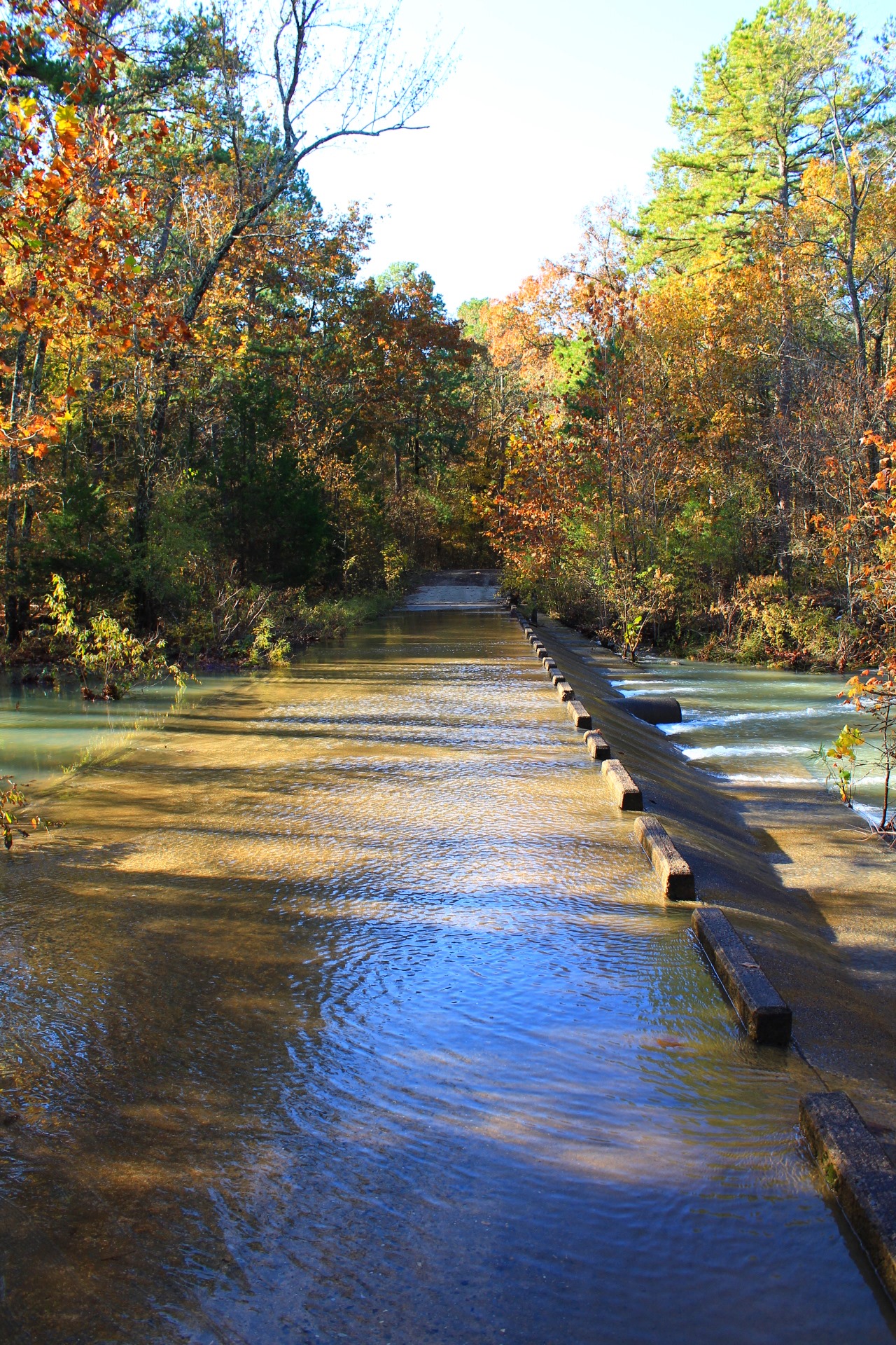
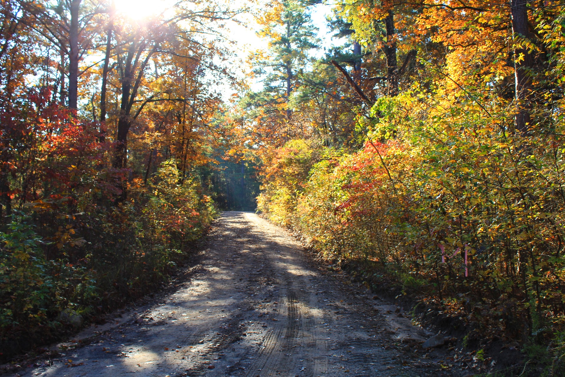
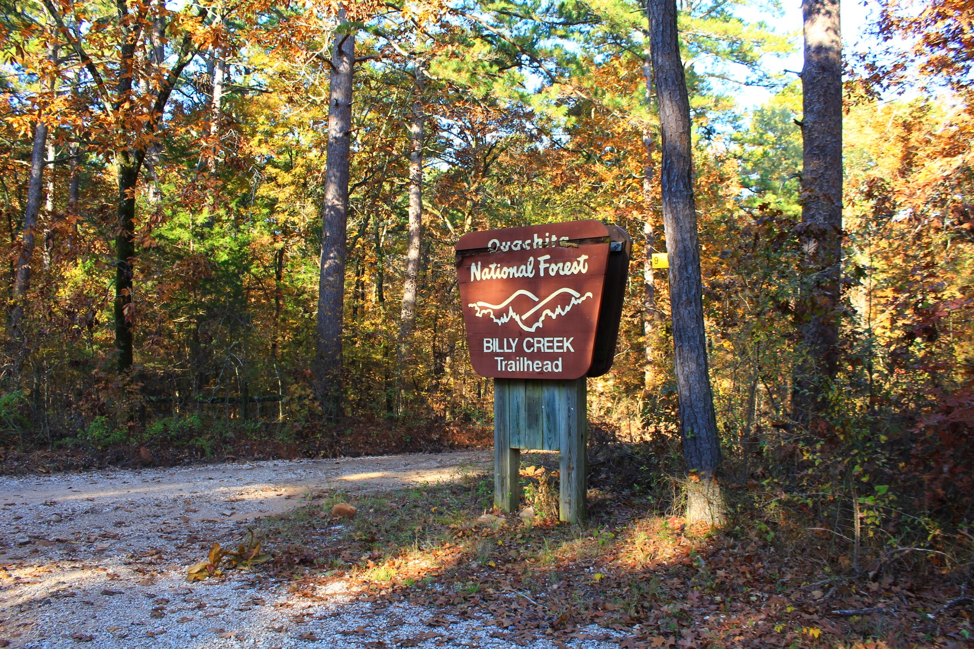
Last fall I had a very enjoyable hike on the south loop of the Billy Creek Trail south loop on Winding Stair Mountain in the Ouachita National Forest (LeFlore County, Oklahoma).
These are some additional photos I took on my November 9, 2019 hike.
See my profile of the trail here.
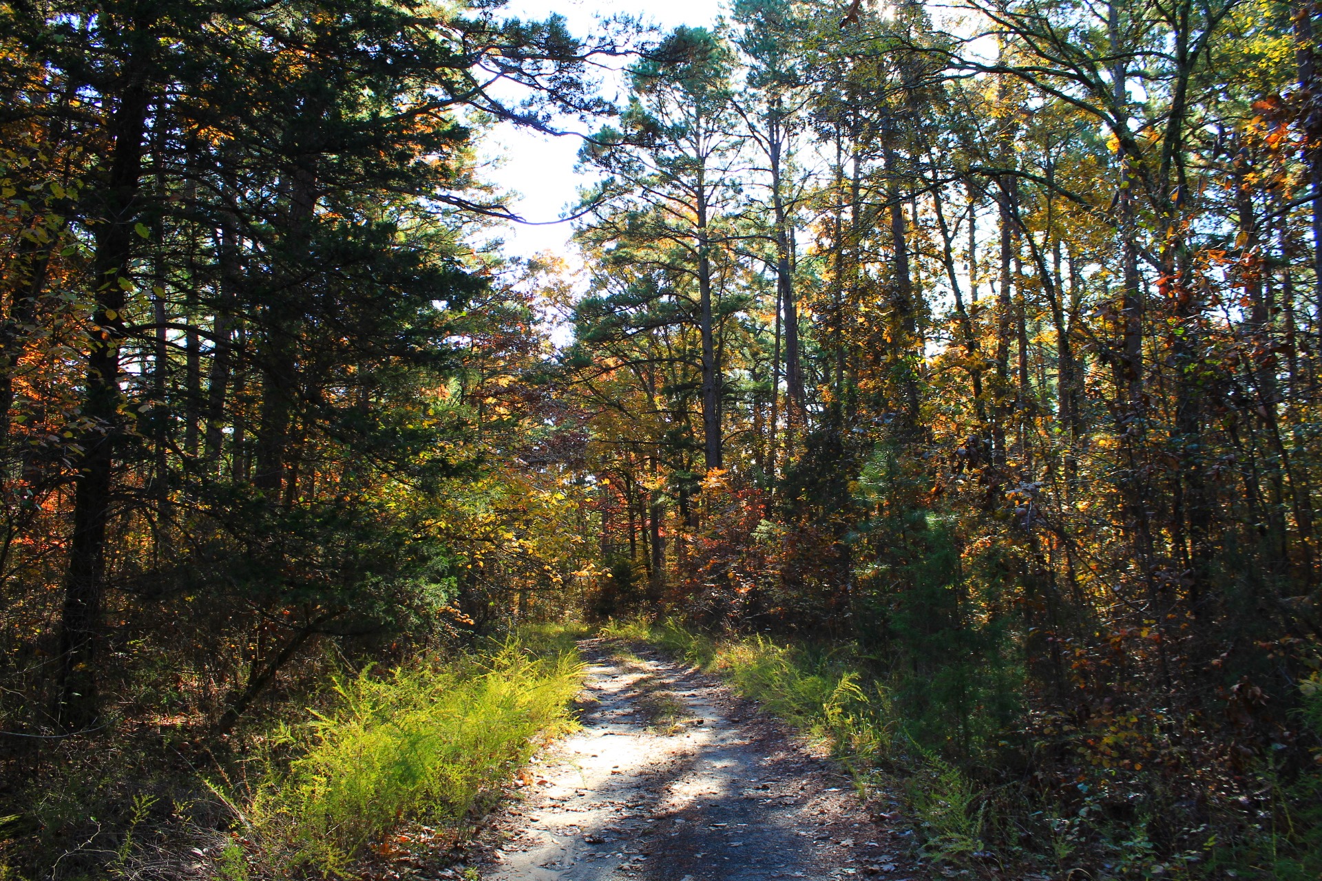
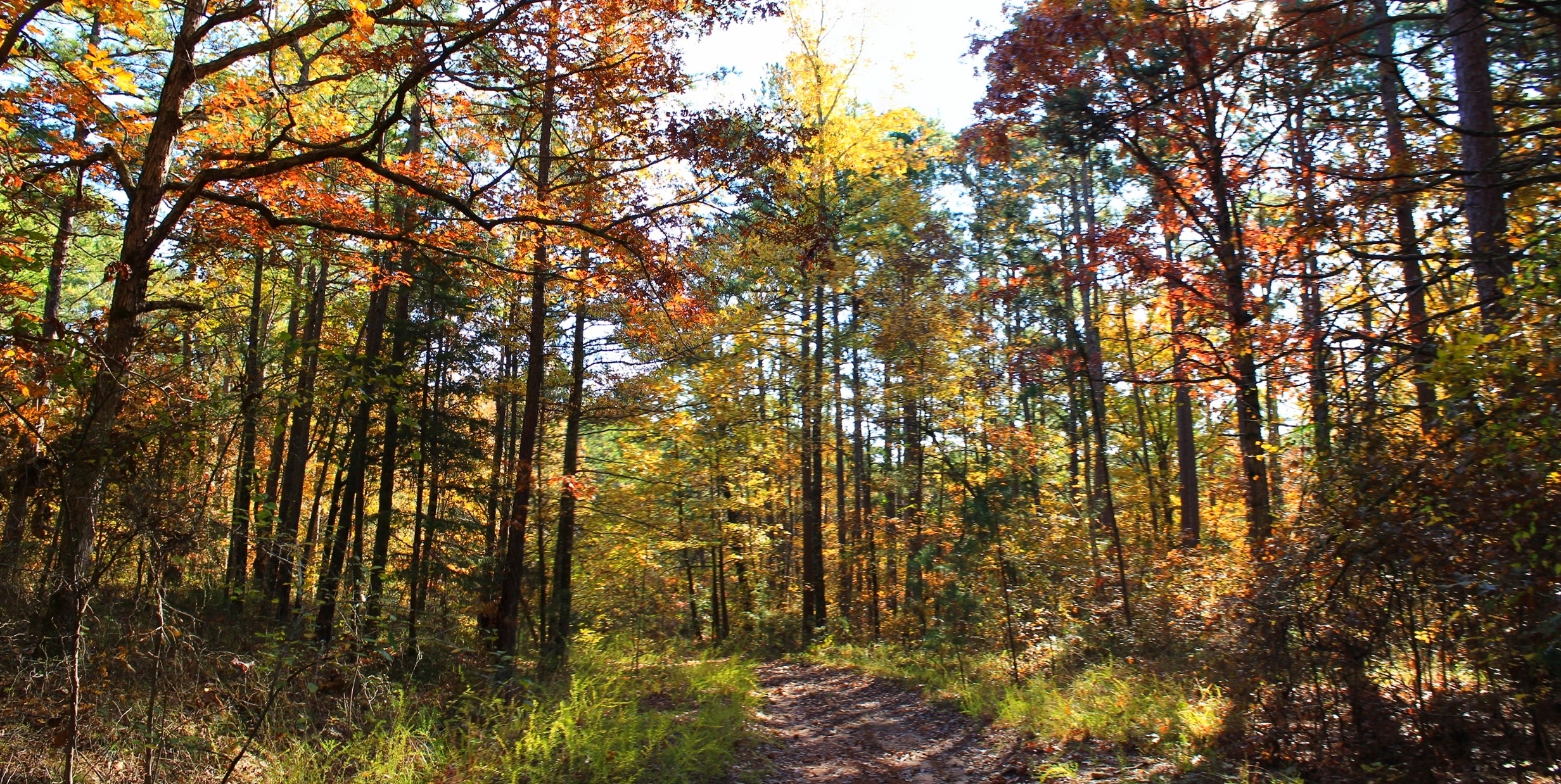
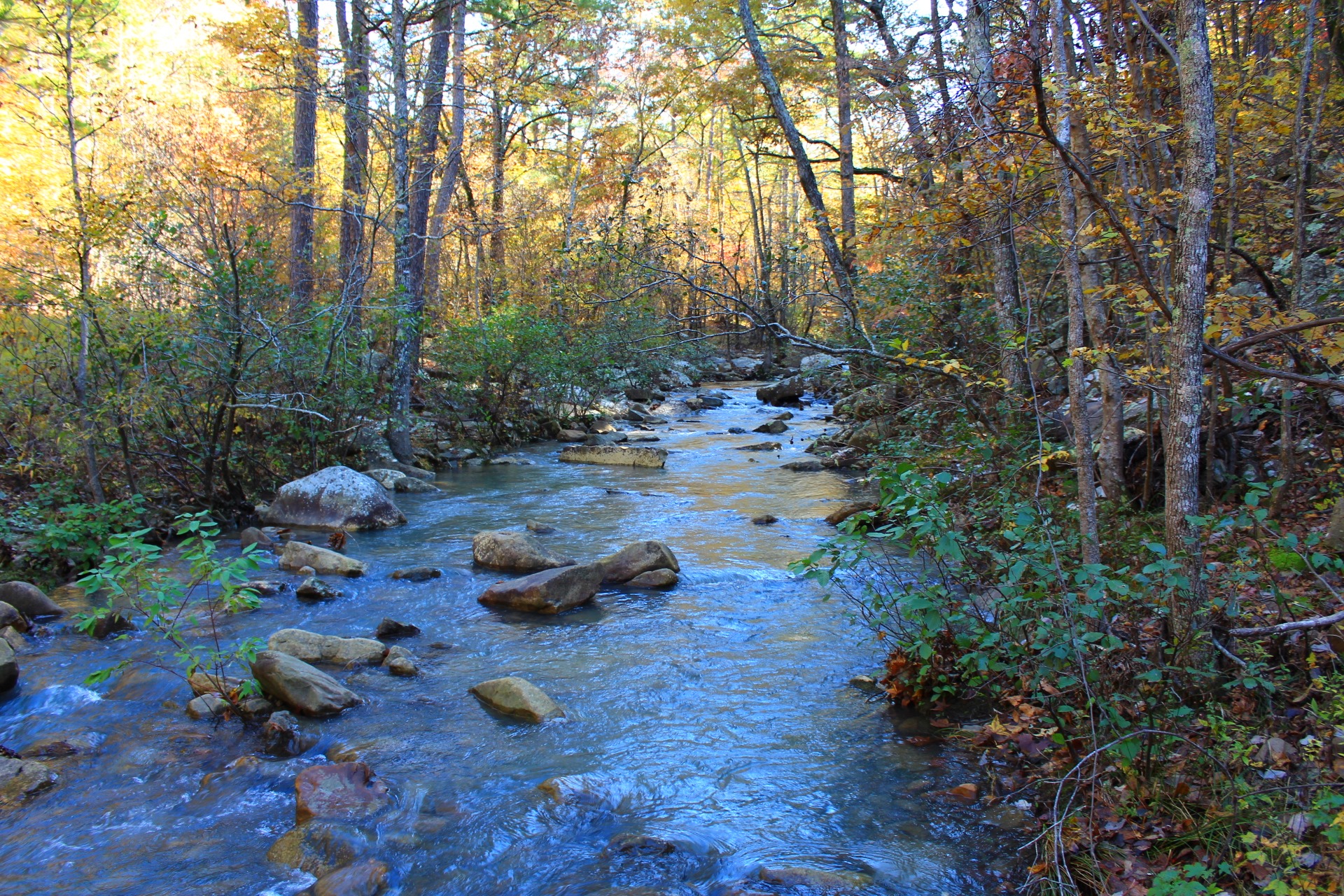
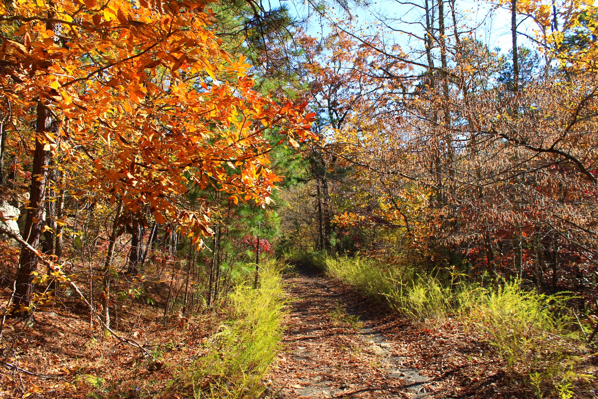
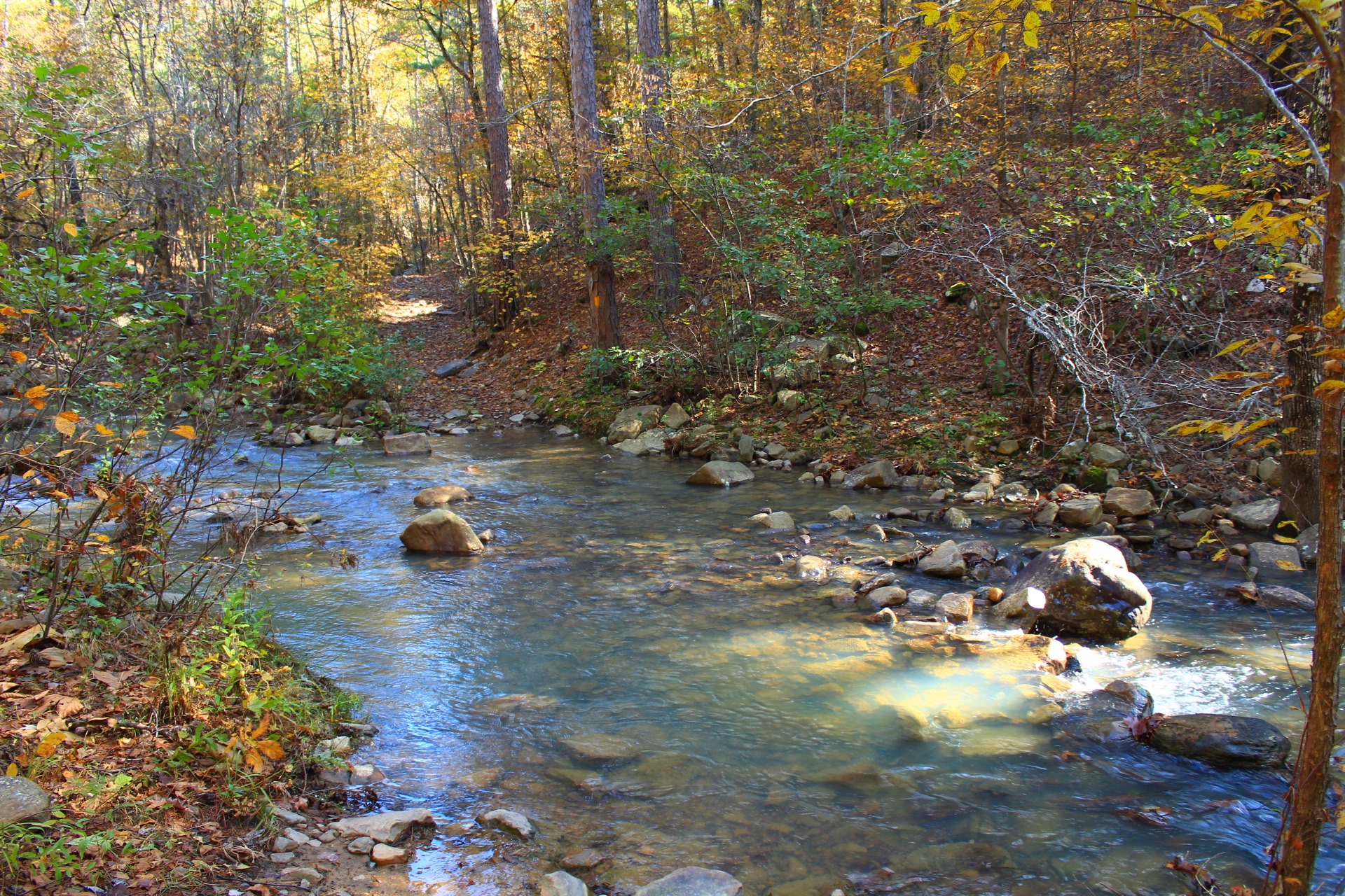
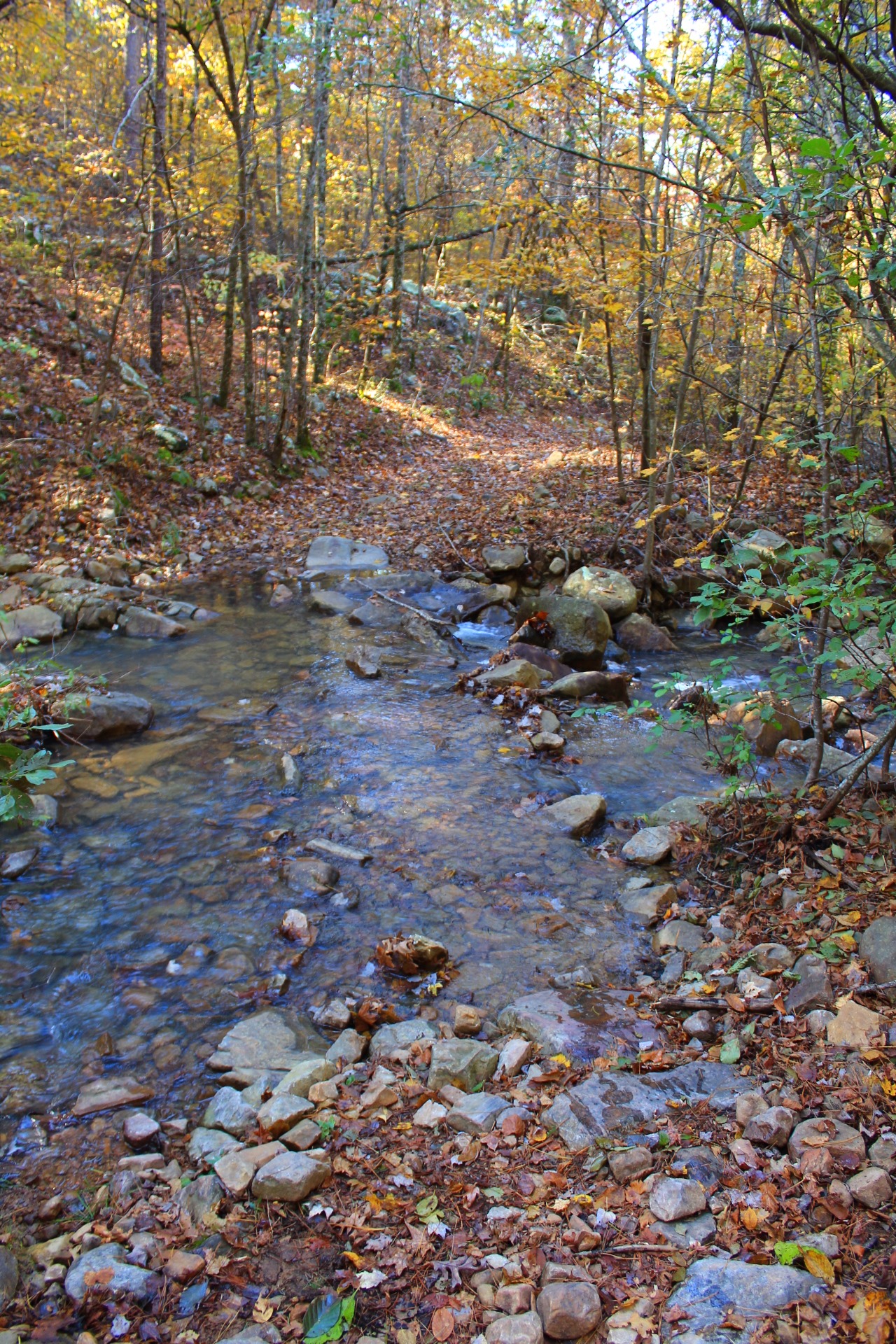
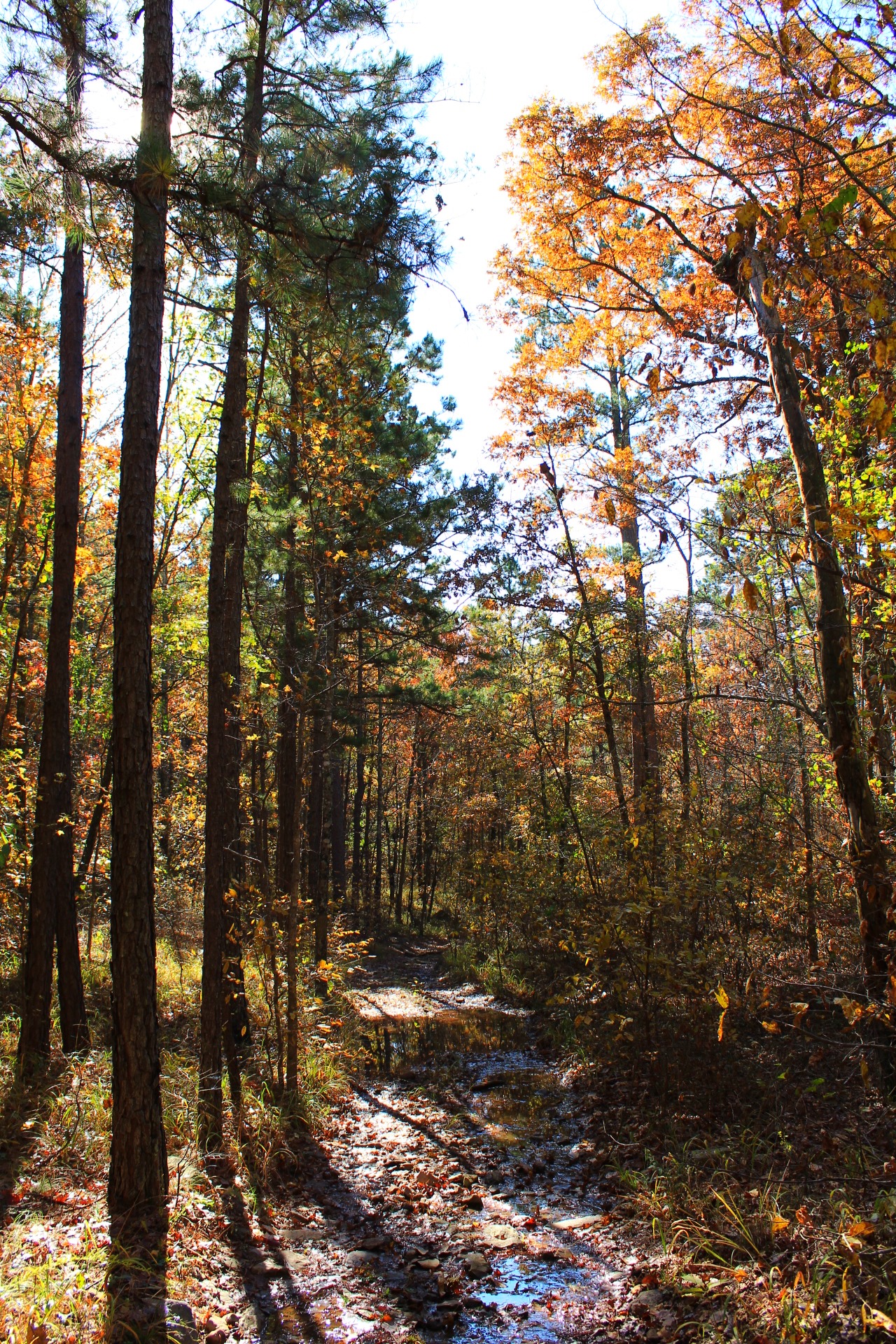
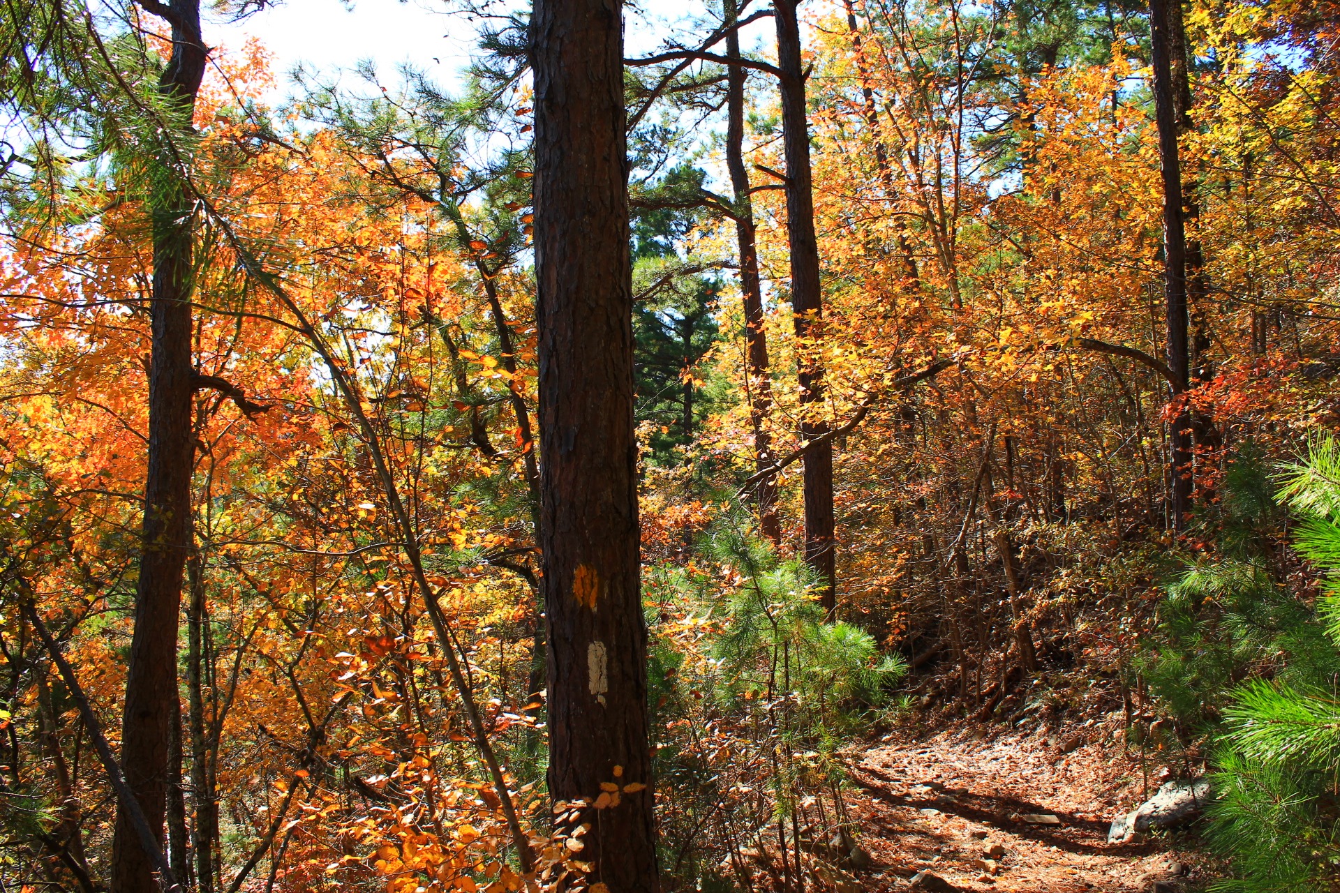
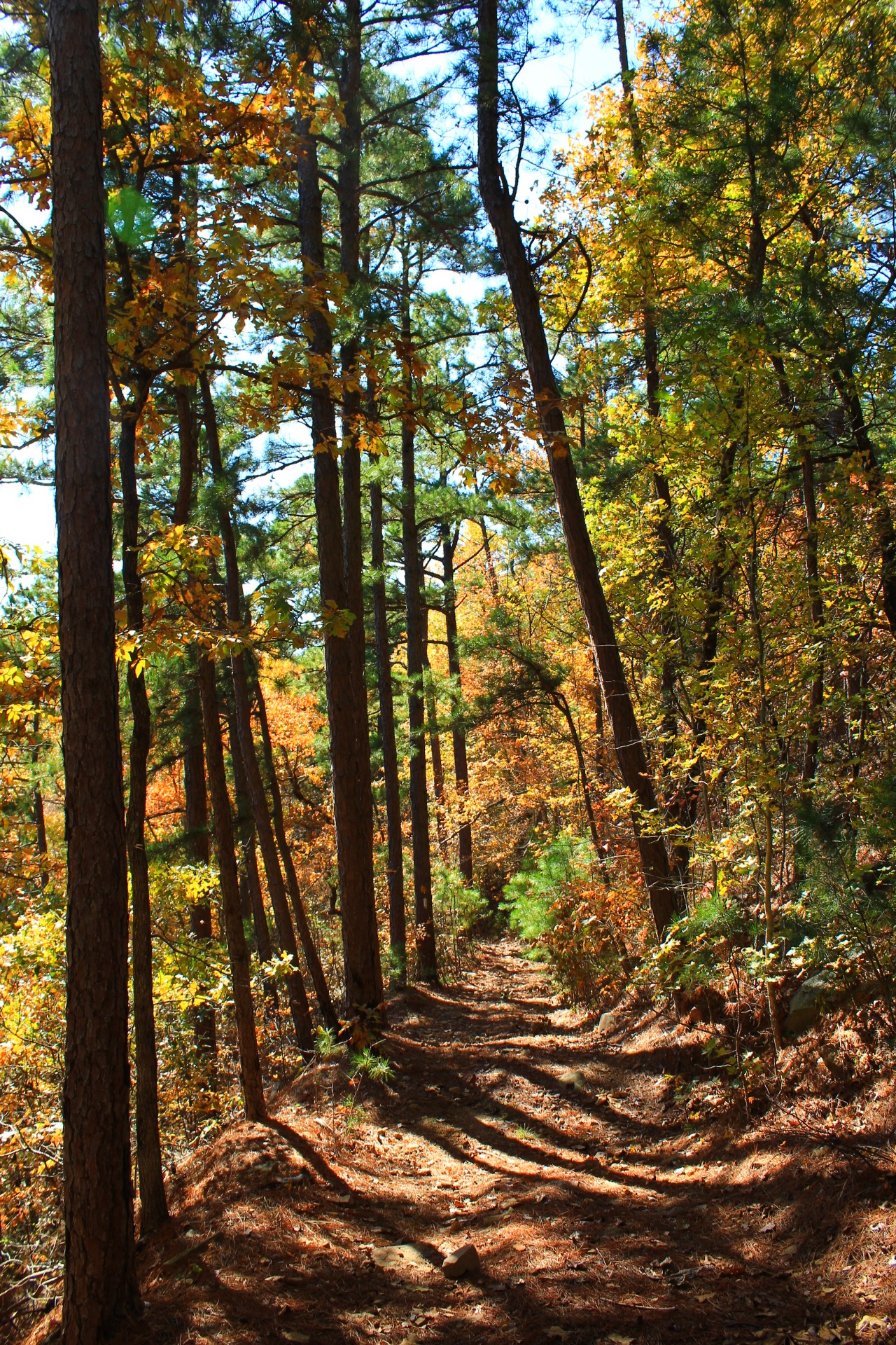
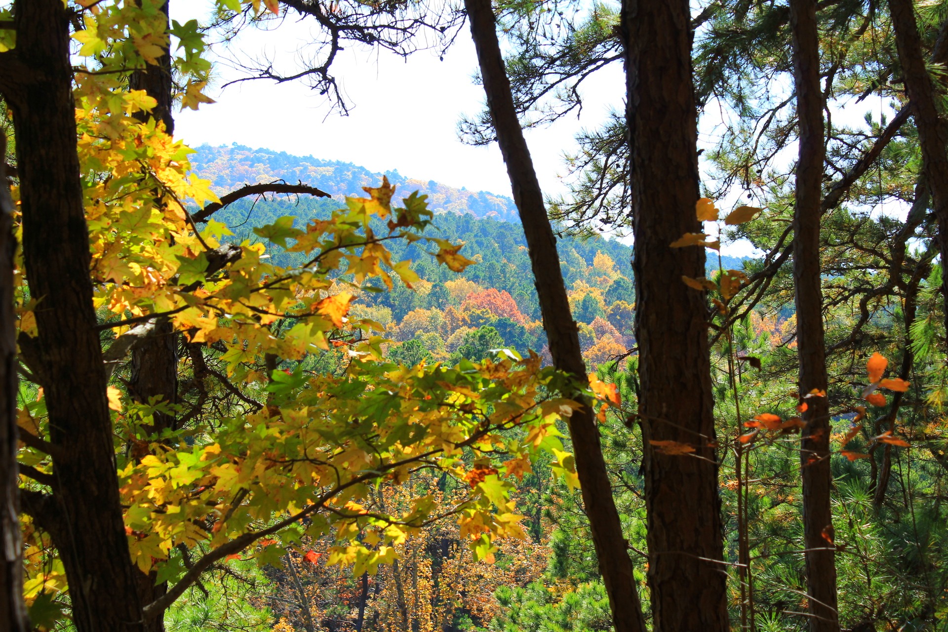
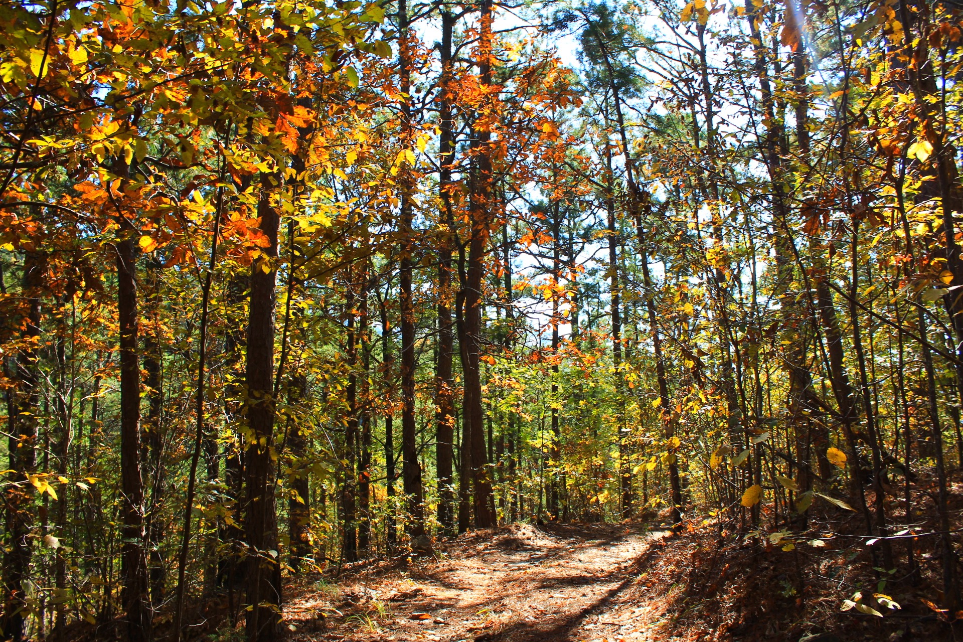
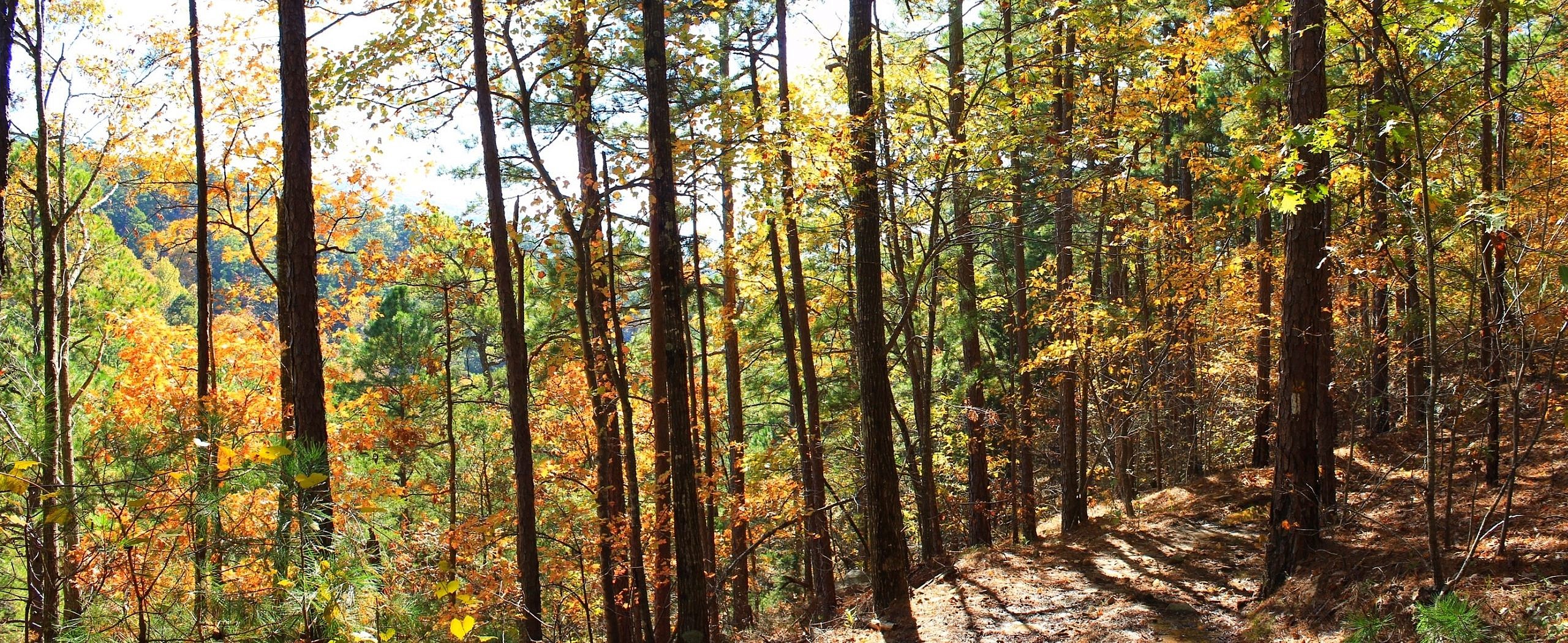
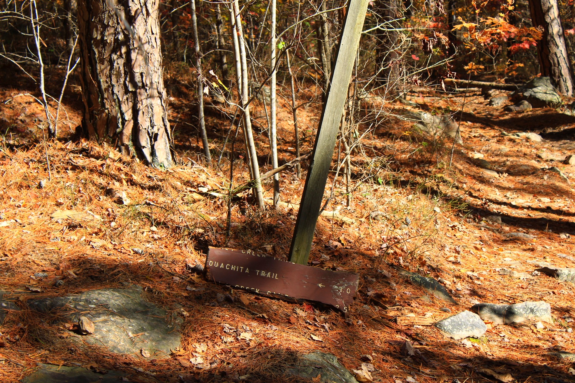
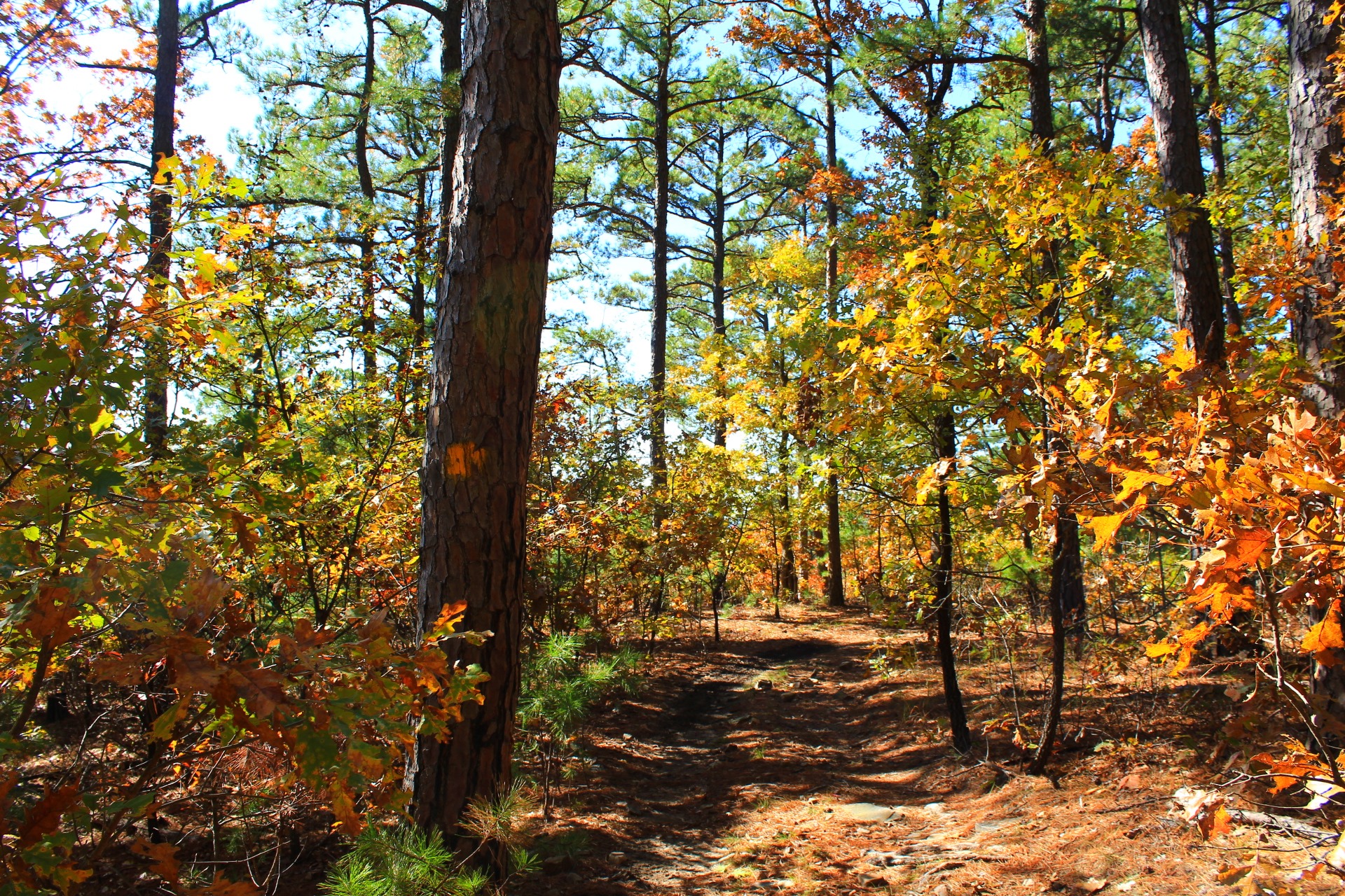
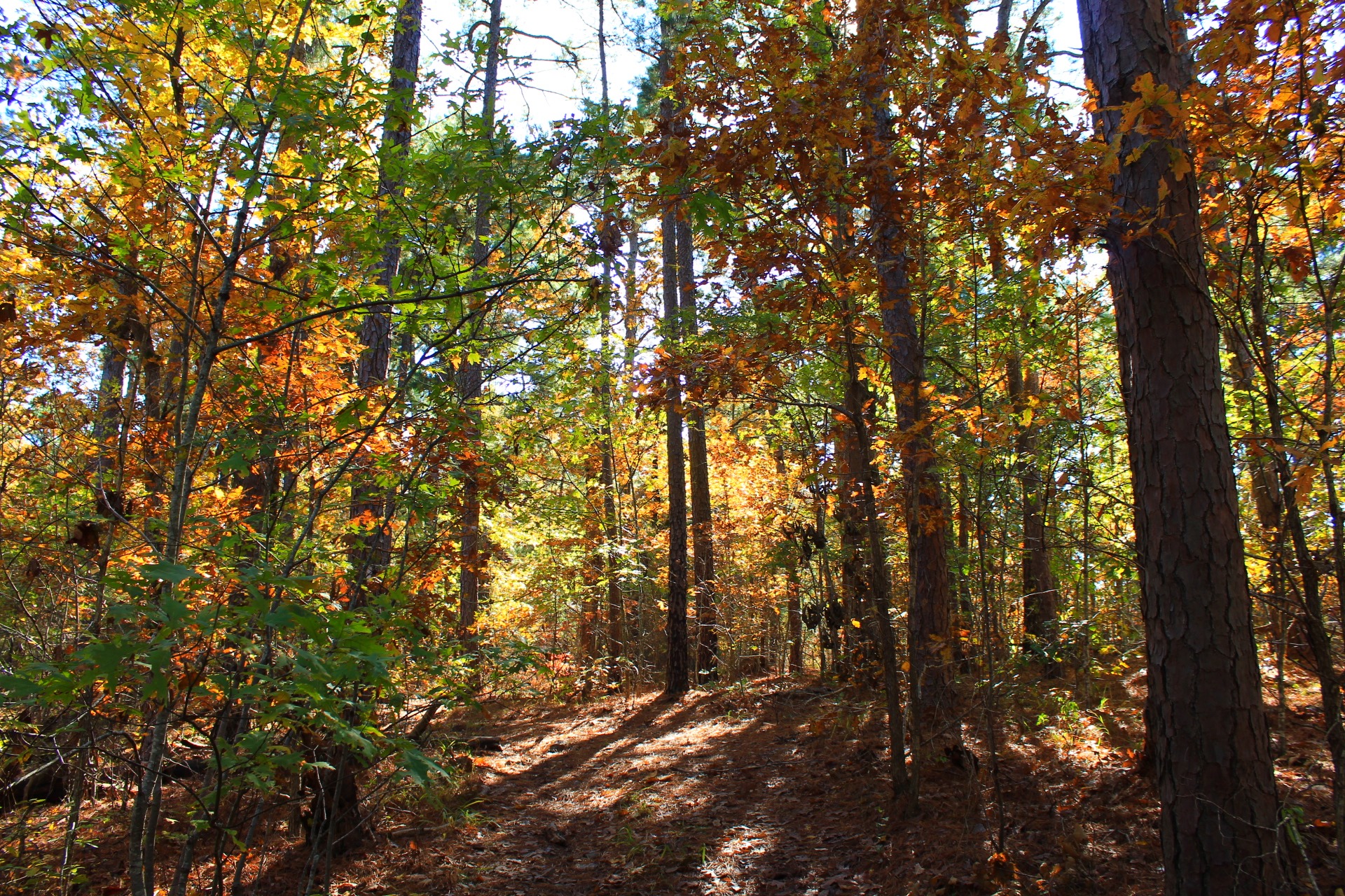
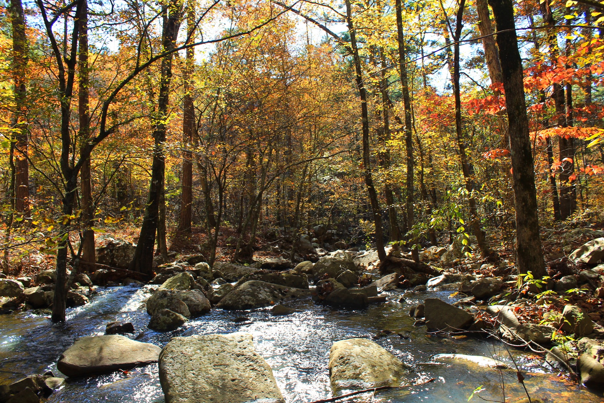
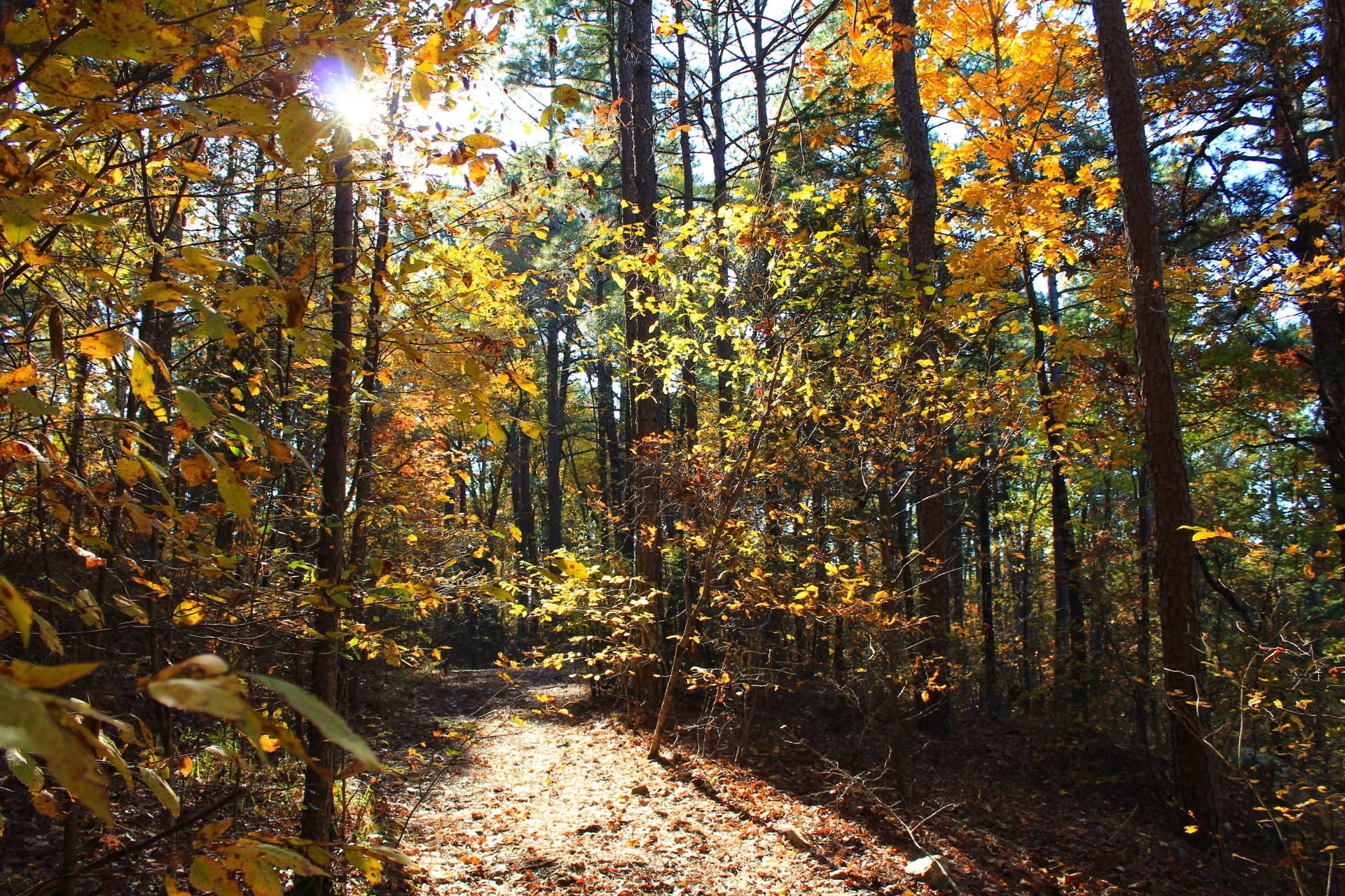
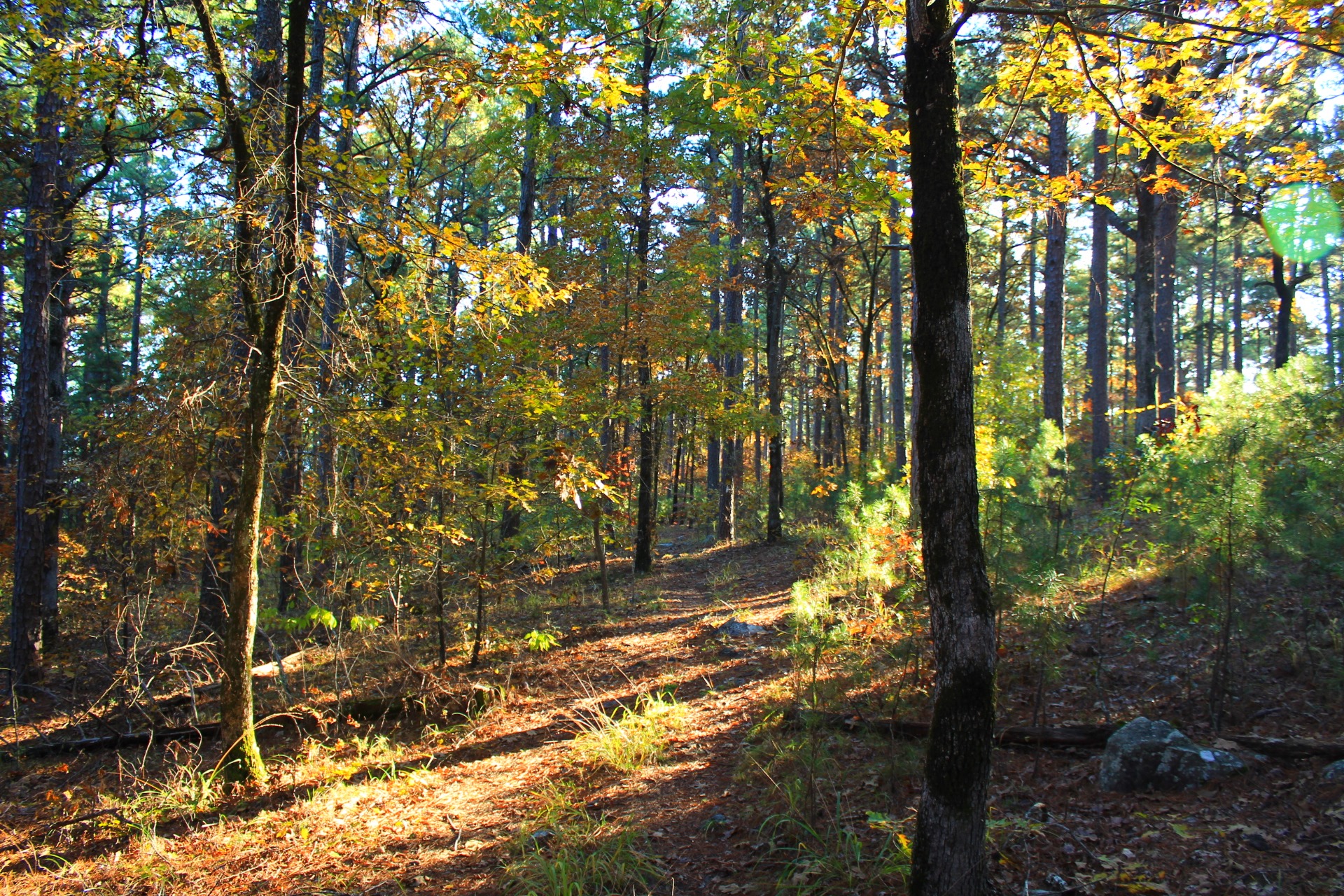
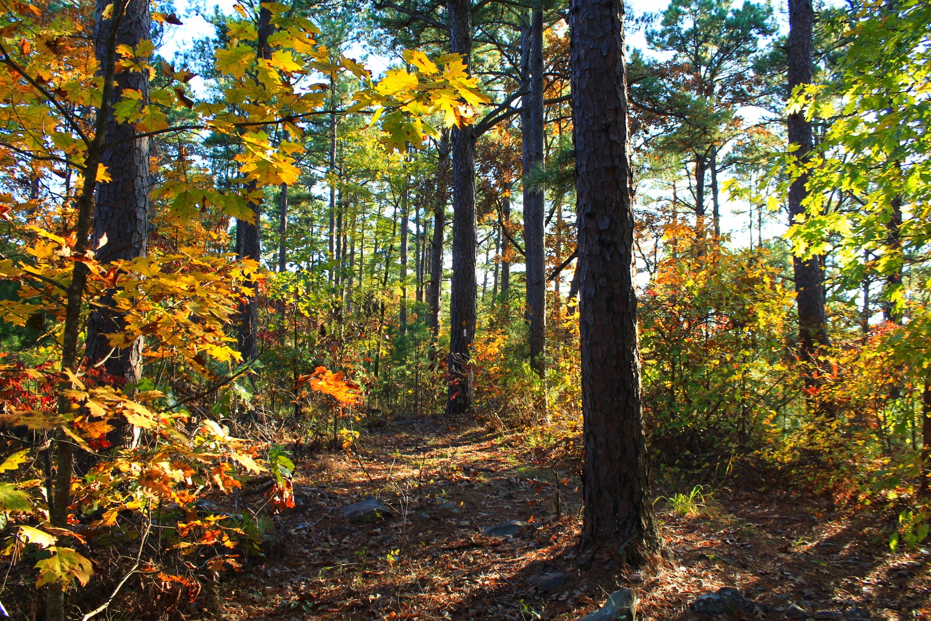
Photo Gallery
Click below for full-screen photo gallery of these and more pics from my November 2019 hike.
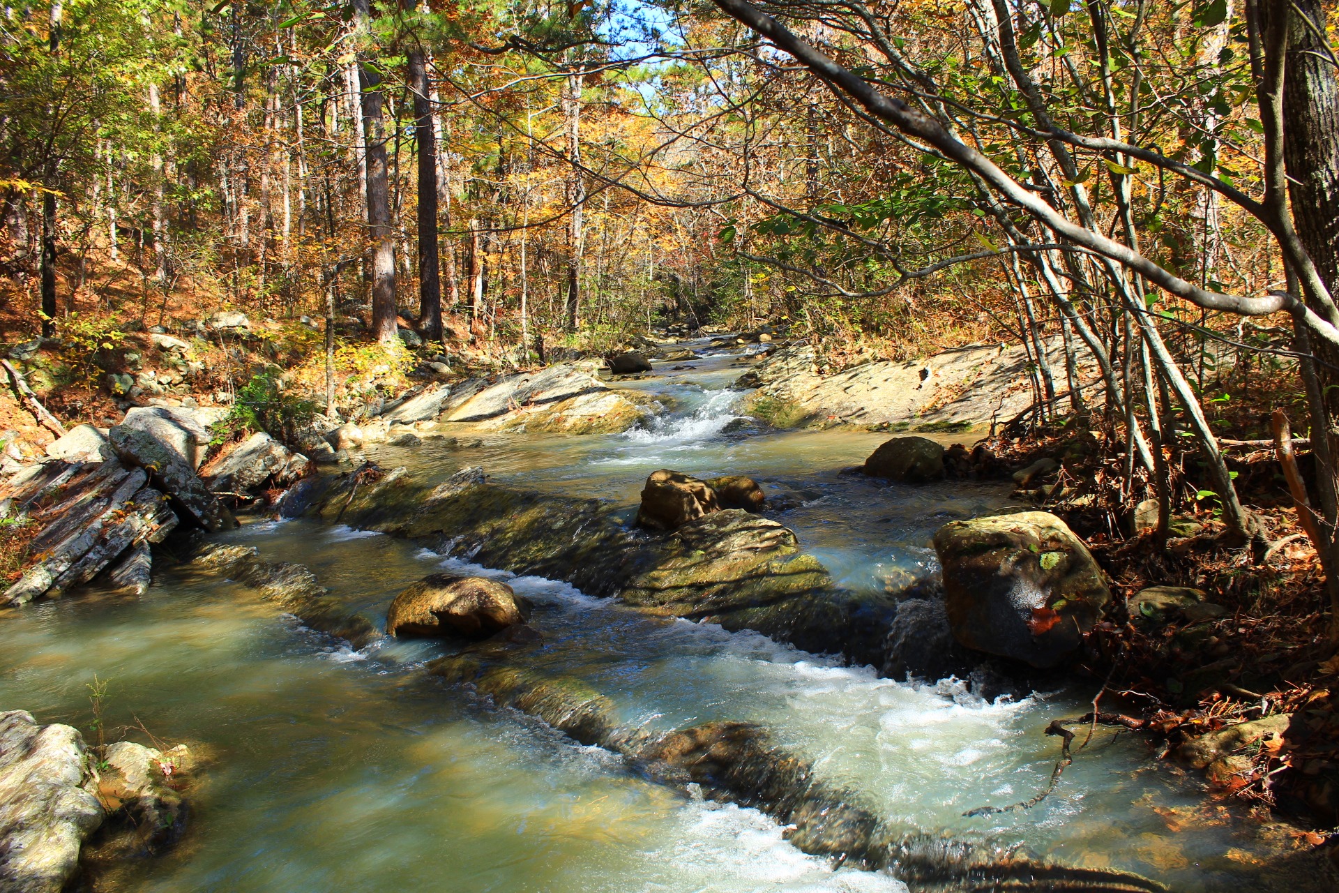
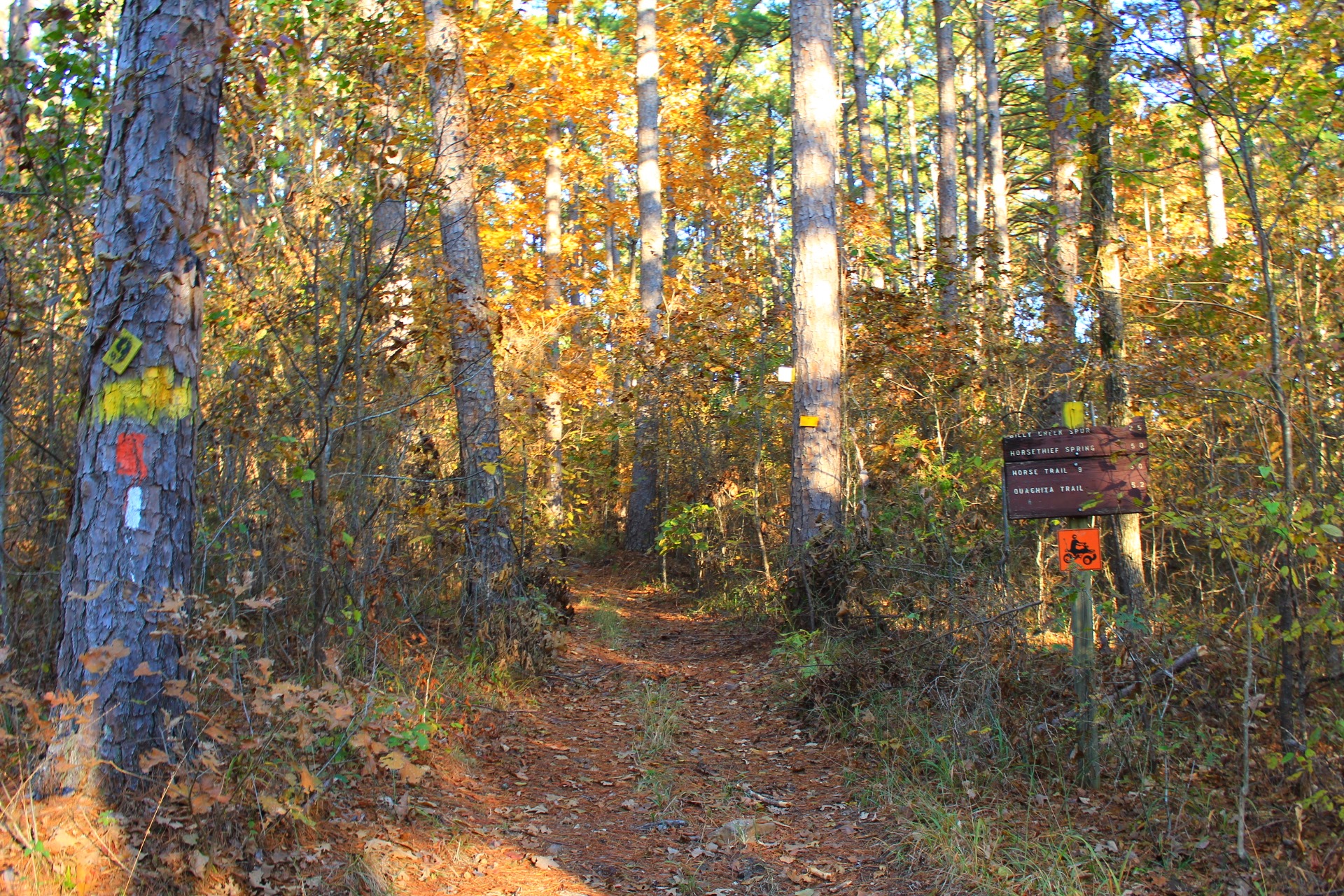
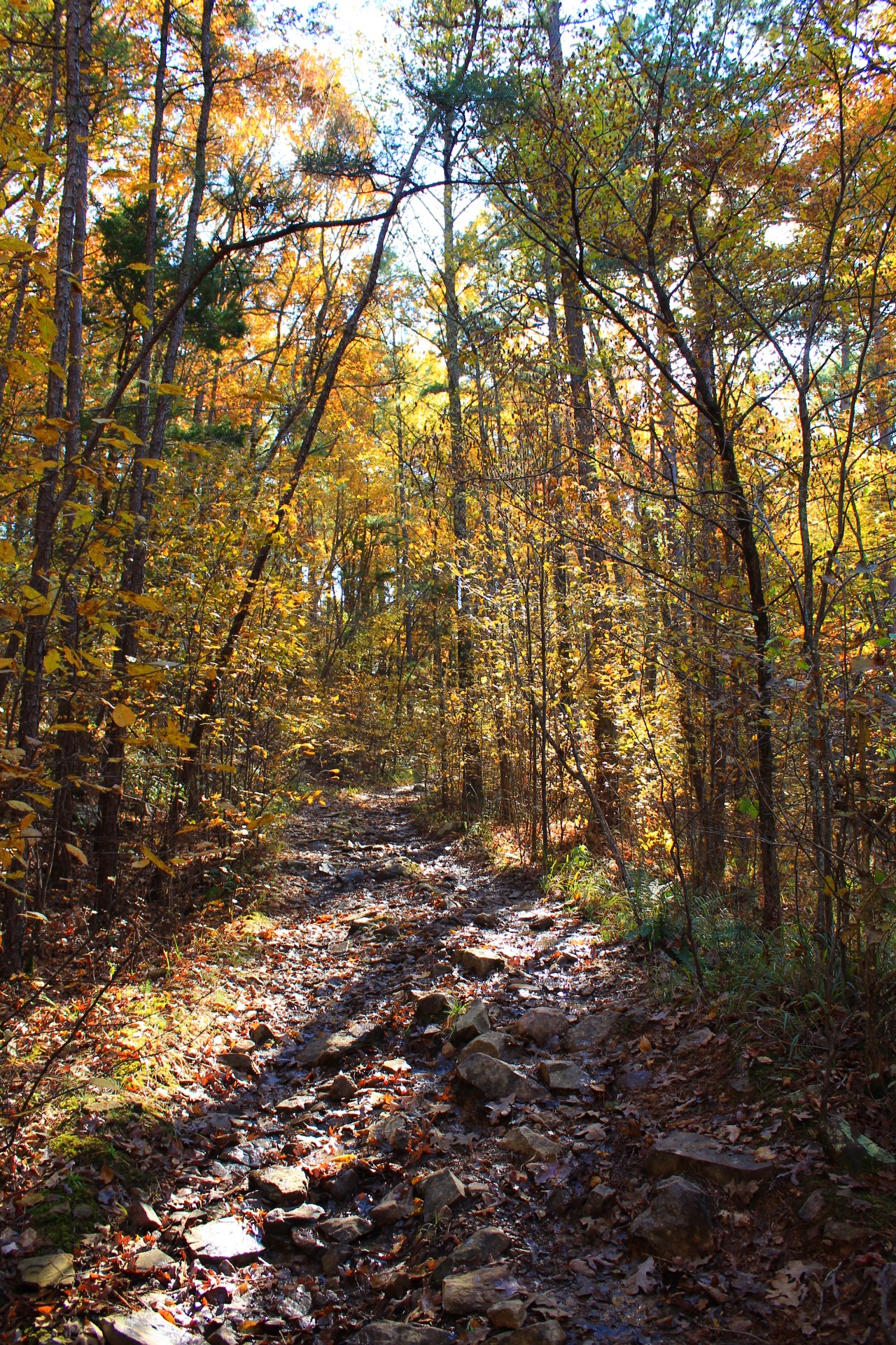
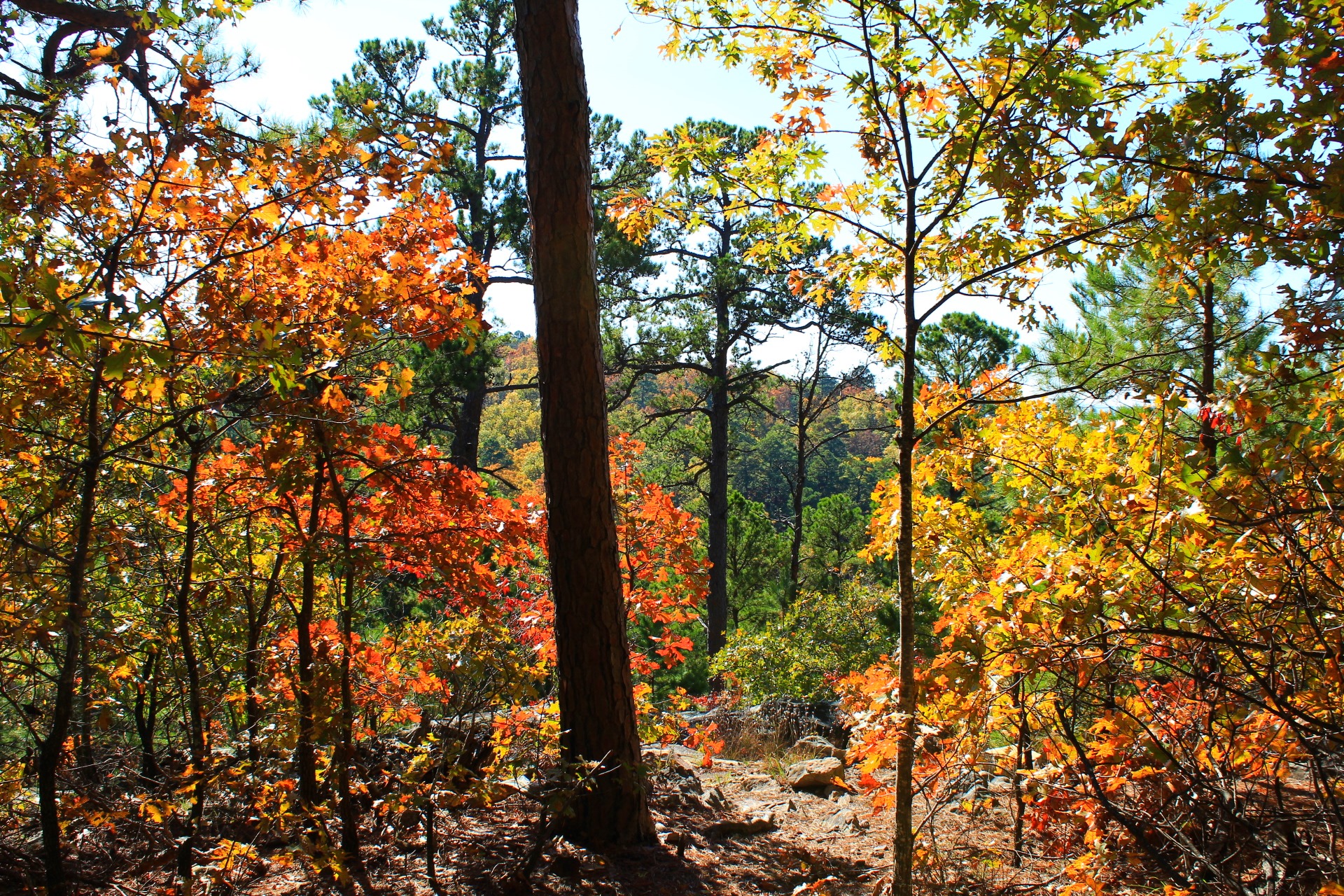
Billy Creek Trail
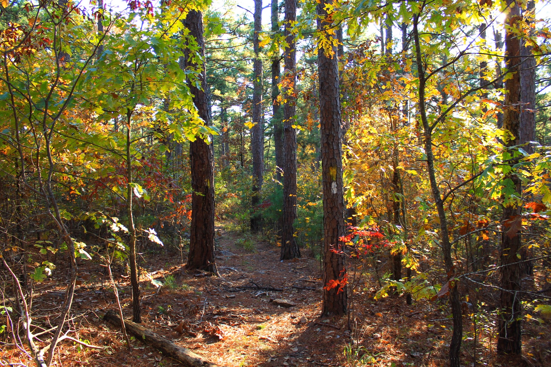
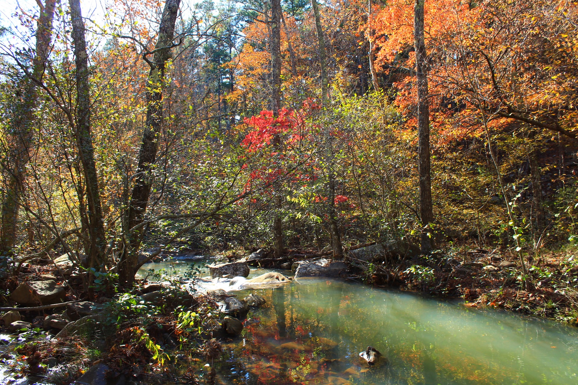
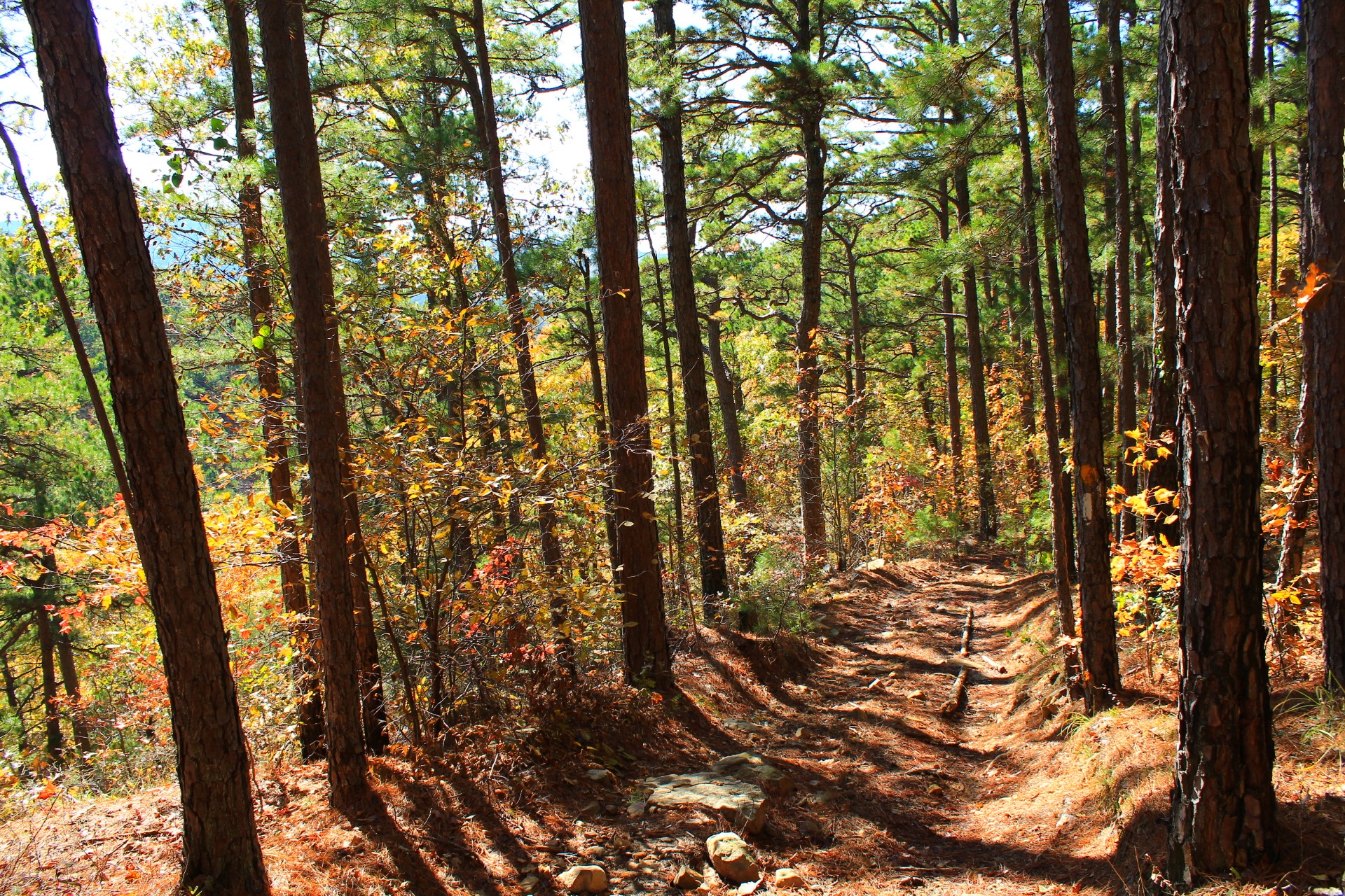
Billy Creek Trail
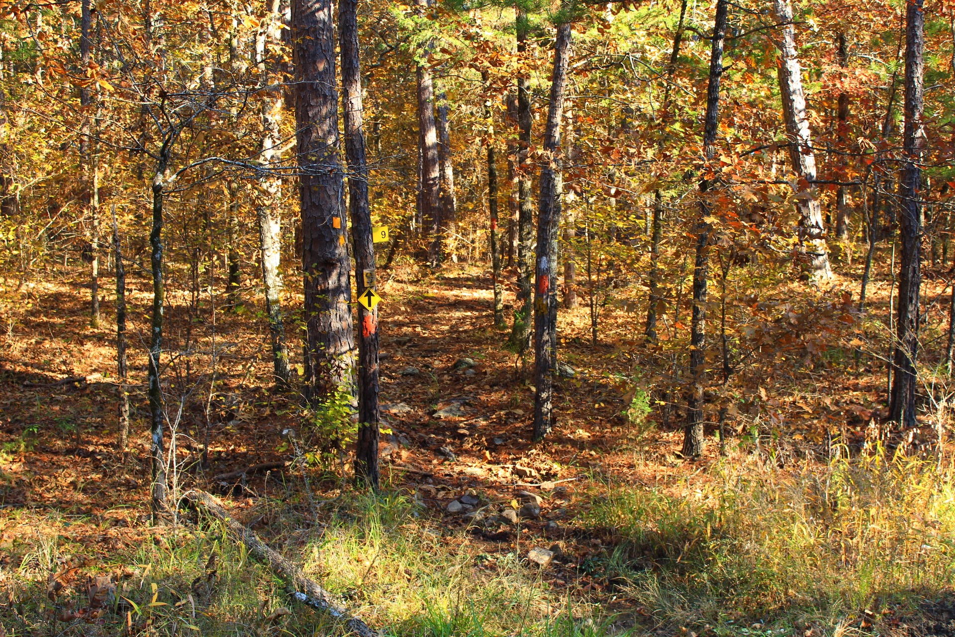
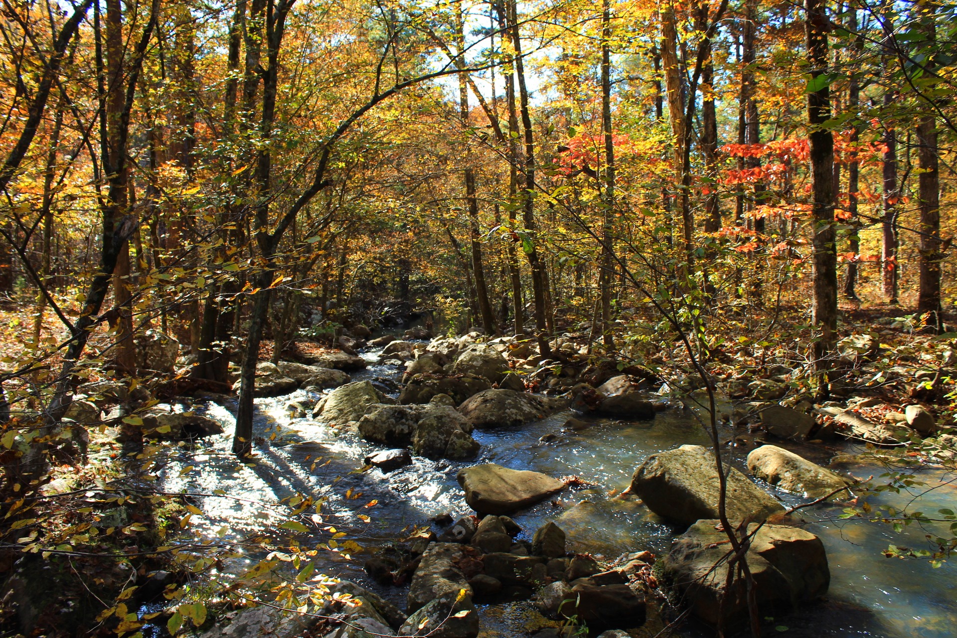
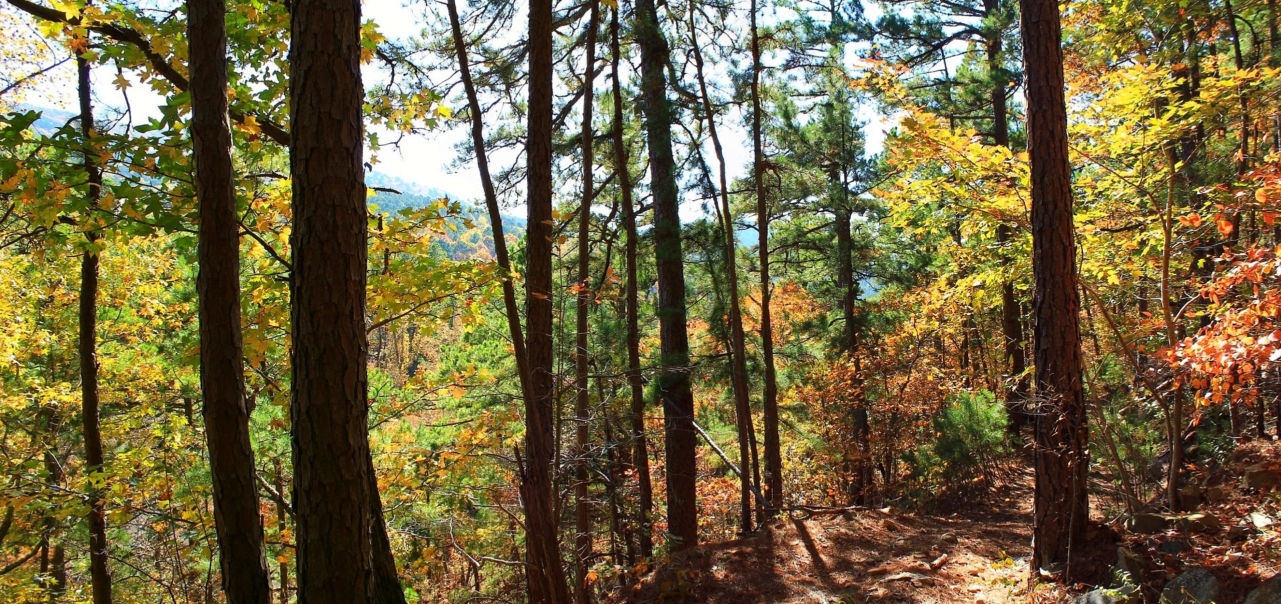
Billy Creek Trail
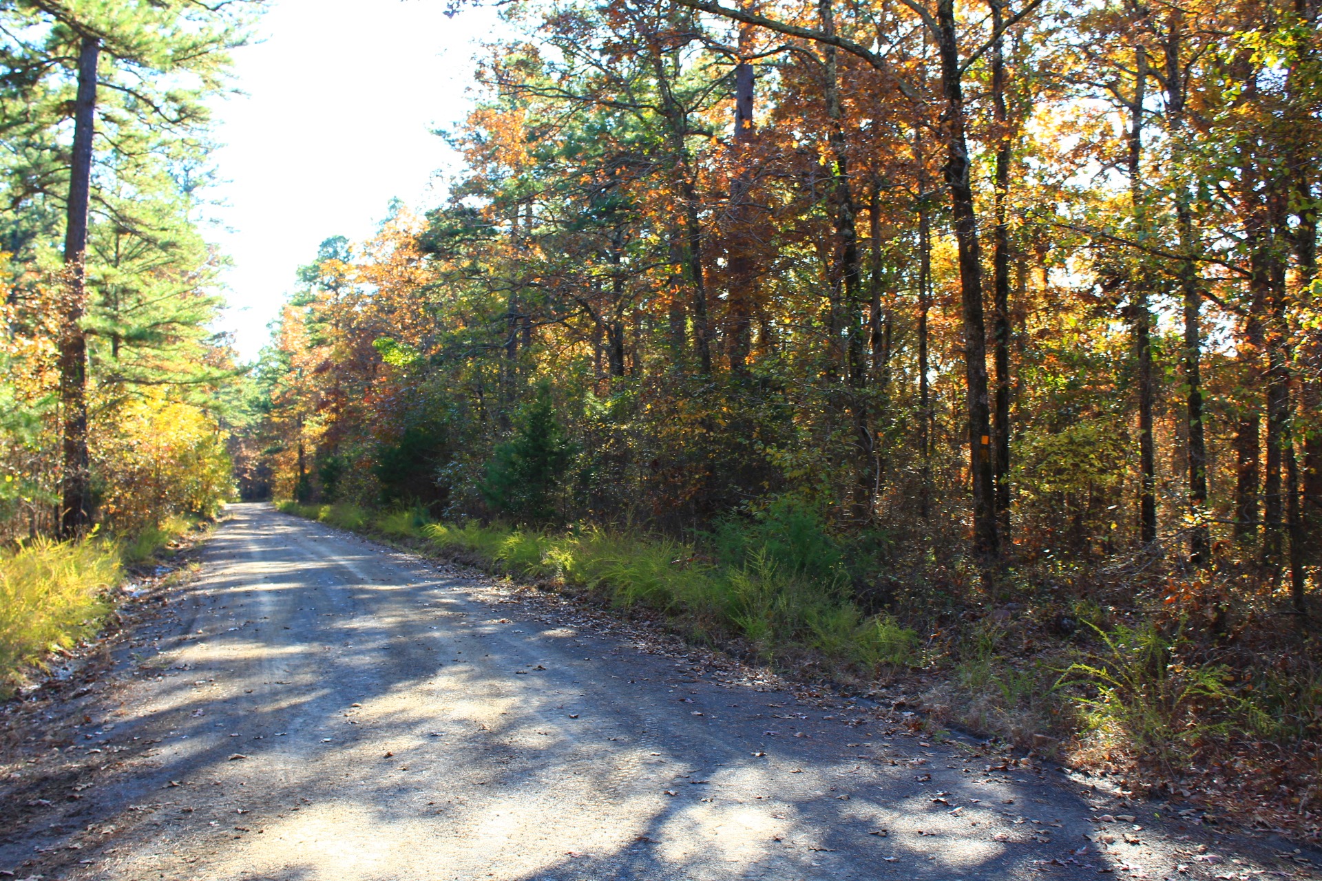
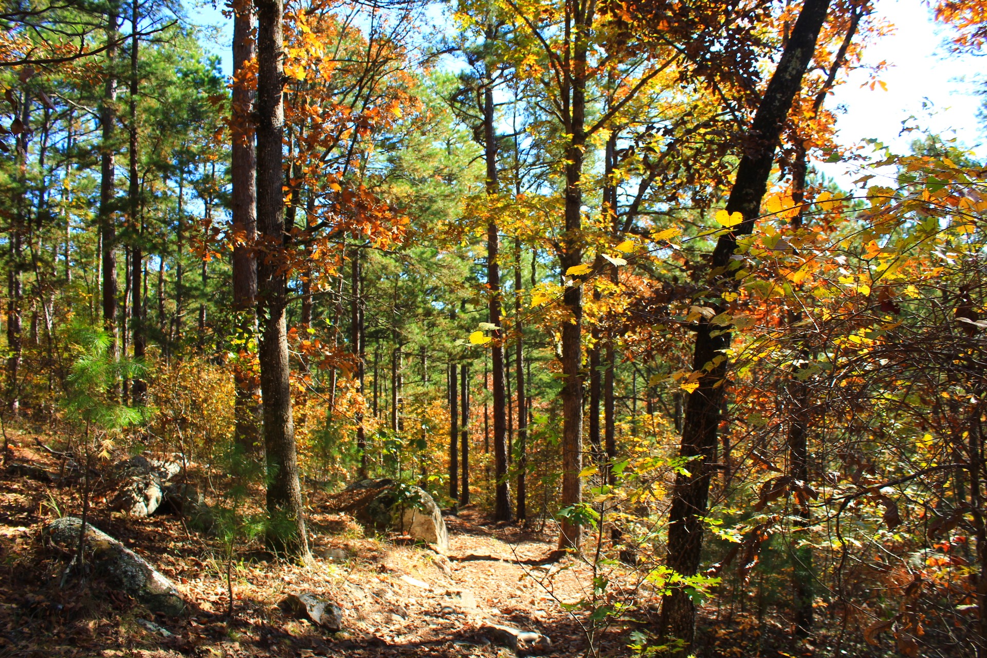
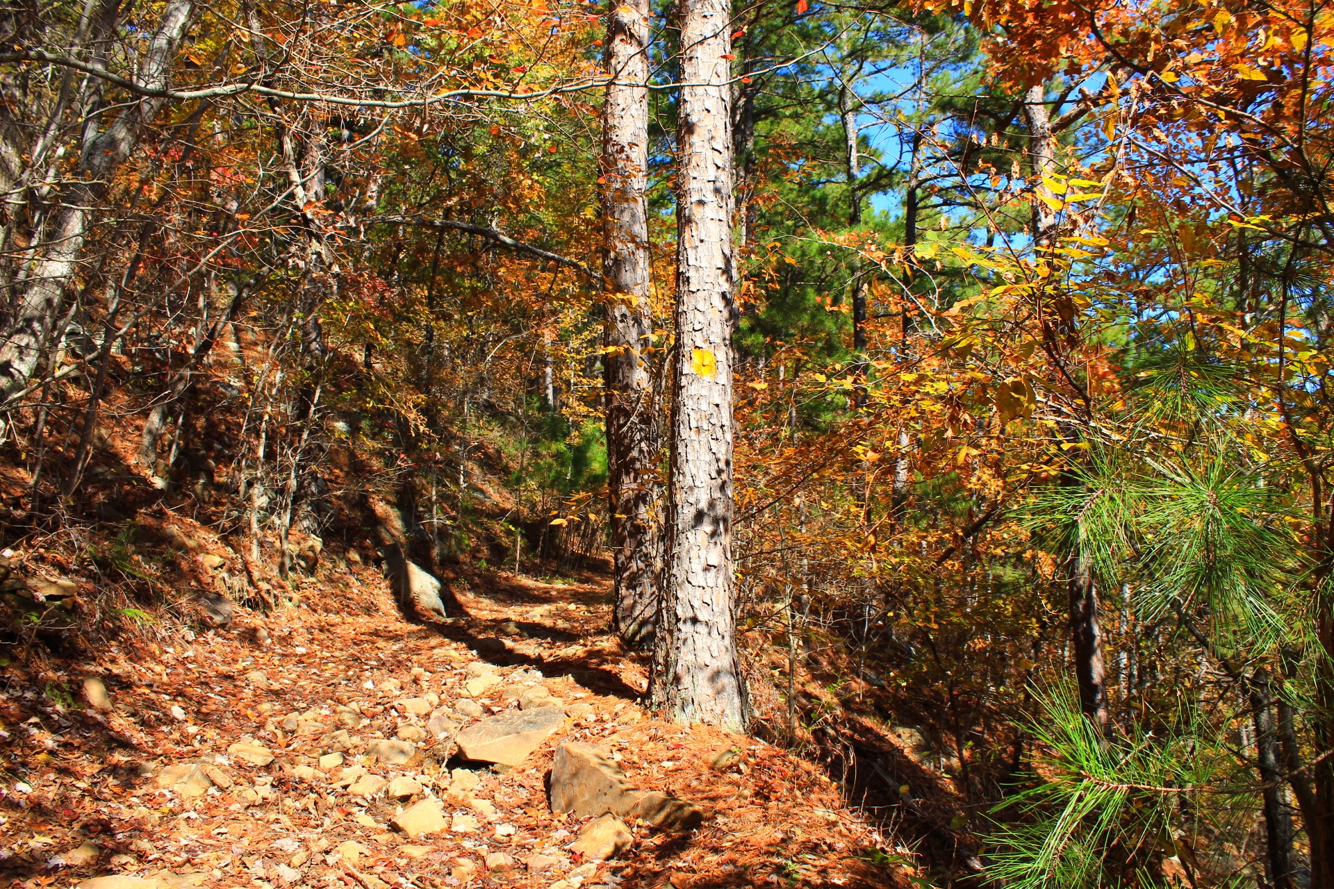
Billy Creek Trail
Billy Creek Trail
Billy Creek Trail
Billy Creek Trail
Billy Creek Trail
Billy Creek Trail
Billy Creek Trail
Billy Creek Trail
Billy Creek Trail
Billy Creek Trail
Billy Creek Trail
Billy Creek Trail
Billy Creek Trail
Billy Creek Trail
Billy Creek Trail
Billy Creek Trail
Billy Creek Trail

Last revised: 5-11-2021.