The Rush Mine Level Trail (2.8 miles as out-and-back) in the lower district of the Buffalo National River (Marion County) is an enjoyable mildly challenging hike through a former mining area. Continue Reading »
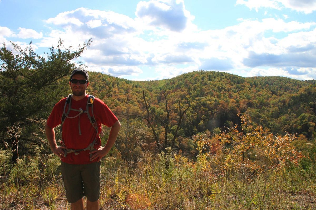
The Rush Mine Level Trail (2.8 miles as out-and-back) in the lower district of the Buffalo National River (Marion County) is an enjoyable mildly challenging hike through a former mining area. Continue Reading »
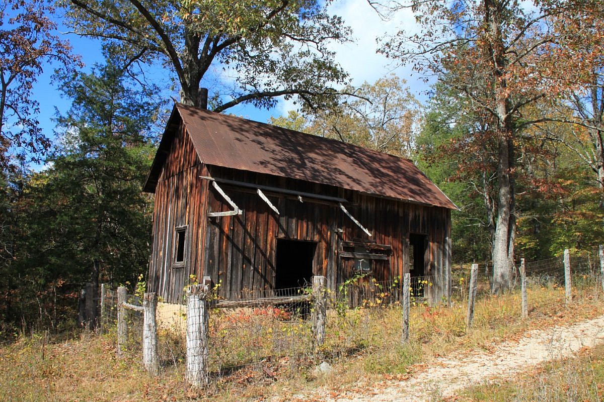
The Morning Star Interpretive Loop is an easy .2-mile loop in the Rush Historic District of the Buffalo National River Lower District (Marion County, Arkansas). It has numerous remnants of the area’s mining town history. Continue Reading »
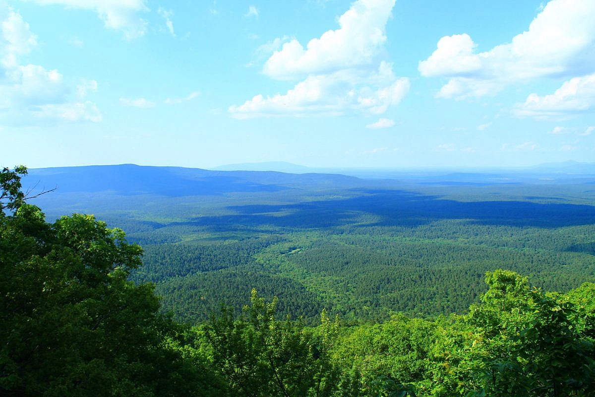
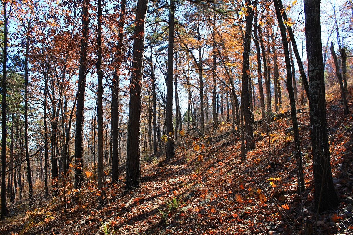
This stretch of the Ouachita Trail Section 1 on Winding Stair Mountain (LeFlore County, OK) goes from Horsethief Springs (19.9) to a stream that becomes Wildhorse Creek (13.4), about 5.5 miles to the west. As an 11-mile out-and-back day hike, it is challenging but doable (for many). Beautiful area with lots of rock formations! Continue Reading »
This is a scenic but challenging 5.5-mile Ouachita Trail Section 1 segment on Winding Stair Mountain (LeFlore County, near Heavener) starting at Deadman’s Gap (about Mile 8, near Deadman Vista overlook) and heading east to a branch that becomes Wildhorse Creek (about Mile 13.4). Continue Reading »
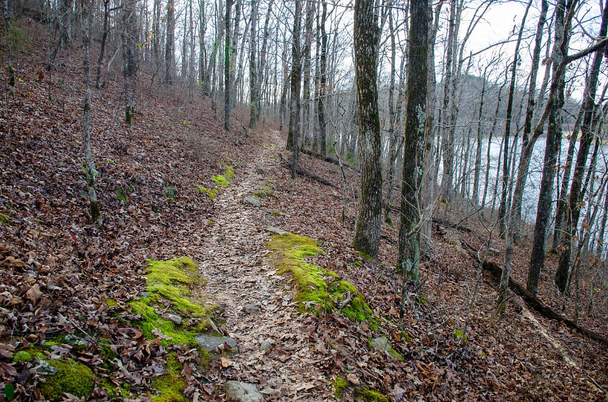
Hiking the Huckleberry Trail at Woolly Hollow State Park (Faulkner County, north of Conway in the foothills of the Ozarks) is a great way to see and explore the entire park. This mildly challenging 3-mile loop showcases the hardwoods and landscape of the area as it circles Lake Bennett, a 40-acre lake built in the […] Continue Reading »
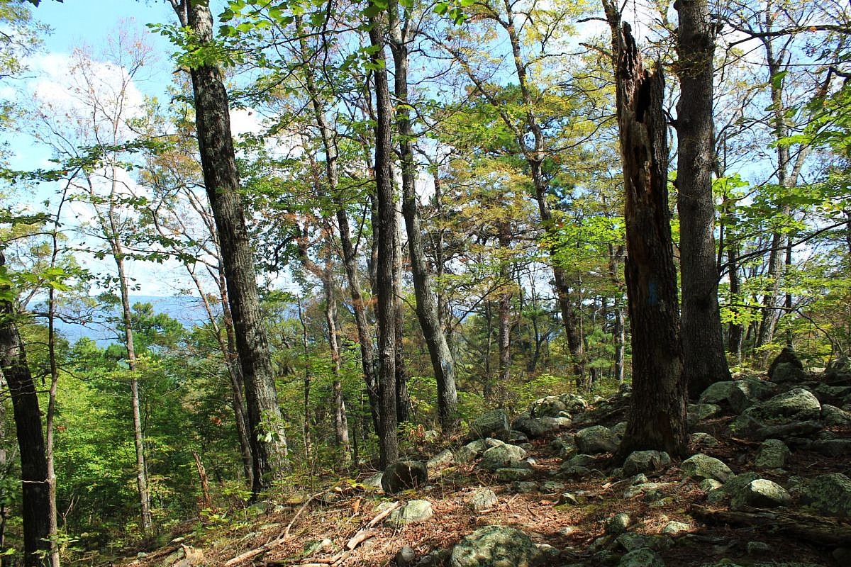
This is a cool 2.1-mile segment of the Ouachita Trail Section 4 that is pretty accessible, not difficult climbing, and a good length for a day hike (4.2 miles as out-and-back). It is in both Scott and Montgomery Counties, a little bit east of Y City. Continue Reading »