Mount Magazine: North Rim Trail – 5 mi (o&b)

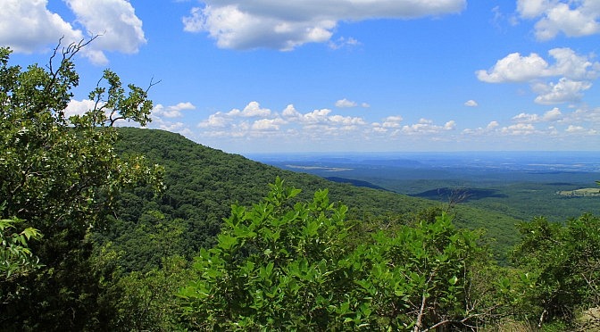
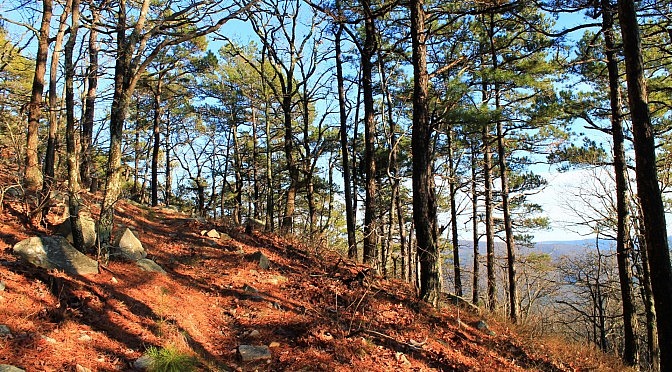
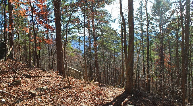
The North Rim Trail at Mount Magazine is one of the 3 trails with the park’s best views. (The other two are Bear Hollow Trail and Benefield East Loop Trail.) The trail runs along the north rim from the visitor center on the east end over to the campground at Cameron Bluff on the west end. […]

Lake Leatherwood: Beacham Trail Pics

Beacham Trail at Lake Leatherwood (Eureka Springs, Carroll County) is a cool 3.2-mile trail that is not very difficult. It makes a loop around the lake and has some nice views, especially at the north end where the trail goes across the dam. The trail profile is in this post. These are some additional photos […]

Robbers Cave: Rough Canyon Trail – 3 mi

One of the cool areas at Hobbs State Park-Conservation Area (Benton County, near Rogers) is the Hidden Diversity Multi-Use Trail. This is a complex of loops and spurs designed for hikers, cyclists, and equestrians. Since it is designed for these multiples uses, it does not feature many steep parts. The Rough Canyon Trail is one […]

Ouachita Trail 02: Pics of Winding Stair TH to Highpoint to Saddle (23.7 to 25.8)

The 2.5-mile segment of the Ouachita Trail from Winding Stair Trailhead to the saddle around mile point 25.8 is a cool one. It’s on Winding Stair Mountain (Ouachita National Forest, LeFlore County, Oklahoma) and goes to the highpoint (at 2,450 feet) before heading downhill to the saddle. Most of the climb to the highpoint is […]

Lake Leatherwood: Beacham Trail – 3 mi

[Note: As of this writing, the part of the trail that goes over the dam is closed since walking is no longer allowed there due to disrepair. Hopefully, at some point it will reopen since the walk across the dam is a beautiful one. 3-13-2022.] I love Lake Leatherwood (Eureka Springs, Carroll County). It’s a […]

Ouachita Trail 02: Pics of Pashubbe TH to Kiamichi River TH (Wilton Mtn.) (34.3 – 39.2)

Back in early December, I hiked the 4.8 mile Ouachita Trail Section 2 segment that climbs over Wilton Mountain (LeFlore County, Oklahoma), an offshoot of Rich Mountain. It goes from the Pashubbe Trailhead (mile point 34.3) to the Kiamichi River Trailhead (mile point 39.2). I did it as a 9.6-mile out-and-back hike. It’s a vigorous […]