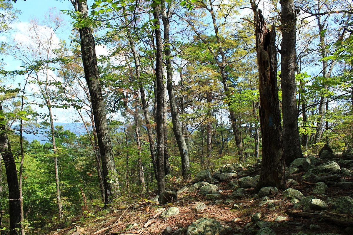
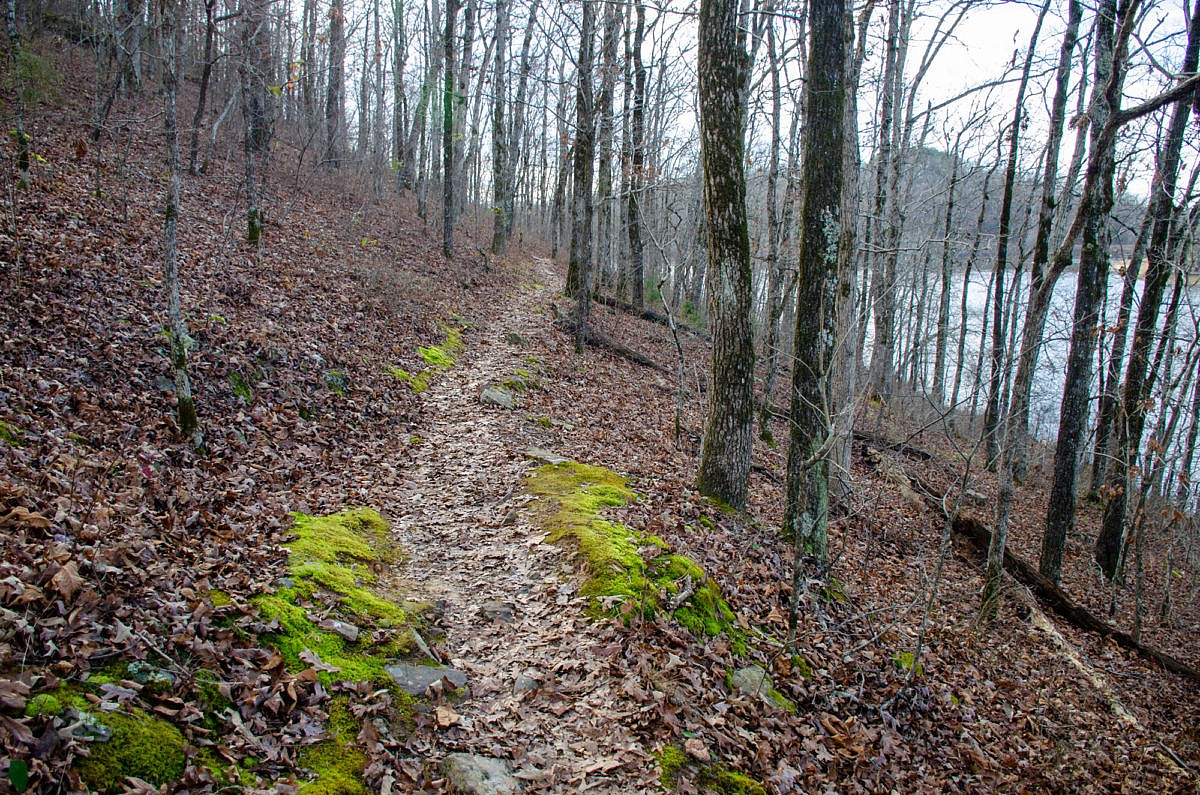
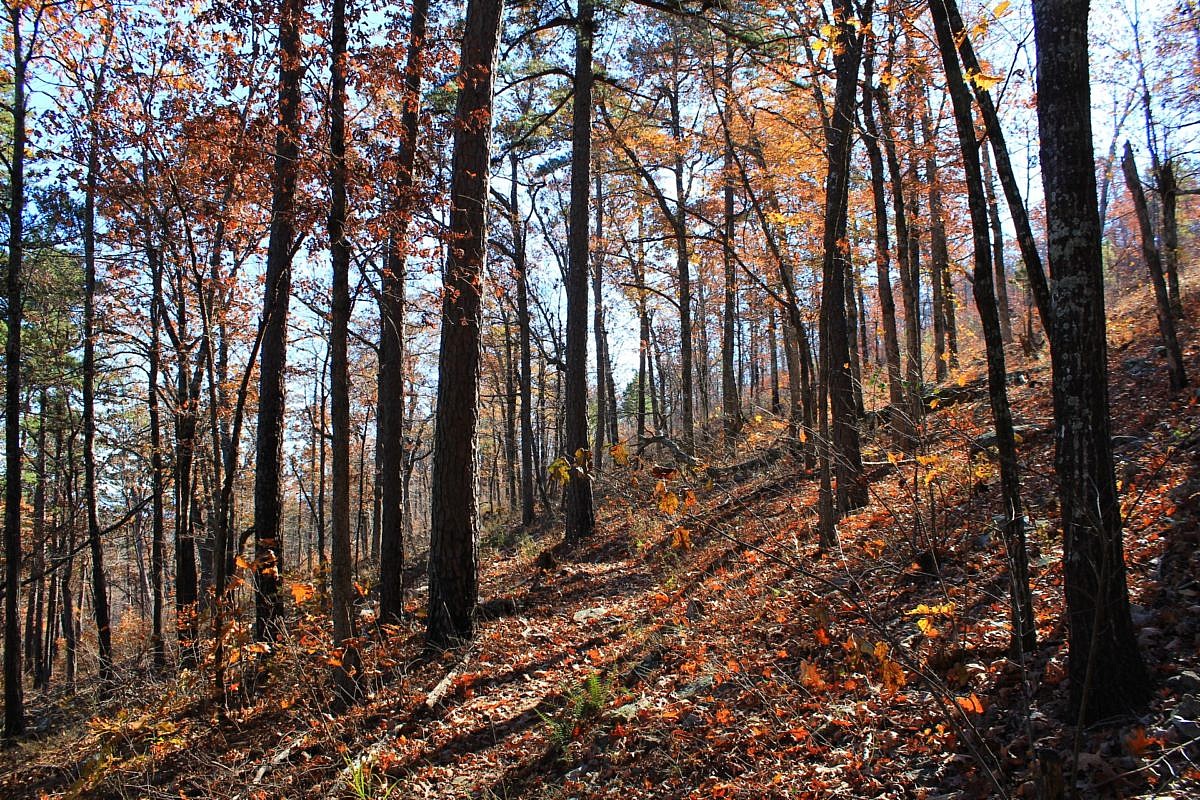
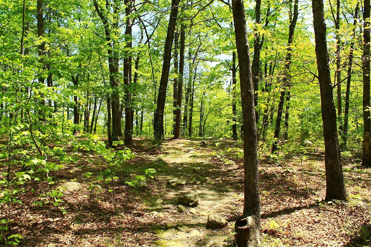
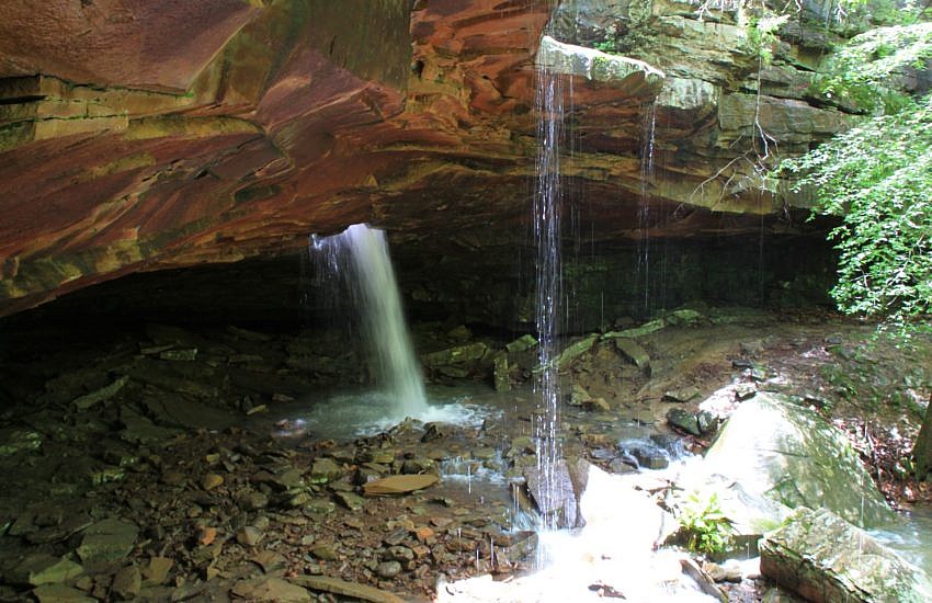
This stretch of the Ouachita Trail Section 1 on Winding Stair Mountain (LeFlore County, OK) goes from Horsethief Springs (19.9) to a stream that becomes Wildhorse Creek (13.4), about 5.5 miles to the west. As an 11-mile out-and-back day hike, it is challenging but doable (for many). Beautiful area with lots of rock formations!
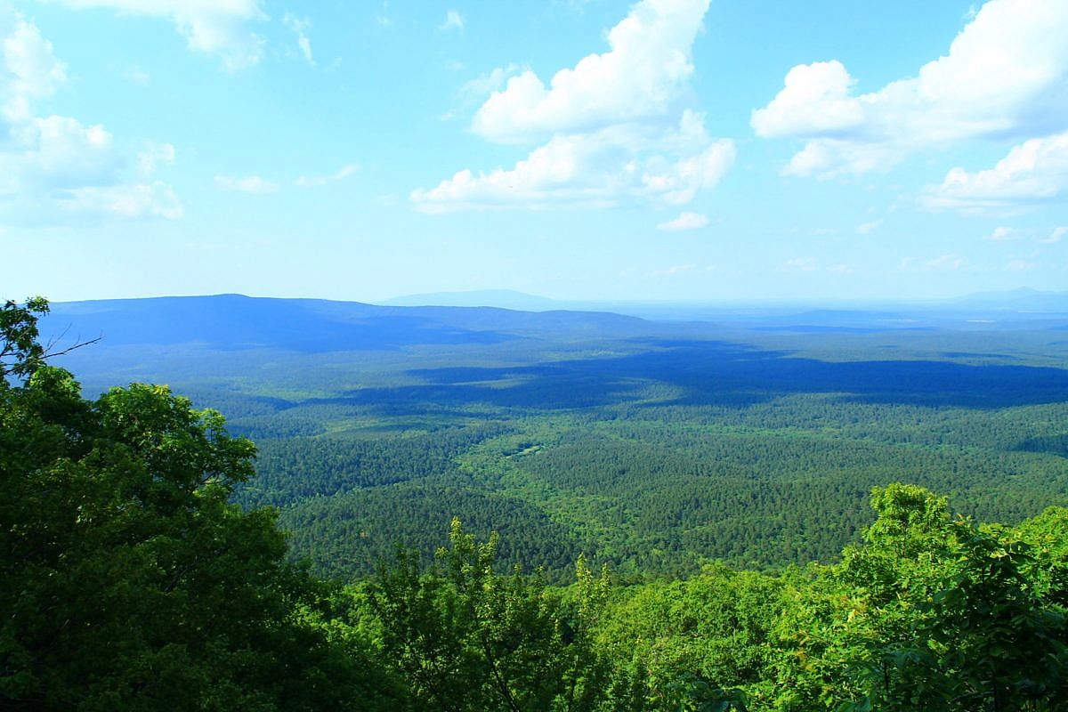
Tag: Profile
Trail profiles with photos and info about Arkansas and East Oklahoma trails.
This is a scenic but challenging 5.5-mile Ouachita Trail Section 1 segment on Winding Stair Mountain (LeFlore County, near Heavener) starting at Deadman’s Gap (about Mile 8, near Deadman Vista overlook) and heading east to a branch that becomes Wildhorse Creek (about Mile 13.4).
Hiking the Huckleberry Trail at Woolly Hollow State Park (Faulkner County, north of Conway in the foothills of the Ozarks) is a great way to see and explore the entire park. This mildly challenging 3-mile loop showcases the hardwoods and landscape of the area as it circles Lake Bennett, a 40-acre lake built in the […]
This is a cool 2.1-mile segment of the Ouachita Trail Section 4 that is pretty accessible, not difficult climbing, and a good length for a day hike (4.2 miles as out-and-back). It is in both Scott and Montgomery Counties, a little bit east of Y City.
This 3.8-mile stretch on Section 2 of the Ouachita Trail from Big Cedar Trailhead (on Highway 259, LeFlore County, OK, Ouachita National Forest) to the Pashubbe Trailhead is an accessible and moderately challenging hike. It makes about an 8-mile out-and-back day hike with a couple of seasonal stream crossings and a few ponds.
Glory Hole Falls is one of the most unique waterfalls in the Ozarks. The waterfall is formed by a stream that flows through the ceiling of an overhang cave. When the water is really flowing, the hike to this unique adds to the spectacular appeal of this short trail.