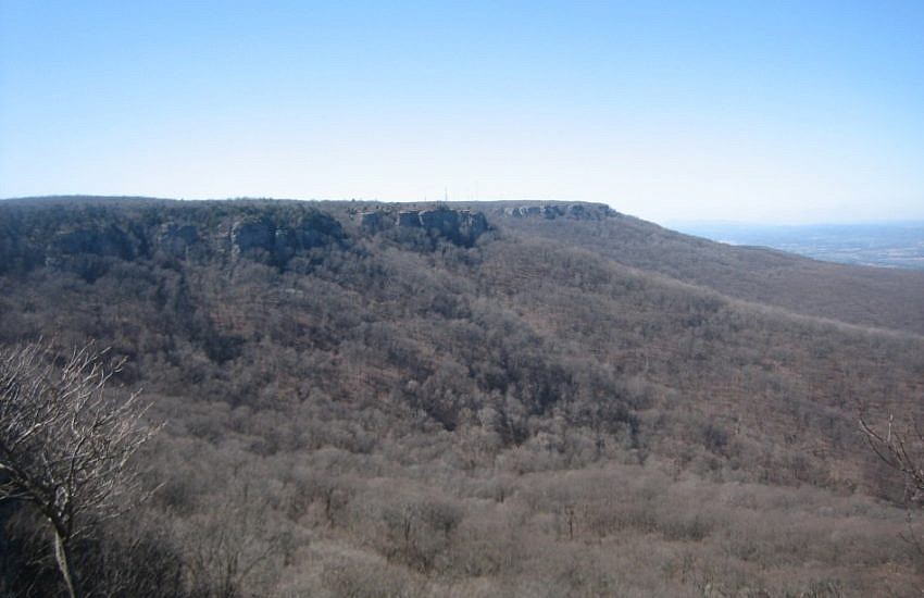
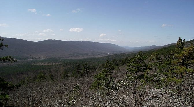
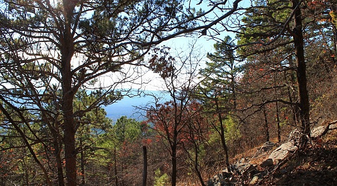
This 4.8 mile Ouachita Trail Section 2 segment (9.6 miles out and back) just to the east of the Winding Stair National Recreation Area (LeFlore County, Oklahoma) climbs over Wilton Mountain, an offshoot of Rich Mountain. As an out-and-back hike, it’s quite vigorous with 2,100 feet of total ascent. It has some beautiful views from Wilton […]
Tag: Miles: 9+
The western part of the Caney Creek Trail is a wonderfully scenic hike through the Ouachita National Forests’s Caney Creek Wilderness. It is a hike of 11.4 miles (5.7 miles each way) and has 22 wet crossings (11 miles each way), but it is well worth the effort. The Caney Creek Trail runs 9 miles from […]
The Mount Magazine Trail begins in Mount Magazine State Park on the north rim of Arkansas’s highest mountain. It ends at Cove Lake in the Ozark National Forest, 9.8 miles to the north. This is a point-to-point hike, but with three trailheads, there is plenty of flexibility in how it is hiked.
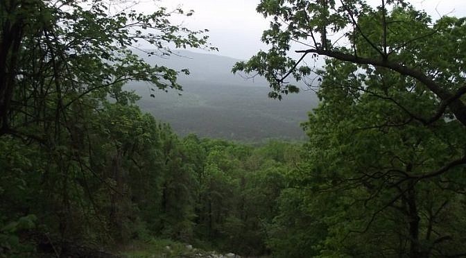
The Black Fork Mountain Trail, in western Arkansas near Mena, is a cool but challenging hike. It’s about 5.6 miles each direction, making it an 11.2 mile out-and-back hike. And it’s a pretty good climb up Black Fork Mountain, one of the highest mountains in Arkansas. (Check out Mara’s full trail review here.) Most of […]
[This post was originally published March 19, 2011 on “A Hiking We Will Go.” ] The Butterfield Hiking Trail is a 15-mile loop with the trailhead in Devil’s Den State Park near West Fork, Arkansas. The state park is located next to the Ozark National Forest. Ten miles of the trail run the national forest. […]
Last Saturday I had an eventful hike on the Ouachita Trail. I was on Section 4, just east of Highway 71 on East Fourche Mountain.Some hot hiking, lots of thunder and lightning, and an hour-long thunder shower. And I saw a bear. One of my goals is to day hike the entire Ouachita Trail in […]