The Black Fork Mountain Trail, in western Arkansas near Mena, is a cool but challenging hike. It’s about 5.6 miles each direction, making it an 11.2 mile out-and-back hike. And it’s a pretty good climb up Black Fork Mountain, one of the highest mountains in Arkansas.
(Check out Mara’s full trail review here.)
Most of the time when I do a mountain trail, the trail usually doesn’t go all the way up to the highest peak of the mountain. But this trail actually ends on the mountain’s highest peak. And there is a great view from there.
Black Fork Mountain, like many of the Ouachita Mountains, runs east to west. It is in the Ouachita National Forest and is parallel to and a few miles north of Rich Mountain, home of Queen Wilhelmina State Park.
To begin, start at the Ouachita Trail Eagle Gap trailhead. It is about 10 miles east of the Oklahoma border on Highway 59/270, and has parking available.
Starting from the trailhead, head east on the Ouachita Trail (blue blazes) for about a mile (i.e., don’t cross the highway). The trail first crosses the Ouachita River (which seemed more like a creek to me) and then a set of railroad tracks.
At about a mile in, the Black Fork Mountain Trail (white blazes) branches off to the left.
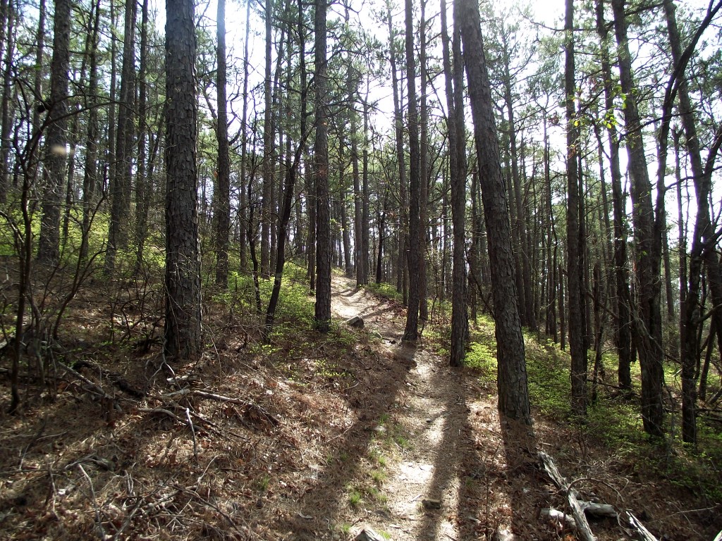
Most of the next mile or two is spent climbing up the eastern ridge of the mountain on a former forest road. The official Black Fork Mountain Wilderness Area starts in this stretch of the trail.
At around 3 miles, the trail hits a summit with an elevation of around 2,500 feet. Then the trail heads downhill and turns south toward the highway.
At this point, it’s easy to get fooled (as I was) and think that you have already reached the highest point of the trail and that it is going to end near the highway. Nope. The trail descends around 300 feet and then starts the climb up to the highest summit. (The two summits are probably the reason for the “Fork” in the mountain’s name.)
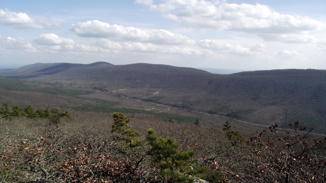
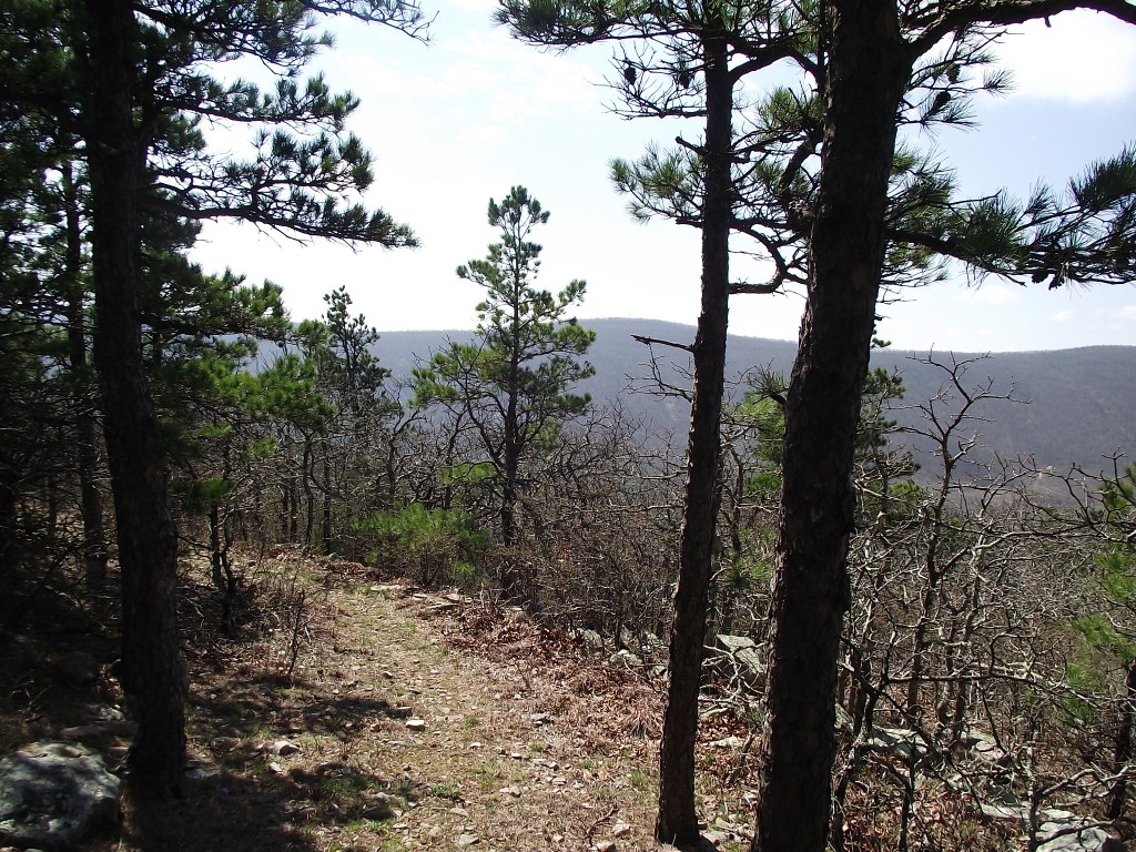
The trail ends at about 5.6 miles and at an elevation of around 2,625 feet. The view at the main (the second and highest) summit is is awesome. I would estimate a 240-degree viewing area from there. There is a clear view of the Queen Wilhelmina Lodge on nearby Rich Mountain. This summit is actually a higher elevation than the lodge. There are also quite a few pretty views along the way up the mountain.
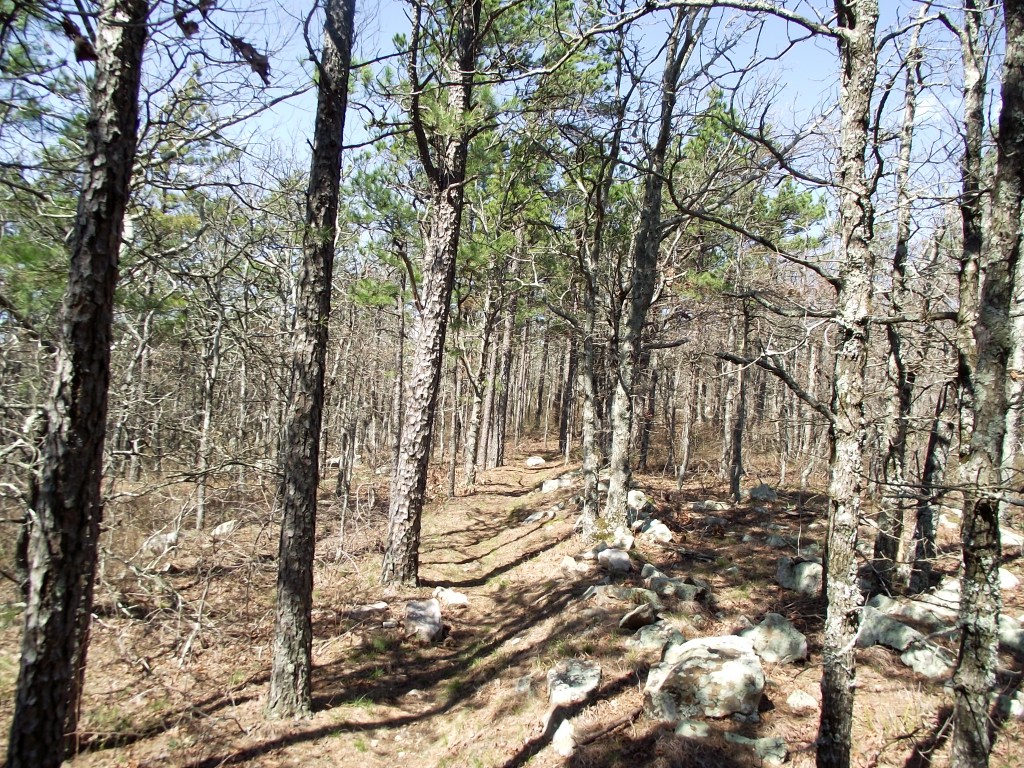
Most of the trail (except a few spots toward very end) was in great shape, other than some issues with blazes. There were some very long stretches with no blazes and quite a few with only faded blazes. I did not have much trouble finding the trail though.
Be sure to watch your time and get an early start if you intend to do the hike in one day. I ended up hiking about half of the return trip in the dark with my flashlight. Thankfully, the bugs were not out yet. I was exhausted and kind of nauseous when I reached my car at 9:40 p.m. It was a cool hike though.
If you plan to make it a two-day hike, there is a good area to pitch a tent at around 3.5 miles in the first summit area.
The net elevation gain (i.e., the difference between the highest and lowest points) is 1,047 feet. However, the cumulative elevation gain (i.e., the total of the uphill climbing) is 1,770 on the climb up the mountain with 723 feet of additional uphill climbing (due to the ups and downs of the trails) on the return trip.
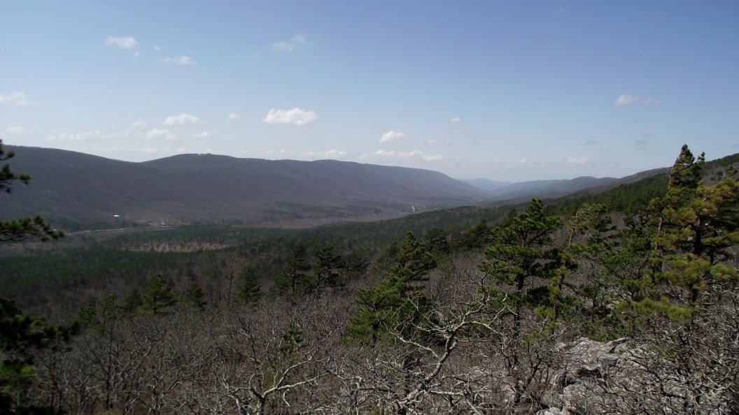
Photo Gallery
Click below for full-screen photo gallery.
[Last revised: 4-5-2020]