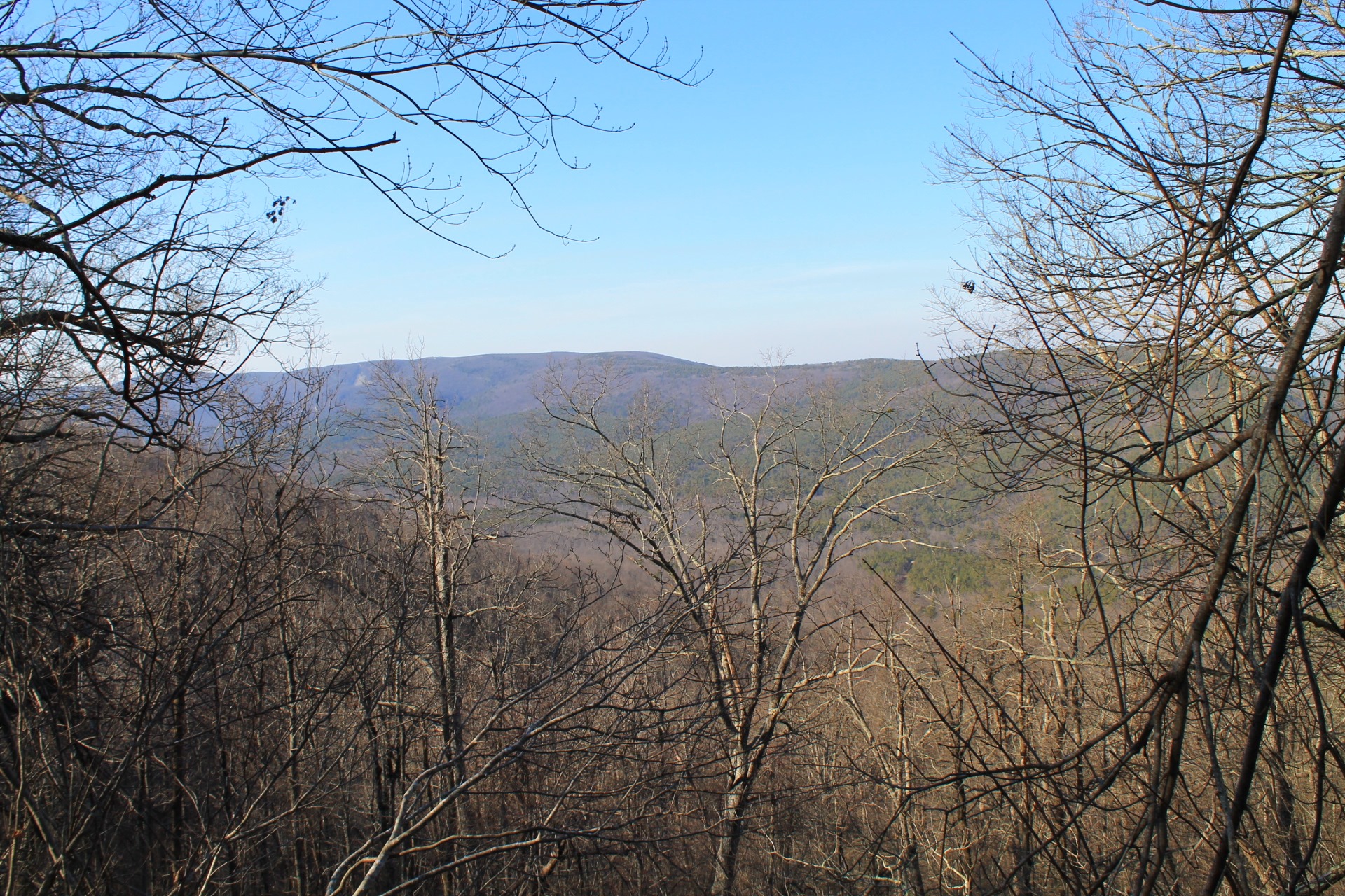
The 2.6 mile stretch of Section 3 of the Ouachita Trail from the Highway 270 (Black Fork Mountain Wilderness) Trailhead (Polk County, Arkansas) to the Talimena Scenic Drive (Highway 88) crossing is a pretty but strenuous hike with some very nice views. (My full profile of this stretch of trail is here.)
This part of the Ouachita Trail climbs from 270 up the north side of Rich Mountain.
If you do it as an out-and-back hike starting at Highway 270, it is a pretty good workout. The elevation increase is nearly 1,000 feet, and that is nearly all in the first 1.5 miles.
These are some additional photos from my February 2016 hike of this stretch of the OT.
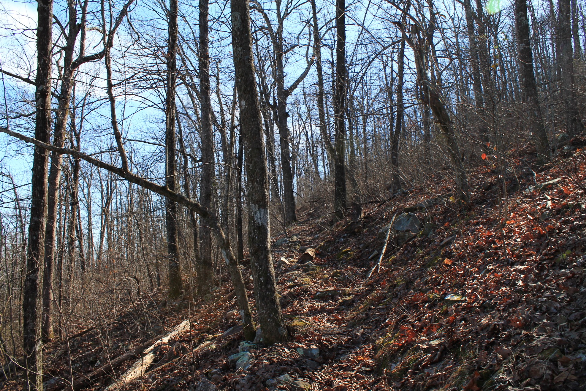
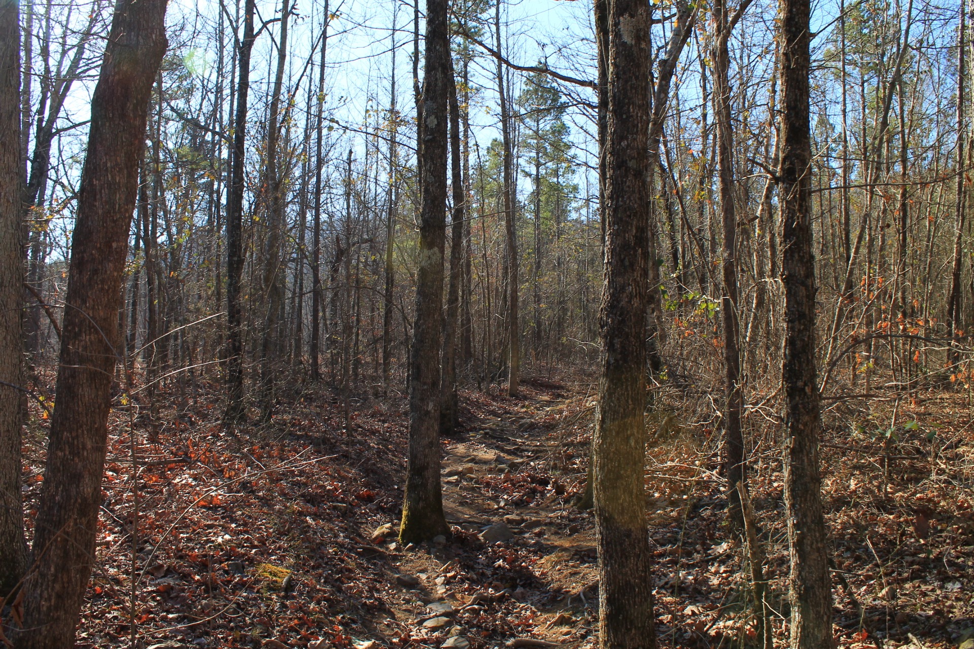
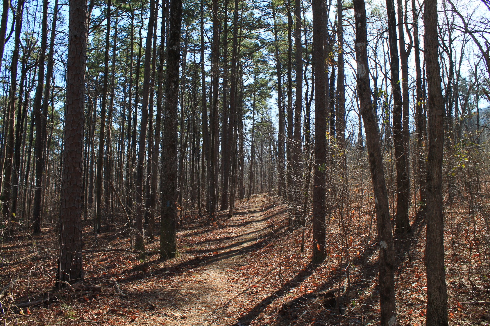
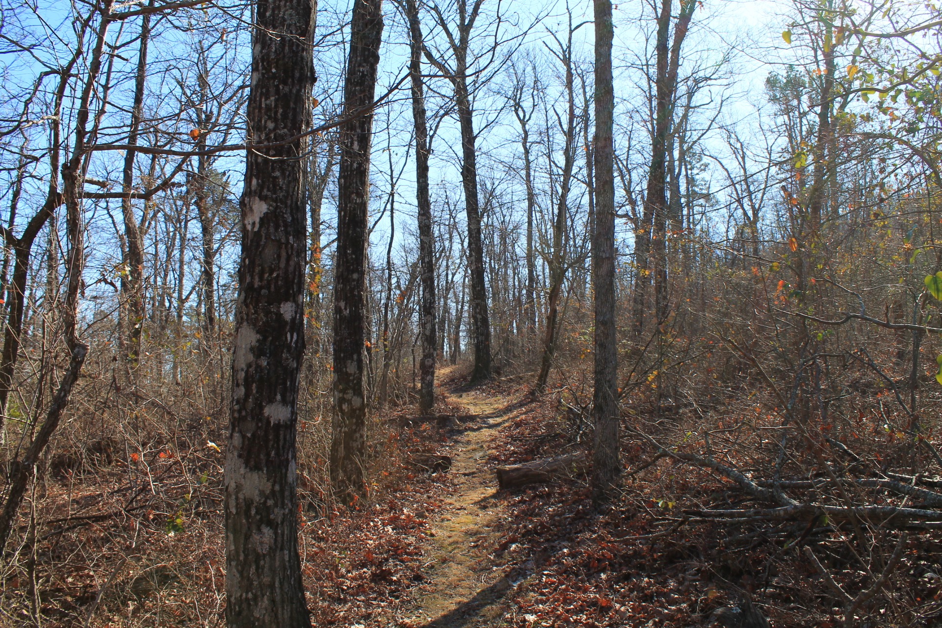
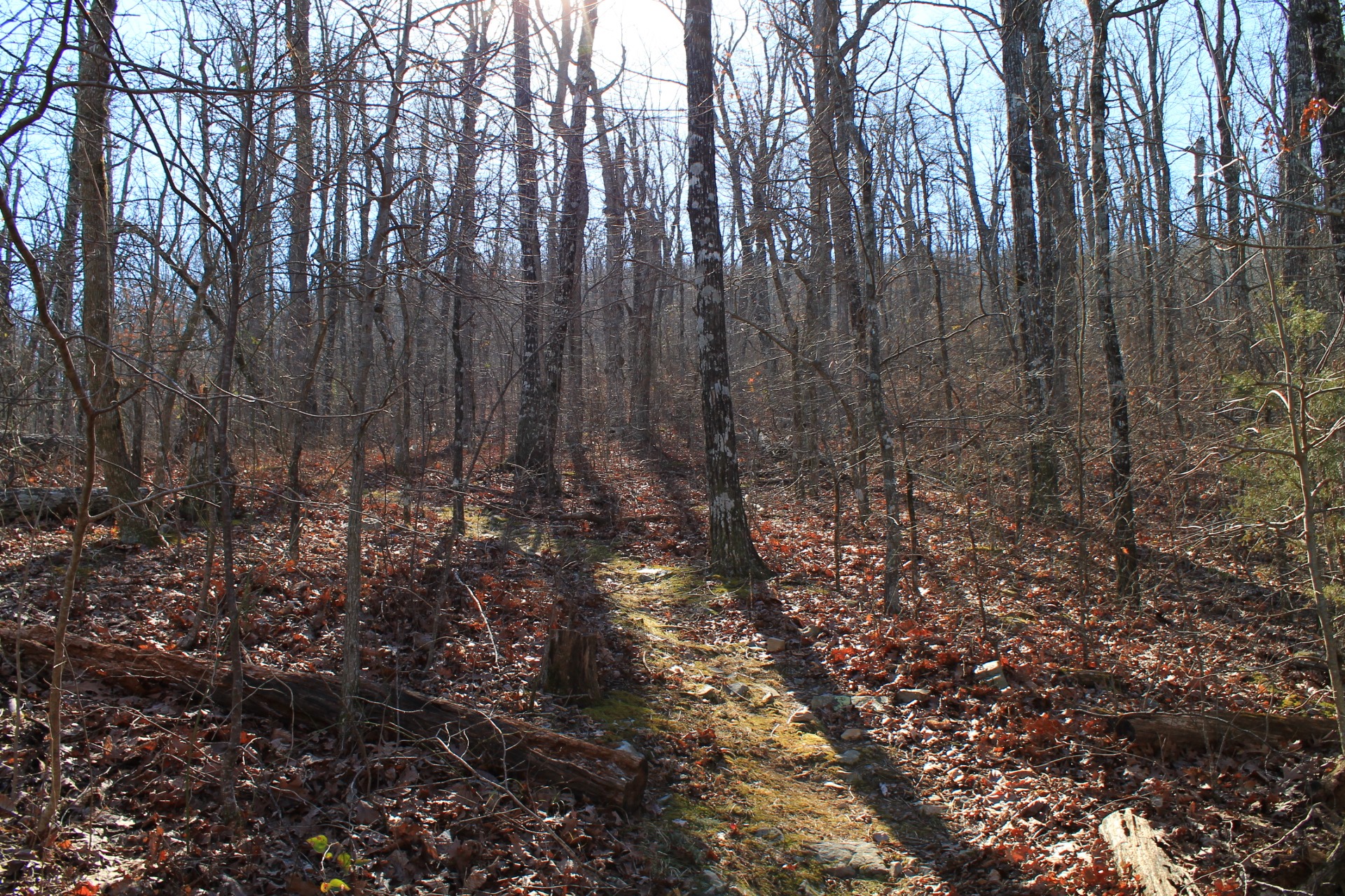
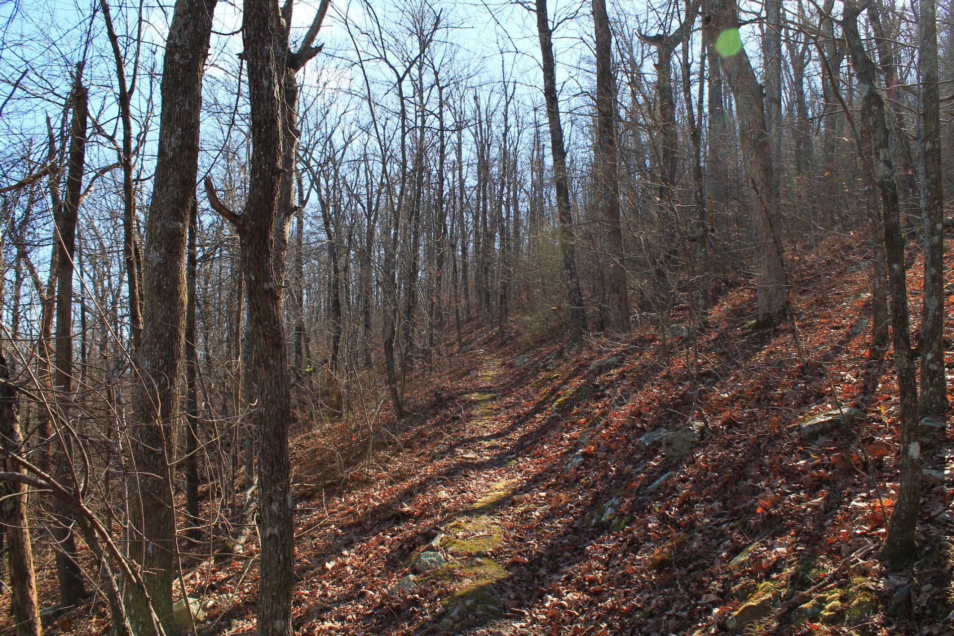
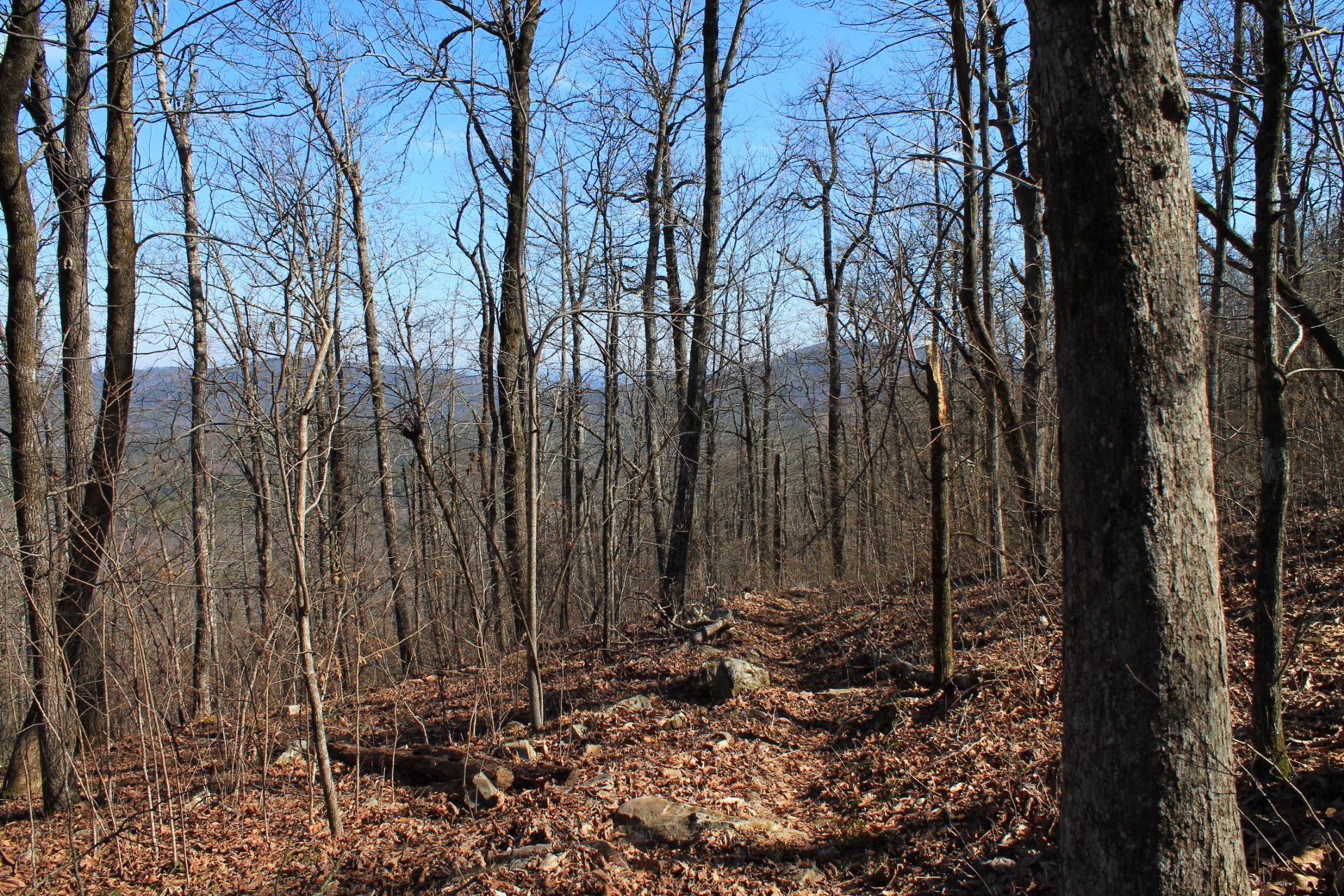
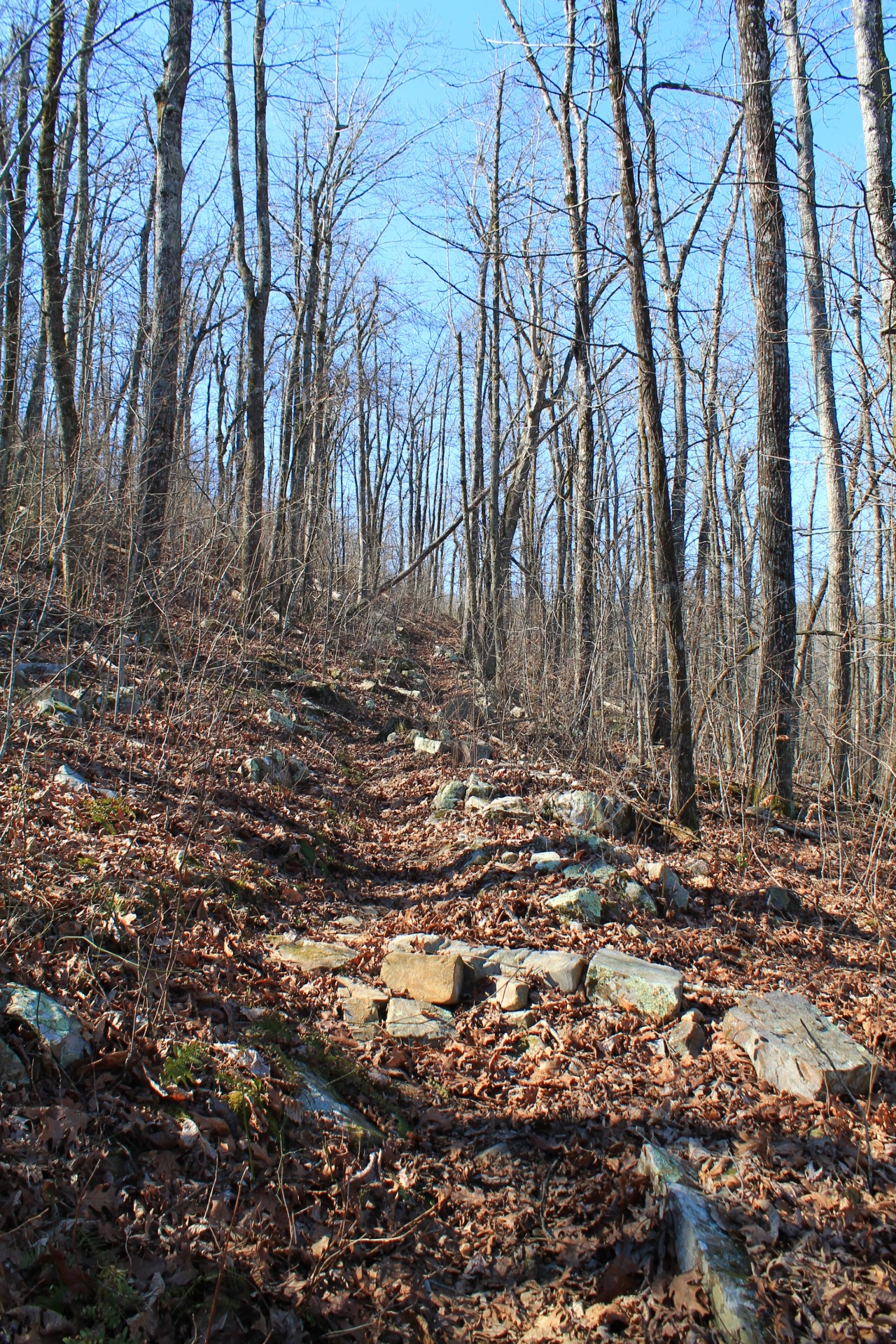
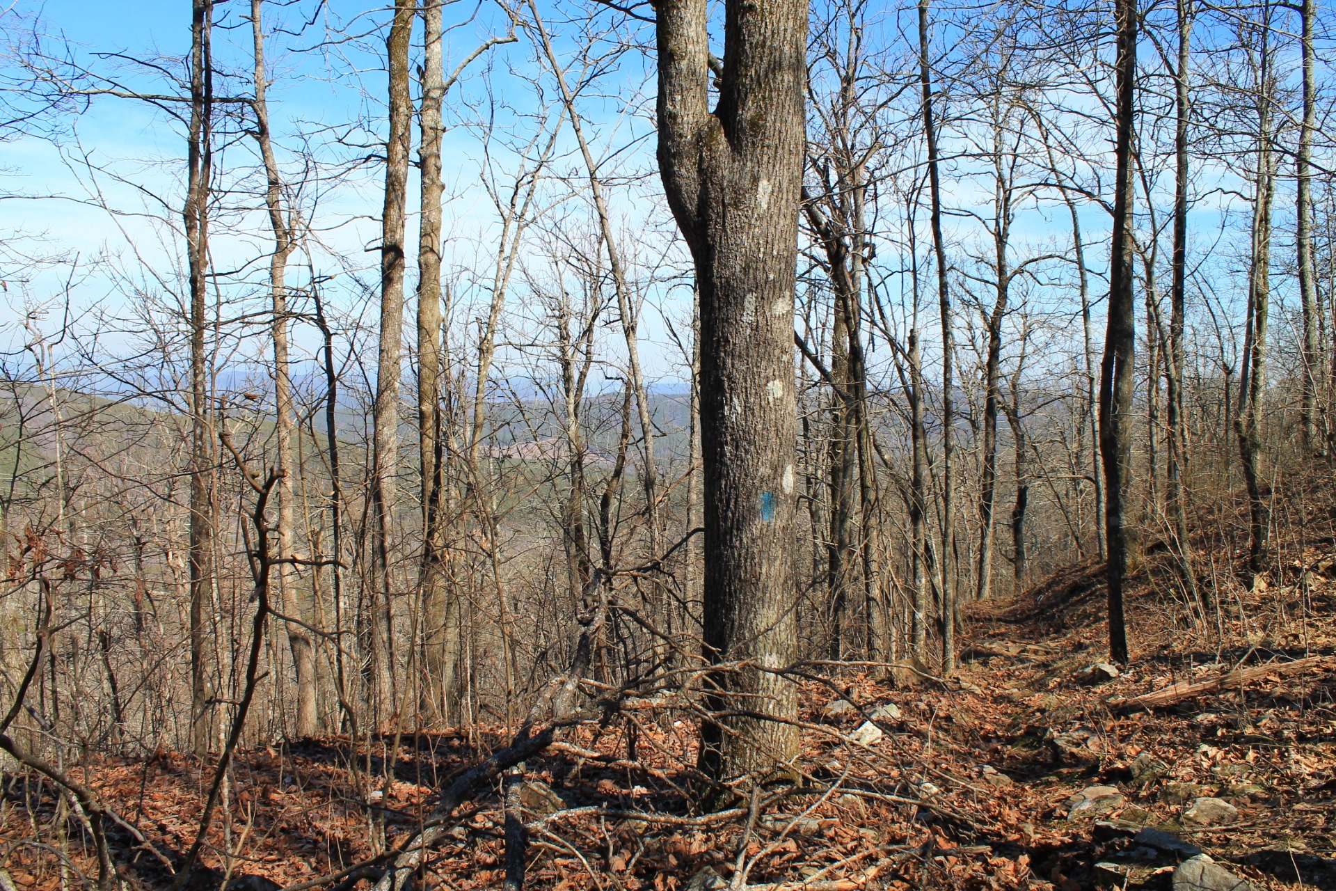
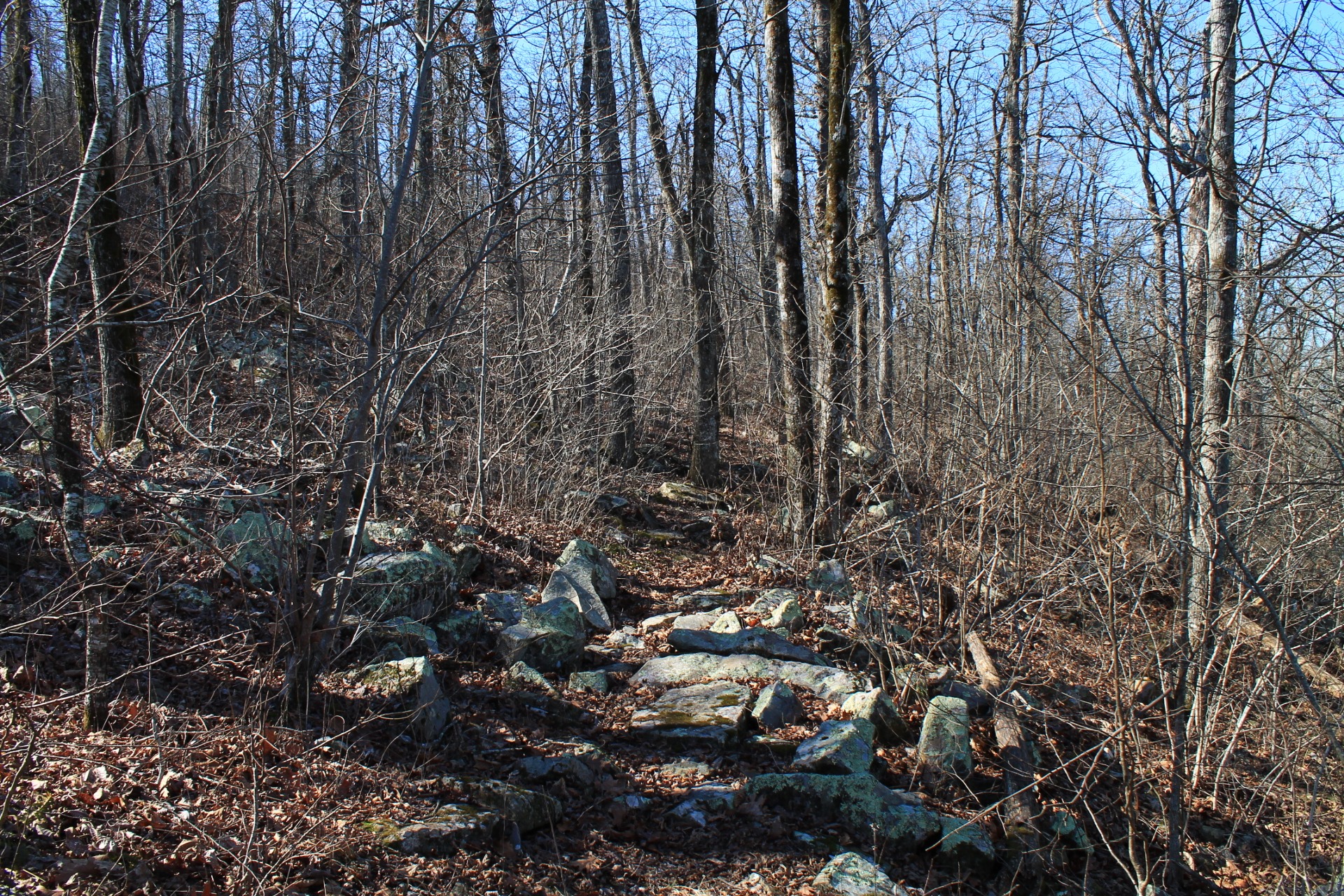
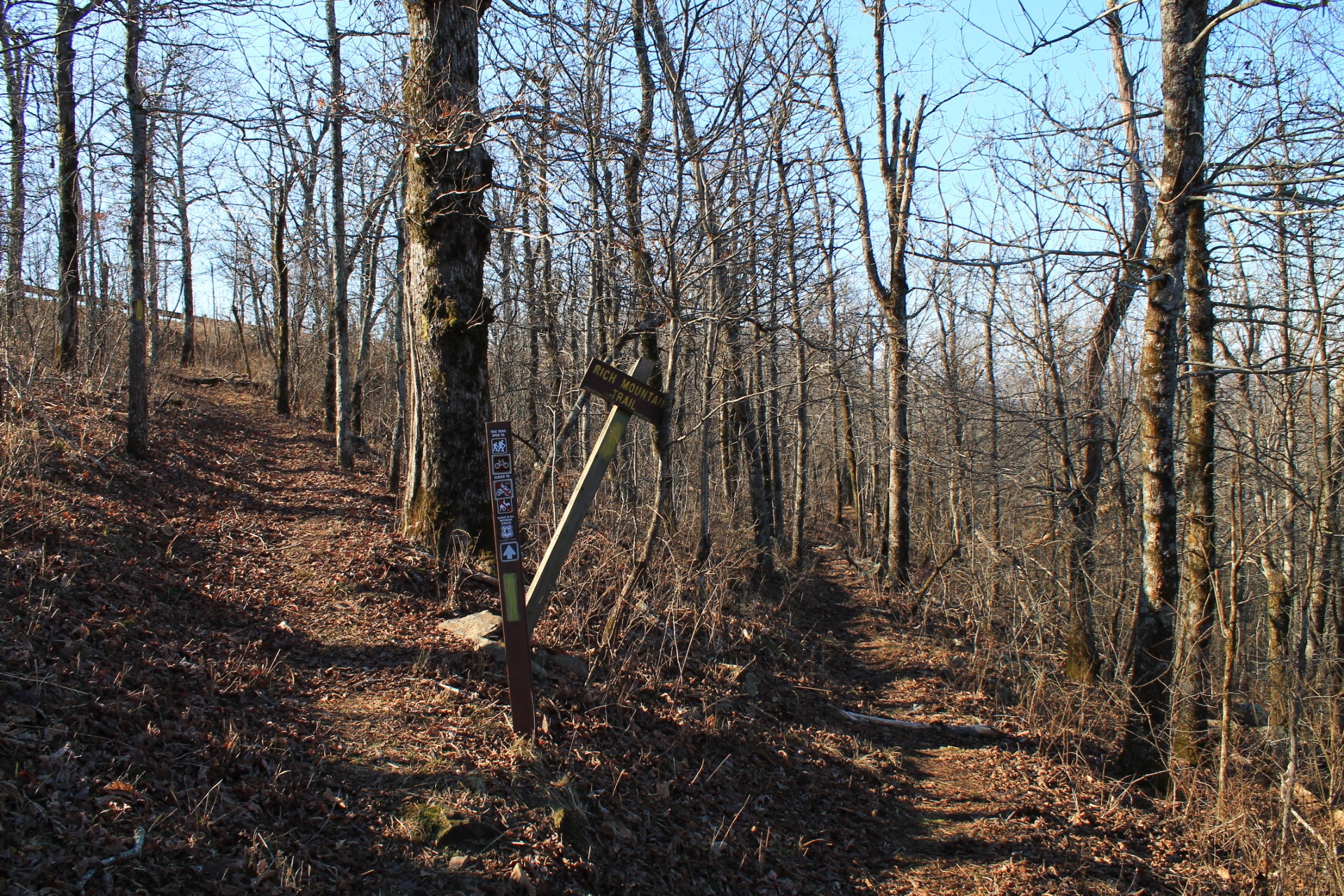
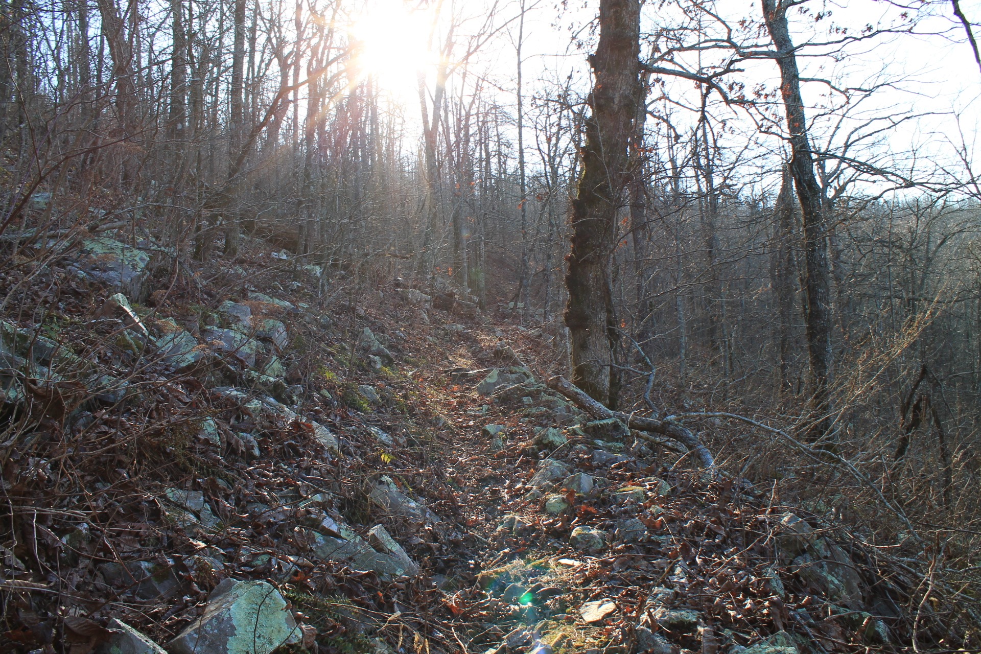
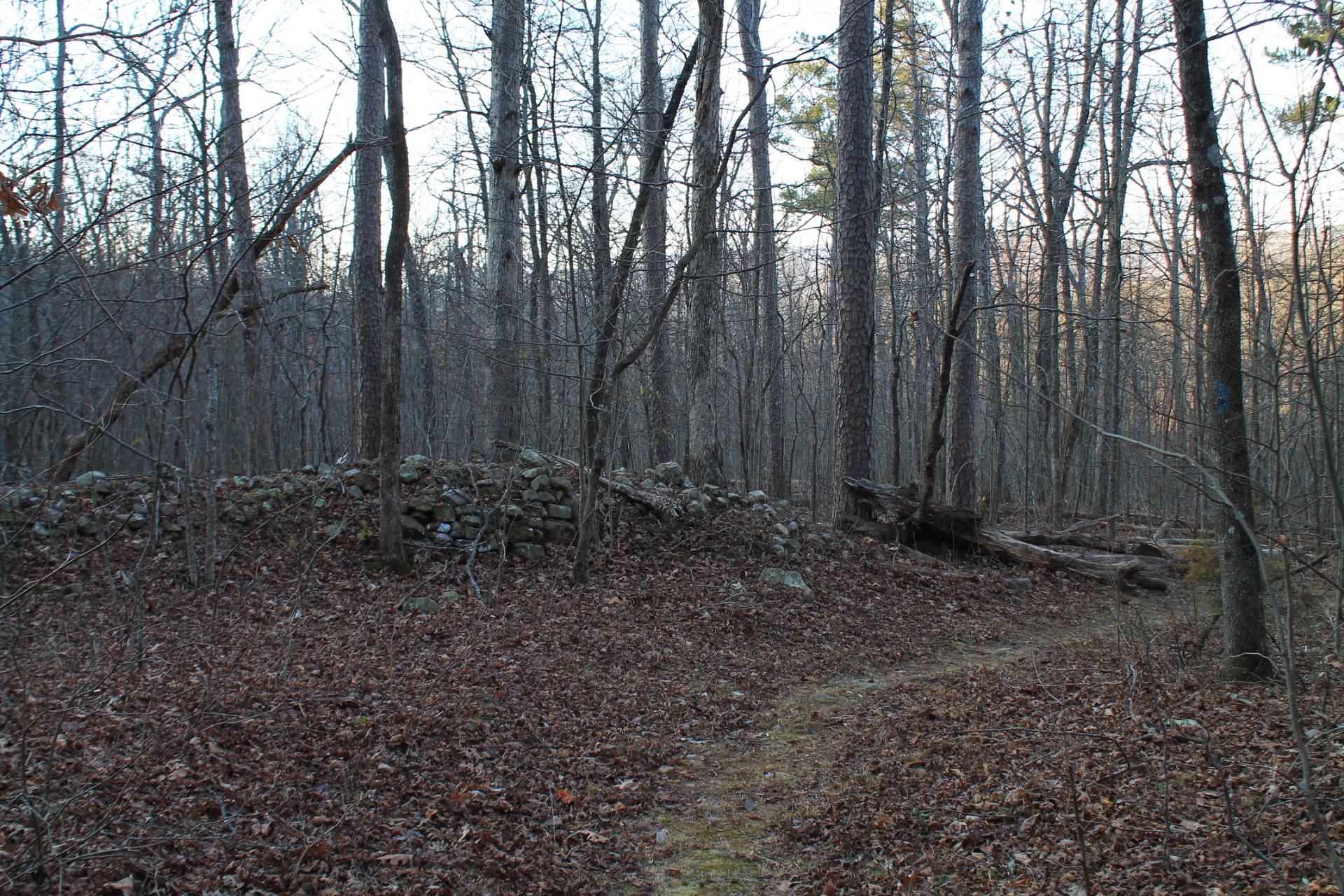
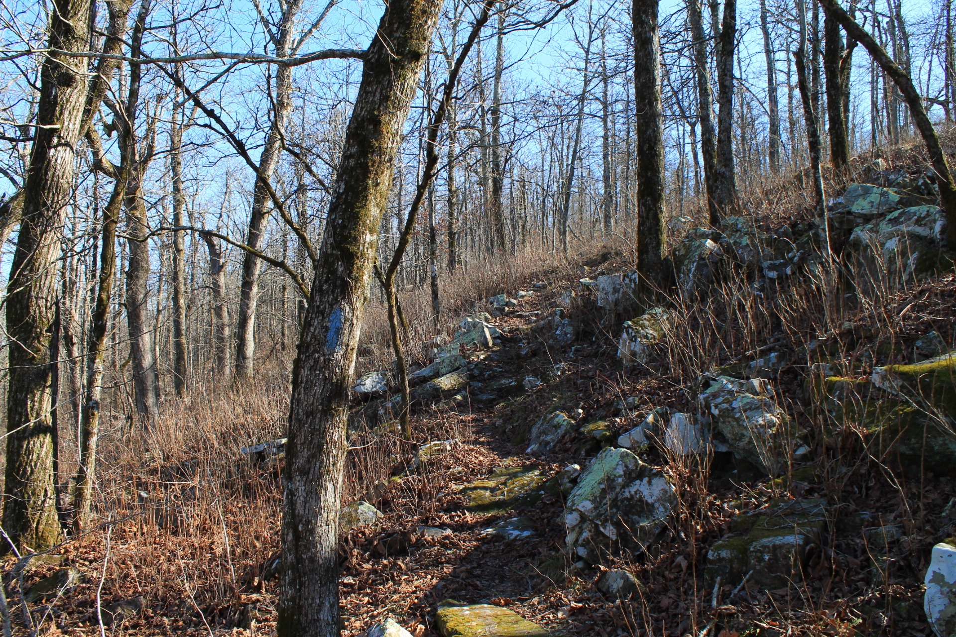
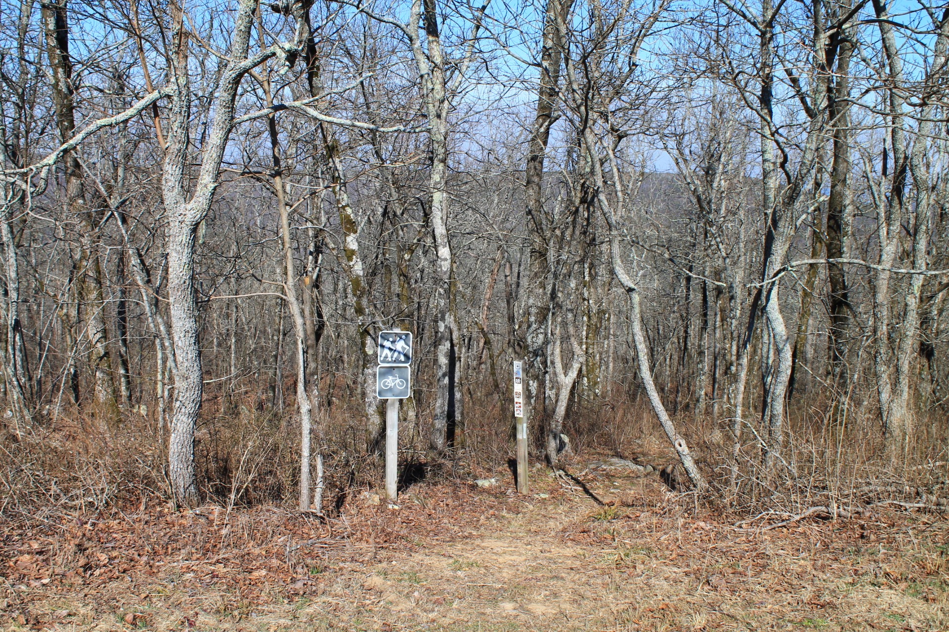
Photo Gallery
Click below for full-screen photo gallery.
Ouachita Trail 03: Talimena Scenic Drive to 270 TH (54.1 to 56.7)
Ouachita Trail 03: Talimena Scenic Drive to 270 TH (54.1 to 56.7)
Ouachita Trail 03: Talimena Scenic Drive to 270 TH (54.1 to 56.7)
Ouachita Trail 03: Talimena Scenic Drive to 270 TH (54.1 to 56.7)
Ouachita Trail 03: Talimena Scenic Drive to 270 TH (54.1 to 56.7)
Ouachita Trail 03: Talimena Scenic Drive to 270 TH (54.1 to 56.7)
Ouachita Trail 03: Talimena Scenic Drive to 270 TH (54.1 to 56.7)
Ouachita Trail 03: Talimena Scenic Drive to 270 TH (54.1 to 56.7)
Ouachita Trail 03: Talimena Scenic Drive to 270 TH (54.1 to 56.7)
Ouachita Trail 03: Talimena Scenic Drive to 270 TH (54.1 to 56.7)
Ouachita Trail 03: Talimena Scenic Drive to 270 TH (54.1 to 56.7)
Ouachita Trail 03: Talimena Scenic Drive to 270 TH (54.1 to 56.7)
Ouachita Trail 03: Talimena Scenic Drive to 270 TH (54.1 to 56.7)
Ouachita Trail 03: Talimena Scenic Drive to 270 TH (54.1 to 56.7)
Ouachita Trail 03: Talimena Scenic Drive to 270 TH (54.1 to 56.7)
Ouachita Trail 03: Talimena Scenic Drive to 270 TH (54.1 to 56.7)
Last revised: 9-18-2019.
One reply on “Ouachita Trail 03: Pics – Talimena Scenic Dr. to Hwy 270 (Black Fork Mtn) TH (54.1 to 56.7)”
Thanks, Mike.
I did this hike west-east (downhill). I probably missed some vistas for watching my footing.