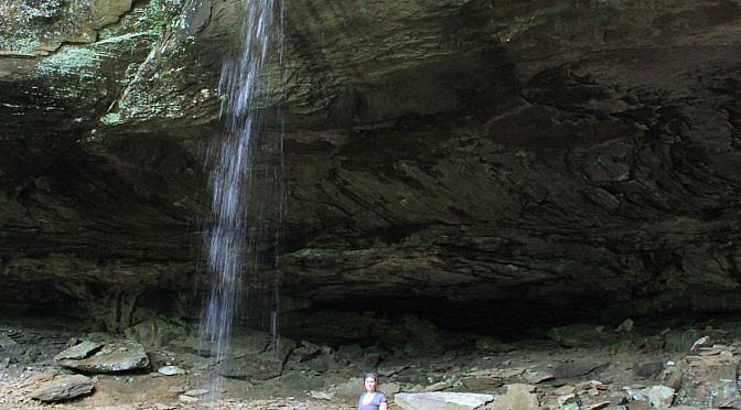
Natural Dam Falls Video (Ozark Forest)

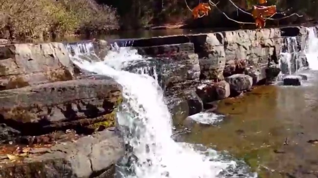
Natural Dam Falls in northern Crawford County (Ozark Forest) is a cool waterfall that is easy to get to and view. You can drive right up to the natural wall of rock that spans the width of Mountain Fork Creek. It is in the community of Natural Dam, just west of Highway 59. Alternate video link. […]
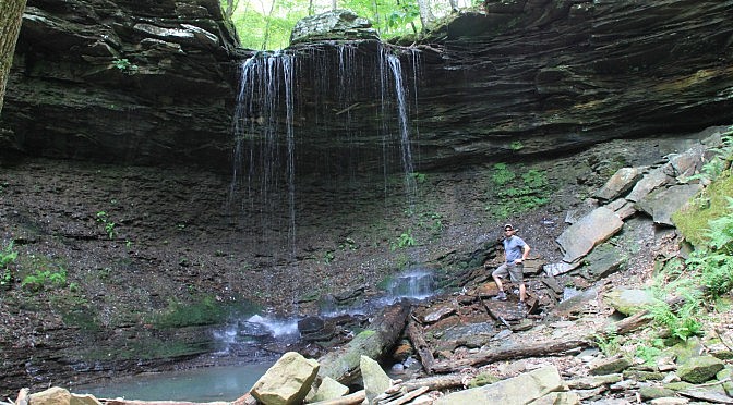
Pack Rat Falls (Ozark Forest)

If you’re in the Haw Creek Falls area in the Ozark National Forest (northeast Johnson County), you may want to check out Pack Rat Falls. This 24-foot waterfall is just a short (but vigorous) hike from the campground.

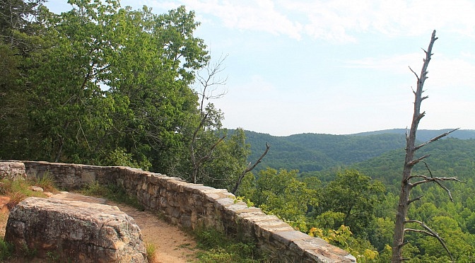
Buffalo Point: Overlook Trail Loop (Buffalo River) ā€“ 1 mi

The Overlook Trail loop (about 1.3 miles) at the Buffalo Point Campground (Buffalo National River, Marion County) is an enjoyable and not-too-challenging walk with a cool overlook of the river. The net elevation change is only about 200 feet. The trail starts at the same area as the Indian Rockhouse Trail.

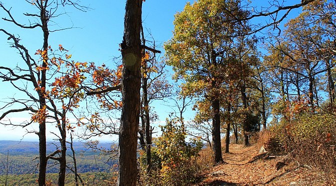
White Rock Mountain Rim Trail (Ozark Forest) – 2 mi

The Rim Trail on White Rock Mountain in the Ozark National Forest about 20 miles north of Mulberry is an awesome trail, and it is not difficult. It is a 1.9-mile loop with less than 100 feet net elevation change. The Rim Trail is over 2200 feet above sea level, and almost the entire trail has […]

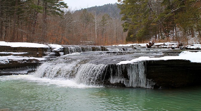
Haw Creek Falls Winter Pics (Ozark Forest)

Back on February 28, after we had a nice little snowfall in western Arkansas, I headed over to Haw Creek Falls (Ozark National Forest, northeast Johnson County) to get some winter pictures. As you might expect, the waterfall was beautiful that morning with the freshly fallen snow and a number of icicles. The temps were in […]

Pam’s Grotto (Ozark Forest)

Pam’s Grotto, in northeast Johnson County, is fantastic Ozark National Forest waterfall that is easily accessible with a short hike. To get to the trailhead, first head to Haw Creek Falls Campground on state Highway 123. (See directions here.) Turn right (north) out of the campground onto Highway 123  and go .5 miles. Turn right […]