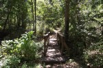
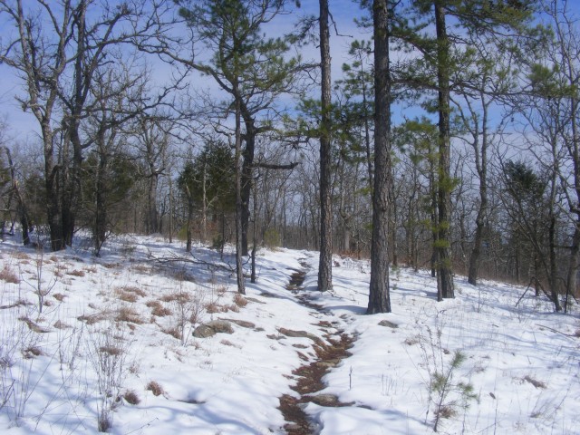
The Sinking Stream Trail is a new trail at Hobbs State Park-Conservation Area, in Benton County, Arkansas. It does not yet have any signage, but it is a nice little nature walk. . Continue Reading »
The Sinking Stream Trail is a new trail at Hobbs State Park-Conservation Area, in Benton County, Arkansas. It does not yet have any signage, but it is a nice little nature walk. . Continue Reading »
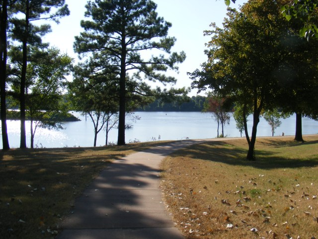
I think the prettiest walk in Fort Smith is the River Walk at the Fort Smith National Historic Site. The Historic Site park, operated by the National Park Service, is on the site of the original military Fort Smith (1817-1824) and the second Fort Smith (1838-1871). The military barracks building of the second Fort was […] Continue Reading »
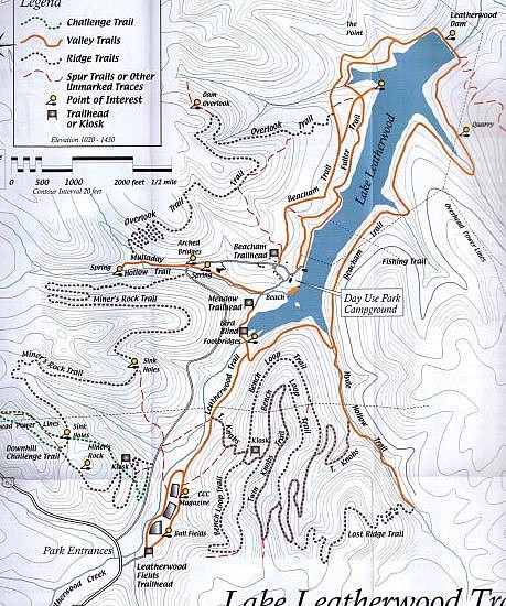
Lake Leatherwood Park is a cool place to visit if you are in the Eureka Springs, Arkansas, area. This 1,600-acre mostly wooded city park features about a dozen hiking trails. The official trail map pdf can be downloaded via this link. Below are the trail descriptions from the official trail map brochure: Continue Reading »
I had the day off Monday so I went hiking at Lake Wister State Park. The 3-mile Lake Wister Hiking Trail in many respects is a great hike. (Six miles to the end and back.) It is at a beautiful location along Lake Wister. Elevation-wise, it is not a difficult hike either. Continue Reading »
Last Saturday I went hiking on the Bear Hollow Trail at Mount Magazine State Park (near Paris, Arkansas). Bear Hollow Trail is one of my favorite hiking trails. It is not very difficult or very long, and it has gorgeous views of the Bear Hollow area on the east side of Mount Magazine. Continue Reading »
Today, my friend David and I hiked what I have labeled segments 05-C and 05-D of the Ouachita Trail. This is a 5-mile segment of the trail that starts just a few miles east of Big Brushy Campground and extends across Blowout Mountain and the Blowout Mountain Scenic Area. It begins at Forest Road 33 […] Continue Reading »