The Buffalo River Trail (currently) is an approximately 40-mile trail running from Boxley to Pruitt along the Buffalo National River in Newton County. There are several additional sections along the middle part of the Buffalo that do not connect with these initial 40 miles on the upper Buffalo.
Additional parts of the trail are under construction, and it will eventually span nearly the entire length of the river.
While I have never hiked a portion of the Buffalo River Trail that wasn’t thoroughly amazing, the short hike from the Steel Creek trailhead to the Steel Creek overlook is among my favorites. It’s a great hike to an amazing view of the river.
Getting to the Steel Creek Trailhead
The trailhead is near the Steel Creek Campground, a few miles east of Ponca.
To get there from the west, take Highway 74 east from Ponca for about two miles. The road curves up a steep, windy hill. At a very sharp u-curve, the campground entrance is on your left. There are signs, and it is well marked.
Take the paved road down the hill toward the campground. When you get to the bottom of the hill, the pavement ends. To the right is a horse camp and river access. To the left is the campground. Find a place to park here at the intersection.
Walk back up the paved road about 100 feet to where the Buffalo River Trail crosses the road. Turn left and start the trail here, heading east toward Kyles Landing.
(Taking the trail to the right (west) would take you to Ponca. My post about that hike is here.)
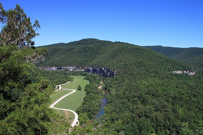
The Trail
The trail is nicely maintained and heads into the woods and starts to gradually go up some stairs. You will be able to see the horse camp to your left, and a steep hill and some nice, small bluffs off on your right.
The trail continues for a while, pretty high above the horse camp and the ranger station. The trail then swings right and heads back into a drainage area.
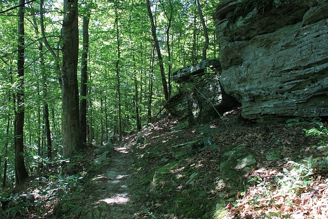
There are a lot of large rocks back in this area that make for some nice scenery.
Past the drainage, the trail heads back down the hill.
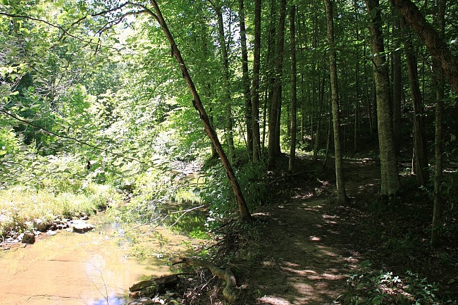
At about .5, the trail gets low into the Steel Creek Valley. (Steel Creek flows into the Buffalo River just downstream — the area is a popular swimming hole in the summer) The trail swings sharply to the right upstream on Steel Creek and away from the river. The trail goes past a fire pit and through an open area (with a couple of power lines that go to the ranger station) and then back into the woods again, past a another primitive campsite.
This would definitely make a great place to spend the night!
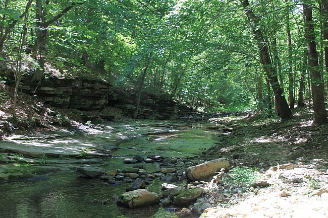
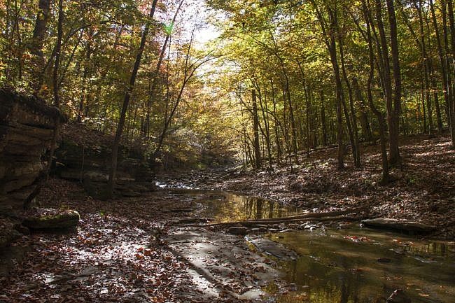
At .6, the trail turns left and crosses Steel Creek. When we hiked this in early July 2014, we were able to rock-hop across the creek here without getting wet, but I can definitely see how during the very rainy season this would be a wet crossing — so be prepared for that.
After crossing Steel Creek, the trail heads up the hill and to the right, continuing upstream. This begins the 400-foot climb to the overlook.
The trail continues up, fairly steeply, and then makes a complete turn to the left. At this point, during high water, there is the makings of a very nice, large waterfall just down the hill in front of you. There is no trail to it, and it could be pretty steep, but on a wet day it’s probably worth checking out.
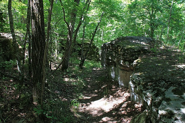
Continuing on the trail as it curves to the left, it continues heading uphill. The trail eventually cuts through a series of very large rocks. This is a great stretch of trail that we really enjoyed.
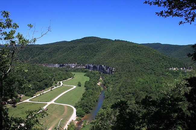
Then, at 1.4 miles, you get to the overlook. And it is amazing.
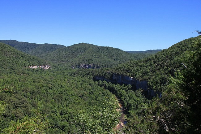
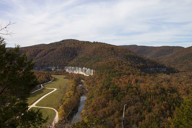
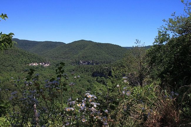
At roughly 450 feet above the river, there is a great view of the Steel Creek Campground area, as well as some fantastic views of the Buffalo River as it continues downstream and winds through the valleys among a series of large bluffs.
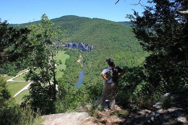
I highly recommend spending some time and enjoying the view. They don’t come much better than this.
Note of caution: Always exercise extreme care around bluff areas. A fall could result in serious injury or death.
After enjoying the view, you can turn around and make your way back west to where you started at Steel Creek Campground.
If you continued east, it is another 6.5 miles to Kyles Landing.
Final Notes
This is a really great hike to one of the best views in the Buffalo River area. It would probably be much more popular if it were a stand-alone trail rather than a section of the Buffalo River Trail.
As for footwear, I recommend trail shoes or hiking boots. During the wet season, be prepared for a wet stream crossing.
You can get more info about the trail in Tim Ernst’s Buffalo River Hiking Trails.
Shelley’s post about the Ponca to Kyles Landing hike is here.
These photos are all from our hikes on July 3, 2014 and October 29, 2018.
Photo Gallery
Click below for full-screen photo gallery.
Map
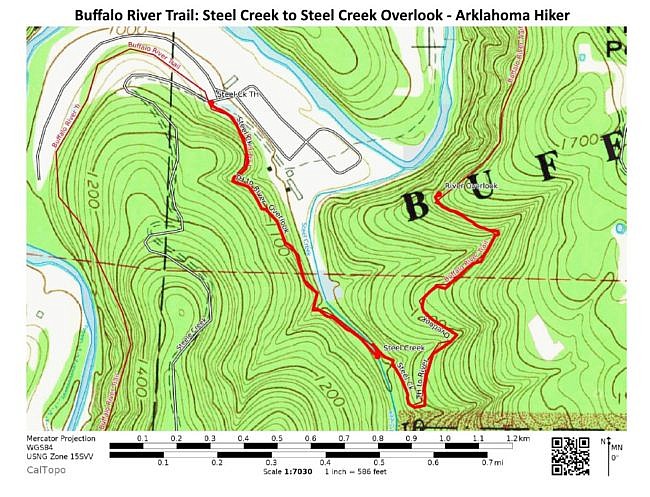
PDF LINK.
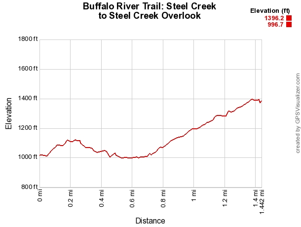
Buffalo River Trail: Steel Creek to Steel Creek Overlook |
|
|---|---|
| Location | Steel Creek Campground, Buffalo National River, Newton County, Arkansas |
| Length/Type | 2.8-mile out-and-back hike (1.4 miles each way) |
| Difficulty | Moderate (3 of 5) |
| Date Hiked | July 3, 2014 |
| Directions | Google Maps Directions to Steel Creek Campground |
| Official Info | (870) 439-2502 Tyler Bend Visitor Center Information Website |
[A version of this post was first published on October 17, 2014 on the blog “Exploring Northwest Arkansas.”]


One reply on “Buffalo River Trail: Steel Creek to Steel Creek Overlook – 3 mi (o&b)”
I found your website researching where to camp near Whitaker Point. Love your blog name! We live in Tulsa! :)