The 2.2-mile stretch of the Buffalo River Trail (BRT) from the Ponca low water bridge to Steel Creek Campground is a very scenic and enjoyable half-day hike. It is 4.4 miles as an out-and-back hike.
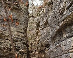
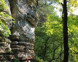
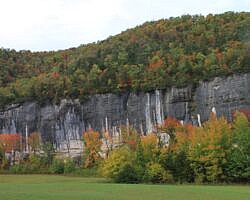
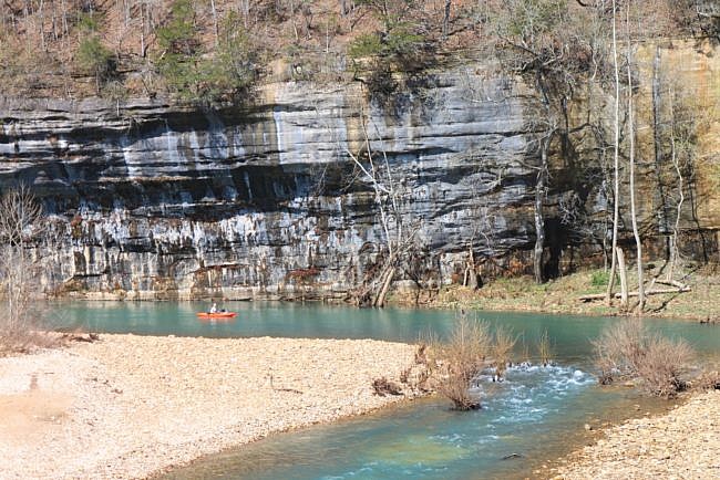
This stretch features some nice overlook vistas with river views, seasonal waterfalls, and wonderful bluffs and rock formations.
This is a small part of the Ponca-Kyles Landing section of the BRT. The entire section is about 9.9 miles.
Getting to the Ponca Low Water Bridge Trailhead
To get to the trail, park at the Ponca low-water bridge and then walk out across the low-water bridge to the small parking area on the other side. Just past that parking area, the BRT heads off to the left and the right. The route to the right will take you to Boxley (11 miles).
To go toward Steel Creek, take the route downstream to the left.
The Hike
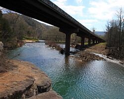
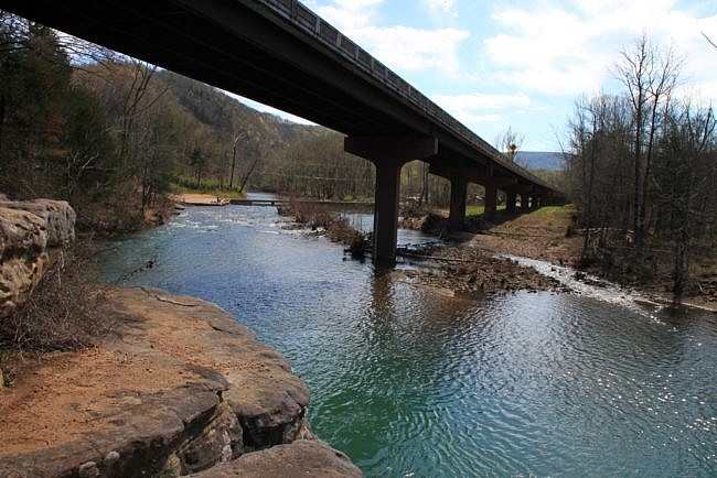
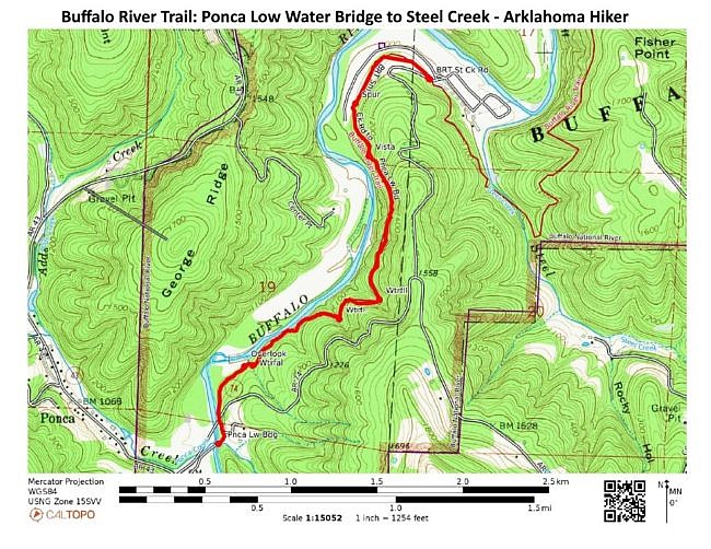
The trail starts off right along the Buffalo River and after a short stretch goes under the new highway bridge that crosses the river. Right at the spot where you cross under the highway bridge there is a little trail that leads down to an overlook on the river — a very nice little view.
Back on the main trail, it continues along the river for a while. There is another spur off to the left that again heads down to the river. I usually take these spurs just as a method of exploring.
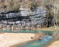
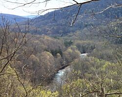
As you continue up the hill a bit, you will get to yet another overlook. This is a great view with the river making two turns in front of you and a bluff in the background.
This is also a challenging stretch of the river for canoeists. (Michelle and I had an epic wipeout at this turn a while back.) So when the water is up and canoeists are on the upper Buffalo, it’s fun to watch people go through here and share in their joy as they make the corner.
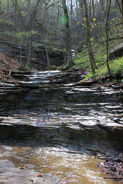
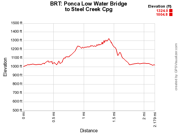
As you continue on the trail, it eventually turns to the right a little and heads up the hill. There is about a 200-foot elevation change here, so it’s a pretty significant trek up. (The cumulative elevation gain on this 2.2-mile stretch is a little over 600 feet.)
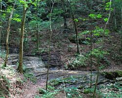
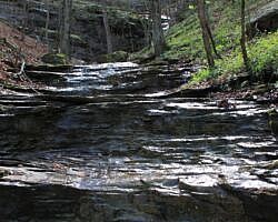
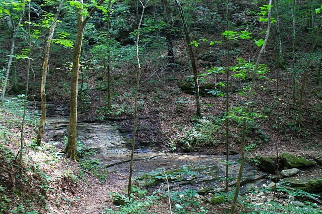
There are also a few small streams to cross over here. None are challenging or wet crossings, but they make some interesting water features during high water. There is one water flow that we are looking forward to checking out after a hard rain.
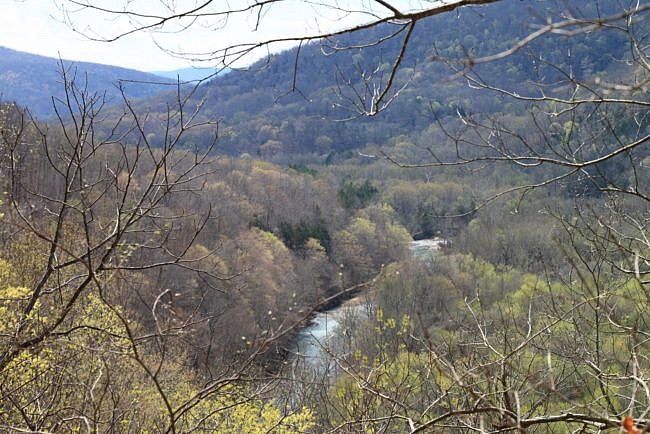
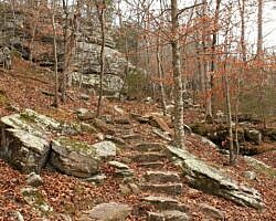
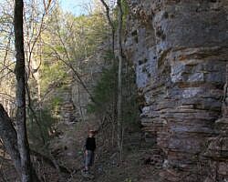
As you head out across the higher part of the trail, you are inward from the bluff line a bit– high above the Buffalo River. During leaf-off, there are some spectacular views from up here. During late spring and summer, the leaves will block most of the great views.
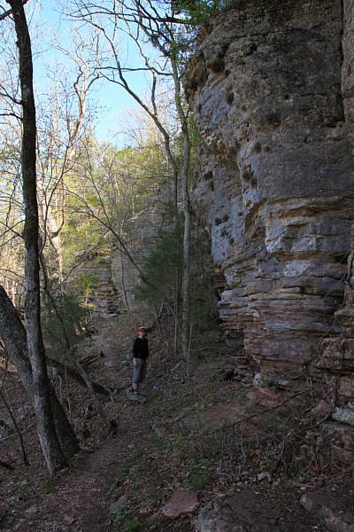
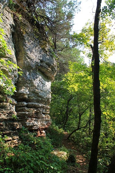
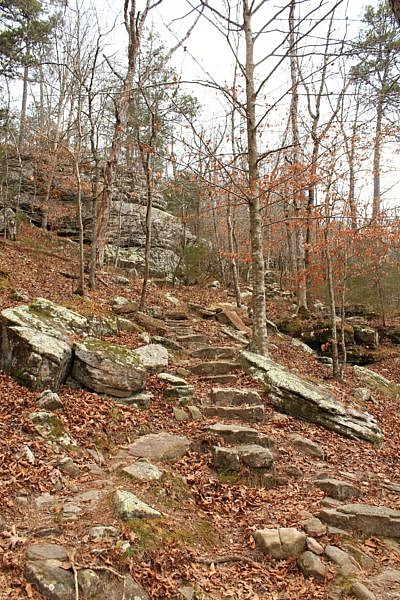
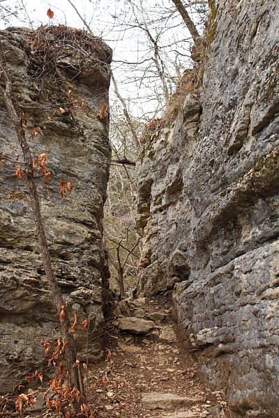
Eventually, you’ll head back down the hill again through some really nice rock bluffs and features.
As you get to the bottom of the hill, you are near the Steel Creek Campground. At one point, there is a short spur off to the left. It goes to the campground and the campground bathroom (and running water).
Continue straight ahead for a few hundred yards, and you will eventually cross the paved road that heads from the highway to Steel Creek.
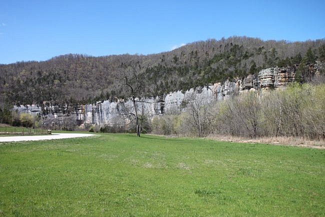
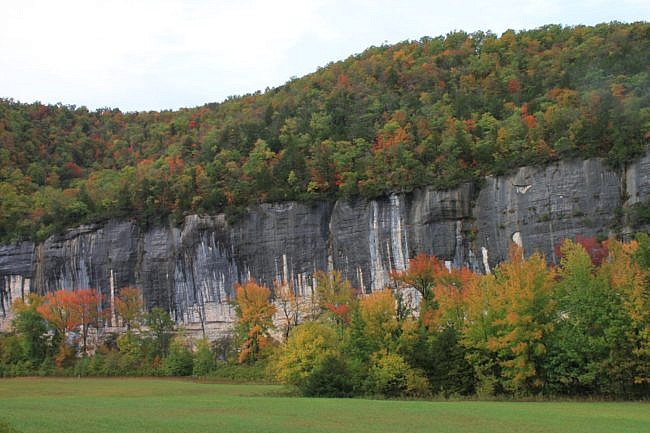
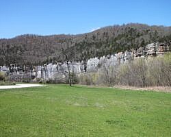
At this point, you’re at 2.2 miles. You can continue across the road to head to Kyles Landing, or walk down to Steel Creek and check out the valley and Roark Bluff. (It’s right in front of you. You can’t miss it.)
Steel Creek Campground is a great area along the river that is heavily travelled and includes a horse trailer parking area.
When you’re done here, you can turn around and head back the way you came. It’s another 2.2 miles back (and another 600 feet of elevation gain). (The net elevation change between the low and high points is about 320 feet.) Note: the initial climb out of Steel Creek on the way back is easily the steepest and most challenging of the hike.
Final Notes
I rate the difficulty of this hike as moderate (3 of 5). For footwear on this hike, I recommend trail runners or hiking boots.
Although the Buffalo River area is beautiful year around, I think the most scenic time is during high water from November to April.
Most of these photos are from our hike on March 17, 2012.
Photo Gallery
Check out the photo gallery.
Map
Buffalo River Trail: Ponca Low Water Bridge to Steel Creek Campground |
|
|---|---|
| Location | Buffalo National River near Ponca, Newton County, Arkansas |
| Hike Length/Type | 2.2 miles each way (4.4 miles as out-and-back) |
| Difficulty | Moderate (3 of 5) |
| Other Permitted Usage | -- |
| Gpx file by Mike | Link |
| Date Hiked | March 17, 2012 (and later) |
| Directions | Google Maps Directions to Ponca Low Water Bridge |
| Official Info | (870) 439-2502 (Tyler Bend Visitor Center Information) Website |
[This post was originally published on May 2, 2012 on the blog “Exploring Northwest Arkansas.”]
Last revised: 5-12-2021.

