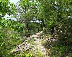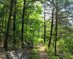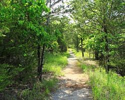
The Rush Mine Level Trail (2.8 miles as out-and-back) in the lower district of the Buffalo National River (Marion County) is an enjoyable mildly challenging hike through a former mining area.
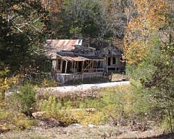
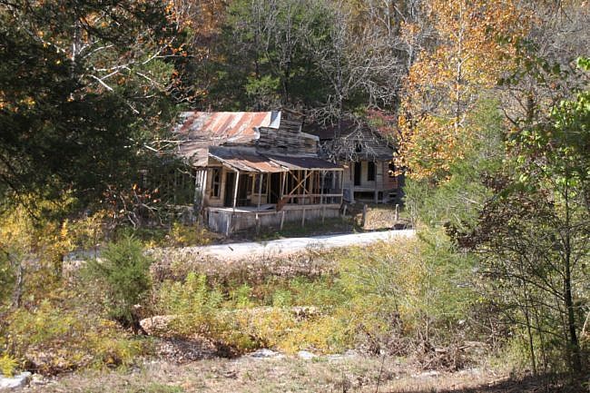
Rush is a former mining community that existed along the Buffalo River that was originally established for the mining of zinc ore in the mountains there. Now it is an old ghost town with no current residents. However, many historic sites remain with structures dating back to the 1880’s.
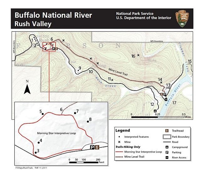
To get to the Mine Level Trail, you first need to go to the Morning Star Interpretive Loop, a short loop trail which can give you a feel for the history of this area.
At the top of the loop is the start of the Rush Mine Level Trail. (There may not be any signage here.) This trail is a mostly level stretch that takes you by several of the old zinc mine entrances.
Getting to the Rush Morning Star Trailhead
To get to the Rush Historic District, take Highway 14 south from Yellville. After about 10 miles, there will be a sign that clearly marks the left-hand turn to Rush. Turn here, and follow the paved road all the way down the hill to the river area.
The Morning Star Trailhead will be on your left, just after a row of abandoned old buildings.
The Hike
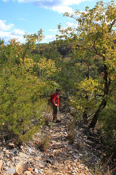
The Rush Mine Level Trail (also considered part of the Rush Mountain Loop Trail) starts at about the midway point (and the high point) of the Morning Star Loop, and it heads straight uphill. (There may be no signage at this junction.) This is a pretty steep climb, but it is definitely worth the effort.
After about a one-fifth-mile climb, the trail levels out. Stay on the well-traveled main trail which turns right. (Don’t take the small, unmarked path to the left. It is a primitive unofficial trail section that completes the loop back from the Monte Christo area.)
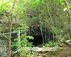
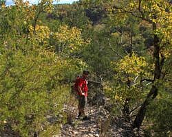
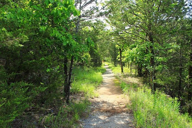
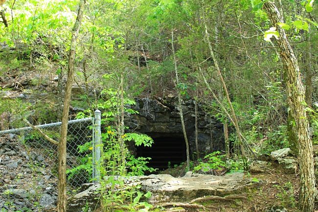
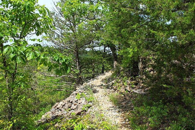
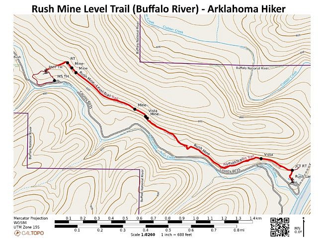
From here, the trail is mostly pretty level with a few ups and downs, but it is easy to follow. There are at least seven old mine sites along the trail. They are remnants of the former Rush zinc ore mining industry. (For safety reasons, the mines are all closed to public access by fencing and grates.)
As you pass the last of the mines on this trail, the trail will follow an old road bed down the hill. At one point, the main trail heads left off the old road trace. Take the trail to the left, and it will head off into the woods (straight will take you to the main entrance road).
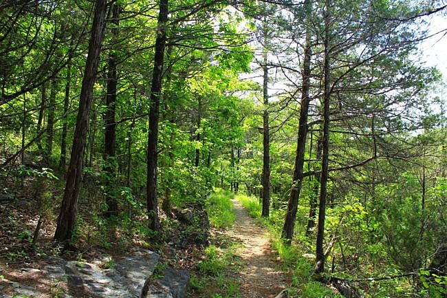
At around 1.3 miles, the trail hits an intersection. Turn to the right here to head to the Rush Landing parking area. There is a pit toilet here with a river access nearby. (If you went left, you would go to the Monte Cristo Trail which can loop you back to the starting point, but please read my overview of that trail before doing so).
From the Rush Landing area, you can head back to the starting point via the trail making it about a 2.8-mile hike. Or for an easier walk, you can simply take the main road back to the Morningstar Trailhead area.
Final Notes
I rate the difficulty of the trail as mildly challenging (2 of 5).
The difference between the maximum and minimum elevation points is only about 180 feet.
For footwear, I recommend trail runners or tennis shoes.
Tim Ernst discusses this trail in his book, Buffalo River Hiking Trails. His profile discusses the entire Rush Mountain Loop Trail.
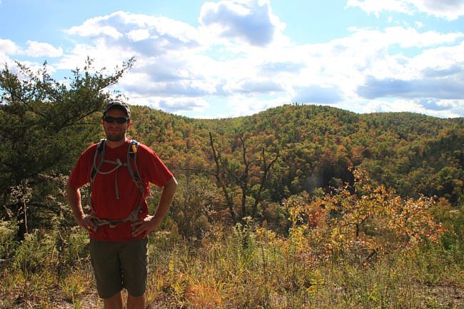
The posted photos are from our hike on October 23, 2011. (The photos by Mike Newman were taken on May 30, 2021.)
Photo Gallery
Click below for full-screen photo gallery.
Maps
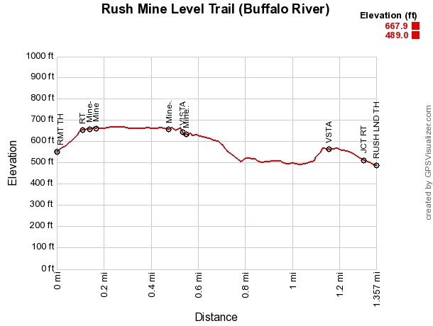
Rush Mine Level Trail (Buffalo River) |
|
|---|---|
| Location | Rush Historic District, Marion County, Arkansas |
| Hike Length/Type | 2.8 mi out-and-back (1.4 mi each way) |
| Difficulty | Mildly challenging (2 of 5) |
| Other Permitted Usage | None. (No pets.) |
| Gpx file by Mike | Link |
| Date Hiked | 10-23-2011 |
| Directions | Google Maps Directions to Rush Morningstar Trailhead |
| Official Info | (870) 449-4311 (Buffalo Point Ranger Station Information) Website |
[A version of this post was originally published on December 21, 2011 on the blog “Exploring Northwest Arkansas.”]

