Deer Run Trail at Sequoyah State Park (near Wagoner and Tahlequah) is an easy and pleasant 2.4 mile forested out-and-back hike (1.2 miles each way). It is open to hikers and cyclists. It was maintained in nice condition when I walked it in July.
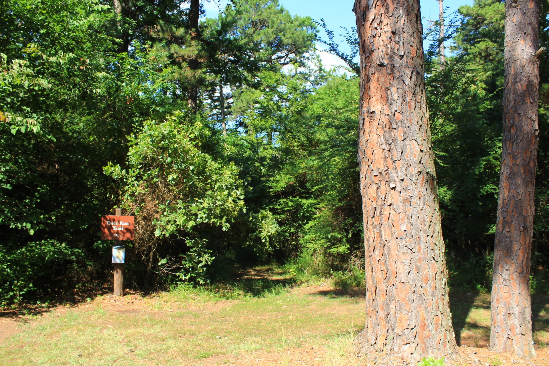
Getting to Deer Run (North) Trailhead
Sequoyah State Park is on Highway 51 in Cherokee County between Wagoner (8 miles to the west) and Tahlequah (17 miles to the east).
Watch for the sign at the entrance to the park on the south side of Highway 51.
Shortly after you enter the park, you will see the visitor center (office) on the right. This is where you should park.
The Deer Run Trailhead is about 100 yards up the road (south) on the right (west side).
The Trail
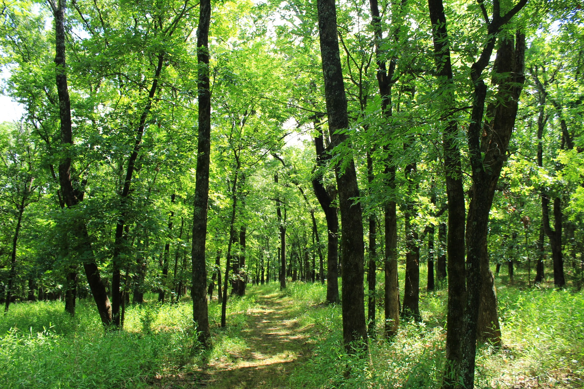
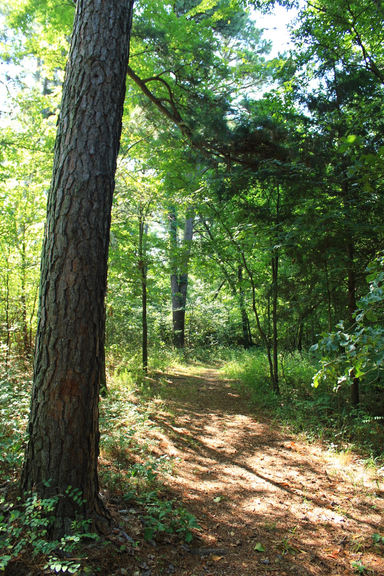
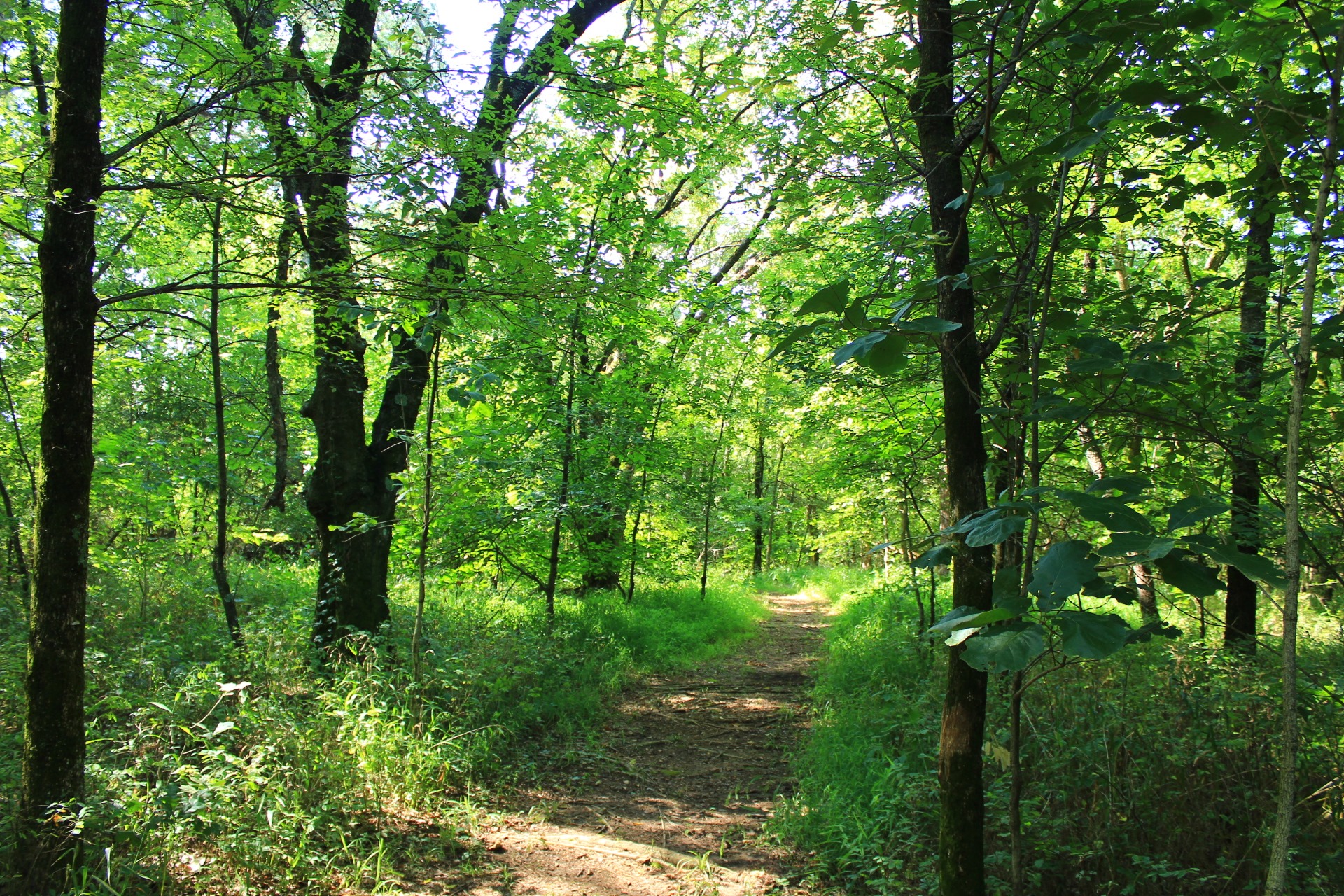
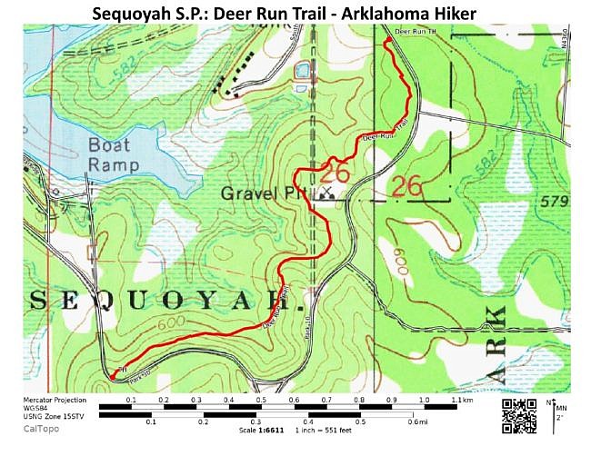
The trail generally runs in a southwestern direction from the north trailhead down near the park office to the south trailhead on Park 30 road.
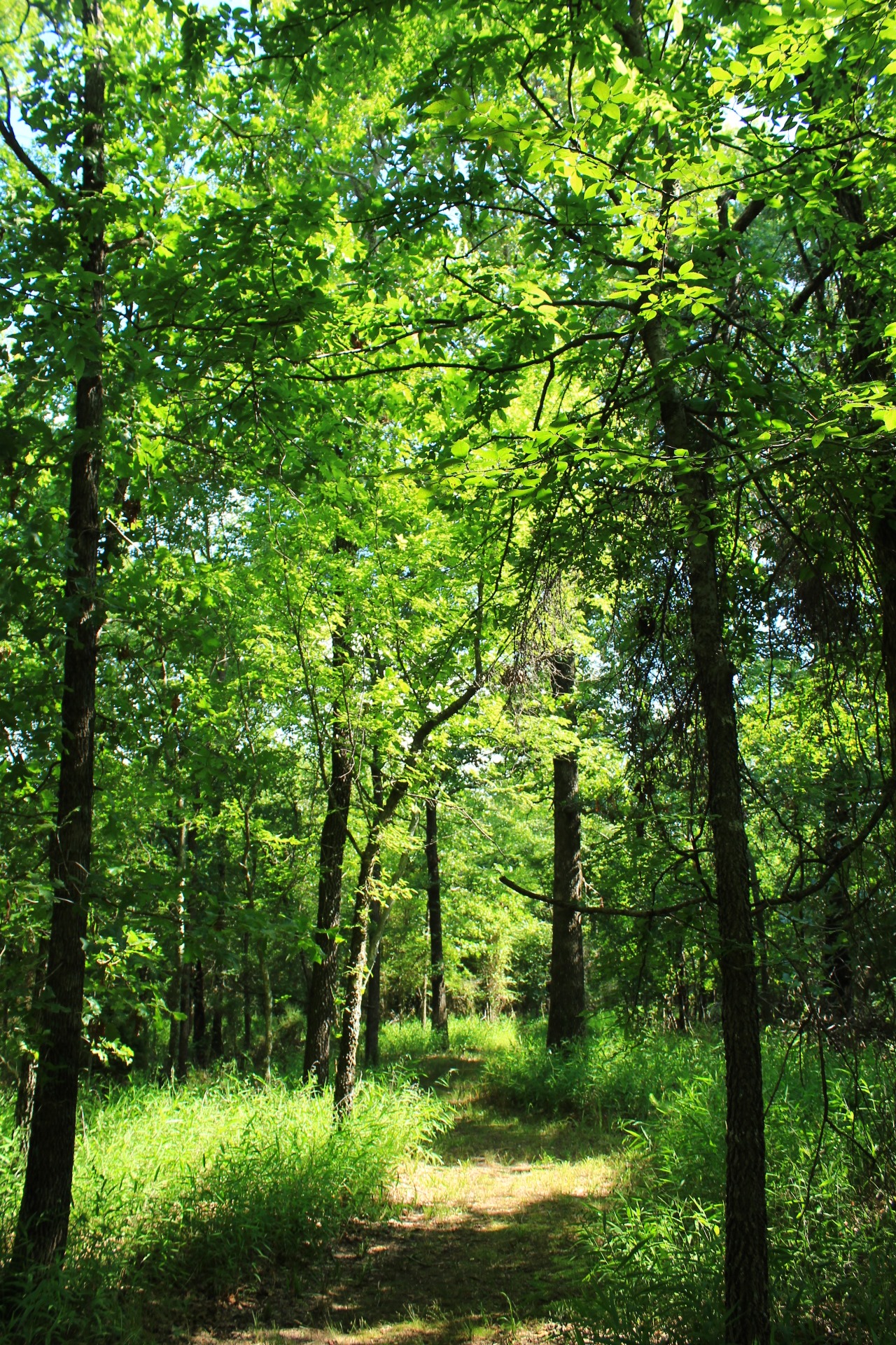
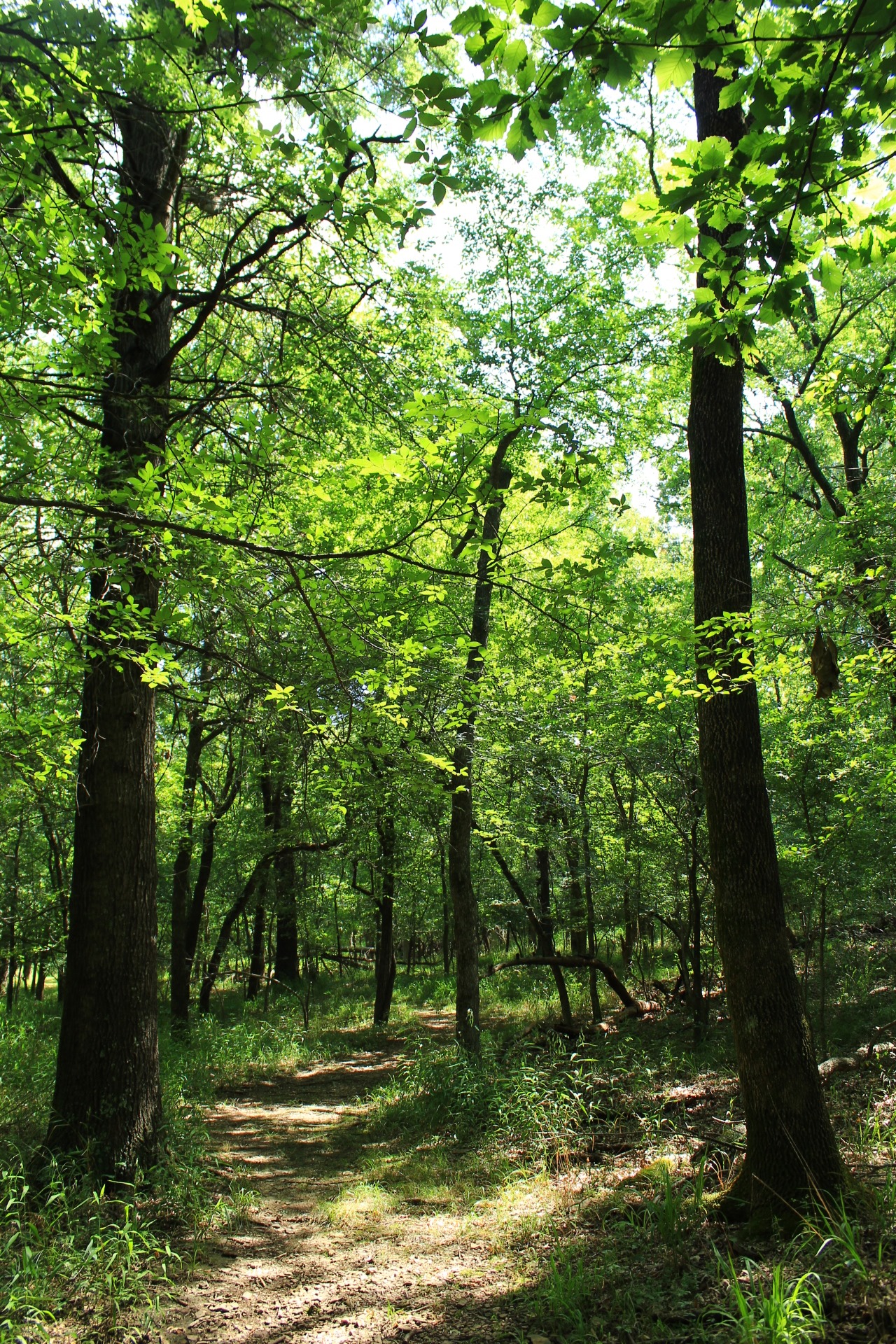
When we hiked it back in July, I was pleased with how nicely maintained the trail was. It seemed to have been recently mowed.
There were no blazes on the trail, but none were needed since it was pretty easy to follow.
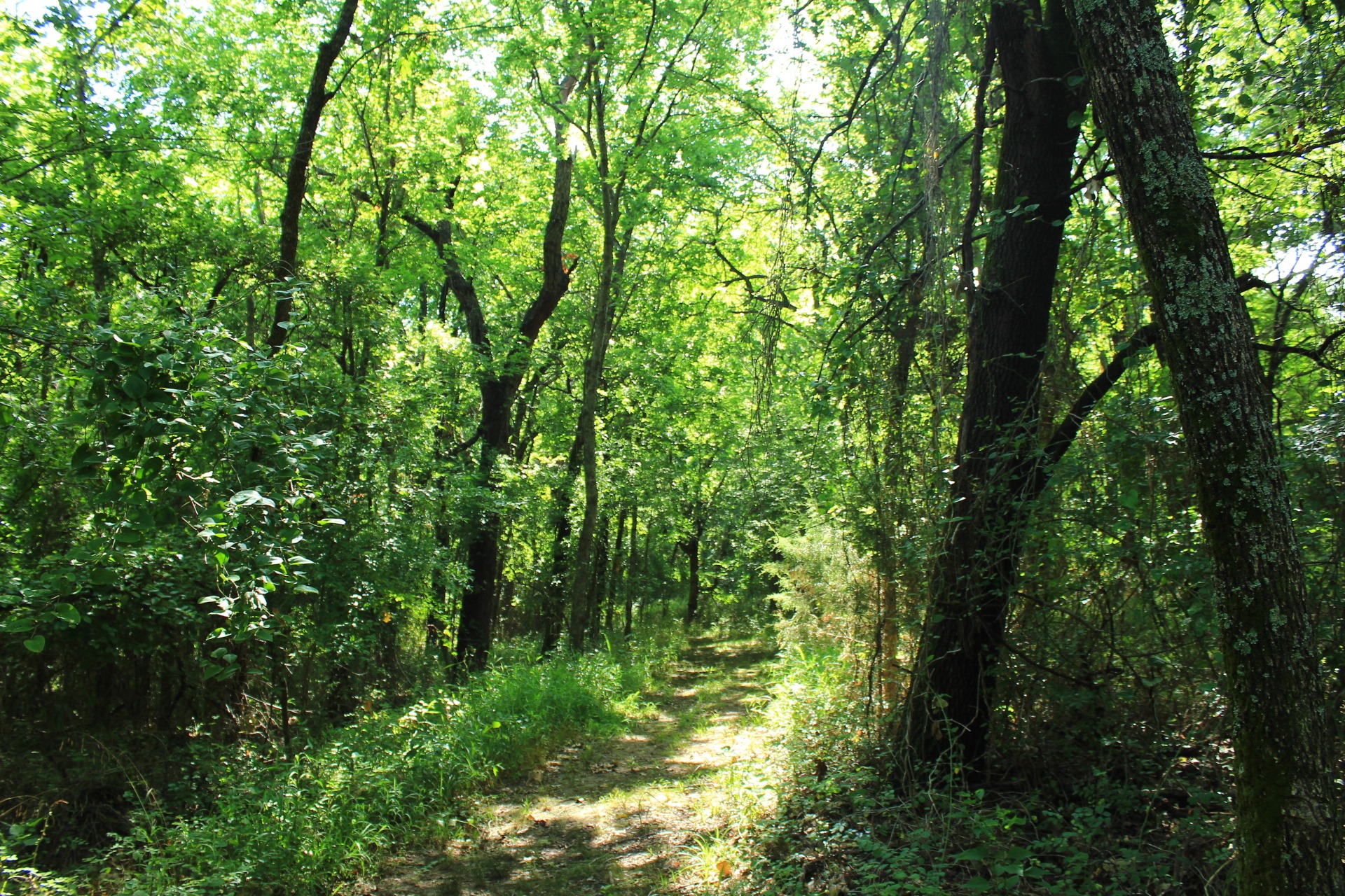
Sequoyah State Park is on a peninsula on Fort Gibson Lake. This trail is not close enough for any lake views.
Final Notes
I would estimate I had 80% AT&T cell signal coverage. These photos are all from my hike on July 5, 2020.
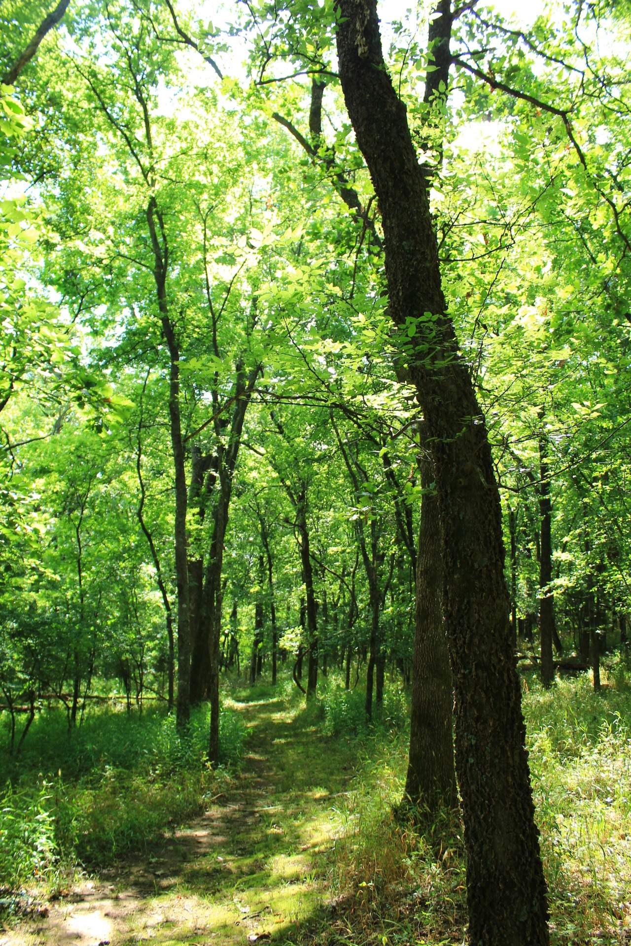
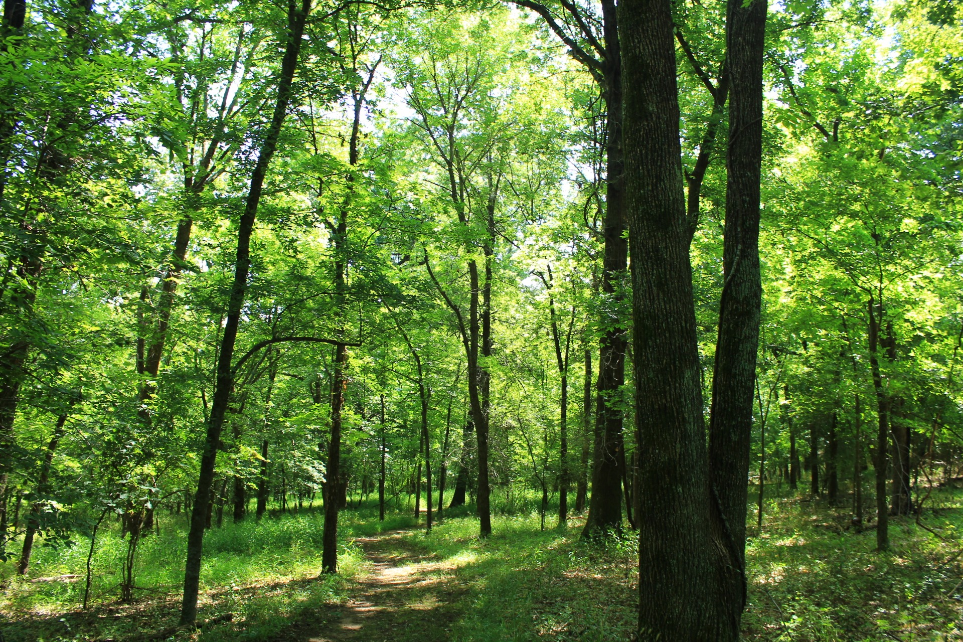
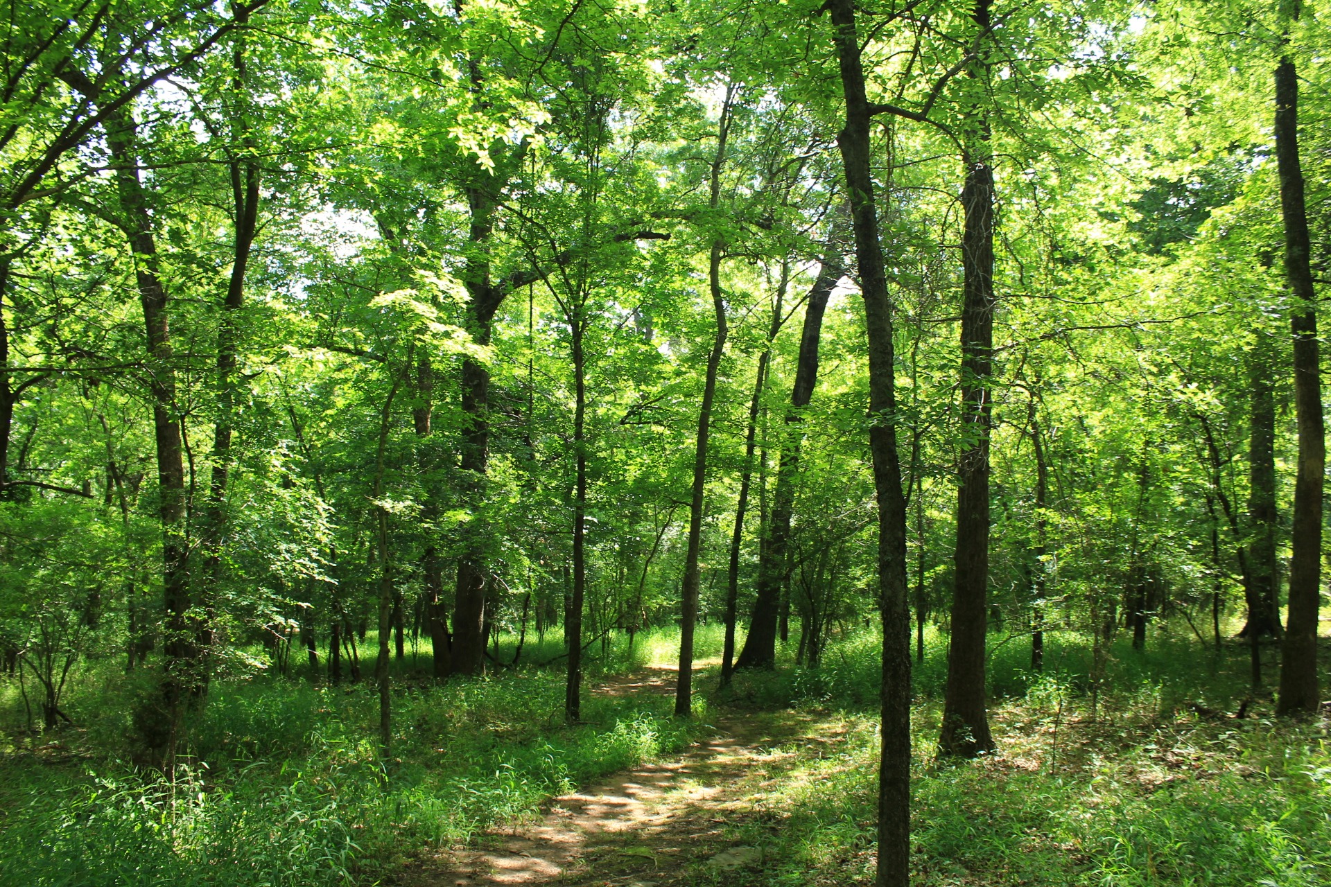
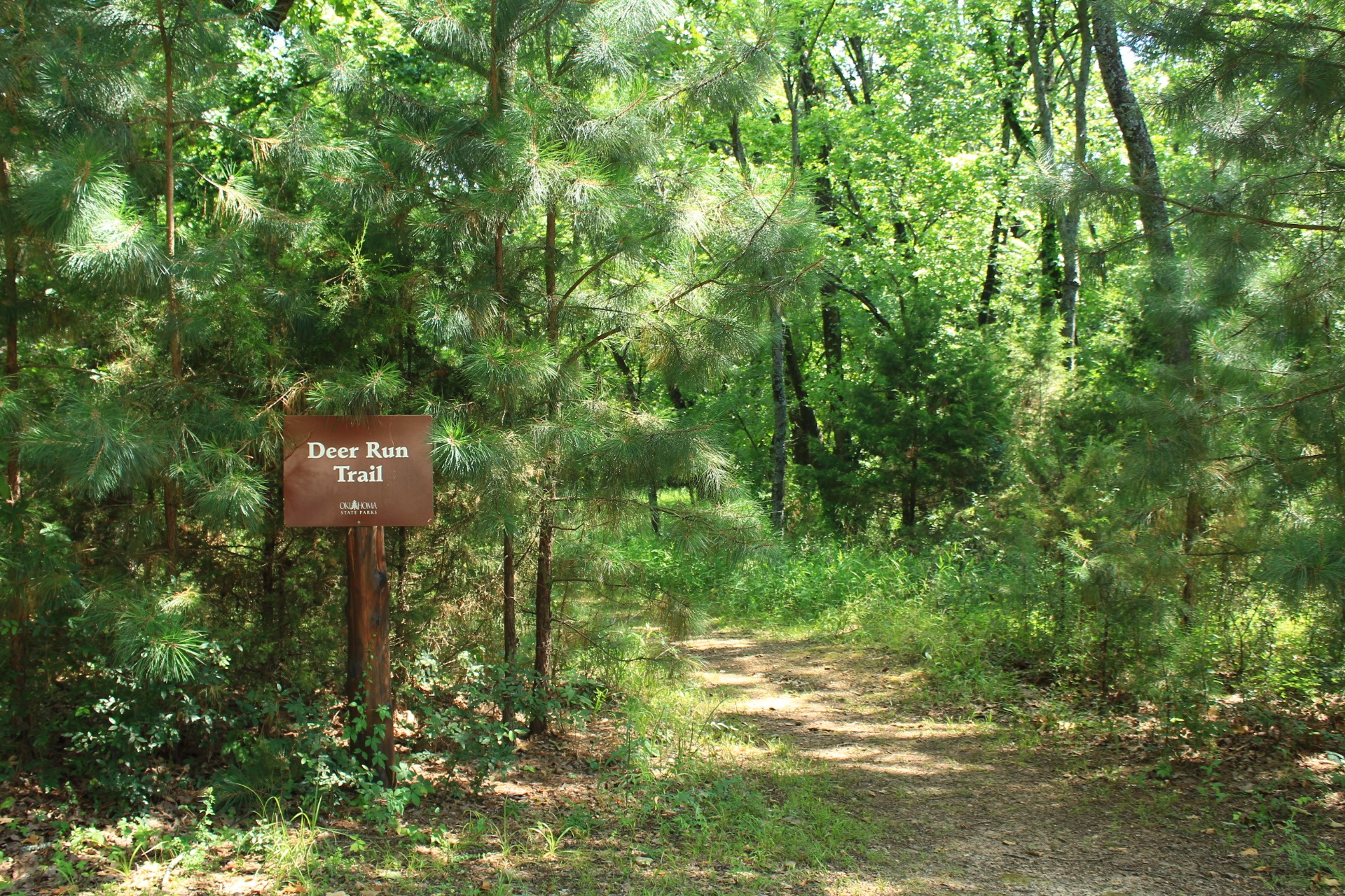
Photo Gallery
Click below for full-screen photo gallery.
Map
Sequoyah State Park: Deer Run Trail |
|
|---|---|
| Location | Sequoyah State Park - Cherokee County (near Wagoner and Tahlequah), Oklahoma |
| Length/Type | 2.4 miles (out and back) |
| Difficulty | Easy (1 of 5). |
| Gpx file (by Mike) | Link |
| Date Hiked | July 5, 2020 |
| Directions | Google Maps Directions to Deer Run North Trailhead |
| Official Info | 918-772-2046 Website Official State Park Maps |
2 replies on “Sequoyah State Park: Deer Run Trail – 2 mi”
I am so excited I found this! I am slowly getting back into hiking and am so grateful for these reviews/images. Thank you for providing such excellent detail.
Glad to here it is helpful! Mike