This 4.8 mile Ouachita Trail Section 2 segment (9.6 miles out and back) just to the east of the Winding Stair National Recreation Area (LeFlore County, Oklahoma) climbs over Wilton Mountain, an offshoot of Rich Mountain.
As an out-and-back hike, it’s quite vigorous with 2,100 feet of total ascent. It has some beautiful views from Wilton Mountain.
I recently did the hike west to east starting at the Pashubbe Trailhead (mile point 34.3) to the Kiamichi River Trailhead (mile point 39.2) and then back.
Per my gps, the total hike is about 9.6 miles.
Getting to Pashubbe Trailhead
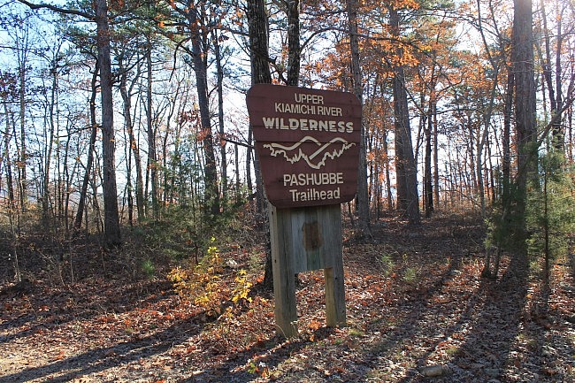
There is parking at the Pashubbe Trailhead, and it’s pretty easy to find. Watch for the trailhead sign on Highway 259, about two miles south of the Talimena Scenic Drive (Highway 1). (This is about 20 miles south of Heavener.)
If coming from the north, turn left (east) at the Pashubbe Trailhead sign onto Forest Road 6032. In about 2 miles, you’ll be at the trailhead. There’s a sign there.
The Hike – Western Part
About 90% of this Ouachita Trail hike is on Wilton Mountain. But the first half-mile is not.
Take a right on the trail. Pretty quickly, it makes a switchback downhill dropping about 50 feet to the bottom of the Pashubbe Creek Valley. At this point, the trail stays pretty flat and heads due east.
By the way, the entire segment is on or near the south border of the 10,819-acre Upper Kiamichi River Wilderness. (There are numerous wilderness notice signs along the trail.)
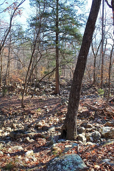
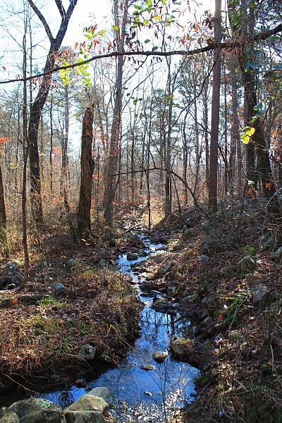
During the first half-mile, the trail crosses Pashubbe Creek. It first crosses a drier branch and then the main branch. When I did my early December hike, the first crossing was completely dry. There was some water in the main branch, but it wasn’t difficult to make a dry crossing.
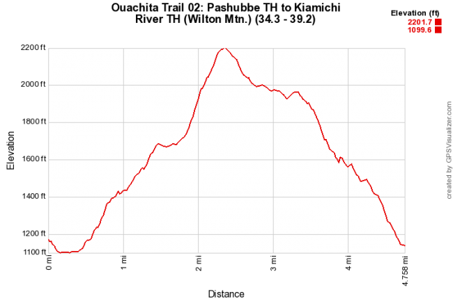
At around mile point 34.8, the trail turns north and starts the uphill climb. The next one-third mile climbs up about 150 feet in elevation (from 1,100 to about 1,350). The trail then turns a bit heading mainly northeast for the next .8 miles climbing up another 350 feet to around 1,700 feet elevation.
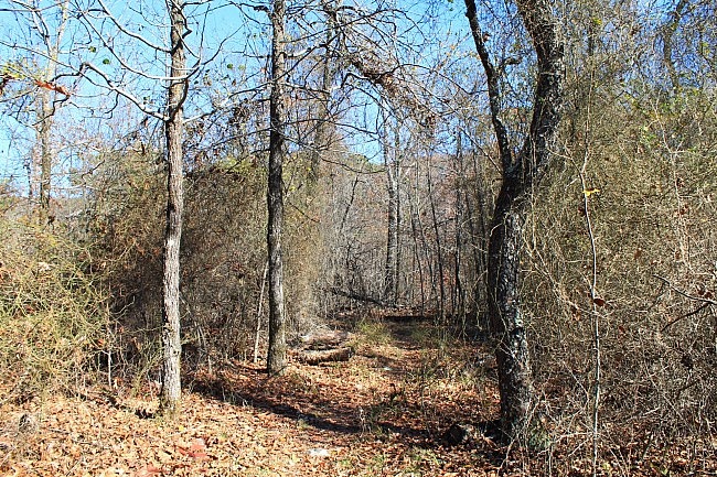
The next one-third mile or so, the trail makes a path through a brushy area on a fairly level ridge.
Then for the next .7 miles, the trail makes a steep climb to the summit part of the hike. (The trail doesn’t reach the actual Wilton Mountain highest point, which is a bit further to the north.)
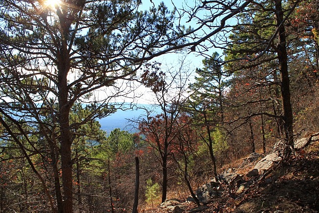
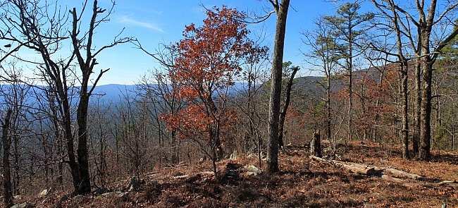
During leaf-off, there are some nice views through the majority of the hike, particularly off to the south. And as you would expect, they get nicer the higher up you go.
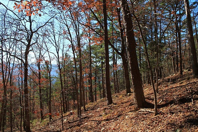
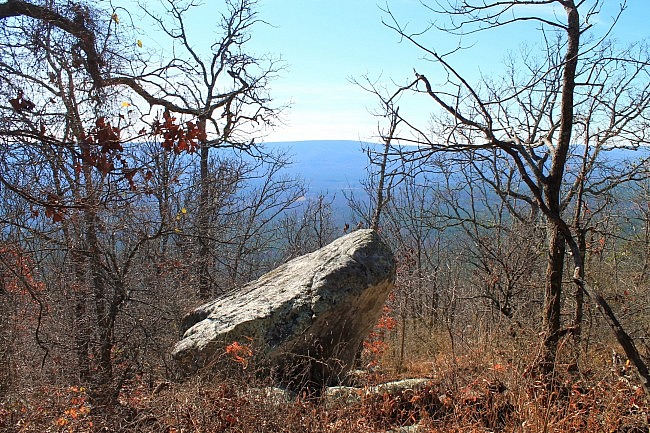
One of the nicest south-facing views is about .1 miles before the summit. There is a nice vista here (pictured) of the Kiamichi Mountains in the distance.
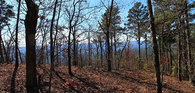
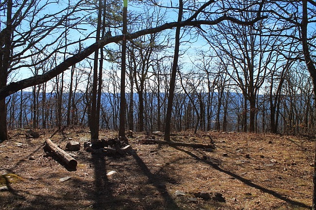
Probably the best overall view is at the trail’s summit area at 2,200 feet elevation (about 1,100 feet higher up than Pashubbe Creek). It is about 2.3 miles into this hike (about mile point 36.5). This is a fairly flat ridge area that makes a great resting or camping spot. (There is an unofficial camping area here with fire ring.)
Especially during leaf-off, there are nice views here in nearly all directions.
The Eastern Part
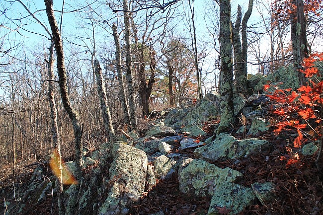
The rest of the trail heads generally southeast. The first half-mile descends about 200 feet. Then the trail stays fairly level for about .7 miles. There is a cool rocky ridge in this area.
During leaf-off, there are also some really nice views through the trees of Rich Mountain to the north.
At around 3.4 miles (mile point 37.7), the trail resumes the descent for the rest of this segment. Over the next 1.4 miles, the elevation drops about 800 feet down to about 1,100 feet elevation.
During leaf-off, there are some nice south-facing views in this part. (If fact, during leaf-off, there are good south views through the trees on the majority of the hike.)
A good part of the trail on the eastern part is on a road trace. As Tim Ernst notes, you can tell it hasn’t been used for vehicles in quite a while as there are full-grown trees in the middle in places.
At around 4.7, the trail reaches a flat dirt road. When I was there recently, there wasn’t any clear signage here. Make a right turn here. It’s then about a .1-mile walk on this road over to the Kiamichi River Trailhead.
If you’re doing this as an out-and-back hike like I did, this is the point where you turn around and head back. It will be 9.6 miles when you get back to the Pashubbe Trailhead.
Final Notes
If you want to do the hike east to west, you can start at the Kiamichi River Trailhead. It is on Forest Road 6031, off of FR 6032, which is off of Highway 63. [Check out Mark Thomas’s comment below about potential issues with reaching the Kiamichi River Trailhead.]
(For Google Maps directions to the general area of FR 6031, see this link.)
I had AT&T cell signal on about 80% of the hike.
During my December hike, the overall condition was pretty good. There were a few trees down on the trail, but it wasn’t hard to go around them. There was an area just a little to the east of the summit that had some mild overgrowth, but it hadn’t reached the point of being difficult to get through. I had little trouble following the trail.
For hiking the Ouachita Trail, I recommend Tim Ernst’s Ouachita Trail Guide.
These photos are all from my December 5, 2015 hike. Check out this link for more photos from this hike.
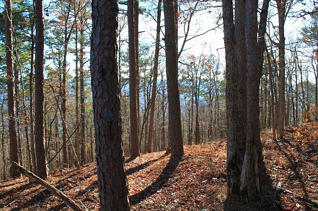
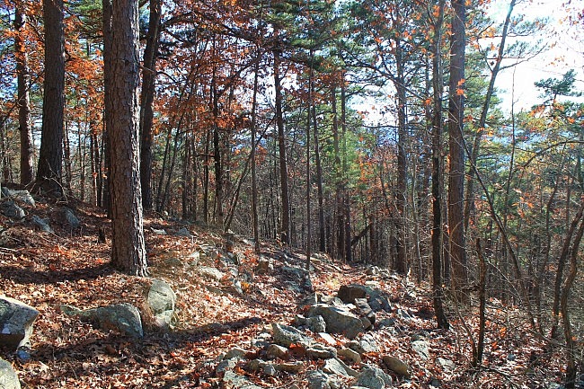
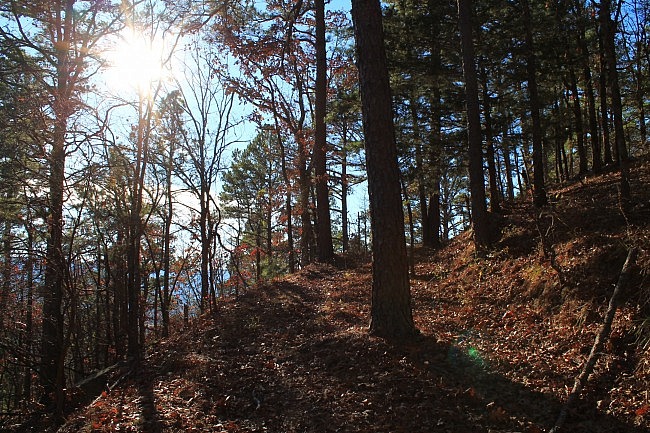
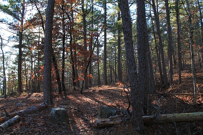
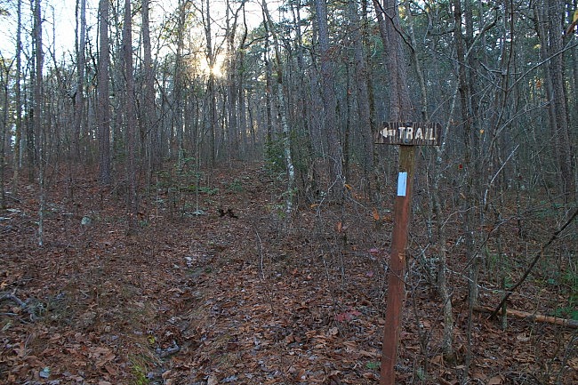
Photo Gallery
Click below for full-screen photo gallery of these and more pics from my December 5, 2015 hike.
Map
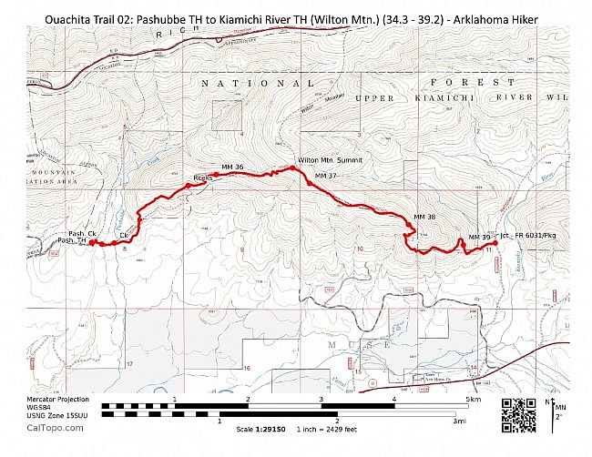
Ouachita Trail 02: Pashubbe TH to Kiamichi River TH (Wilton Mtn.) (34.3 - 39.2) |
|
|---|---|
| Location | LeFlore County, Oklahoma |
| Hike Length/Type | 4.8 miles each way. (9.6 miles out and back.) Blue blazes. |
| Difficulty | Very Strenuous (5 of 5) |
| Other Permitted Usage | None. (No mountain bikes .) |
| Gpx file by Mike | Link |
| Date Hiked | December 5, 2015 and earlier |
| Google Maps Directions | Google Maps Directions to the Pashubbe Trailhead |
| Official Info | (918) 653-2991 (Oklahoma Ranger Dist., Hodgen) USFS Website FoOT Website |
[Last revised: 6-10-2021.]


5 replies on “Ouachita Trail: 34.3-39.2 – Pashubbe TH to Wilton Mtn. to Kiamichi River TH (Section 1)”
Well done. This is really helpful for those considering hiking this section. Through the Kiamichi Wilderness Area the trail maintenance procedures are such that hikers (no horses or bikes) can experience the “wilderness” as it should be. The tread width of the trail in this wilderness area, all the way to the Arkansas State Line, is only supposed to be 24″ or so, which is much less than you see on much of the OT. That makes it a challenge, but that’s why it’s a Wilderness Area!
On your FINAL NOTES, if a person plans to do this hike from east to west by accessing the Kiamichi Trailhead they should know they must cross the Kiamichi River soon after exiting north on FR 6032 off Hwy 63. If the USGS Kiamichi River Guage is over 3.5 in height, the river is nigh impassible in a vehicle unless you’ve got a high-sitting 4 wheel drive vehicle. If it’s over 4.5 you can probably forget crossing in a vehicle. In short, the Kiamichi Trailhead is hard to get to in a vehicle unless you’re really determined. Sometimes I park on the south side of the river, cross with “river shoes” and then hike a mile down FR 6031 to MM 39.2, which is the Kiamichi Trailhead. The trail eastward, from Kiamichi Trailhead, is a nice hike through the river valley but beware if it starts to rain. The Kiamichi River rises quickly and a hiker should make a plan to hike out of the valley if heavy rains are forecast. Getting to the bottom of Wilton Mountain at 39.2, or to the bottom of Rich Mountain at 43.8 are safer spots to stay out of rising river waters.
Can’t wait to see your next post! Thanks.
Thanks for the kind comments and for the helpful information, Mark.
Myself and 4 other guys are going to hit this soon. Question, we will hit the end or your trail on day 1 and plan on setting up camp there that night. However we have the entire next day to explore as well, any guidance on where to continue to that morning, we will maybe still camp at the summit spot. just looking for some guidance on a little side expedition.
Darrin, Thanks for your question. I have not done the entire Section 2 yet. My suggestion would be to forward your question to Friends of the Ouachita Trail (http://www.friendsot.org/more_foot_info.htm) and they should be able to find someone with some good ideas for you. Have a good hike! Mike
I am going to be going up this mountain spring break, to spread ashes of a friend. This in the easiest trail I have heard about.