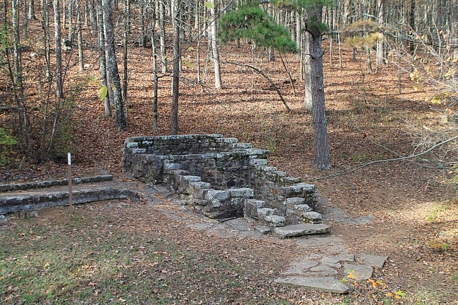
This is a 3.4-mile segment of the Ouachita Trail from the Horsethief Springs junction to the Winding Stair Trailhead. It’s a scenic walk along the north side of Winding Stair Mountain that, for the most part, is not very difficult.
The Tim Ernst mileage for this segment is mile point 19.9 to 23.7. By my gps calculation though, it’s closer to 3.4 miles in length rather than 3.8.
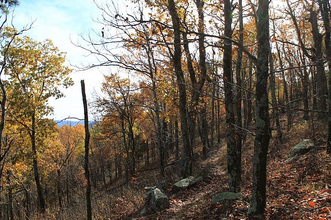
When I hiked this segment recently, I started at Horsethief Springs and headed east to the Winding Stair trailhead and then back for a 6.8-mile hike.
Getting to Horsethief Springs
Horsethief Springs is an attraction and picnic area along the Talimena Scenic Drive. Part of this area, including the stone enclosure around the spring, was constructed in the 1930’s by the Civilian Conservation Core.
There are picnic tables here and informational signs about the history of this spot. Apparently, the spring may have been use by outlaws during the Wild West days.
If you’re coming from Poteau, you should take Highway 59 south through Heavener. When you get to Highway 259 (south of Hodgen), turn right (south). After 4 miles, take another right to get onto the Talimena Scenic Drive (Highway 1).
Go right on the Scenic Drive (west). After 4 miles, the Horsethief Springs picnic area will be on your right. There is usually plenty of parking here.
Head down to the back where the spring enclosure is. (There’s also a nice overlook here.)
To your right, you’ll see a sign for the spur to the Ouachita Trail.
The Hike
The .1-mile Horsethief Springs spur (white blazes) is a short rocky trail that heads straight out for about 200 feet and then goes downhill a short ways where it joins OT (blue blazes). Turn right here to head east toward the Winding Stair Trailhead.
This segment is almost evenly divided by the crossing at Forest Road 6014. The first (west) part is about 1.6 miles, and the rest is about 1.8.
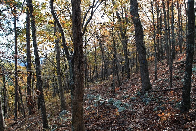
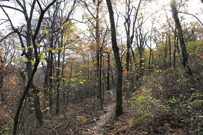
The OT from Horsethief Springs to FR 6014 is not difficult, unless you have a lot of trouble with rocky trails. The trail stays fairly level over this mile and a half with only about 100 feet of net elevation change. For the most part, it makes one long almost-straight southeasterly line.
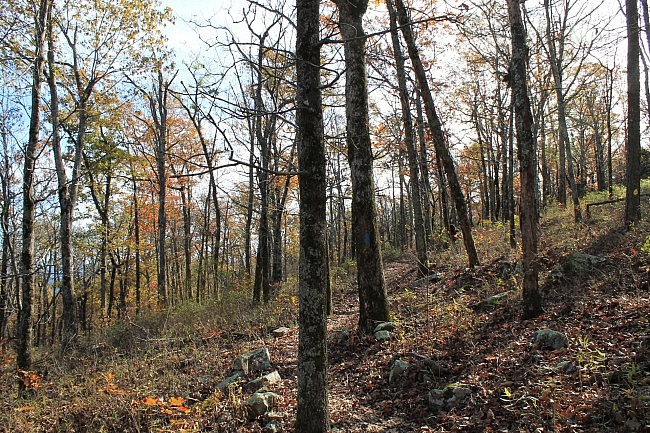
But it’s not boring. Far from it. This stretch is all along a steepish sloped hillside that has a lot of character. I love hillside-following trails like this, due to the interesting topography.
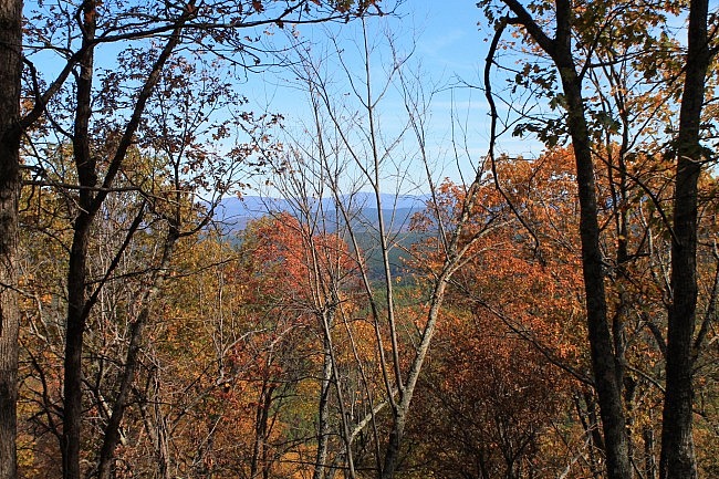
All throughout this segment, there are spots where you can get some nice views (amid the trees) of the valleys to the north. There aren’t really any wide open vistas, but in this area you are at nearly 2,000 feet up which can lend to some pretty cool views (or glimpses of views).
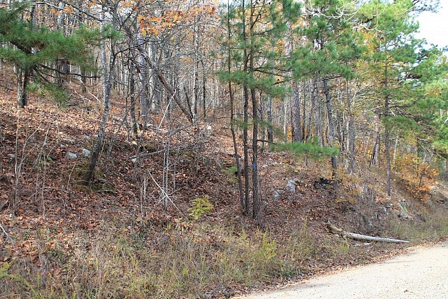
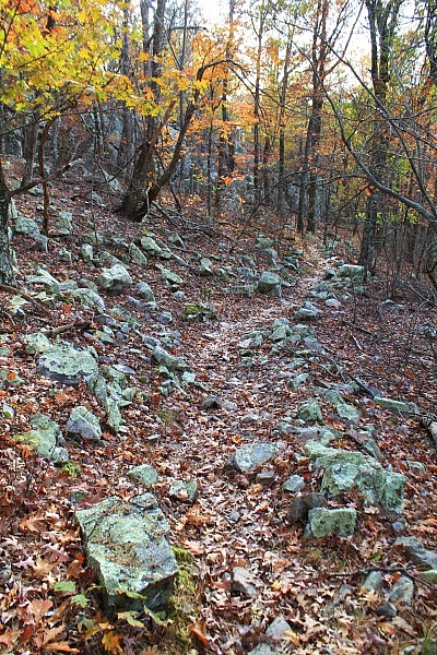
There are a lot of interesting rocks all along the trail. Much of this part of the trail is lined with rocks. You can tell that a lot of work went into building this part of the OT.
When the trail reaches FR 6014, it drops down a bit. Then after .1-mile or so, it drops down a little further. The next half mile is at a little lower level than most of the last segment.
For the next half-mile, the trail continues to make a pretty straight southeast line. To me, this terrain isn’t quite as interesting as the earlier part since the hillside slope is less steep.
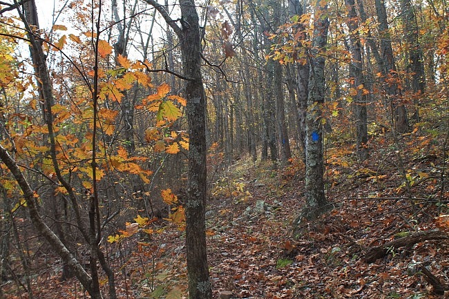
At around 22.4, you’ll come to the east juncture of the upper loop of the Billy Creek Trail. This trail joins the OT at around Horsethief Springs.
The rest of this segment to the Winding Stair Trailhead is more interesting though as it climbs up a pretty significant hill from 1,700 to about 2,000 feet elevation. The trail, paralleling the Talimena Scenic Drive, still heads generally southeast, but it does a pretty good amount of switchbacking as it climbs up the fairly steep hill.
In this area, the trail is higher than the highway.
One highlight of this segment is a pretty cool rock garden with a nearby rock ridge up above. This area is on the west side of the hill.
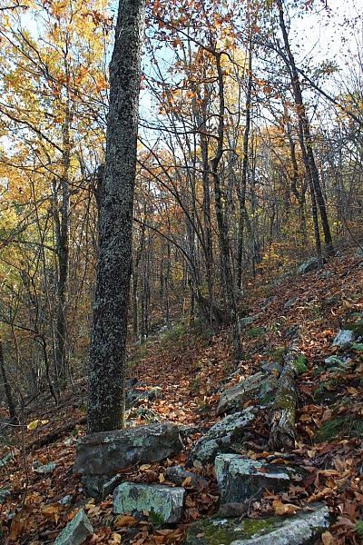
At around 22.9, you’ll come by a junction of the Mountain Top Trail. It overlaps the OT until the Winding Stair Trailhead.
After reaching the top of the hill, the trail descends back down about 100 feet as it connects to the Winding Stair Trailhead.
At around mile point 23.7, you will be at Winding Stair Trailhead. There is parking here and a pit toilet. There is a spur trail from here that goes to the Winding Stair Campground. (Note that this campground is not open year-round.)
The OT continues to the right and then crosses to the south side of Talimena Scenic Drive. This is the end of Section 1.
Final Notes
A note about the mile markers. On the vast majority of the OT, you will see a designation on a tree letting you know which mile of the OT you are on. On this segment, you should see Mile Markers 20 through 23.
The vast majority of the trail was in good condition and easy to follow when I did my hike on November 14, 2015. These photos are all from that hike. [More pics from that hike are here and here.]
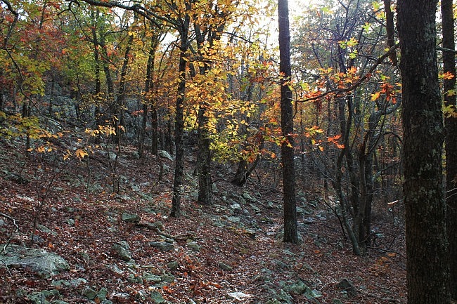
The fall foliage that day was definitely past peak, but there was still quite a bit of color in places.
I had AT&T cell signal for about 75% of the time.
For hiking the Ouachita Trail, I recommend Tim Ernst’s Ouachita Trail Guide.
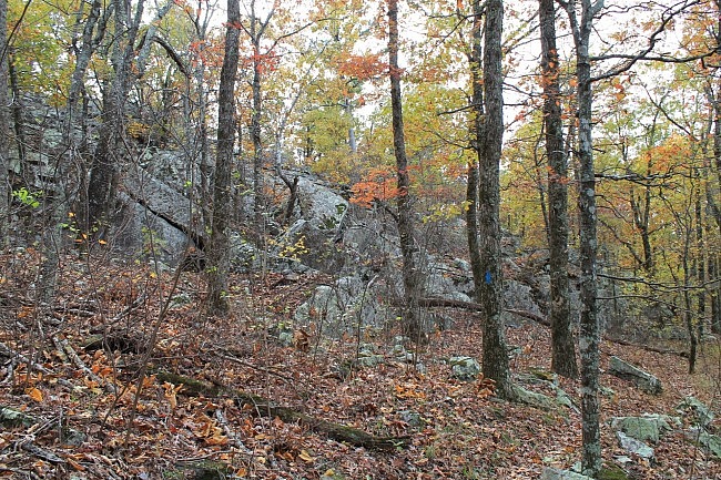
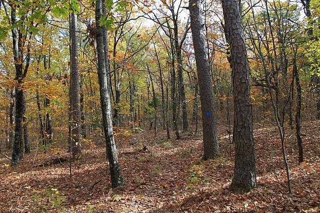
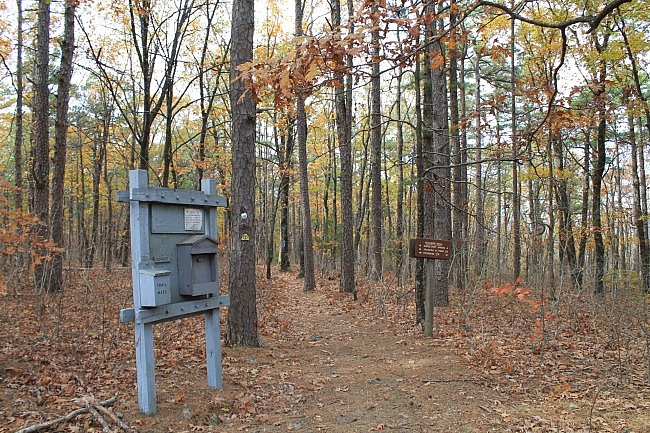
Photo Gallery
Click below for full-screen photo gallery of these pics plus more from my October 15, 2015 hike between Horsethief Springs and Winding Stair Trailhead.
Map
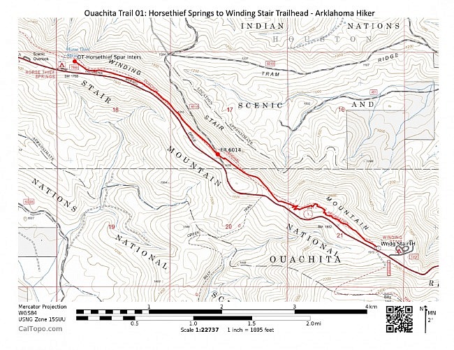
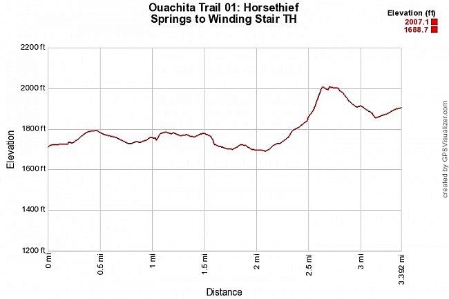
Ouachita Trail 01: Horsethief Springs to Winding Stair TH. (19.9 – 23.7) |
|
|---|---|
| Location | LeFlore County, Oklahoma |
| Hike Length/Type | 3.4 miles each way. (6.8 miles out and back.) Blue blazes. |
| Difficulty | Moderate (3 of 5) |
| Other Permitted Usage | Mountain bikes |
| Gpx file by Mike | Link |
| Date Hiked | November 14, 2015 and earlier |
| Directions | Google Maps Directions to Horsethief Springs |
| Official Info | (918) 653-2991 (Oklahoma Ranger Dist., Hodgen) USFS Website FoOT Website |
[Last revised: 8-29-2021.]


