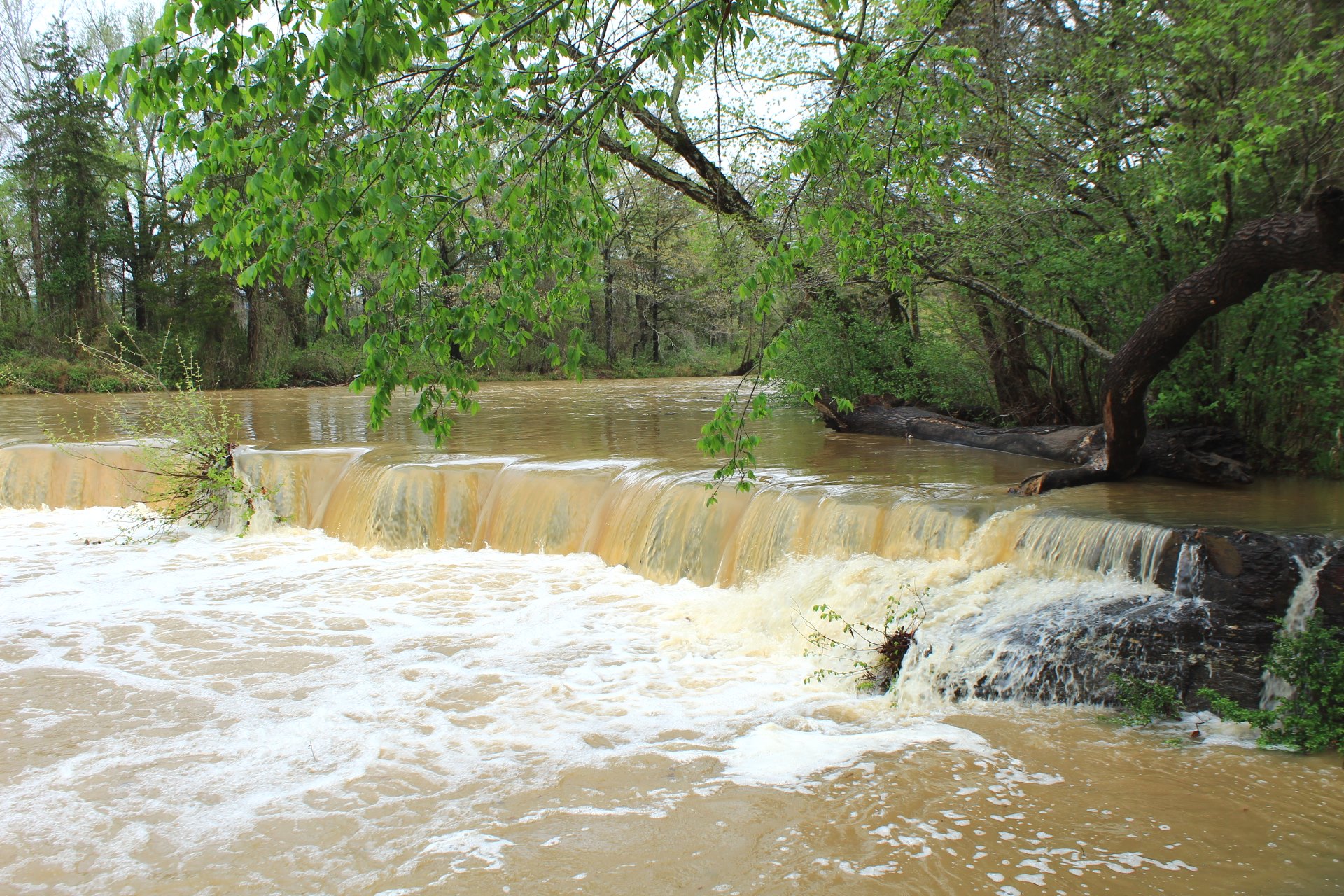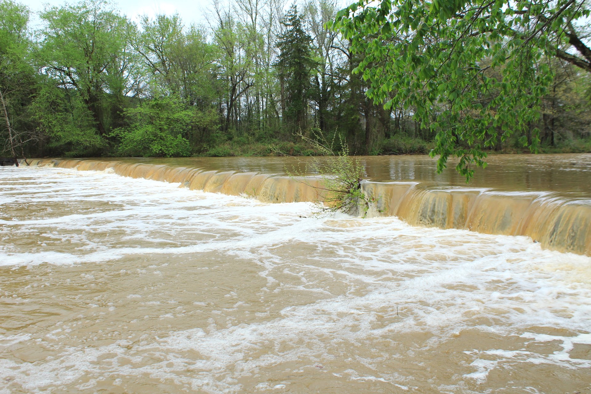
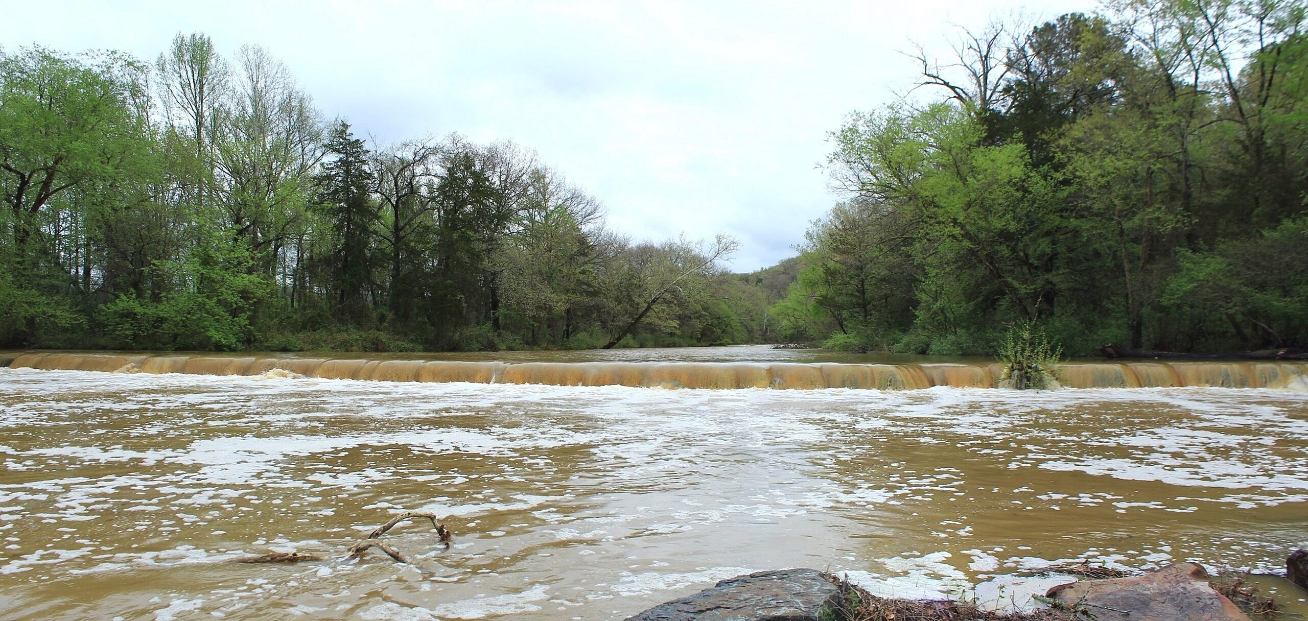
There is nothing like the drama and beauty of a waterfall at flood stage!
Back on April 4, 2026, following a period of heavy rain, I headed up to northwest Crawford County, Arkansas, to check out Natural Dam Falls. This stunning 187-foot-wide natural rock wall spans the entirety of Mountain Fork Creek.
Typically, like here, you’ll just see some flow at just a few sections of the rock wall.
Not on this morning.
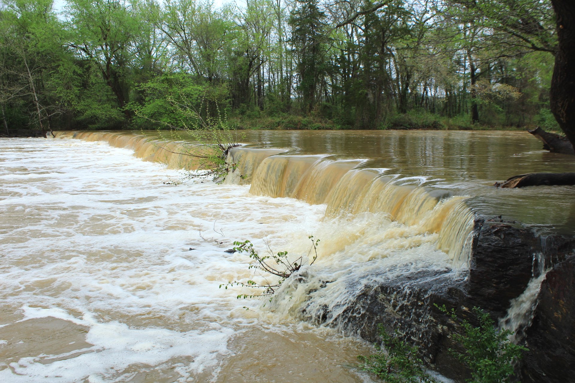
The recent downpours had caused the creek to be roaring! In fact, the volume of water completely covered the low-water bridge on Natural Dam Road just south of the falls.
Since the road to get across was impassable in that area, I just stayed on the east side (closer to Highway 59).
These are some of the shots I got that morning.
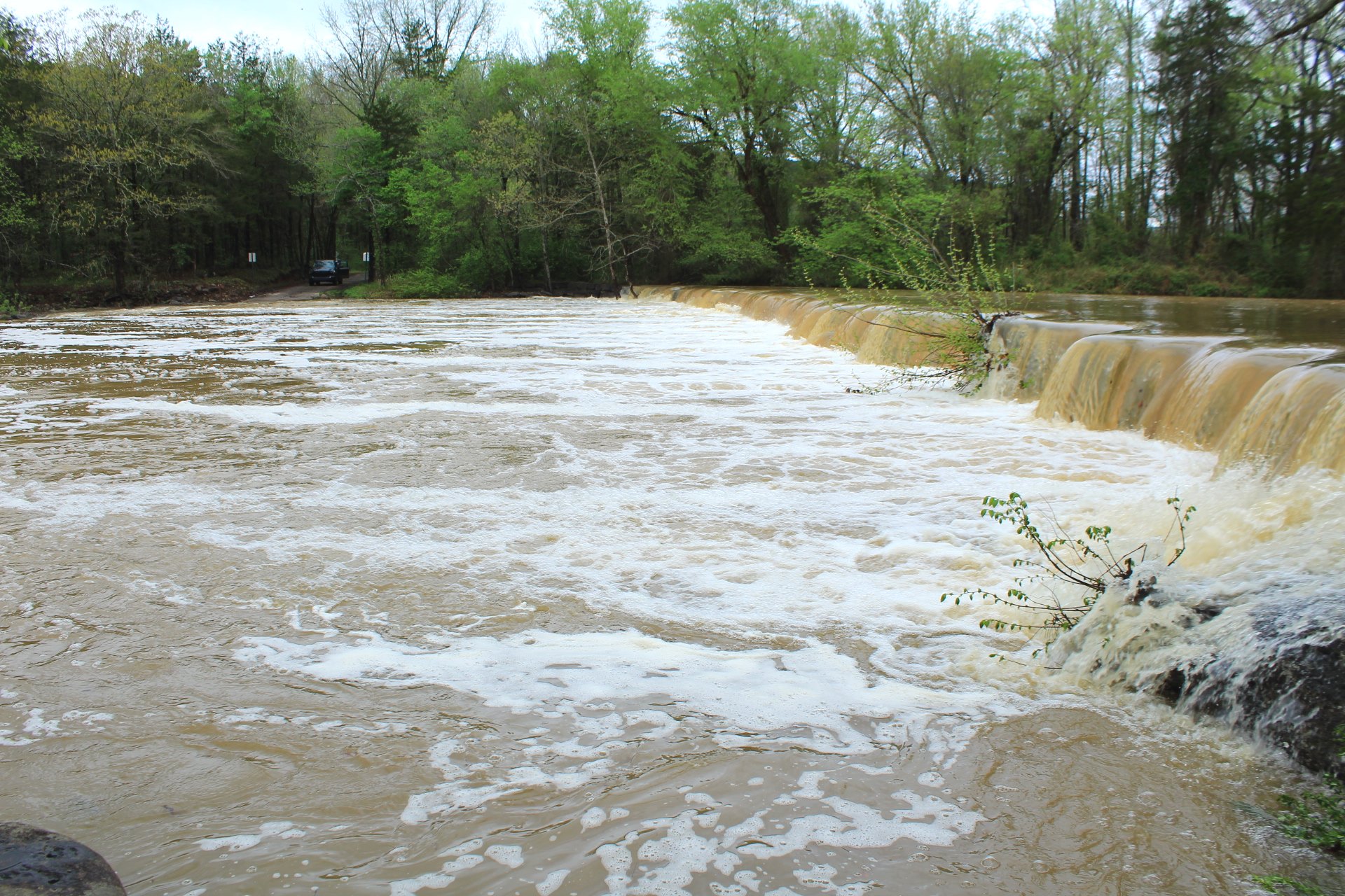
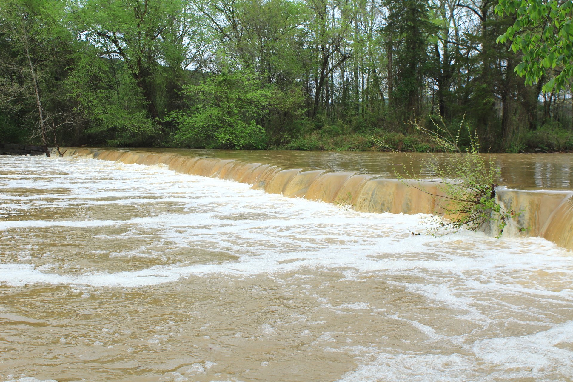
Photo Gallery
Click below for full-screen photo gallery.