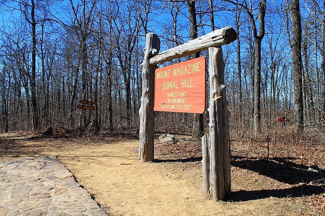
This is the trail that gets you to the highest point in Arkansas. And it’s not very difficult.
The highest point in Arkansas, 2,753 feet above sea level, is at the top of Signal Hill on Mount Magazine. It’s in Mount Magazine State Park in the Ozark National Forest’s Magazine District, Logan County.
The Signal Hill Trail takes you to the highpoint and makes an enjoyable 1.4-mile loop around the north and east parts of Signal Hill.
Getting There
To get to Mount Magazine State Park, you can take Highway 309 south from Paris. 309 goes through downtown Paris (check out Eiffel Tower Park while you’re there). The park is about 17 miles south of town. You can pretty much just follow the signs from downtown.
Or if you’re coming from the south, head north on Highway 309 from Havana. It’s about 10 miles.
When you get to the park, head over to the campground area. (Follow the signs.) The campground is over at the west part of the state park, near Cameron Bluff.
The trailhead is right across the road from the campground.
The Trail
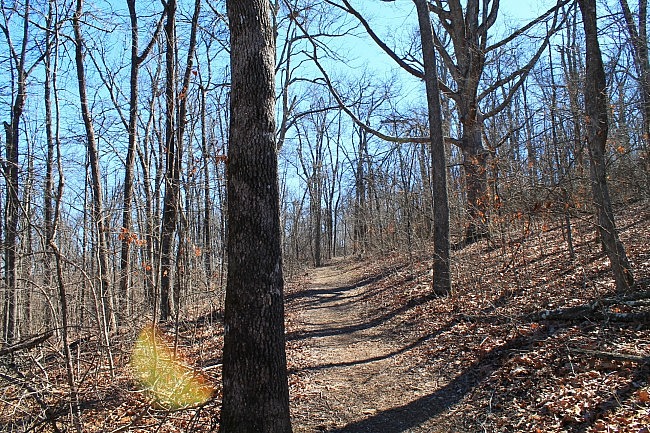
The trail has an initial spur of about 50 feet before you reach the loop. At the loop, I suggest taking a left to take the trail clockwise. (If you just want the shortest route to the highpoint, you can take a right. It’s then about a half-mile to the top.)
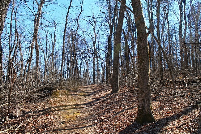
From here, the trail heads pretty straight to the southeast for the next .4 miles toward House Gap. It makes a moderate uphill climb (going up about 70 feet) for about .2 miles then heads back downhill.
House Gap is the small relatively flat area that lies between Signal Hill and Mossback Ridge to the east. (Mossback Ridge is only about 30 feet shorter than Signal Hill.)
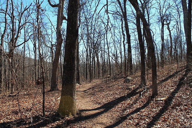
Then the trail makes a 90-degree right turn at a spur. Here, you are pretty much in the House Gap area, and you’re about 30 feet lower than the trailhead. (If you want to head east from here toward the Mossback Ridge Trail, turn left and follow the spur.)
Take a right here to continue. From here, the trail heads southwest for about .2 miles heading gradually uphill toward another spur junction.
This spur, if you take it to your left, will take you over to Mount Magazine Lodge. Turn right to continue on the loop.
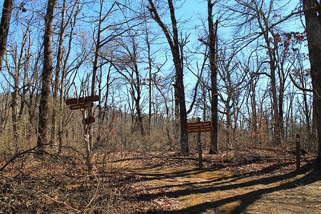
From here, the trail heads mostly north and northwest making a hook as it heads uphill to the highpoint.
When you get to the top, congratulate yourself on getting there, and take a look at Highpoint Monument. It’s a 400-square foot rock display in the shape of the state of Arkansas. It has different types of rock depicting the state’s 6 natural divisions. It’s a pretty cool display.
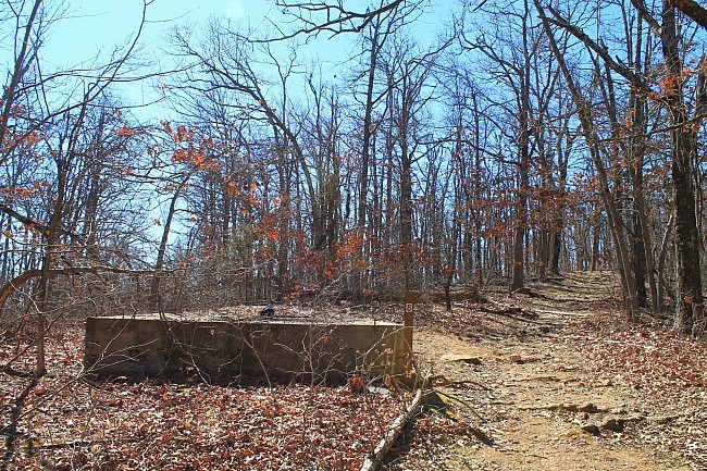
From here, the trail heads downhill for another half-mile back to the trailhead. It heads west at first and then turns and goes mostly northward back to the start.
Final Notes
There is some climbing on the trail, but not a lot. There is less than 200 feet elevation difference between the trail’s high and low points.
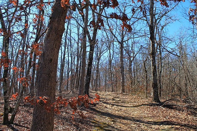
On my hike, the trail was in very good condition and easy to follow.
If you’re looking for great vista views on Mount Magazine, I would suggest checking out the Bear Hollow, North Rim, or Benefield East Loop Trails. There aren’t any overlooks on the Signal Hill Trail although during leaf-off you can get some small glimpses of the distant views through the trees.
I had only limited AT&T cell coverage when I did the trail earlier this year.
These photos are all from my February 7, 2015 hike.
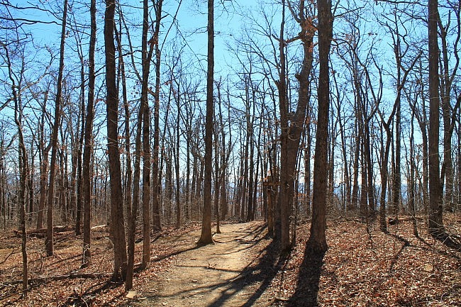
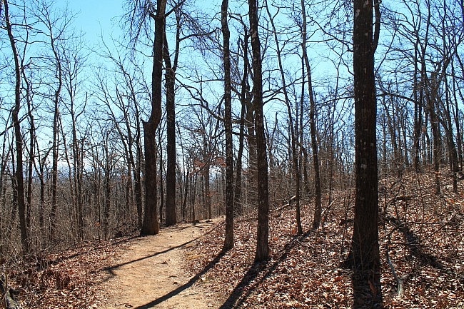
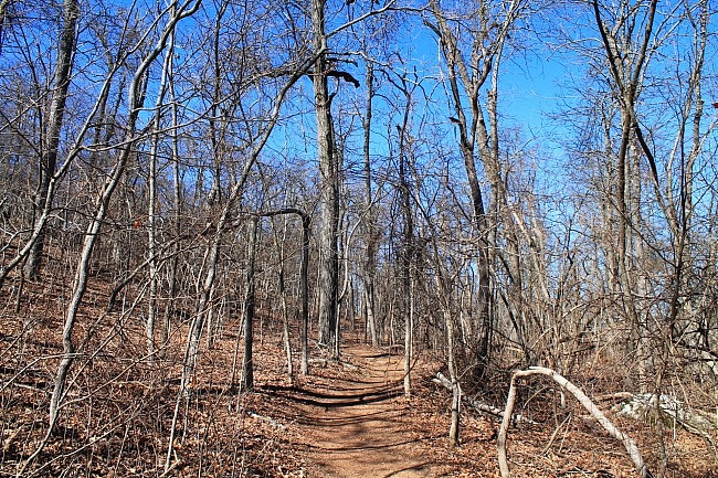
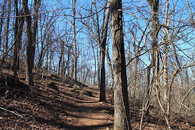
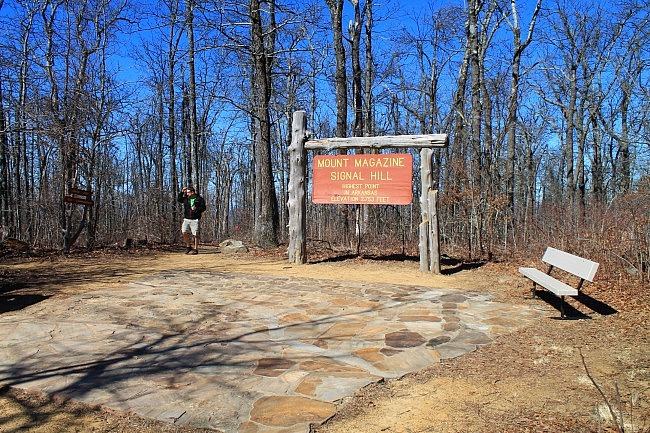
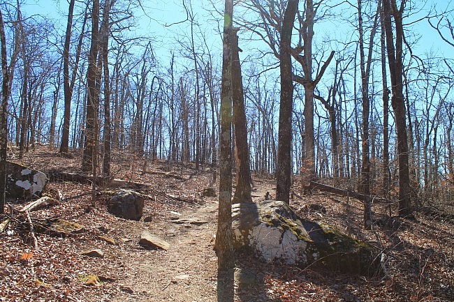
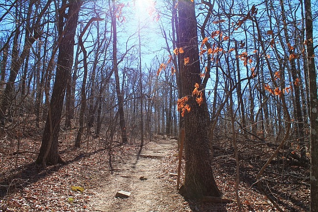
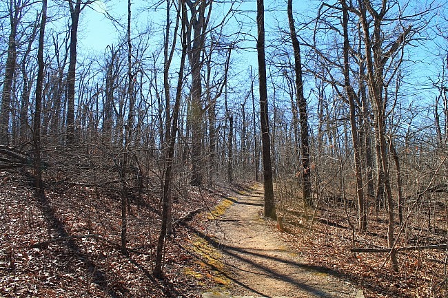
Photo Gallery
Click below for full-screen photo gallery.
Map
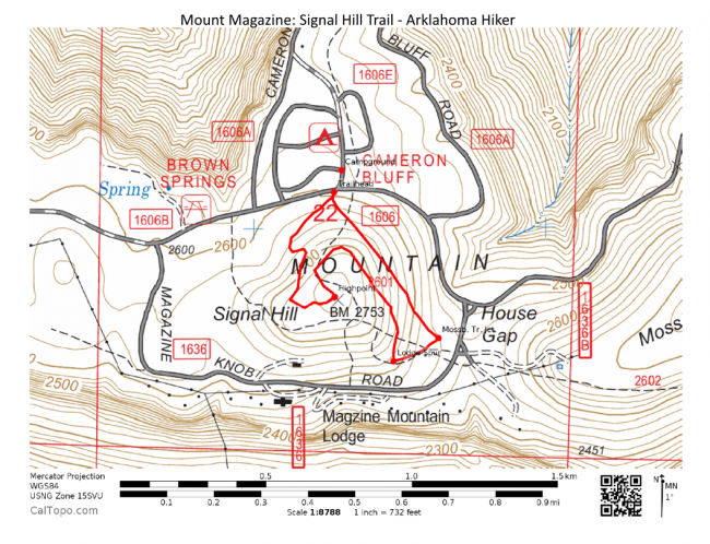
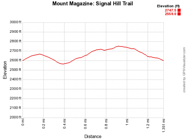
Mount Magazine: Signal Hill Trail |
|
|---|---|
| Location | Mount Magazine State Park, Logan County, Arkansas |
| Length/Type | 1.4 mile loop |
| Difficulty | Mildly challenging (2 of 5) |
| Gpx file by Mike | Link |
| Date Hiked | Feb. 7, 2015 (and earlier) |
| Directions | Google Maps Directions to Mount Magazine Campground (Near the Trailhead) |
| Official Info (Links) | 501-321-5202 Website Park Trail Map (pdf) |
[Last revised: 10-30-2019.]


