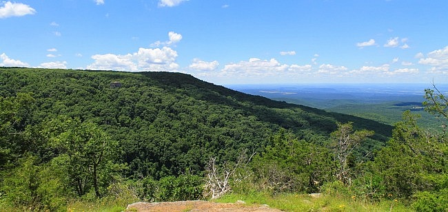
The North Rim Trail at Mount Magazine is one of the 3 trails with the park’s best views. (The other two are Bear Hollow Trail and Benefield East Loop Trail.)
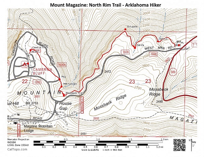
The trail runs along the north rim from the visitor center on the east end over to the campground at Cameron Bluff on the west end.
It’s 5 miles as an out-and-back hike (2.5 miles each way). It has some great views and is not too difficult.
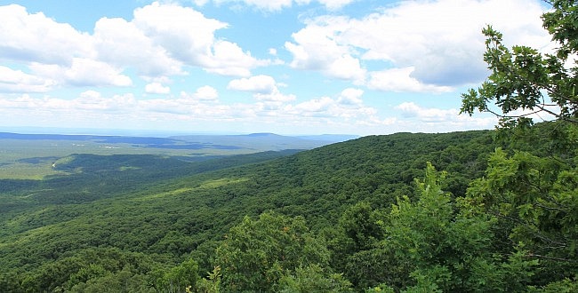
Getting to Mount Magazine Visitor Center
It’s probably easiest to start at the visitor center (east end). That will make most of the climbing on the first half of the hike.
To get to Mount Magazine State Park, you can take Highway 309 south from Paris in Logan County. 309 goes through downtown Paris. The park is about 17 miles south of Paris. You can follow the signs from downtown.
Or if you’re coming from the south, head north on Highway 309 from Havana. It’s about 10 miles.
When you get to the park, stop at the visitor center. The trailhead is on the left side of the visitor center.
The Hike
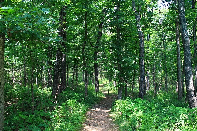
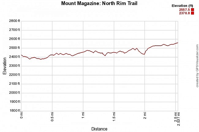
With an elevation difference of only about 180 feet, it’s not a difficult hike. About the only significant climb is in the west part of the trail around Gutter Rock Hollow. Most of the rest of the trail just has some mild up-and-down hill climbing.
The very first part of the trail heads slightly downhill from the visitor center toward the rim. After a few hundred feet, the trail turns and heads generally westward the rest of the hike following the in-and-out contour of the north rim.
During the first half-mile or so, the trail crosses 2 creeks — School Creek and later Dill Creek. These are quite scenic spots during wetter times of the year (usually late fall through spring).
The scenic highpoint of the trail is Dill Point at about .75 on the hike. This overlook is a very short walk just off of the trail via a spur. There are great views here in almost all directions.
My favorite view from Dill Point (as pictured) is the east-facing view of Mount Magazine.
There is another great vista point that is just about 100 feet over to the west. It has similar views to Dill Point.
During leaf-off, there are a ton of great views along most of the trail. There are not as many wide-open views during leaf-on, but the leaves add wonderful color to the trail and to the vista views.
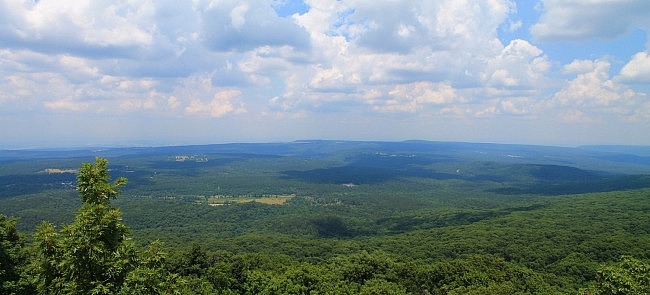
The other really great vista area is at around 1.2 on the hike. (There are also 2 great vista places here, about 100 feet apart.) This area (which I’ll sometimes refer to as the west vista area) has wonderful views to the north and great views of the Cameron Bluff area over to the west.
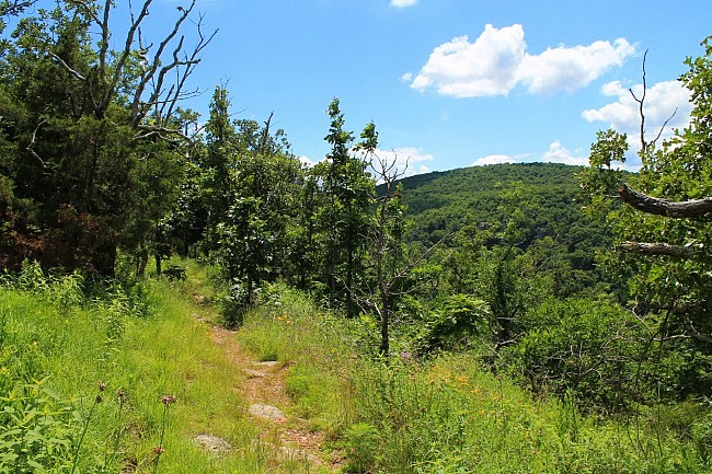
The Western Segment
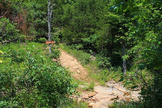
Around 1.8 miles, there is an intersection with signage on a large wooden pole. As the sign indicates, turn right here to stay on North Rim Trail.
If you want to head over to the Mossback Ridge Trail, instead go straight to take the spur over to that trail. If you head over to Mossback Ridge Trail from here, you can make a 10-mile loop using the Bear Hollow Trail and Will Apple’s Road Trail.
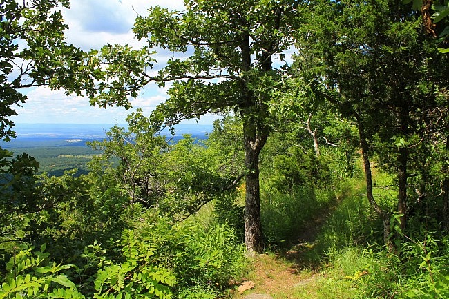
Back on North Rim, the trail heads downhill to the Gutter Creek area. (Again, it’s only really flowing during wet times.) Then the trail climbs back uphill again as it heads to the Cameron Bluff area.
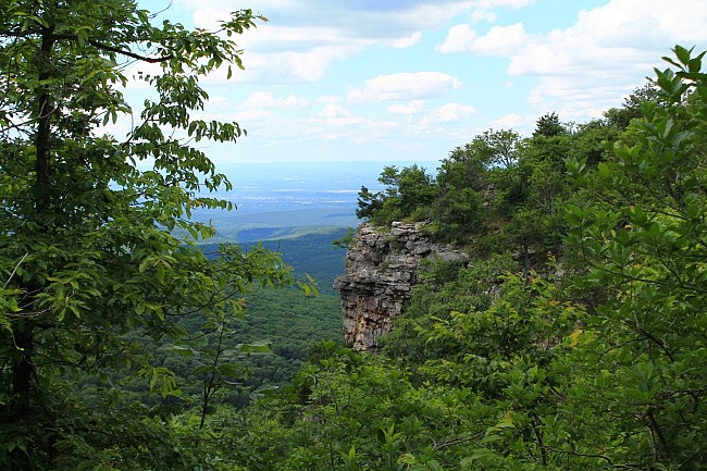
This part of the hike has the most significant climbing. It also crosses a scenic stream branch or two.
At around 2 miles, the trail crosses Overlook Drive. The last half-mile back to the campground area is a gradual uphill wooded walk that’s not difficult.
Final Notes
There were not a lot of blazes (red) the last time I did the trail, but they aren’t really needed. The trail is easy to follow. It was in great condition last time I hiked it.
If you decide to start at the west end, access there is about as easy as at the east end. Just park in the campground and walk to the trailhead at the back.
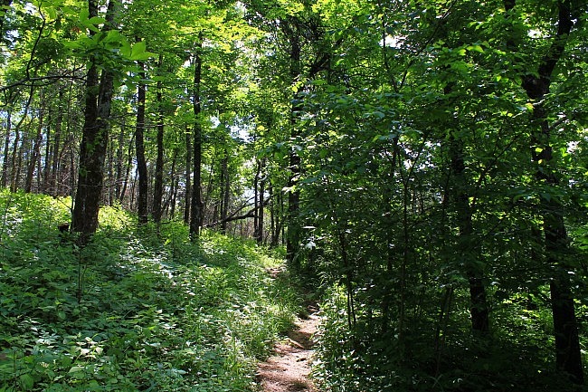
I had AT&T cell signal about 75% of the time on the trail.
These photos are all from my two most recent walks on the trail on June 5 and 11, 2016.
For another enjoyable short trail at Mount Magazine, check out the Signal Hill (Highpoint) Trail.
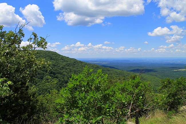
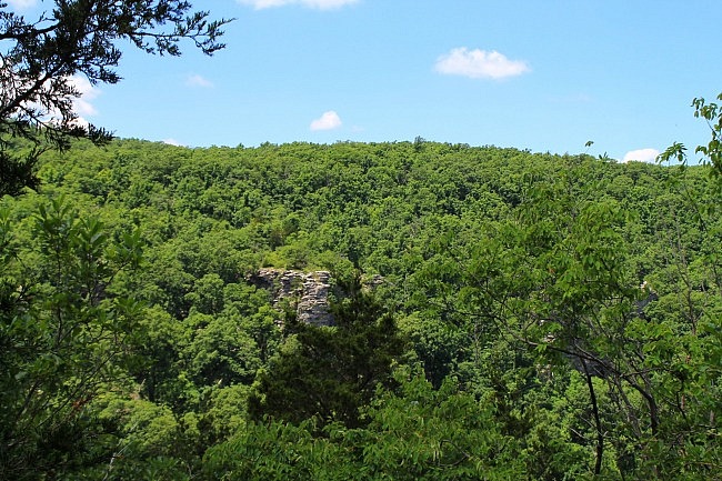
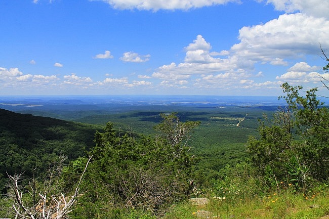
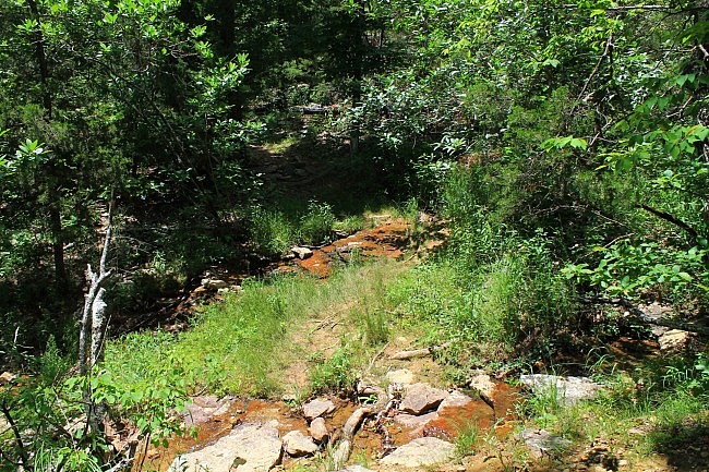
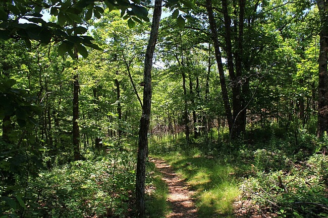
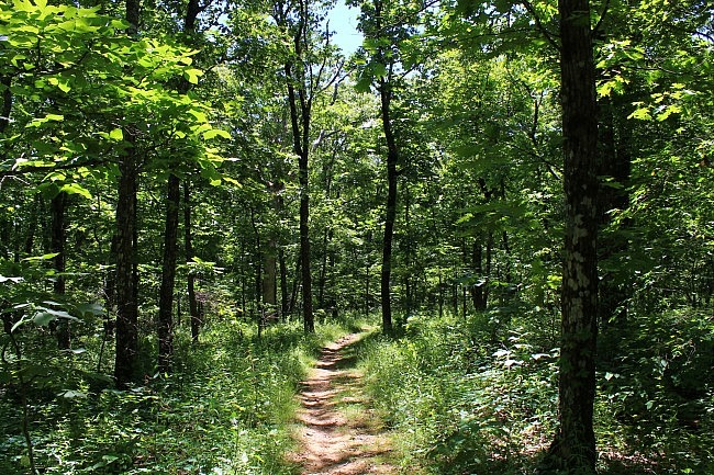
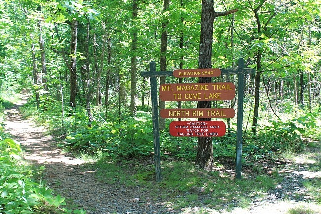
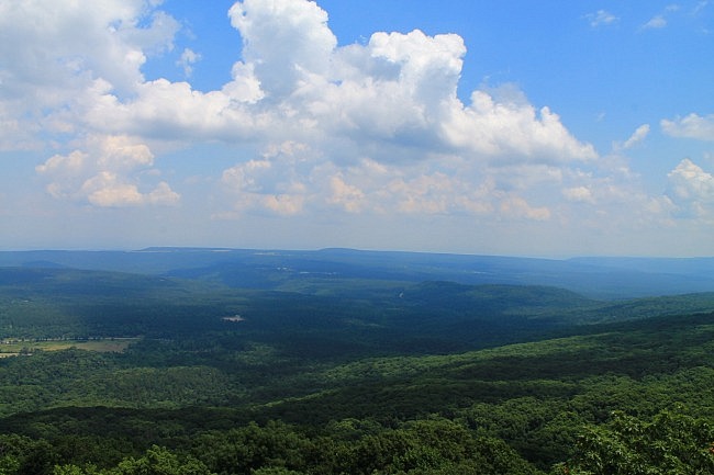
Photo Gallery
Click below for full-screen photo gallery of these and other pics from my June 2016 hikes on this trail.
Map
Mount Magazine: North Rim Trail |
|
|---|---|
| Location | Mount Magazine State Park, Logan County, Arkansas |
| Length/Type | 5 miles out and back (2.5 mi. each way) |
| Difficulty | Moderate (3 of 5) |
| Gpx file by Mike | Link |
| Date Hiked | June 5 and 11, 2016 (and earlier) |
| Directions | Google Maps Directions to Visitor Center (Trailhead) |
| Official Info (Links) | 501-321-5202 Website Park Trail Map (pdf) |
[Last updated: 7-25-2021]


