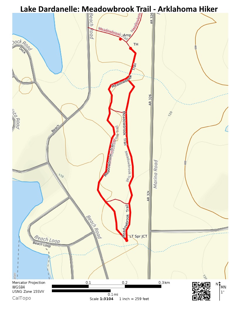
This is a pleasant and easy nature trail at Lake Dardanelle State Park in Russellville (Pope County). The trail (including the full loop) is just .8 miles.
There also are a couple of shortcuts that can be used to make a shorter hike (i.e., a smaller loop).
Getting to Meadowbrook Trail
To get to Lake Dardanelle State Park from the east, on l-40 take Exit 81 at Russellville, take Hwy. 7 south, then turn right on Hwy. 326, and it’s about 4 miles to the main park.
From the west on l-40, take Exit 78, turn left on U.S. 64. After 2 miles, turn right on Hwy. 326 and head on to the park.
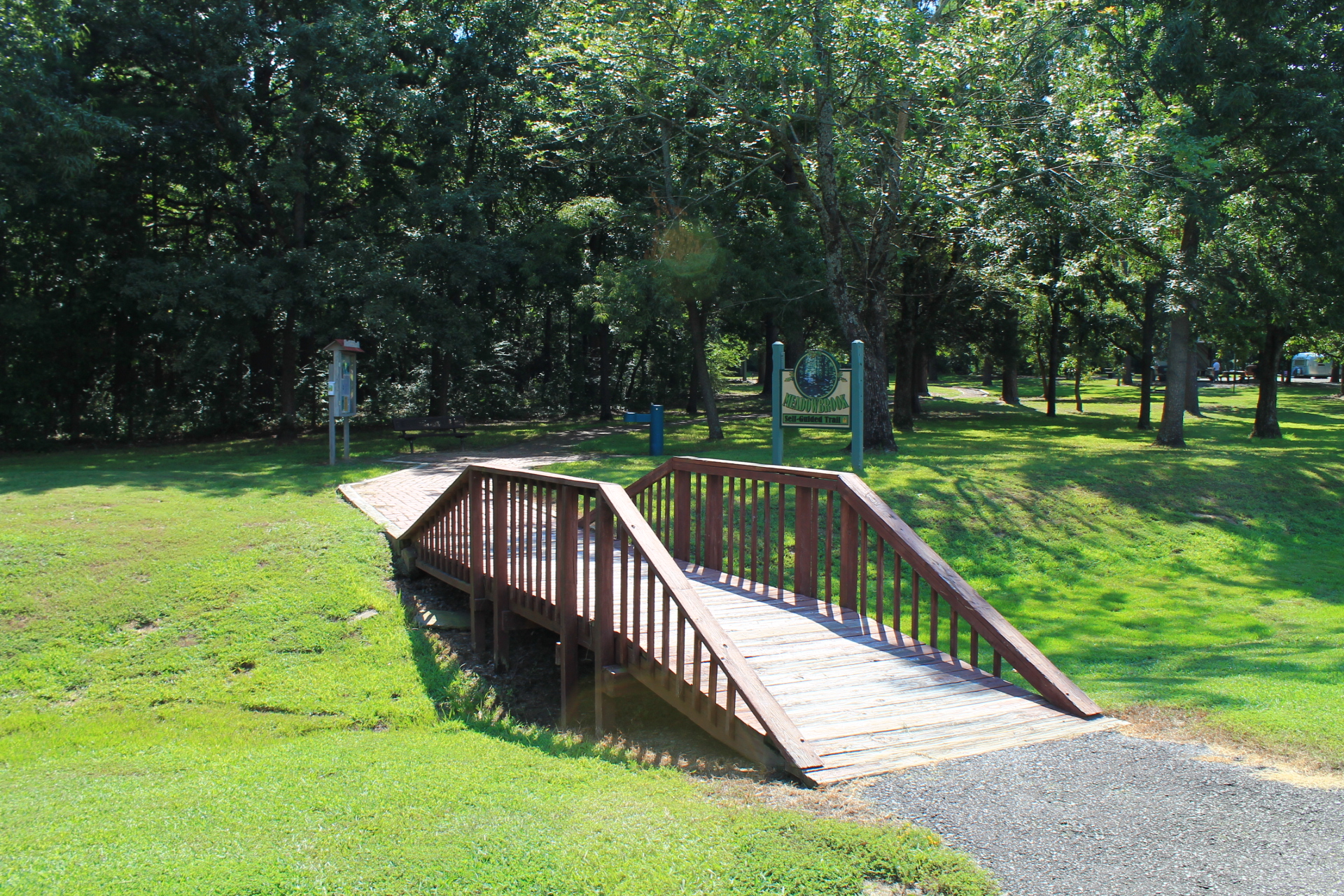
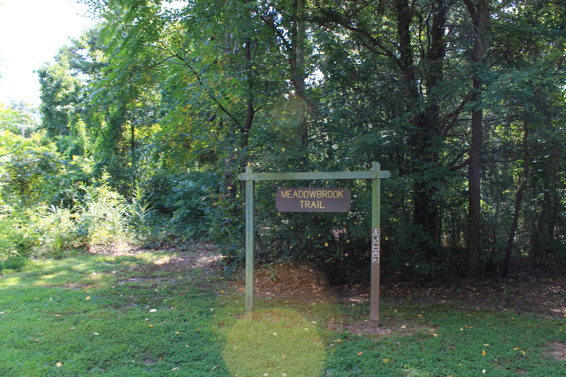
The main trailhead is behind the park’s amphitheater. Just watch for the sign. There is parking nearby.
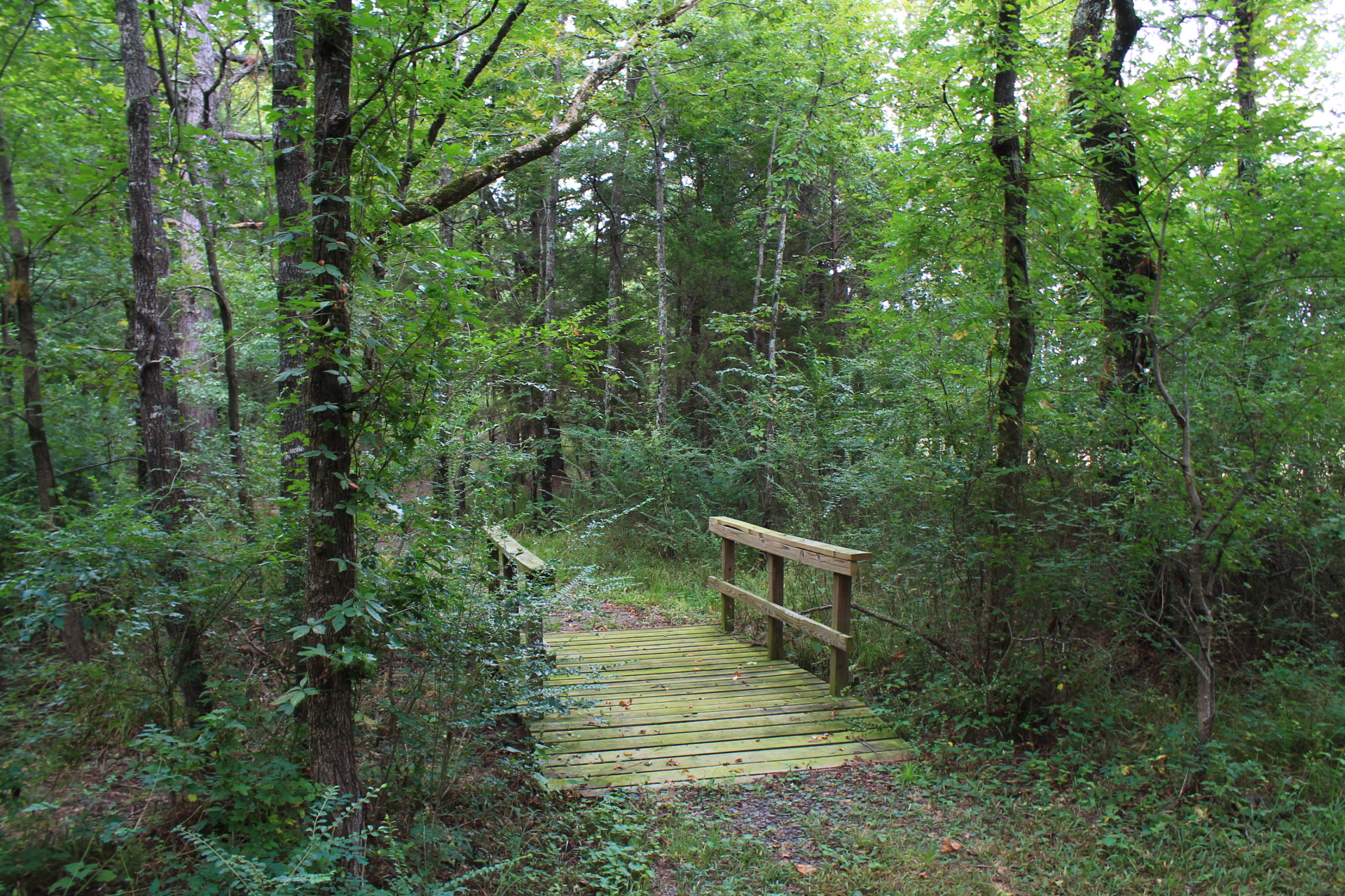
One of the interesting things to see on the trail is a wildlife watching deck close to the start of the trail on the left. Just after this is the start of the loop part of the trail.
There are a few small bridges along the trail.
At around .3 miles, you hit the south end of the loop where it curves and heads back toward the trailhead.
Final Notes
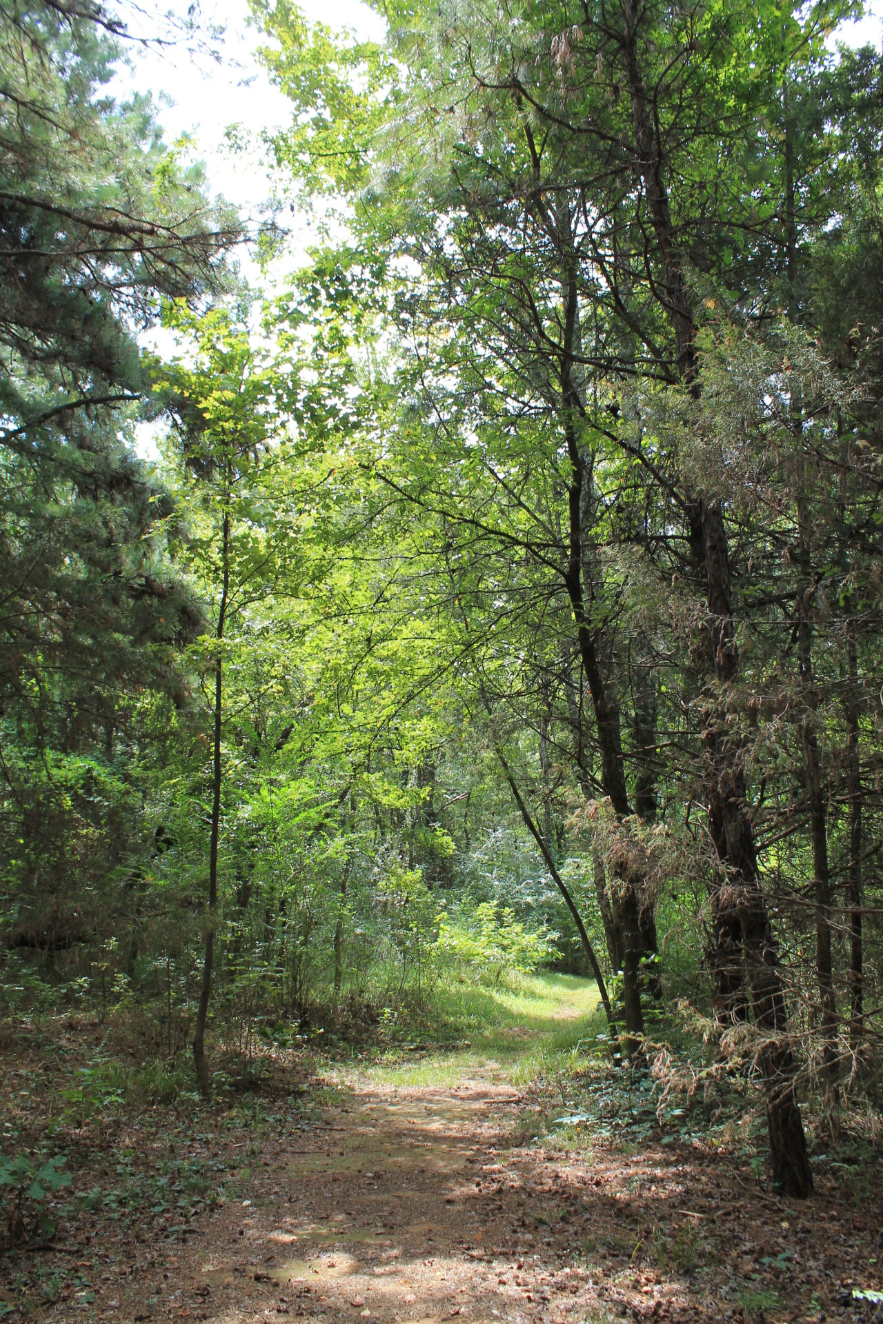
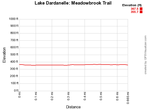
There is almost no elevation change on this trail. For a nonpaved trail, this is about as easy as it gets.
I had good AT&T cell coverage and the trail was in good condition when I was last there in August 2015.
These pics are from that visit to the trail.
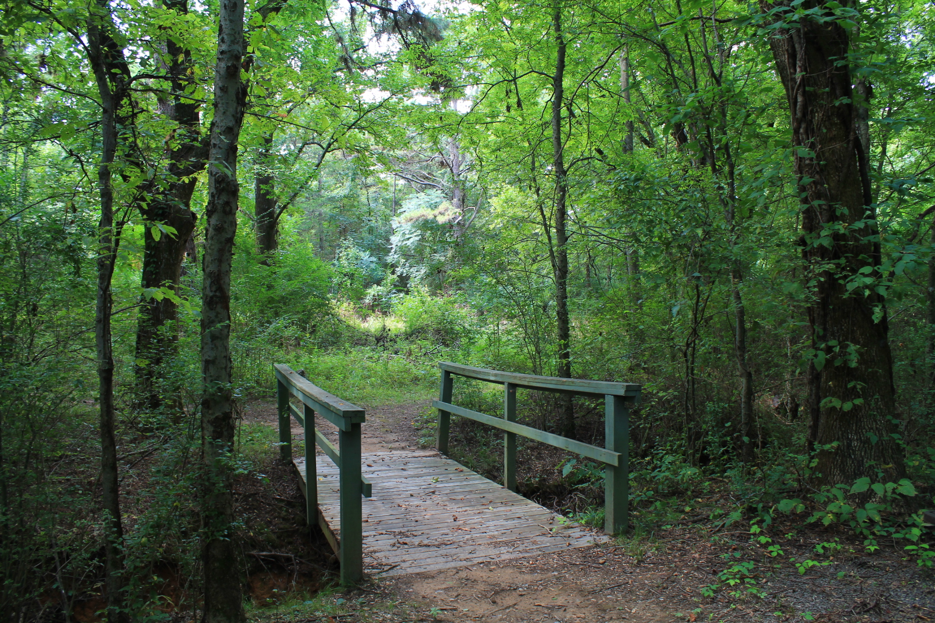
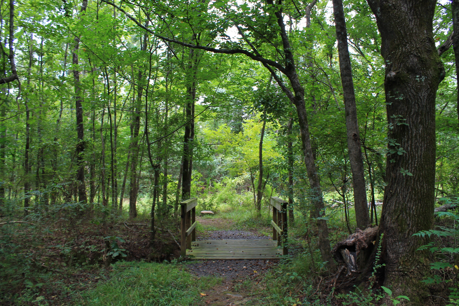

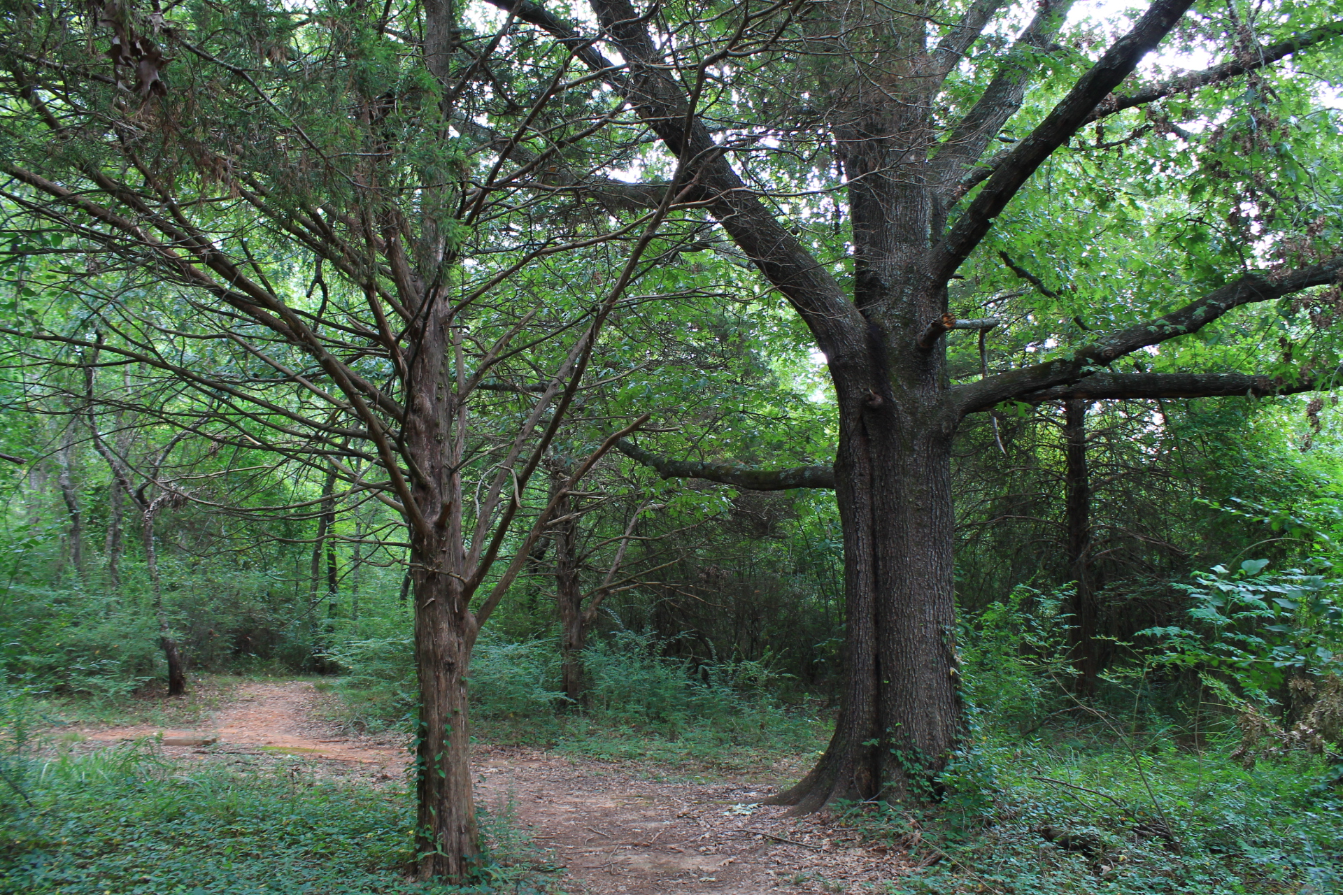
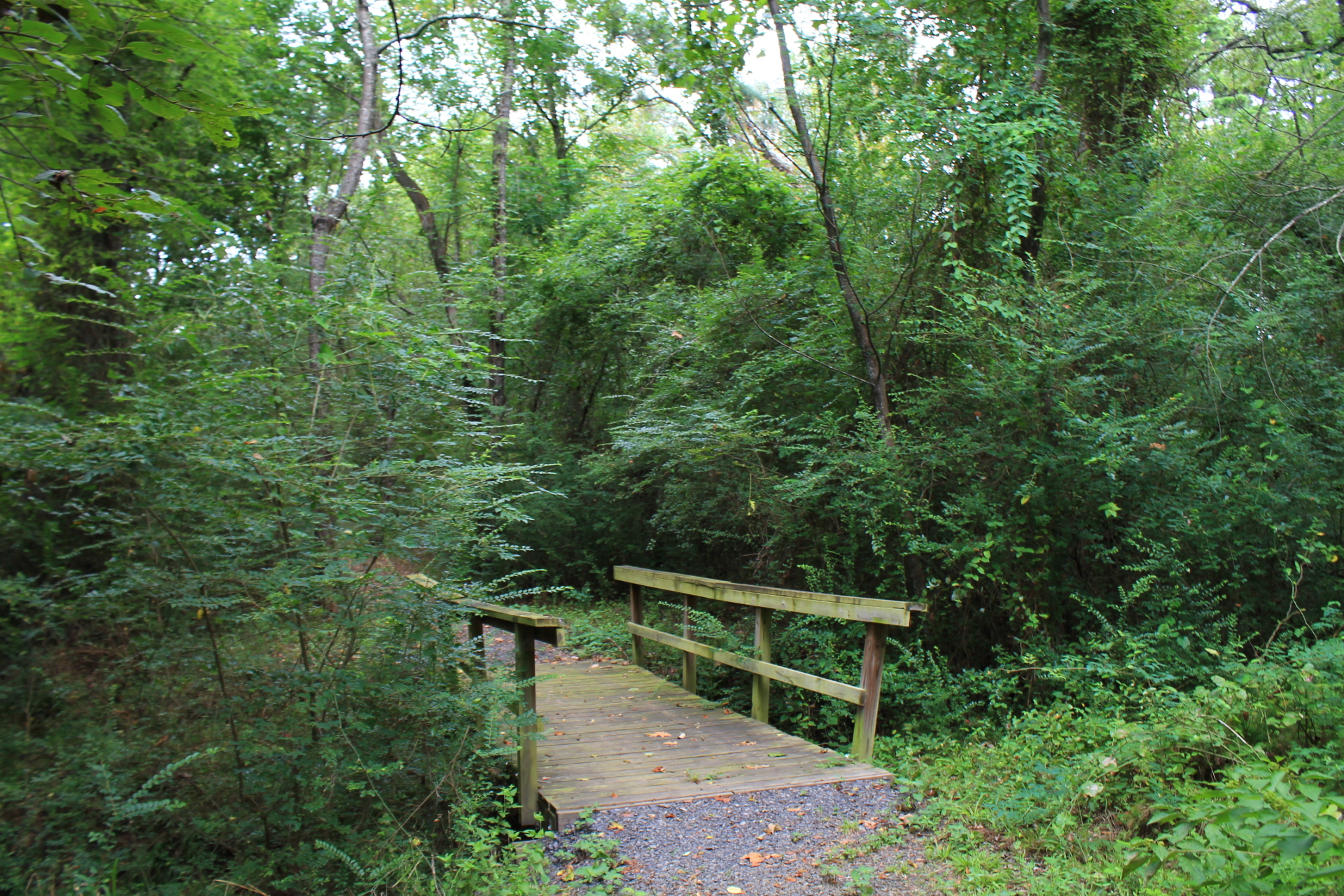
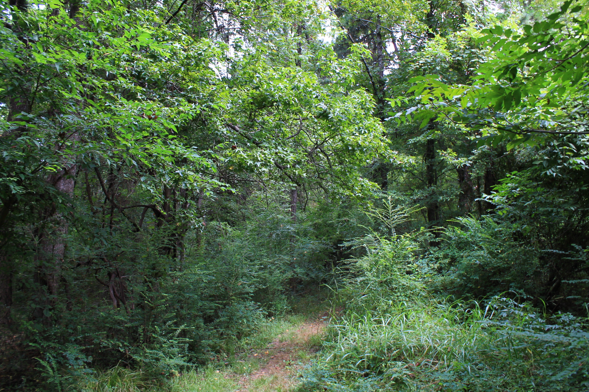
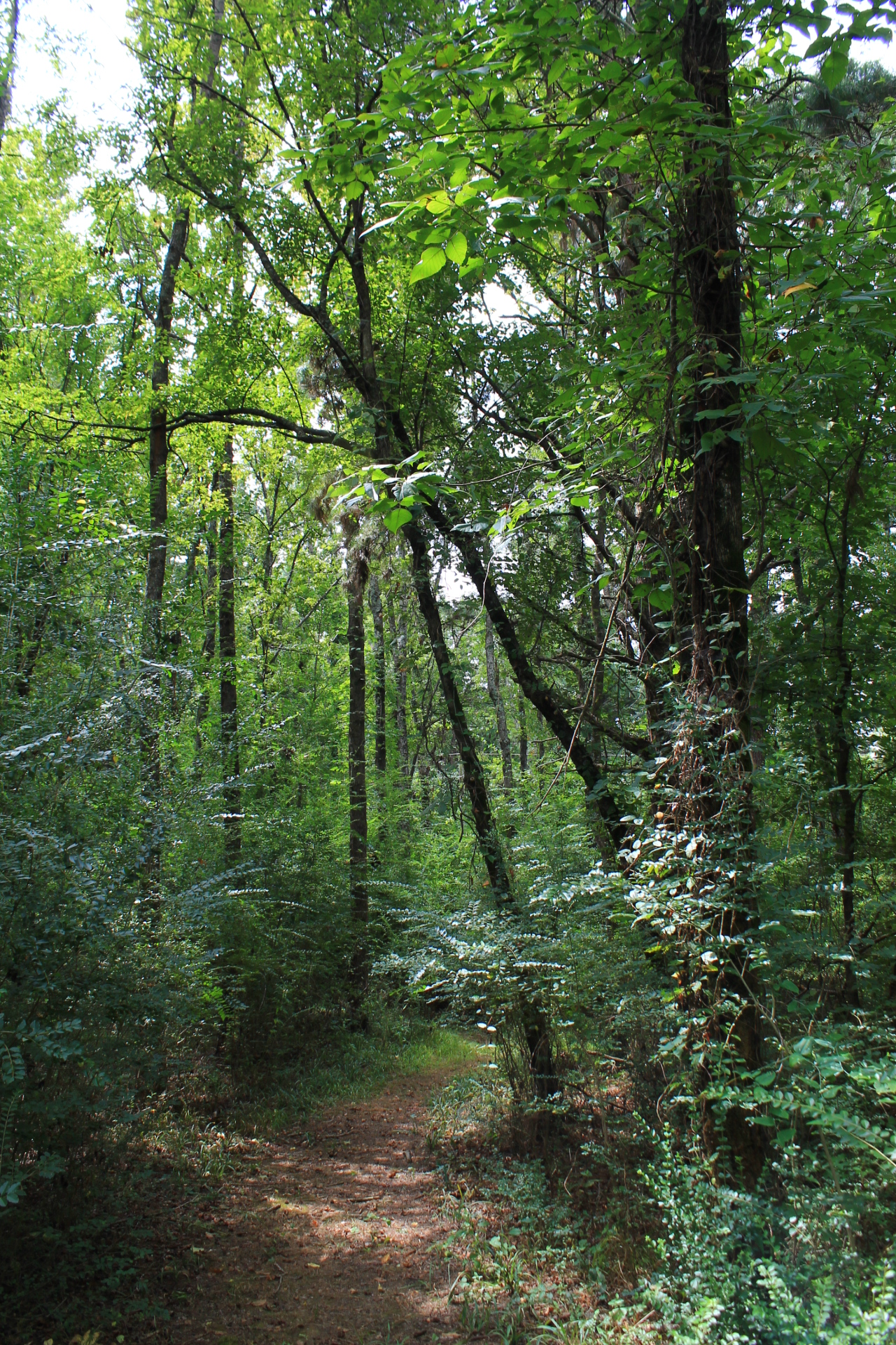
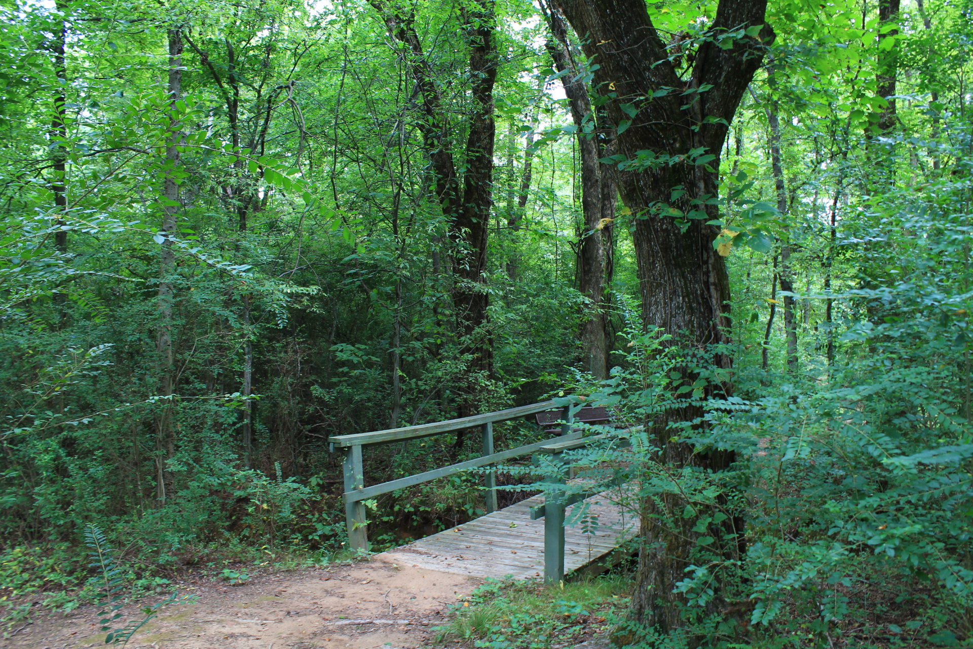
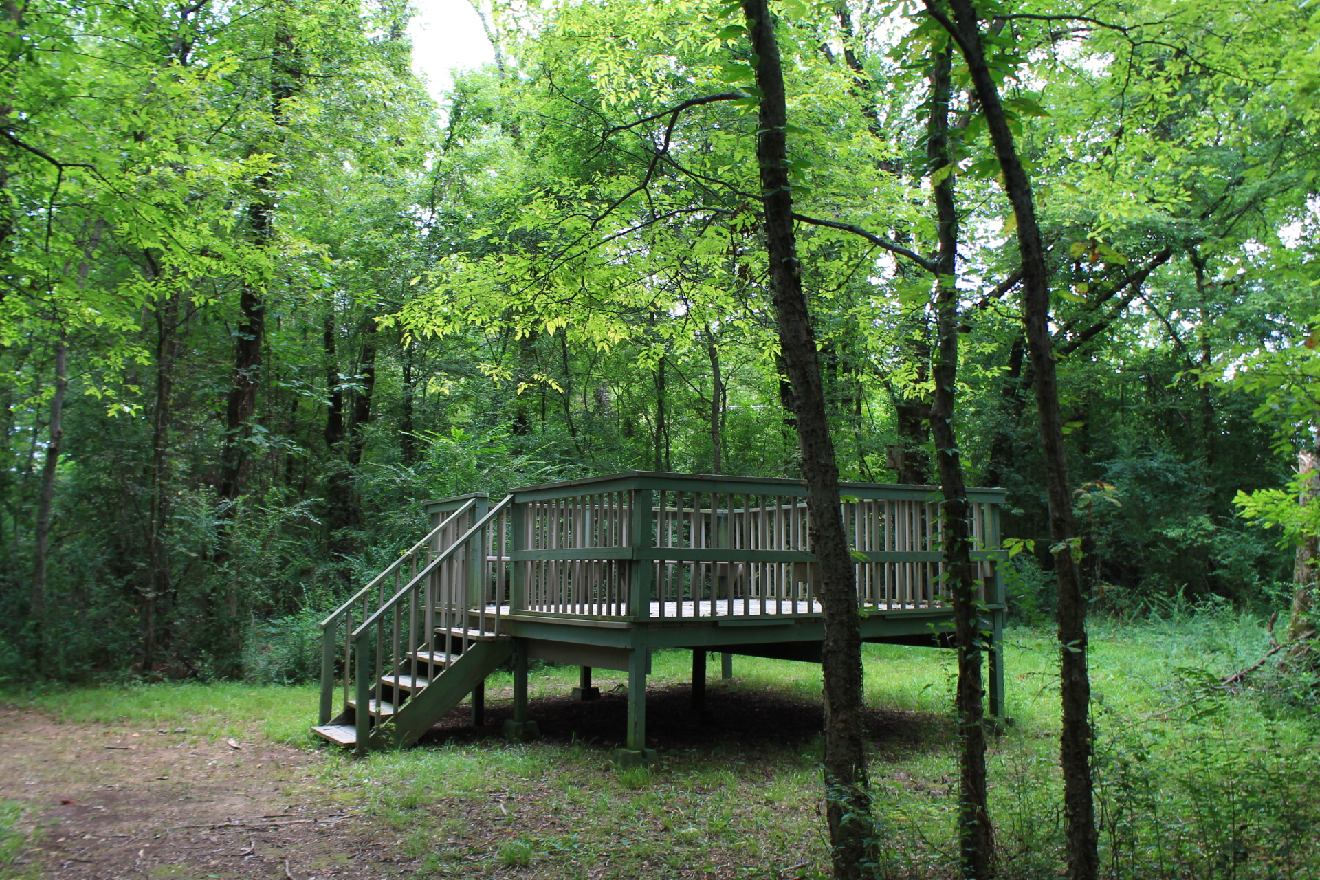
Photo Gallery
Click below for full-screen photo gallery.
Map
Lake Dardanelle: Meadowbrook Trail |
|
|---|---|
| Location | Lake Dardanelle State Park, Pope County, Arkansas (near Dardanelle and Russellville). |
| Hike Length/Type | .8 mile loop |
| Difficulty | Easy (1 of 5). |
| Other Permitted Usage | Pets on a leash. |
| Gpx file by Mike | Link |
| Date Hiked | August 22, 2015 (and earlier). |
| Directions | Google Maps Directions to Meadowbrook Trailhead |
| Official Info | 479-967-5516 Website Official Park Brochure (pdf) |
Last revised 8-15-2021.