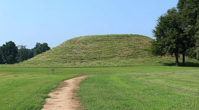
Toltec Mounds Archeological State Park (Lonoke County, southeast of Little Rock) is the site of the tallest surviving prehistoric mounds in Arkansas. The area was occupied from 600 to 1050 A.D. The Native American people who lived here are referred to as the Plum Bayou culture. One of the best ways to see the park […]
Tag: Profile
Trail profiles with photos and info about Arkansas and East Oklahoma trails.
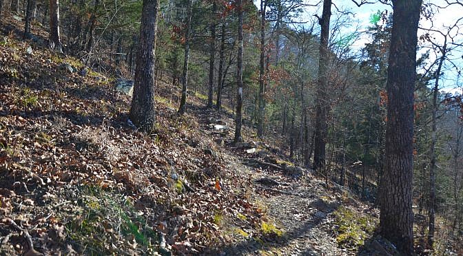
The Caney Creek Wilderness in the Ouachita National Forest in southwest Arkansas (Polk County, southeast of Mena, near Shady Lake) is one of the most beautiful and rugged areas in the state. It is 14,460 acres and is a backpacker’s paradise. Because it is a designated wilderness area, it is a great place for solitude […]
Will Apple’s Road Trail at Mount Magazine State Park, named for a Mount Magazine farmer, is one of the easier trails there. It is a former road that was a main route the early settlers during the 1800’s. It was one of the first roads to reach the crest. The trail is still basically a […]
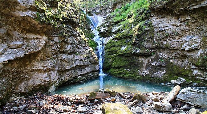
Elise Falls at the Nature Conservancy’s Smith Creek Preserve (Newton County) is one of the highlights of the area for photographers and nature lovers. The preserve is 1,226 acres around Smith Creek, a tributary to the Buffalo River. The preserve lies above Sherfield Cave (closed to the public) where the largest colony of Indiana bats in […]
This stretch of Section 3 of the Ouachita Trail (Ouachita National Forest) goes from Mile Marker 63 to the Foran Gap Trailhead (68.1) on Highway 71, just north of Mena (Polk County). The section of the Ouachita Trail between Eagle Gap (around Mile Marker 58) and Foran Gap is about 10 miles long and has no access […]
The Charlton Trail (Garland County near Hot Springs in the Ouachita National Forest) is a great mid-length trail with gorgeous wooded views. It is 4.1 miles long (or 8.2 miles for out-and-back hike). The trail starts at the Charlton Recreation Area on Highway 270 and heads to the northeast to Crystal Springs Recreation Area on […]