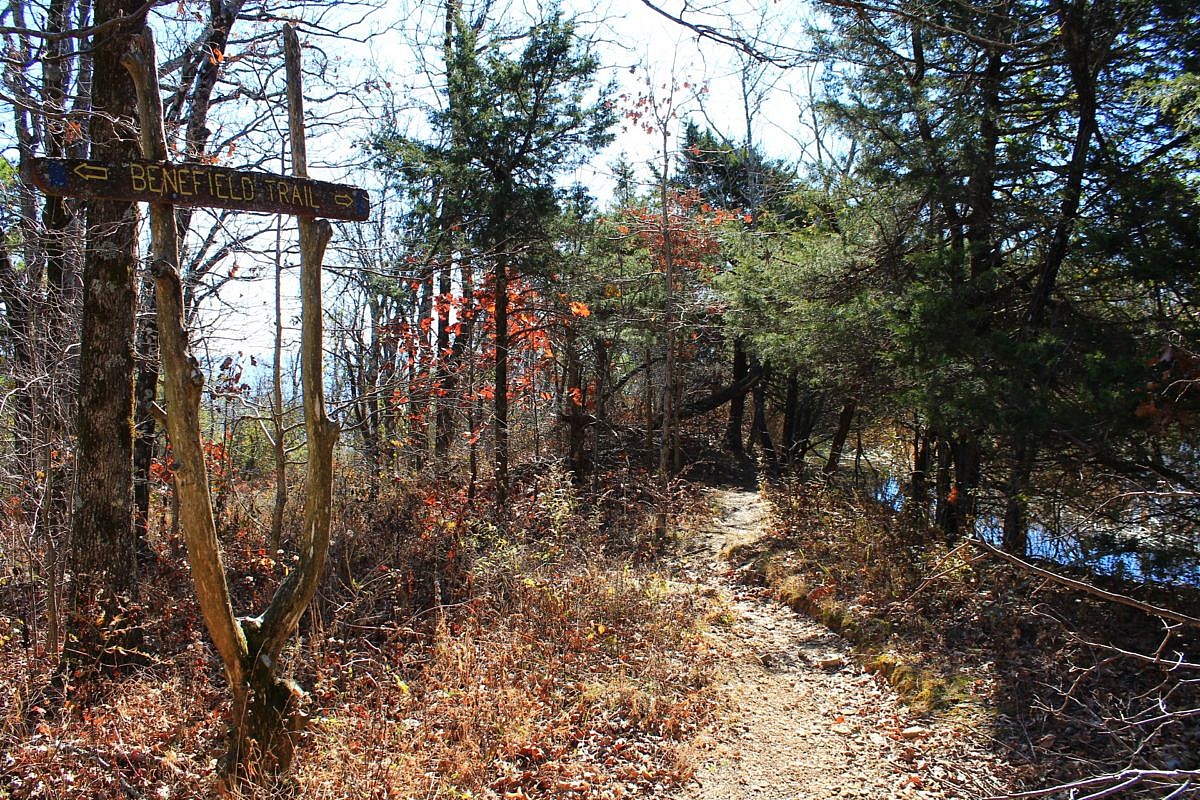
The Benefield West Loop Trail at Mount Magazine State Park is a pleasant and easy .9-mile wooded loop with little elevation change. There is a pond on the west end of the loop.
Trail profiles with photos and info about Arkansas and East Oklahoma trails.

The Benefield West Loop Trail at Mount Magazine State Park is a pleasant and easy .9-mile wooded loop with little elevation change. There is a pond on the west end of the loop.
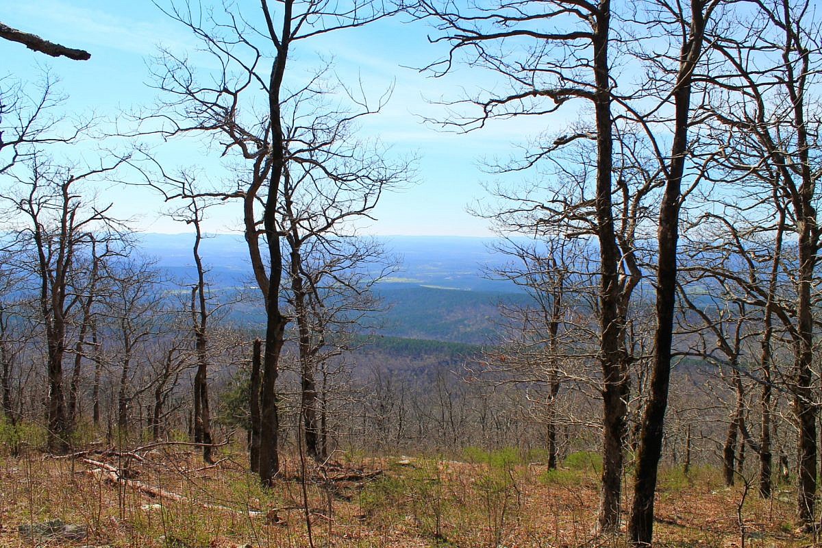
This is an enjoyable 3.8-mile east-west stretch of the Ouachita Trail in Polk County (near Mena) with Forest Road 514 (Polk County Road 100) on the west end and the Queen Wilhelmina State Park (QWSP) Lodge on the east end. It is easily accessible for an enjoyable 7 or 8 mile out-and-back day hike.
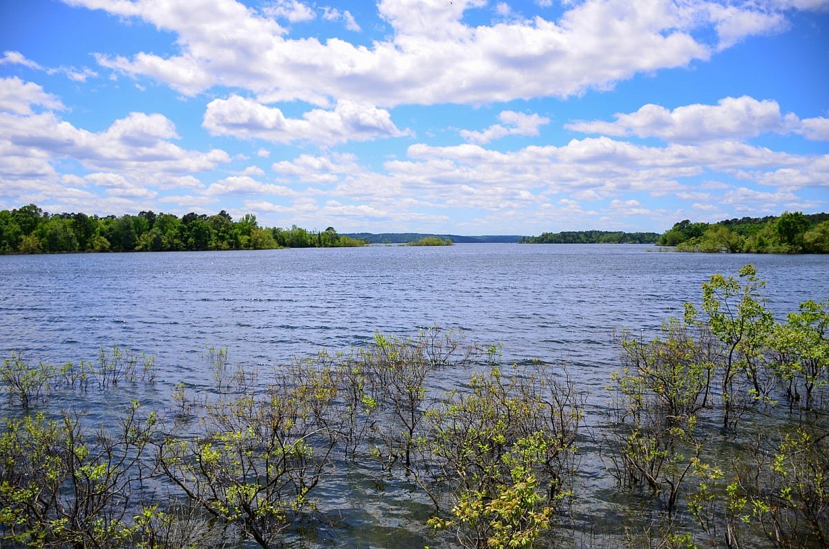
The Green Heron Trail at DeGray Lake Resort State Park (near Caddo Valley and Arkadelphia) is a scenic roughly mile-long lollipop loop. It begins behind the Visitor Center and is a nice wide, flat path that is great for viewing wildlife.
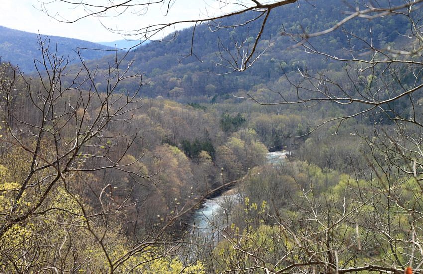
The 2.2-mile stretch of the Buffalo River Trail (BRT) from the Ponca low water bridge to Steel Creek Campground is a very scenic and enjoyable half-day hike. It is 4.4 miles as an out-and-back hike. This stretch features some nice overlook vistas with river views, seasonal waterfalls, and wonderful bluffs and rock formations.
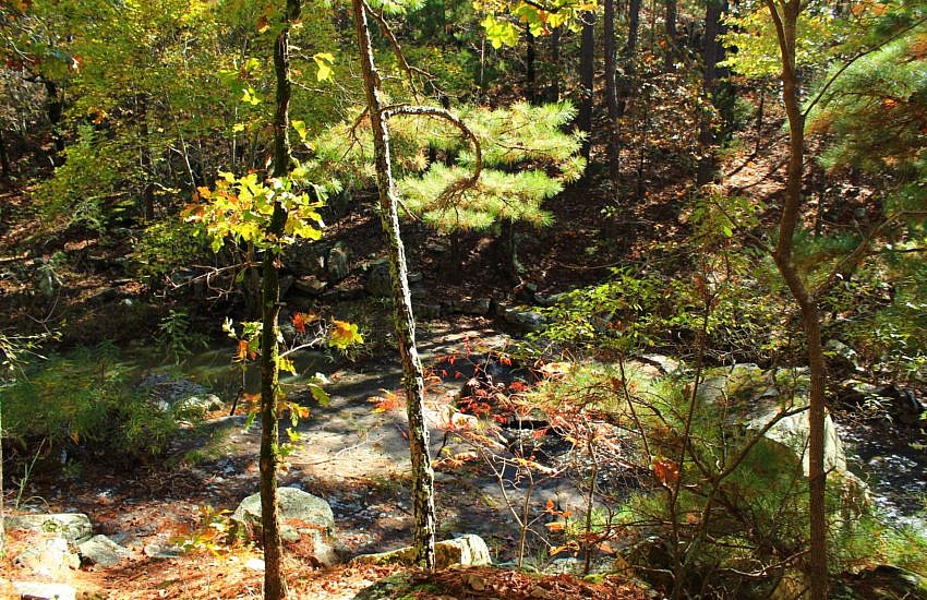
The Rough Canyon Trail at Robbers Cave Park (Latimer County, OK, near Wilburton) is a very enjoyable scenic 3-mile loop. A variation on this hike I enjoy is to take north part of the Cattail Pond Trail bypassing part of the Rough Canyon Trail and making a 3.9-mile loop.
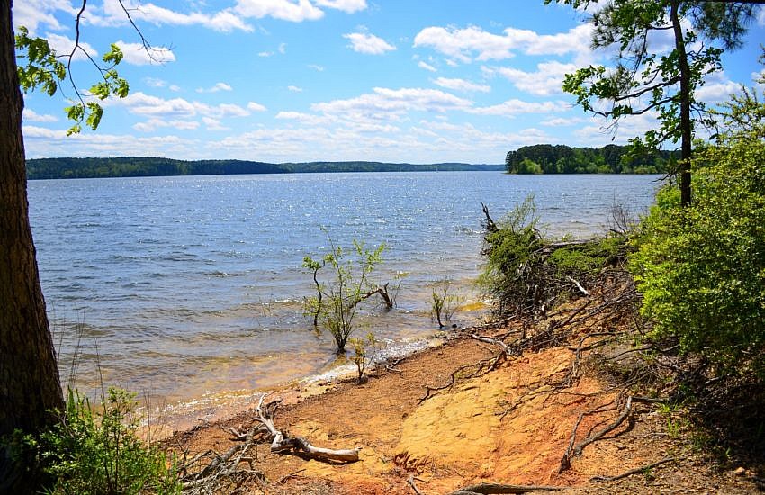
The Island Trail at DeGray Lake Resort State Park (near Caddo Valley and Arkadelphia) is a great 1-mile hiking trail. It is an easy and scenic walk with some great views of the lake and little elevation change.