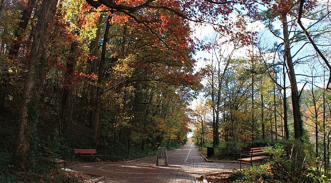
The Grand Promenade is an awesome half-mile brick walking path in Hot Springs National Park. Running north-south, it is parallel to (and behind) the historic Bathhouse Row.
Trail profiles with photos and info about Arkansas and East Oklahoma trails.
The Grand Promenade is an awesome half-mile brick walking path in Hot Springs National Park. Running north-south, it is parallel to (and behind) the historic Bathhouse Row.
The Lost Valley Trail is the most popular hiking trail in the Buffalo River area – and for good reason. It’s easy to get to, easy to hike, very family friendly, and has more “bang for your buck” than nearly any hike anywhere. This is the first trail I hiked in Arkansas, and it is […]
The Shaddox Hollow Trail at (Hobbs State Park-Conservation Area, eastern Benton County) is a scenic 1.3-mile loop trail. It features several cool bluffs and a pretty view of Beaver Lake.
The Ozark Plateau Trail (Hobbs State Park-Conservation Area in eastern Benton County) is a scenic wooded walk which should not be a real challenge for most people. The outer loop, the focus of this summary, is just .6 miles.
The Redding Loop/Spy Rock hike is a great day hike on the south end of Morgan Mountain with some wonderfully scenic areas. At about 8.2 miles and with a net elevation change of about 900 feet, it is also a challenging one. The hike starts at the Redding Campground (Redding Recreation Area) by the Mulberry River […]
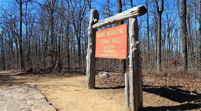
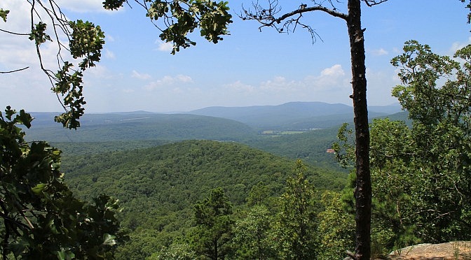
This is the trail that gets you to the highest point in Arkansas. And it’s not very difficult. The highest point in Arkansas, 2,753 feet above sea level, is at the top of Signal Hill on Mount Magazine. It’s in Mount Magazine State Park in the Ozark National Forest’s Magazine District, Logan County. The Signal Hill Trail […]