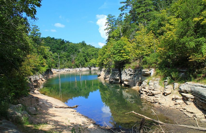
Redding Loop/Spy Rock Trail Pics (Ozark Forest)

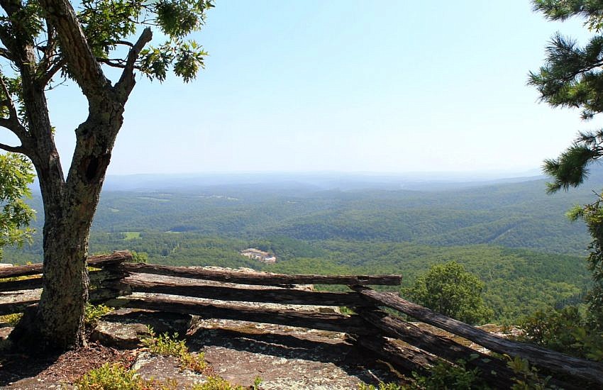
The hike from Redding Campground to Spy Rock (Ozark National Forest, northeast Franklin County) is a great day hike. It is vigorous one with a distance of 8.2 miles and a net elevation change of about 900 feet. But it’s quite scenic, featuring awesome views from Spy Rock, some nice views of Bowden Hollow from the […]
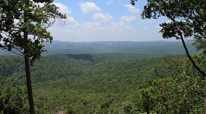
Cedar Lake Trail Fall Pics (Ouachita Forest)

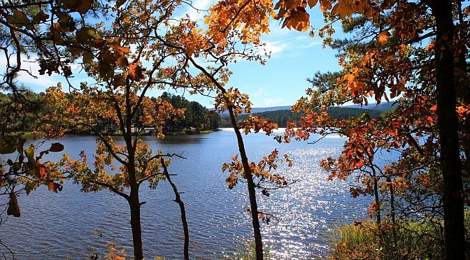
The Cedar Lake Trail in the Ouachita National Forest (LeFlore County, Oklahoma) is  an enjoyable and scenic 2.8-mile trail making a loop around the lake. There is a bit of climbing here and there, but it is pretty easy overall. My full summary of the trail with pics from my November 8, 2014 hike is […]

White Rock Mountain Rim Trail (Ozark Forest) Fall 2014 Pics

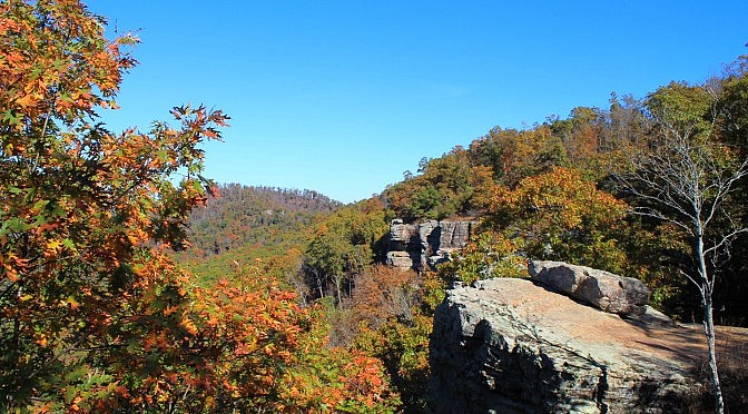
The Rim Trail on White Rock Mountain (2,200 feet elevation) in the Ozark National Forest (Franklin County) is one of my favorite short trails. It’s only 2 miles long, but this trail has amazing views from nearly the entire trail as it circles the mountain. Check out this post for my full trail summary with […]

Haw Creek Falls Winter Pics (Ozark Forest)

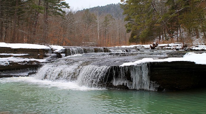
Back on February 28, after we had a nice little snowfall in western Arkansas, I headed over to Haw Creek Falls (Ozark National Forest, northeast Johnson County) to get some winter pictures. As you might expect, the waterfall was beautiful that morning with the freshly fallen snow and a number of icicles. The temps were in […]

Round Top Mountain Trail Pics

Round Top Mountain Trail, on the namesake Round Top Mountain, is a great trail just a few miles south of Jasper in Newton County. It has a number of scenic rocky areas, an amazing overlook vista at the North Bluff, and a historic B-52 crash site memorial. (Check out Brent’s full Round Top Mountain Trail summary.) The […]

Hobbs: Pigeon Roost Trail Pics

Toward the end of August last year, I did a hike on the Pigeon Roost Trail at Hobbs State Park-Conservation Area, the largest state park in Arkansas. Pigeon Roost is one of the most popular trails in the park. (Check out the trail summary with maps and elevation profile.) The trail consists of a west […]