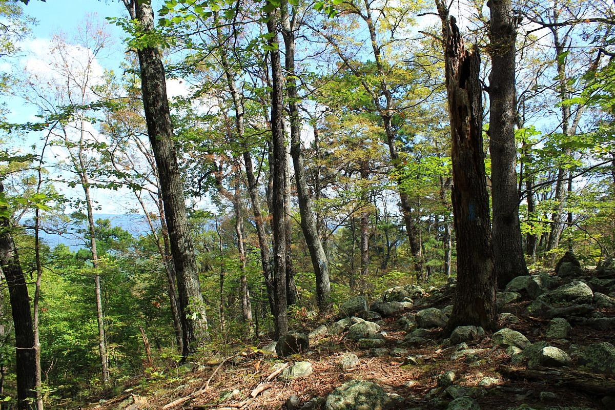
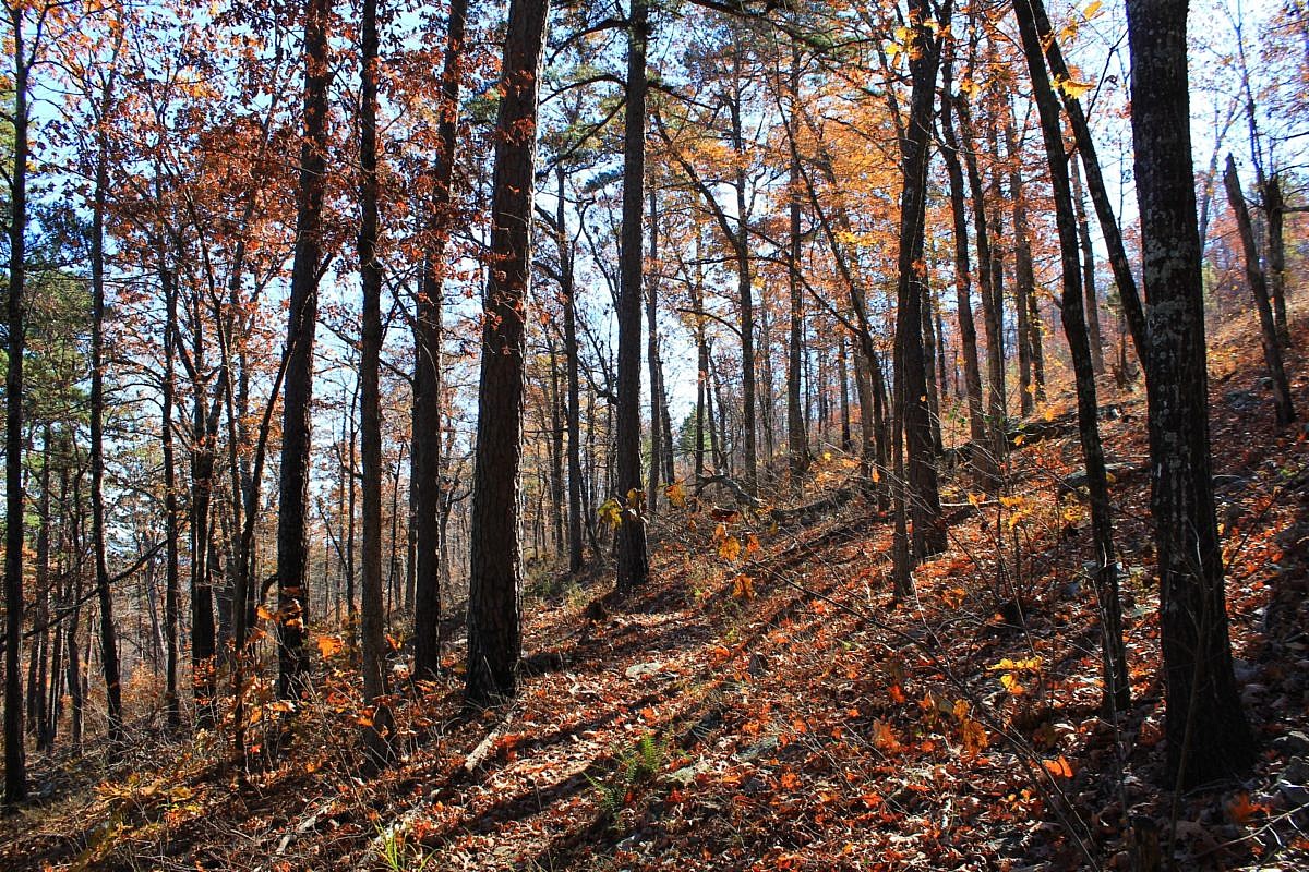
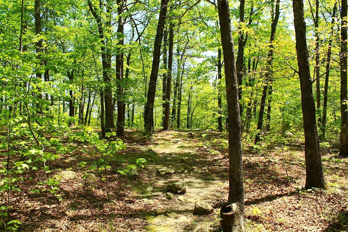
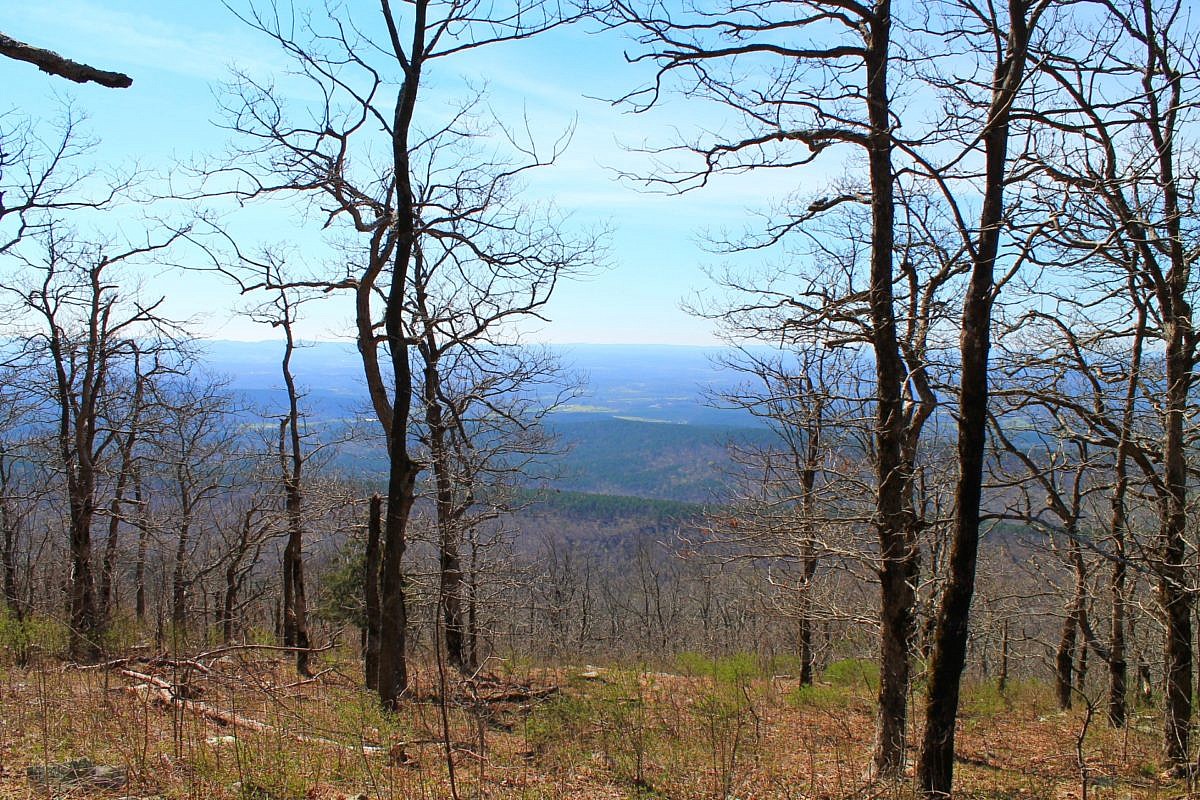
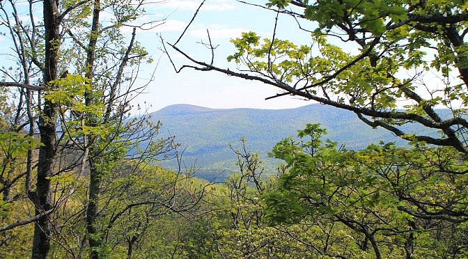
This stretch of the Ouachita Trail Section 1 on Winding Stair Mountain (LeFlore County, OK) goes from Horsethief Springs (19.9) to a stream that becomes Wildhorse Creek (13.4), about 5.5 miles to the west. As an 11-mile out-and-back day hike, it is challenging but doable (for many). Beautiful area with lots of rock formations!
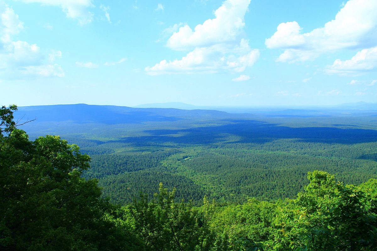
Tag: Ouachita Trail
The Ouachita Trail is a 223- mile trail running from Talimena, Oklahoma to Pulaski County, Arkansas. The vast majority of it is in the Ouachita National Forest.
For a list of trail segment profiles on this site, visit this link.
This is a scenic but challenging 5.5-mile Ouachita Trail Section 1 segment on Winding Stair Mountain (LeFlore County, near Heavener) starting at Deadman’s Gap (about Mile 8, near Deadman Vista overlook) and heading east to a branch that becomes Wildhorse Creek (about Mile 13.4).
This is a cool 2.1-mile segment of the Ouachita Trail Section 4 that is pretty accessible, not difficult climbing, and a good length for a day hike (4.2 miles as out-and-back). It is in both Scott and Montgomery Counties, a little bit east of Y City.
This 3.8-mile stretch on Section 2 of the Ouachita Trail from Big Cedar Trailhead (on Highway 259, LeFlore County, OK, Ouachita National Forest) to the Pashubbe Trailhead is an accessible and moderately challenging hike. It makes about an 8-mile out-and-back day hike with a couple of seasonal stream crossings and a few ponds.
This is an enjoyable 3.8-mile east-west stretch of the Ouachita Trail in Polk County (near Mena) with Forest Road 514 (Polk County Road 100) on the west end and the Queen Wilhelmina State Park (QWSP) Lodge on the east end. It is easily accessible for an enjoyable 7 or 8 mile out-and-back day hike.
Back in the spring of 2016, I did a 10 mile hike on Section 3 (Polk County) of the Ouachita Trail starting at the Foran Gap Trailhead then going west on western Fourche Mountain to MM 63 and back. My full profile of that stretch of the Ouachita Trail is here. These are some additional […]