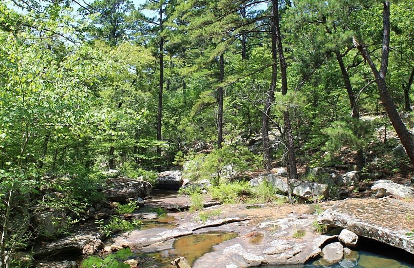
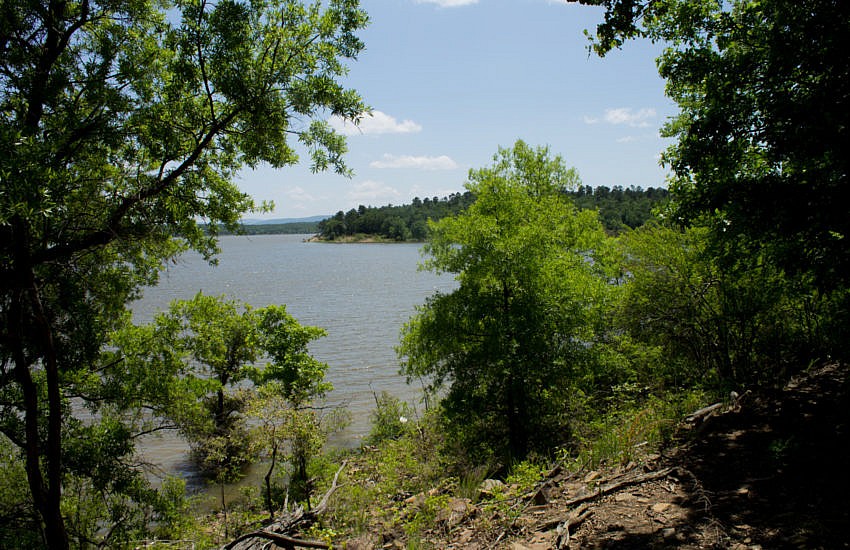
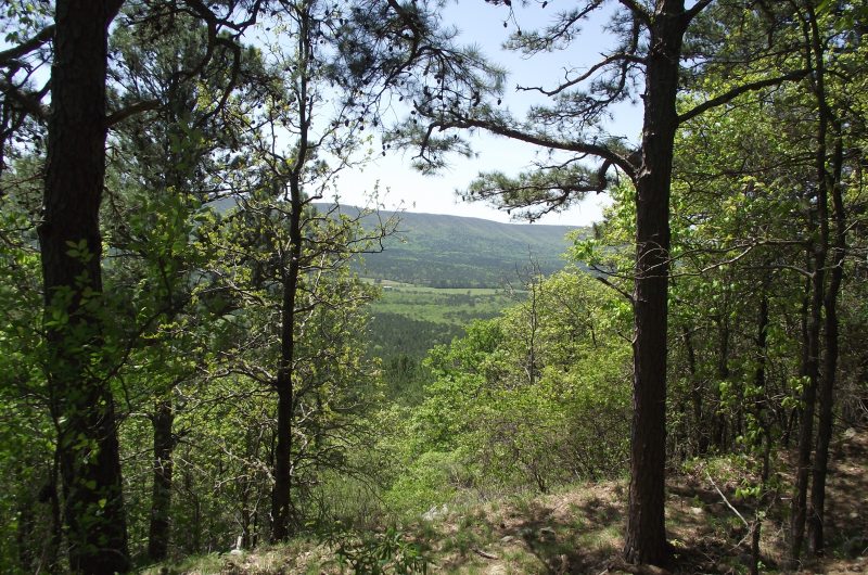
[Note: Major work has been done recently at the Cedar Lake Recreation Area. Check with the Forest Service for info about trail conditions. Check here for updates.] The Cedar Lake Trail at the Cedar Lake Recreation Area in the Ouachita National Forest (LeFlore County, Oklahoma) is a pretty easy 2.8-mile loop with lots of great views of […]
Tag: Counties: LeFlore+Latimer(OK)
Back on July 13, I hiked the Rough Canyon Trail at Robbers Cave State Park. It was probably my 4th or 5th time to walk the trail. This 2.9-mile loop trail in the San Bois Mountains is a nice hike. (The trail map and elevation profile is in this post.) It is nearly all wooded, […]
A few weeks ago, I got to walk the Lake Wister Hiking Trail at Lake Wister State Park, near Poteau, Oklahoma. The 3-mile trail runs on the north side of the lake, parallel to (and south of) County Road 138. It goes from a paved walking path at the Wards Landing area to the east end […]
Cavanal Hill is in Poteau, in Southeast Oklahoma. It is promoted as the “tallest hill in the world.” The U.S. Geological Survey refers to it as “Cavanal Mountain” and notes that its elevation is 2,385 feet. If you ever visit Poteau, you can’t miss Cavanal Hill. It is by far the most prominent natural feature […]
There are two Billy Creek Trail loops. (The Billy Creek Trail is on Winding Stair Mountain, LeFlore County, Oklahoma, in the Ouachita National Forest.) My post on the south loop is here. The south loop is a 7.3-mile hike with 600 feet in elevation change. It starts with a spur near the Billy Creek Campground. […]
My hike yesterday on the Wilton Mountain part of the Ouachita Trail (LeFlore County, Oklahoma) was pretty exciting for me. It was the longest hike I have done (9.6 miles, out and back), and it had the most ascent (combined total of 2100 feet) I have hiked in one day. I thought it was a […]