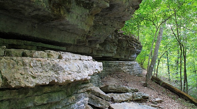
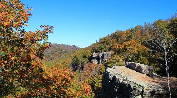
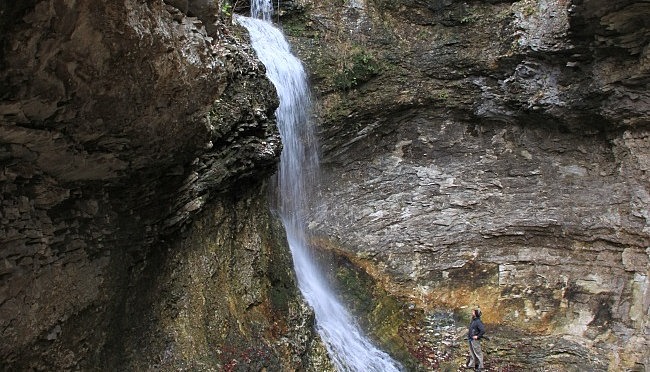
Lost Valley Trail + Eden Falls (Buffalo River) – 2 mi (o&b)

The Lost Valley Trail is the most popular hiking trail in the Buffalo River area – and for good reason. It’s easy to get to, easy to hike, very family friendly, and has more “bang for your buck” than nearly any hike anywhere. This is the first trail I hiked in Arkansas, and it is […]
Hobbs: Shaddox Hollow Trail – 1 mi

The Shaddox Hollow Trail at (Hobbs State Park-Conservation Area, eastern Benton County) is a scenic 1.3-mile loop trail. It features several cool bluffs and a pretty view of Beaver Lake.

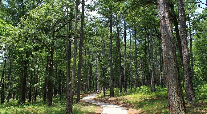
Hobbs: Ozark Plateau Trail – .5 mi

The Ozark Plateau Trail (Hobbs State Park-Conservation Area in eastern Benton County) is a scenic wooded walk which should not be a real challenge for most people. The outer loop, the focus of this summary, is just .6 miles.

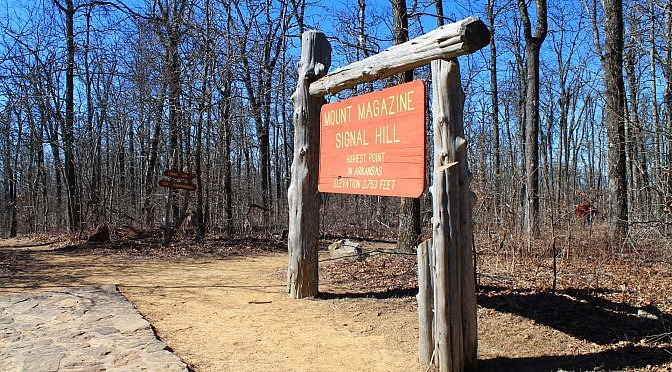
Mount Magazine: Signal Hill (Highpoint) Trail – 1 mi

This is the trail that gets you to the highest point in Arkansas. And it’s not very difficult. The highest point in Arkansas, 2,753 feet above sea level, is at the top of Signal Hill on Mount Magazine. It’s in Mount Magazine State Park in the Ozark National Forest’s Magazine District, Logan County. The Signal Hill Trail […]

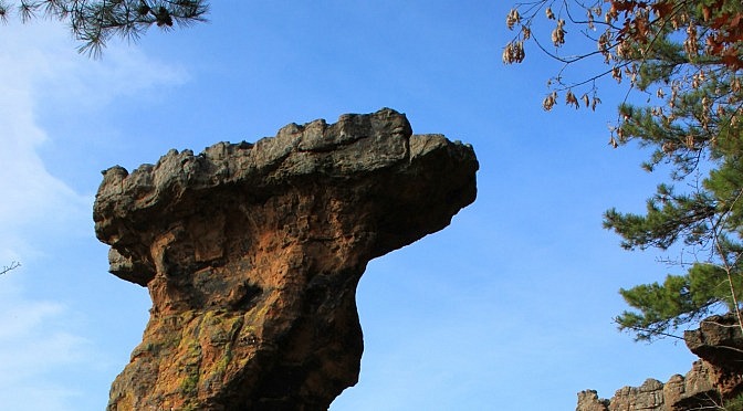
Pedestal Rocks Loop Trail (Ozark Forest) – 2 mi

The Pedestal Rocks Scenic Area in the Ozark National Forest (north Pope County) is a spectacular recreation area with two unique loop hikes.  These hikes can be done separately for short afternoon trips, or together for a longer day hike. One of these is the Pedestal Rocks Loop Trail, a 2.4 mile semi-loop hike, which […]

White Rock Mountain Rim Trail (Ozark Forest) Fall 2014 Pics

The Rim Trail on White Rock Mountain (2,200 feet elevation) in the Ozark National Forest (Franklin County) is one of my favorite short trails. It’s only 2 miles long, but this trail has amazing views from nearly the entire trail as it circles the mountain. Check out this post for my full trail summary with […]