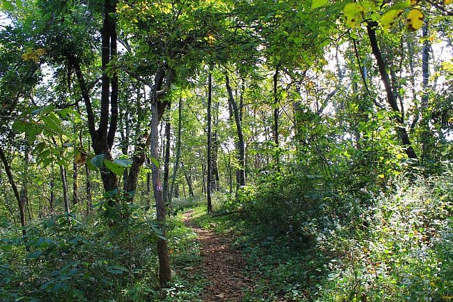
The Spring Trail at Queen Wilhelmina State Park on Rich Mountain (Polk County, near Mena) is a short but enjoyable wooded walk.
It’s about .4 miles each way and about .8 miles as an out-and-back walk.
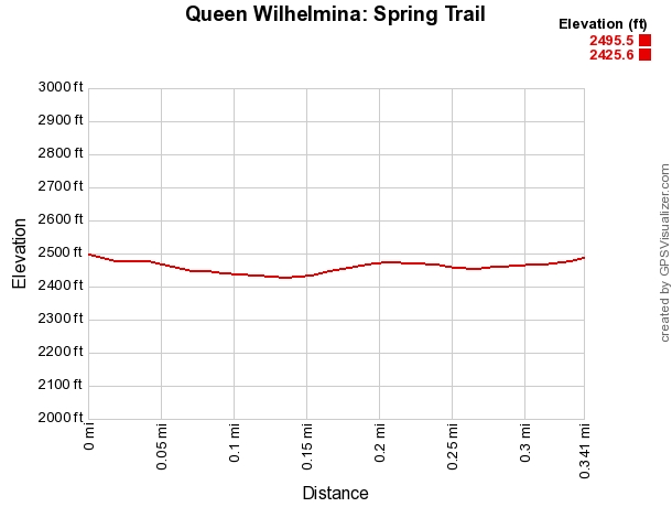
This is an easy walk with little elevation change. It’s a great trail for beginners or anyone just wanting a nature walk.
Getting to Spring Trailhead at Queen Wilhelmina
To get to Queen Wilhelmina State Park coming from the north on Highway 71, at Acorn, take a right (heading east) on Highway 59/270. After 9 miles, take a left onto Highway 272. (Follow the signs to Queen Wilhelmina State Park.) This takes you up Rich Mountain to Highway 88 (Talimena Scenic Drive).
Take a right on Highway 88. After about a half-mile, you will be at the park.
If you are coming from the south on Highway 71, turn left onto Highway 88 in Mena. Stay on 88 for about 12 miles.
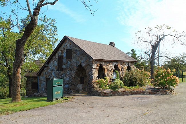
The easiest parking for the Spring Trail is at The Wonder House, on the other side (the north side) of the highway from the park’s main entrance,
The Wonder House is a historic 9-level vacation home built in the 1930s. This is also where the park amphitheater is.
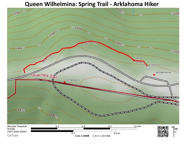
The trailhead is between the house and the amphitheater.
The Trail
The Spring Trail heads west (northwest, then southwest), running parallel to Highway 88 (Talimena Scenic Drive).
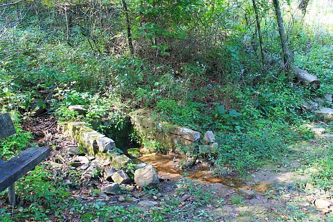
After about 200 feet, you will come upon Crystal Spring on the left. It served as a gathering place for early settlers.
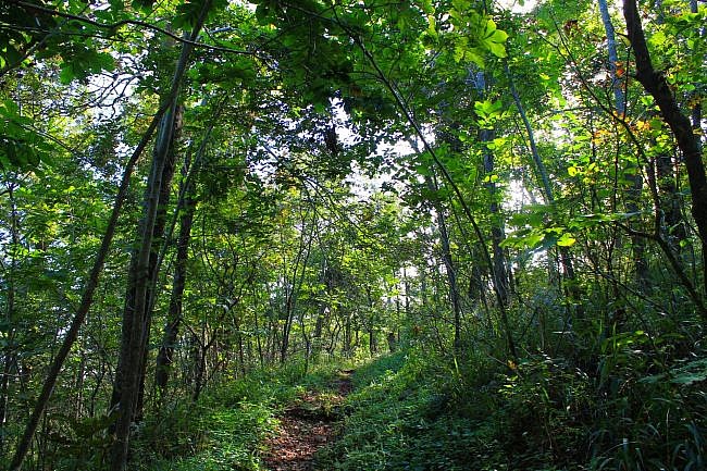
The trail continues west making a slight downhill slope. At about .2, the trail curves slightly along with the ridge and heads more in a southwesterly direction.
In August of this year, I noticed that there was a slight reroute in the latter part of the trail making it slightly hillier. It appeared that the stream crossing with footbridge had probably been damaged from flooding necessitating the reroute.
The trail ends directly across the highway from the west end of the park campground.
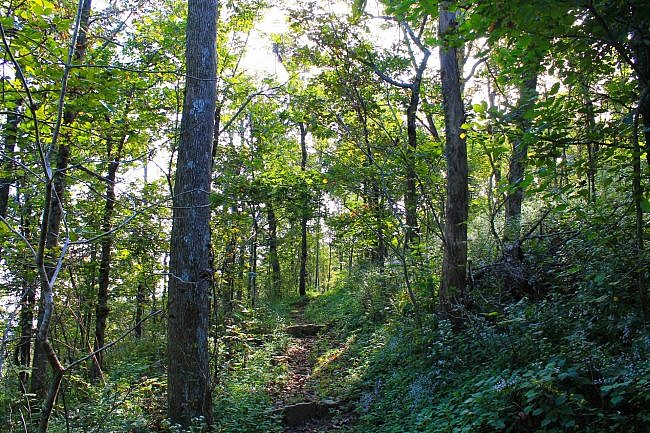
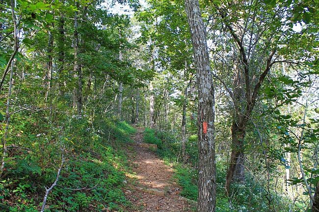
There are only limited views to the north between the trees during leaf-on, but you can enjoy the beautiful, lush greenery then. During leaf-off, expect much better views.
Final Notes
When I last visited the trail, I had AT&T cell signal most of the way. Usually, the trail is in good condition and easy to follow with orange blazes.
While at Queen Wilhelmina, you may want to check out the Lovers Leap Trail or the Reservoir Trail.
These photos are from my September 27, 2014 visit to the trail.
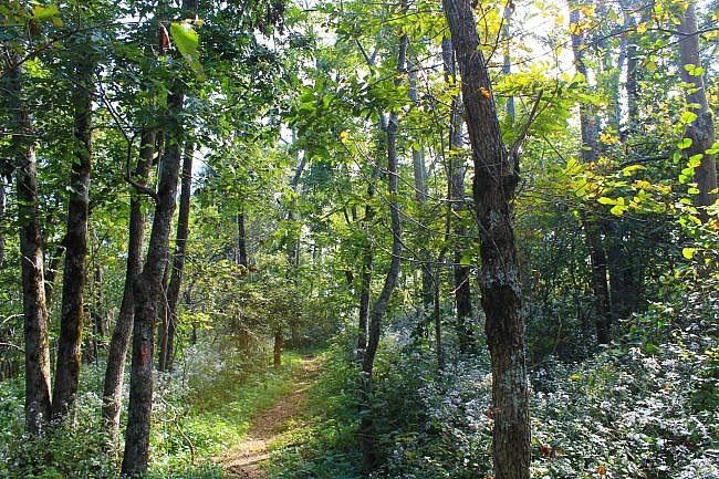
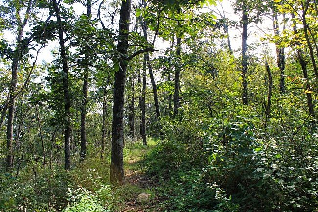
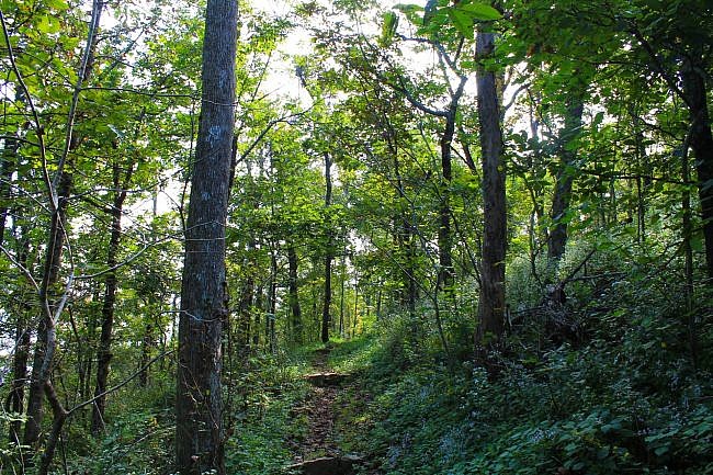
Photo Gallery
Click below for full-screen photo gallery.
Map
Queen Wilhelmina: Spring Trail
Location Queen Wilhelmina State Park, Polk County, Arkansas
Length/Type Out and back; .3 miles each way (.6 miles total).
Difficulty Easy (1 of 5).
Other permitted usage. Pets on a leash.
Gpx file (by Mike) Link
Date Hiked September 27, 2014 and August 2018.
Directions Google Maps Directions to Spring Trailhead at Queen Wilhelmina
Official Info (479) 394-2863 Website Official Trails Brochure (pdf)
Last revised: 8-15-2021.


