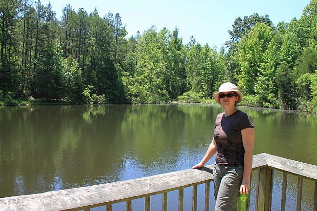
The Ponds Loop is an easy and scenic short loop trail, about .4 miles, in the Buffalo National River’s upper district (in Newton County).
It is right off Erbie Campground Road (County Road 79), next to the Cedar Glade Picnic Area.
Getting to the Ponds Loop Trailhead
To get to the Cedar Glad Picnic Area, take Erbie Campground Road off of Highway 7, about halfway between Jasper and Pruitt. (Watch for the “Erbie Area–Buffalo National River” sign.)
This is a gravel road that goes into the southern part of the Erbie area. (Erbie is a small, former community north of the river, and a campground and old homestead south of the river. Because the road across the river at a low-river ford, it cannot always be crossed in high water. So it is best to come from Highway 7.)
It’s a pretty good road for gravel, so you won’t need four-wheel drive to get there.
The trail (white blazes) starts just across the road from the picnic area–about two miles down the gravel road from Highway 7. There is parking the picnic area.
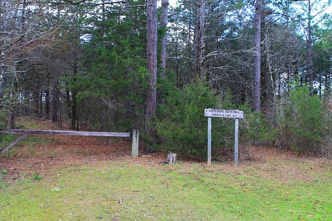
The trailhead sign is just across the road.
Walking the Ponds Loop
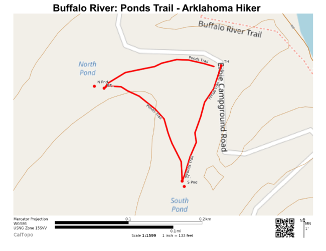
The part of the loop heading to the North Pond is just to the right of the trailhead sign. (Just to the left of the sign is a dirt service road. That is not the trail.)
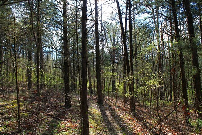
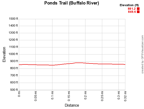
The route to the South Pond is flat, wide, and ADA accessible. A short trek through the woods gets you to the North Pond. Then it’s another short walk back to the parking area.
The Ponds Trail can also be added to a Buffalo River Trail hike in the Erbie-to-Ozark stretch.
This is an easy and scenic trail that should be great for walkers of any age.
Final Notes
I rate the trail difficulty as easy (1 of 5). For footwear, any walking shoes should work.
You can read more about this trail in Tim Ernst’s “Buffalo River Hiking Trails.”
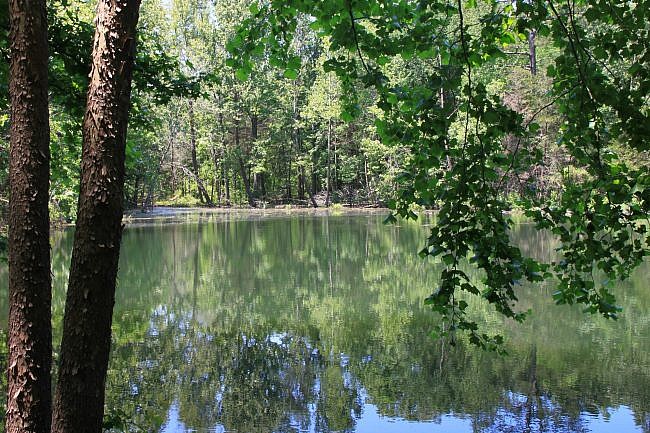
I took the top two photos on May 29, 2011. Mike Newman took the others on April 3, 2017.
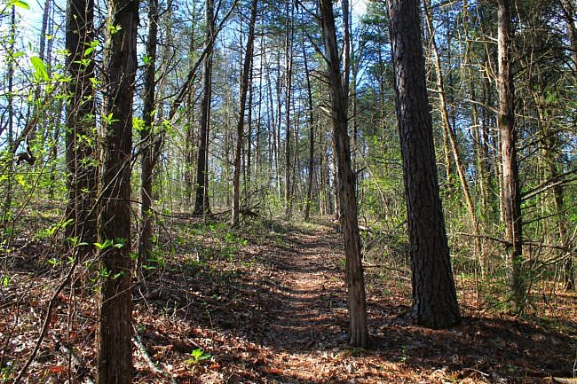
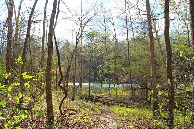
Photo Gallery
Map
Ponds Loop (Buffalo River)
Location Buffalo National River near Erbie, Newton County, Arkansas
Length/Type .3 mile loop.
Difficulty Easy (1 of 5)
Gpx file by Mike Link
Date Hiked May 29, 2011
Directions. Google Maps Directions to Trailhead
Official Info (870) 439-2502 (Tyler Bend Visitor Center Information) Website
[A version of this post was originally published in the blog “Exploring Northwest Arkansas.”]
Last revised: 8-15-2021.


