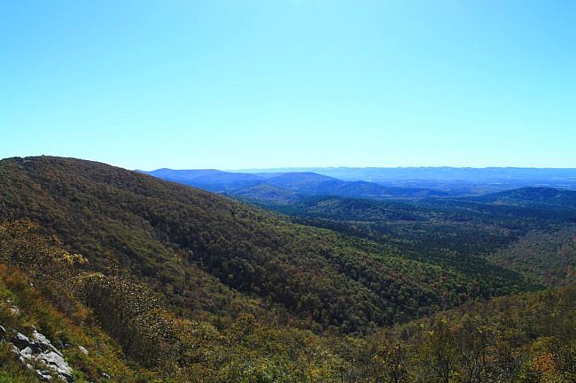
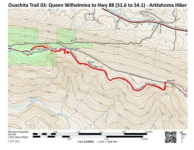
This is a 2.5-mile stretch of the Ouachita Trail that goes from Queen Wilhelmina State Park heading east to Highway 88 (Talimena Scenic Highway). It is the first part of Section 3 (following Tim Ernst), and is all on Rich Mountain in Polk County, near Mena.
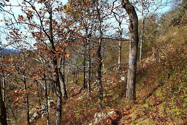
It is a pretty enjoyable stretch mostly running along hillside with some nice south-facing views, cool rocky areas, and interesting terrain. But be prepared for the possibility of overgrowth on the trail, once you get out of the state park area.
This is a very accessible segment because you can start right at the state park lodge and then head east. After about 2.5 miles you will be at the Highway 88 crossing. At this point, you can continue on the trail, turn and hike the trail back to your start, or make a loop by walking Highway 88 back to the state park lodge.
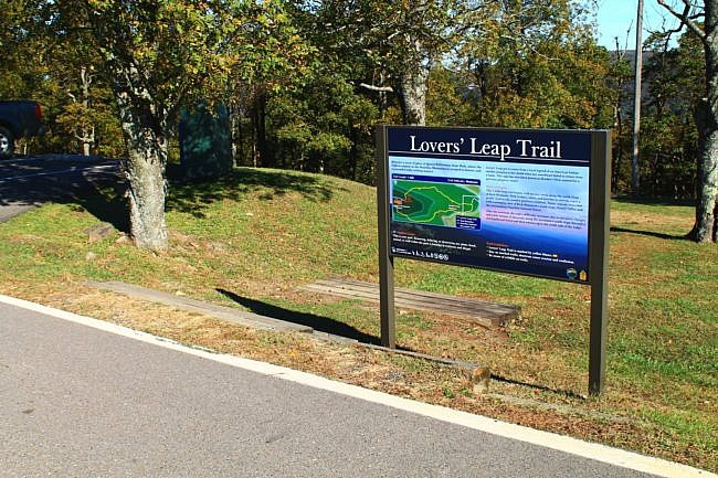
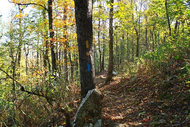
Getting to Lovers Leap Trailhead at QWSP
To get to Queen Wilhelmina State Park coming from the north on Highway 71, at Acorn take a right (heading east) on Highway 59/270. After 9 miles, take a left onto Highway 272. Follow the signs to Queen Wilhelmina State Park.
This takes you up Rich Mountain to Highway 88 (the Talimena Scenic Drive).
Take a right on Highway 88. After a half-mile, you will be at the park.
If you are coming from the south on Highway 71, turn left onto Highway 88 in Mena. Then stay on 88 for about 12 miles.
Park at the lodge. This segment starts on the north side of the lodge at the Lovers Leap Trailhead.
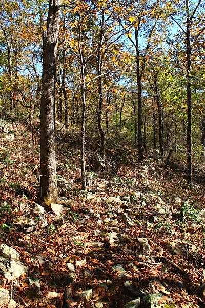
The Hike – 1st Mile (51.6 to 52.6)
The first part of this segment starts at the park’s Lovers Leap Trailhead on the north side of the lodge. There is parking and the trail is well marked.
The vast majority of the Ouachita Trail is maintained by volunteers with Friends of the Ouachita Trail (FoOT). The condition of the trail (particularly the amount of overgrowth) will usually depend on how long it has been since anyone has been able to work on that part and how quickly vegetation grows back. Unfortunately, some of the parts of the trail on Rich Mountain are some of the areas where plant life grows back the quickest.
But you probably won’t have to worry about that for the first .4 miles. This part overlaps with the state park’s Lovers Leap Trail (a 1-mile loop trail). The state park usually does a good job with keeping the trails maintained. But on the rest of this segment, be prepared (depending on time of year and how recently it has been maintained) for overgrowth.
The first quarter mile of the trail heads downhill eastward . Then the trail levels out for the next .2 miles leading up to the overlook.
The Lovers Leap Overlook is definitely the visual highlight of this hike. There is a wooden platform making it easy to get a great view of this south-facing expanse. It is a very beautiful spot.
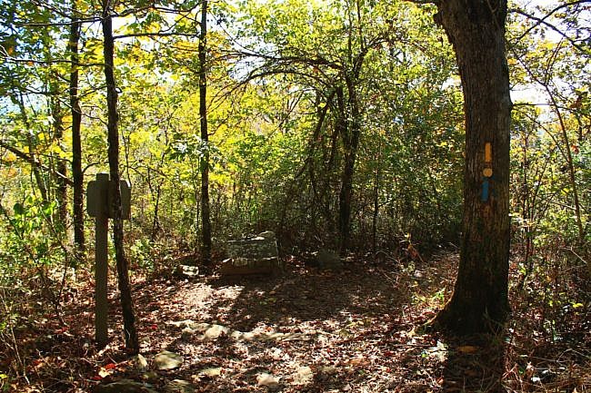
After the overlook, the trail mostly heads downhill until you get to the (marked) junction where the Ouachita Trail splits off. Take a left (north) to stay on the Ouachita Trail. Ouachita Trail has blue blazes. Yellow blazes mark the Lovers Leap Trail.
As far as the elevation, the starting elevation on this hike was about 2,550 feet. At this split, the elevation is about 200 feet lower than that.
Over the next .6 miles, the trail makes some curves and switchbacks in a fairly steep downhill area for another 150-foot descent until reaching the elevation low point of this segment at about 2,173 feet.
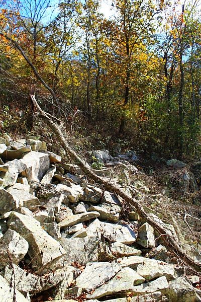
There are a few large areas of rocks and a boulder field which are really cool in this area.
Even during leaf-on, you can see limited views through the trees quite a bit, but there also are a few more wide open vistas. Of course, during leaf-off, the vista views are more plentiful.
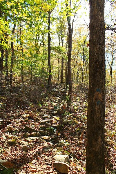
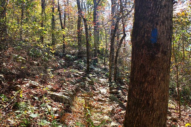
The Next 1.5 Miles (52.6 to 54.1)
The next .3 miles is a real uphill climb with an elevation change of about 250 feet. Then most of the next .7 miles is a more gradual climb until reaching around 2,550 in elevation.
For the next .3 miles, the trail heads downhill about 200 feet in elevation before making a left (north) turn heading uphill toward the Highway 88 crossing.
When I did this segment a few years ago, I had a little trouble following the trail in parts in this area.
As the trail goes uphill toward the highway, there are some very nice views to the south, even during leaf-on. Before you hit the highway in this part, you should come by Mile Marker 54.
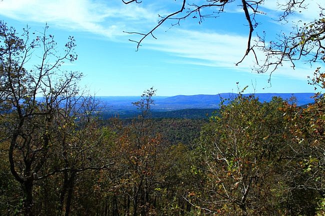
Final Notes
Most of this hike is hillside, but I think that makes it an interesting and pretty trail. The only real negatives on this part that I recall are dealing with some overgrowth and an area close to the highway turn that was a little hard to follow where the trail went.
Rich Mountain is the second tallest mountain in Arkansas.
I would estimate I had AT&T cell signal 70% of the time.
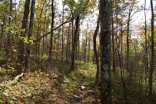
I have done this segment twice in the past 5 years–once in 2015 and then in October 23, 2017. These photos are from that hike.
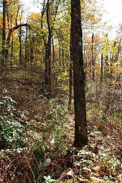
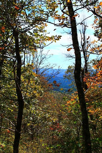
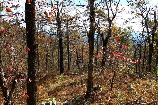
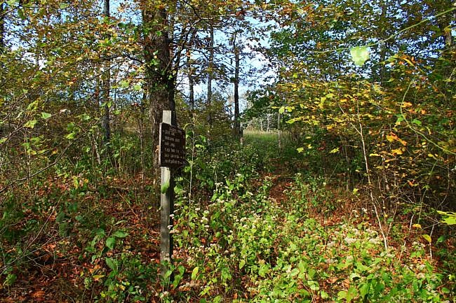
Photo Gallery
Click below for full-screen photo gallery of these and more pics from my October 23, 2017 hike.
Maps

Ouachita Trail 03: Queen Wilhelmina to Hwy 88 (51.6 to 54.1) |
|
|---|---|
| Location | Polk County, Arkansas |
| Hike Length/Type | 2.5 miles each way/5 miles out and back. Blue blazes. |
| Difficulty | Moderate (3 of 5). |
| Other Permitted Usage | Mountain bikes. |
| Gpx file by Mike | Link |
| Date Hiked | October 23, 2017 (and other dates). |
| Directions | Google Maps Directions to Queen Wilhelmina Lovers Leap Trailhead |
| Official Info | (479) 394-2382 (Mena/Oden Ranger Dist.) USFS Website FoOT Website |


