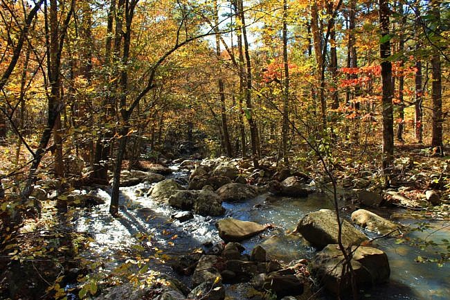
The Billy Creek area is one of the many beautiful natural areas on Winding Stair Mountain in the Ouachita National Forest (LeFlore County, Oklahoma).
I consider the trail to have a north loop and a south loop with the center spur forming part of each loop.
The Billy Creek Trail south loop is a beautiful but strenuous hike. Depending on water levels, be prepared for multiple wet crossings. Also most of the trail is open to ATV’s and horses so you may have to deal some with horse deposits and/or some ATV noise.
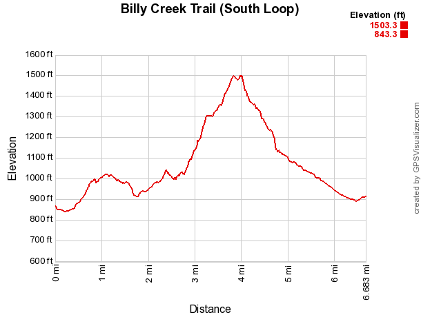
The south loop hike is a semi-loop with a .6-mile initial spur. The total distance of the hike once you arrive back at the Trailhead is about 7.3 miles with an elevation change of about 650 feet.
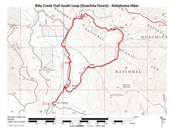
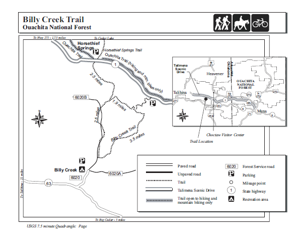
The loop is largely triangular. (See map below.) According to signage at the trail, the west side is the West Billy Creek Trail. The north and east sides make up the East Billy Creek Trail.
Incidentally, the north loop is made up of the north part of the East Billy Creek Trail, a segment of the Ouachita Trail (to the north) that runs parallel to it, and 2 connecting spurs.
Getting to Billy Creek Trailhead
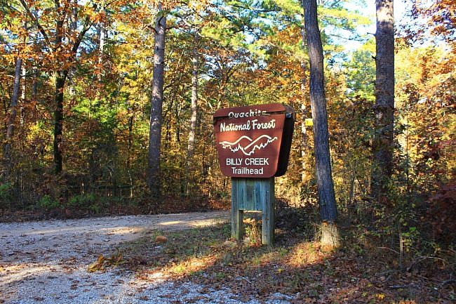
To do the south loop, start at the official Billy Creek Trailhead in the Billy Creek Recreation Area.
To get there, get on Forest Road 6020 off of Highway 63, about 6 miles west of the Highway 259/Highway 63 intersection at Big Cedar. Take 6020 north for about a mile, follow the signs, and you will come upon a large sign for the Billy Creek Trailhead.
The Trailhead has a good-sized parking area, but no trail information. From here (and on the rest of the trail), follow the white rectangular blazes. (Yellow blazes are for horses. Orange are for ATV’s.)
The Hike
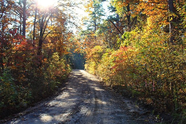
The first part of the trail is the .6-mile spur walking north on FR 6020B. (This also will be the end of the hike.) Quite a bit of this hike is on roads or road traces.
It appears that the reason for this forest-road segment being the first part of the trail is to accommodate equestrians who can park their vehicles with horse trailers at the large trailhead parking area.
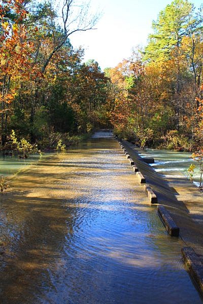
When I did this hike back in November 2019, I had a number of wet crossings. The first was on a slightly overflowing low water bridge (pictured above) on this part of the trail.
As the blazes indicate, take a right at K27. Then you are at the Billy Creek Trail loop. On K27, about 200 feet in on the left is the turn you need to make to take the loop clockwise. On my last hike in November, I took the loop counterclockwise so I continued going straight. (The elevation profile below was made from an earlier hike of the south loop which I did clockwise.)
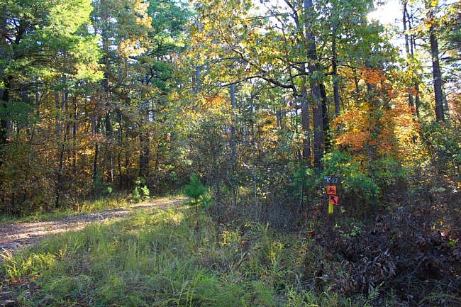
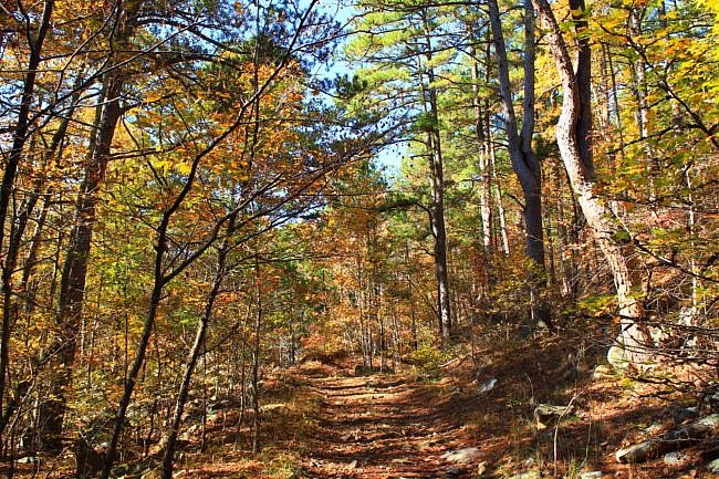
At K27, it’s about a mile walk on a fairly flat dirt road. It is a scenic walk. If you are doing the trail during a fairly wet time, you will notice that much of this part of the trail goes very close to the creek which has a beautiful sound. You may be able to see the creek through the trees. (I am assuming that all the “creeks” in this area are Billy Creek or branches of it.)
The next mile is still part of K27, but it is a little more trail-like with ups and downs and a number of creek crossings. When the water is flowing, the creek is very beautiful.
At about 2.6 miles is a large creek crossing followed by a fairly steep uphill climb.
By the way, up to this point, you have already had an elevation increase of about 230 feet from the start. But this is where the steep climbing starts. The next .6 miles has an elevation increase of about 370 feet.
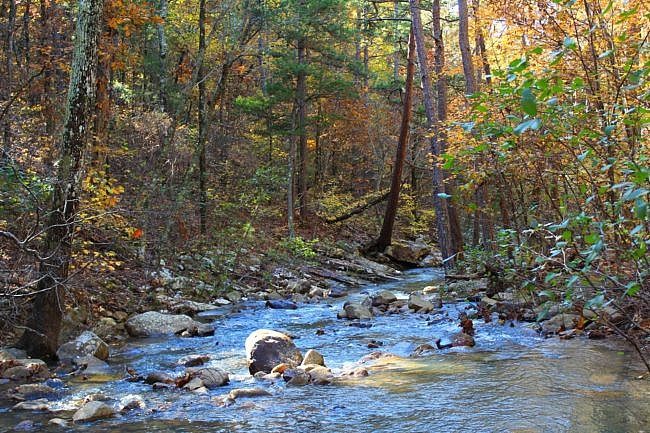
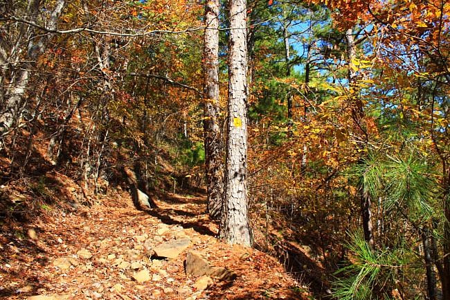
The next stretch is probably my favorite on the whole loop. The uphill terrain is interesting, and there are beautiful views of the creek and valley below. As you get higher, other mountains are viewable in the distance.
Then at around 3.5 miles, you make a left turn (west) to continue the loop (and continue the East Billy Creek Trail). If you turn right (north), then you are on the spur that heads up to the Ouachita Trail. (That puts you on the north loop.)
On the next .1 miles, you continue heading westward and climbing uphill up to the trail’s high point at around 1,500 feet elevation.
After another quarter-mile, the trail starts heading back downhill and continuing westward. In this area, there are some really pretty views off to the south (on your left) through the trees.
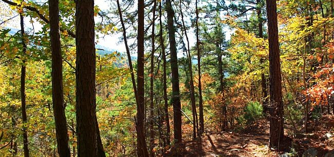
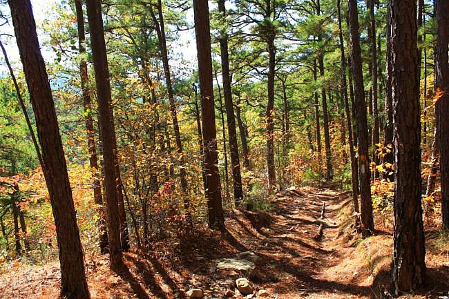
At about .8 miles further, you get to an area with very pretty views of Billy Creek valley down below. The trail descends down into this scenic area right along Billy Creek.
In this vicinity is the junction for West Billy Creek Trail. There should be a direction sign here. Turn left to continue the loop and head south on West Billy Creek Trail back toward the initial spur at K27. (You would turn right and head uphill if you are doing the north loop.)
The next half-mile is mostly a road trace that heads south back to Forest Road 6020B. This is the same forest road the initial spur was on, but we are not at that point yet.
For about the next 1.6 miles, continuing downhill (south) the trail alternates between walking on the forest road and making a path running parallel to the road. (Most of this part is not actually on 6020B, fortunately.) Just follow the white blazes.
Some of these parallel stretches are the only parts of the south loop that are not open to ATV’s.
Once you reach K27 again, you have completed the loop. Just make a right turn here, and shortly you are back at Forest Road 6020B where you will hang left to finish by doing the again the .6-mile initial spur.
Final Notes
Overall, I had little trouble following the trail.
I would estimate that I had AT&T cell signal about 25% of the time. As usual, cell signal tends to be better in the higher elevation areas.
Even though I made numerous wet crossings on my hike this day, the ample water flow really enhanced the beauty on most of this hike. A number of the creek crossings had many beautiful cascades. And in a number of areas where the creek was not visible, it was close enough to be heard which was very pleasant.
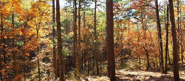
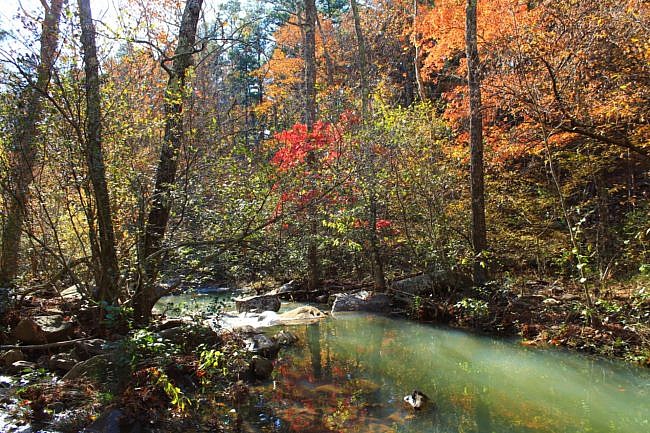
Quite a few of the creek crossings were more difficult to make than they would be if the trail were not also open to ATV’s. Maybe someday the hiker and ATV trails can be split at stream crossings to make it easier for hikers to cross streams.
A note of caution. Fording a stream can be dangerous. Don’t cross a stream where it is more than waist deep or if you can’t see the bottom.
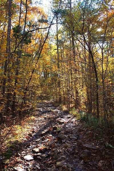
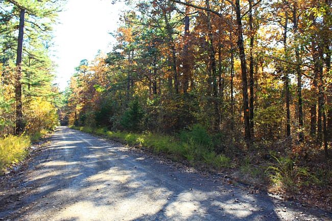
I love hiking on Winding Stair Mountain!
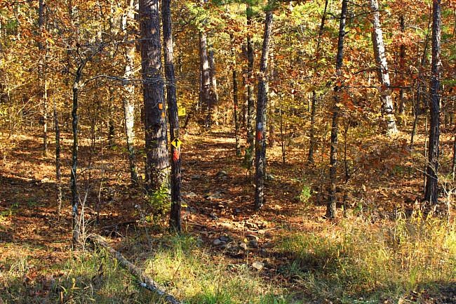
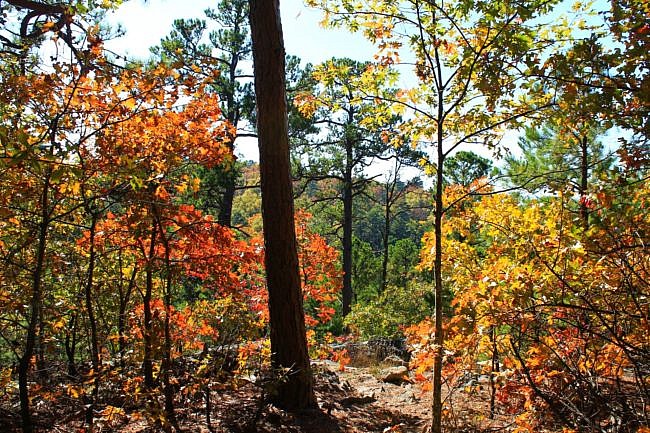
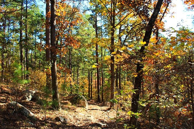
These photos are all from my hike on November 9, 2019.
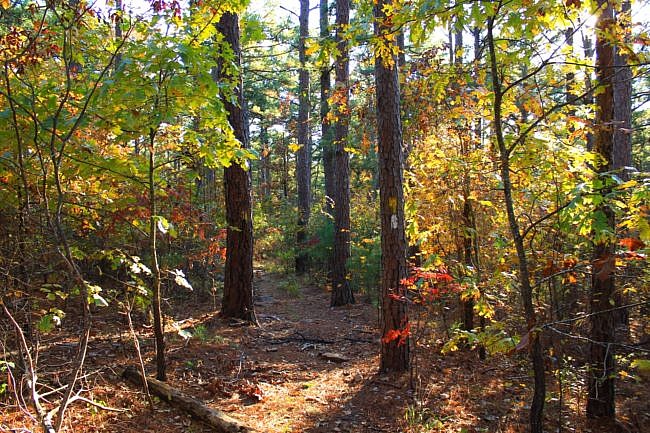
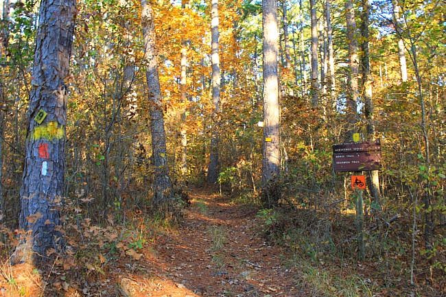
Photo Gallery
Click below for full-screen photo gallery of these and more pics from my November 2019 hike.
Map
Billy Creek Trail - South Loop (Ouachita Forest) |
|
|---|---|
| Location | Billy Creek Recreation Area, LeFlore County, Oklahoma |
| Hike Length/Type | 7.3 miles/semi-loop. White blazes. (Yellow blazes are for horses. Orange for ATV's.) |
| Difficulty | Strenuous (4 of 5), |
| Other Permitted Usage | Horses, ATV's on most of it. |
| Gpx file by Mike | Link |
| Date Hiked | 11-09-2019. |
| Directions | Google Maps Directions to Billy Creek Trailhead (Parking) |
| Official Info | (479) 394-2382 (Mena/Oden Ranger Dist.)USFS Website USFS Trail Map (pdf) |


