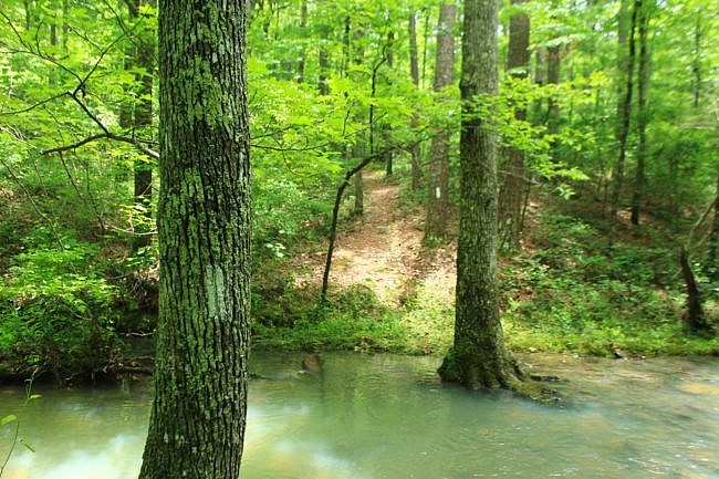
This is a scenic 6.5-mile loop which begins at the Big Brushy Recreation Area (Montgomery County), about 30 miles east of Mena, Arkansas.
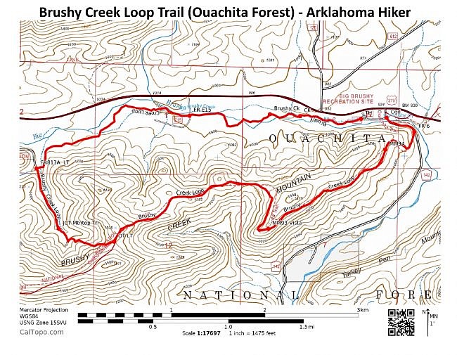
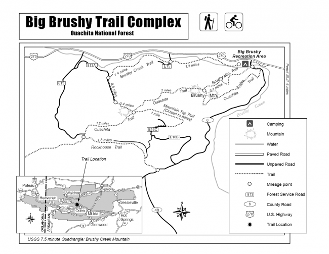
The trail begins at the back of the recreation area and makes a counterclockwise loop. The last 3.1 miles of the loop are on Section 4 of the Ouachita Trail.
There are 3 main parts to the hike. This first is the 2.5 mile hike on the low part of the Brushy Creek Trail. (The crossing of Forest Road E15 is in the middle of this part.)
The second is the uphill climb on the rest of the Brushy Creek Trail up to the Ouachita Trail. There is a half-mile walk up Forest Road 813A. Then there is a steep half-mile climb up the last part of Brushy Creek Trail.
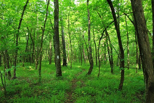
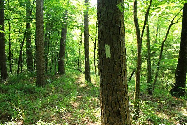
To complete the loop, the last part of the hike is a 4.1-mile hike to the east on the Ouachita Trail back to the recreation area.
Getting to Big Brushy Recreation Area
To get to Big Brushy from the northwest or southwest, turn off of Highway 71 at Y City and head east on Highway 270. After about 16 miles, you will see Big Brushy Recreation Area on your right.
If coming from the east, the recreation area will be on your left, about 30 miles past Hot Springs.
Shortly after entering the recreation area, there is a fork. Take a right, and then head to the back area near the pit toilets.
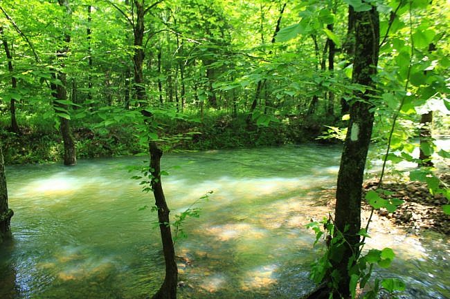
The Hike – Brushy Creek Trail: Start to FR813A
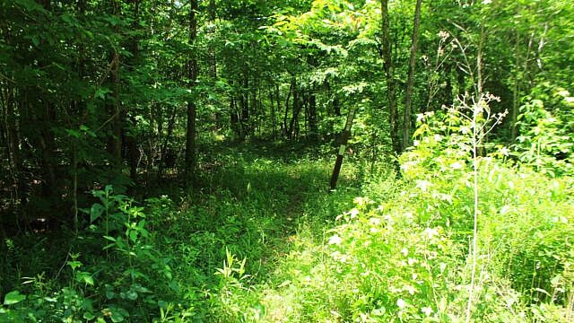
This hike starts with the Brushy Creek Trail which begins at the back of the recreation area loop by the pit toilets. There may not be any signage here. Look for a well-worn path.
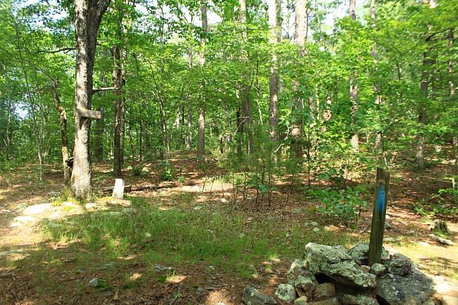
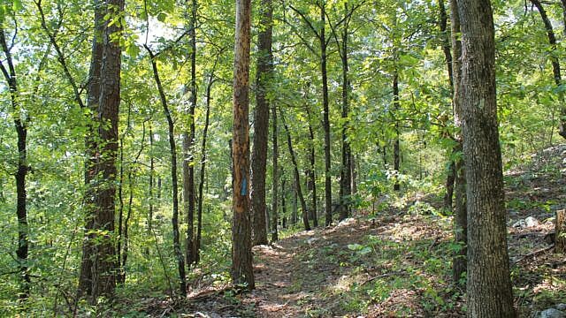
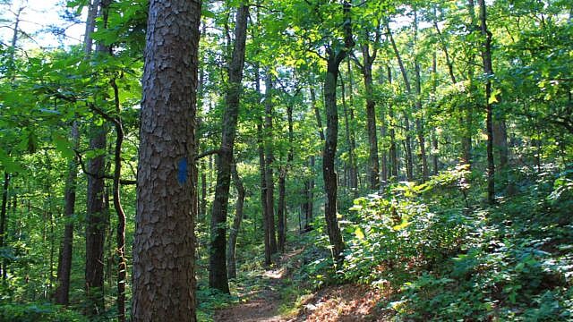
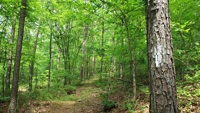
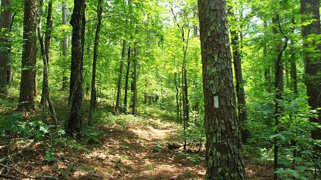
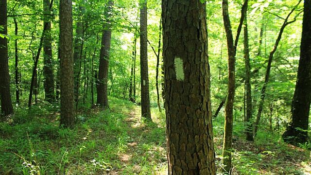
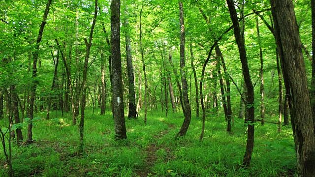
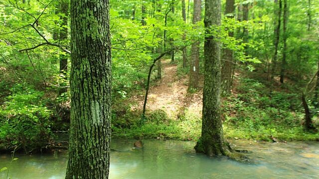
Watch for white blazes. Most of the trail is well-marked with white blazes.
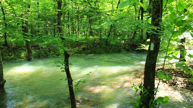
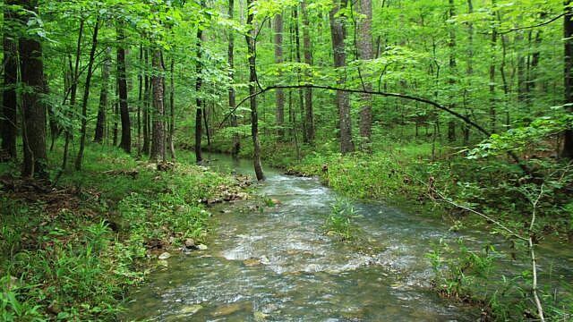
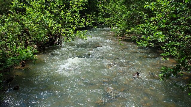
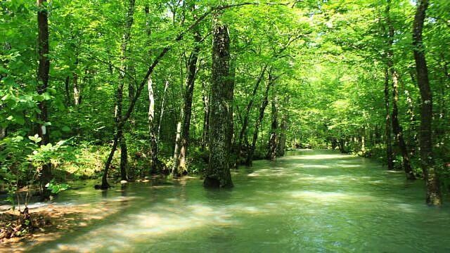
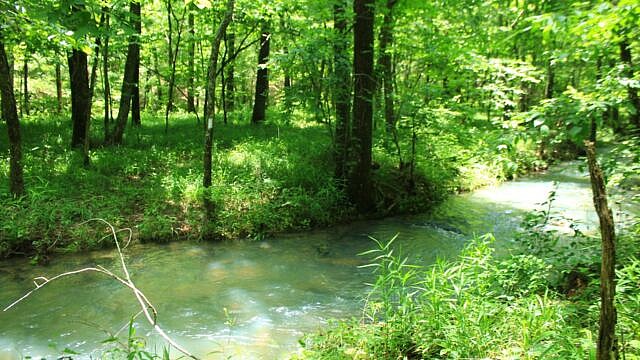
The first 2 miles of the trail go along a pretty level area following Big Brushy Creek. The creek and its branches were very scenic.
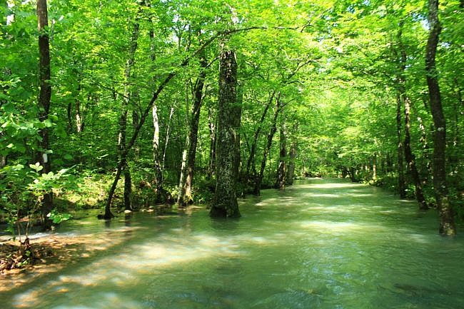
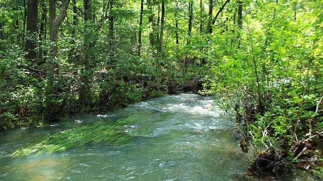
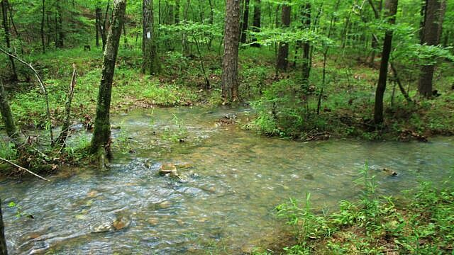
Unless you hike during a dry time, be prepared for wet crossings. When I last did this hike on June 11, 2022, we had 7 or 8 wet crossings. There had been significant rain earlier that week.
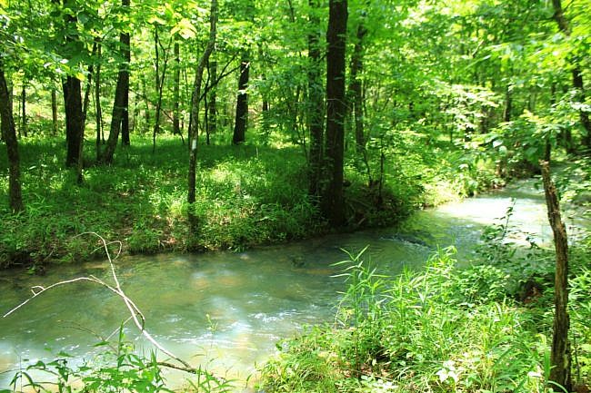
The streams are beautiful though. The crossings are on Big Brushy Creek and various tributaries and branches.
A note of caution. Fording a stream can be dangerous. Don’t cross a stream where it is more than waist deep or if you can’t see the bottom.
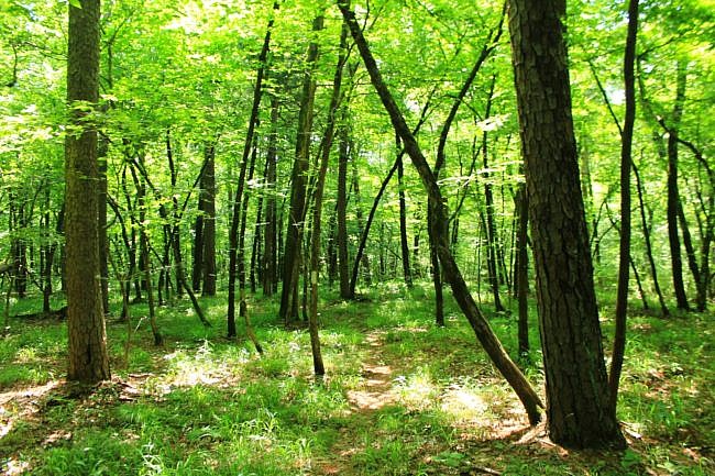
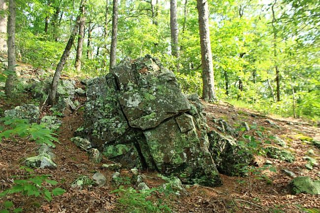
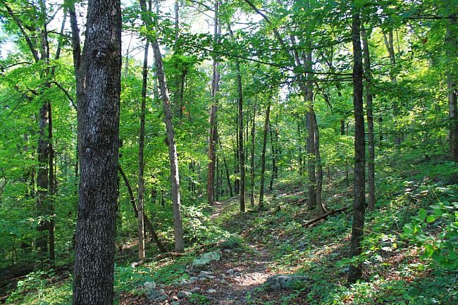
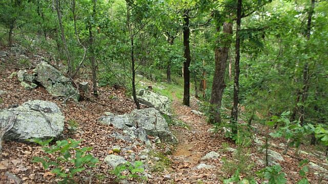
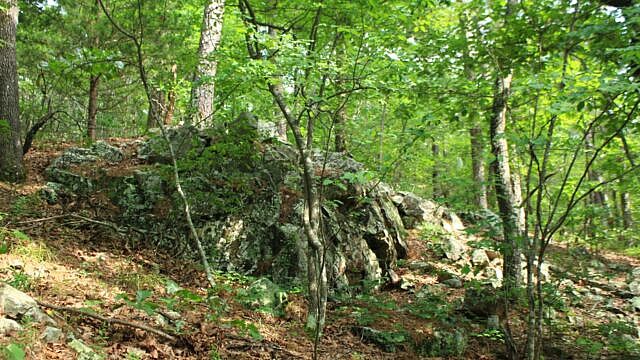
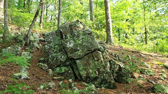
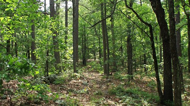
This part of the hike is largely in a fairly flat low-lying area. A lot of it is rocky. (I think rocky trails are pretty cool.)
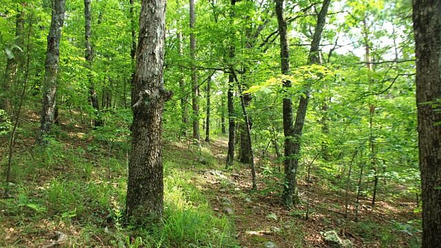
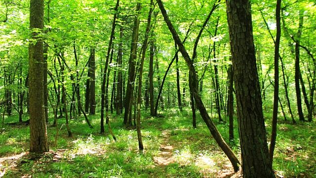
Although quite a few people do this trail, on our June hike, there were a number of areas of moderate overgrowth. Most of it was not too bad though. With few exceptions, the trail was pretty easy to follow with plenty of white blazes.
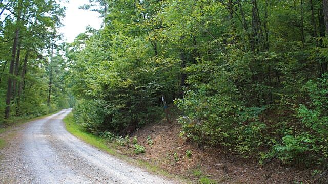
There are 2 road intersections to be prepared for. The first is at around 1.3 miles when the trail crosses Forest Road E15 (dirt road). Depending on the overgrowth, it can be easy to get confused here and not realize the trail continues straight across the road. (This was tricky for our hike in June. We thought this was the place to turn left on the forest road. It took awhile to realize the mistake.)
Here on E15, Highway 270 is only about 700 feet over to your right. Again, do not not turn left here. Just look for where the trail continues on the other side of the road.
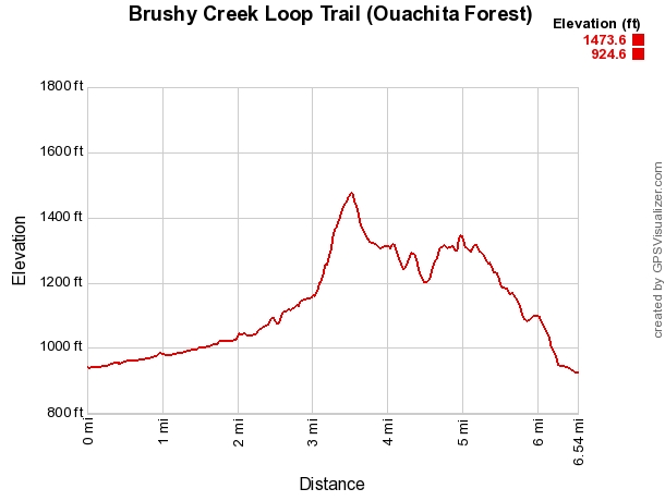
After the E15 crossing, the trail continues on very gradually heading uphill until around the 2 mile area when it starts noticeably climbing into some higher elevation areas.
But if you are hiking it during wet times, the stream crossings are not over until you get to Forest Road 813A.
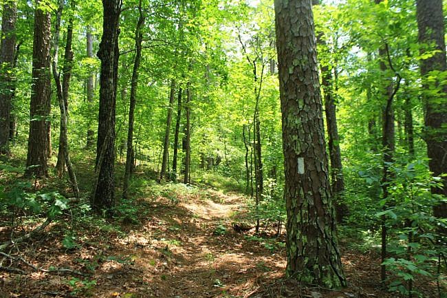
FR813A to Ouachita Trail
At about 2.5 miles, you arrive at Forest Road 813A (dirt road). Make a left turn here. There is probably no signage here, but you should see some white blazes.
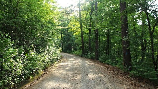
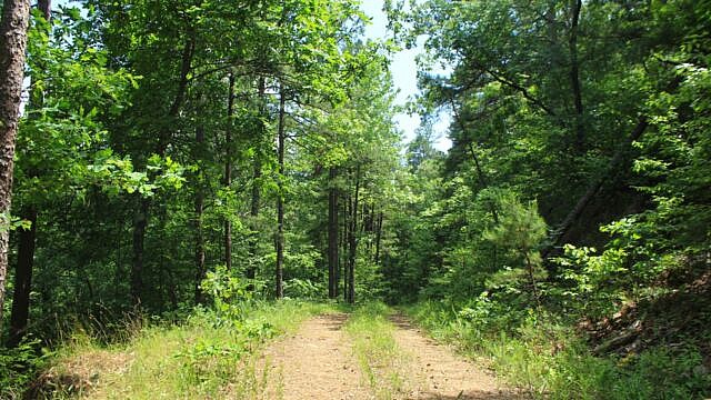
The next half-mile is a mostly uphill walk on 813A. It is pretty, but not as interesting as what follows.
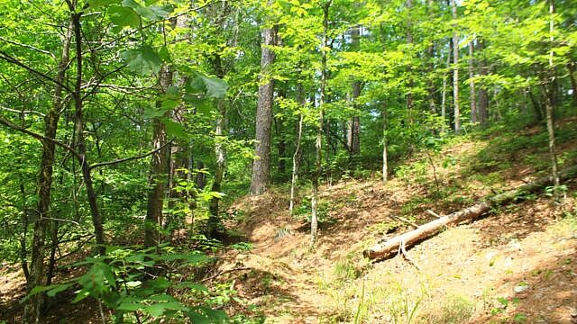
The steepest part of this hike starts at around 3 miles. This is a very scenic and interesting part of the hike. When I hiked it in June, there were some moderate overgrowth but it was not in terrible shape. It was not difficult to follow with the blazes. (On the contour map, I have this labelled as the start of the Mountain Top Trail, but actually I think this is just a continuation of the Brushy Creek Trail.)
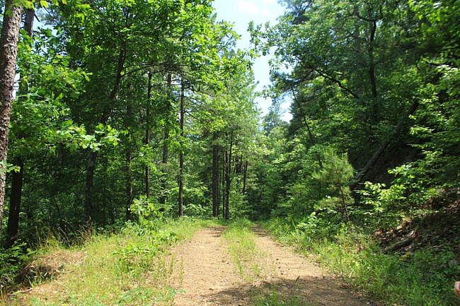
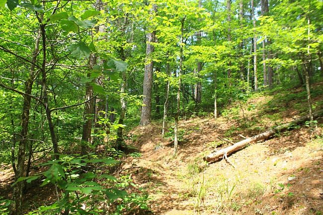
The elevation range is about 500 feet for this trail. The majority of that climb is during this steep climb.
I love the physical exertion involved in climbing hills, the changing views, and the varied topography of hill trails as they go up, down, and along hillsides.
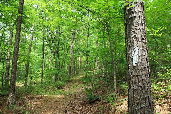
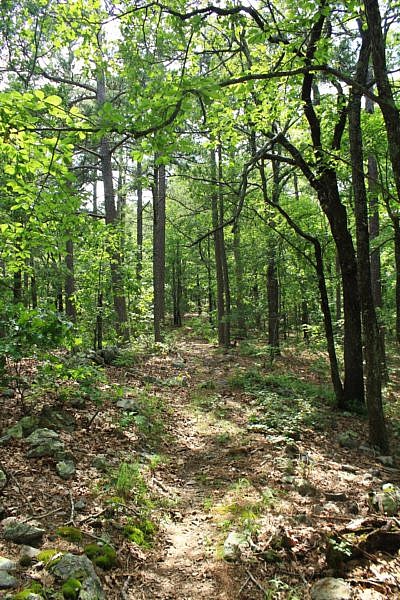
Ouachita Trail Junction to End
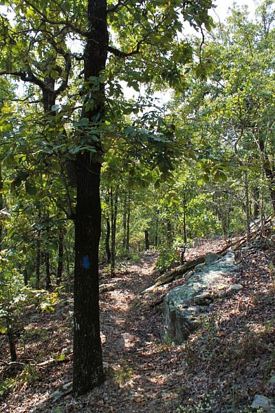
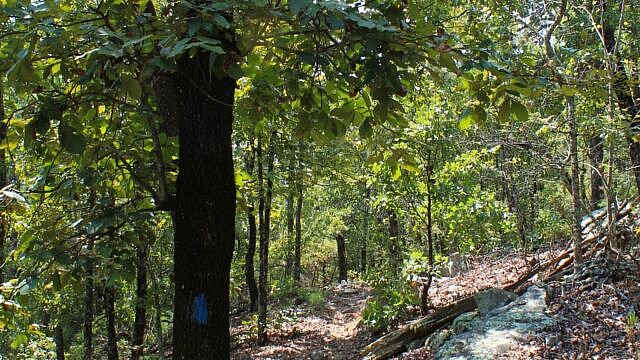
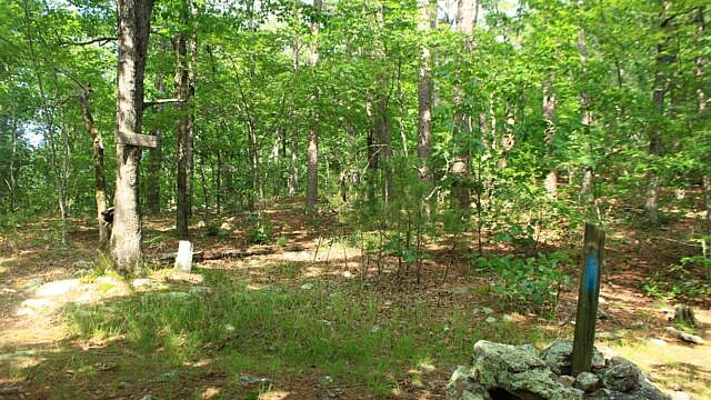
At around 3.5 miles, the white blazes end as the trail intersects with the Ouachita Trail. (Look for the blue blazes.) From here, turn left to complete the loop and head toward the recreation area. (The Ouachita Trail segment from here back to the beginning includes mile points 92, 93, and 94. They may not all be labelled.)
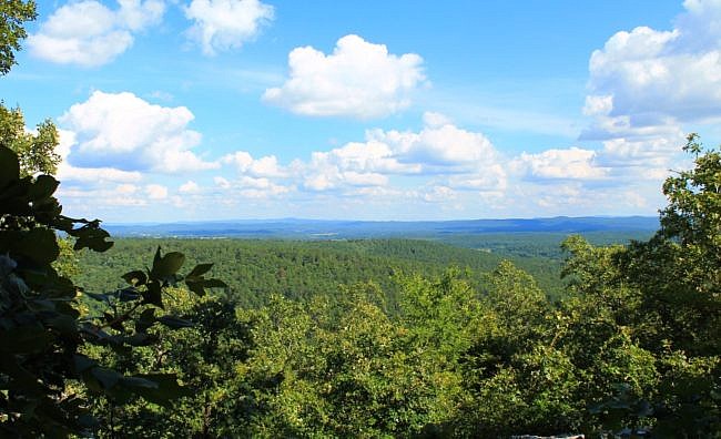
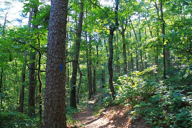
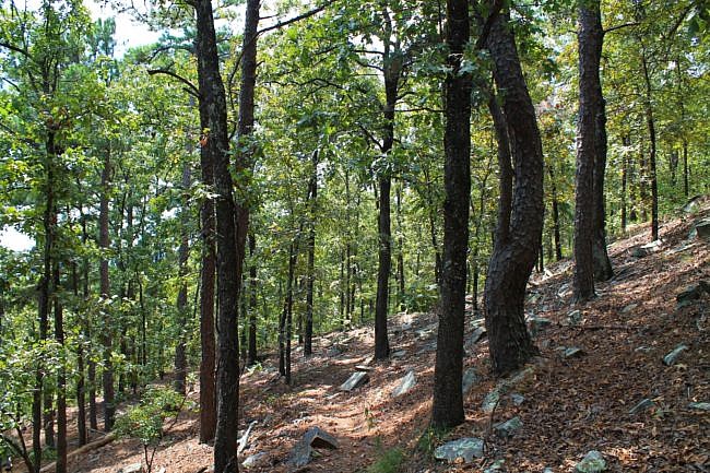
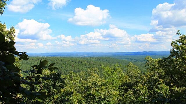
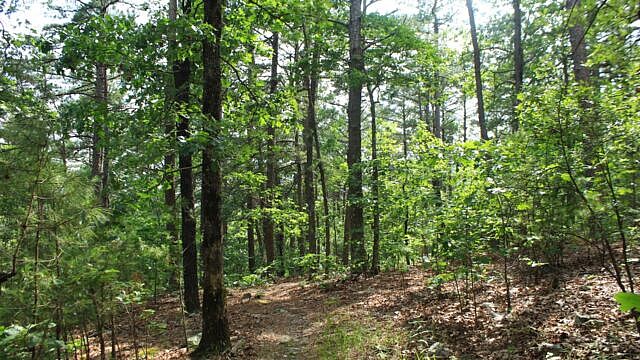
For the next 1.5 miles or so, the trail has some up-and-downhill climbing. Then there is one of the highlights of the hike. At around OT Mile Point 93 is a vista area with a great south-facing view of the Ouachita Mountains and the Ouachita River Valley.
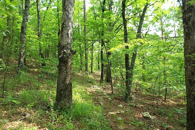
After the vista, the hike heads mostly downhill. The last half mile or so is just a walk along Forest Road 6 back to the campground. This walk is quite close to Big Brushy Creek which is very pretty when the water is flowing.
Of course, there are a lot more open views during leaf-off than during leaf-on. There are a lot of really nice views on the Ouachita Trail part during leaf-off.
Final Notes
There is quite a bit of climbing once you get past the low-lying creek and stream area. The elevation range on the loop is about 550 feet.
There was a fair amount of overgrowth in a number of places when we did our June 11, 2022 hike which is not unusual for he time of year. Most of then time when I have done the Ouachita Trail part of this hike, it has been in pretty good condition.
Big Brushy Recreation Area is a day-use area. It used to feature camping, but it no longer does due to the significant flooding risk.
I would estimate that I had AT&T cell signal about 60% of the time. (Signal tends to be better in the higher elevations.)
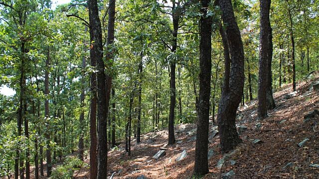
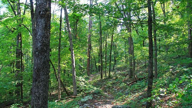
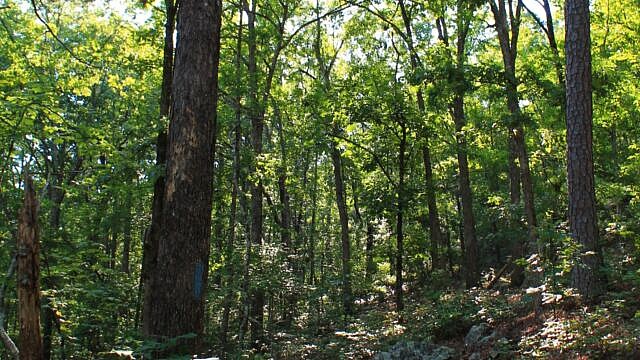
Most of these photos are from our June 11, 2022 hike with a few from June 27 and September 5, 2015.
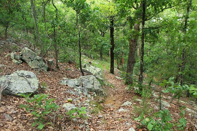
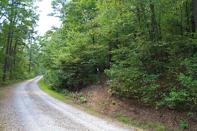
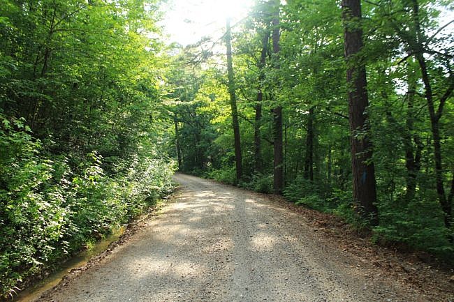
Photo Gallery
Click below for full-screen photo gallery of these and other photos from the hikes.
Map
Brushy Creek Trail Loop (Ouachita Forest) | |
|---|---|
| Location | Big Brushy Recreation Area, Ouachita National Forest, Montgomery County, Arkansas |
| Hike Length/Type | 6.5 mile loop. White blazes except blue blazes on the Ouachita Trail part. |
| Difficulty | Strenuous (4 of 5). |
| Other Permitted Usage | Mountain bikes. |
| Gpx file by Mike | Link |
| Date Hiked | June 11, 2022 (and earlier) |
| Directions | Google Maps Directions to Big Brushy Recreation Area Trailhead |
| Official Info | (479) 394-2382 (Mena/Oden Ranger Dist.) USFS Website USFS Trail Map (pdf) |

One reply on “Brushy Creek Trail Loop (Ouachita Forest) – 7 mi”
Thanks, Mike. Based on your photos and text, it looks like a nice hike.