Tall Peak Trail is one of the cool trails near Shady Lake in the Ouachita National Forest, southeast of Mena, Arkansas. The trail is just 3.1 miles each way (for a total hike of 6.2 miles), but it is a challenging climb. The elevation difference between the high and low points is nearly 1,200 feet.
The trail begins at Shady Lake Campground and heads to the top of the aptly named Tall Peak Mountain. Most of it lies in the Caney Creek Wilderness Area.
The trailhead is at Area C of the Shady Lake Campground. If the campground is closed, you can park outside the gate and walk to the trailhead.
This was my second attempt to do the Tall Peak Trail. When I first attempted it in January, I aborted the hike about half-way through because I had gotten such a late start. (I also had underestimated the elevation challenge of the trail.)
During the off-season, the Shady Lake campground gate will probably be closed, but I am told that it is still okay to walk to the trailhead and walk the trail during that time (as I did).
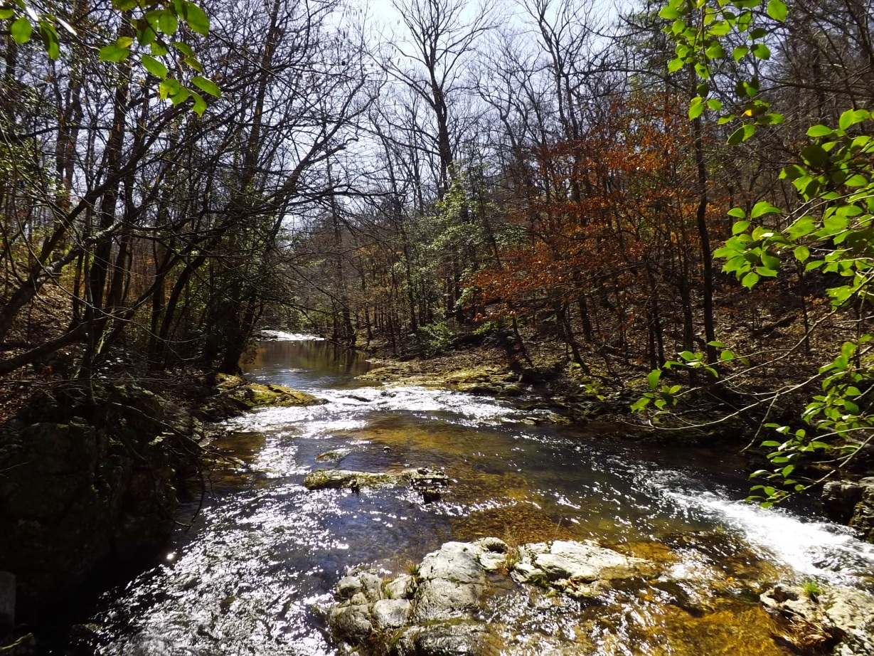
The first .7-mile of the trail is a beautiful walk along the Saline River. However, if you walk it during high water as I did in February, you will probably have some wet crossings across the river. (In this part of the state, the Saline River is more of a well-flowing creek than a river.)
When I walked this part of the trail in January, I did all five crossings without getting my feet wet. (The first crossing is just walking across a low-water bridge.) But on my February hike, I did all five crossings, wet and in my tennis shoes. (Note to self: I need to look into getting some water shoes.)
It was a very pretty day — sunny and in the 50’s — when I walked the trail in February. (You can view some more photos from my February hike at this link.)
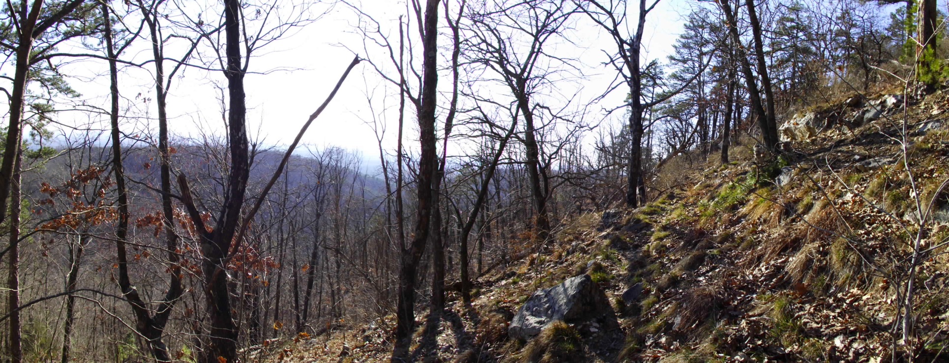
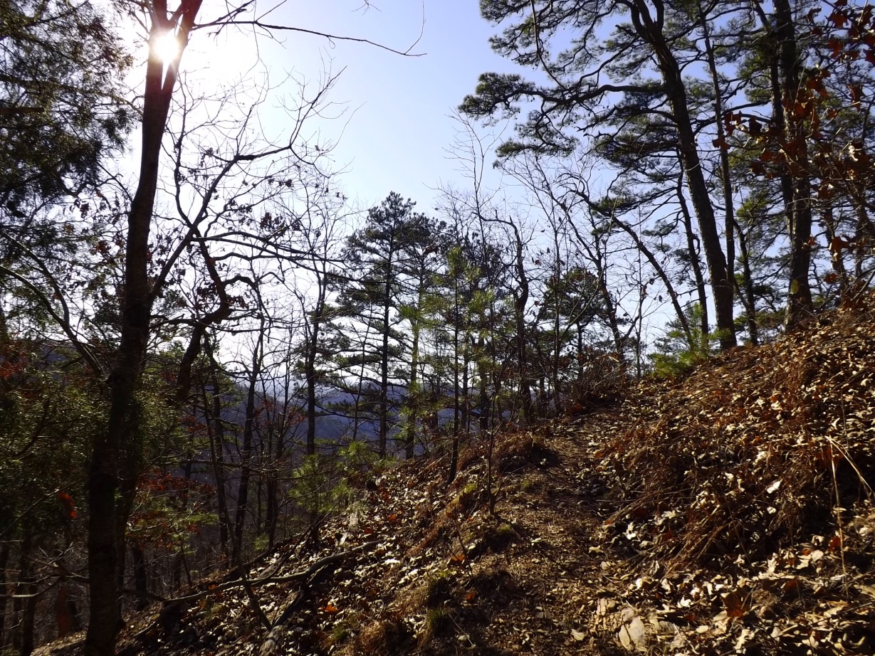
At about .7-mile, the trail starts climbing up part of Tall Peak Mountain. About a mile later, the trail levels out along a ridge for about a half-mile. Then for the last mile, there is an even steeper climb up the main part of the mountain.
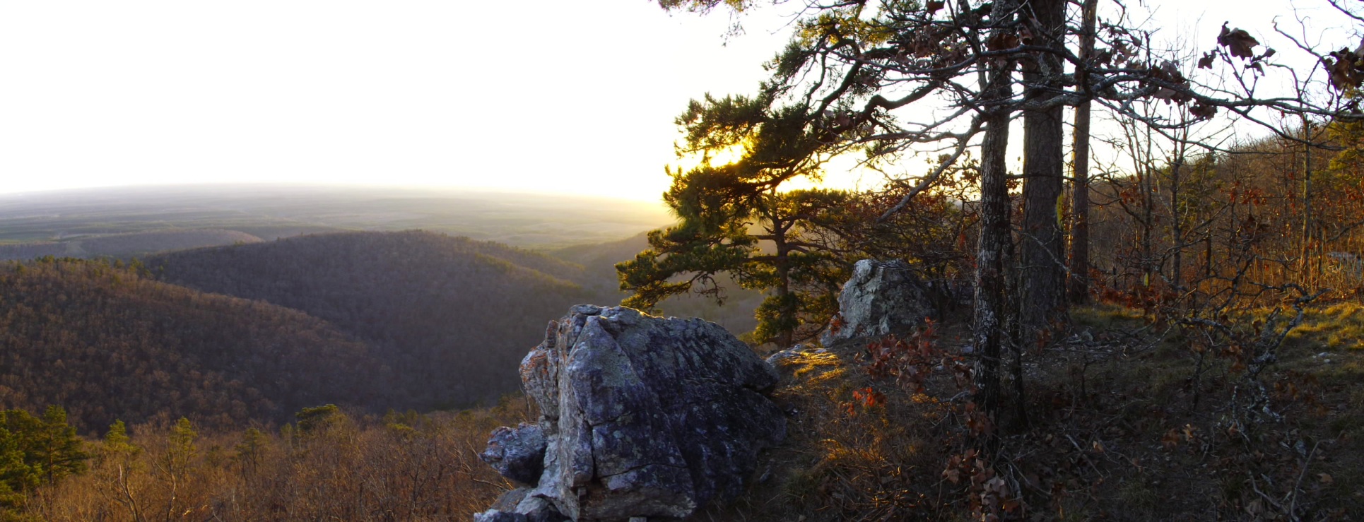
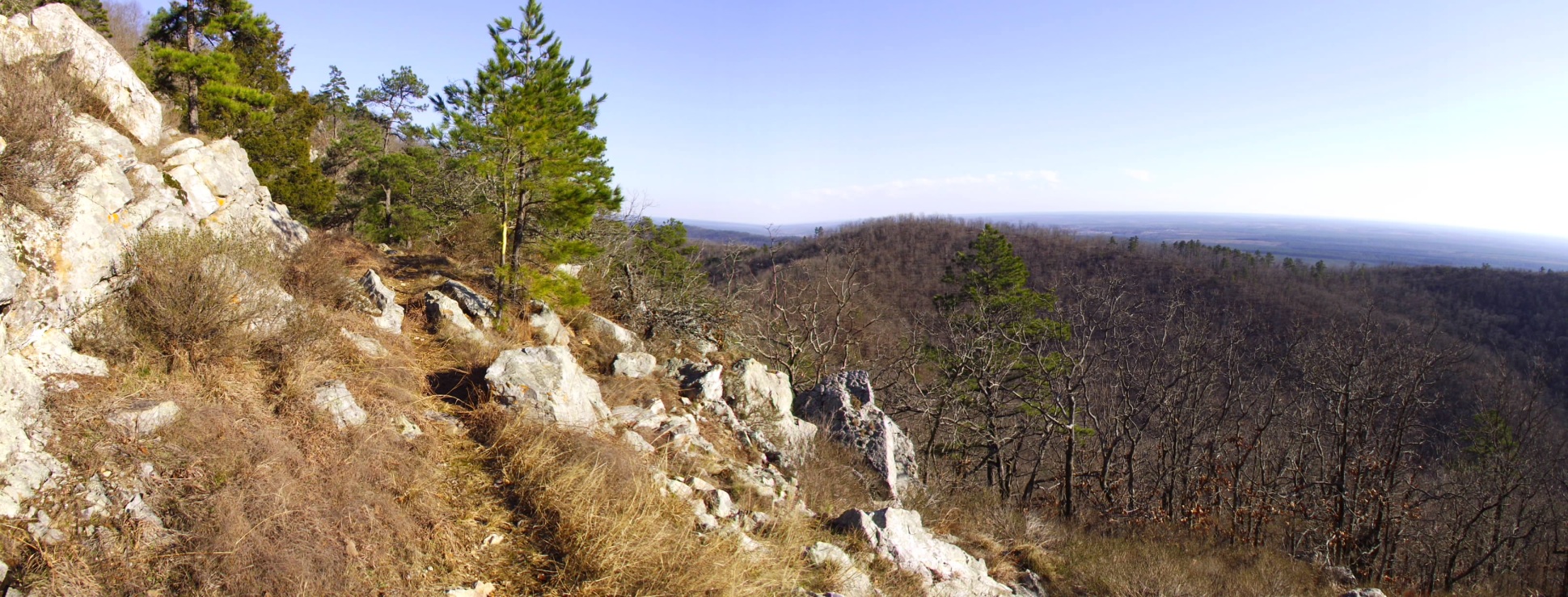
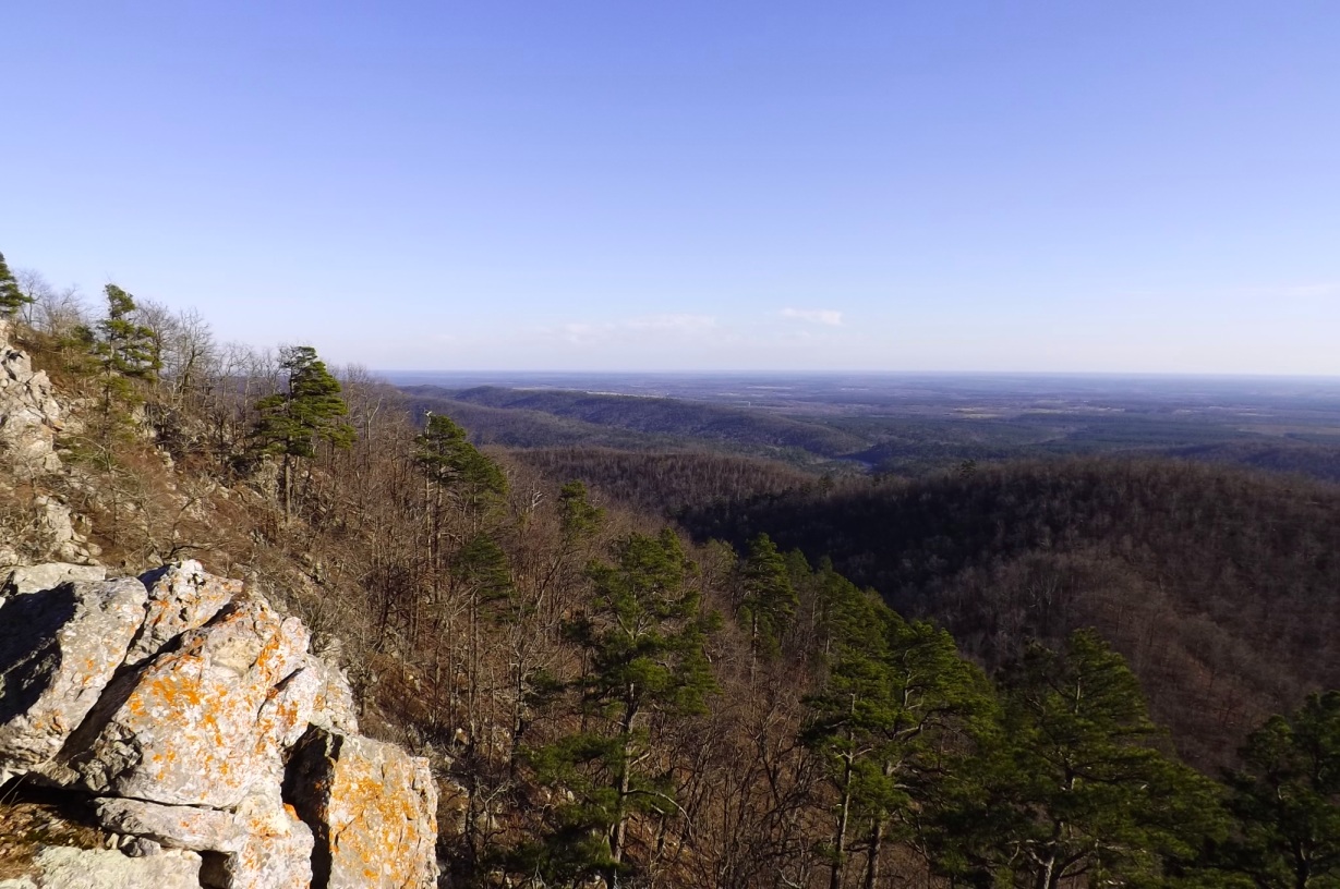
Aside from the river, the prettiest areas on the trail are a vista area at about 1.5 miles and a couple of beautiful vistas near the top of Tall Peak Mountain. The most scenic vantage point to me was a vista about a quarter-mile below the top of the mountain. (Some of my photos here are from that vista.)
At the top of the mountain, there is a watchtower which you can go into to get a 360-degree view of the surrounding area (including Shady Lake, in the distance).
If you wanted to just drive up to the top of the mountain, you could do that by driving up the dirt road that heads up the mountain. (But what fun would that be?)
Almost all of the trail was in great condition. The only problem areas I saw were near the very top where there were a few stretches of overgrowth.
Although I had an earlier start in February than I did in January, I still ran out of daylight before finishing. Thanks to the flashlight I remembered to bring and a full moon, making it back in the dark wasn’t that difficult. (Hiking in the dark is not my favorite thing to do, but it is not that bad. The bugs were not in season yet.)
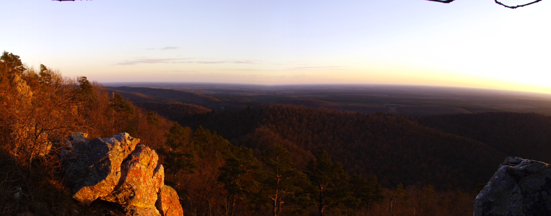
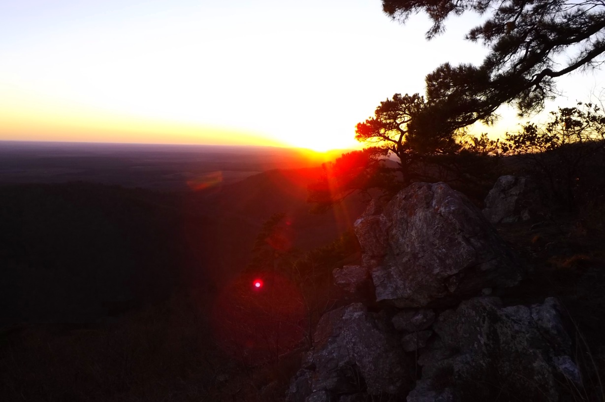
Photo Gallery
Click below for full-screen photo gallery.
[Last updated on 9-5-2018.]