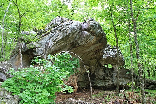
One of the most prominent trails at Lake Leatherwood City Park (Eureka Springs) is the Miner’s Rock Trail. This is a scenic and moderately challenging trail with some cool geologic formations.
Getting to Lake Leatherwood
Lake Leatherwood is a wonderful 1600-acre park owned and operated by the City of Eureka Springs. The vast majority of it is wilderness with numerous hiking and biking trails.
To get to the park, take Highway 62 to Eureka Springs. The sign for the park is visible from the highway. It is on the north side of the highway in Eureka Springs, about 3 miles west of the intersection with Highway 23. It is slightly west of Thorncrown Chapel.
Miner’s Rock Trail
The trail runs nearly three miles from the south (main) trailhead (where there is parking) to the north trailhead. It is about 3.7 miles if you make a loop of it walking back along the road to the south trailhead.
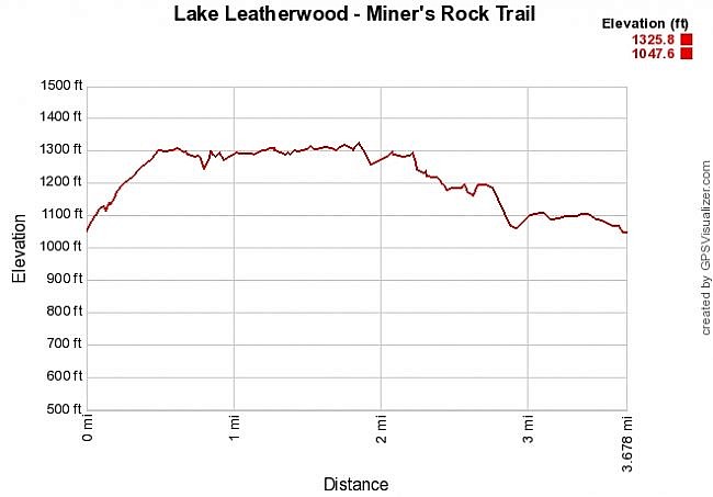
The first half-mile from the south trailhead is a pretty steady uphill climb going up about 200 feet in elevation.
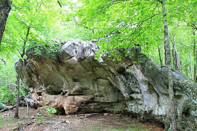
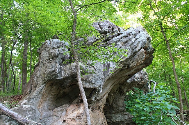
On the way up at about .3, you will see the namesake Miner’s Rock on the right. It is a large overhang rock formation .
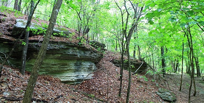
At around .5, the trail levels out and that is pretty much it for the climbing. The next 1.7 miles are fairly level with the trail winding west and east along a ridge that goes along a number of beautiful bluffs and a variety of cool rock formations.
Although I enjoy trails that go up and down hills (really), the prettiest parts of this trail are on the relatively level ridge at the high part of the trail.
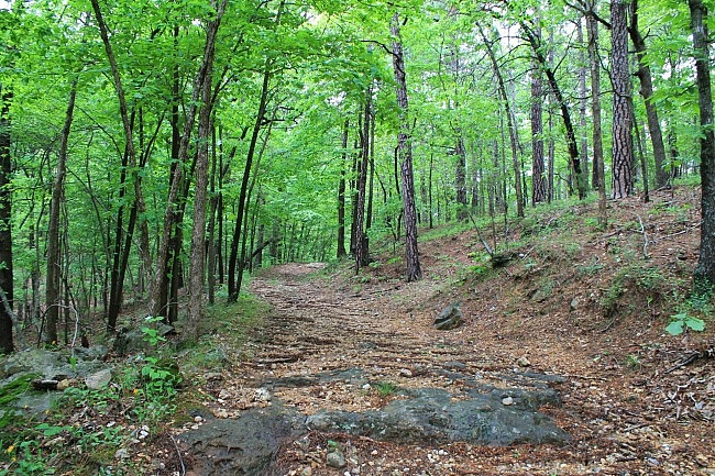
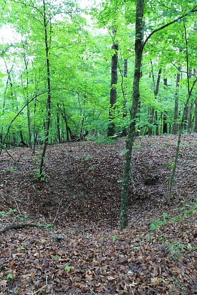
In addition to Miner’s Rock, there are a number of cool layered rocks to see along the trail. There also are some interesting sinkholes along the trail.
During wet times, there is a nice small stream crossing in this area.
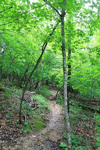
When I was there, most of the trail was in good condition and was amply blazed and signed. I had no trouble following the trail.
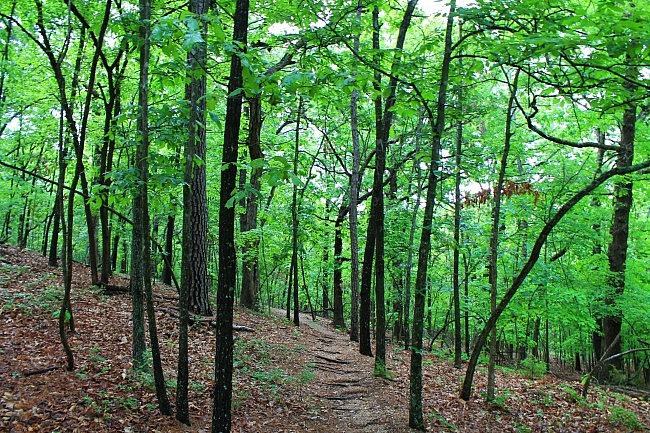
At around 2.3, the trail starts working its way downhill by about 100 feet. Then at around 2.7, it makes a more steep descent back down to the road.
There are some stretches of the trail that are basically a forest road, but even those parts are quite scenic.
Once you hit the road, you can turn right and walk the road for about .8 miles back to the south trailhead.
Additional Notes
I had AT&T cell signal most of the time on the higher elevation parts of the trail, but not so much at the lower levels.
These photos are all from 2 hikes I did on the trail on May 9 and 11 of this year. The gpx file is from a hike I did in 2010.
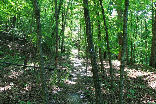
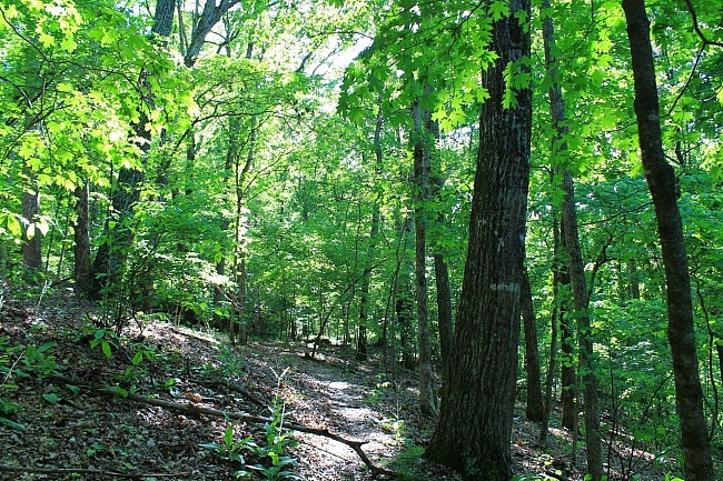
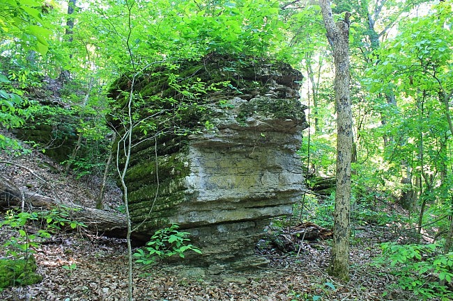
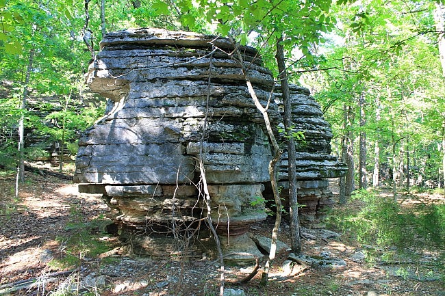
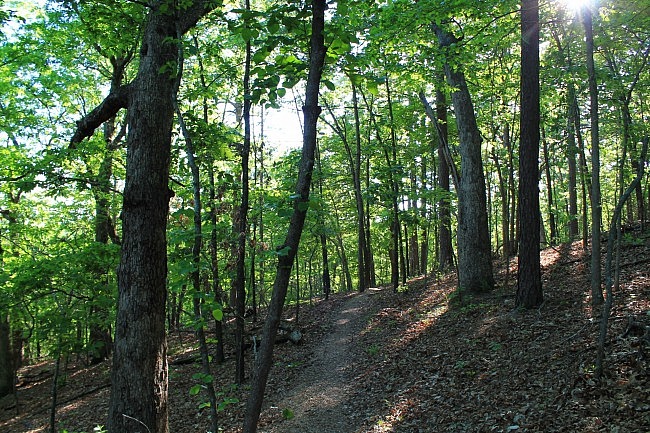
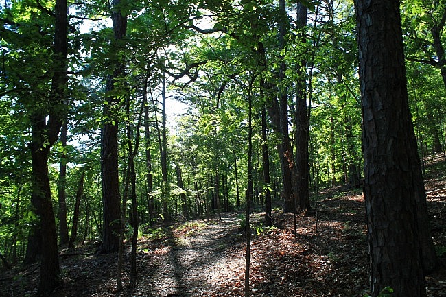
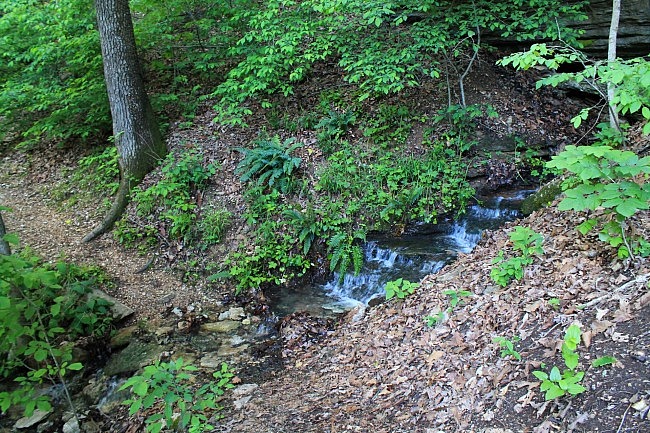
Photo Gallery
Click below for full-screen photo gallery.
Map
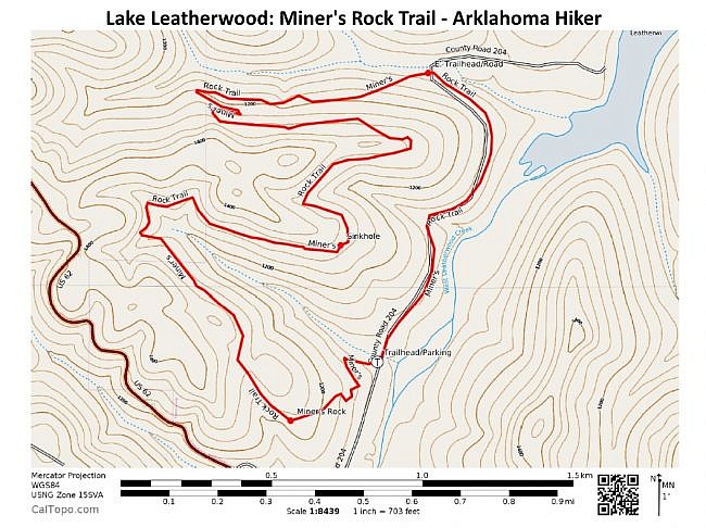
Lake Leatherwood: Miner's Rock Trail |
|
|---|---|
| Location | Lake Leatherwood Park, Eureka Springs, Carroll County, Arkansas |
| Length/Type | 2.9 mile loop (3.7 to complete the loop via road) |
| Difficulty | Moderate (3 of 5) |
| Gpx file by Mike | Gpx file link |
| Date Hiked | June 9 and 11, 2015 (and earlier) |
| Directions | Google Maps Directions to South Trailhead |
| Official Info | (479) 761-3325 Website Trail Map Flyer (pdf) |
[Last revised: 8-1-2021.]


