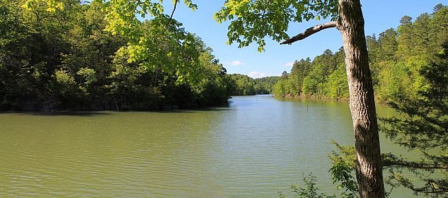
Hobbs State Park-Conservation Area (Benton County) is a wonderful place. It covers 12,000 acres and is the largest state park in Arkansas. One of the park’s most popular is the Pigeon Roost Trail.
The trail is named for the extinct passenger pigeon which used to roost in this area in massive numbers.
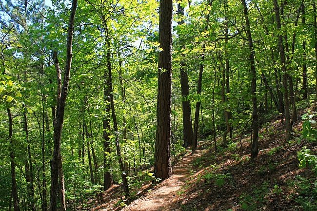
Like most of the trails at Hobbs, it covers a beautiful wooded area of rolling hills and seasonal stream beds.
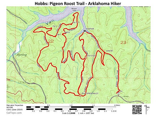
The trail consists of an initial .7-mile spur and two large loops (Dry Creek and Huckleberry) which have a .6-mile overlap. If you just do the first loop, it is about a 4-mile hike. If you do the entire trail as a figure-8 (doing the overlap twice), it’s 9.4 miles.
If you are up to it, my recommendation is just doing the outer-loop part of the trail, an 8.2-mile hike, skipping the overlap. The overlap is basically a road trace (or service road).
The highlights of the trail are the Beaver Lake overlook on the Dry Creek Loop and the lakeshore area on the Huckleberry Loop. The sinkholes on the Huckleberry Loop are also pretty cool.
Getting to Pigeon Roost Trail
Hobbs State Park-Conservation Area is in northwest Arkansas, about 10 miles east of Rogers. If you are coming from Rogers, take Highway 12 and head east.
The Pigeon Roost Trail is easy to find once you are in the park. It has its own parking area right off of Highway 12. Watch for the signs.
On the Pigeon Roost Trail
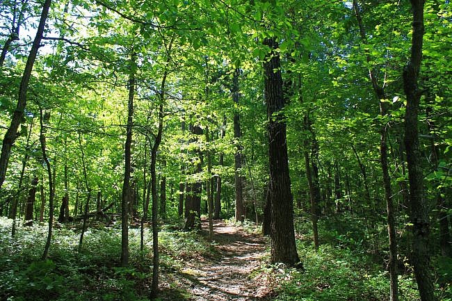
Most of the Pigeon Roost Trail winds in and out and up and down the wooded rolling hills, often following natural ridges.
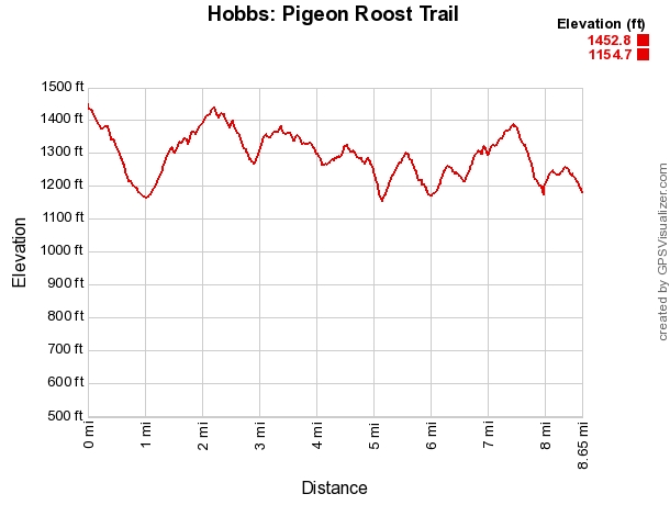
The initial .7-mile spur is generally downhill, descending about 250 feet in elevation.
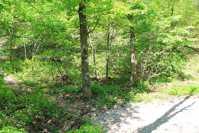
At around .7 miles, you will arrive at the Dry Creek Loop, the eastern loop. It can be easy to miss that this is a junction and not notice the path that comes in from the left. Continue straight.
It is about a half mile from here, heading generally northwest, until the trail gets to the Beaver Creek overlook. This is a very pretty spot with a nice view of this part of the lake.
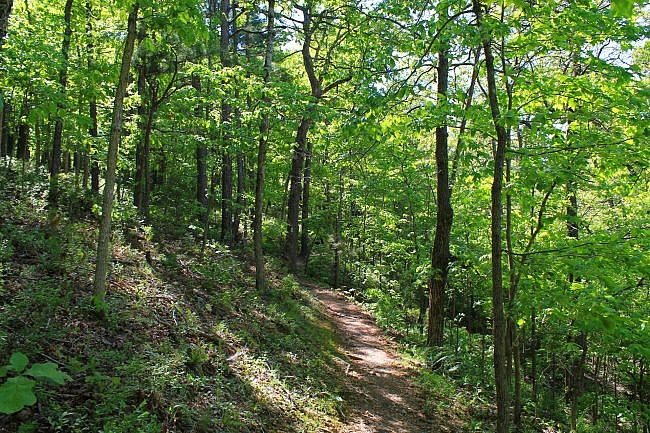
After about another half mile, the trail comes to the junction with the Huckleberry Loop. Again, you need to pay attention to spot where it splits off to the right. If you are just doing the outer loop (8.2-mile hike) turn right here.
Going straight will take you on the .6-mile overlap. If you are just doing the Dry Creek Loop, you should go straight.
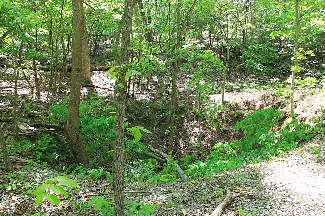
Continuing on the outer-loop hike, about another 1.1 miles from here is a cool area with some large sinkholes next to the trail.
The other main highlight of the hike is about another .7 miles further up the trail. This part of the trail goes down to a lakeshore area at one of the lowest elevation spots on the trail.
You should take the short spur which goes right down to the lake. There are some very nice views of the Van Hollow part of the lake here.
From here, the trail continues its way counterclockwise around the Huckleberry Loop. During this part of the hike, you will pass some spurs for the hike-in campsites. (These are the only camping places at Hobbs.)
Eventually, you will arrive back at the junction with the overlap. This is the south end of the overlap. If you turn left, you will be going onto the overlap and heading back to the area where you were earlier.
Go straight (or right) to continue on the outer-loop hike. You are now back on the Dry Creek Loop.
It is about 1.3 miles from here back to the initial spur. This stretch starts to head downhill fairly soon and much of it goes along a stream bed. This is one of the many scenic areas on the trail.
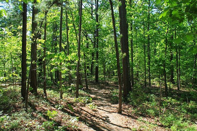
There are a number of places on the hike with scenic stream beds. If you can do the hike during the wet season, that is sure to be a treat (assuming the streams aren’t too high).
Eventually, you will get back to the junction with the initial spur. Turn right here to head back to the trailhead.
Final Notes
This is one of those hikes where the elevation change, about 300 feet, can be deceptive. If you do the 8 or 9 mile hike, your elevation gain, due to all the up and down climbing is actually around 1,400 feet.
That is why I rate the difficulty of doing this hike at very strenuous (5 of 5).
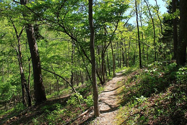
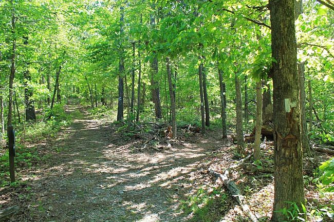
These photos are all from my hike on May 6, 2017. The trail was in good condition and was pretty easy to follow. There are white blazes.
I had AT&T cell signal about 80% of the time on my hike.
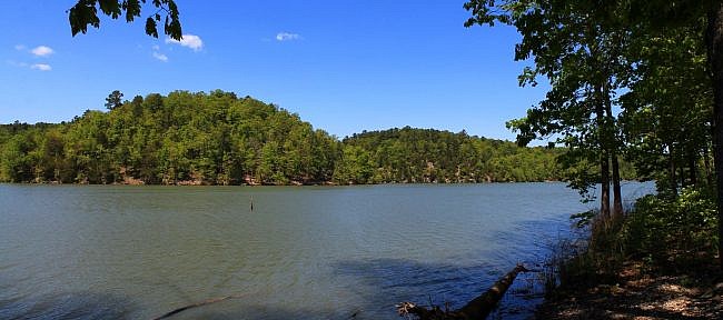
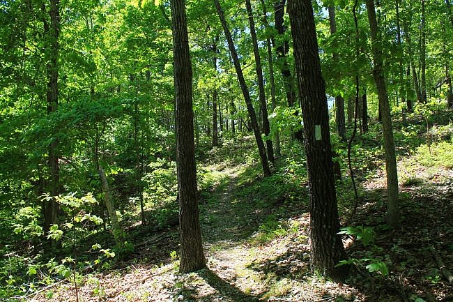
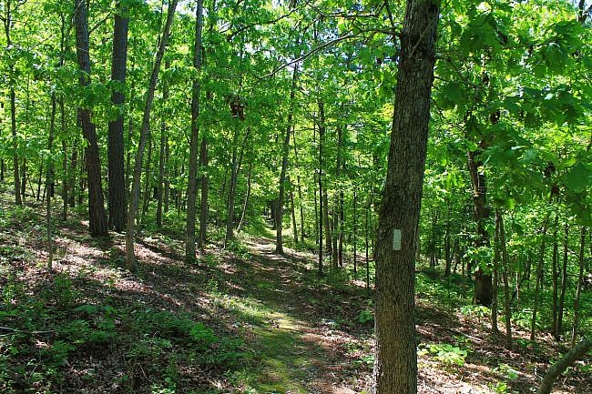
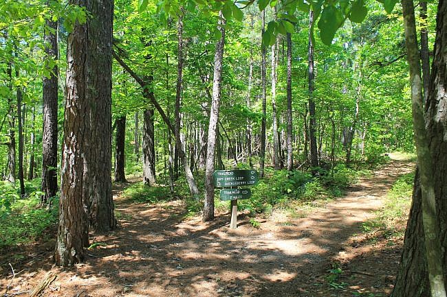
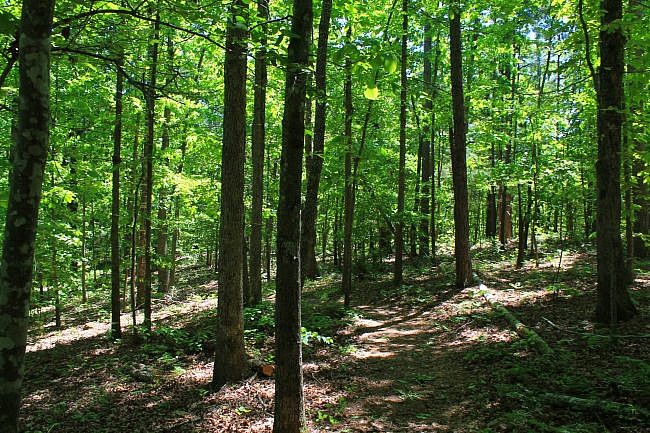
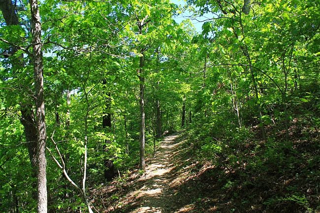
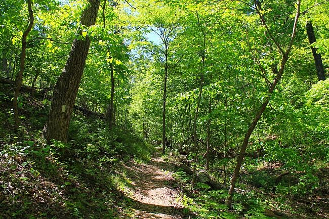
Photo Gallery
Click below for full-screen photo gallery.
Map
Hobbs: Pigeon Roost Trail |
|
|---|---|
| Location | Hobbs State Park-Conservation Area, Benton County, Arkansas |
| Hike Length/Type | The trail is a .7 mile spur then 2 loops, Dry Creek and Huckleberry, with a .6 mile overlap. -9.4 mi. - Entire trail as a figure-8. -8.2 mi. - Outer trail without the loop overlap. *Recommended.* -4.1 mi. - Dry Creek Loop hike. |
| Difficulty | Strenuous (4 of 5) |
| Other Permitted Usage | Pets on a leash. |
| Gpx file by Mike | Link |
| Date Hiked | May 6, 2017 |
| Directions | Google Maps Directions to Pigeon Roost Trailhead |
| Official Info | (479) 789-5000 Website Official Hobbs Trail Brochure (pdf) |
Last updated: 9-21-2019.


