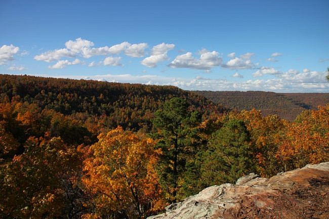
Hideout Hollow Trail is a scenic little trail in the Buffalo River Upper District (Newton County near Compton). It features some beautiful views and ends in a great bluff and waterfall area.
It is a 1.8-mile out-and-back hike (.9 miles each way). There is a lot to see and enjoy on this short trail.
Getting to Hideout Hollow Trail
The trail starts at the Shermerhorn Trailhead in the Compton area. To get there, go to the community of Compton, about 5 miles north of Ponca on Highway 43. Turn onto the dirt road at the Compton Trailhead sign. (This road is County Road 19. If you have a four-wheel drive, it will eventually lead to Erbie. You won’t need a four-wheel drive to get to this trailhead though.)
You will come to a sign directing you to the right for the Compton Trailhead. Keep going straight.
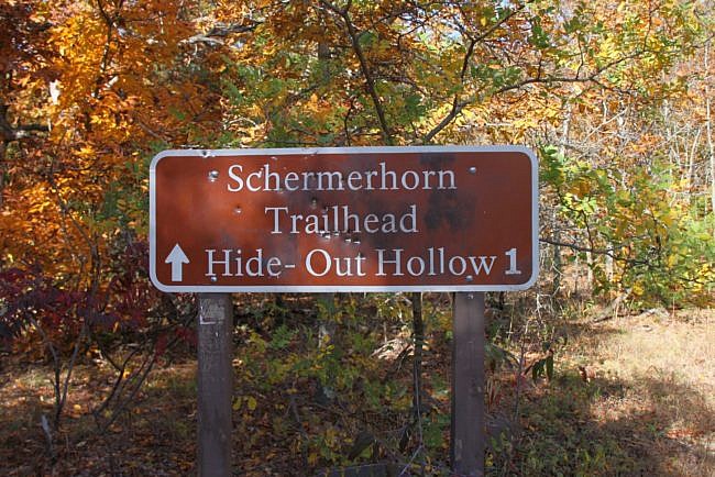
At about 3.5 miles from the highway (the road will narrow, so it will seem longer), you will see a small parking area on your left and potentially a “Shermerhorn trailhead” sign (although the sign was gone last time I was there in fall of 2018). Park in the parking area.
The trail begins behind the sign.
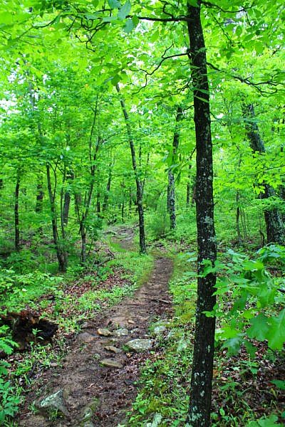
The Hideout Hollow Trail
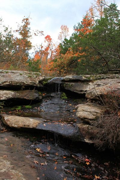
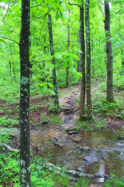
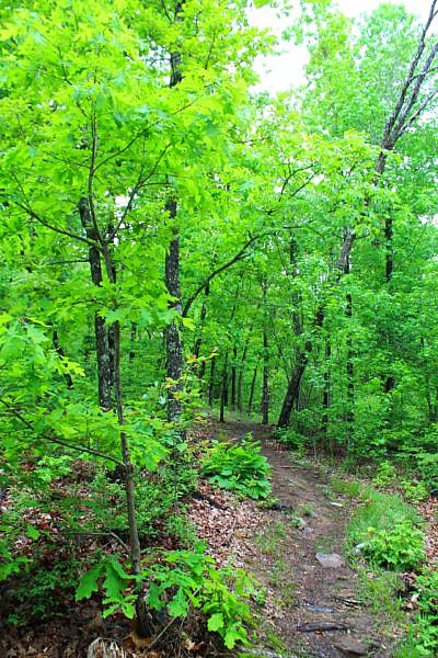
The first part of the trail isn’t terribly scenic. It heads downhill a bit (the trail is pretty rocky here), and it crosses a couple of small, mostly dry, stream beds.
It heads back uphill and then through a group of pine trees.
At about 3/4 of a mile, the trail begins to get really interesting.
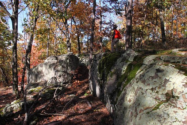
At this point, you pass a large flat rock with several other neat rocks around.
The trail then heads down the hill. In about 35 yards, you reach the top of the bluff line with expansive views over the Cecil Creek area.
The trail continues on to your left, but there are several volunteer trails to your right. Feel free to explore along these volunteer trails as they follow the bluff line to a lot of neat rock features and excellent views.
Caution: Be very careful in the bluff area. A fall could be fatal or result in serious injury.
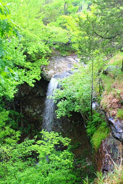
Back on the trail, it stays near the bluff line for a few hundred yards until crossing a small stream. The stream tumbles over the edge of the bluff creating Hideout Hollow Falls. The waterfall is 37 feet tall.
So at this point, you have a couple of options.
The first is to follow the bluff line around to the other side of the Hollow. The trail here is a volunteer trail, but it is very easy to follow. It crosses over some rocks and up a hill.
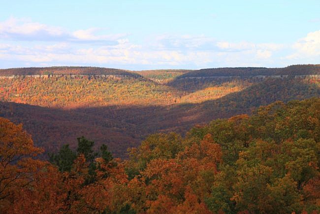
At the top of the hill is a spectacular view of the Cecil Creek Valley.
Also, if you look down, you’ll see a couple of huge boulders that were once part of the bluff.
Getting to the Bottom of Hideout Hollow Falls
Once you take in the full view of the waterfall, you may wonder how to get down to the bottom of the falls.
Going to the bottom of the waterfall is a challenge and not a part of a sanctioned trail, so you would be doing it at your own risk.
Here’s how you would get down there if you wanted to try it. Go back to the top of the falls. If you look out over the falls, you will see a ledge on your left. Follow this ledge out.
The ledge is fairly wide, but it has an overhang. So the two options here are to crawl on your hands and knees, or be on the very edge close to the ledge.
Follow this for about 40 yards or so.
At the end of the ledge, there are some rocks that have been stacked up to make some “stairs” that you can climb down. Again, be very careful.
Once at the bottom, there are a lot of interesting things to see. The highlight, of course, is the waterfall itself.
If you then follow the bluff line to the opposite side of where you came down, there are the remains of an old dwelling. This spot is pretty cool. This wouldn’t have been a bad place to live!
Take your time and explore; then head back to the trailhead the way you came in.
Final Notes
This is a great little hike with a lot of scenic views, rock formations, and a waterfall. There’s a little something for everyone.
I rate the difficulty of the trail as mildly challenging (2 of 5). The elevation change is about 150 feet.
As for footwear, I recommend hiking boots on this trail. The beginning of this trail is hard on the ankles without them.
You can read more about this trail in Tim Ernst’s “Buffalo River Hiking Trails.”
While in the area, you may want to check out the Hemmed-in Hollow Trail.
Most of these photos are from my October 31, 2013 hike. The other photos (as indicated) were taken by Mike Newman on May 10, 2015.
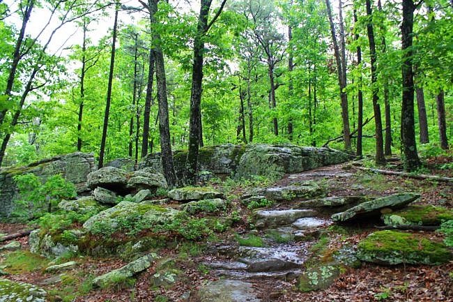
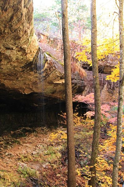
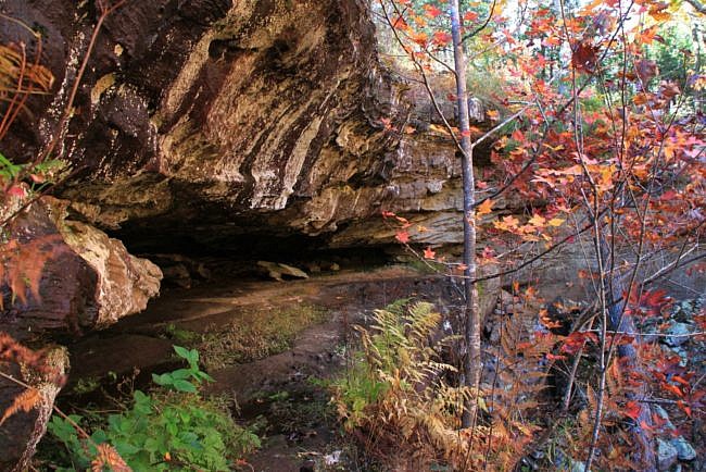
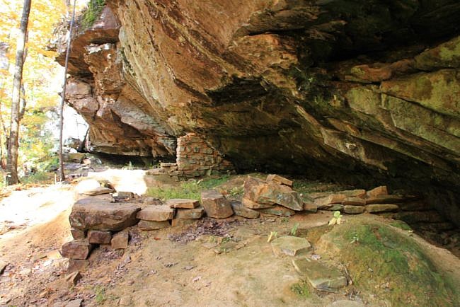
Photo Gallery
Click below for full-screen photo gallery.
Map
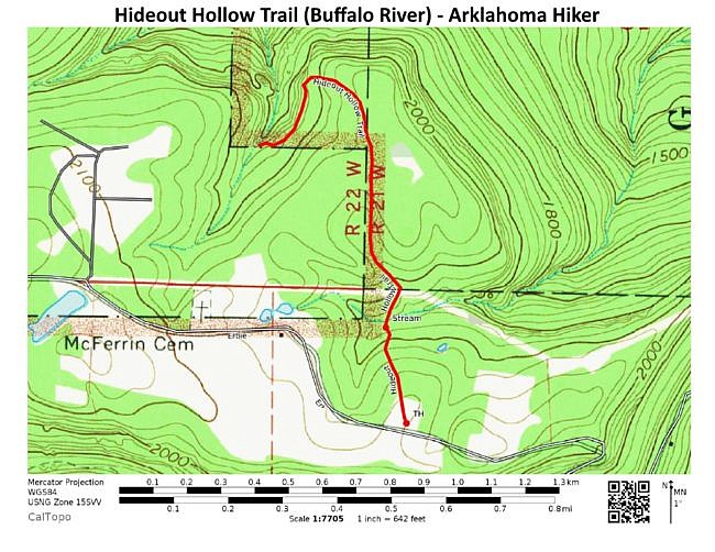
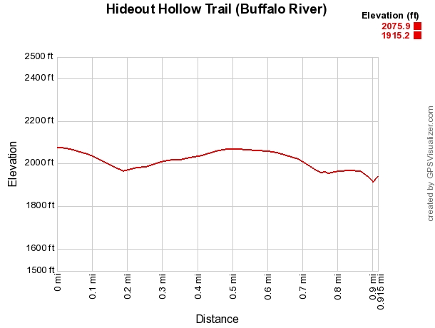
Hideout Hollow Trail (Buffalo River) | |
|---|---|
| Location | Buffalo National River near Compton, Newton County, Arkansas |
| Length/Type | 1.8 miles out and back (.9 miles each way). |
| Difficulty | Mildly challenging (2 of 5) |
| Gpx file by Mike | Link |
| Date Hiked | October 31, 2013 (and other times). |
| Directions. | Google Maps Directions to Trailhead |
| Official Info | (870) 439-2502 (Tyler Bend Visitor Center Information) Website |
[A version of this post was originally published on November 1, 2013 on the blog “Exploring Northwest Arkansas.”]
Last updated 9-16-2019. (Updated gallery.)


One reply on “Hideout Hollow Trail + Falls (Buffalo River) – 2 mi (o&b)”
Lovely…ain’t been there yet…mebbe someday.